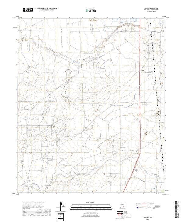
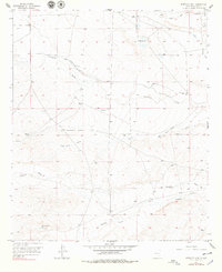
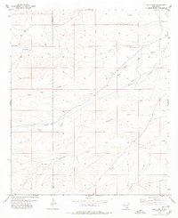
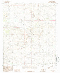
2023 Map of Dayton
USGS Topo · Published 2023About this map
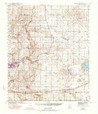
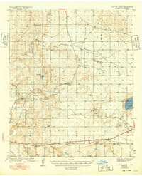
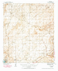
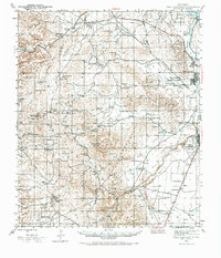
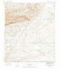
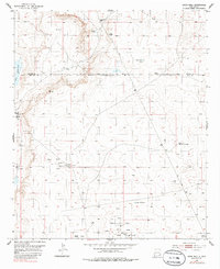
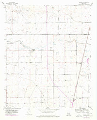
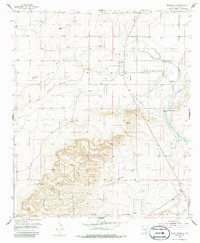
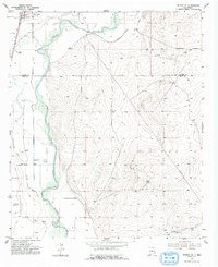
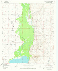
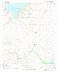
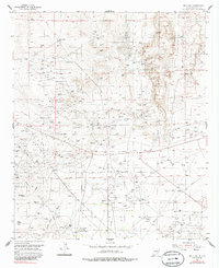
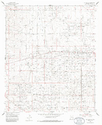
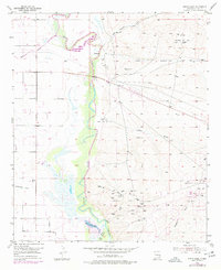
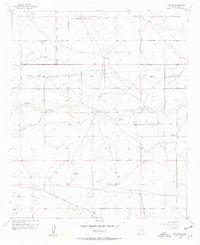
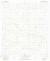
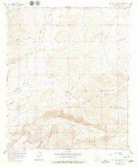
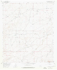
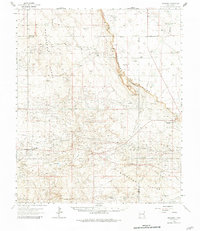
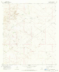
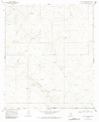
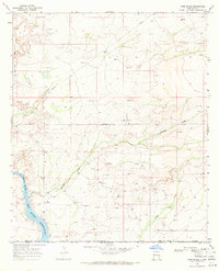
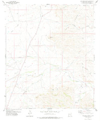
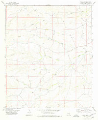
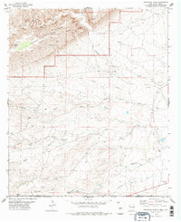
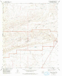
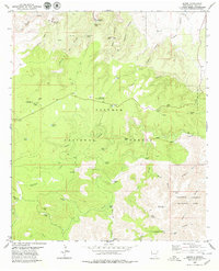
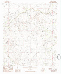
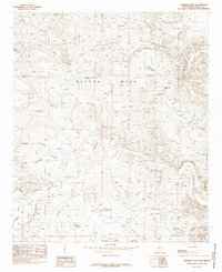
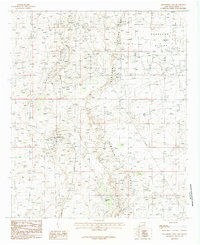
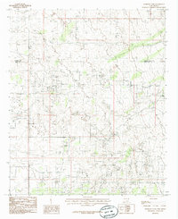
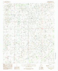
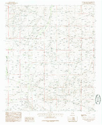
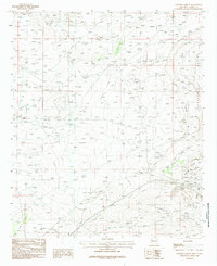
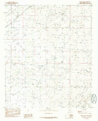
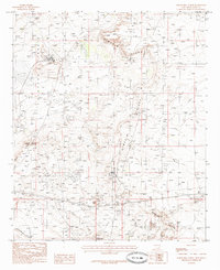
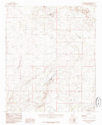
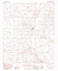
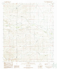
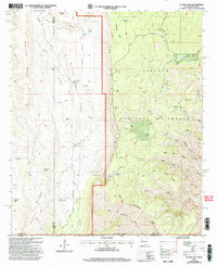
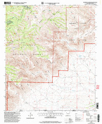
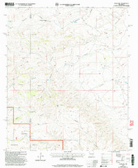
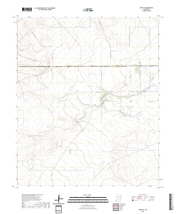
The Rio Peñasco winds across the northern landscape of Eddy County, defining a region where water management and ranching roads dominate the geography. In the east, the settlement of Dayton sits near the river's path, while the Frontier Post area marks a point of interest further south. The southern portion of this territory is drained by the North Seven Rivers, which flows past the Lakewood Cem, providing a key landmark for local history and genealogy research in this part of New Mexico.
Find a feature on this map
33 named features on this map. Tap any name to fly to it.
Don’t see what you’re looking for? This feature index may not catch every label — zoom into the map to look around manually.
Map Details
Editions of this 2023 Dayton Map
This is the sole edition of this map. No revisions or reprints were ever made.
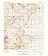
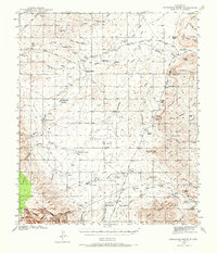
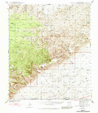
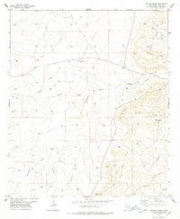
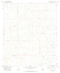
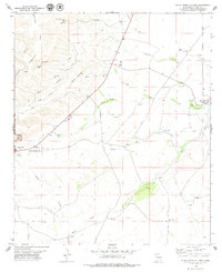
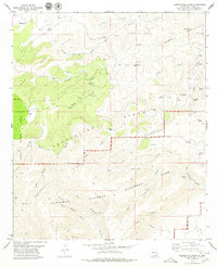
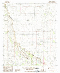
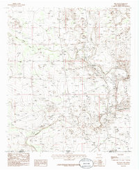
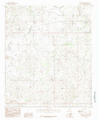
Historical Maps of Frontier Post Through Time
149 maps found
1939 Nash Draw
Eddy County, NM
1940 Bandanna Point
Eddy County, NM
1940 Carlsbad Caverns West
Eddy County, NM
1942 Clayton Basin
Eddy County, NM

1943 Bandanna Point
Eddy County, NM

1943 Carlsbad Caverns West
Eddy County, NM
1943 Clayton Basin
Eddy County, NM

1943 Nash Draw
Eddy County, NM
1943 Oil City
Eddy County, NM
1943 West Carlsbad
Eddy County, NM
1945 Carlsbad Caverns East
Eddy County, NM

1945 West Carlsbad
Eddy County, NM

1947 Carlsbad Caverns East
Eddy County, NM

1951 Diamond Mound
Eddy County, NM
1953 Basin Well
Eddy County, NM
1953 Espuela
Eddy County, NM
1954 Seven Rivers
Eddy County, NM
1955 Artesia NE
Eddy County, NM
1955 Dayton
Eddy County, NM
1955 Hope NE
Eddy County, NM

1955 Hope NW
Eddy County, NM
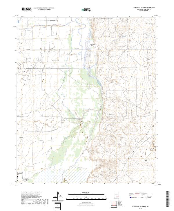
1955 Lake Mc Millan North
Eddy County, NM
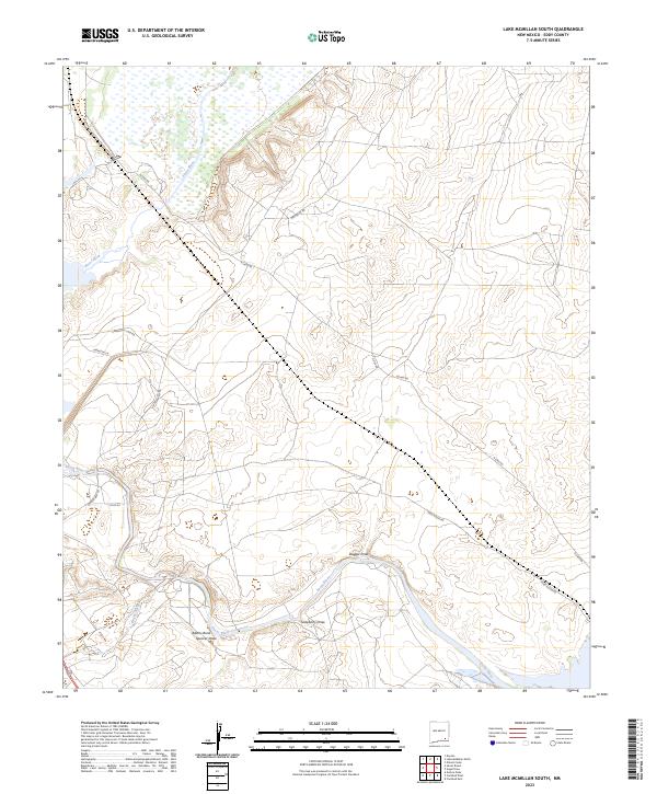
1955 Lake Mc Millan South
Eddy County, NM
1955 Red Lake
Eddy County, NM
1955 Red Lake SE
Eddy County, NM
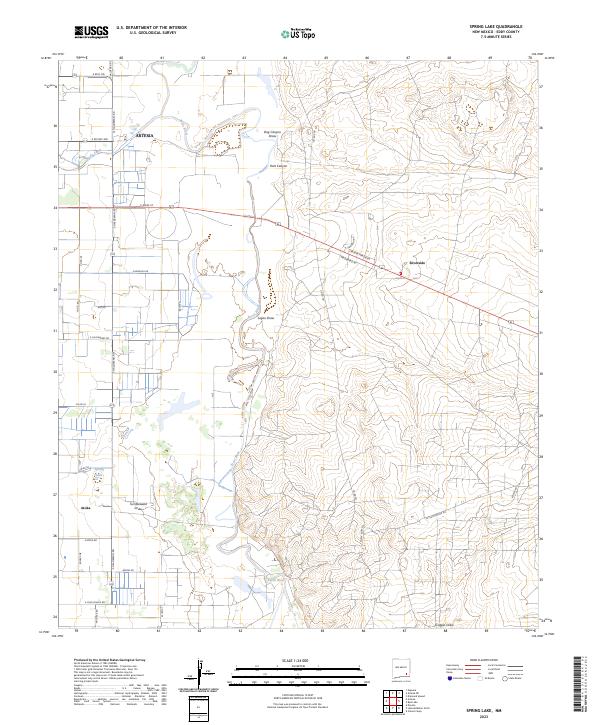
1955 Spring Lake
Eddy County, NM
1956 Antelope Sink
Eddy County, NM
1956 Hope SE
Eddy County, NM
1956 Parish Ranch
Eddy County, NM
1957 Box Canyon Ranch
Eddy County, NM
1957 Foster Ranch
Eddy County, NM
1963 Maljamar
Eddy County, NM
1968 Big Sinks
Eddy County, NM
1968 Phantom Banks
Eddy County, NM

1968 Pierce Canyon
Eddy County, NM
1968 Ross Ranch
Eddy County, NM
1978 Bandanna Point
Eddy County, NM
1978 Cawley Draw
Eddy County, NM
1978 Grapevine Draw
Eddy County, NM
1978 Holt Tank
Eddy County, NM
1978 Martha Creek
Eddy County, NM
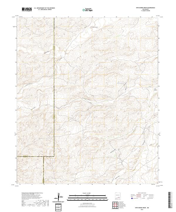
1978 Strychnine Draw
Eddy County, NM
1979 Black River Village
Eddy County, NM
1979 Carlsbad Caverns
Eddy County, NM
1979 El Paso Gap
Eddy County, NM
1979 Gunsight Canyon
Eddy County, NM
1979 Pickett Hill
Eddy County, NM
1979 Queen
Eddy County, NM
1979 Serpentine Bends
Eddy County, NM
1985 Angel Draw
Eddy County, NM
1985 Azotea Peak
Eddy County, NM
1985 Bond Draw
Eddy County, NM

1985 Carlsbad East
Eddy County, NM

1985 Carlsbad West
Eddy County, NM
1985 Carnero Peak
Eddy County, NM
1985 Cottonwood Hills
Eddy County, NM
1985 Greenwood Lake
Eddy County, NM
1985 Hackberry Lake
Eddy County, NM
1985 Henshaw Tank
Eddy County, NM
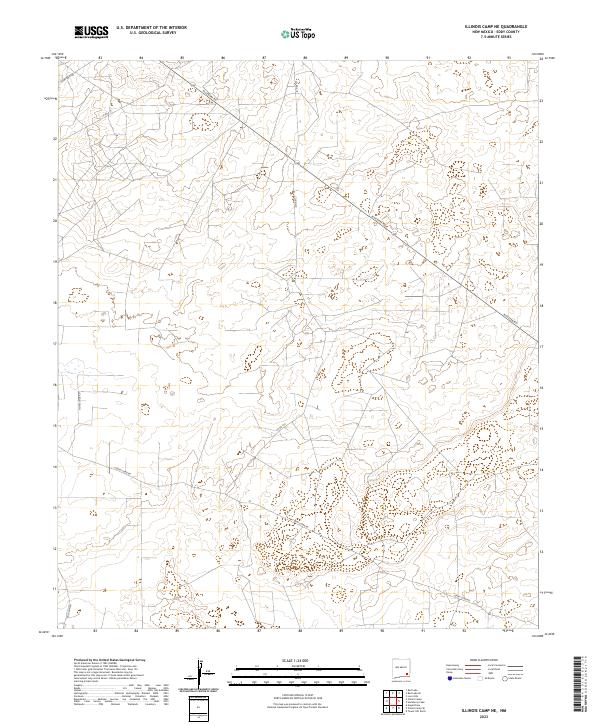
1985 Illinois Camp
Eddy County, NM
1985 Illinois Camp NE
Eddy County, NM
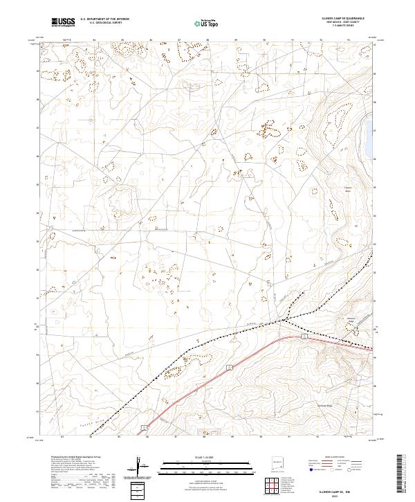
1985 Illinois Camp SE
Eddy County, NM
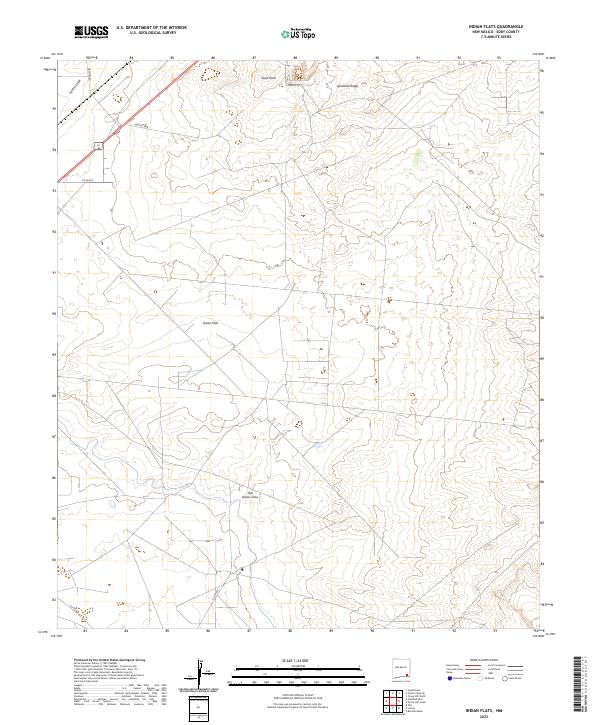
1985 Indian Flats
Eddy County, NM
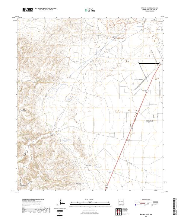
1985 Kitchen Cove
Eddy County, NM
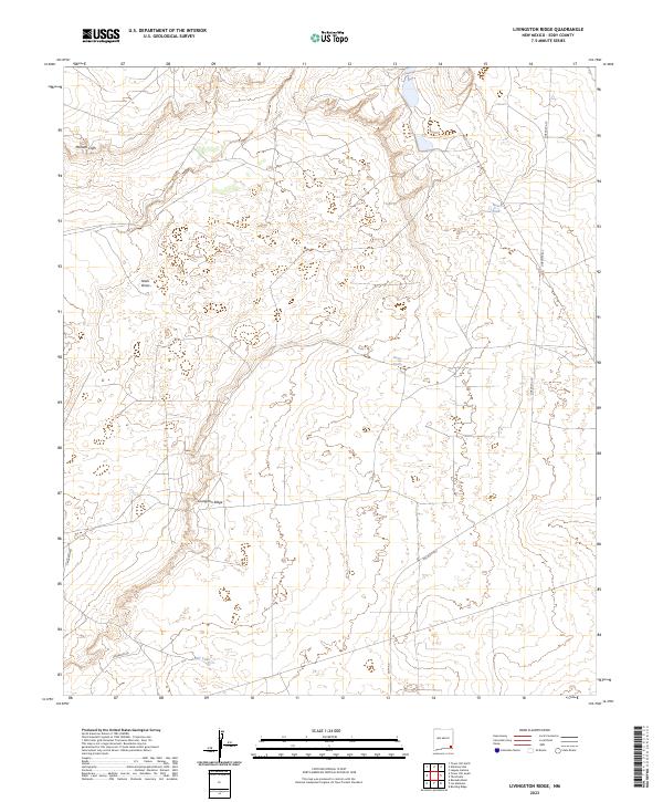
1985 Livingston Ridge
Eddy County, NM
1985 Los Medanos
Eddy County, NM

1985 Maljamar
Eddy County, NM
1985 Maljamar NE
Eddy County, NM

1985 Otis
Eddy County, NM
1985 Red Bluff
Eddy County, NM
1985 Remuda Basin
Eddy County, NM
1985 Tower Hill North
Eddy County, NM
1985 Tower Hill South
Eddy County, NM
1985 Williams Sink
Eddy County, NM
1989 Sixteenmile Draw East
Eddy County, NM

2001 Ares Peak
Eddy County, NM
2001 El Paso Gap
Eddy County, NM
2001 Gunsight Canyon
Eddy County, NM
2001 Pickett Hill
Eddy County, NM

2001 Queen
Eddy County, NM
2001 Red Bluff Draw
Eddy County, NM

2001 Serpentine Bends
Eddy County, NM
2001 Texas Hill
Eddy County, NM
2023 Angel Draw
Eddy County, NM
2023 Antelope Sink
Eddy County, NM
2023 Ares Peak
Eddy County, NM
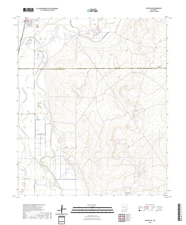
2023 Artesia NE
Eddy County, NM
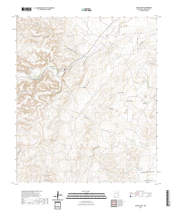
2023 Azotea Peak
Eddy County, NM
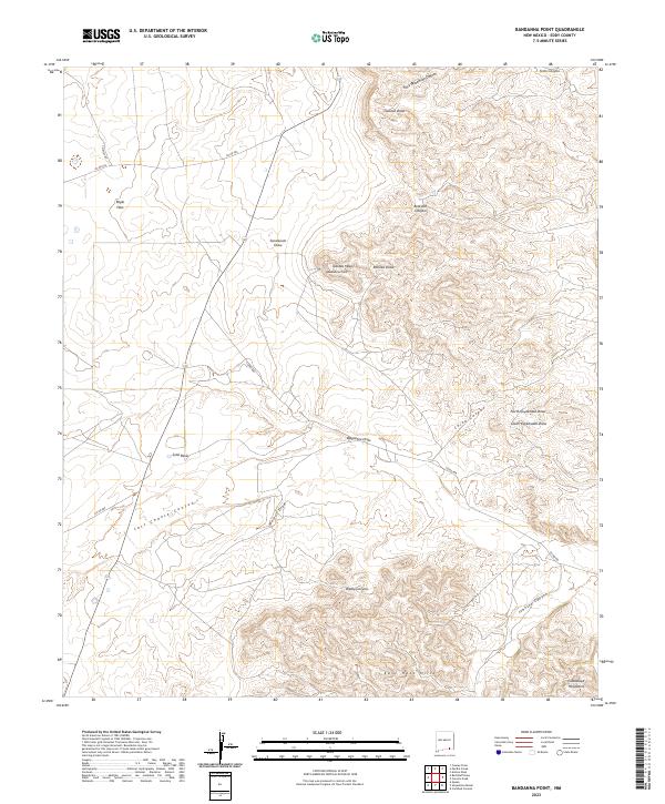
2023 Bandanna Point
Eddy County, NM
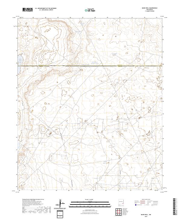
2023 Basin Well
Eddy County, NM
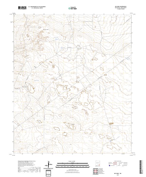
2023 Big Sinks
Eddy County, NM
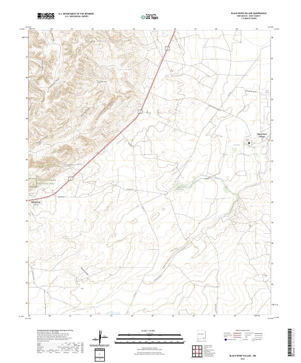
2023 Black River Village
Eddy County, NM
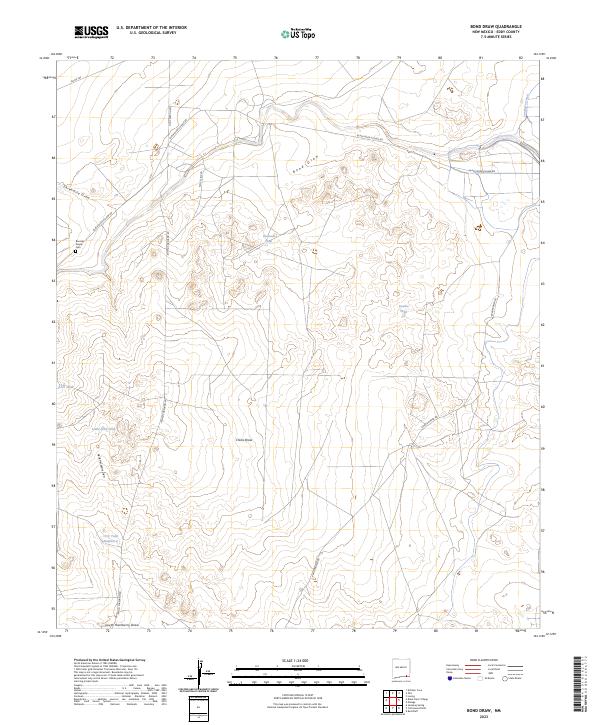
2023 Bond Draw
Eddy County, NM
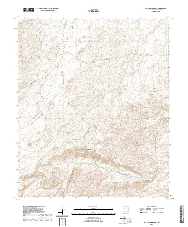
2023 Box Canyon Ranch
Eddy County, NM
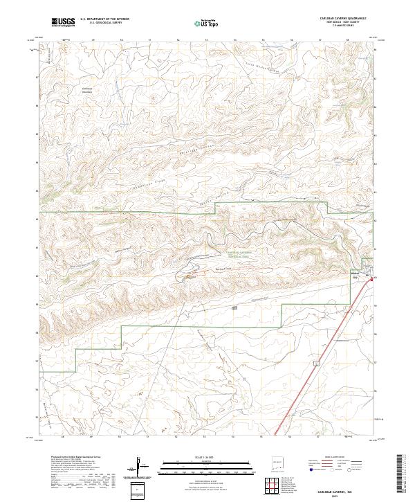
2023 Carlsbad Caverns
Eddy County, NM
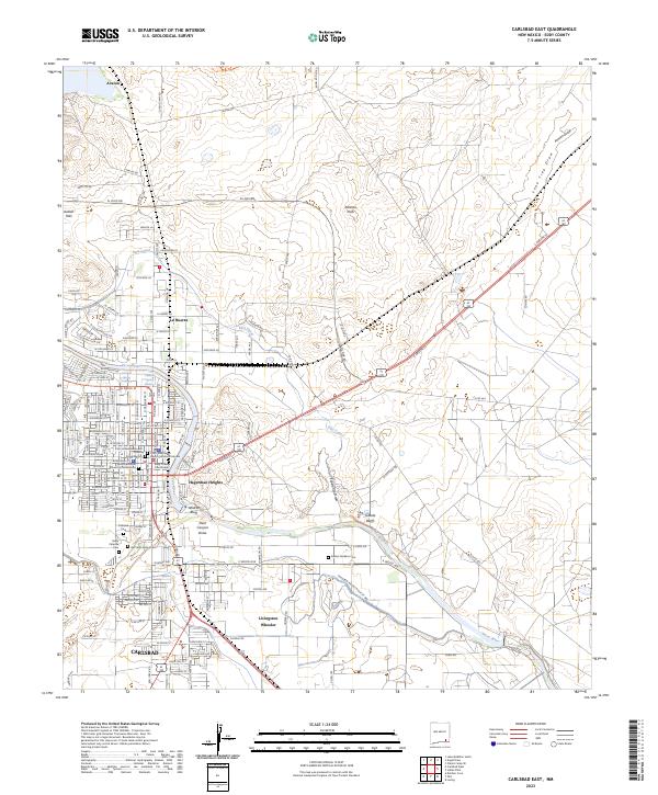
2023 Carlsbad East
Eddy County, NM
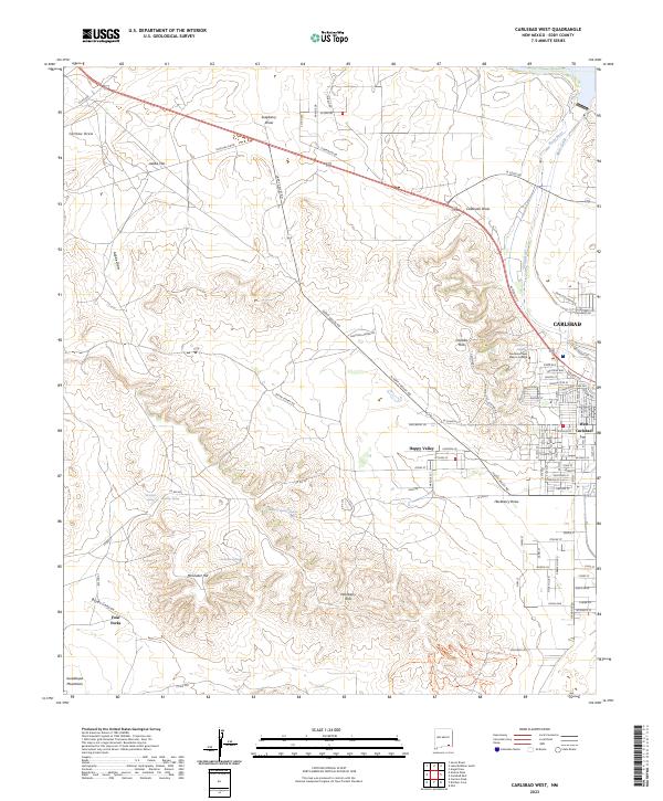
2023 Carlsbad West
Eddy County, NM
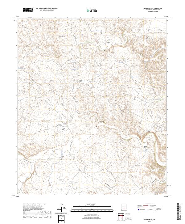
2023 Carnero Peak
Eddy County, NM
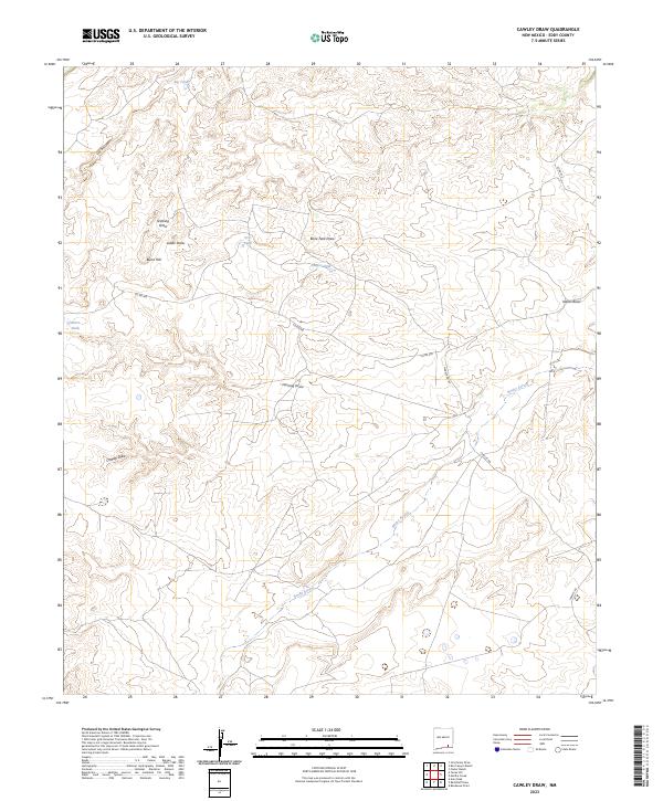
2023 Cawley Draw
Eddy County, NM
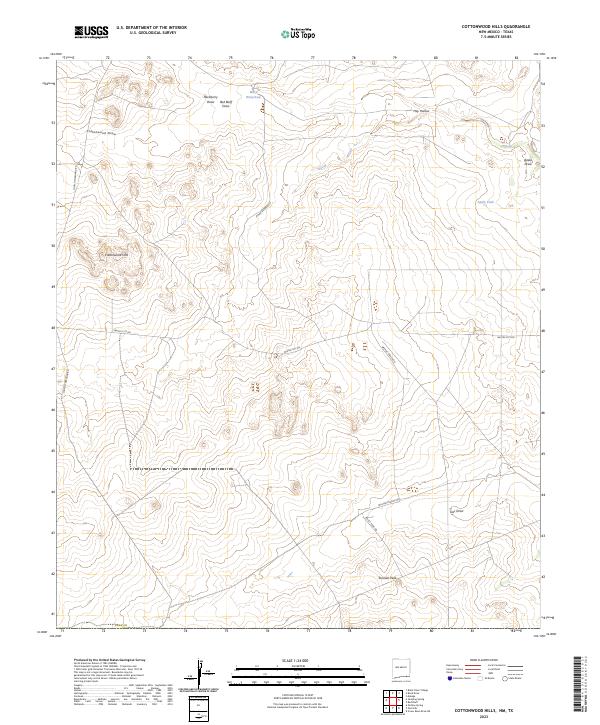
2023 Cottonwood Hills
Eddy County, NM
2023 Dayton
Eddy County, NM
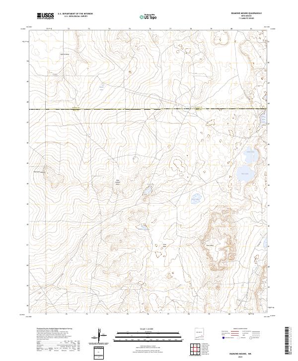
2023 Diamond Mound
Eddy County, NM
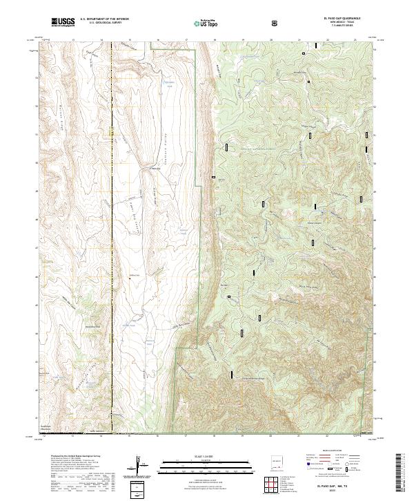
2023 El Paso Gap
Eddy County, NM
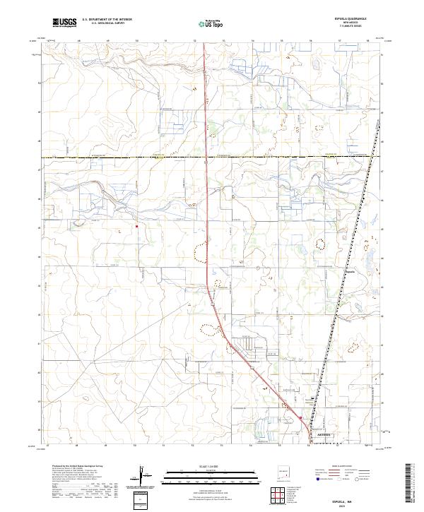
2023 Espuela
Eddy County, NM
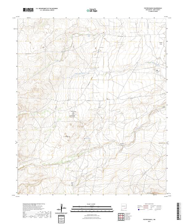
2023 Foster Ranch
Eddy County, NM
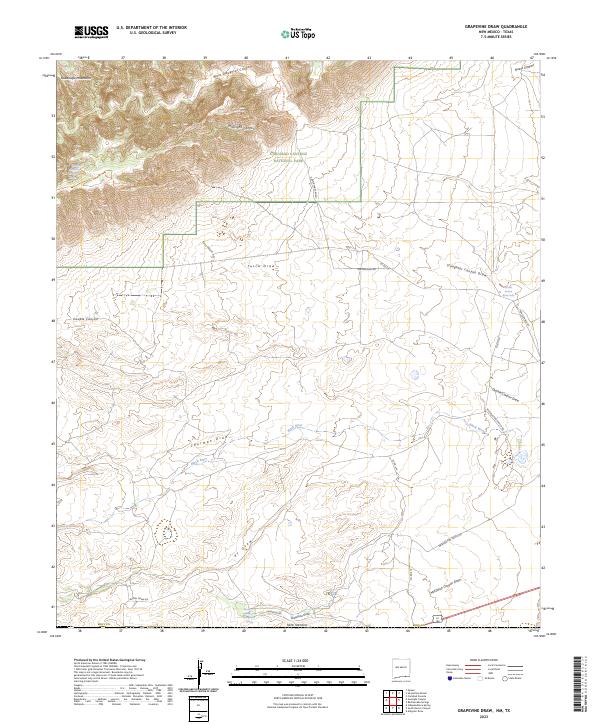
2023 Grapevine Draw
Eddy County, NM
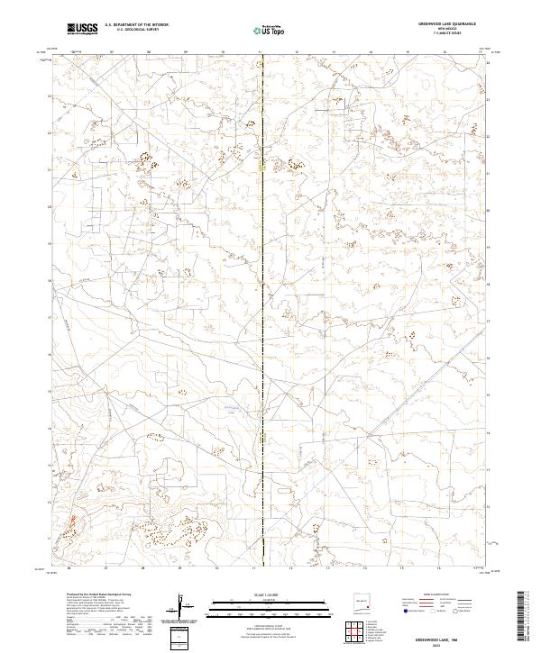
2023 Greenwood Lake
Eddy County, NM
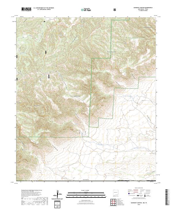
2023 Gunsight Canyon
Eddy County, NM
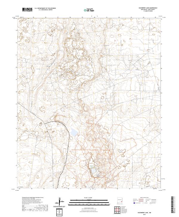
2023 Hackberry Lake
Eddy County, NM
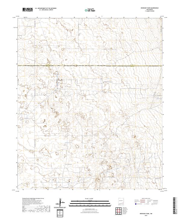
2023 Henshaw Tank
Eddy County, NM
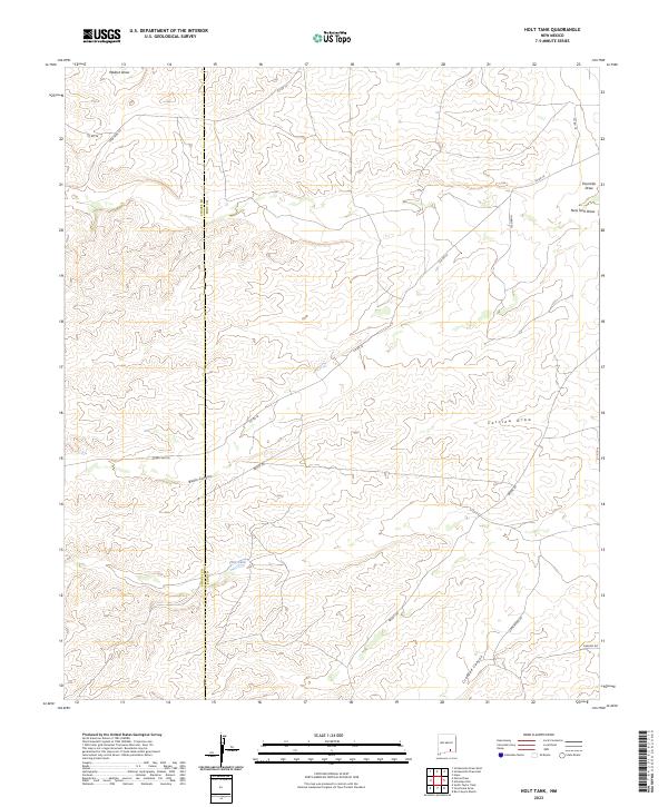
2023 Holt Tank
Eddy County, NM
2023 Hope NE
Eddy County, NM
2023 Hope NW
Eddy County, NM
2023 Hope SE
Eddy County, NM
2023 Illinois Camp
Eddy County, NM
2023 Illinois Camp NE
Eddy County, NM
2023 Illinois Camp SE
Eddy County, NM
2023 Indian Flats
Eddy County, NM
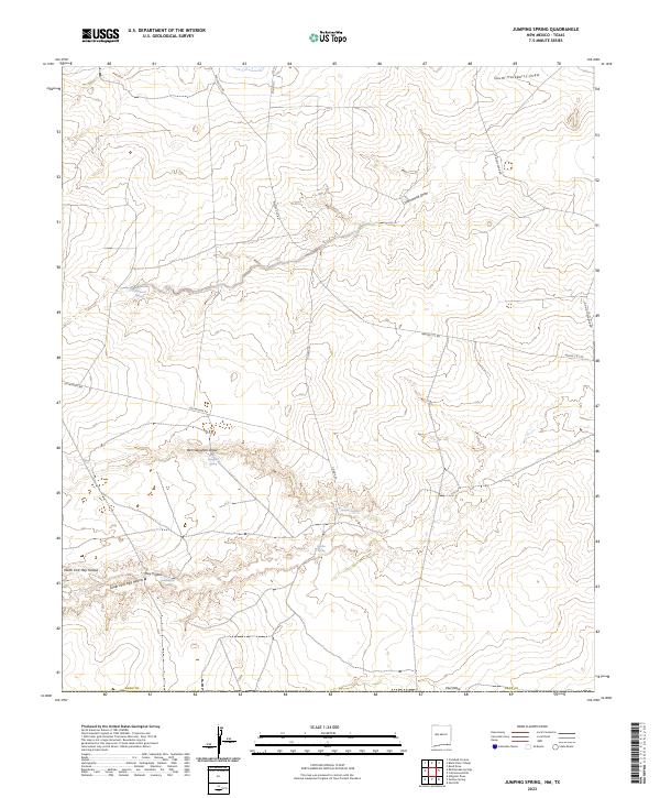
2023 Jumping Spring
Eddy County, NM
2023 Kitchen Cove
Eddy County, NM
2023 Lake McMillan North
Eddy County, NM
2023 Lake McMillan South
Eddy County, NM
2023 Livingston Ridge
Eddy County, NM
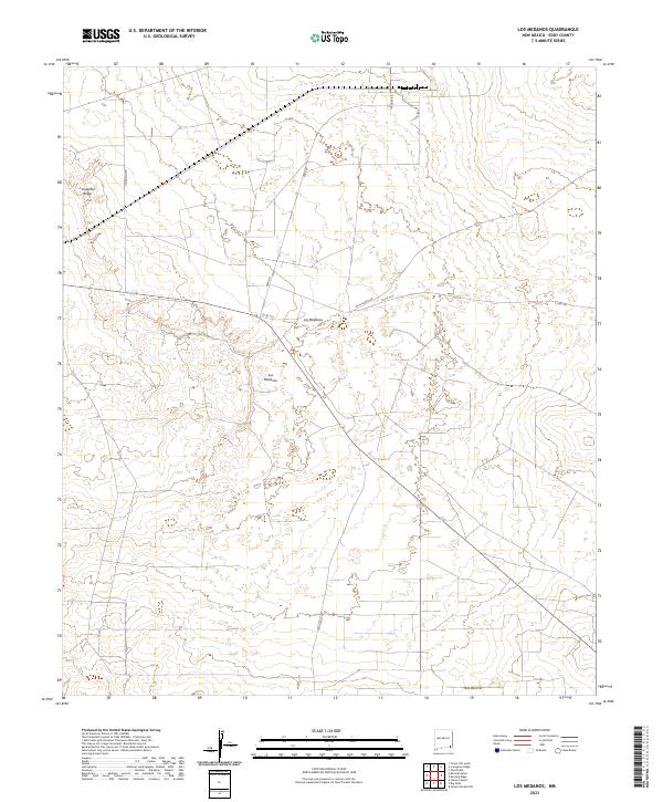
2023 Los Medanos
Eddy County, NM
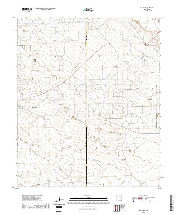
2023 Maljamar
Eddy County, NM
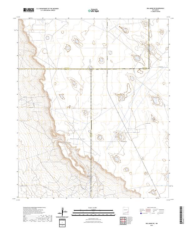
2023 Maljamar NE
Eddy County, NM
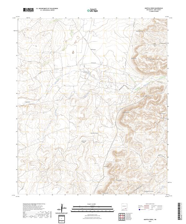
2023 Martha Creek
Eddy County, NM
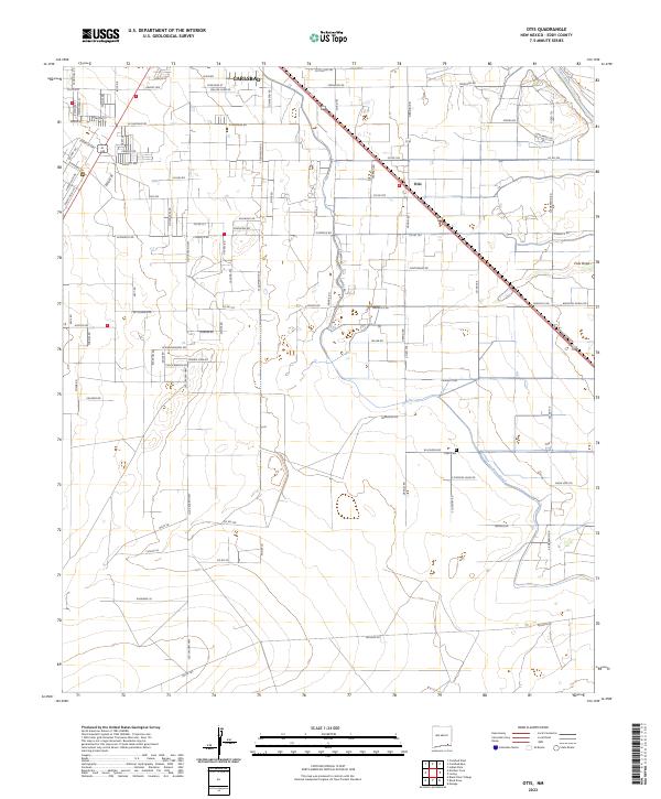
2023 Otis
Eddy County, NM
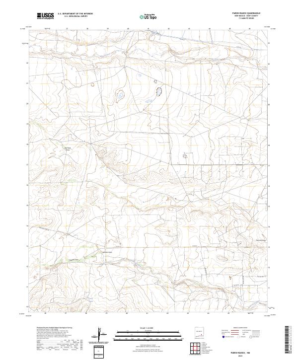
2023 Parish Ranch
Eddy County, NM
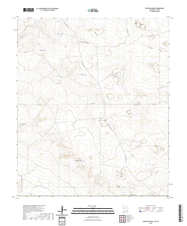
2023 Phantom Banks
Eddy County, NM
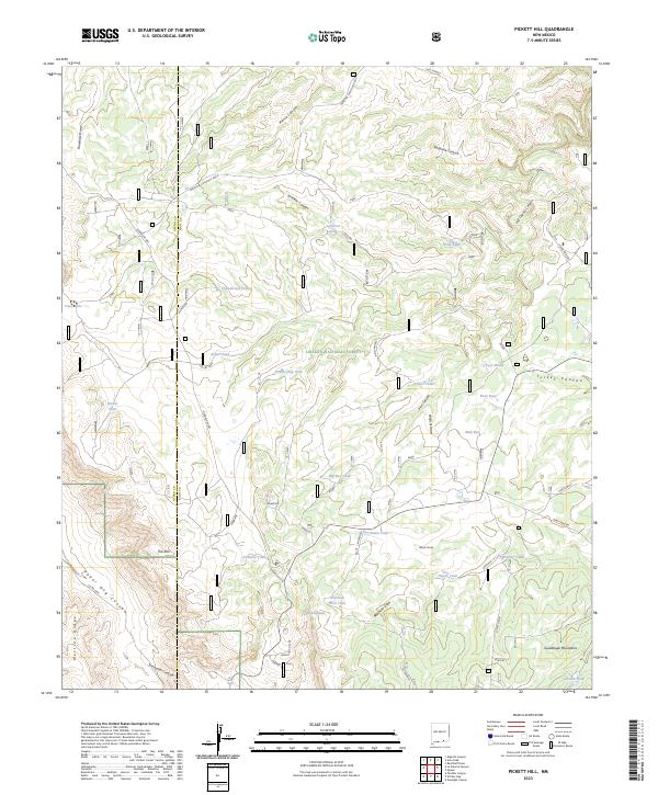
2023 Pickett Hill
Eddy County, NM
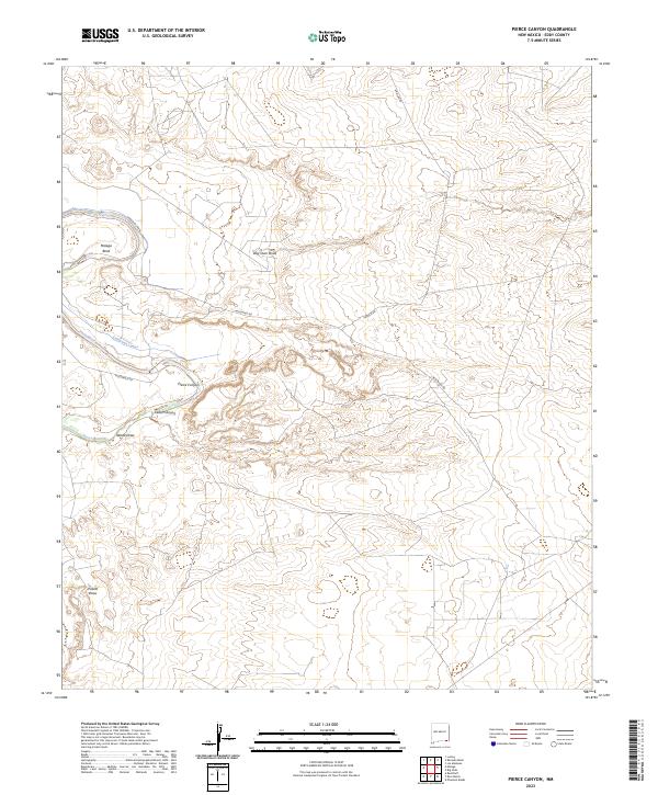
2023 Pierce Canyon
Eddy County, NM
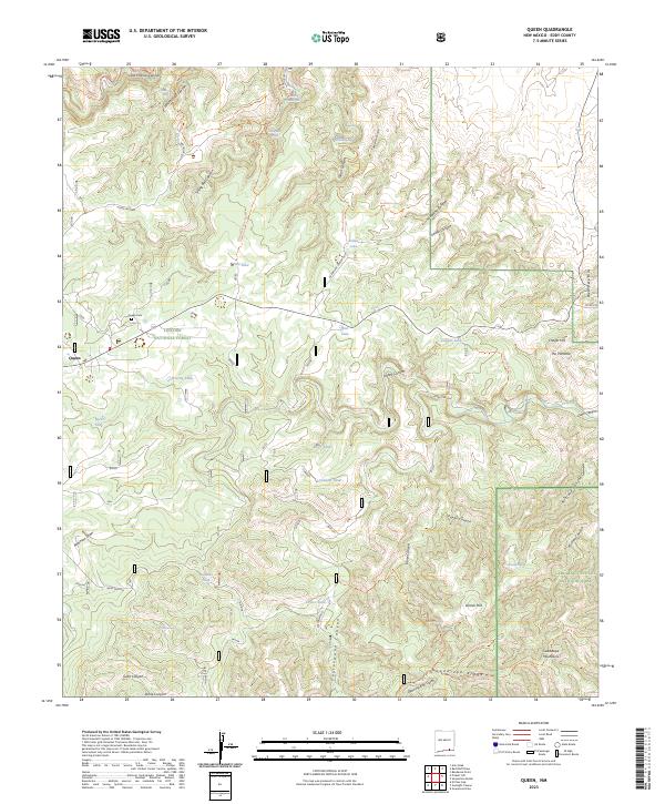
2023 Queen
Eddy County, NM
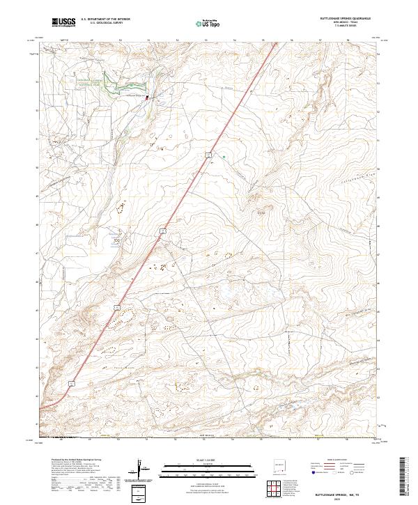
2023 Rattlesnake Springs
Eddy County, NM
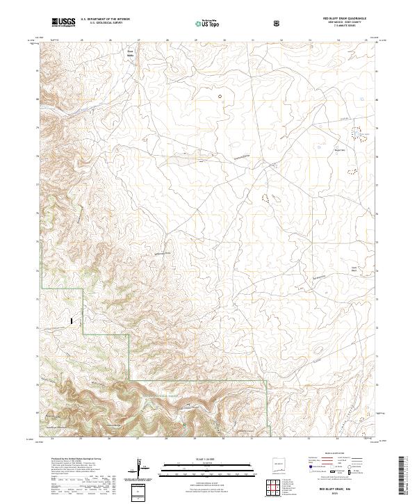
2023 Red Bluff Draw
Eddy County, NM
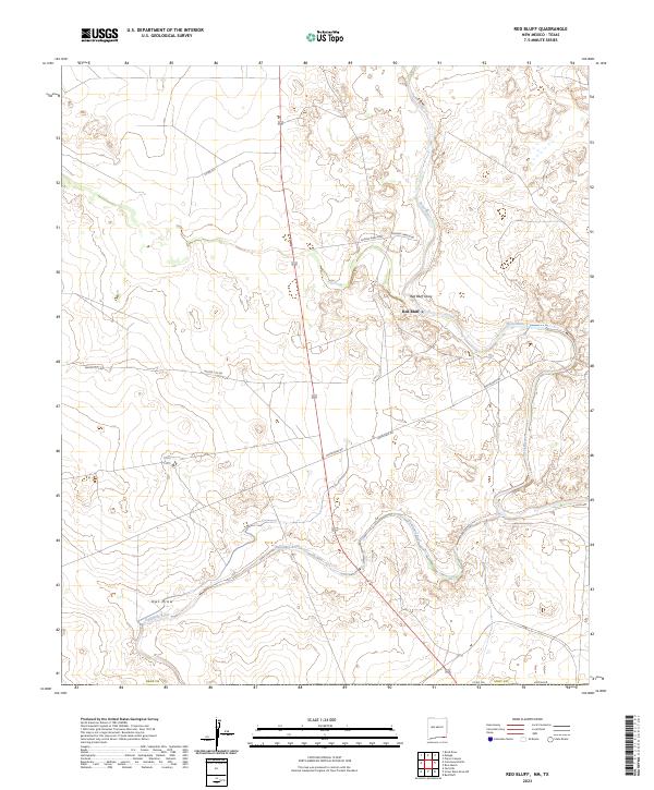
2023 Red Bluff
Eddy County, NM
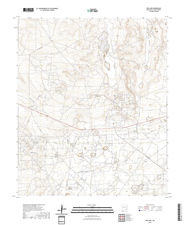
2023 Red Lake
Eddy County, NM
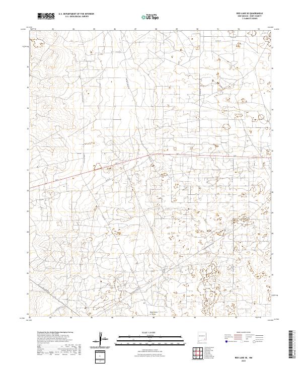
2023 Red Lake SE
Eddy County, NM
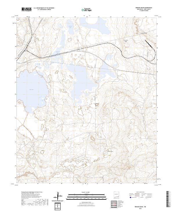
2023 Remuda Basin
Eddy County, NM
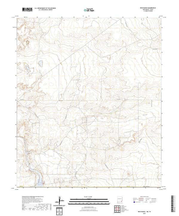
2023 Ross Ranch
Eddy County, NM
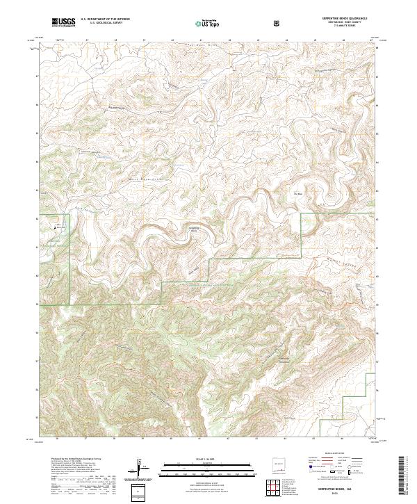
2023 Serpentine Bends
Eddy County, NM
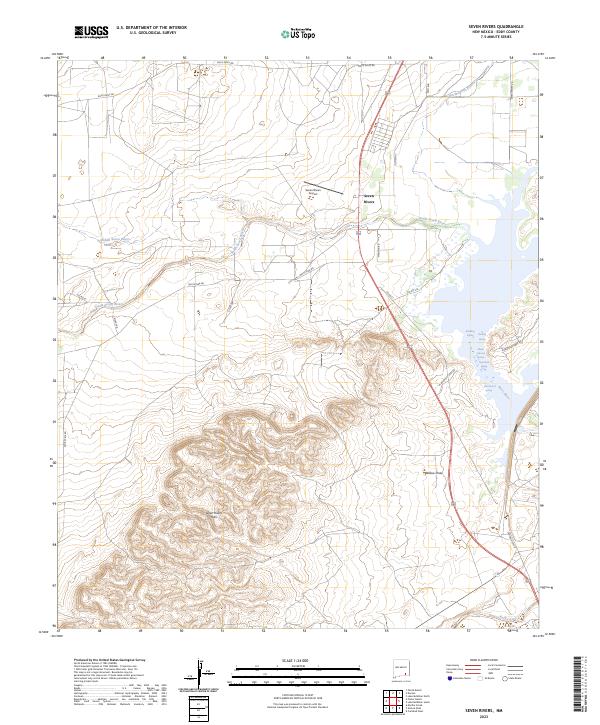
2023 Seven Rivers
Eddy County, NM
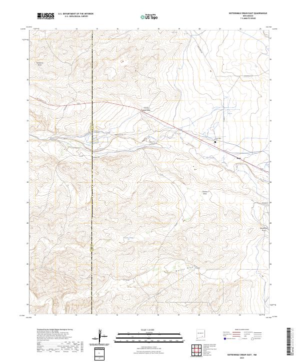
2023 Sixteenmile Draw East
Eddy County, NM
2023 Spring Lake
Eddy County, NM
2023 Strychnine Draw
Eddy County, NM
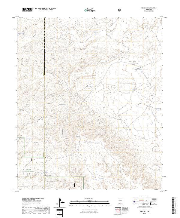
2023 Texas Hill
Eddy County, NM
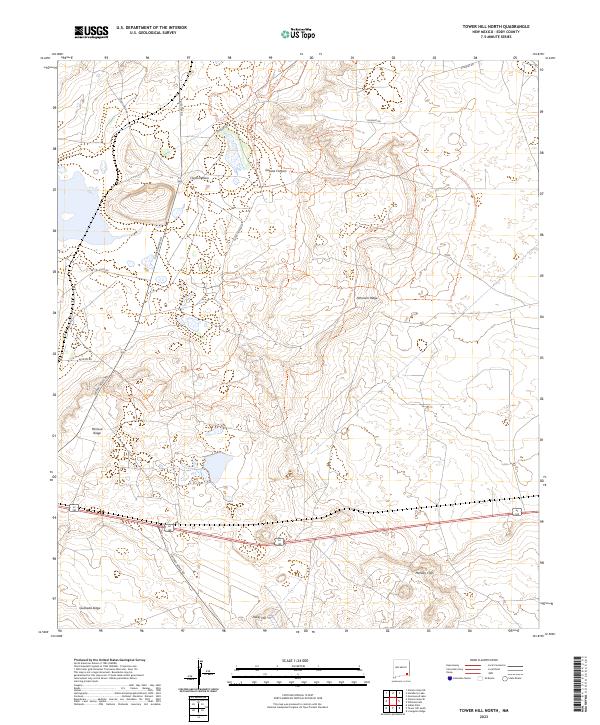
2023 Tower Hill North
Eddy County, NM
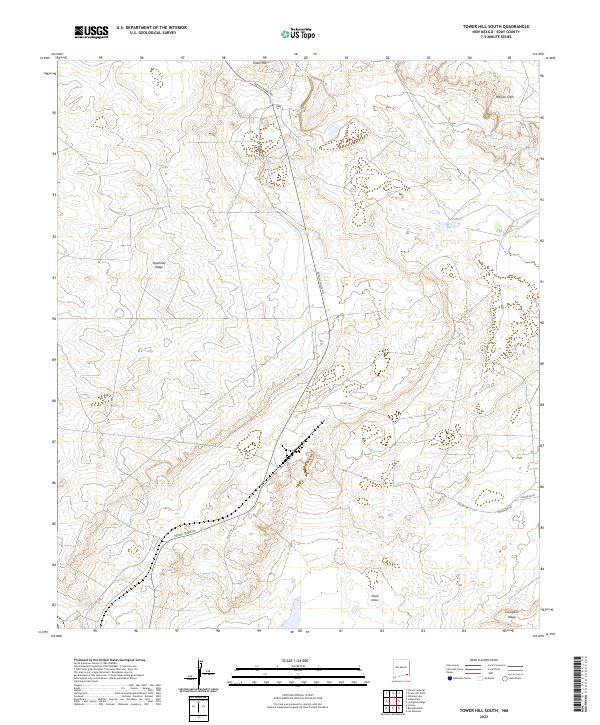
2023 Tower Hill South
Eddy County, NM
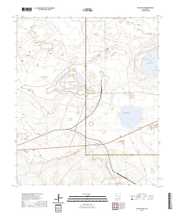
2023 Williams Sink
Eddy County, NM