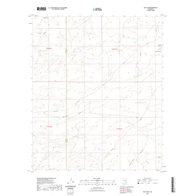
2023 Map of Holt Tank
USGS Topo · Published 2023About this map
Holt Tank serves as a central landmark in this high-desert landscape situated along the border of Chaves and Eddy counties. The terrain is defined by an intricate network of drainage systems, including Bullis Canyon, Walnut Draw, and the winding Crooked Canyon. These natural features dictate the path of local ranch roads and trails that traverse the sections of T18S and T19S. A sparse but functional transportation network, consisting of routes like Russel Gap Rd and Bronc Rd, provides access across the arid plains and through the gaps. The distribution of these water features and access roads suggests a landscape shaped by livestock management and the fundamental search for water in the New Mexico interior, captured here in its contemporary state.
Find a feature on this map
21 named features on this map. Tap any name to fly to it.
Don’t see what you’re looking for? This feature index may not catch every label — zoom into the map to look around manually.
Map Details
Editions of this 2023 Holt Tank Map
This is the sole edition of this map. No revisions or reprints were ever made.
Other maps of this area

1954 · Carlsbad
USGS Topo · 1:250,000

1955 · Hope
USGS Topo · 1:24,000

1956 · Hope
USGS Topo · 1:24,000

1956 · Antelope Sink
USGS Topo · 1:24,000

1957 · Box Canyon Ranch
USGS Topo · 1:24,000

1958 · Carlsbad
USGS Topo · 1:250,000

1960 · Teel Ranch
USGS Topo · 1:62,500

1978 · Strychnine Draw
USGS Topo · 1:24,000

1978 · Encino Draw
USGS Topo · 1:24,000

1978 · Artesia
USGS Topo · 1:100,000