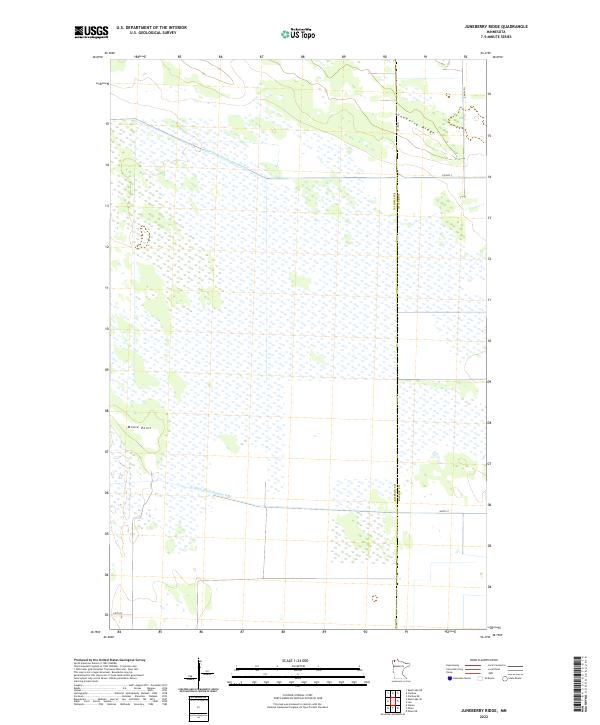
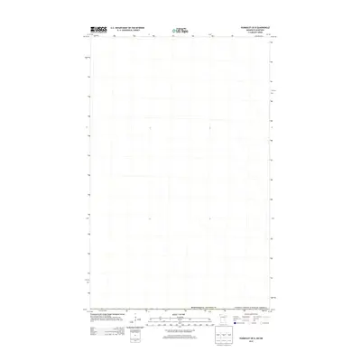
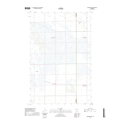
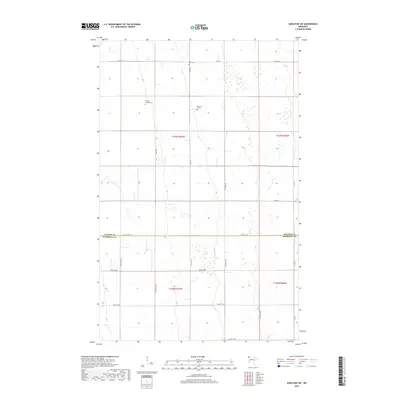
2022 Map of Juneberry Ridge
USGS Topo · Published 2022About this map
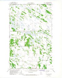
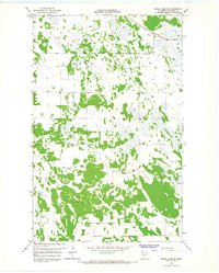
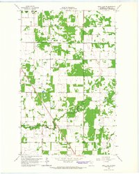
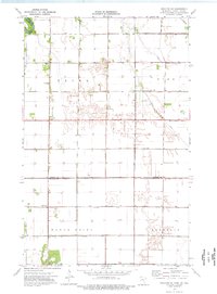
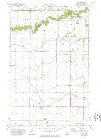
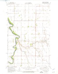
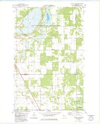
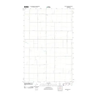
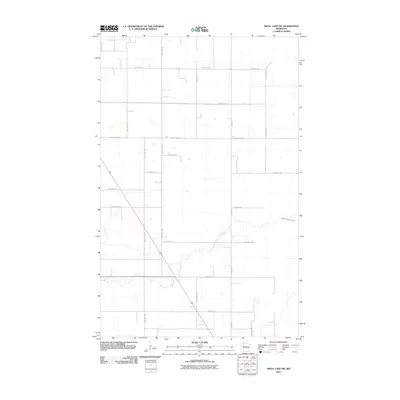
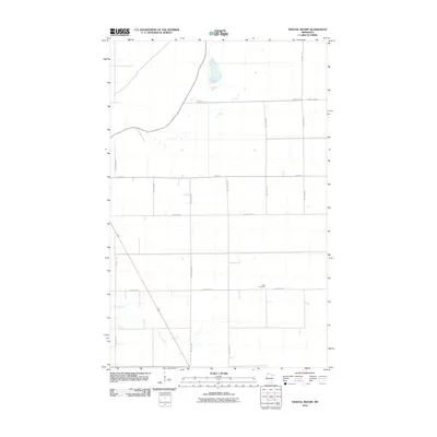
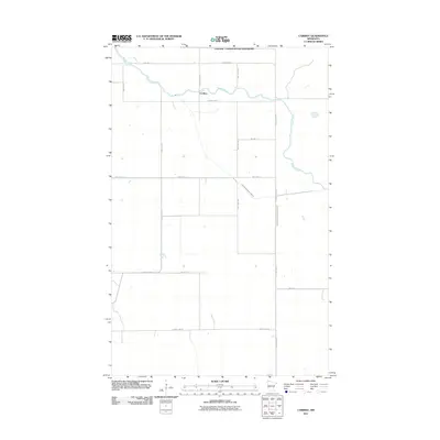
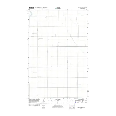
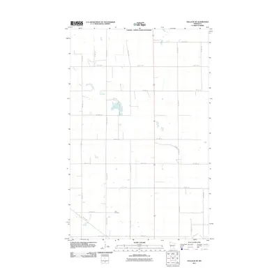
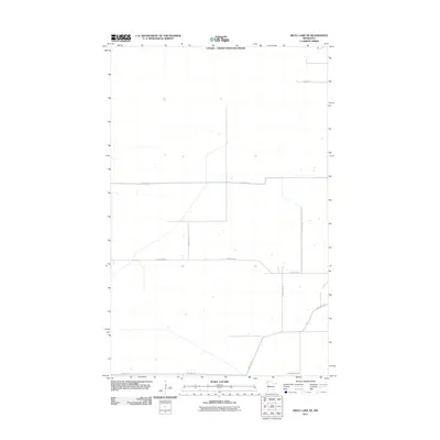
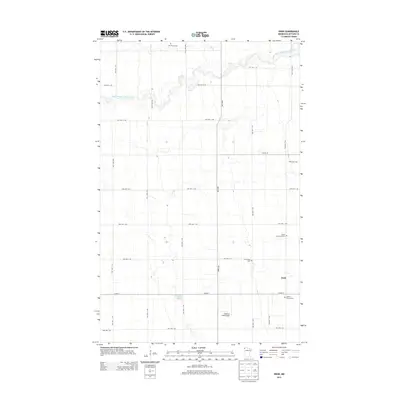
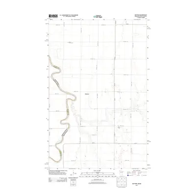
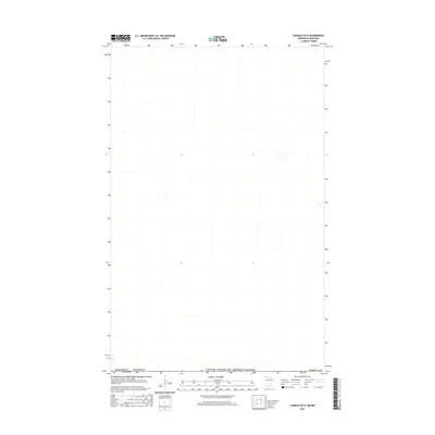
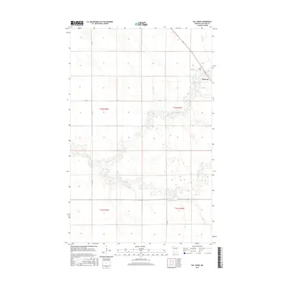
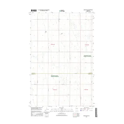
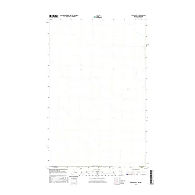
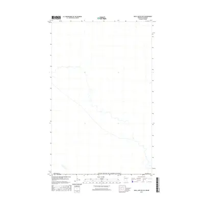
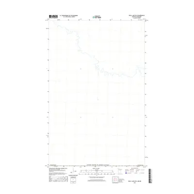
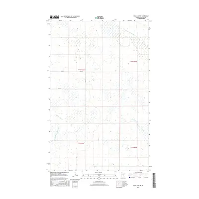
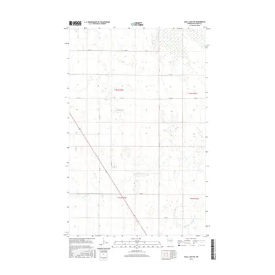
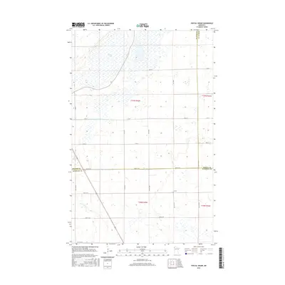
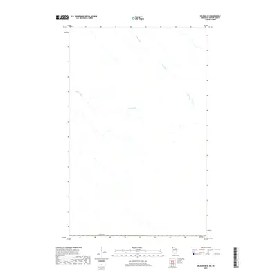
Juneberry Ridge and the surrounding marshy expanse of the Kittson and Roseau county line define this northwestern Minnesota landscape. The area is dominated by extensive wetland complexes, marked by the engineered straightness of State Ditch Number Seventy-two and State Ditch Number Fifty, which reflect long-standing efforts to manage the low-lying terrain of the Red River Valley fringe. Moose Point stands out as a distinct topographic feature amidst the saturation, anchoring the western portion of the sheet.
Find a feature on this map
14 named features on this map. Tap any name to fly to it.
Don’t see what you’re looking for? This feature index may not catch every label — zoom into the map to look around manually.
Map Details
Editions of this 2022 Juneberry Ridge Map
This is the sole edition of this map. No revisions or reprints were ever made.
Historical Maps of Roseau County Through Time
116 maps found
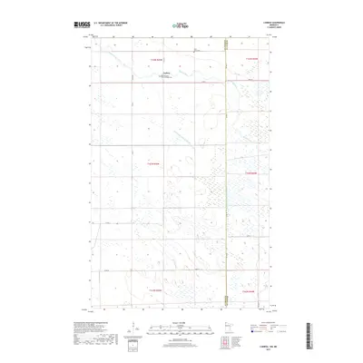
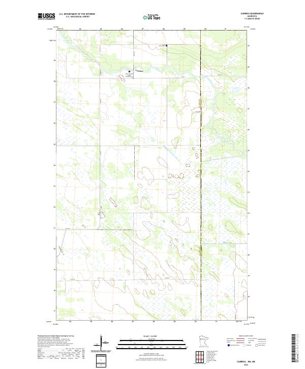
1966 Caribou
Kittson County, MN
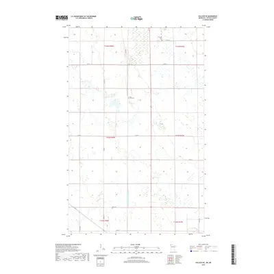
1966 Juneberry Ridge
Kittson County, MN
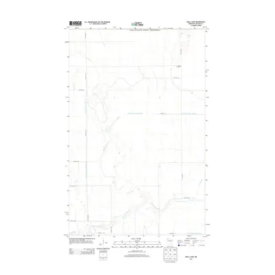
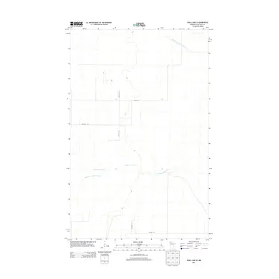
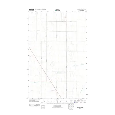
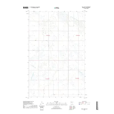
1966 Skull Lake
Kittson County, MN
1966 Skull Lake NE
Kittson County, MN
1966 Skull Lake SE
Kittson County, MN
1966 Skull Lake SW
Kittson County, MN
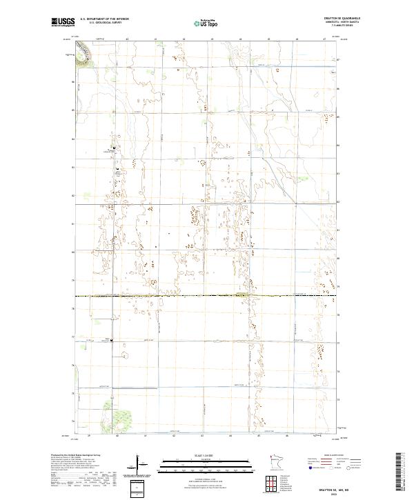
1974 Drayton SE
Kittson County, MN
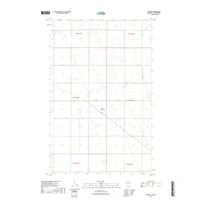
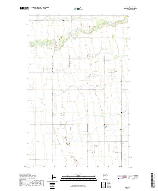
1974 Enok
Kittson County, MN
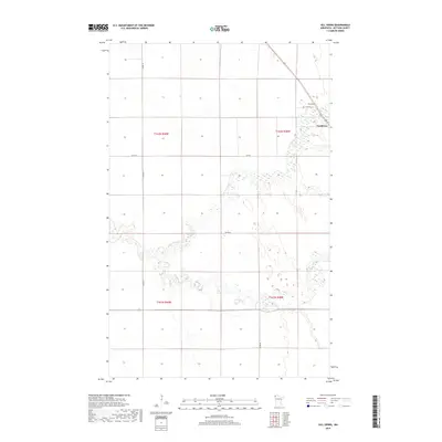
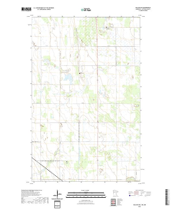
1974 Hallock NE
Kittson County, MN
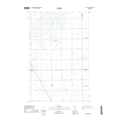
1974 Hill Siding
Kittson County, MN
1974 Kennedy SE
Kittson County, MN
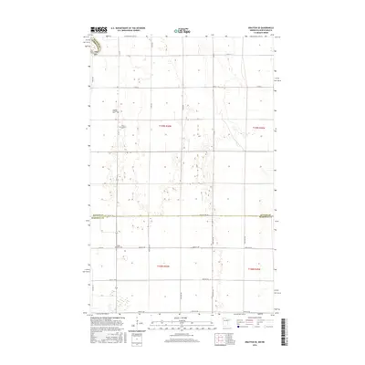
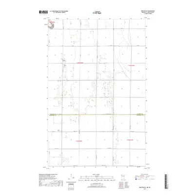
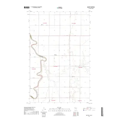
1974 Mattson
Kittson County, MN
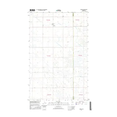
1974 Orleans
Kittson County, MN
1982 Karlstad SW
Kittson County, MN
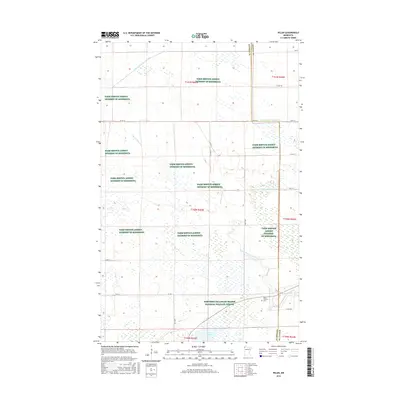
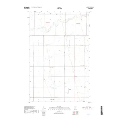
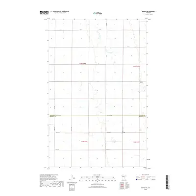
1982 Pelan
Kittson County, MN
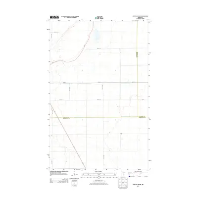
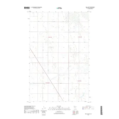
1982 Twistal Swamp
Kittson County, MN
2010 Enok
Kittson County, MN
2010 Hill Siding
Kittson County, MN
2010 Juneberry Ridge
Kittson County, MN
2010 Karlstad SW
Kittson County, MN
2010 Kennedy SE
Kittson County, MN
2010 Pelan
Kittson County, MN
2010 Skull Lake SE
Kittson County, MN
2010 Skull Lake SW
Kittson County, MN
2010 Twistal Swamp
Kittson County, MN
2011 Caribou
Kittson County, MN
2011 Drayton SE
Kittson County, MN
2011 Hallock NE
Kittson County, MN
2011 Mattson
Kittson County, MN
2011 Orleans
Kittson County, MN
2011 Skull Lake
Kittson County, MN
2011 Skull Lake NE
Kittson County, MN
2013 Caribou
Kittson County, MN
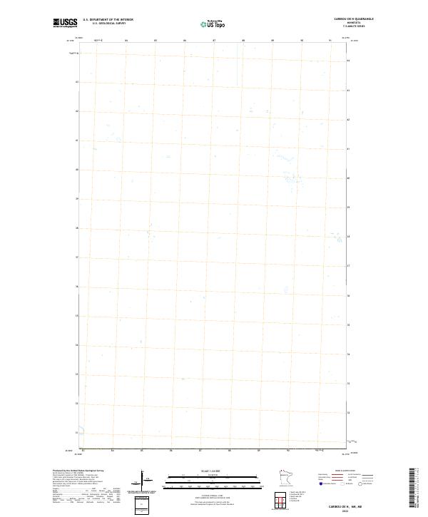
2013 Caribou OE N
Kittson County, MN
2013 Drayton SE
Kittson County, MN
2013 Enok
Kittson County, MN
2013 Hallock NE
Kittson County, MN
2013 Hallock NE OE N
Kittson County, MN
2013 Hill Siding
Kittson County, MN
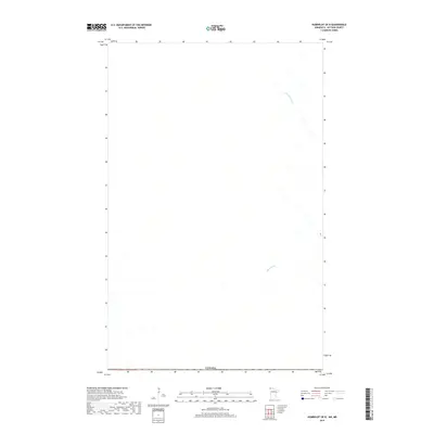
2013 Humboldt OE N
Kittson County, MN
2013 Juneberry Ridge
Kittson County, MN
2013 Karlstad SW
Kittson County, MN
2013 Kennedy SE
Kittson County, MN
2013 Mattson
Kittson County, MN
2013 Orleans
Kittson County, MN
2013 Orleans OE N
Kittson County, MN
2013 Pelan
Kittson County, MN
2013 Skull Lake
Kittson County, MN
2013 Skull Lake NE
Kittson County, MN
2013 Skull Lake NE OE N
Kittson County, MN
2013 Skull Lake OE N
Kittson County, MN
2013 Skull Lake SE
Kittson County, MN
2013 Skull Lake SW
Kittson County, MN
2013 Twistal Swamp
Kittson County, MN
2016 Caribou
Kittson County, MN
2016 Caribou OE N
Kittson County, MN
2016 Drayton SE
Kittson County, MN
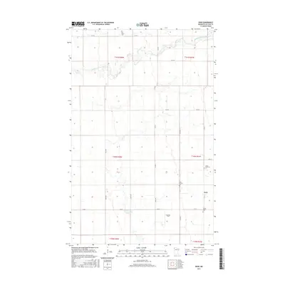
2016 Enok
Kittson County, MN
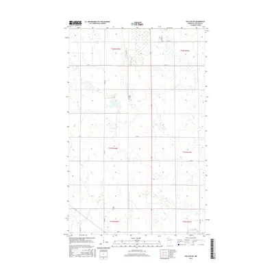
2016 Hallock NE
Kittson County, MN
2016 Hallock NE OE N
Kittson County, MN
2016 Hill Siding
Kittson County, MN
2016 Humboldt OE N
Kittson County, MN
2016 Juneberry Ridge
Kittson County, MN
2016 Karlstad SW
Kittson County, MN
2016 Kennedy SE
Kittson County, MN
2016 Mattson
Kittson County, MN
2016 Orleans
Kittson County, MN
2016 Orleans OE N
Kittson County, MN
2016 Pelan
Kittson County, MN
2016 Skull Lake
Kittson County, MN
2016 Skull Lake NE
Kittson County, MN
2016 Skull Lake NE OE N
Kittson County, MN
2016 Skull Lake OE N
Kittson County, MN
2016 Skull Lake SE
Kittson County, MN
2016 Skull Lake SW
Kittson County, MN
2016 Twistal Swamp
Kittson County, MN
2019 Caribou
Kittson County, MN
2019 Drayton SE
Kittson County, MN
2019 Enok
Kittson County, MN
2019 Hallock NE
Kittson County, MN
2019 Hill Siding
Kittson County, MN
2019 Humboldt OE N
Kittson County, MN
2019 Juneberry Ridge
Kittson County, MN
2019 Karlstad SW
Kittson County, MN
2019 Kennedy SE
Kittson County, MN
2019 Mattson
Kittson County, MN
2019 Orleans
Kittson County, MN
2019 Orleans OE N
Kittson County, MN
2019 Pelan
Kittson County, MN
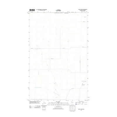
2019 Skull Lake
Kittson County, MN
2019 Skull Lake NE
Kittson County, MN
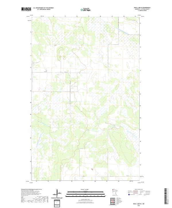
2019 Skull Lake SE
Kittson County, MN
2019 Skull Lake SW
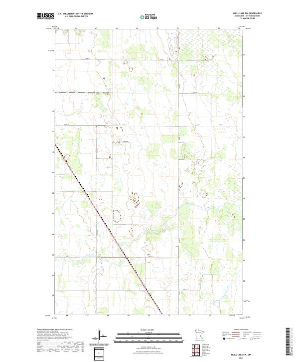
Kittson County, MN
2019 Twistal Swamp
Kittson County, MN
2022 Caribou
Kittson County, MN
2022 Caribou OE N
Kittson County, MN
2022 Drayton SE
Kittson County, MN
2022 Enok
Kittson County, MN
2022 Hallock NE
Kittson County, MN
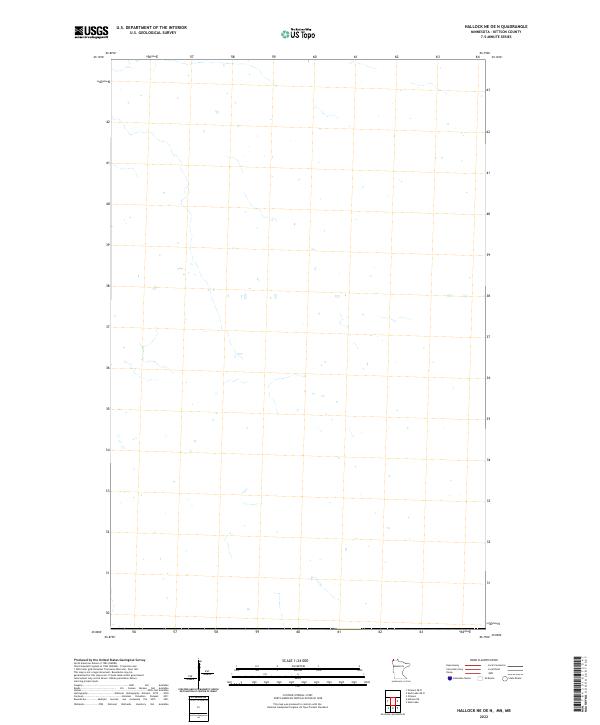
2022 Hallock NE OE N
Kittson County, MN
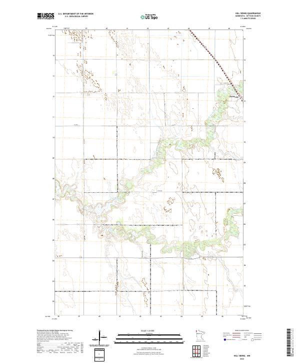
2022 Hill Siding
Kittson County, MN
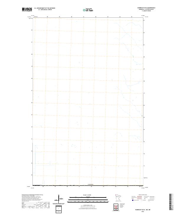
2022 Humboldt OE N
Kittson County, MN
2022 Juneberry Ridge
Kittson County, MN
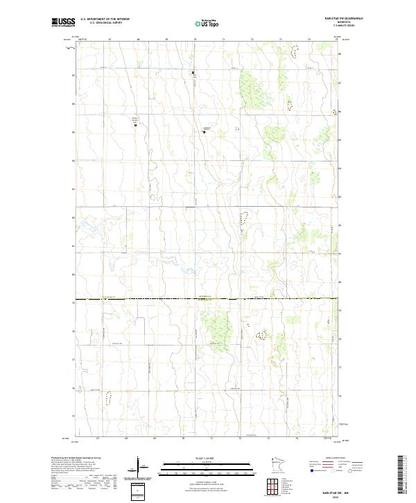
2022 Karlstad SW
Kittson County, MN
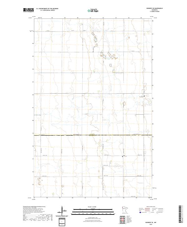
2022 Kennedy SE
Kittson County, MN
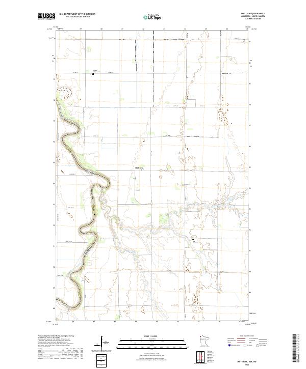
2022 Mattson
Kittson County, MN
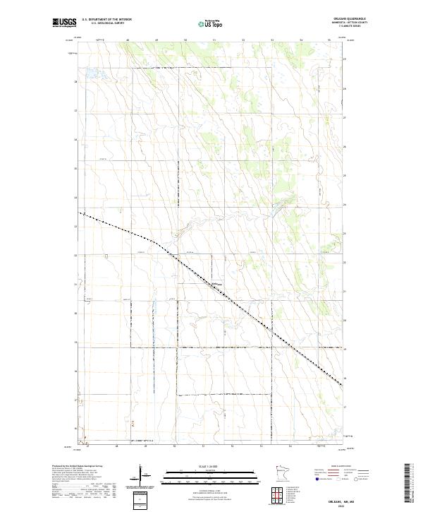
2022 Orleans
Kittson County, MN
2022 Orleans OE N
Kittson County, MN
2022 Pelan
Kittson County, MN

2022 Skull Lake
Kittson County, MN
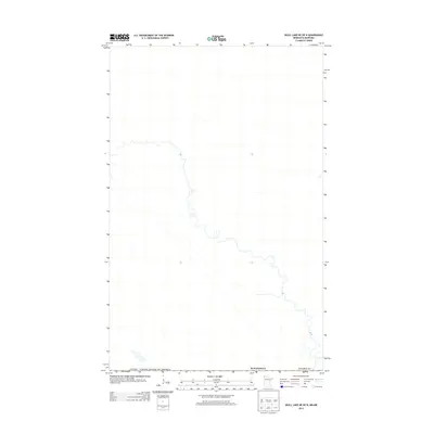
2022 Skull Lake NE
Kittson County, MN
2022 Skull Lake NE OE N
Kittson County, MN
2022 Skull Lake OE N
Kittson County, MN
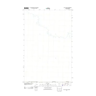
2022 Skull Lake SE
Kittson County, MN
2022 Skull Lake SW
Kittson County, MN

2022 Twistal Swamp
Kittson County, MN