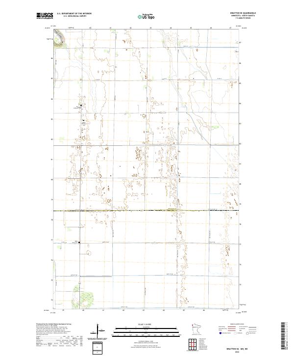
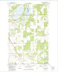
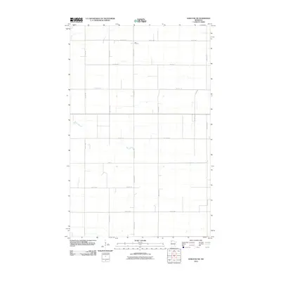
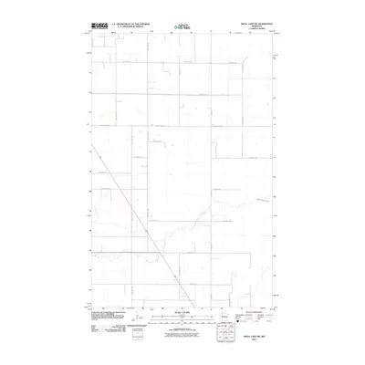
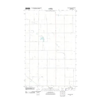
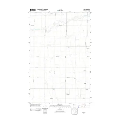
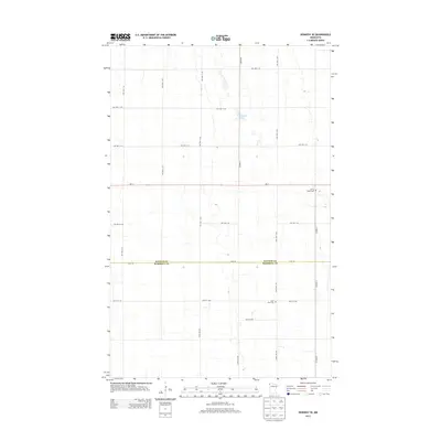
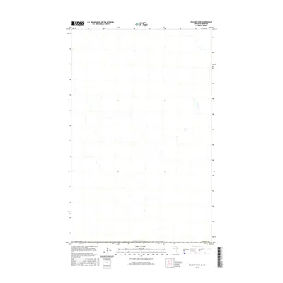
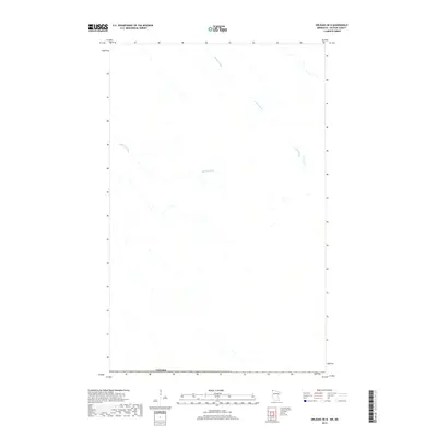
2022 Map of Drayton SE
USGS Topo · Published 2022About this map
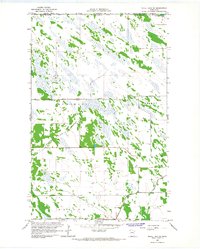
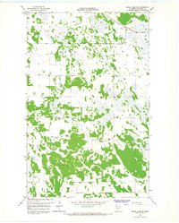
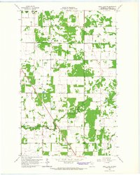
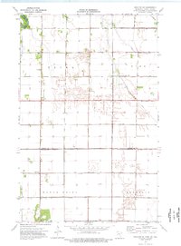
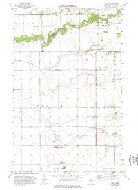
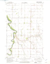
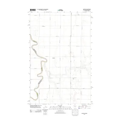
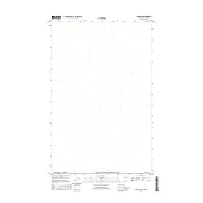
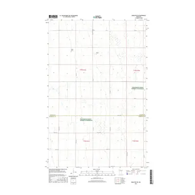
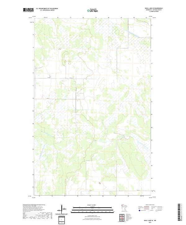
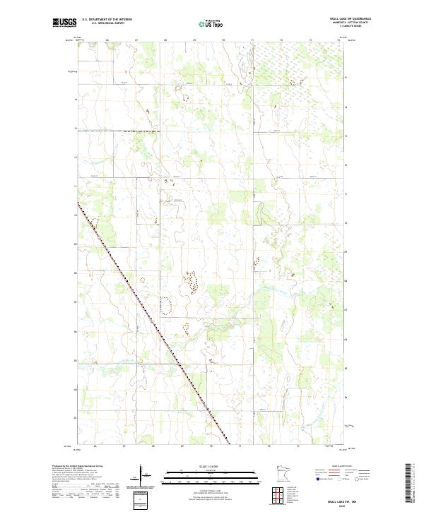
The Kittson County and Marshall County border area in far northwest Minnesota reveals a landscape defined by the Public Land Survey System and a vast network of section-line roads. This survey of the Drayton SE quadrangle captures the rural character of the region, where the primary landmarks are established burial grounds serving the surrounding farming communities. Genealogical interest centers on Skjeberg Lutheran Cem, Telen Covenant Cem, and Eagle Point Cem, which serve as permanent records of the early Scandinavian and European settlers who claimed these homesteads. The terrain is notably flat, crossed by essential transit corridors like Co St Aid Hwy 18 and Co Hwy 16. The map illustrates how drainage and transport intersect along the North Dakota border, reflecting the agricultural endurance of the Red River Valley.
Find a feature on this map
28 named features on this map. Tap any name to fly to it.
Don’t see what you’re looking for? This feature index may not catch every label — zoom into the map to look around manually.
Map Details
Editions of this 2022 Drayton SE Map
This is the sole edition of this map. No revisions or reprints were ever made.
Historical Maps of Pembina County Through Time
116 maps found
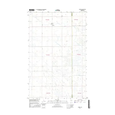
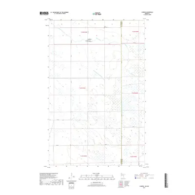
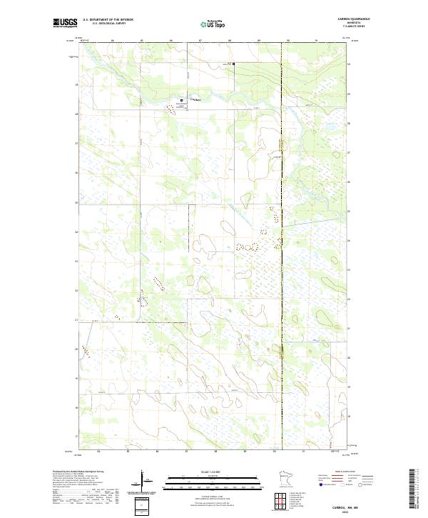
1966 Caribou
Kittson County, MN
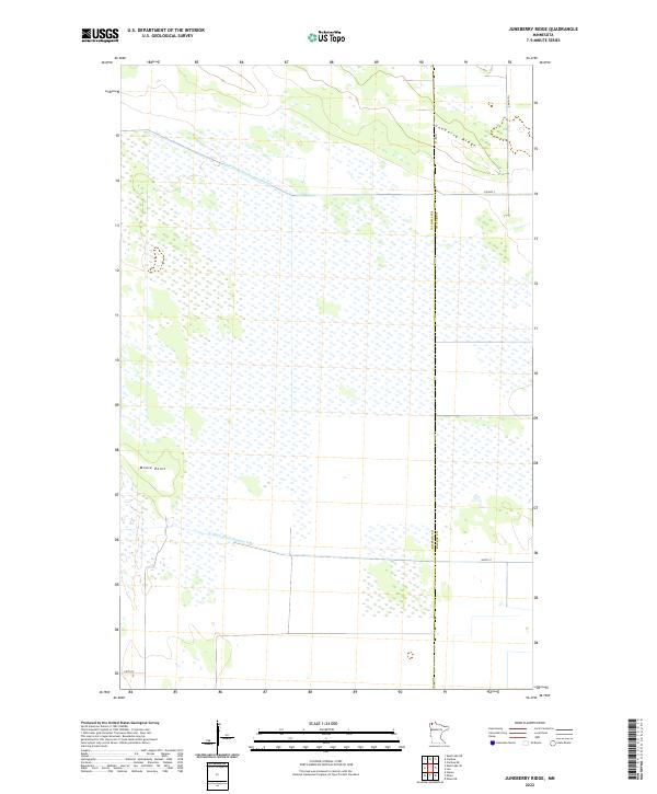
1966 Juneberry Ridge
Kittson County, MN
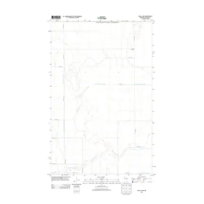
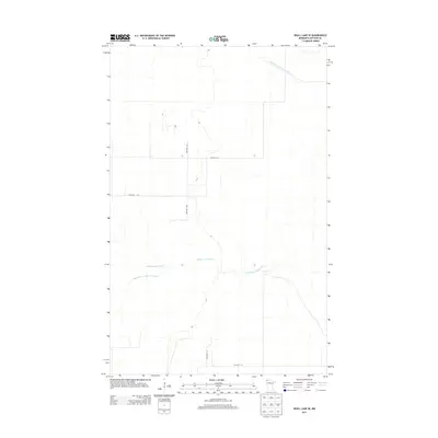
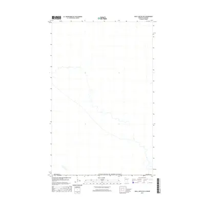
1966 Skull Lake
Kittson County, MN
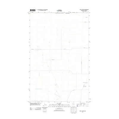
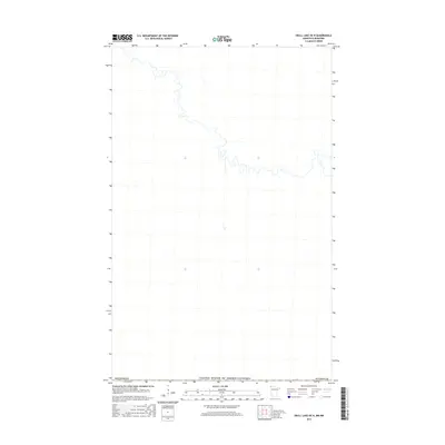
1966 Skull Lake NE
Kittson County, MN
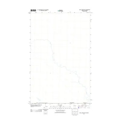
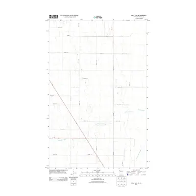
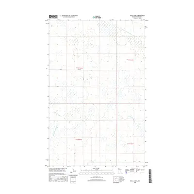
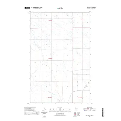
1966 Skull Lake SE
Kittson County, MN
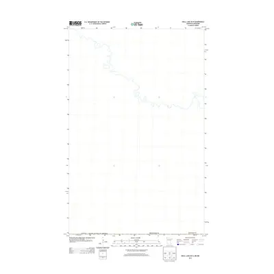
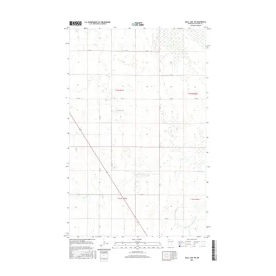
1966 Skull Lake SW
Kittson County, MN
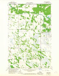
1974 Drayton SE
Kittson County, MN
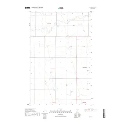
1974 Enok
Kittson County, MN
1974 Hallock NE
Kittson County, MN
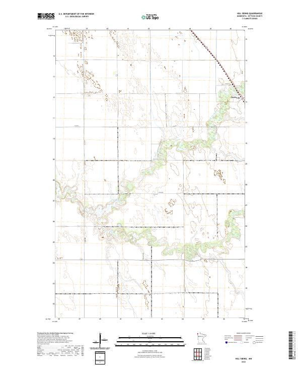
1974 Hill Siding
Kittson County, MN
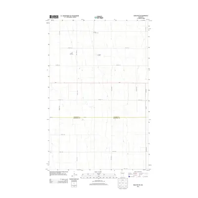
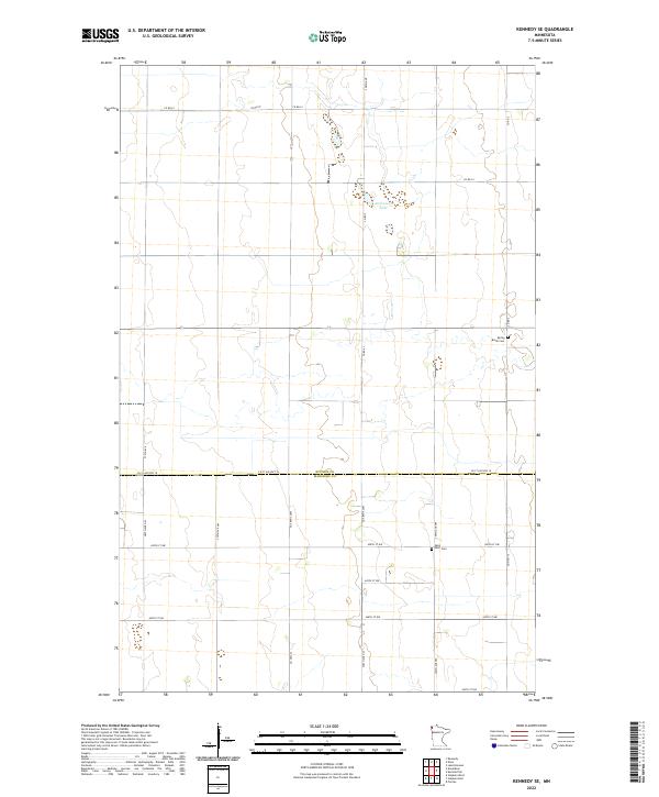
1974 Kennedy SE
Kittson County, MN
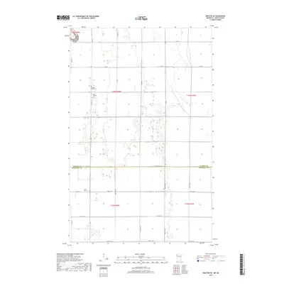
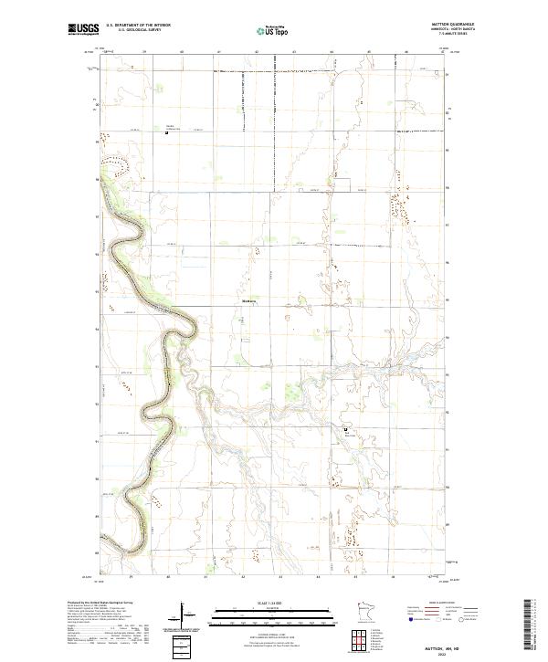
1974 Mattson
Kittson County, MN
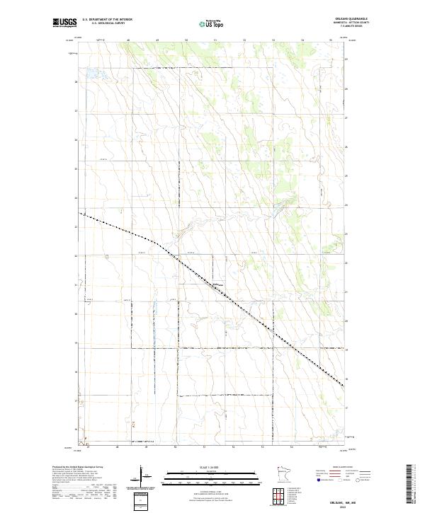
1974 Orleans
Kittson County, MN
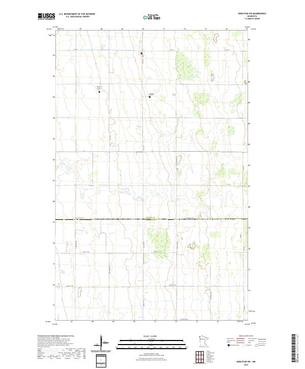
1982 Karlstad SW
Kittson County, MN
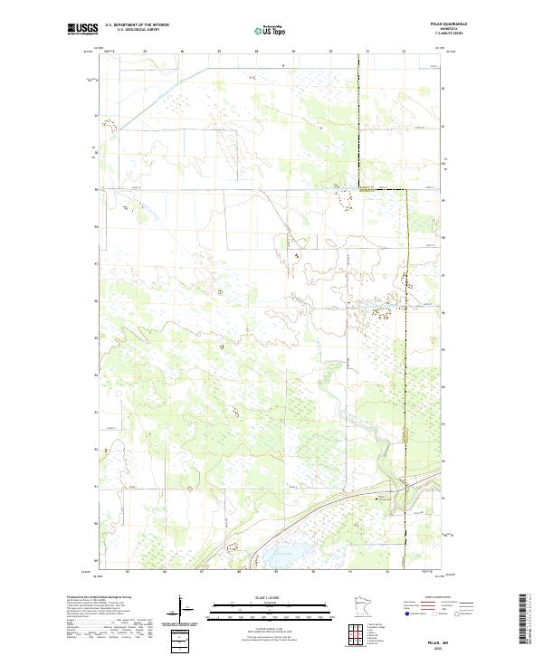
1982 Pelan
Kittson County, MN
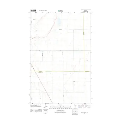
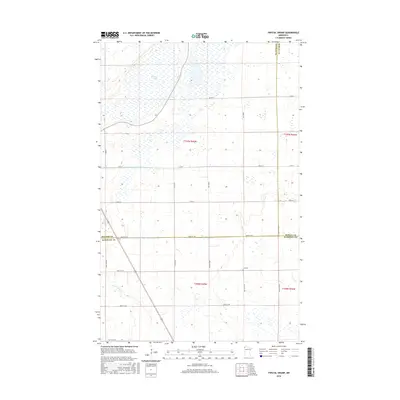
1982 Twistal Swamp
Kittson County, MN
2010 Enok
Kittson County, MN
2010 Hill Siding
Kittson County, MN
2010 Juneberry Ridge
Kittson County, MN
2010 Karlstad SW
Kittson County, MN
2010 Kennedy SE
Kittson County, MN
2010 Pelan
Kittson County, MN
2010 Skull Lake SE
Kittson County, MN
2010 Skull Lake SW
Kittson County, MN
2010 Twistal Swamp
Kittson County, MN
2011 Caribou
Kittson County, MN
2011 Drayton SE
Kittson County, MN
2011 Hallock NE
Kittson County, MN
2011 Mattson
Kittson County, MN
2011 Orleans
Kittson County, MN
2011 Skull Lake
Kittson County, MN
2011 Skull Lake NE
Kittson County, MN
2013 Caribou
Kittson County, MN
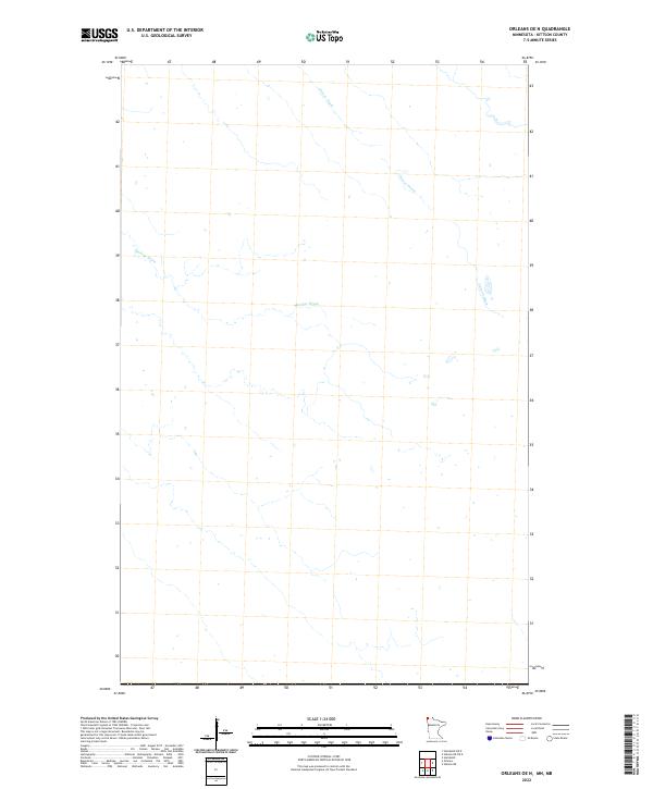
2013 Caribou OE N
Kittson County, MN
2013 Drayton SE
Kittson County, MN
2013 Enok
Kittson County, MN
2013 Hallock NE
Kittson County, MN
2013 Hallock NE OE N
Kittson County, MN
2013 Hill Siding
Kittson County, MN
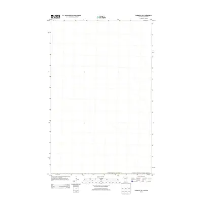
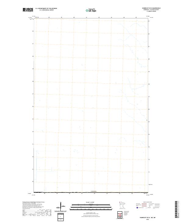
2013 Humboldt OE N
Kittson County, MN
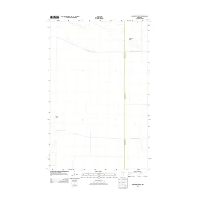
2013 Juneberry Ridge
Kittson County, MN
2013 Karlstad SW
Kittson County, MN
2013 Kennedy SE
Kittson County, MN
2013 Mattson
Kittson County, MN
2013 Orleans
Kittson County, MN
2013 Orleans OE N
Kittson County, MN
2013 Pelan
Kittson County, MN
2013 Skull Lake
Kittson County, MN
2013 Skull Lake NE
Kittson County, MN
2013 Skull Lake NE OE N
Kittson County, MN
2013 Skull Lake OE N
Kittson County, MN
2013 Skull Lake SE
Kittson County, MN
2013 Skull Lake SW
Kittson County, MN
2013 Twistal Swamp
Kittson County, MN
2016 Caribou
Kittson County, MN
2016 Caribou OE N
Kittson County, MN
2016 Drayton SE
Kittson County, MN
2016 Enok
Kittson County, MN
2016 Hallock NE
Kittson County, MN
2016 Hallock NE OE N
Kittson County, MN
2016 Hill Siding
Kittson County, MN
2016 Humboldt OE N
Kittson County, MN
2016 Juneberry Ridge
Kittson County, MN
2016 Karlstad SW
Kittson County, MN
2016 Kennedy SE
Kittson County, MN
2016 Mattson
Kittson County, MN
2016 Orleans
Kittson County, MN
2016 Orleans OE N
Kittson County, MN
2016 Pelan
Kittson County, MN
2016 Skull Lake
Kittson County, MN
2016 Skull Lake NE
Kittson County, MN
2016 Skull Lake NE OE N
Kittson County, MN
2016 Skull Lake OE N
Kittson County, MN
2016 Skull Lake SE
Kittson County, MN
2016 Skull Lake SW
Kittson County, MN
2016 Twistal Swamp
Kittson County, MN
2019 Caribou
Kittson County, MN
2019 Drayton SE
Kittson County, MN
2019 Enok
Kittson County, MN
2019 Hallock NE
Kittson County, MN
2019 Hill Siding
Kittson County, MN
2019 Humboldt OE N
Kittson County, MN
2019 Juneberry Ridge
Kittson County, MN
2019 Karlstad SW
Kittson County, MN
2019 Kennedy SE
Kittson County, MN
2019 Mattson
Kittson County, MN
2019 Orleans
Kittson County, MN
2019 Orleans OE N
Kittson County, MN
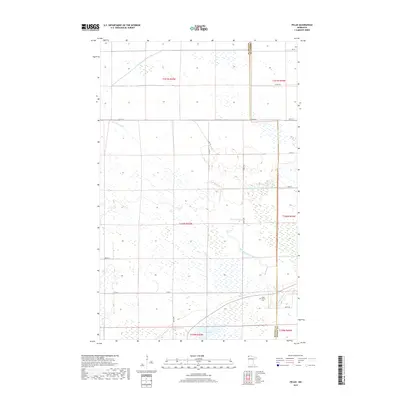
2019 Pelan
Kittson County, MN
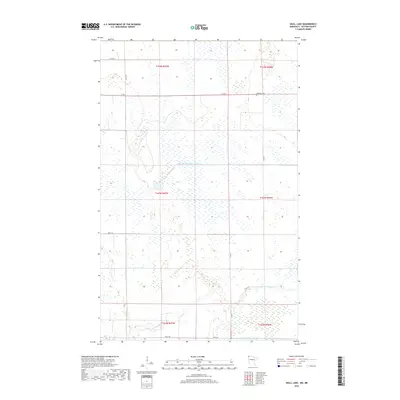
2019 Skull Lake
Kittson County, MN
2019 Skull Lake NE
Kittson County, MN
2019 Skull Lake SE
Kittson County, MN
2019 Skull Lake SW
Kittson County, MN
2019 Twistal Swamp
Kittson County, MN
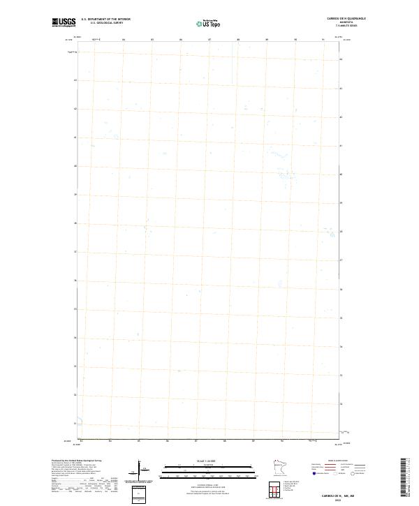
2022 Caribou
Kittson County, MN
2022 Caribou OE N
Kittson County, MN
2022 Drayton SE
Kittson County, MN
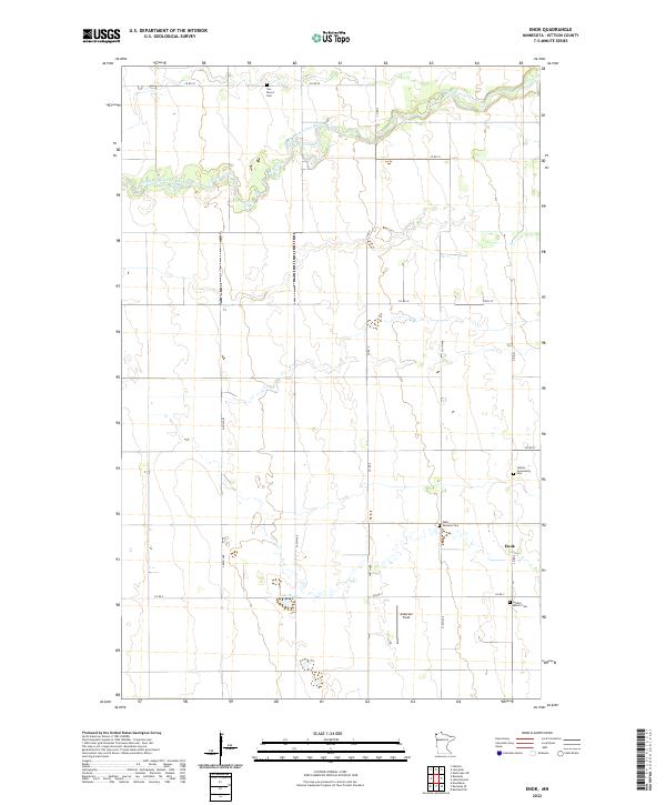
2022 Enok
Kittson County, MN
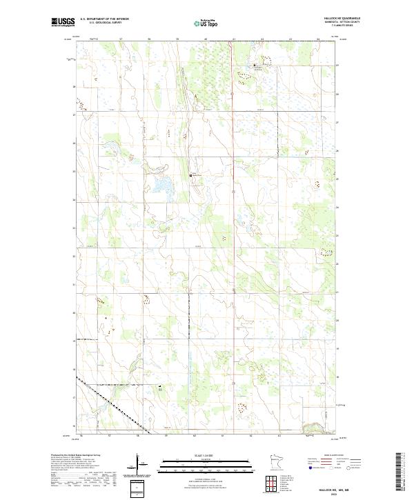
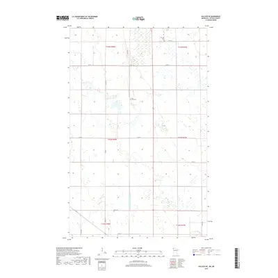
2022 Hallock NE
Kittson County, MN
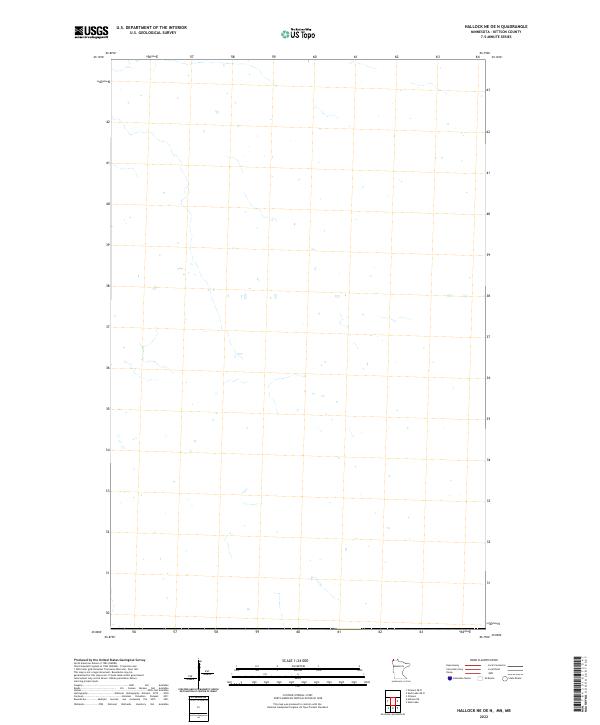
2022 Hallock NE OE N
Kittson County, MN
2022 Hill Siding
Kittson County, MN
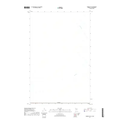
2022 Humboldt OE N
Kittson County, MN
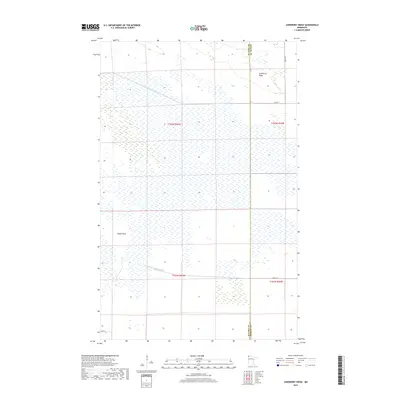
2022 Juneberry Ridge
Kittson County, MN
2022 Karlstad SW
Kittson County, MN
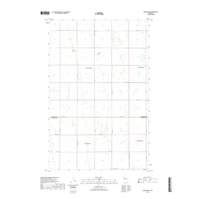
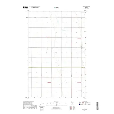
2022 Kennedy SE
Kittson County, MN
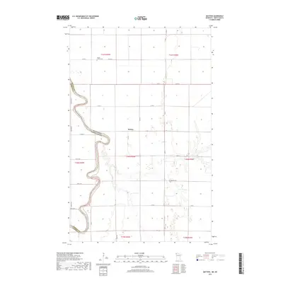
2022 Mattson
Kittson County, MN
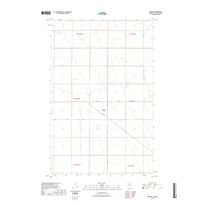
2022 Orleans
Kittson County, MN
2022 Orleans OE N
Kittson County, MN
2022 Pelan
Kittson County, MN

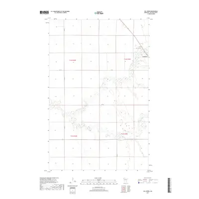
2022 Skull Lake
Kittson County, MN
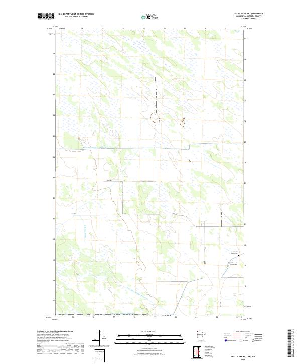
2022 Skull Lake NE
Kittson County, MN
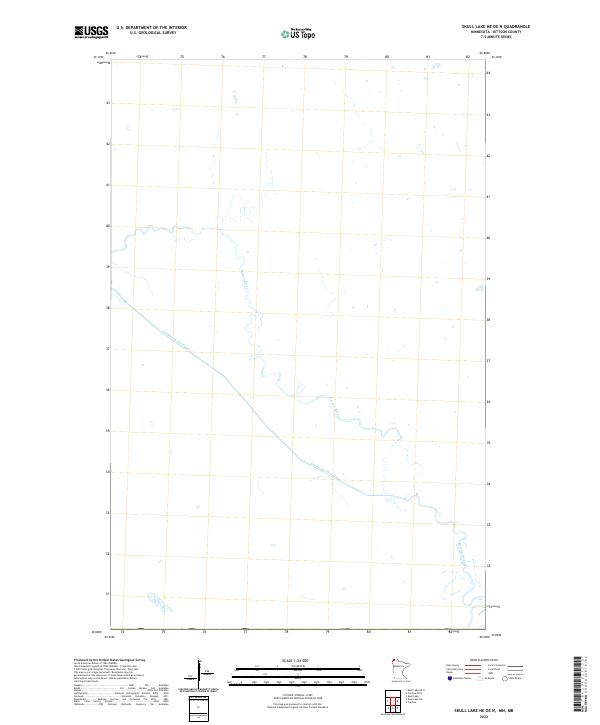
2022 Skull Lake NE OE N
Kittson County, MN
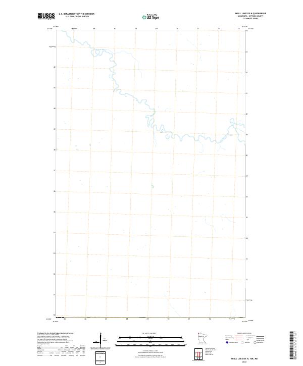
2022 Skull Lake OE N
Kittson County, MN
2022 Skull Lake SE
Kittson County, MN
2022 Skull Lake SW
Kittson County, MN

2022 Twistal Swamp
Kittson County, MN