
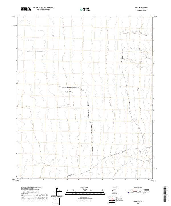
2021 Map of Powerline Well
USGS Topo · Published 2021About this map
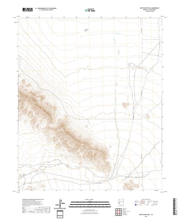
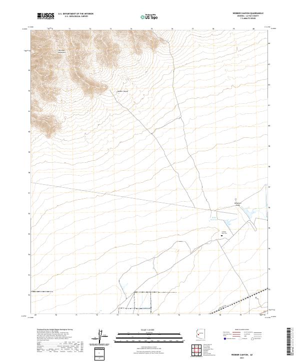
Cactus Plain dominates this arid landscape in eastern La Paz County, where modern infrastructure intersects with old desert tracks. The Central Arizona Project Aqueduct cuts a distinct line northwest to southeast through the basin, representing a massive engineering effort to move water across the desert floor. To the north, the terrain becomes more broken, marked by the access routes of Swansea Mine Rd and Swansea Rd, which lead toward historic mining districts outside the map's immediate bounds. The small settlement of Midway sits at the junction of Powerline Rd and Lincoln Ranch Rd, serving as a rare point of reference in this sparsely populated region. This survey captures the essential character of contemporary Arizona land management, where named landmarks like Powerline Well remain vital navigational markers for those traversing the basin.
Find a feature on this map
12 named features on this map. Tap any name to fly to it.
Don’t see what you’re looking for? This feature index may not catch every label — zoom into the map to look around manually.
Map Details
Editions of this 2021 Powerline Well Map
This is the sole edition of this map. No revisions or reprints were ever made.
Historical Maps of Midway Through Time
137 maps found

1930 Linskey
La Paz County, AZ

1933 Dome Rock Mts
La Paz County, AZ

1934 Trigo Peaks
La Paz County, AZ

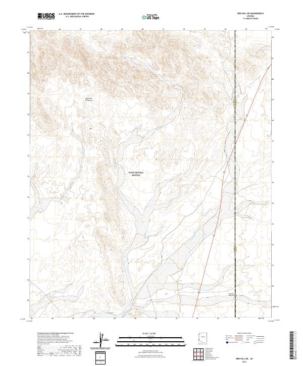
1939 Red Hill
La Paz County, AZ

1939 Trigo Peaks
La Paz County, AZ

1940 Dome Rock Mts
La Paz County, AZ

1952 Mule Wash
La Paz County, AZ

1954 Red Hill
La Paz County, AZ

1954 Trigo Peaks
La Paz County, AZ

1955 La Paz Mtn
La Paz County, AZ

1955 Moon Mtn
La Paz County, AZ

1959 Black Peak
La Paz County, AZ

1959 La Paz Mtn
La Paz County, AZ

1961 Gladden
La Paz County, AZ

1961 Hope
La Paz County, AZ

1961 Lone Mountain
La Paz County, AZ

1964 Mule Wash
La Paz County, AZ

1965 Cibola SE
La Paz County, AZ

1965 Hidden Valley
La Paz County, AZ

1966 Alamo Dam
La Paz County, AZ

1966 Swansea
La Paz County, AZ

1967 E.C.P. Peak
La Paz County, AZ

1967 Smith Peak NW
La Paz County, AZ

1970 Parker SE
La Paz County, AZ

1971 Cunningham Mtn
La Paz County, AZ

1971 Dome Rock Mts SW
La Paz County, AZ

1971 Middle Camp Mtn.
La Paz County, AZ

1971 Moon Mtn NE
La Paz County, AZ

1971 Moon Mtn SE
La Paz County, AZ

1986 Middle Mountains North
La Paz County, AZ

1986 Mohave Peak
La Paz County, AZ

1986 North Trigo Peaks
La Paz County, AZ

1986 Red Hill
La Paz County, AZ

1986 Red Hill NE
La Paz County, AZ

1986 Red Hill SW
La Paz County, AZ

1986 Trigo Mts
La Paz County, AZ

1986 Trigo Pass
La Paz County, AZ

1986 Tweed Mine
La Paz County, AZ

1989 Socorro Peak
La Paz County, AZ

1989 Webber Canyon
La Paz County, AZ

1990 Alamo Dam
La Paz County, AZ

1990 Alamo Dam SE
La Paz County, AZ

1990 Bear Hills
La Paz County, AZ

1990 Black Peak
La Paz County, AZ

1990 Bobs Well
La Paz County, AZ

1990 Bouse Hills East
La Paz County, AZ

1990 Bouse Hills West
La Paz County, AZ

1990 Bouse NW
La Paz County, AZ

1990 Bouse SW
La Paz County, AZ

1990 Butler Pass
La Paz County, AZ

1990 Butler Well
La Paz County, AZ

1990 Cholla Tank
La Paz County, AZ

1990 Coyote Peak
La Paz County, AZ

1990 Crystal Hill
La Paz County, AZ

1990 Cunningham Pass
La Paz County, AZ

1990 Eagletail Mountains West
La Paz County, AZ

1990 East of Utting
La Paz County, AZ

1990 Harcuvar
La Paz County, AZ

1990 Harcuvar Peak
La Paz County, AZ

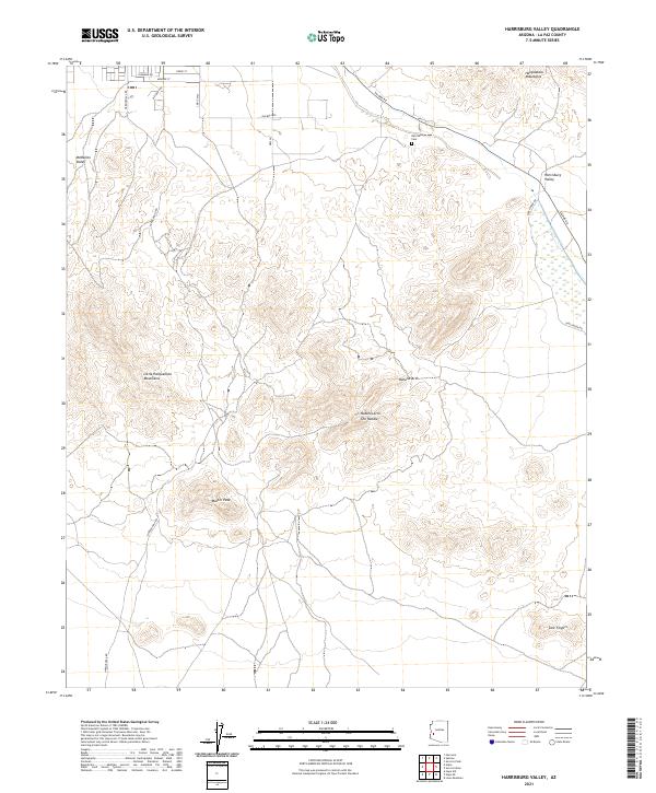
1990 Harrisburg Valley
La Paz County, AZ

1990 Hope
La Paz County, AZ

1990 Hope SE
La Paz County, AZ

1990 Hope SW
La Paz County, AZ

1990 Ibex Peak
La Paz County, AZ

1990 Little Horn Mountains NE
La Paz County, AZ

1990 Lone Mountain
La Paz County, AZ

1990 New Water Mountains
La Paz County, AZ

1990 New Water Well
La Paz County, AZ

1990 Osborne Well
La Paz County, AZ

1990 Owl Head
La Paz County, AZ

1990 Planet
La Paz County, AZ

1990 Plomosa Pass
La Paz County, AZ

1990 Powerline Well
La Paz County, AZ

1990 Reid Valley
La Paz County, AZ

1990 Socorro Mine
La Paz County, AZ

1990 South of Quartzsite
La Paz County, AZ

1990 Swansea
La Paz County, AZ
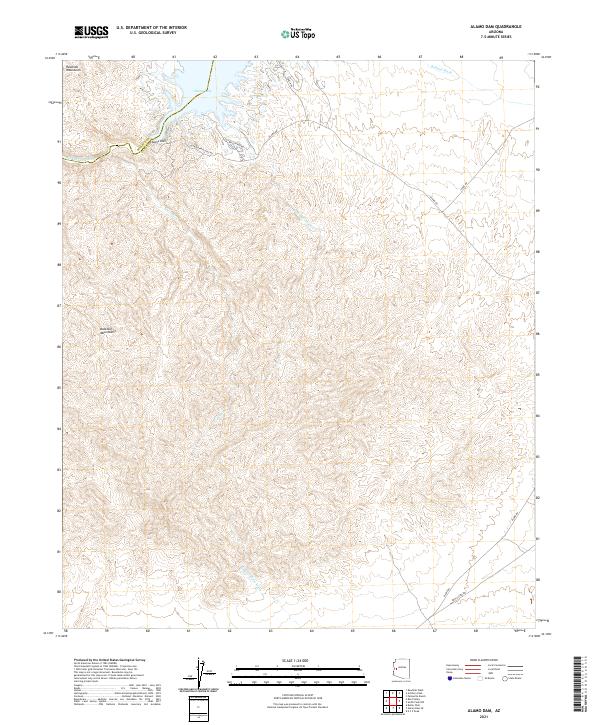
2021 Alamo Dam
La Paz County, AZ
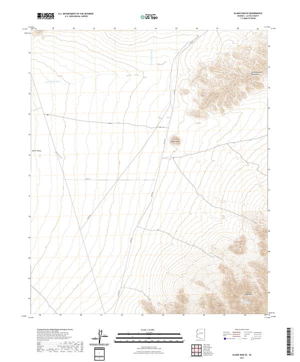
2021 Alamo Dam SE
La Paz County, AZ
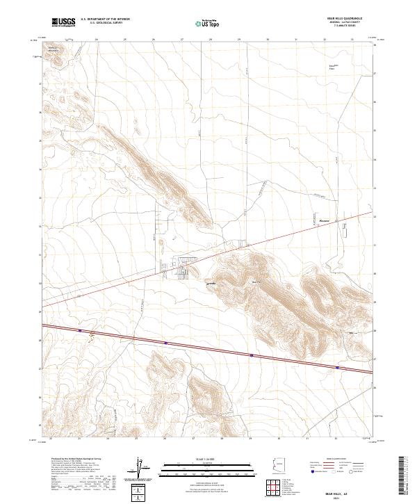
2021 Bear Hills
La Paz County, AZ

2021 Black Peak
La Paz County, AZ
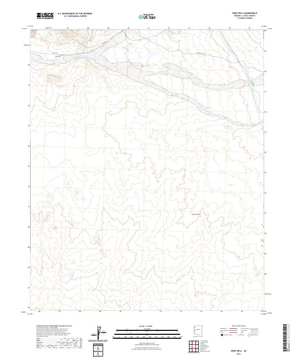
2021 Bobs Well
La Paz County, AZ
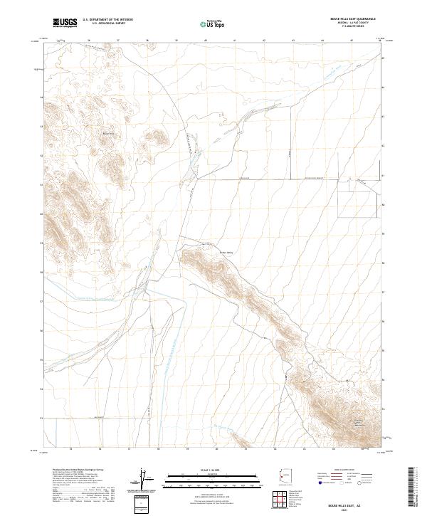
2021 Bouse Hills East
La Paz County, AZ
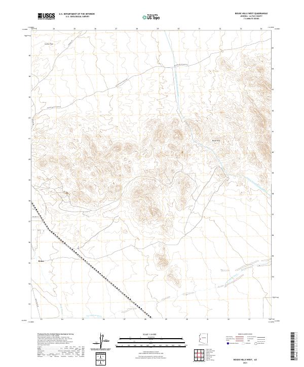
2021 Bouse Hills West
La Paz County, AZ

2021 Bouse NW
La Paz County, AZ
2021 Bouse SW
La Paz County, AZ
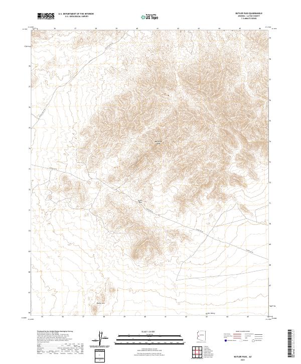
2021 Butler Pass
La Paz County, AZ
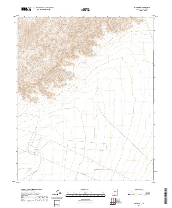
2021 Butler Well
La Paz County, AZ
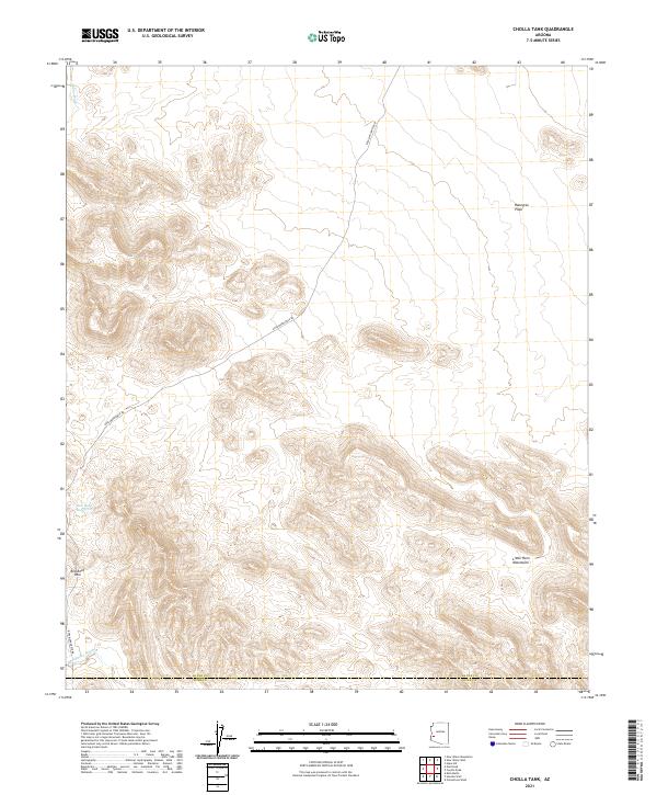
2021 Cholla Tank
La Paz County, AZ
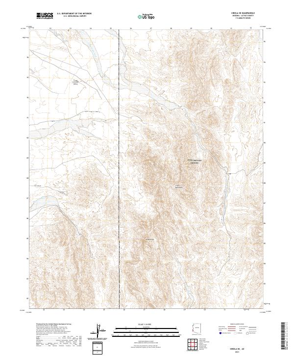
2021 Cibola SE
La Paz County, AZ
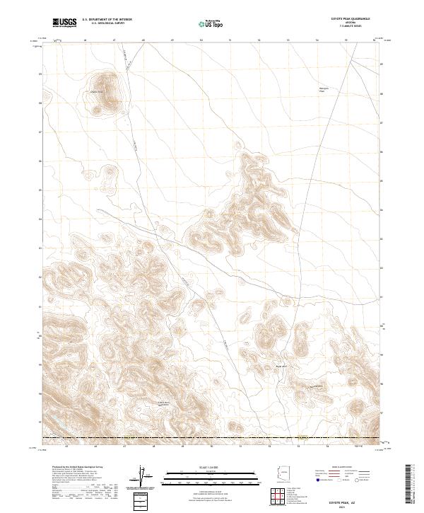
2021 Coyote Peak
La Paz County, AZ
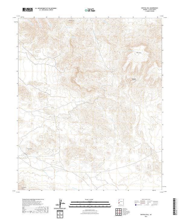
2021 Crystal Hill
La Paz County, AZ
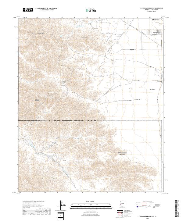
2021 Cunningham Mountain
La Paz County, AZ
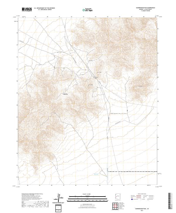
2021 Cunningham Pass
La Paz County, AZ
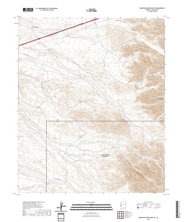
2021 Dome Rock Mountains SW
La Paz County, AZ

2021 Eagletail Mountains West
La Paz County, AZ
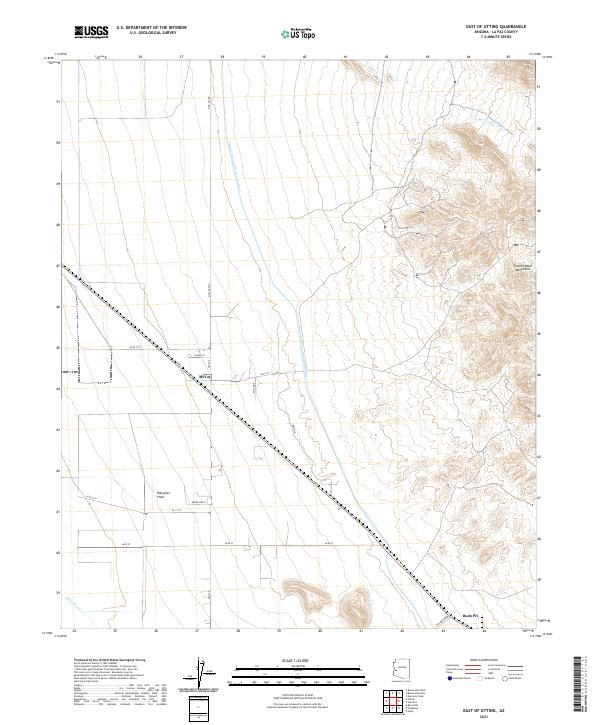
2021 East of Utting
La Paz County, AZ
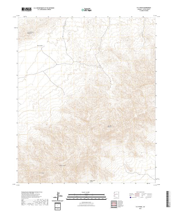
2021 E C P Peak
La Paz County, AZ
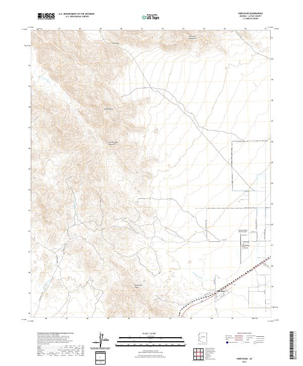
2021 Harcuvar
La Paz County, AZ
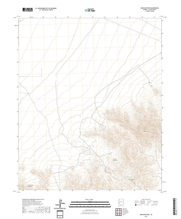
2021 Harcuvar Peak
La Paz County, AZ
2021 Harrisburg Valley
La Paz County, AZ
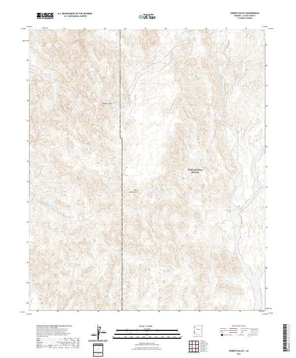
2021 Hidden Valley
La Paz County, AZ
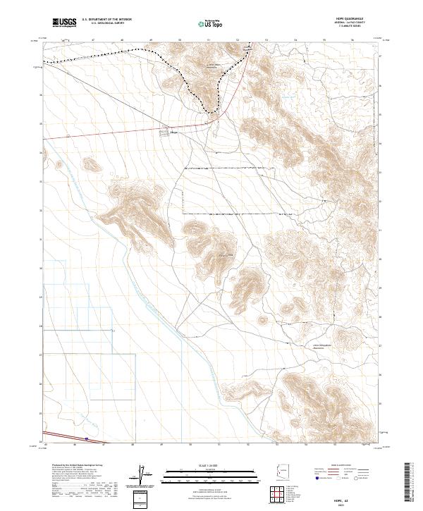
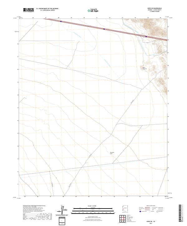
2021 Hope
La Paz County, AZ
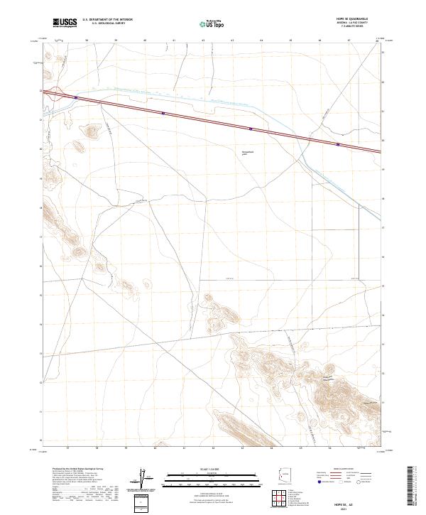
2021 Hope SE
La Paz County, AZ
2021 Hope SW
La Paz County, AZ
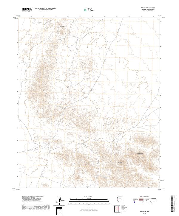
2021 Ibex Peak
La Paz County, AZ

2021 La Paz Mountain
La Paz County, AZ
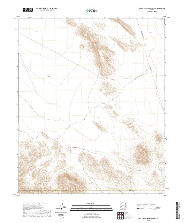
2021 Little Horn Mountains NE
La Paz County, AZ
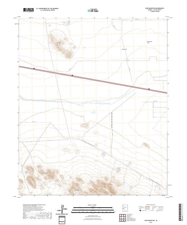
2021 Lone Mountain
La Paz County, AZ
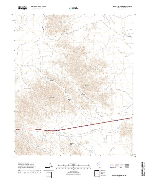
2021 Middle Camp Mountain
La Paz County, AZ
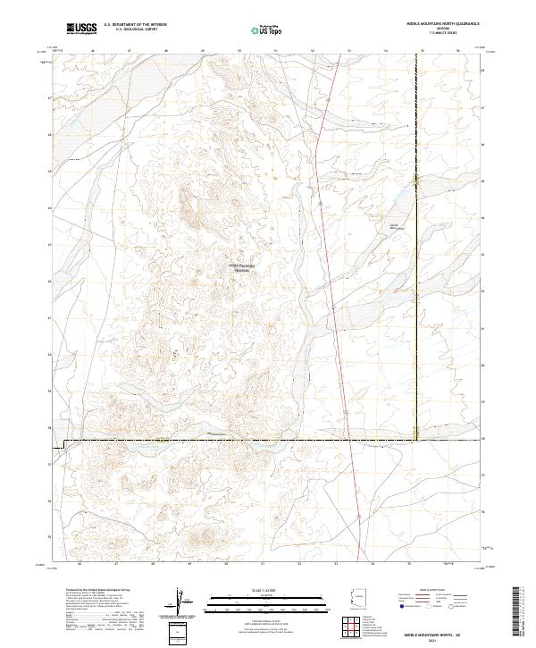
2021 Middle Mountains North
La Paz County, AZ
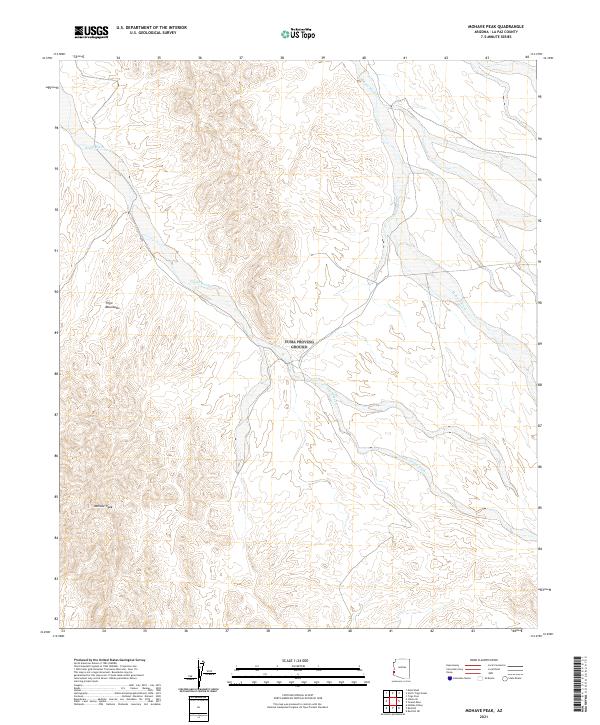
2021 Mohave Peak
La Paz County, AZ
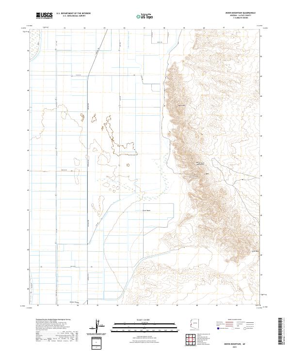
2021 Moon Mountain
La Paz County, AZ

2021 Moon Mountain NE
La Paz County, AZ
2021 Moon Mountain SE
La Paz County, AZ

2021 Mule Wash
La Paz County, AZ
2021 New Water Mountains
La Paz County, AZ
2021 New Water Well
La Paz County, AZ
2021 North Trigo Peaks
La Paz County, AZ
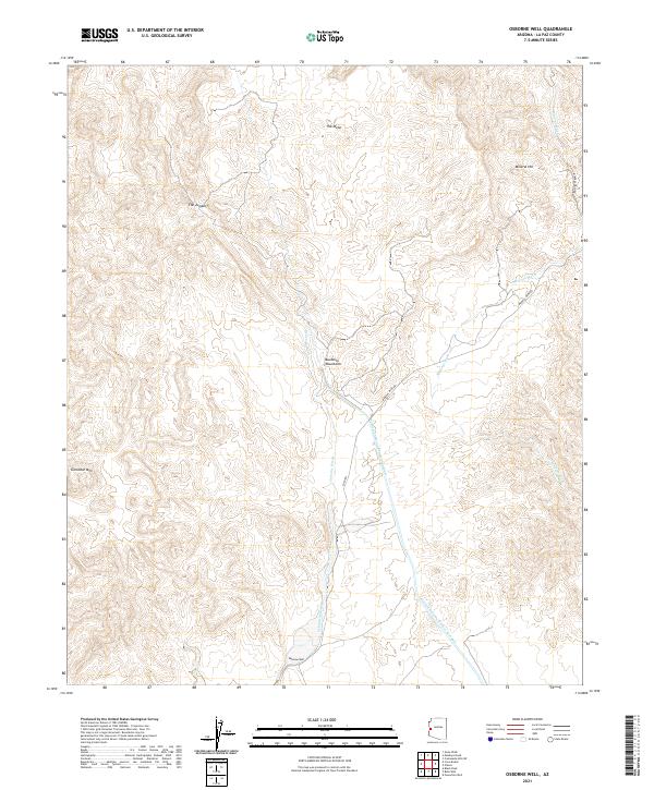
2021 Osborne Well
La Paz County, AZ
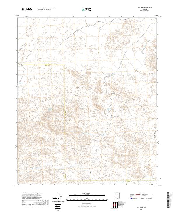
2021 Owl Head
La Paz County, AZ

2021 Parker SE
La Paz County, AZ
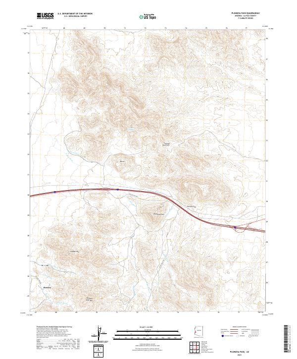
2021 Plomosa Pass
La Paz County, AZ
2021 Powerline Well
La Paz County, AZ
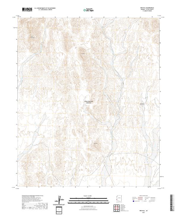
2021 Red Hill
La Paz County, AZ
2021 Red Hill NE
La Paz County, AZ

2021 Red Hill SW
La Paz County, AZ
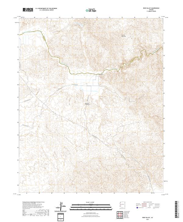
2021 Reid Valley
La Paz County, AZ
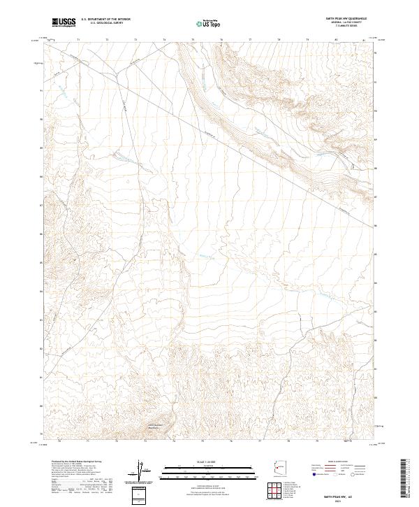
2021 Smith Peak NW
La Paz County, AZ

2021 Socorro Mine
La Paz County, AZ
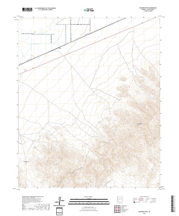
2021 Socorro Peak
La Paz County, AZ
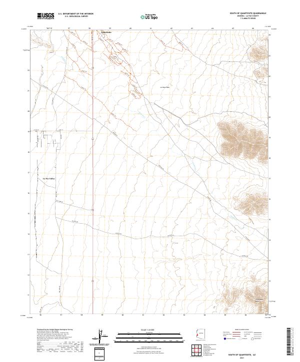
2021 South of Quartzsite
La Paz County, AZ
2021 Swansea
La Paz County, AZ
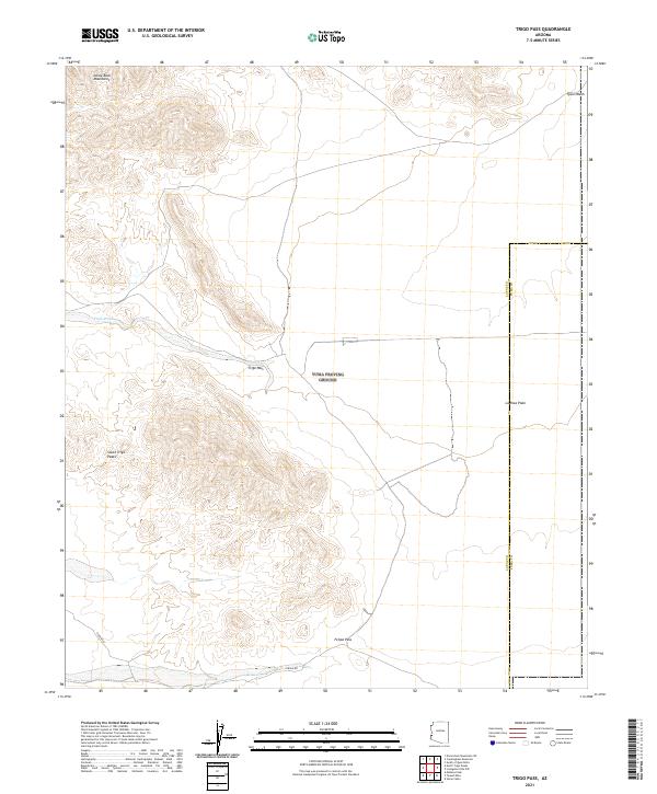
2021 Trigo Pass
La Paz County, AZ
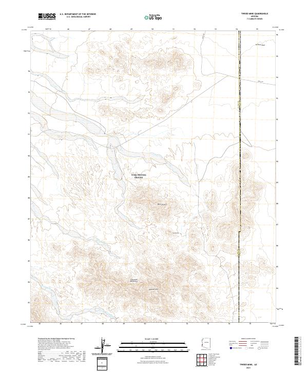
2021 Tweed Mine
La Paz County, AZ
2021 Webber Canyon
La Paz County, AZ

2023 Planet
La Paz County, AZ