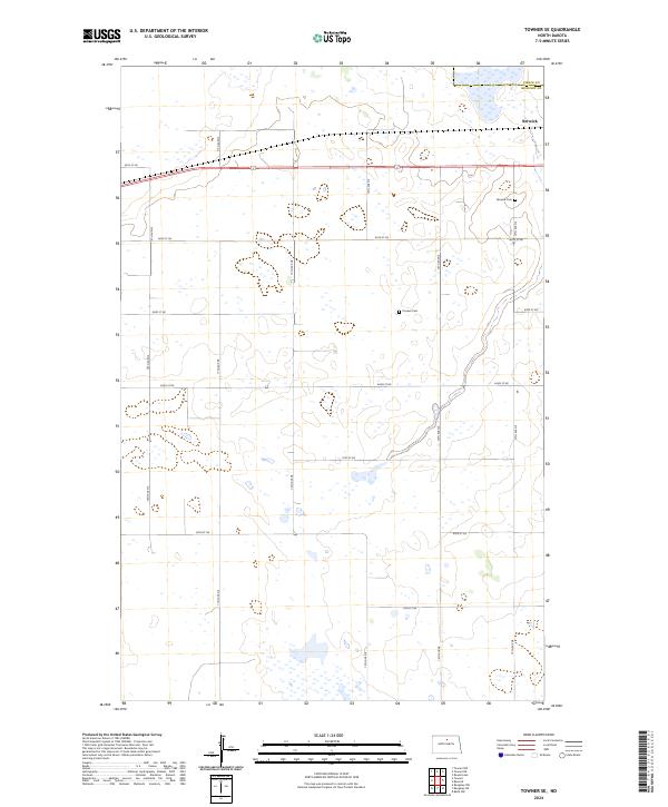
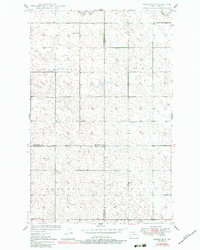
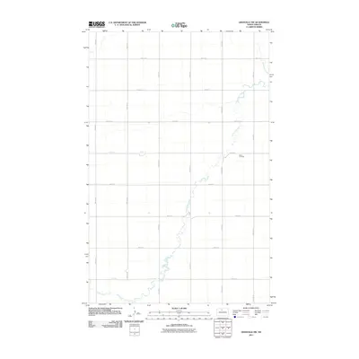
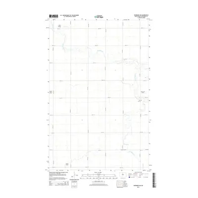
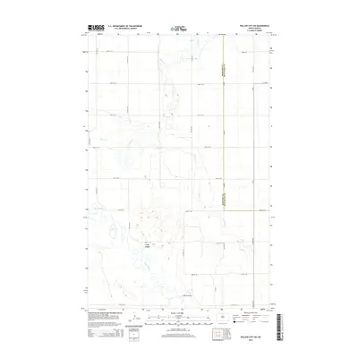
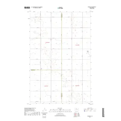
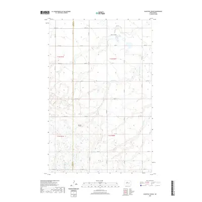
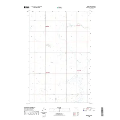
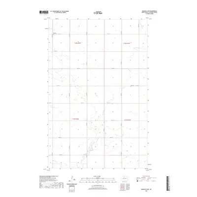
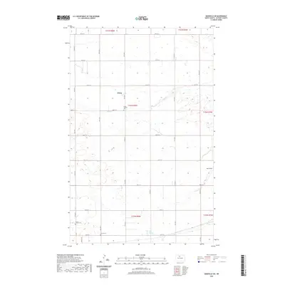
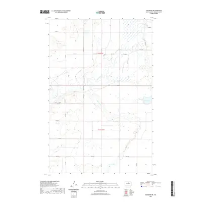
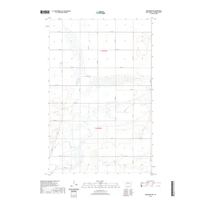
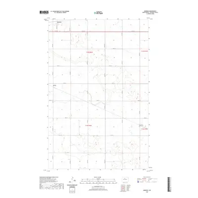
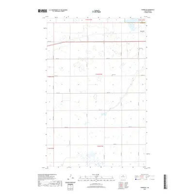
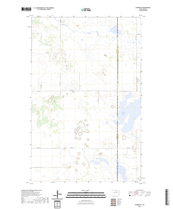
2024 Map of Towner SE
USGS Topo · Published 2024About this map
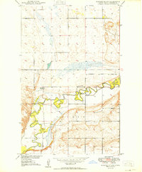
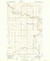
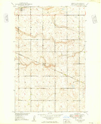
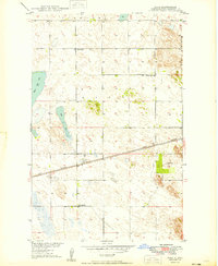
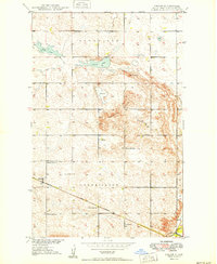
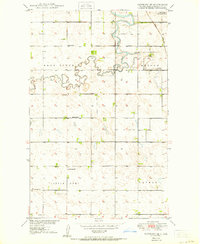
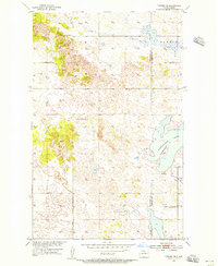
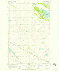
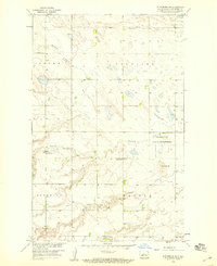
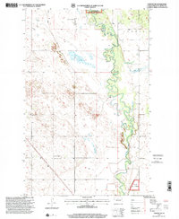
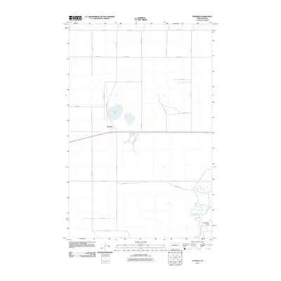
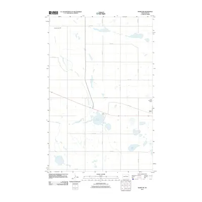
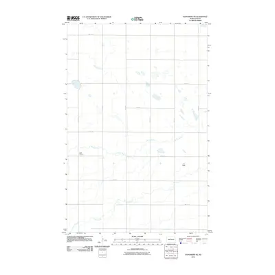
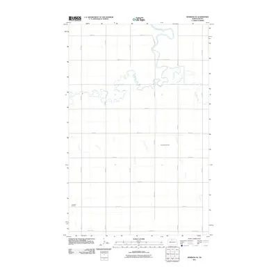
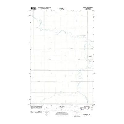
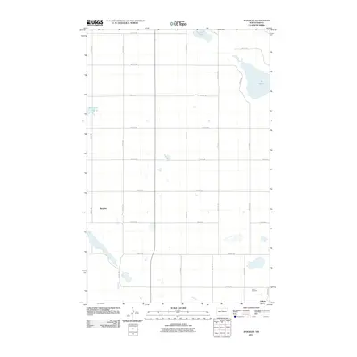
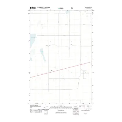
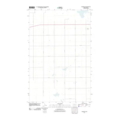
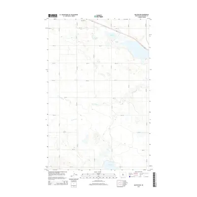
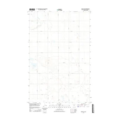
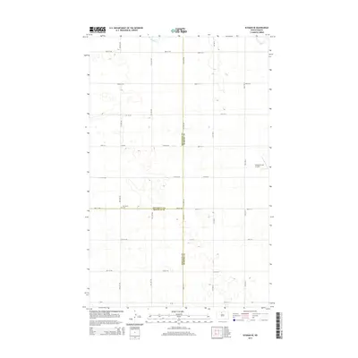
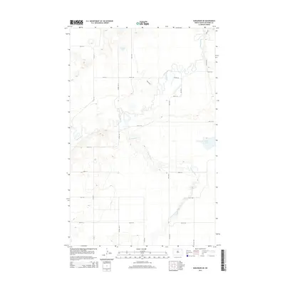
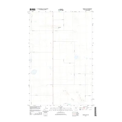
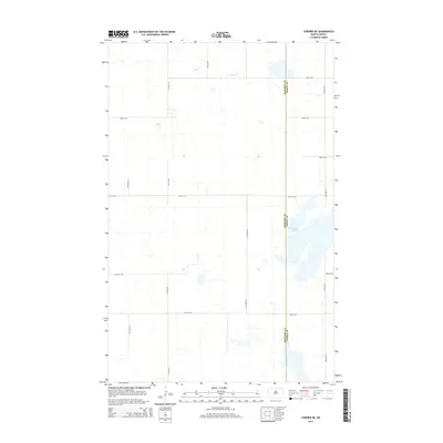
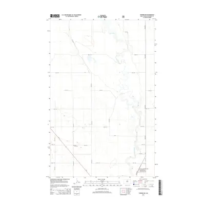
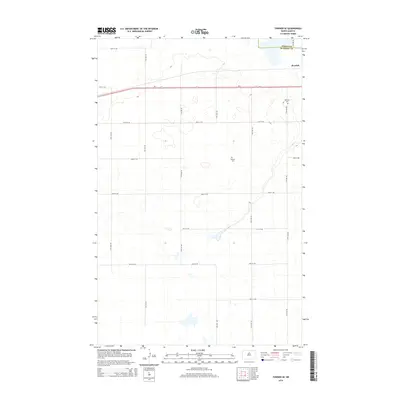
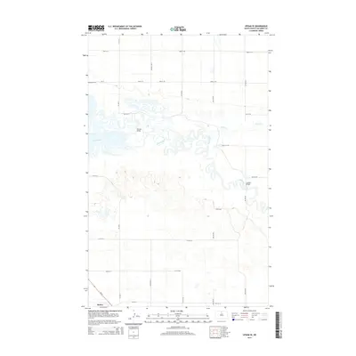
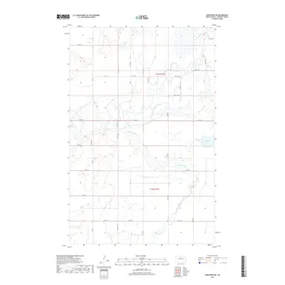
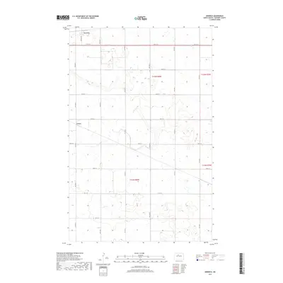
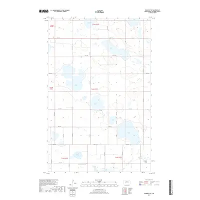
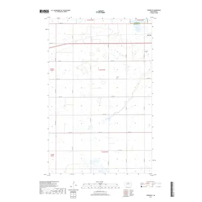
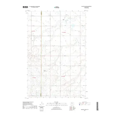
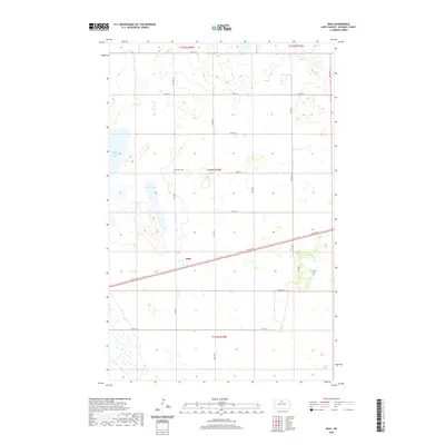
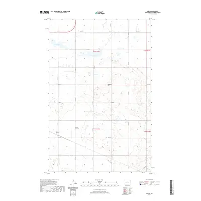
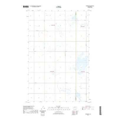
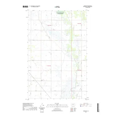
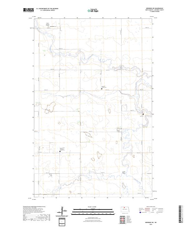
Berwick stands at the northeastern edge of this prairie landscape, serving as a focal point for a region defined by agricultural sections and significant conservation land. The presence of the McHenry County Waterfowl Production Area near the McHenry Co and Pierce Co boundary highlights the area's importance for migratory birds and natural preservation. A grid of county roads, including 65th St NE and 64th St NE, connects the scattered farmsteads and rural properties that characterize this part of North Dakota.
Find a feature on this map
19 named features on this map. Tap any name to fly to it.
Don’t see what you’re looking for? This feature index may not catch every label — zoom into the map to look around manually.
Map Details
Editions of this 2024 Towner SE Map
This is the sole edition of this map. No revisions or reprints were ever made.
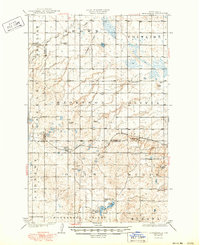
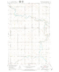
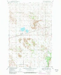
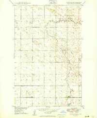
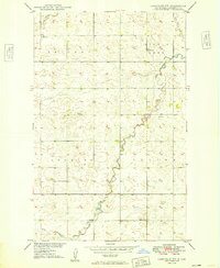
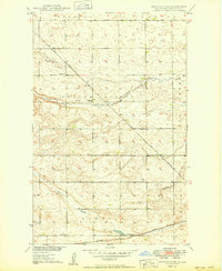
Historical Maps of McHenry County Through Time
162 maps found
1929 Kongsberg
McHenry County, ND
1948 Newburg SW
McHenry County, ND
1949 Denbigh
McHenry County, ND
1949 Eckman SE
McHenry County, ND
1949 Granville NE
McHenry County, ND
1949 Granville NW
McHenry County, ND
1949 Granville SW
McHenry County, ND
1949 Karlsruhe NW
McHenry County, ND
1949 Newburg SW
McHenry County, ND
1949 Norwich
McHenry County, ND
1949 Riga
McHenry County, ND
1949 Simcoe
McHenry County, ND
1950 Bantry NW
McHenry County, ND
1950 Denbigh
McHenry County, ND
1950 Karlsruhe NE
McHenry County, ND
1950 Newburg SE
McHenry County, ND
1950 Towner NW
McHenry County, ND
1950 Upham SE
McHenry County, ND
1950 Willow City SW
McHenry County, ND
1954 Towner NE
McHenry County, ND
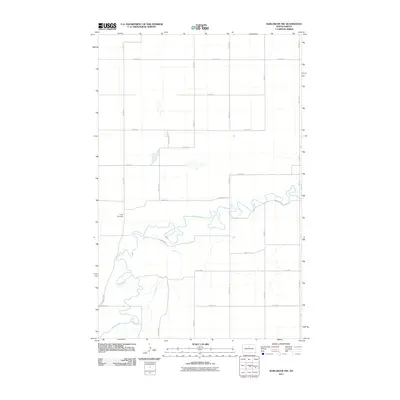
1954 Towner SE
McHenry County, ND
1955 Rangeley NE
McHenry County, ND
1955 Rangeley NW
McHenry County, ND
1957 Rangeley
McHenry County, ND
1957 Rangeley SE
McHenry County, ND
1958 Balfour NW
McHenry County, ND
1958 Drake NW
McHenry County, ND
1958 Kongsberg NE
McHenry County, ND
1974 Kongsberg NW
McHenry County, ND
1981 Blacktail Coulee
McHenry County, ND
1997 Riga
McHenry County, ND
1997 Towner NW
McHenry County, ND
2011 Balfour NW
McHenry County, ND
2011 Bantry NW
McHenry County, ND
2011 Blacktail Coulee
McHenry County, ND
2011 Denbigh
McHenry County, ND
2011 Drake NW
McHenry County, ND
2011 Eckman SE
McHenry County, ND
2011 Granville NE
McHenry County, ND
2011 Granville NW
McHenry County, ND
2011 Granville SW
McHenry County, ND
2011 Karlsruhe NE
McHenry County, ND
2011 Karlsruhe NW
McHenry County, ND
2011 Kongsberg NE
McHenry County, ND
2011 Newburg SE
McHenry County, ND
2011 Newburg SW
McHenry County, ND
2011 Norwich
McHenry County, ND
2011 Rangeley
McHenry County, ND
2011 Rangeley NE
McHenry County, ND
2011 Rangeley NW
McHenry County, ND
2011 Rangeley SE
McHenry County, ND
2011 Riga
McHenry County, ND
2011 Simcoe
McHenry County, ND
2011 Towner NE
McHenry County, ND
2011 Towner NW
McHenry County, ND
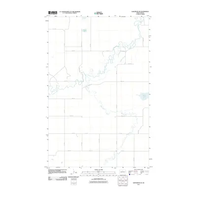
2011 Towner SE
McHenry County, ND
2011 Upham SE
McHenry County, ND
2011 Willow City SW
McHenry County, ND
2014 Balfour NW
McHenry County, ND
2014 Bantry NW
McHenry County, ND
2014 Blacktail Coulee
McHenry County, ND
2014 Denbigh
McHenry County, ND
2014 Drake NW
McHenry County, ND
2014 Eckman SE
McHenry County, ND
2014 Granville NE
McHenry County, ND
2014 Granville NW
McHenry County, ND
2014 Granville SW
McHenry County, ND
2014 Karlsruhe NE
McHenry County, ND
2014 Karlsruhe NW
McHenry County, ND
2014 Kongsberg NE
McHenry County, ND
2014 Newburg SE
McHenry County, ND
2014 Newburg SW
McHenry County, ND
2014 Norwich
McHenry County, ND
2014 Rangeley
McHenry County, ND
2014 Rangeley NE
McHenry County, ND
2014 Rangeley NW
McHenry County, ND
2014 Rangeley SE
McHenry County, ND
2014 Riga
McHenry County, ND
2014 Simcoe
McHenry County, ND
2014 Towner NE
McHenry County, ND
2014 Towner NW
McHenry County, ND
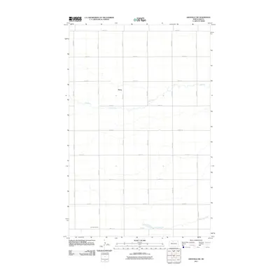
2014 Towner SE
McHenry County, ND
2014 Upham SE
McHenry County, ND
2014 Willow City SW
McHenry County, ND
2017 Bantry NW
McHenry County, ND
2017 Denbigh
McHenry County, ND
2017 Drake NW
McHenry County, ND
2017 Eckman SE
McHenry County, ND
2017 Granville NE
McHenry County, ND
2017 Granville NW
McHenry County, ND
2017 Granville SW
McHenry County, ND
2017 Karlsruhe NE
McHenry County, ND
2017 Karlsruhe NW
McHenry County, ND
2017 Newburg SE
McHenry County, ND
2017 Newburg SW
McHenry County, ND
2017 Norwich
McHenry County, ND
2017 Rangeley
McHenry County, ND
2017 Rangeley NE
McHenry County, ND
2017 Rangeley NW
McHenry County, ND
2017 Rangeley SE
McHenry County, ND
2017 Riga
McHenry County, ND
2017 Simcoe
McHenry County, ND
2017 Towner NE
McHenry County, ND

2017 Towner NW
McHenry County, ND
2017 Towner SE
McHenry County, ND
2017 Upham SE
McHenry County, ND
2017 Willow City SW
McHenry County, ND
2018 Balfour NW
McHenry County, ND
2018 Blacktail Coulee
McHenry County, ND
2018 Kongsberg NE
McHenry County, ND
2020 Balfour NW
McHenry County, ND
2020 Bantry NW
McHenry County, ND
2020 Blacktail Coulee
McHenry County, ND
2020 Denbigh
McHenry County, ND
2020 Drake NW
McHenry County, ND
2020 Eckman SE
McHenry County, ND
2020 Granville NE
McHenry County, ND
2020 Granville NW
McHenry County, ND
2020 Granville SW
McHenry County, ND
2020 Karlsruhe NE
McHenry County, ND
2020 Karlsruhe NW
McHenry County, ND
2020 Kongsberg NE
McHenry County, ND
2020 Newburg SE
McHenry County, ND
2020 Newburg SW
McHenry County, ND
2020 Norwich
McHenry County, ND
2020 Rangeley
McHenry County, ND

2020 Rangeley NE
McHenry County, ND
2020 Rangeley NW
McHenry County, ND
2020 Rangeley SE
McHenry County, ND
2020 Riga
McHenry County, ND
2020 Simcoe
McHenry County, ND
2020 Towner NE
McHenry County, ND
2020 Towner NW
McHenry County, ND
2020 Towner SE
McHenry County, ND
2020 Upham SE
McHenry County, ND
2020 Willow City SW
McHenry County, ND
2024 Balfour NW
McHenry County, ND
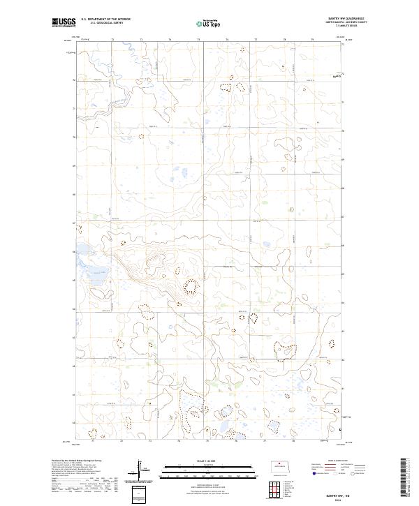
2024 Bantry NW
McHenry County, ND
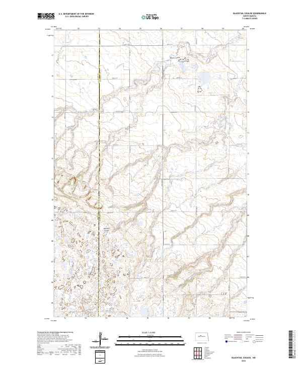
2024 Blacktail Coulee
McHenry County, ND
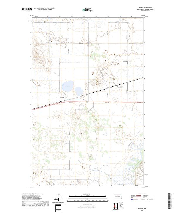
2024 Denbigh
McHenry County, ND
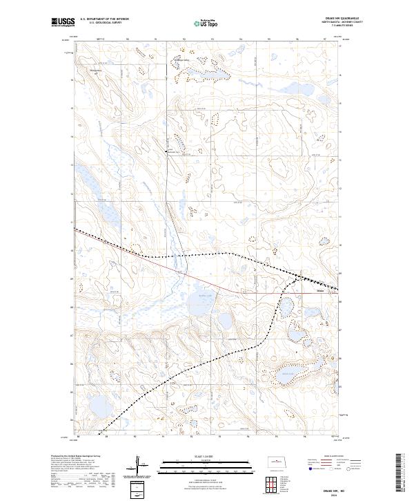
2024 Drake NW
McHenry County, ND
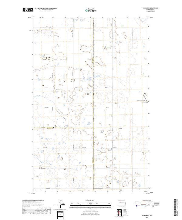
2024 Eckman SE
McHenry County, ND
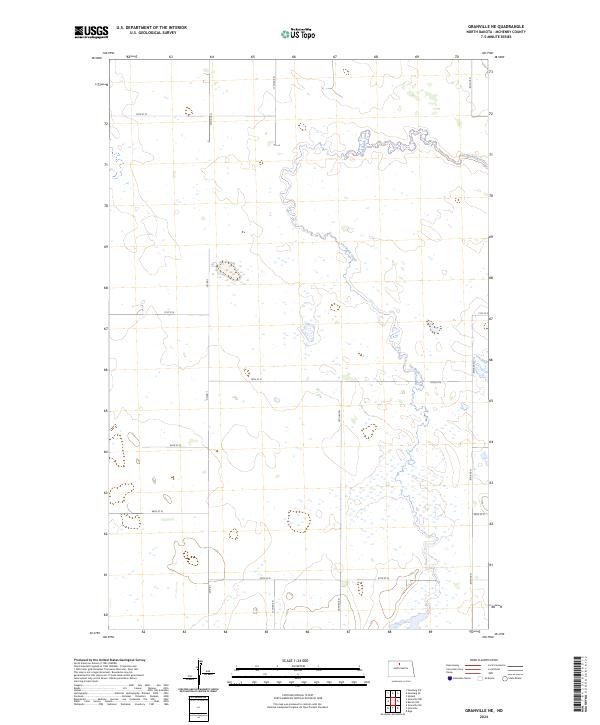
2024 Granville NE
McHenry County, ND
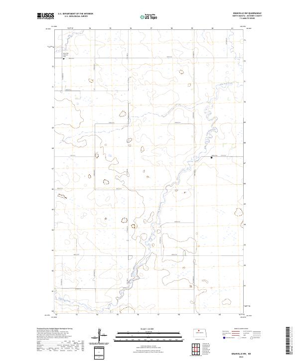
2024 Granville NW
McHenry County, ND
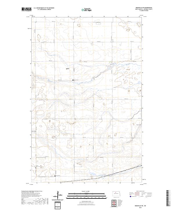
2024 Granville SW
McHenry County, ND
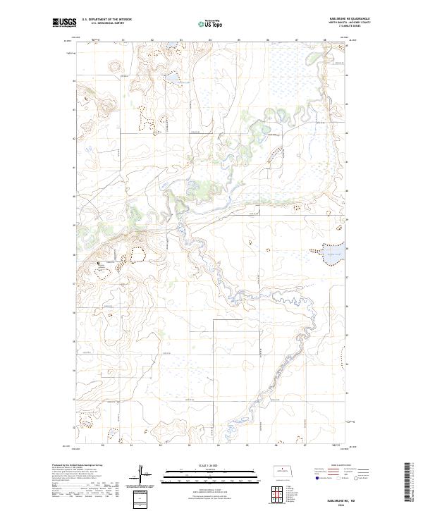
2024 Karlsruhe NE
McHenry County, ND
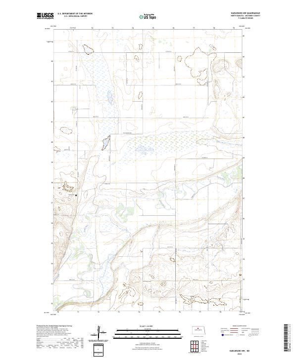
2024 Karlsruhe NW
McHenry County, ND
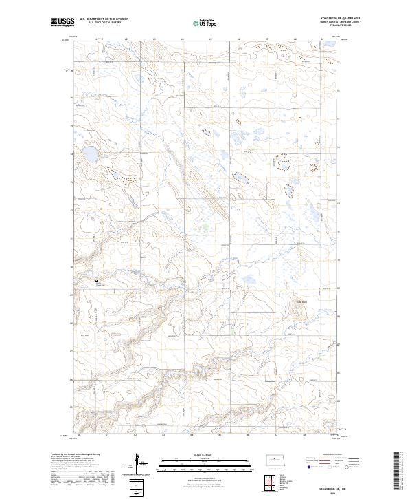
2024 Kongsberg NE
McHenry County, ND
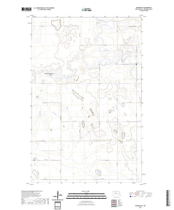
2024 Newburg SE
McHenry County, ND
2024 Newburg SW
McHenry County, ND
2024 Norwich
McHenry County, ND
2024 Rangeley
McHenry County, ND
2024 Rangeley NE
McHenry County, ND
2024 Rangeley NW
McHenry County, ND
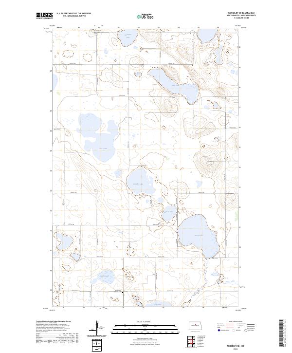
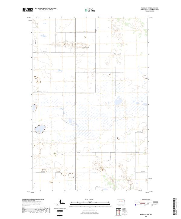
2024 Rangeley SE
McHenry County, ND
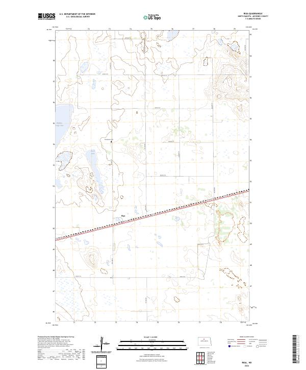
2024 Riga
McHenry County, ND
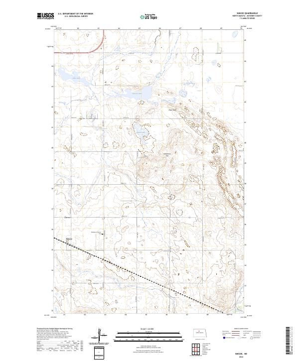
2024 Simcoe
McHenry County, ND
2024 Towner NE
McHenry County, ND
2024 Towner NW
McHenry County, ND
2024 Towner SE
McHenry County, ND
2024 Upham SE
McHenry County, ND
2024 Willow City SW
McHenry County, ND