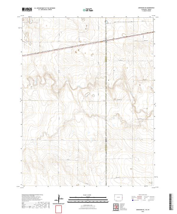
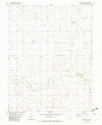
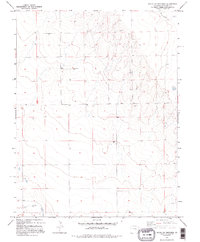
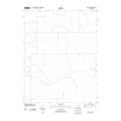
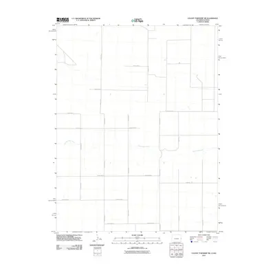
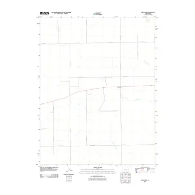
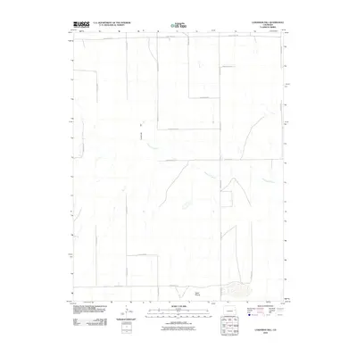
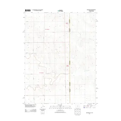
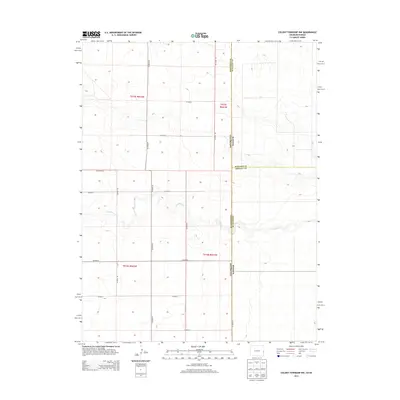
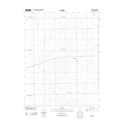
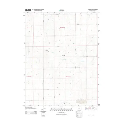
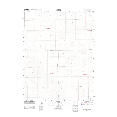
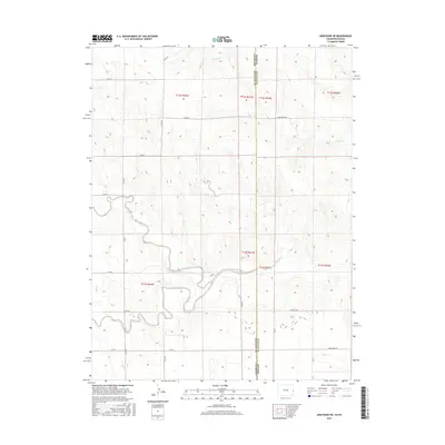
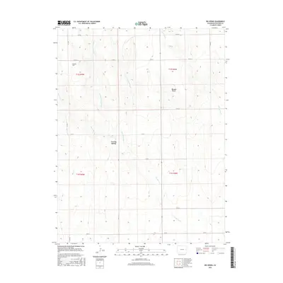
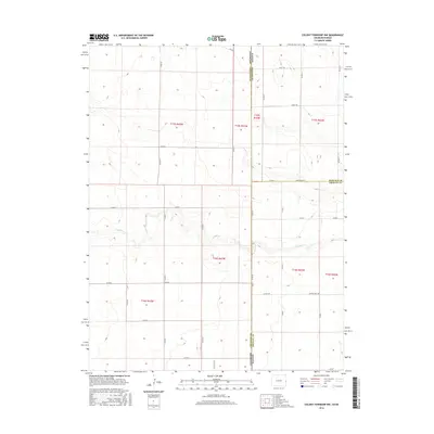
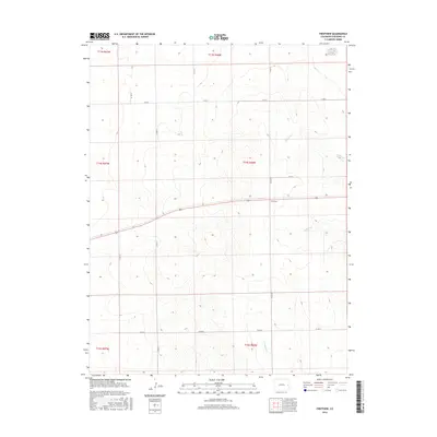
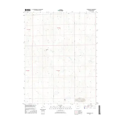
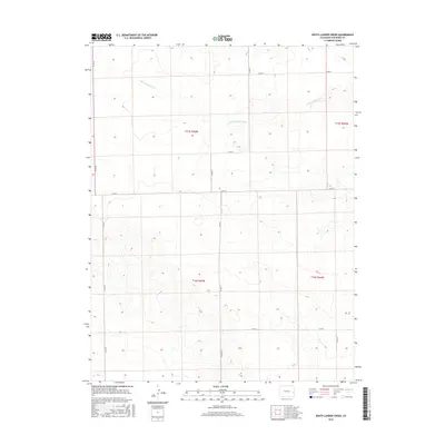
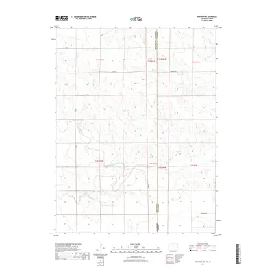
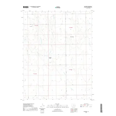
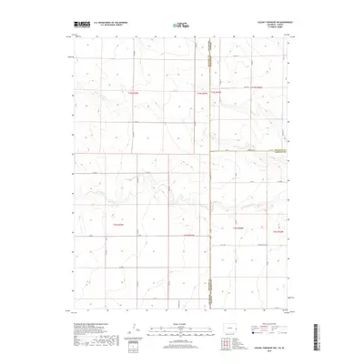
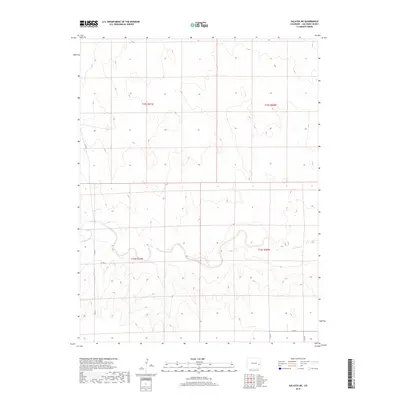
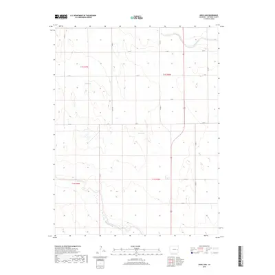
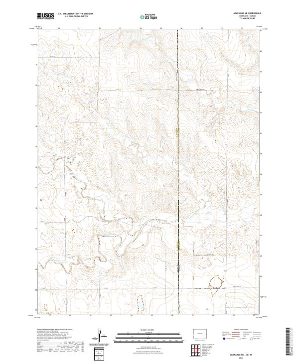
2022 Map of Arapahoe SE
USGS Topo · Published 2022About this map
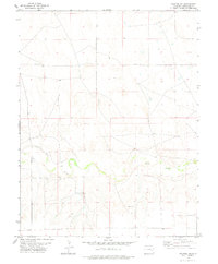
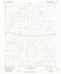
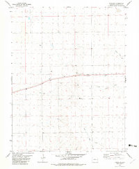
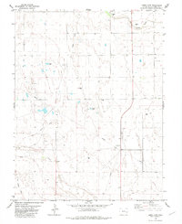
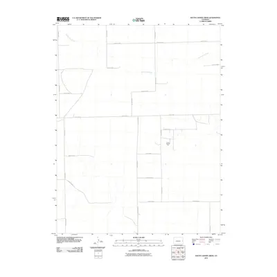
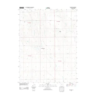
The Colorado Kansas state line forms the primary vertical axis of this landscape, where Cheyenne Co and Wallace Co meet. The terrain is defined by the winding course of Ladder Cr, which cuts across the central and southern portions of the quadrangle. This area represents the quintessential High Plains borderland, where the land is organized by a strict section-line road grid, including Co RD Q and Co RD N.
Find a feature on this map
33 named features on this map. Tap any name to fly to it.
Don’t see what you’re looking for? This feature index may not catch every label — zoom into the map to look around manually.
Map Details
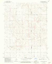
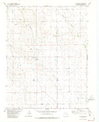
Editions of this 2022 Arapahoe SE Map
This is the sole edition of this map. No revisions or reprints were ever made.
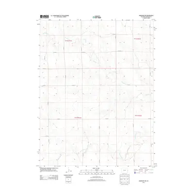
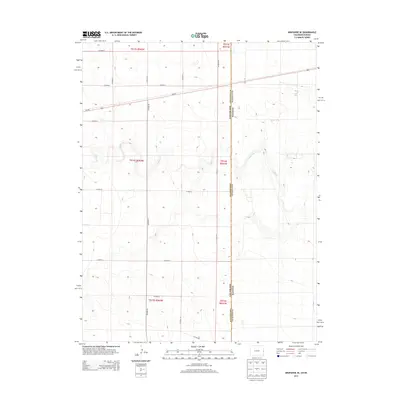
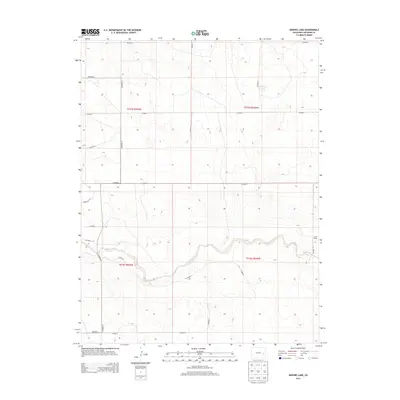
Historical Maps of Weskan Township Through Time
144 maps found
1969 Arapahoe NE
Cheyenne County, CO
1969 Arapahoe SE
Cheyenne County, CO
1969 Mount Sunflower
Cheyenne County, CO
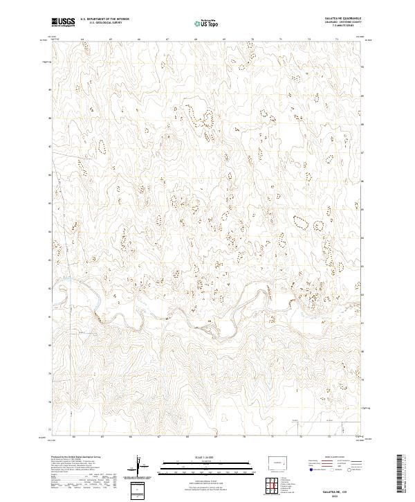
1978 Galatea NE
Cheyenne County, CO
1978 Sanders Ranch
Cheyenne County, CO
1978 Wild Horse
Cheyenne County, CO
1982 Arapahoe NW
Cheyenne County, CO
1982 Arsenic Lake
Cheyenne County, CO
1982 Big Spring
Cheyenne County, CO
1982 Cheyenne Wells NE
Cheyenne County, CO
1982 Cheyenne Wells NW
Cheyenne County, CO
1982 Cheyenne Wells SW
Cheyenne County, CO
1982 East Of Lewis Lake
Cheyenne County, CO
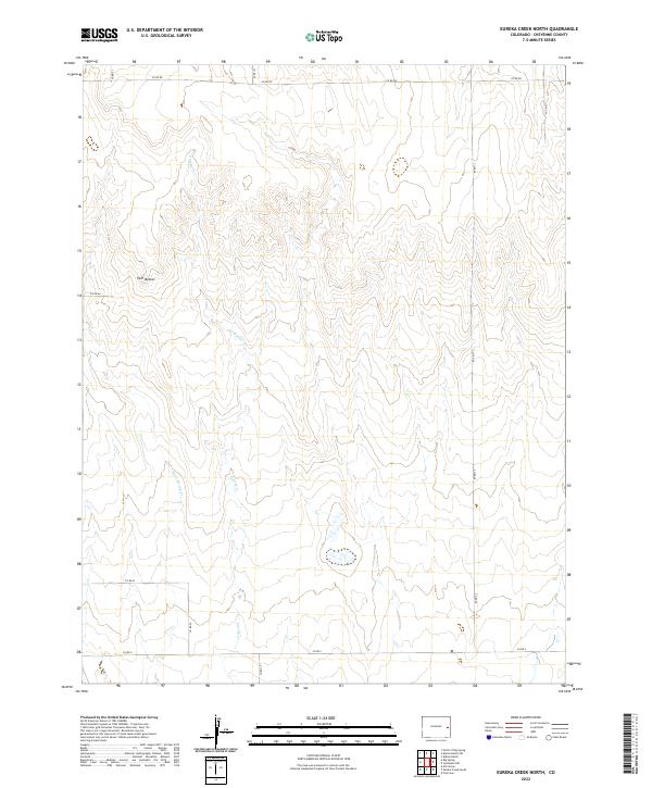
1982 Eureka Creek North
Cheyenne County, CO
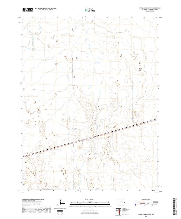
1982 Eureka Creek South
Cheyenne County, CO
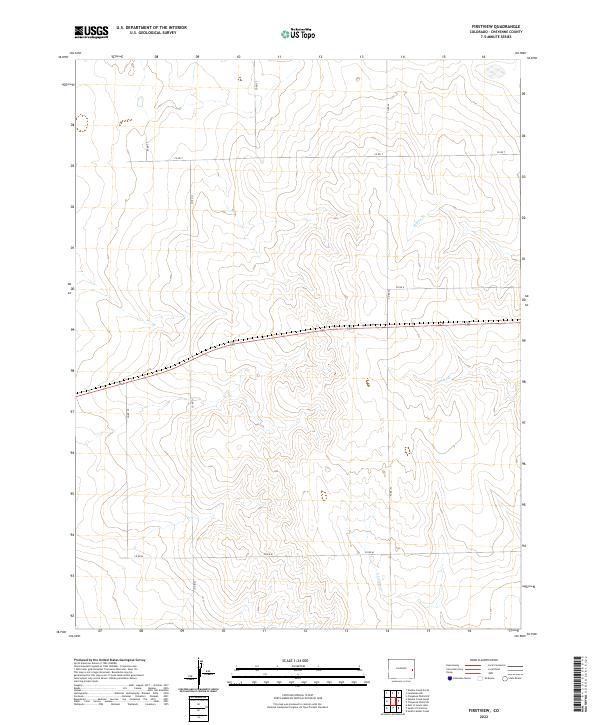
1982 Firstview
Cheyenne County, CO
1982 Kit Carson NW
Cheyenne County, CO
1982 Lake Albert NW
Cheyenne County, CO
1982 Landsman Hill
Cheyenne County, CO
1982 Lewis Lake
Cheyenne County, CO
1982 Sorrento
Cheyenne County, CO
1982 South Ladder Creek
Cheyenne County, CO
1982 South of Cheyenne Wells
Cheyenne County, CO
1982 South of Firstview
Cheyenne County, CO
2010 Arapahoe NE
Cheyenne County, CO
2010 Arapahoe NW
Cheyenne County, CO
2010 Arapahoe SE
Cheyenne County, CO
2010 Arsenic Lake
Cheyenne County, CO

2010 Big Spring
Cheyenne County, CO
2010 Cheyenne Wells NE
Cheyenne County, CO
2010 Cheyenne Wells NW
Cheyenne County, CO
2010 Cheyenne Wells SW
Cheyenne County, CO
2010 Colony Township NW
Cheyenne County, CO
2010 East of Lewis Lake
Cheyenne County, CO
2010 Eureka Creek North
Cheyenne County, CO
2010 Eureka Creek South
Cheyenne County, CO
2010 Firstview
Cheyenne County, CO
2010 Galatea NE
Cheyenne County, CO
2010 Kit Carson NW
Cheyenne County, CO
2010 Lake Albert NW
Cheyenne County, CO
2010 Landsman Hill
Cheyenne County, CO
2010 Lewis Lake
Cheyenne County, CO
2010 Sanders Ranch
Cheyenne County, CO
2010 Sorrento
Cheyenne County, CO
2010 South Ladder Creek
Cheyenne County, CO
2010 South of Cheyenne Wells
Cheyenne County, CO
2010 South of Firstview
Cheyenne County, CO
2010 Wild Horse
Cheyenne County, CO
2013 Arapahoe NE
Cheyenne County, CO
2013 Arapahoe NW
Cheyenne County, CO
2013 Arapahoe SE
Cheyenne County, CO
2013 Arsenic Lake
Cheyenne County, CO
2013 Big Spring
Cheyenne County, CO
2013 Cheyenne Wells NE
Cheyenne County, CO
2013 Cheyenne Wells NW
Cheyenne County, CO
2013 Cheyenne Wells SW
Cheyenne County, CO
2013 Colony Township NW
Cheyenne County, CO
2013 East of Lewis Lake
Cheyenne County, CO
2013 Eureka Creek North
Cheyenne County, CO
2013 Eureka Creek South
Cheyenne County, CO
2013 Firstview
Cheyenne County, CO
2013 Galatea NE
Cheyenne County, CO
2013 Kit Carson NW
Cheyenne County, CO
2013 Lake Albert NW
Cheyenne County, CO
2013 Landsman Hill
Cheyenne County, CO
2013 Lewis Lake
Cheyenne County, CO
2013 Sanders Ranch
Cheyenne County, CO
2013 Sorrento
Cheyenne County, CO
2013 South Ladder Creek
Cheyenne County, CO
2013 South of Cheyenne Wells
Cheyenne County, CO
2013 South of Firstview
Cheyenne County, CO
2013 Wild Horse
Cheyenne County, CO
2016 Arapahoe NE
Cheyenne County, CO
2016 Arapahoe NW
Cheyenne County, CO
2016 Arapahoe SE
Cheyenne County, CO
2016 Arsenic Lake
Cheyenne County, CO
2016 Big Spring
Cheyenne County, CO
2016 Cheyenne Wells NE
Cheyenne County, CO
2016 Cheyenne Wells NW
Cheyenne County, CO
2016 Cheyenne Wells SW
Cheyenne County, CO
2016 Colony Township NW
Cheyenne County, CO
2016 East of Lewis Lake
Cheyenne County, CO
2016 Eureka Creek North
Cheyenne County, CO
2016 Eureka Creek South
Cheyenne County, CO
2016 Firstview
Cheyenne County, CO
2016 Galatea NE
Cheyenne County, CO
2016 Kit Carson NW
Cheyenne County, CO
2016 Lake Albert NW
Cheyenne County, CO
2016 Landsman Hill
Cheyenne County, CO
2016 Lewis Lake
Cheyenne County, CO
2016 Sanders Ranch
Cheyenne County, CO
2016 Sorrento
Cheyenne County, CO
2016 South Ladder Creek
Cheyenne County, CO
2016 South of Cheyenne Wells
Cheyenne County, CO
2016 South of Firstview
Cheyenne County, CO
2016 Wild Horse
Cheyenne County, CO
2019 Arapahoe NE
Cheyenne County, CO
2019 Arapahoe NW
Cheyenne County, CO
2019 Arapahoe SE
Cheyenne County, CO
2019 Arsenic Lake
Cheyenne County, CO
2019 Big Spring
Cheyenne County, CO
2019 Cheyenne Wells NE
Cheyenne County, CO
2019 Cheyenne Wells NW
Cheyenne County, CO
2019 Cheyenne Wells SW
Cheyenne County, CO
2019 Colony Township NW
Cheyenne County, CO
2019 East of Lewis Lake
Cheyenne County, CO
2019 Eureka Creek North
Cheyenne County, CO
2019 Eureka Creek South
Cheyenne County, CO

2019 Firstview
Cheyenne County, CO
2019 Galatea NE
Cheyenne County, CO
2019 Kit Carson NW
Cheyenne County, CO
2019 Lake Albert NW
Cheyenne County, CO
2019 Landsman Hill
Cheyenne County, CO
2019 Lewis Lake
Cheyenne County, CO
2019 Sanders Ranch
Cheyenne County, CO
2019 Sorrento
Cheyenne County, CO
2019 South Ladder Creek
Cheyenne County, CO
2019 South of Cheyenne Wells
Cheyenne County, CO
2019 South of Firstview
Cheyenne County, CO
2019 Wild Horse
Cheyenne County, CO
2022 Arapahoe NE
Cheyenne County, CO
2022 Arapahoe NW
Cheyenne County, CO
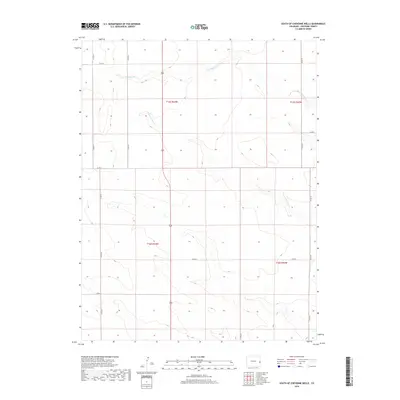
2022 Arapahoe SE
Cheyenne County, CO
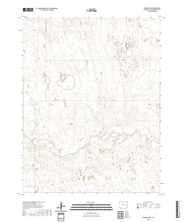
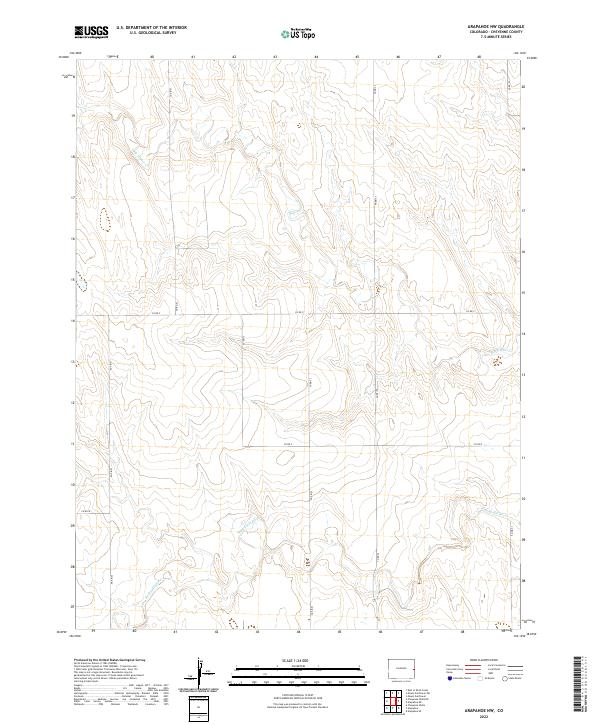
2022 Arsenic Lake
Cheyenne County, CO
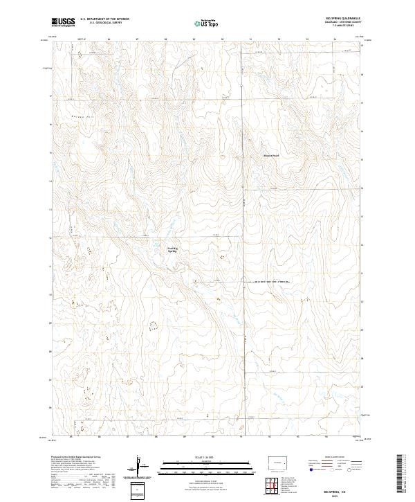
2022 Big Spring
Cheyenne County, CO
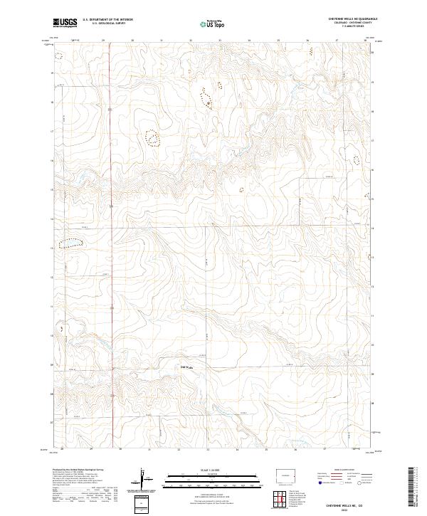
2022 Cheyenne Wells NE
Cheyenne County, CO
2022 Cheyenne Wells NW
Cheyenne County, CO
2022 Cheyenne Wells SW
Cheyenne County, CO
2022 Colony Township NW
Cheyenne County, CO
2022 East of Lewis Lake
Cheyenne County, CO
2022 Eureka Creek North
Cheyenne County, CO
2022 Eureka Creek South
Cheyenne County, CO
2022 Firstview
Cheyenne County, CO
2022 Galatea NE
Cheyenne County, CO
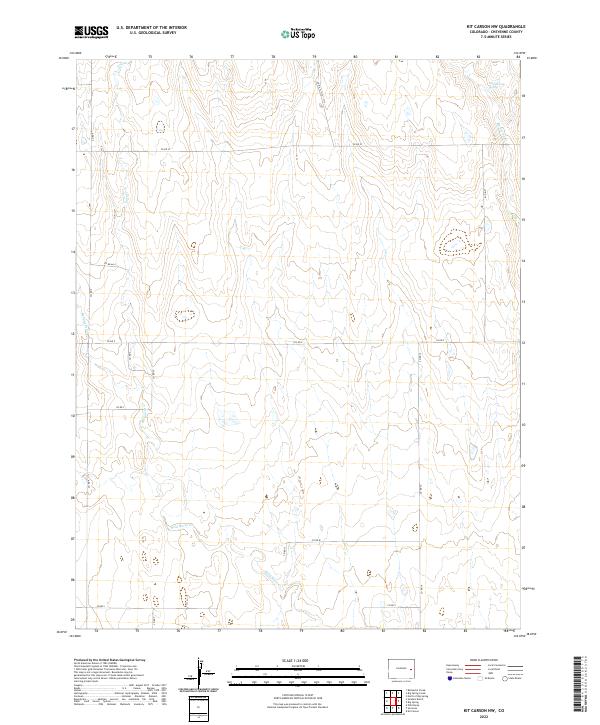
2022 Kit Carson NW
Cheyenne County, CO
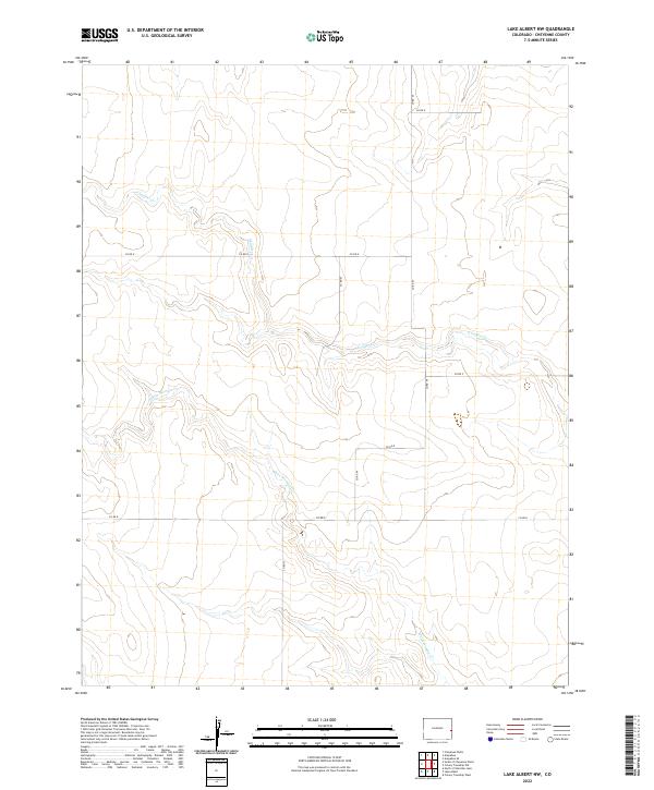
2022 Lake Albert NW
Cheyenne County, CO
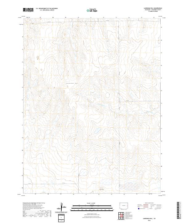
2022 Landsman Hill
Cheyenne County, CO
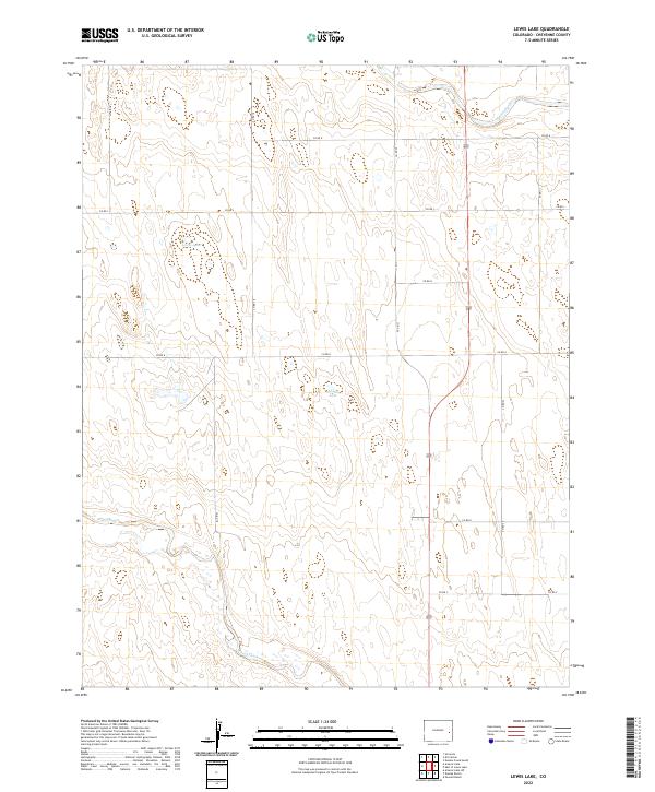
2022 Lewis Lake
Cheyenne County, CO
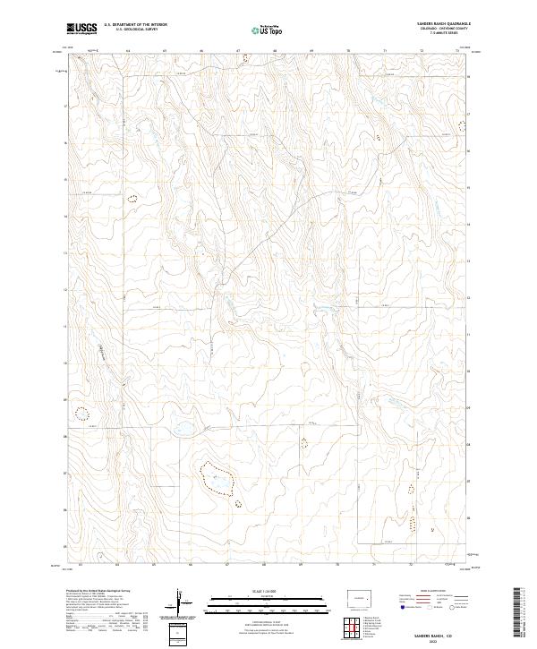
2022 Sanders Ranch
Cheyenne County, CO
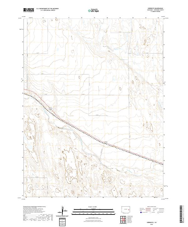
2022 Sorrento
Cheyenne County, CO
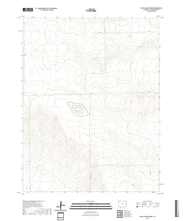
2022 South Ladder Creek
Cheyenne County, CO
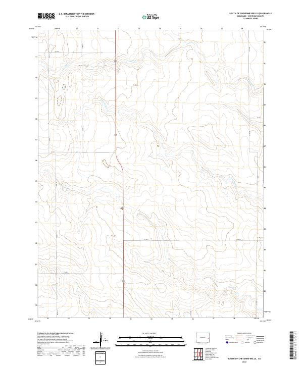
2022 South of Cheyenne Wells
Cheyenne County, CO
2022 South of Firstview
Cheyenne County, CO
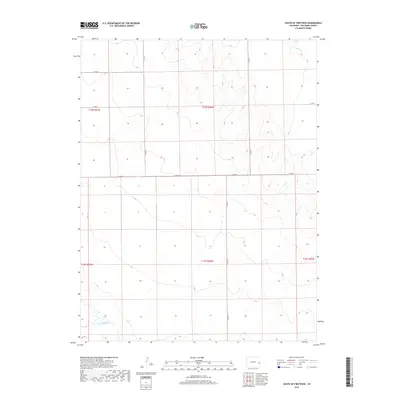
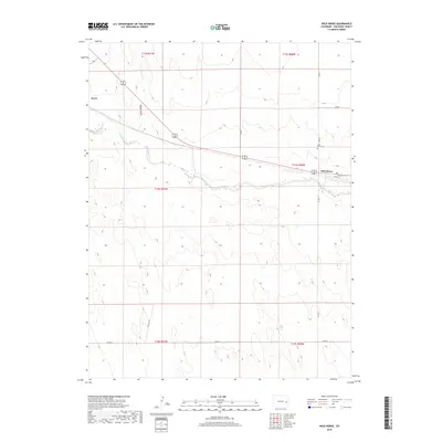
2022 Wild Horse
Cheyenne County, CO