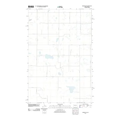
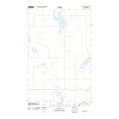
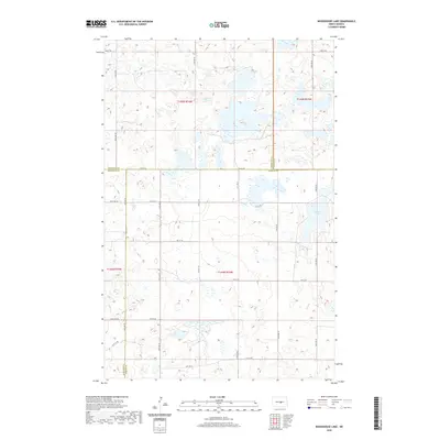
2024 Map of Horsehead Lake
USGS Topo · Published 2024About this map
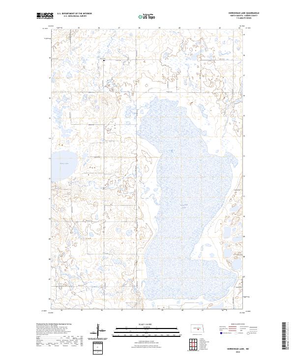
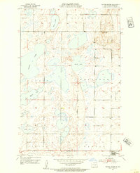
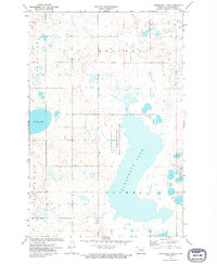
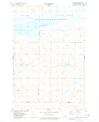
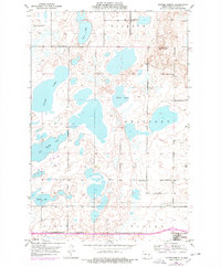
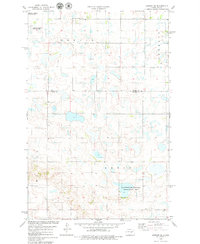
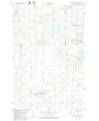
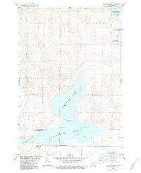
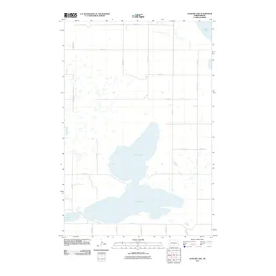
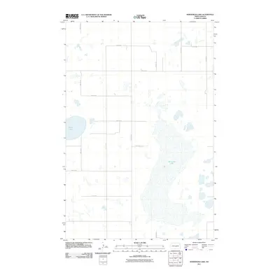
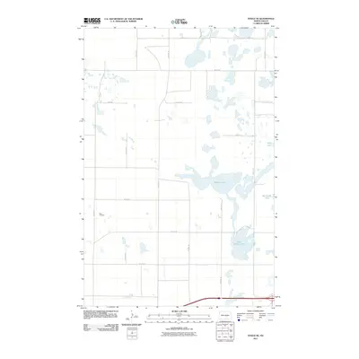
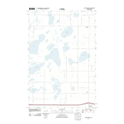
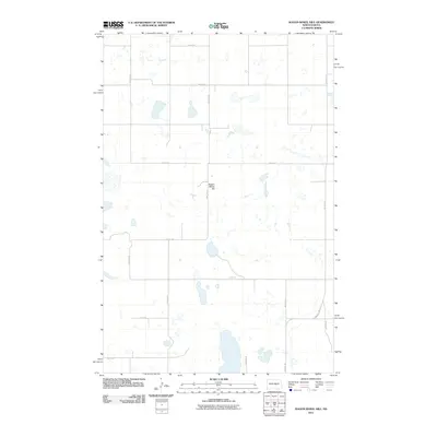
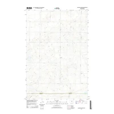
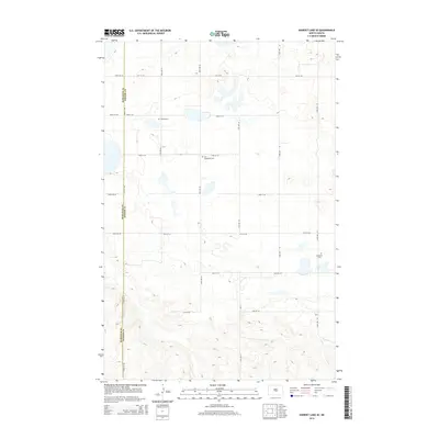
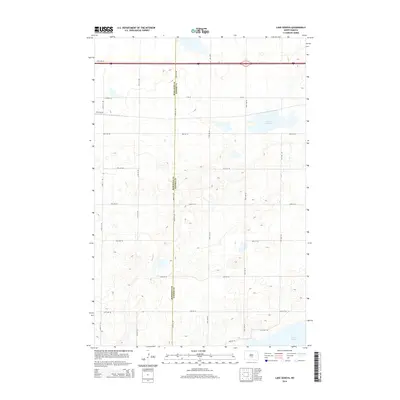
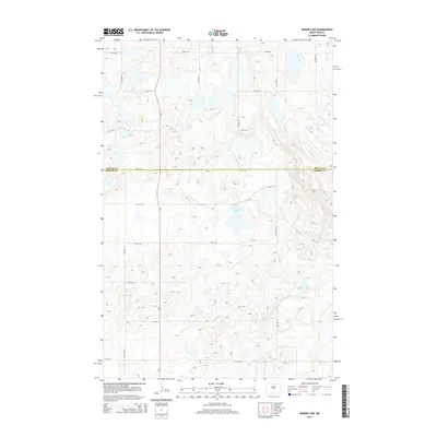
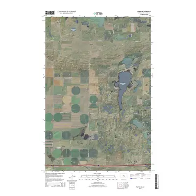
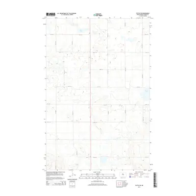
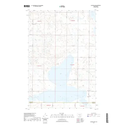
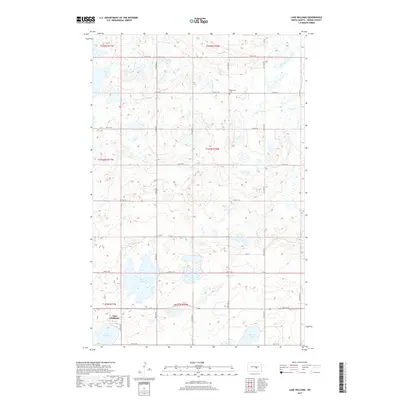
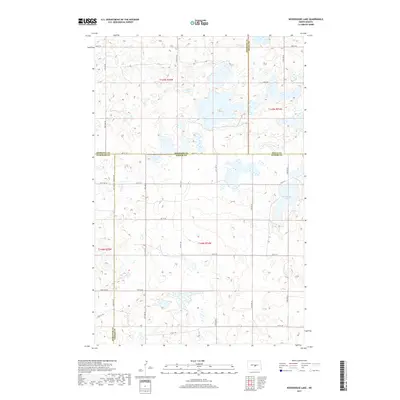
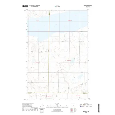
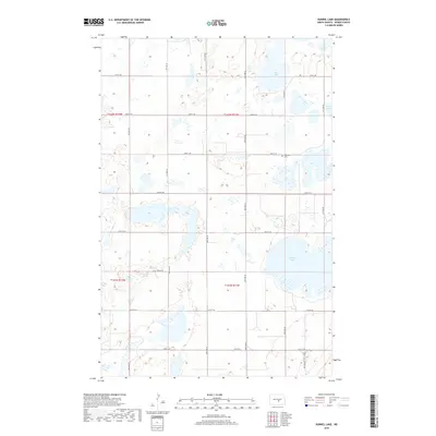
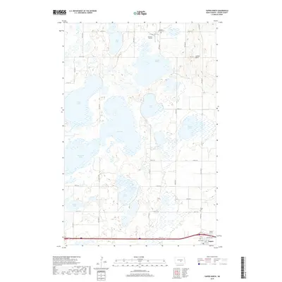
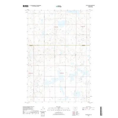
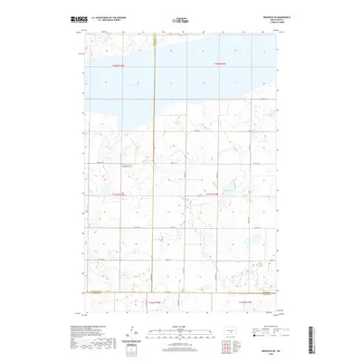
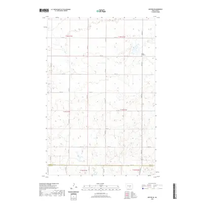
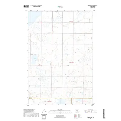
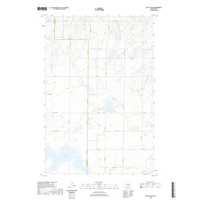
Horsehead Lake dominates the central topography of this section of Kidder County, appearing as a massive, elongated basin surrounded by the characteristic prairie wetlands of the region. This 2024 survey captures the landscape's reliance on a precise grid of section lines, including 22nd St SE and 32nd Ave SE, which define the agricultural and conservation boundaries of the area. A significant portion of the eastern shoreline is preserved within the Kidder County Waterfowl Production Area, reflecting the importance of this terrain for migratory species. Smaller bodies of water like Cherry Lake dot the western reaches, while the isolated Kleve Cem near the northern border offers a specific point of interest for genealogists tracing early families in this rural township. The map illustrates a modern balance between maintained section roads and the natural hydrology of the North Dakota plains.
Find a feature on this map
22 named features on this map. Tap any name to fly to it.
Don’t see what you’re looking for? This feature index may not catch every label — zoom into the map to look around manually.
Map Details
Editions of this 2024 Horsehead Lake Map
This is the sole edition of this map. No revisions or reprints were ever made.
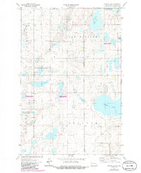
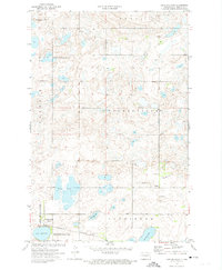
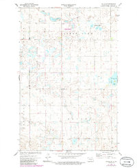
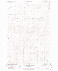
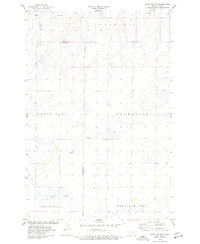
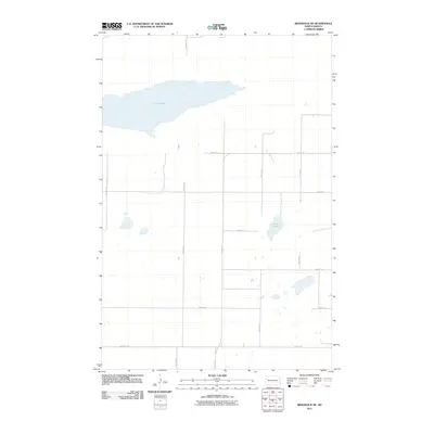
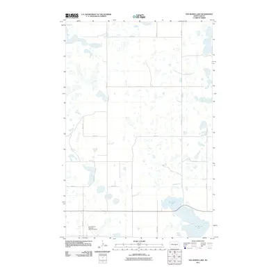
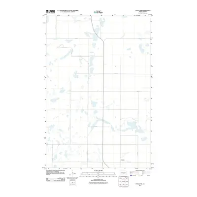
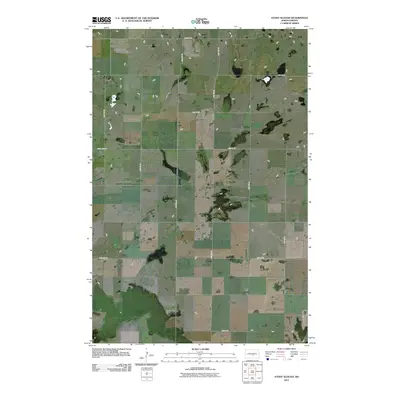
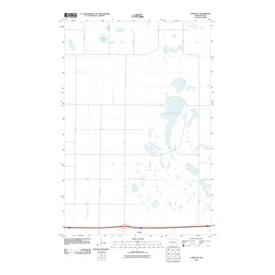
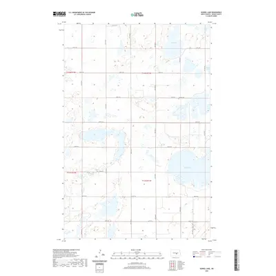
Historical Maps of Kidder County Through Time
150 maps found
1952 Steele NE
Kidder County, ND
1952 Steele NW
Kidder County, ND
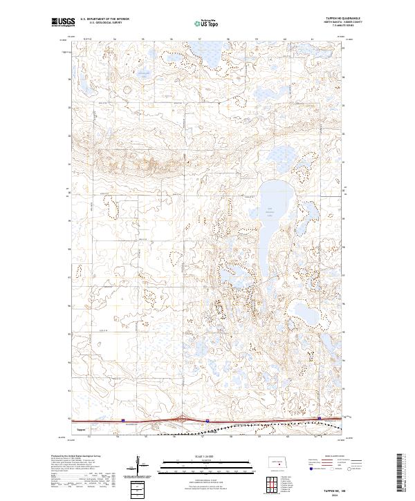
1952 Tappen NE
Kidder County, ND
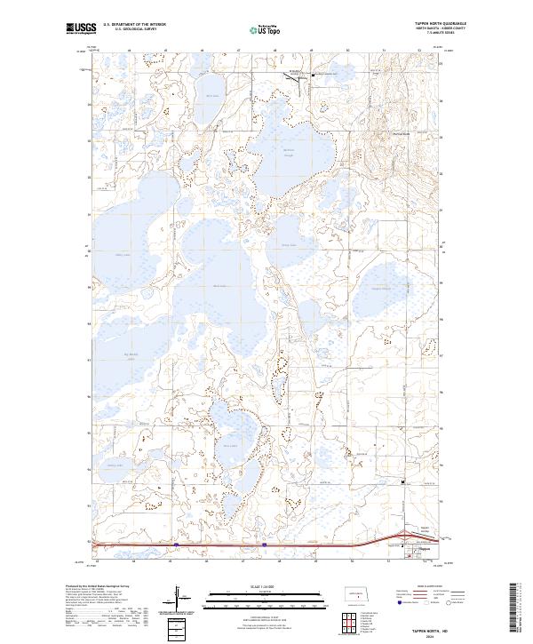
1952 Tappen North
Kidder County, ND
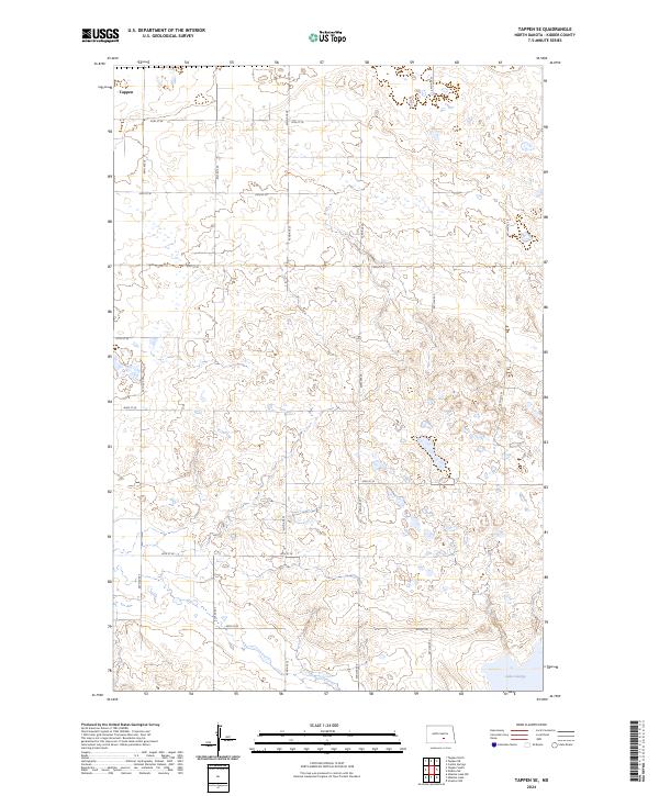
1952 Tappen SE
Kidder County, ND
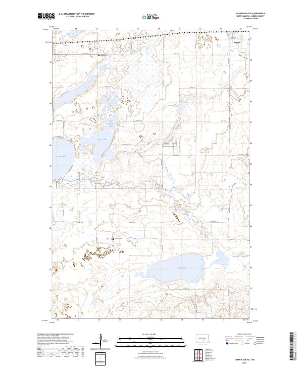
1952 Tappen South
Kidder County, ND
1972 Des Moines Lake
Kidder County, ND
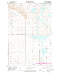
1972 Horsehead Lake
Kidder County, ND
1972 Kunkel Lake
Kidder County, ND
1972 Lake Williams
Kidder County, ND
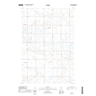
1972 Tuttle SW
Kidder County, ND
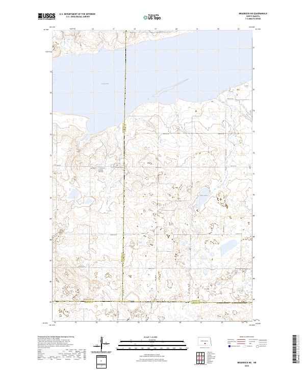
1975 Braddock NE
Kidder County, ND
1975 Lake Geneva
Kidder County, ND
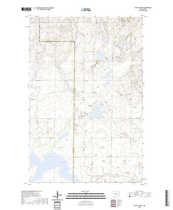
1975 Stony Slough
Kidder County, ND
1975 Tappen North
Kidder County, ND
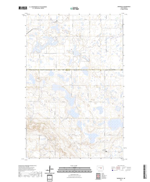
1978 Bowdon SE
Kidder County, ND
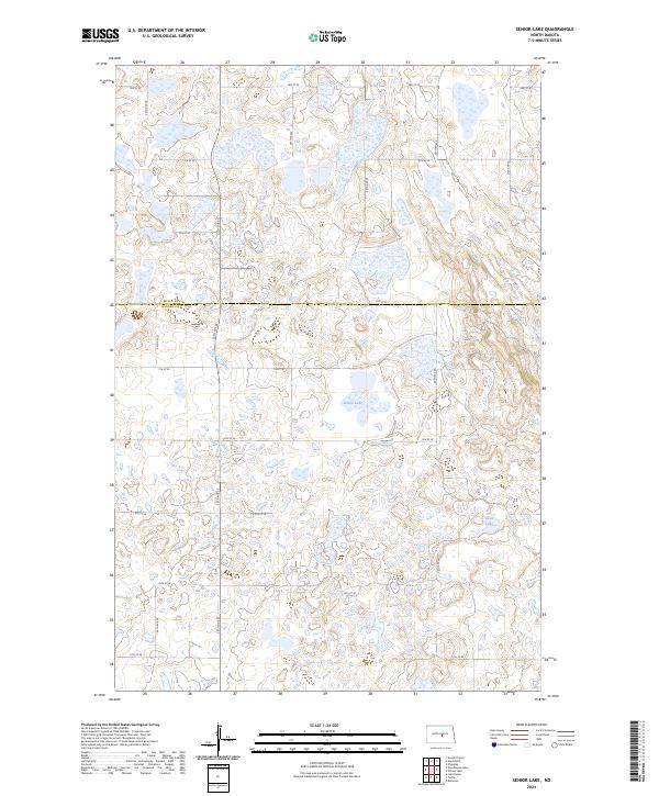
1978 Senior Lake
Kidder County, ND
1978 Wagon Wheel Hill
Kidder County, ND
1978 Willow Lake
Kidder County, ND
1978 Woodhouse Lake
Kidder County, ND
1979 Harriet Lake SE
Kidder County, ND
1979 Kintyre NE
Kidder County, ND
1979 Lake Helen
Kidder County, ND
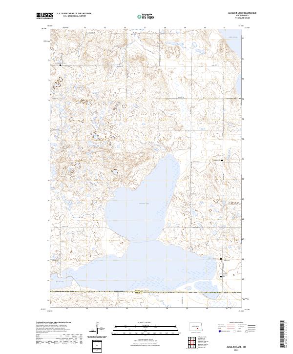
1983 Alkaline Lake
Kidder County, ND
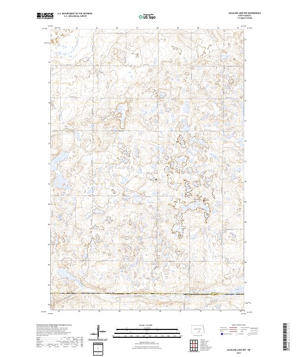
1983 Alkaline Lake NW
Kidder County, ND
2011 Alkaline Lake
Kidder County, ND
2011 Alkaline Lake NW
Kidder County, ND
2011 Bowdon SE
Kidder County, ND
2011 Braddock NE
Kidder County, ND
2011 Des Moines Lake
Kidder County, ND
2011 Harriet Lake SE
Kidder County, ND
2011 Horsehead Lake
Kidder County, ND
2011 Kintyre NE
Kidder County, ND
2011 Kunkel Lake
Kidder County, ND
2011 Lake Geneva
Kidder County, ND
2011 Lake Helen
Kidder County, ND
2011 Lake Williams
Kidder County, ND
2011 Pursian Lake
Kidder County, ND
2011 Senior Lake
Kidder County, ND
2011 Steele NE
Kidder County, ND
2011 Steele NW
Kidder County, ND
2011 Stony Slough
Kidder County, ND
2011 Tappen NE
Kidder County, ND
2011 Tappen North
Kidder County, ND
2011 Tappen SE
Kidder County, ND
2011 Tappen South
Kidder County, ND
2011 Tuttle SW
Kidder County, ND
2011 Wagon Wheel Hill
Kidder County, ND
2011 Willow Lake
Kidder County, ND
2011 Woodhouse Lake
Kidder County, ND
2014 Alkaline Lake
Kidder County, ND
2014 Alkaline Lake NW
Kidder County, ND
2014 Bowdon SE
Kidder County, ND
2014 Braddock NE
Kidder County, ND
2014 Des Moines Lake
Kidder County, ND
2014 Harriet Lake SE
Kidder County, ND
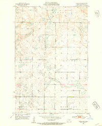
2014 Horsehead Lake
Kidder County, ND
2014 Kintyre NE
Kidder County, ND
2014 Kunkel Lake
Kidder County, ND
2014 Lake Geneva
Kidder County, ND
2014 Lake Helen
Kidder County, ND
2014 Lake Williams
Kidder County, ND
2014 Pursian Lake
Kidder County, ND
2014 Senior Lake
Kidder County, ND
2014 Steele NE
Kidder County, ND
2014 Steele NW
Kidder County, ND
2014 Stony Slough
Kidder County, ND
2014 Tappen NE
Kidder County, ND
2014 Tappen North
Kidder County, ND
2014 Tappen SE
Kidder County, ND
2014 Tappen South
Kidder County, ND
2014 Tuttle SW
Kidder County, ND
2014 Wagon Wheel Hill
Kidder County, ND
2014 Willow Lake
Kidder County, ND
2014 Woodhouse Lake
Kidder County, ND
2017 Alkaline Lake
Kidder County, ND
2017 Kintyre NE
Kidder County, ND
2017 Lake Geneva
Kidder County, ND
2017 Lake Helen
Kidder County, ND
2017 Lake Williams
Kidder County, ND
2017 Senior Lake
Kidder County, ND
2017 Stony Slough
Kidder County, ND
2017 Tappen NE
Kidder County, ND
2017 Tuttle SW
Kidder County, ND
2017 Woodhouse Lake
Kidder County, ND
2018 Alkaline Lake NW
Kidder County, ND
2018 Bowdon SE
Kidder County, ND
2018 Braddock NE
Kidder County, ND
2018 Des Moines Lake
Kidder County, ND
2018 Harriet Lake SE
Kidder County, ND
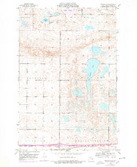
2018 Horsehead Lake
Kidder County, ND
2018 Kunkel Lake
Kidder County, ND
2018 Pursian Lake
Kidder County, ND
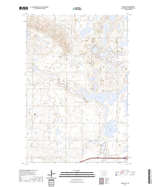
2018 Steele NE
Kidder County, ND
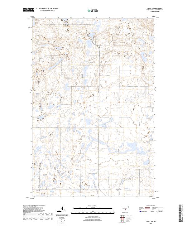
2018 Steele NW
Kidder County, ND
2018 Tappen North
Kidder County, ND
2018 Tappen SE
Kidder County, ND
2018 Tappen South
Kidder County, ND
2018 Wagon Wheel Hill
Kidder County, ND
2018 Willow Lake
Kidder County, ND
2020 Alkaline Lake
Kidder County, ND
2020 Alkaline Lake NW
Kidder County, ND
2020 Bowdon SE
Kidder County, ND
2020 Braddock NE
Kidder County, ND
2020 Des Moines Lake
Kidder County, ND
2020 Harriet Lake SE
Kidder County, ND
2020 Horsehead Lake
Kidder County, ND
2020 Kintyre NE
Kidder County, ND
2020 Kunkel Lake
Kidder County, ND
2020 Lake Geneva
Kidder County, ND
2020 Lake Helen
Kidder County, ND

2020 Lake Williams
Kidder County, ND
2020 Pursian Lake
Kidder County, ND
2020 Senior Lake
Kidder County, ND
2020 Steele NE
Kidder County, ND
2020 Steele NW
Kidder County, ND
2020 Stony Slough
Kidder County, ND
2020 Tappen NE
Kidder County, ND

2020 Tappen North
Kidder County, ND
2020 Tappen SE
Kidder County, ND
2020 Tappen South
Kidder County, ND
2020 Tuttle SW
Kidder County, ND
2020 Wagon Wheel Hill
Kidder County, ND
2020 Willow Lake
Kidder County, ND
2020 Woodhouse Lake
Kidder County, ND
2024 Alkaline Lake
Kidder County, ND
2024 Alkaline Lake NW
Kidder County, ND
2024 Bowdon SE
Kidder County, ND
2024 Braddock NE
Kidder County, ND
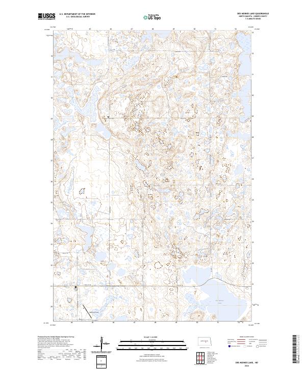
2024 Des Moines Lake
Kidder County, ND
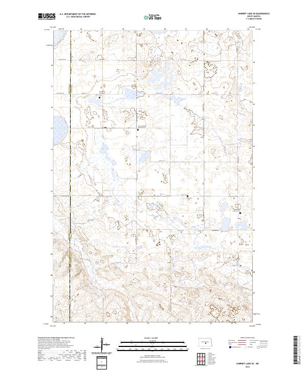
2024 Harriet Lake SE
Kidder County, ND
2024 Horsehead Lake
Kidder County, ND
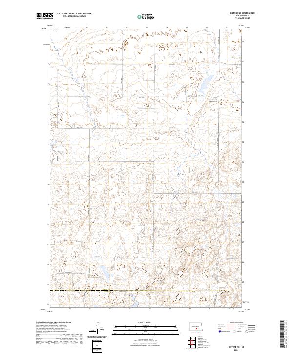
2024 Kintyre NE
Kidder County, ND
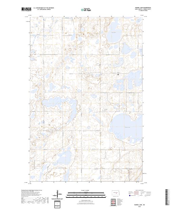
2024 Kunkel Lake
Kidder County, ND
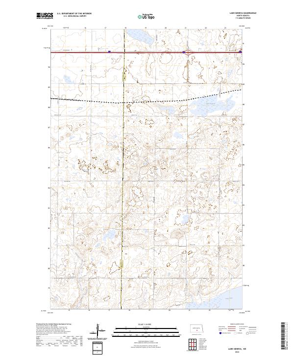
2024 Lake Geneva
Kidder County, ND
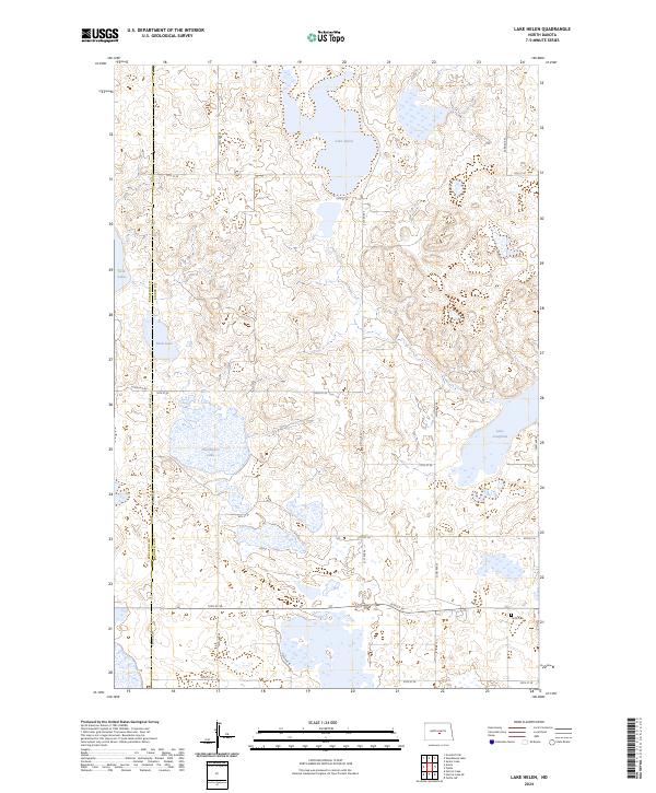
2024 Lake Helen
Kidder County, ND
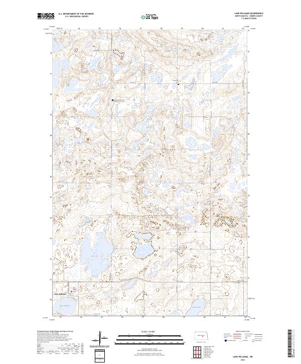
2024 Lake Williams
Kidder County, ND
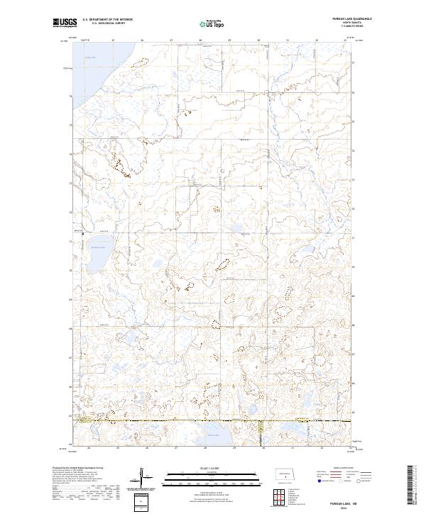
2024 Pursian Lake
Kidder County, ND
2024 Senior Lake
Kidder County, ND
2024 Steele NE
Kidder County, ND
2024 Steele NW
Kidder County, ND
2024 Stony Slough
Kidder County, ND
2024 Tappen NE
Kidder County, ND
2024 Tappen North
Kidder County, ND
2024 Tappen SE
Kidder County, ND
2024 Tappen South
Kidder County, ND
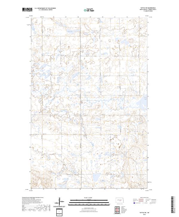
2024 Tuttle SW
Kidder County, ND
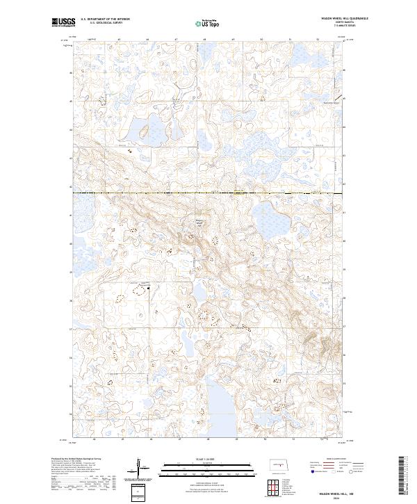
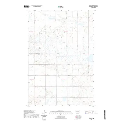
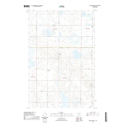
2024 Wagon Wheel Hill
Kidder County, ND
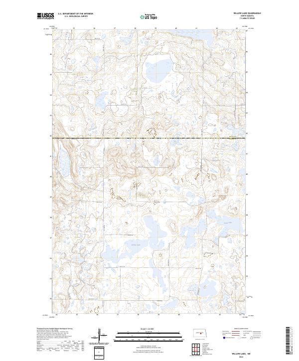
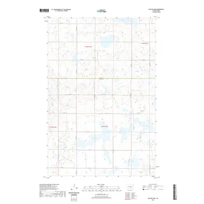
2024 Willow Lake
Kidder County, ND
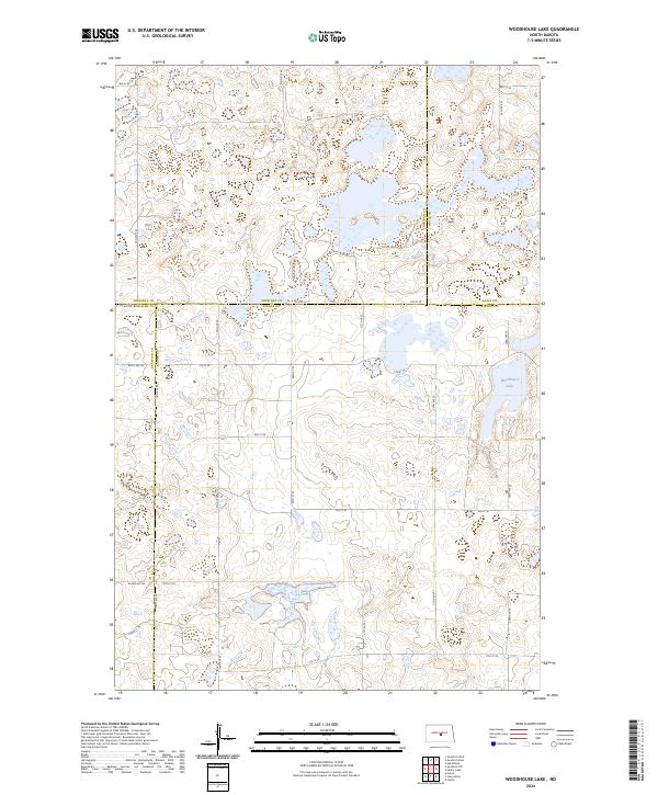
2024 Woodhouse Lake
Kidder County, ND