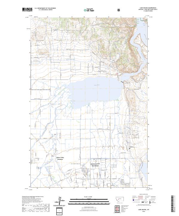
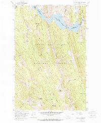
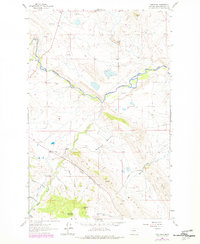
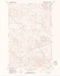
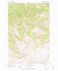
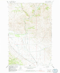
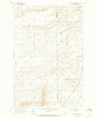
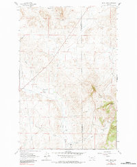
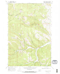
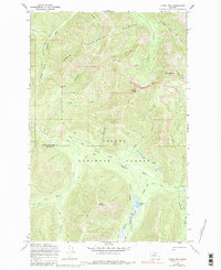
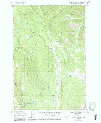
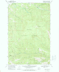
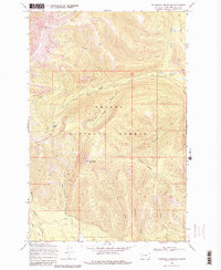
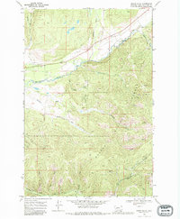
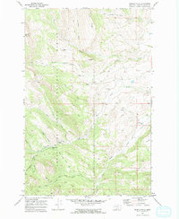
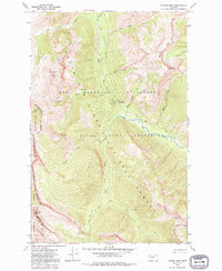
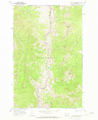
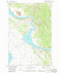
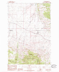
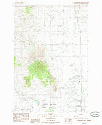
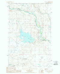
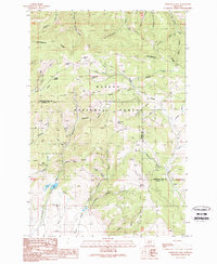
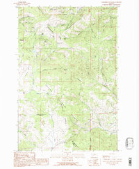
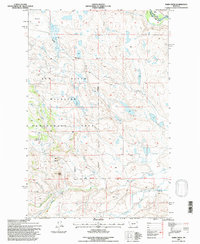
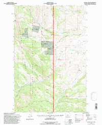
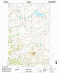
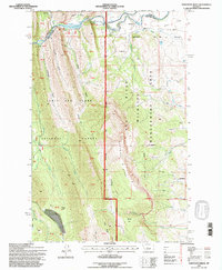
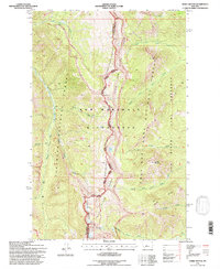
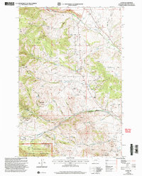
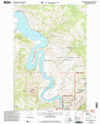
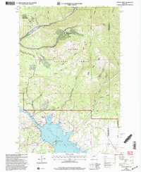
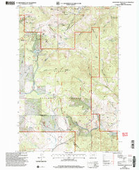
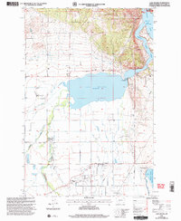
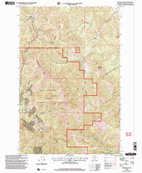
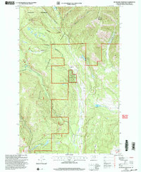
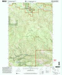
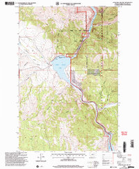
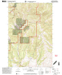
2024 Map of Lake Helena
USGS Topo · Published 2024This historical map portrays the area of Lake Helena in 2024, primarily covering Lewis and Clark County. Featuring a scale of 1:24000, this map provides a highly detailed snapshot of the terrain, roads, buildings, counties, and historical landmarks in the Lake Helena region at the time. Published in 2024, it is the sole known edition of this map.
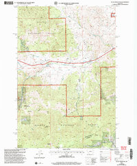
Map Details
Editions of this 2024 Lake Helena Map
This is the sole edition of this map. No revisions or reprints were ever made.
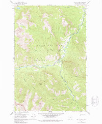
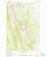
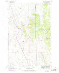
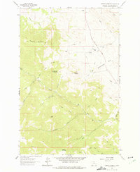
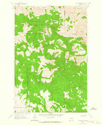
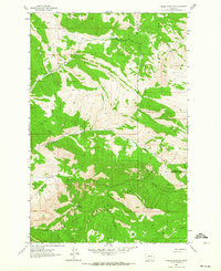
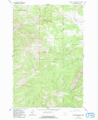
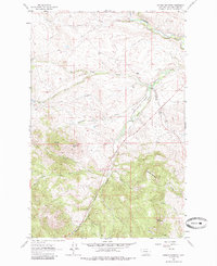
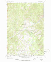
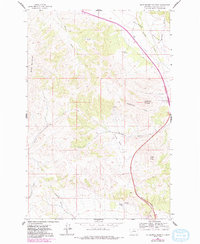
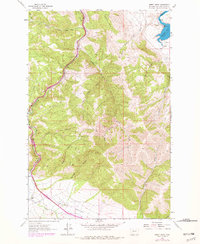
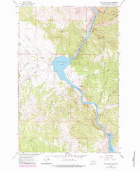
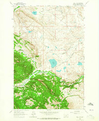
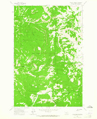
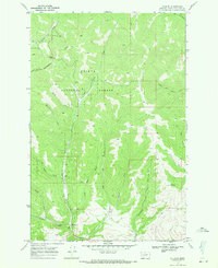
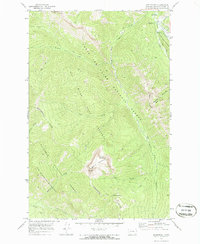
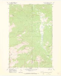
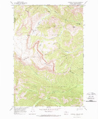
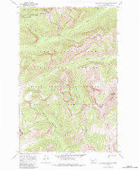
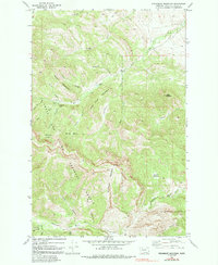
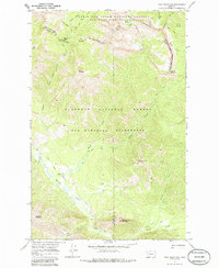
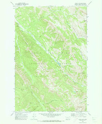
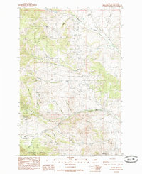
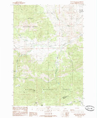
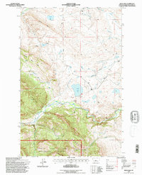
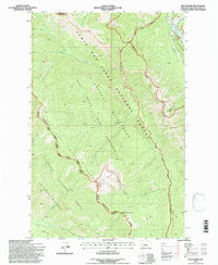
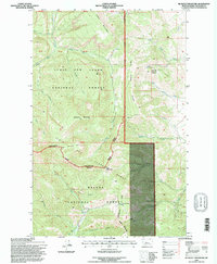
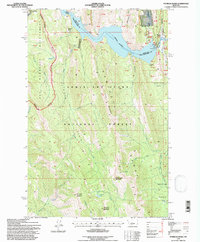
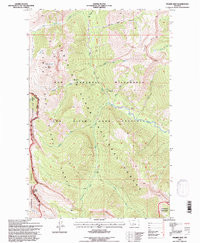
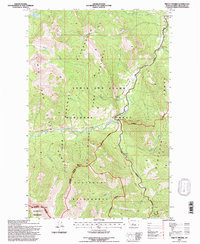
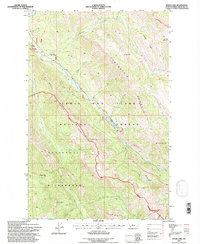
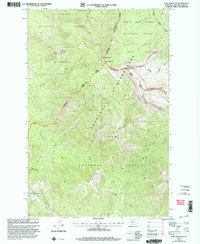
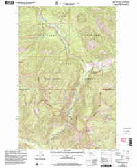
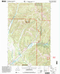
Historical Maps of Helena Valley Northeast Through Time
176 maps found

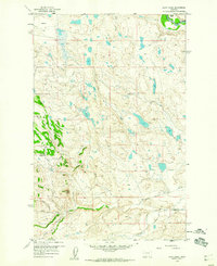
1903 Coopers Lake
Lewis and Clark County, MT

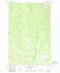
1943 Hogan
Lewis and Clark County, MT
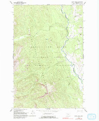
1958 Barr Creek
Lewis and Clark County, MT
1958 Gates Park
Lewis and Clark County, MT
1958 Glenn Creek
Lewis and Clark County, MT
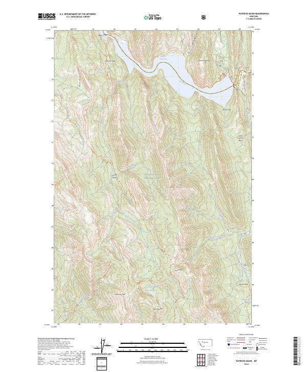
1958 Patricks Basin
Lewis and Clark County, MT
1958 Pretty Prairie
Lewis and Clark County, MT
1958 Sawtooth Ridge
Lewis and Clark County, MT
1961 Coburn Mountain
Lewis and Clark County, MT
1961 Comb Rock
Lewis and Clark County, MT
1961 Roberts Mountain
Lewis and Clark County, MT
1961 The Sawteeth
Lewis and Clark County, MT
1962 Beartooth Mountain
Lewis and Clark County, MT
1962 Bowmans Corners
Lewis and Clark County, MT
1962 Candle Mountain
Lewis and Clark County, MT
1962 Hogback Mountain
Lewis and Clark County, MT
1962 Johnson Mountain
Lewis and Clark County, MT
1962 Mitchell Mountain
Lewis and Clark County, MT
1962 Nelson
Lewis and Clark County, MT
1962 Rattlesnake Mountain
Lewis and Clark County, MT
1962 Sheep Creek
Lewis and Clark County, MT
1962 Silver City
Lewis and Clark County, MT
1962 Upper Holter Lake
Lewis and Clark County, MT
1963 Bean Lake
Lewis and Clark County, MT
1963 Blowout Mountain
Lewis and Clark County, MT
1963 Bowmans Corners NE
Lewis and Clark County, MT
1963 Bowmans Corners NW
Lewis and Clark County, MT
1963 Cadotte Creek
Lewis and Clark County, MT
1963 Gouchnour Ranch
Lewis and Clark County, MT
1963 Henry Creek
Lewis and Clark County, MT
1963 Krone Ranch
Lewis and Clark County, MT
1963 Rogers Pass
Lewis and Clark County, MT
1968 Caribou Peak
Lewis and Clark County, MT
1968 Granite Butte
Lewis and Clark County, MT
1968 Heart Lake
Lewis and Clark County, MT
1968 Lake Mountain
Lewis and Clark County, MT
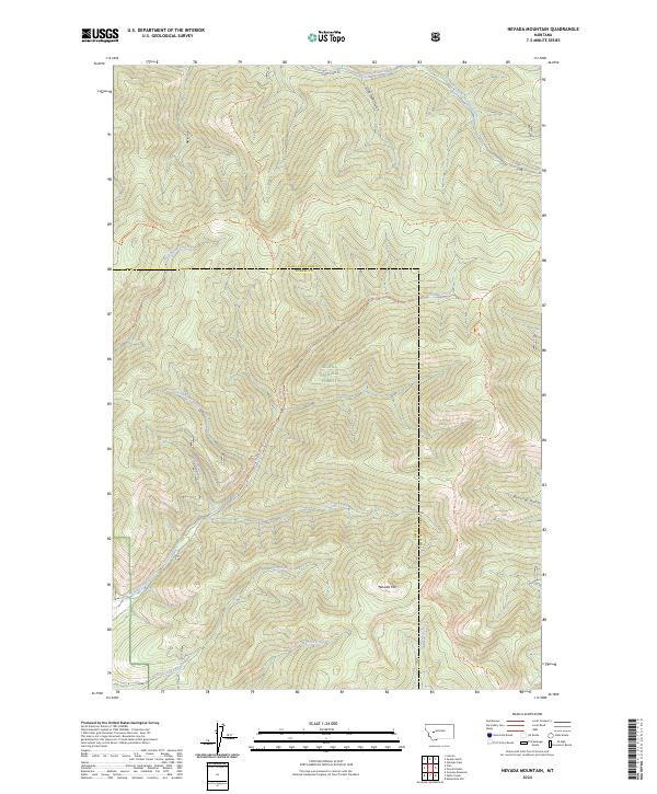
1968 Nevada Mountain
Lewis and Clark County, MT
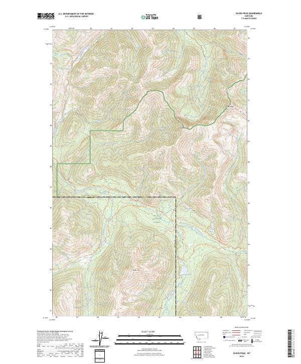
1968 Olson Peak
Lewis and Clark County, MT
1968 Silver King Mountain
Lewis and Clark County, MT
1968 Stemple Pass
Lewis and Clark County, MT
1968 Stonewall Mountain
Lewis and Clark County, MT
1968 Swede Gulch
Lewis and Clark County, MT
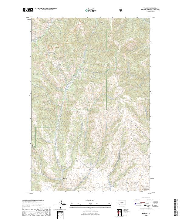
1968 Wilborn
Lewis and Clark County, MT
1970 Benchmark
Lewis and Clark County, MT
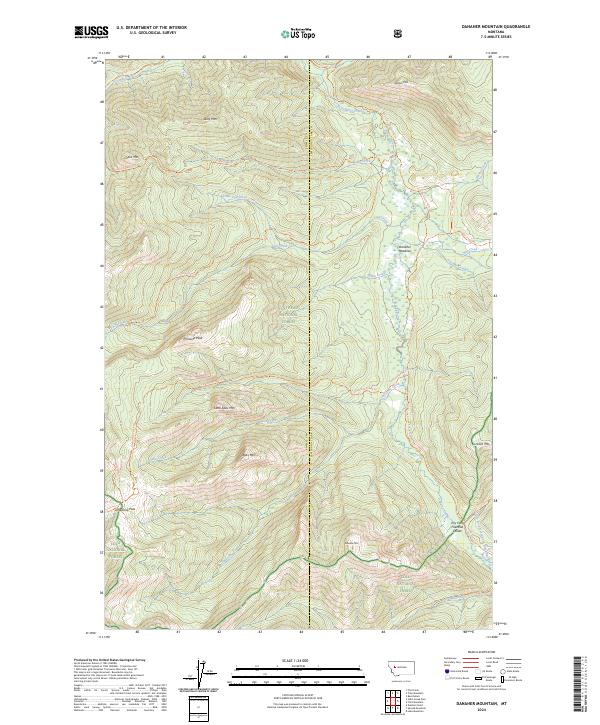
1970 Danaher Mountain
Lewis and Clark County, MT
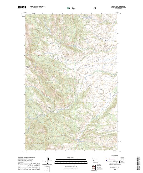
1970 Double Falls
Lewis and Clark County, MT
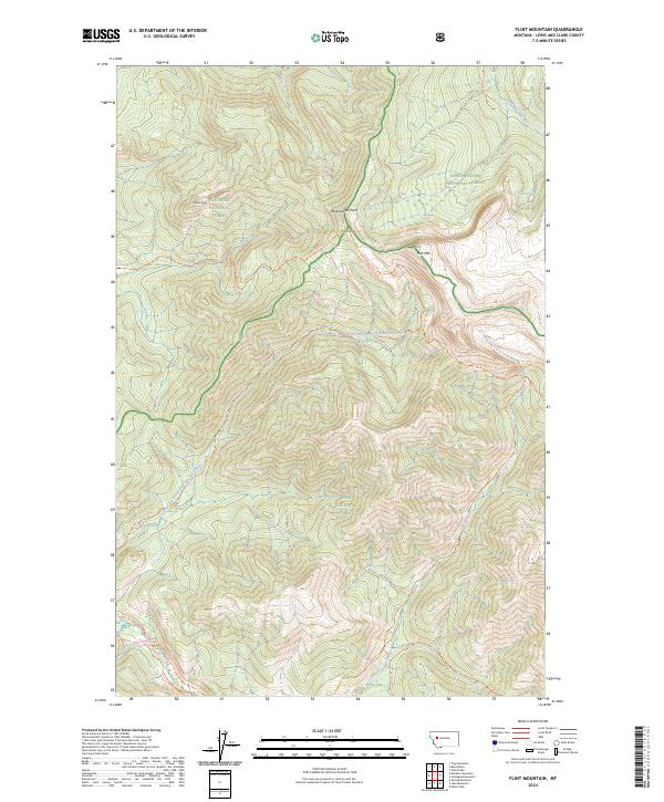
1970 Flint Mountain
Lewis and Clark County, MT
1970 Jakie Creek
Lewis and Clark County, MT
1970 Nilan Reservoir
Lewis and Clark County, MT
1970 Prairie Reef
Lewis and Clark County, MT
1970 Scapegoat Mountain
Lewis and Clark County, MT
1970 Slategoat Mountain
Lewis and Clark County, MT
1970 Steamboat Mountain
Lewis and Clark County, MT
1970 Three Sisters
Lewis and Clark County, MT
1970 Trap Mountain
Lewis and Clark County, MT
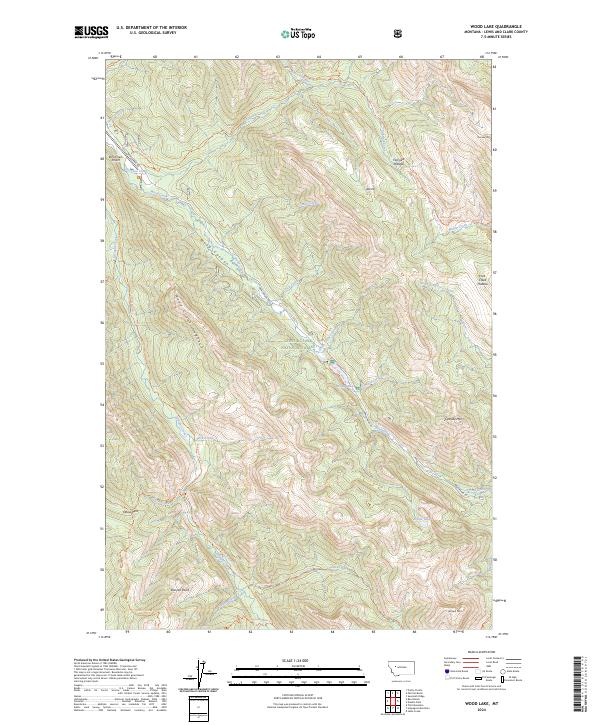
1970 Wood Lake
Lewis and Clark County, MT
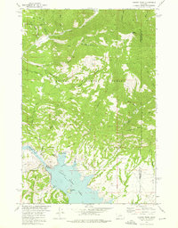
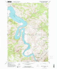
1972 Canyon Ferry
Lewis and Clark County, MT
1972 Hauser Lake
Lewis and Clark County, MT
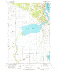
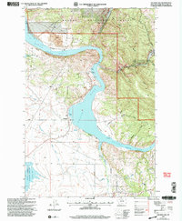
1972 Lake Helena
Lewis and Clark County, MT
1985 Austin
Lewis and Clark County, MT
1985 Black Mountain
Lewis and Clark County, MT
1985 Louisville
Lewis and Clark County, MT
1985 Scratchgravel Hills
Lewis and Clark County, MT
1986 Split Rock Junction
Lewis and Clark County, MT
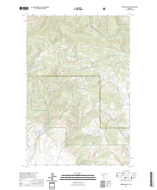
1989 Esmeralda Hill
Lewis and Clark County, MT
1989 Greenhorn Mountain
Lewis and Clark County, MT
1993 Dearborn River
Lewis and Clark County, MT
1994 Danaher Mountain
Lewis and Clark County, MT
1994 Trap Mountain
Lewis and Clark County, MT
1995 Barr Creek
Lewis and Clark County, MT
1995 Bean Lake
Lewis and Clark County, MT
1995 Benchmark
Lewis and Clark County, MT
1995 Blowout Mountain
Lewis and Clark County, MT
1995 Double Falls
Lewis and Clark County, MT
1995 Gates Park
Lewis and Clark County, MT
1995 Glenn Creek
Lewis and Clark County, MT
1995 Jakie Creek
Lewis and Clark County, MT
1995 Nilan Reservoir
Lewis and Clark County, MT
1995 Patricks Basin
Lewis and Clark County, MT
1995 Prairie Reef
Lewis and Clark County, MT
1995 Pretty Prairie
Lewis and Clark County, MT
1995 Sawtooth Ridge
Lewis and Clark County, MT
1995 Scapegoat Mountain
Lewis and Clark County, MT
1995 Slategoat Mountain
Lewis and Clark County, MT
1995 Steamboat Mountain
Lewis and Clark County, MT
1995 Three Sisters
Lewis and Clark County, MT
1995 Wood Lake
Lewis and Clark County, MT
1999 Flint Mountain
Lewis and Clark County, MT
1999 Lake Mountain
Lewis and Clark County, MT
2001 Austin
Lewis and Clark County, MT
2001 Beartooth Mountain
Lewis and Clark County, MT
2001 Black Mountain
Lewis and Clark County, MT
2001 Cadotte Creek
Lewis and Clark County, MT
2001 Canyon Ferry
Lewis and Clark County, MT
2001 Caribou Peak
Lewis and Clark County, MT
2001 Esmeralda Hill
Lewis and Clark County, MT
2001 Granite Butte
Lewis and Clark County, MT
2001 Greenhorn Mountain
Lewis and Clark County, MT
2001 Hauser Lake
Lewis and Clark County, MT
2001 Heart Lake
Lewis and Clark County, MT
2001 Hogback Mountain
Lewis and Clark County, MT
2001 Lake Helena
Lewis and Clark County, MT
2001 Louisville
Lewis and Clark County, MT

2001 Nelson
Lewis and Clark County, MT
2001 Nevada Mountain
Lewis and Clark County, MT
2001 Olson Peak
Lewis and Clark County, MT
2001 Rogers Pass
Lewis and Clark County, MT
2001 Silver King Mountain
Lewis and Clark County, MT
2001 Stemple Pass
Lewis and Clark County, MT

2001 Swede Gulch
Lewis and Clark County, MT
2001 Upper Holter Lake
Lewis and Clark County, MT
2001 Wilborn
Lewis and Clark County, MT
2024 Austin
Lewis and Clark County, MT
2024 Barr Creek
Lewis and Clark County, MT
2024 Bean Lake
Lewis and Clark County, MT
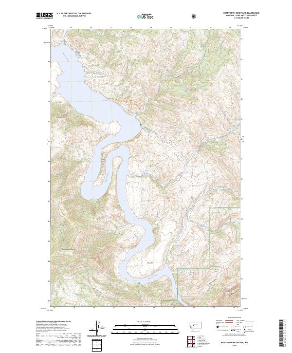
2024 Beartooth Mountain
Lewis and Clark County, MT
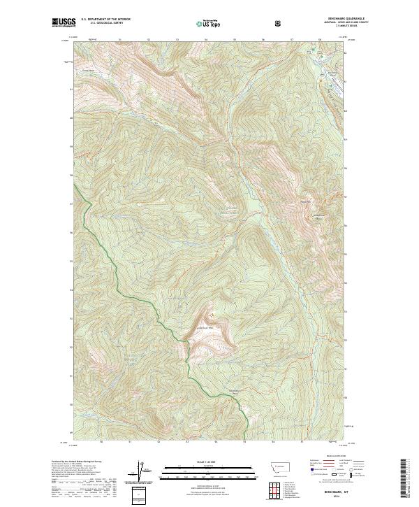
2024 Benchmark
Lewis and Clark County, MT

2024 Black Mountain
Lewis and Clark County, MT
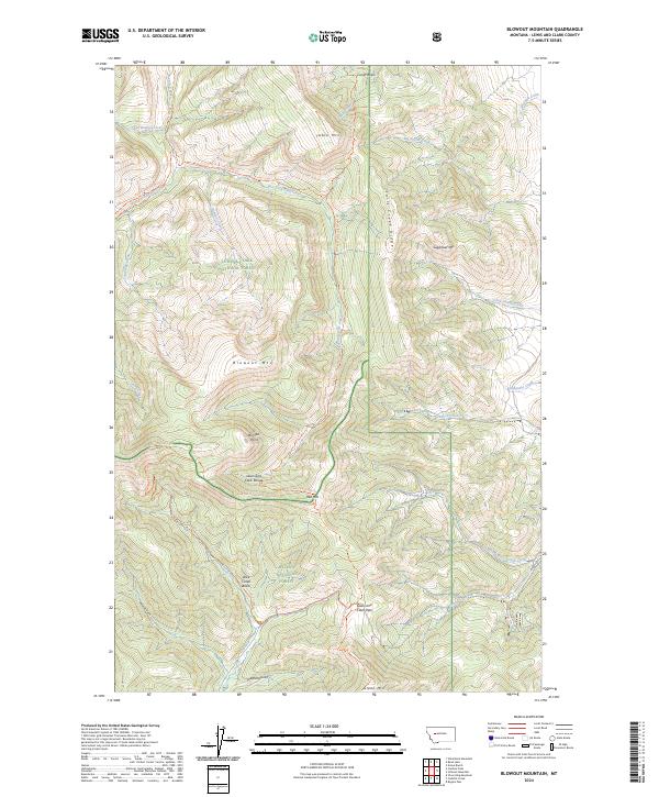
2024 Blowout Mountain
Lewis and Clark County, MT
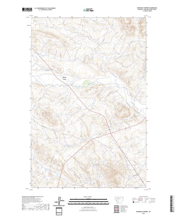
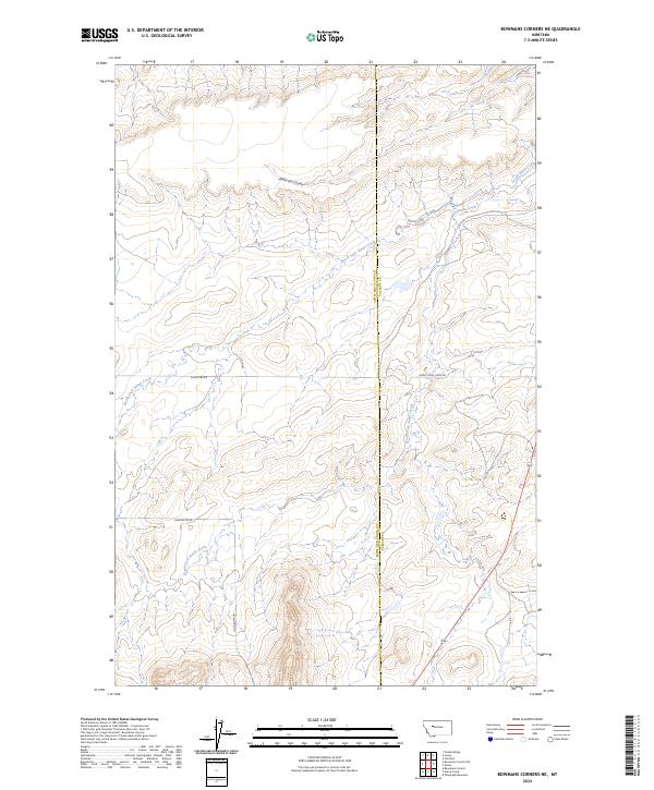
2024 Bowmans Corners
Lewis and Clark County, MT
2024 Bowmans Corners NE
Lewis and Clark County, MT
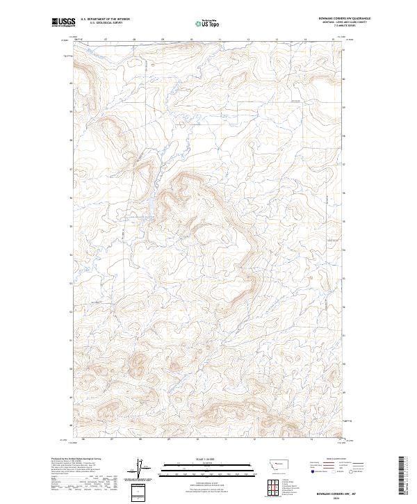
2024 Bowmans Corners NW
Lewis and Clark County, MT
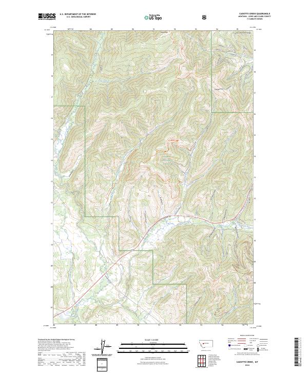
2024 Cadotte Creek
Lewis and Clark County, MT
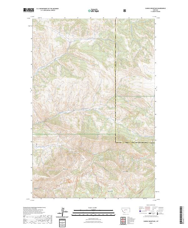
2024 Candle Mountain
Lewis and Clark County, MT
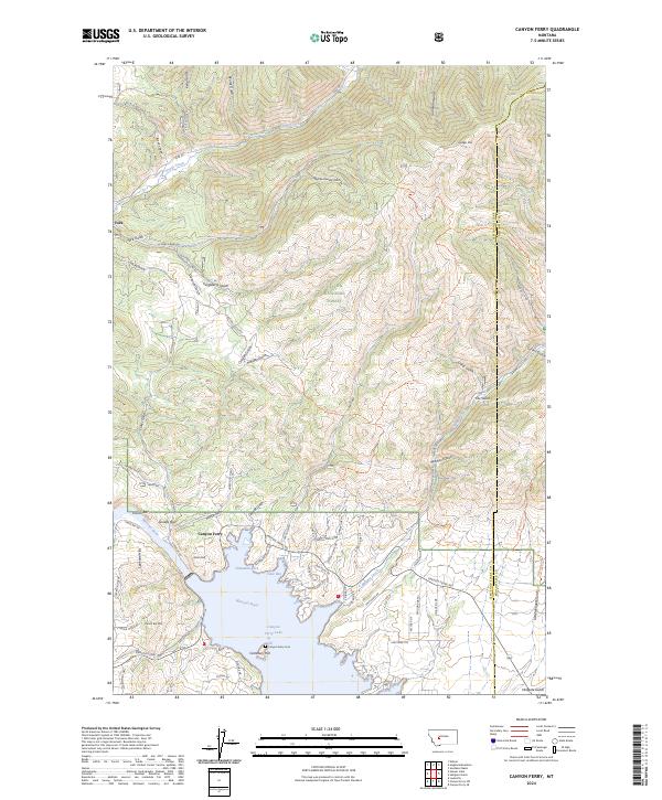
2024 Canyon Ferry
Lewis and Clark County, MT
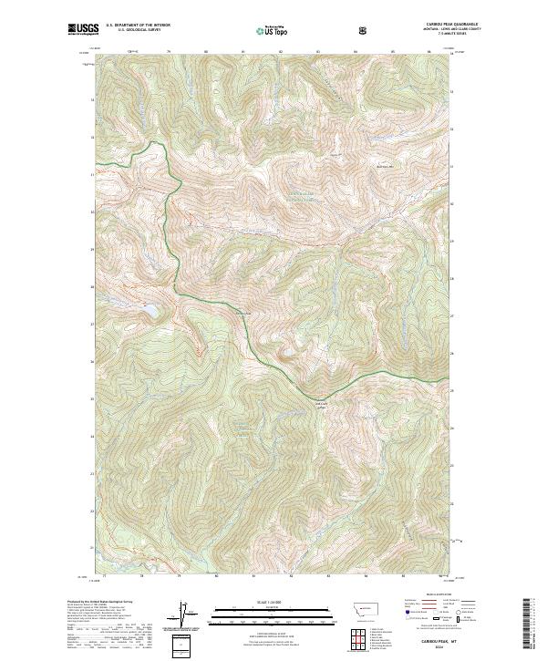
2024 Caribou Peak
Lewis and Clark County, MT
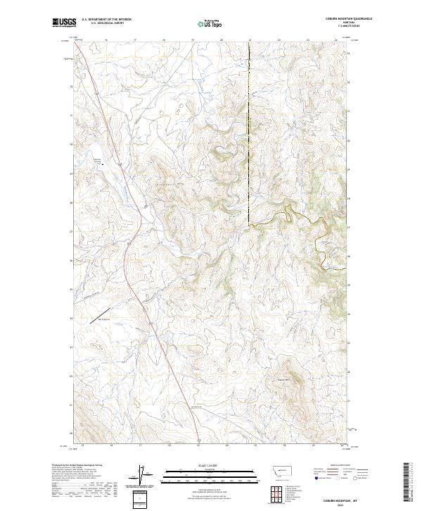
2024 Coburn Mountain
Lewis and Clark County, MT
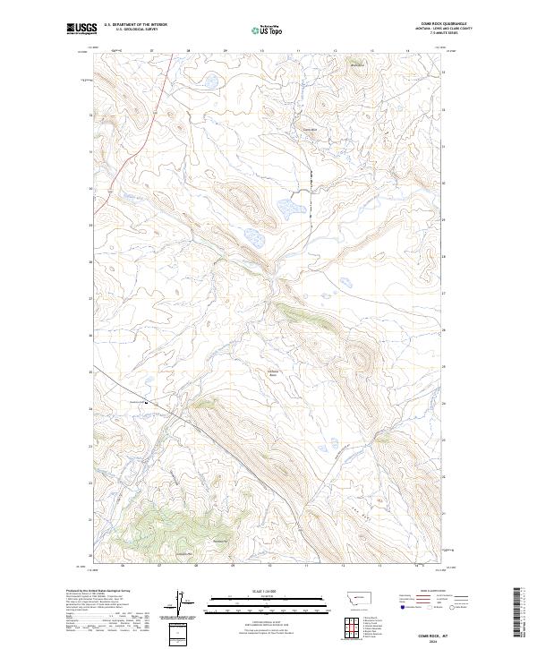
2024 Comb Rock
Lewis and Clark County, MT
2024 Danaher Mountain
Lewis and Clark County, MT
2024 Double Falls
Lewis and Clark County, MT
2024 Esmeralda Hill
Lewis and Clark County, MT
2024 Flint Mountain
Lewis and Clark County, MT
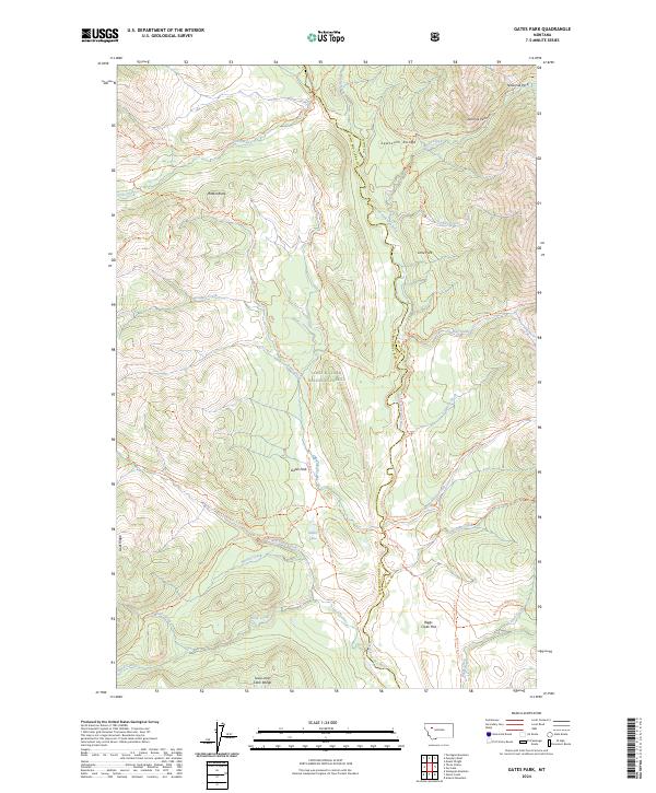
2024 Gates Park
Lewis and Clark County, MT
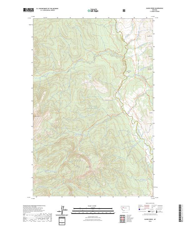
2024 Glenn Creek
Lewis and Clark County, MT
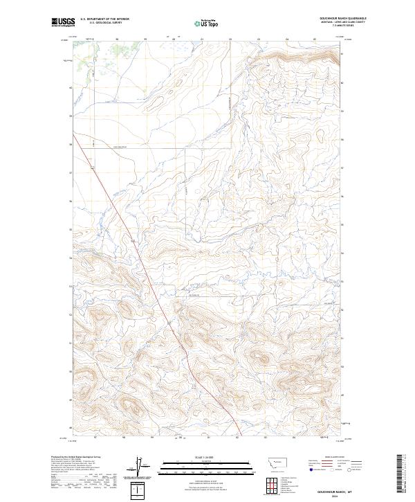
2024 Gouchnour Ranch
Lewis and Clark County, MT
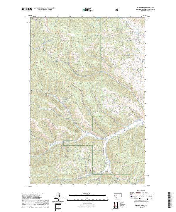
2024 Granite Butte
Lewis and Clark County, MT
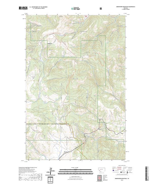
2024 Greenhorn Mountain
Lewis and Clark County, MT
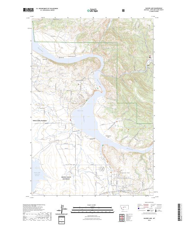
2024 Hauser Lake
Lewis and Clark County, MT
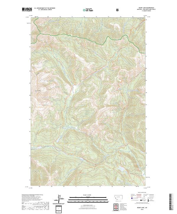
2024 Heart Lake
Lewis and Clark County, MT
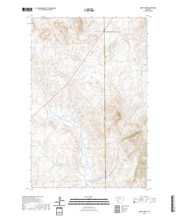
2024 Henry Creek
Lewis and Clark County, MT
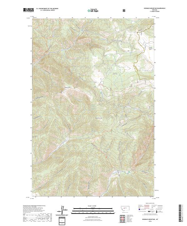
2024 Hogback Mountain
Lewis and Clark County, MT
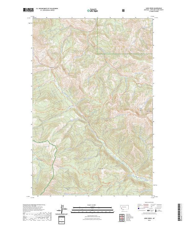
2024 Jakie Creek
Lewis and Clark County, MT
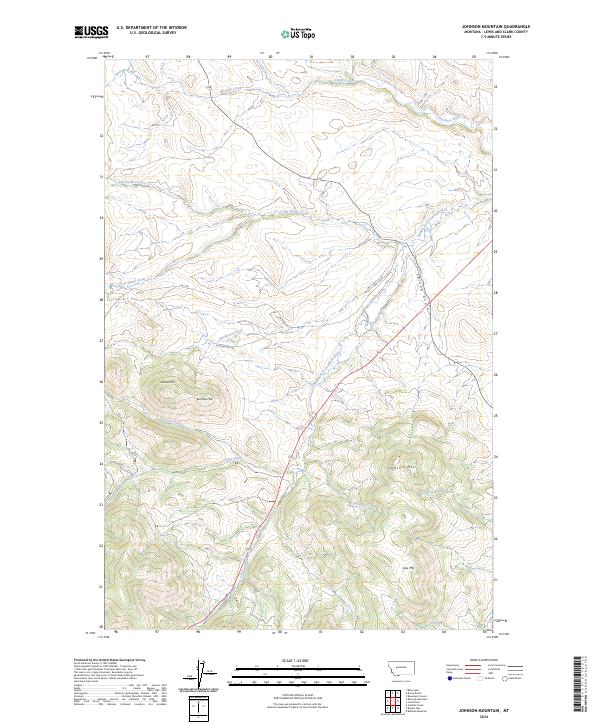
2024 Johnson Mountain
Lewis and Clark County, MT
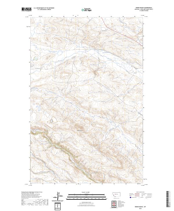
2024 Krone Ranch
Lewis and Clark County, MT
2024 Lake Helena
Lewis and Clark County, MT
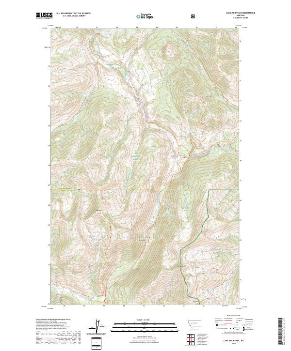
2024 Lake Mountain
Lewis and Clark County, MT
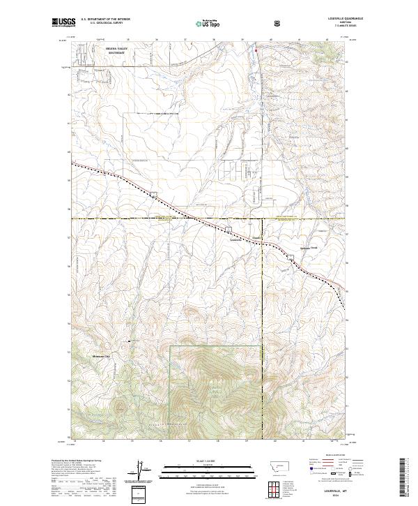
2024 Louisville
Lewis and Clark County, MT
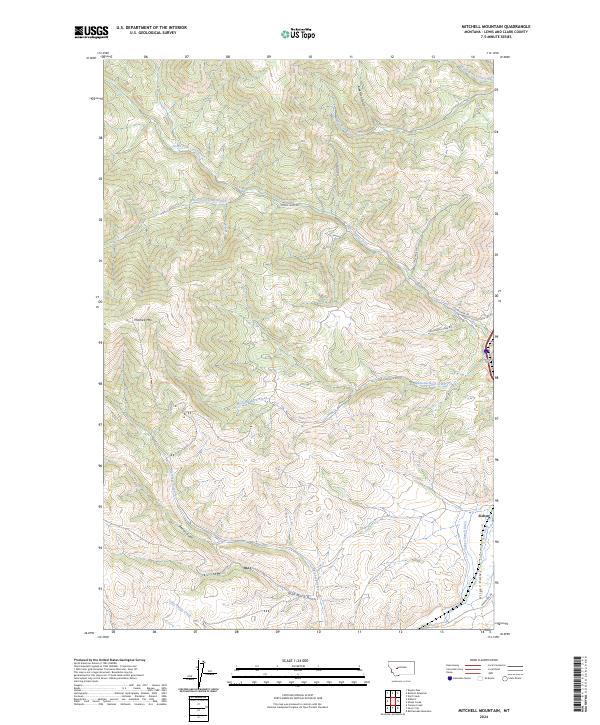
2024 Mitchell Mountain
Lewis and Clark County, MT
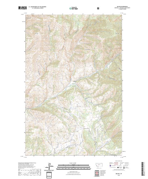
2024 Nelson
Lewis and Clark County, MT
2024 Nevada Mountain
Lewis and Clark County, MT
2024 Nilan Reservoir
Lewis and Clark County, MT
2024 Olson Peak
Lewis and Clark County, MT
2024 Patricks Basin
Lewis and Clark County, MT
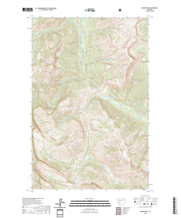
2024 Prairie Reef
Lewis and Clark County, MT
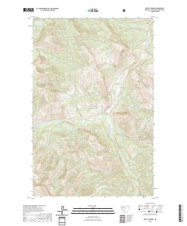
2024 Pretty Prairie
Lewis and Clark County, MT
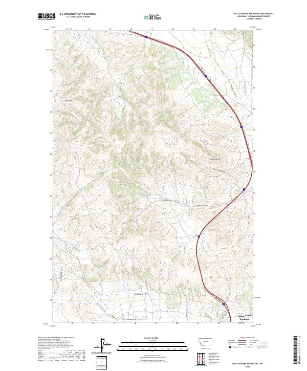
2024 Rattlesnake Mountain
Lewis and Clark County, MT
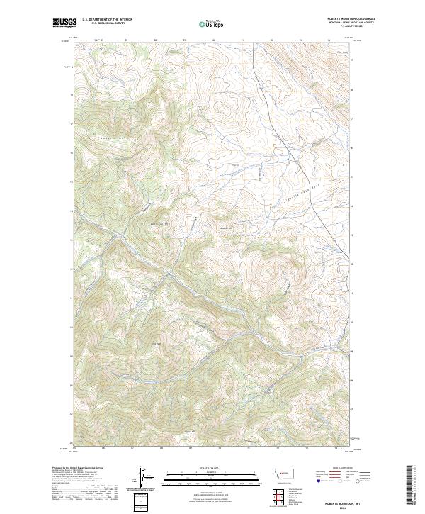
2024 Roberts Mountain
Lewis and Clark County, MT
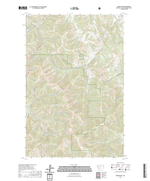
2024 Rogers Pass
Lewis and Clark County, MT
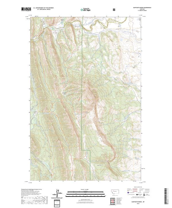
2024 Sawtooth Ridge
Lewis and Clark County, MT
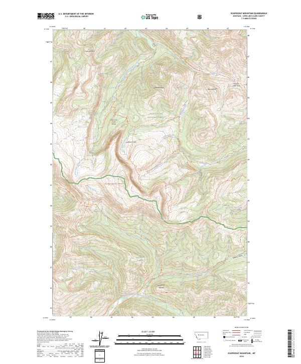
2024 Scapegoat Mountain
Lewis and Clark County, MT
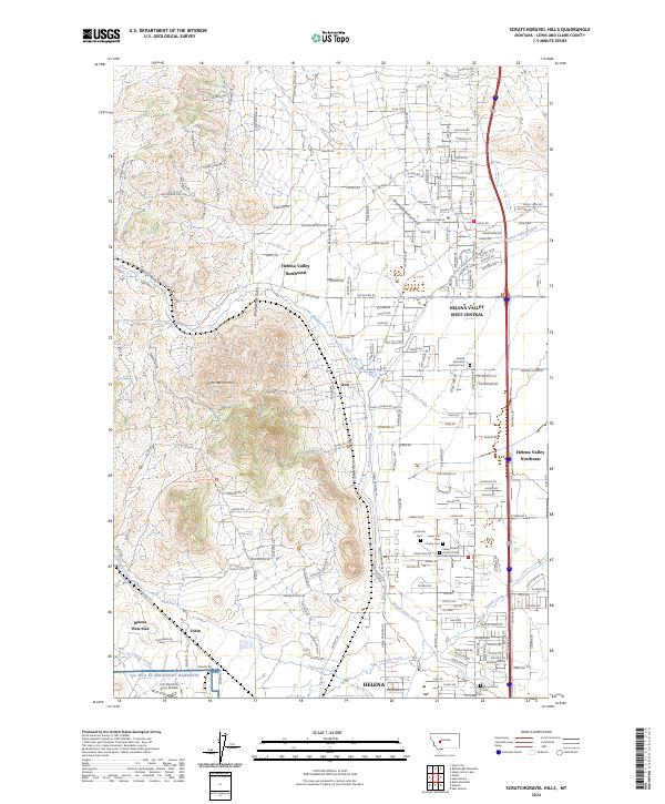
2024 Scratchgravel Hills
Lewis and Clark County, MT
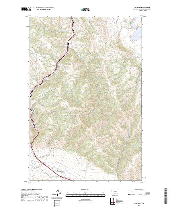
2024 Sheep Creek
Lewis and Clark County, MT
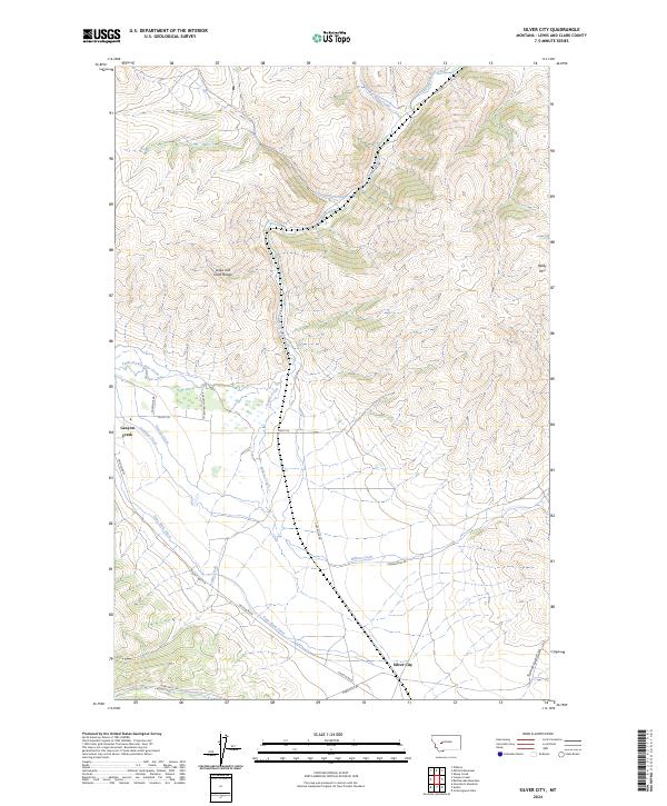
2024 Silver City
Lewis and Clark County, MT
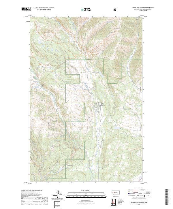
2024 Silver King Mountain
Lewis and Clark County, MT
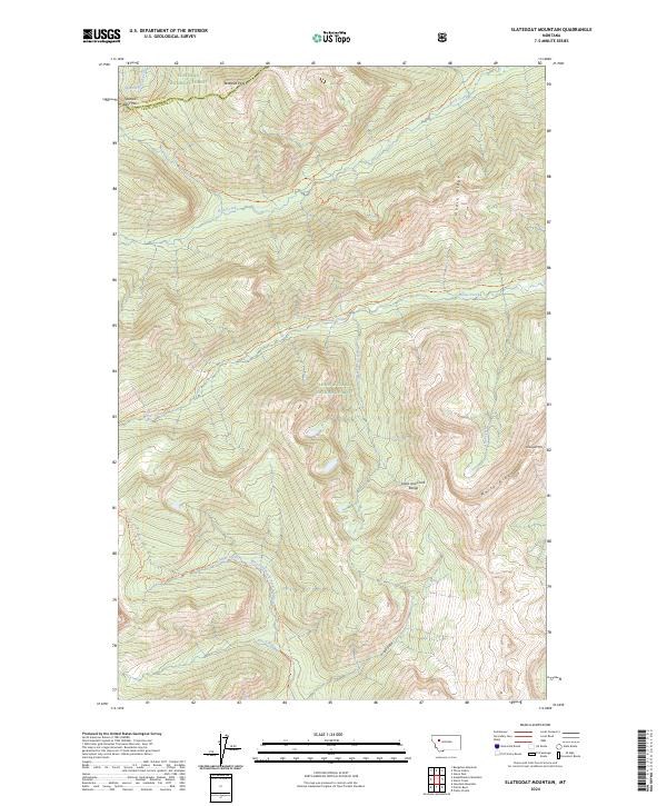
2024 Slategoat Mountain
Lewis and Clark County, MT
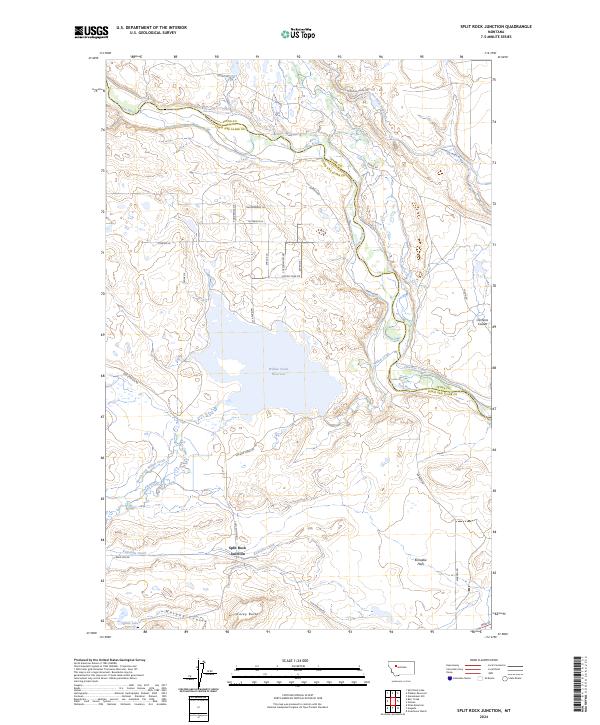
2024 Split Rock Junction
Lewis and Clark County, MT
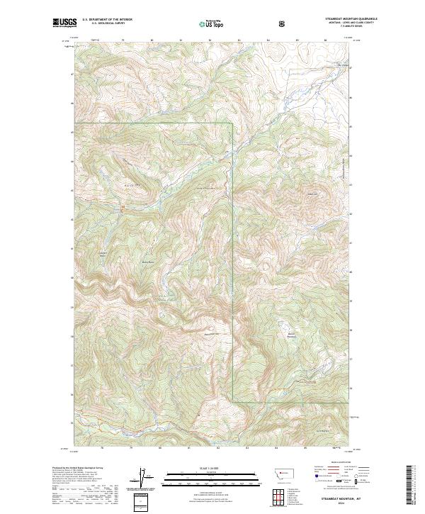
2024 Steamboat Mountain
Lewis and Clark County, MT
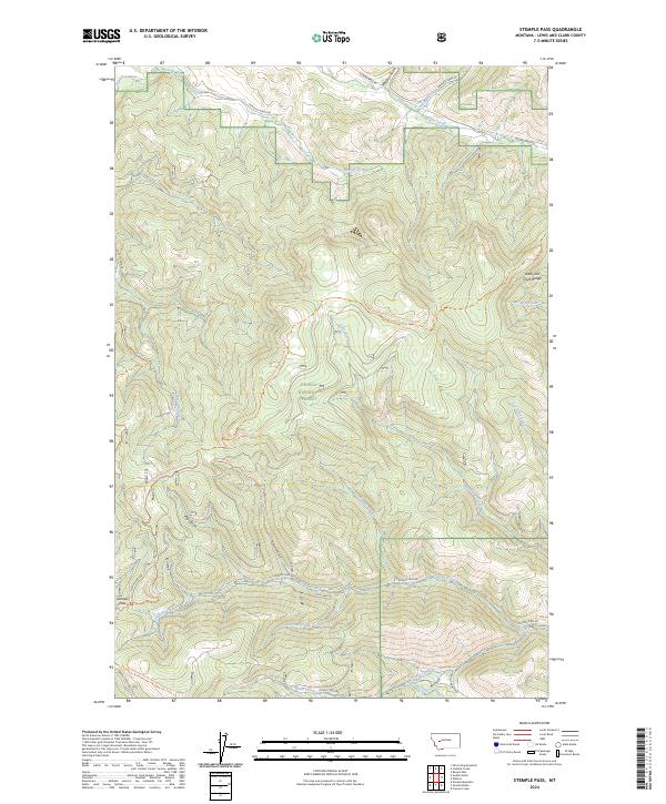
2024 Stemple Pass
Lewis and Clark County, MT
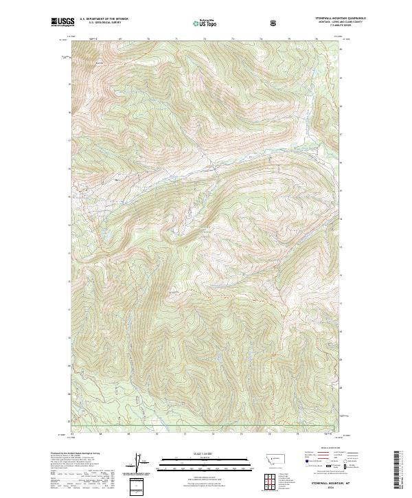
2024 Stonewall Mountain
Lewis and Clark County, MT
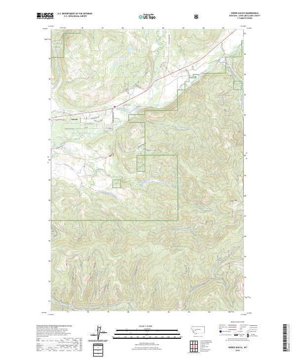
2024 Swede Gulch
Lewis and Clark County, MT
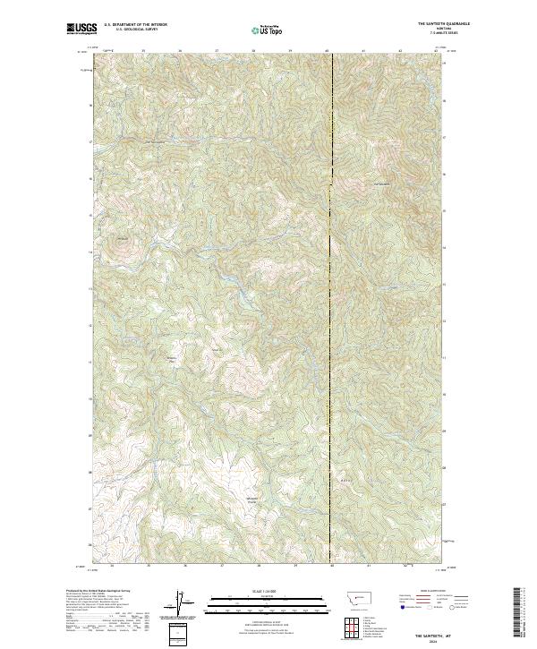
2024 The Sawteeth
Lewis and Clark County, MT
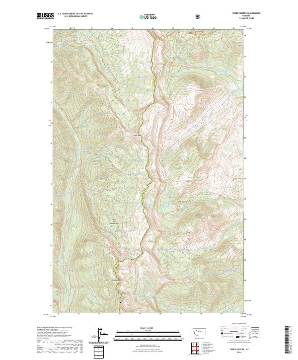
2024 Three Sisters
Lewis and Clark County, MT

2024 Trap Mountain
Lewis and Clark County, MT
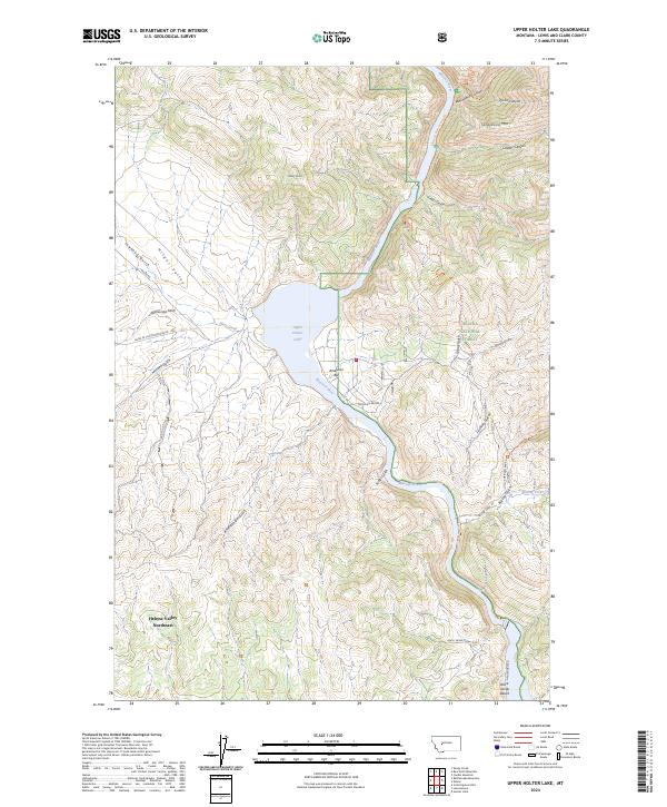
2024 Upper Holter Lake
Lewis and Clark County, MT
2024 Wilborn
Lewis and Clark County, MT
2024 Wood Lake
Lewis and Clark County, MT
Featured Locations
- United States
- Montana
- Lewis and Clark County, MT
- Helena Valley Northeast, Lewis and Clark County
- Fox Ridge, Lewis and Clark County