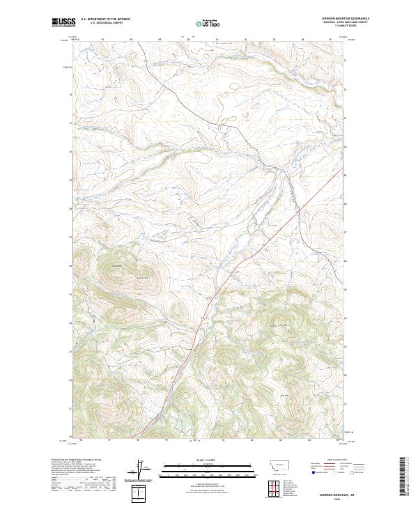
2024 Map of Johnson Mountain
USGS Topo · Published 2024About this map
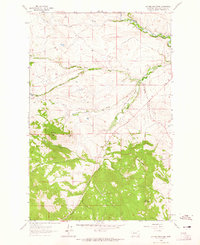
The Blackfoot Valley Conservation Area dominates much of this landscape in Lewis and Clark County, where the Rocky Mountains transition into managed foothills and protected basins. The terrain is defined by the hydrologic network of the Dearborn River and its major tributary, the Middle Fork Dearborn River, which winds through the central and southern portions of the sheet. Notable peaks such as Johnson Mtn and Joes Mtn provide significant vertical relief, while Sunset Hill and Sunrise Hill mark the western elevations. Cultural history is etched into the land through the early water engineering of the Gillette Ditch and primitive access routes like L & C Rd and McDonough Rd. This contemporary survey reflects a region dedicated to conservation and traditional grazing, evidenced by the absence of major settlements and the preservation of drainages like Spring Gulch and Wrangle Creek.
Find a feature on this map
26 named features on this map. Tap any name to fly to it.
Don’t see what you’re looking for? This feature index may not catch every label — zoom into the map to look around manually.
Map Details
Editions of this 2024 Johnson Mountain Map
This is the sole edition of this map. No revisions or reprints were ever made.
Other maps of this area

1943 · Hogan
USGS Topo · 1:125,000

1955 · Choteau
USGS Topo · 1:250,000

1957 · Choteau
USGS Topo · 1:250,000

1958 · Choteau
USGS Topo · 1:250,000
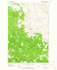
1961 · Roberts Mountain
USGS Topo · 1:24,000
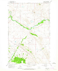
1961 · Comb Rock
USGS Topo · 1:24,000

1962 · Choteau
USGS Topo · 1:250,000
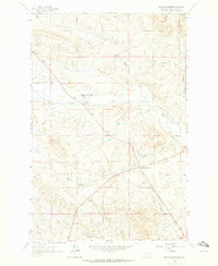
1962 · Bowmans Corners
USGS Topo · 1:24,000
1962 · Johnson Mountain
USGS Topo · 1:24,000
1963 · Rogers Pass
USGS Topo · 1:24,000