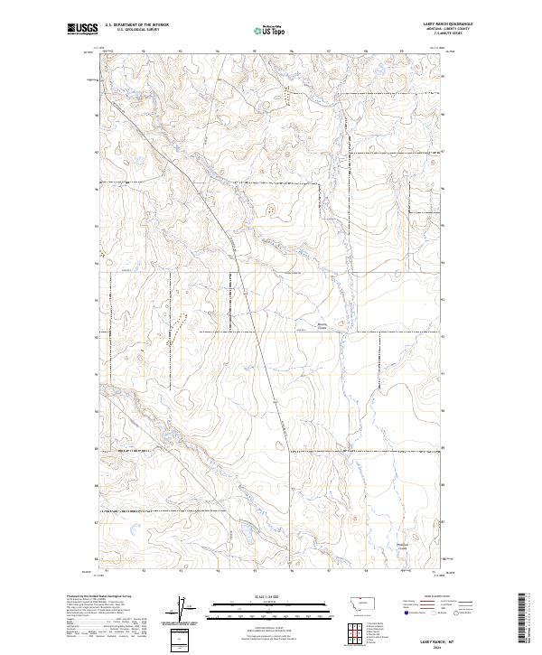
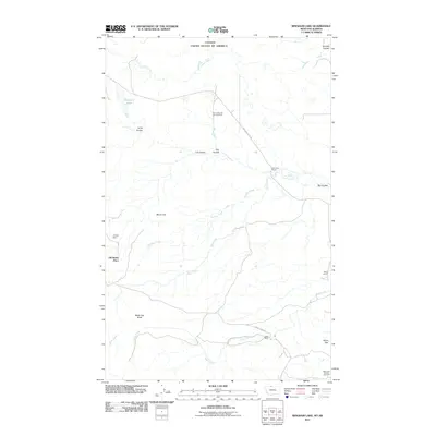
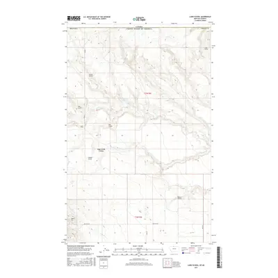
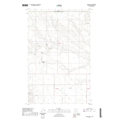
2024 Map of Lakey Ranch
USGS Topo · Published 2024About this map
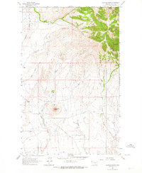
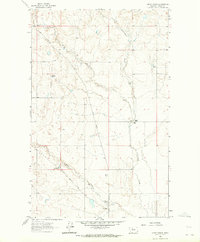
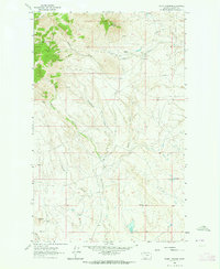
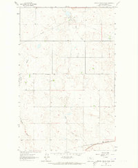
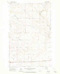
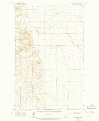
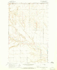
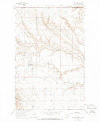
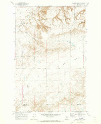
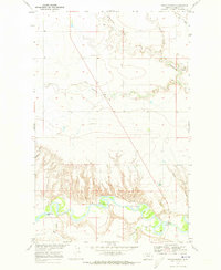
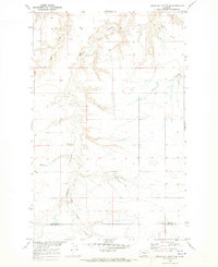
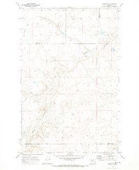
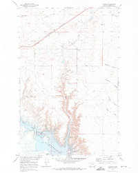
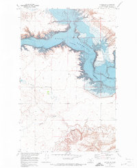
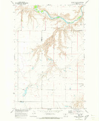
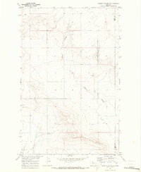
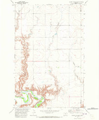
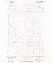
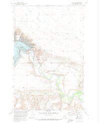
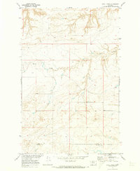
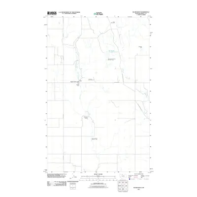
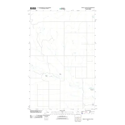
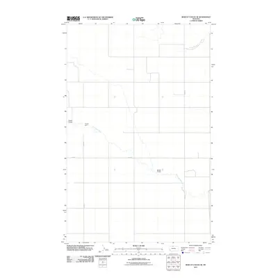
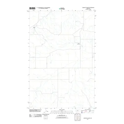
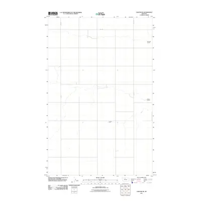
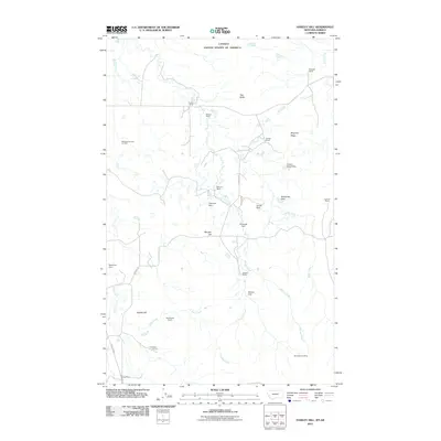
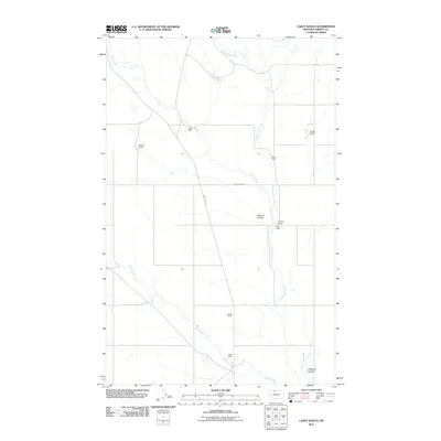
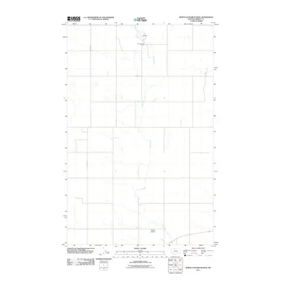
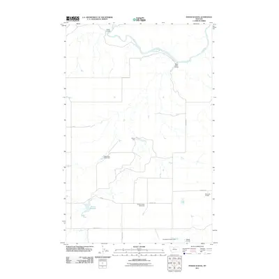
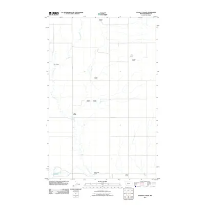
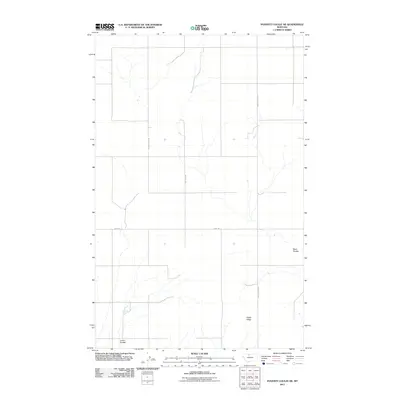
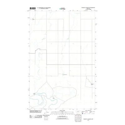
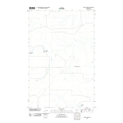
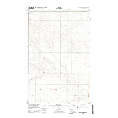
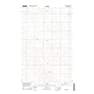
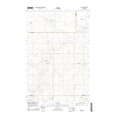
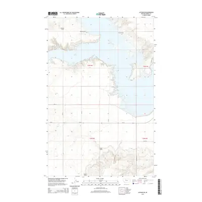
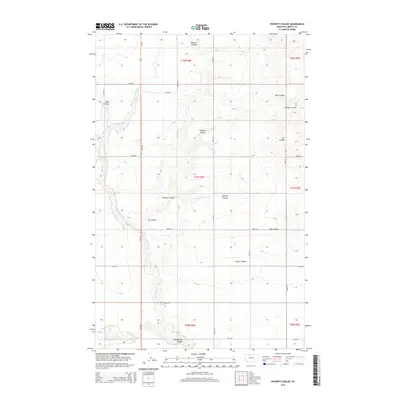
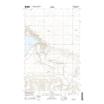
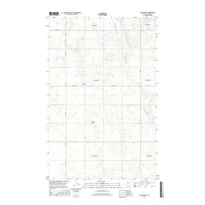
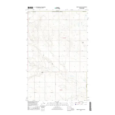
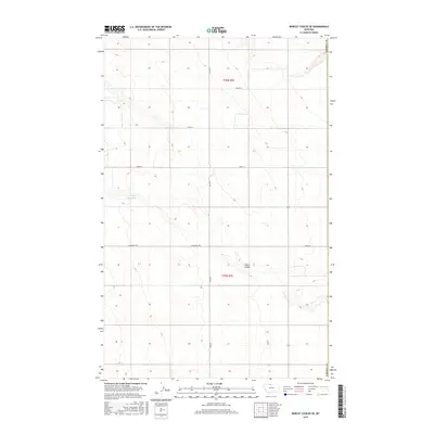
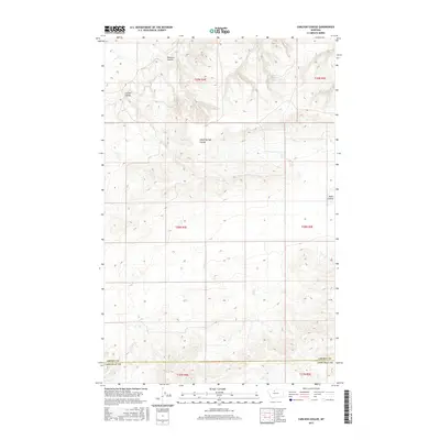
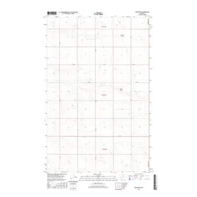
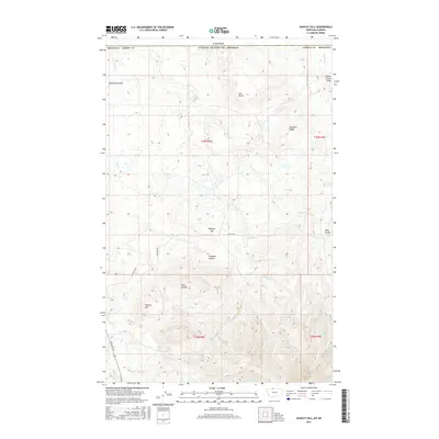
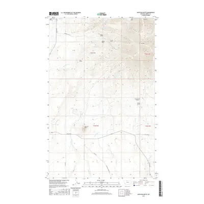
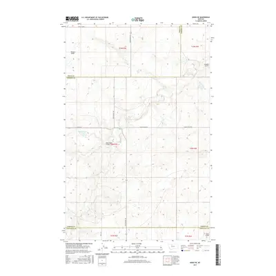
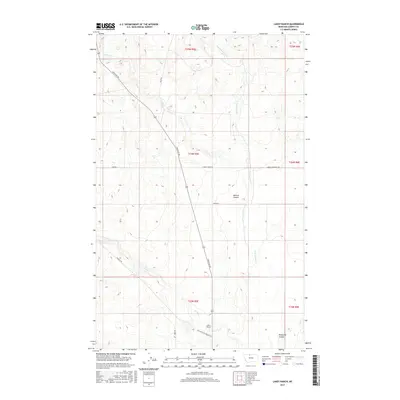
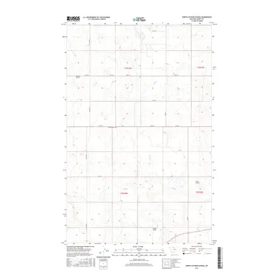
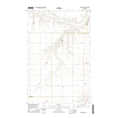
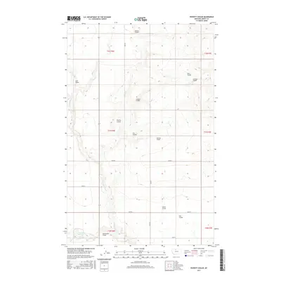
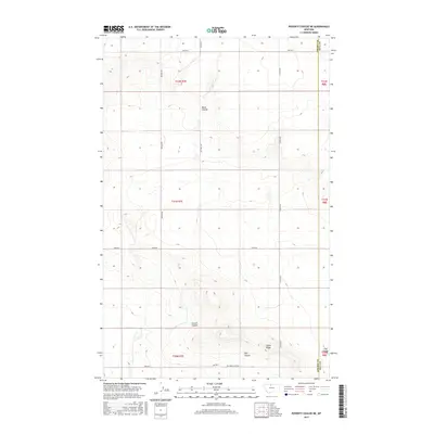
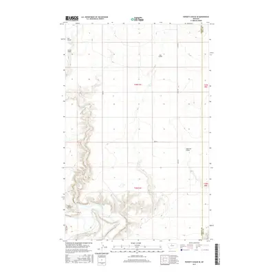
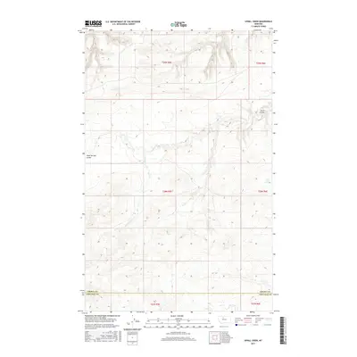
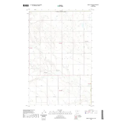
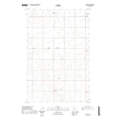
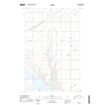
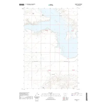
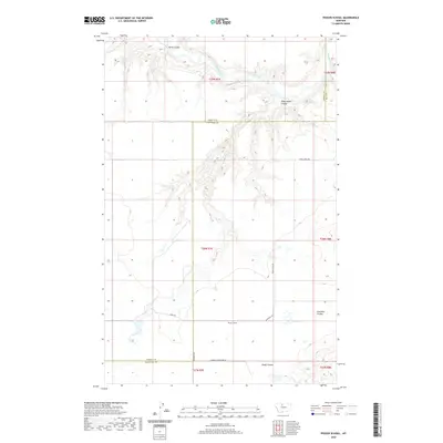
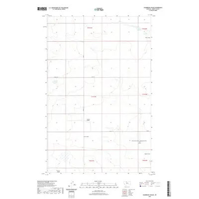
Bourne Coulee and Phillipine Coulee carve through this high-plains landscape in Liberty County, revealing a network of seasonal watercourses and historic transit routes. The terrain is defined by the drainage patterns of Corral Creek, Government Creek, and Horse Creek, which dictate the local topography. This 2024 survey documents a modern landscape still oriented around early transportation corridors, most notably Whitlash Rd and the Old Whitlash Freight Rd. These names hint at the area's history as a freighting passage, where roads like Freight Rd and Tiber Rd connect remote ranchlands. The map provides a clear look at the Public Land Survey System grid across townships like t34n r5e, reflecting the enduring structure of Montana's rural land management.
Find a feature on this map
20 named features on this map. Tap any name to fly to it.
Don’t see what you’re looking for? This feature index may not catch every label — zoom into the map to look around manually.
Map Details
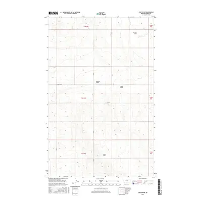
Editions of this 2024 Lakey Ranch Map
This is the sole edition of this map. No revisions or reprints were ever made.
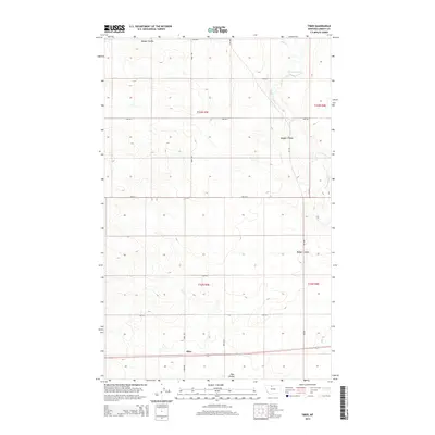
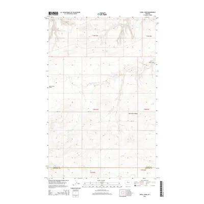
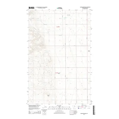
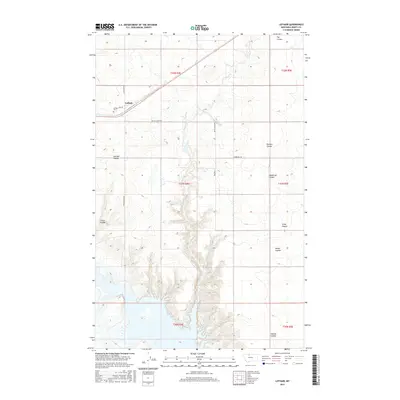
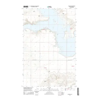
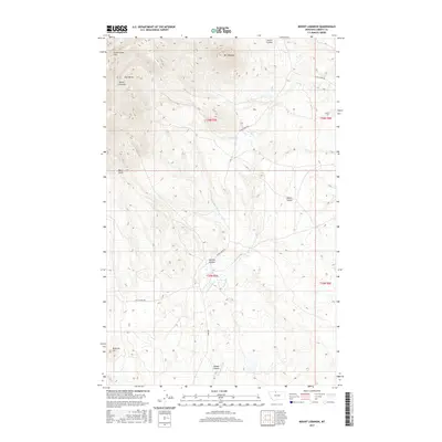
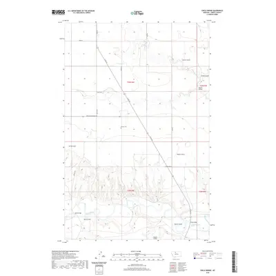
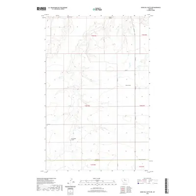
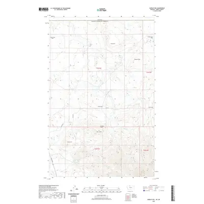
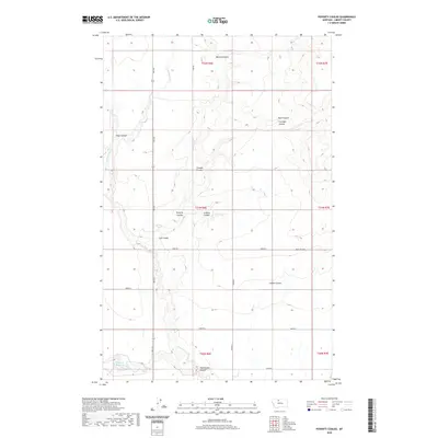
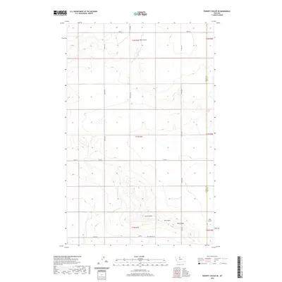
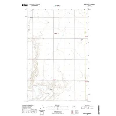
Historical Maps of Liberty County Through Time
162 maps found
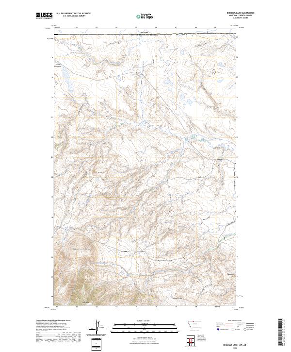
1962 Bingham Lake
Liberty County, MT
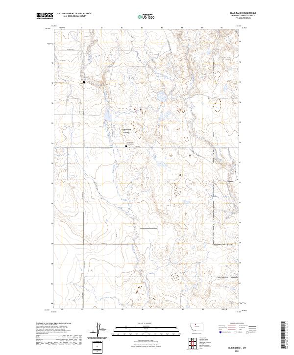
1962 Blair Ranch
Liberty County, MT
1962 Hawley Hill
Liberty County, MT
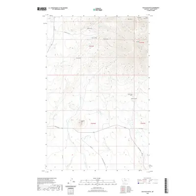
1962 Haystack Butte
Liberty County, MT
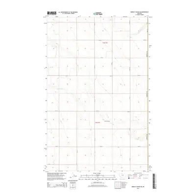
1962 Lakey Ranch
Liberty County, MT
1962 Mount Lebanon
Liberty County, MT
1962 North Lothair School
Liberty County, MT
1962 Tiber
Liberty County, MT
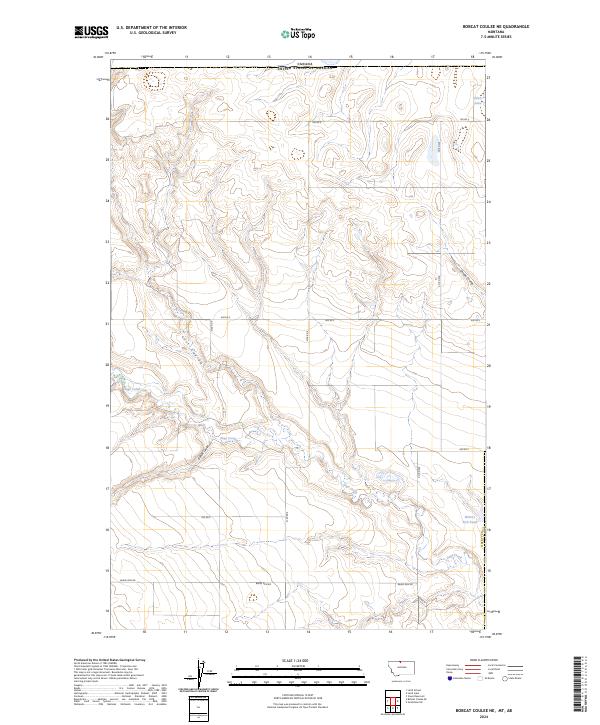
1963 Bobcat Coulee SE
Liberty County, MT
1963 Chester NE
Liberty County, MT
1963 Chester NW
Liberty County, MT
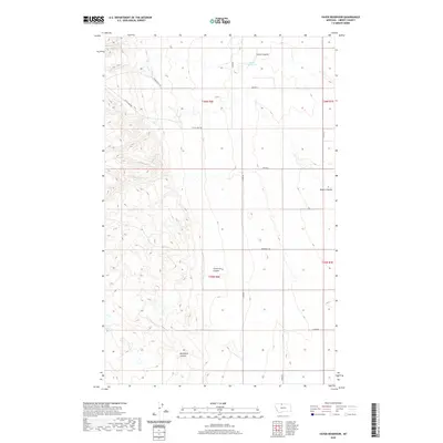
1963 Vaver Reservoir
Liberty County, MT
1964 Bobcat Coulee NE
Liberty County, MT
1964 Laird School
Liberty County, MT
1970 Carlson Coulee
Liberty County, MT
1970 Circle Bridge
Liberty County, MT
1970 Goose Bill Butte NW
Liberty County, MT
1970 Knees NE
Liberty County, MT
1970 Lothair
Liberty County, MT
1970 Lothair SW
Liberty County, MT
1970 Penzer School
Liberty County, MT

1970 Poverty Coulee
Liberty County, MT
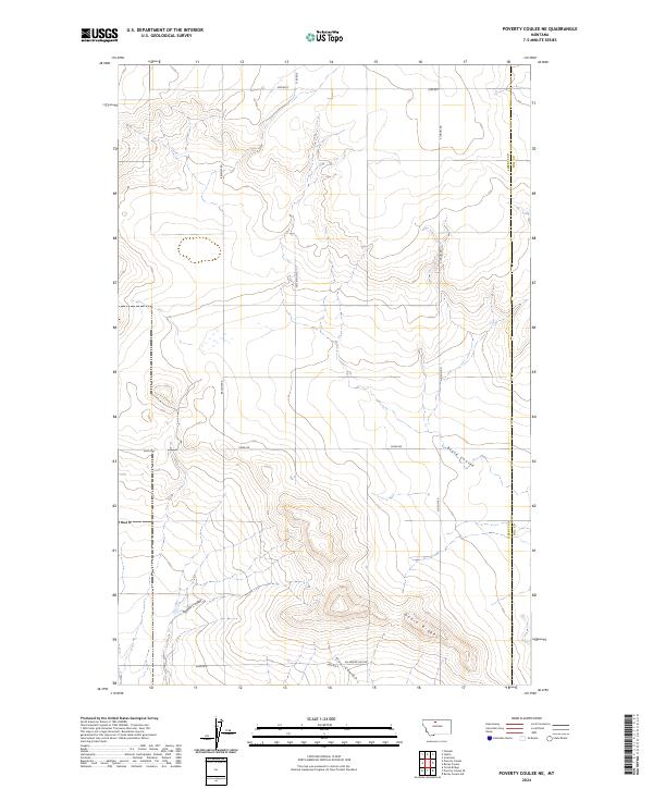
1970 Poverty Coulee NE
Liberty County, MT
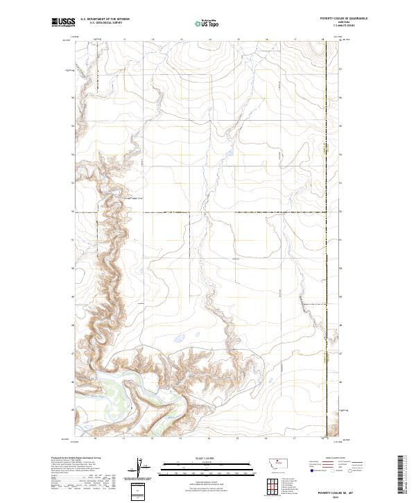
1970 Poverty Coulee SE
Liberty County, MT
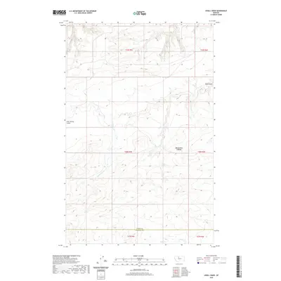
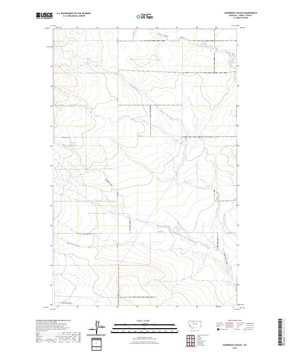
1970 Sagebrush Coulee
Liberty County, MT
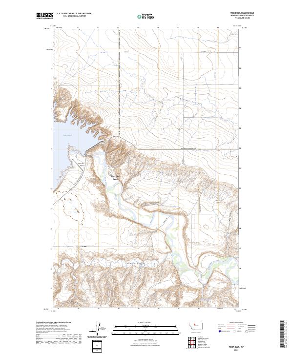
1970 Tiber Dam
Liberty County, MT
1970 Uphill Creek
Liberty County, MT
2011 Bingham Lake
Liberty County, MT
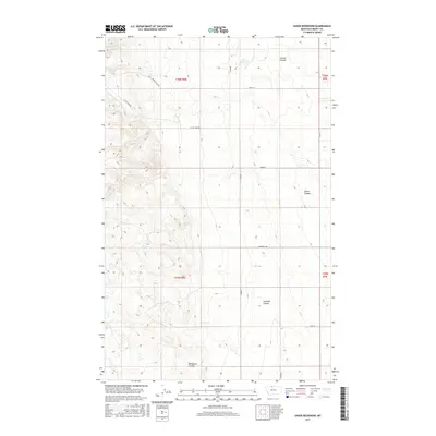
2011 Blair Ranch
Liberty County, MT
2011 Bobcat Coulee NE
Liberty County, MT
2011 Bobcat Coulee SE
Liberty County, MT
2011 Carlson Coulee
Liberty County, MT
2011 Chester NE
Liberty County, MT
2011 Chester NW
Liberty County, MT
2011 Circle Bridge
Liberty County, MT
2011 Goose Bill Butte NW
Liberty County, MT
2011 Hawley Hill
Liberty County, MT
2011 Haystack Butte
Liberty County, MT
2011 Knees NE
Liberty County, MT
2011 Laird School
Liberty County, MT
2011 Lakey Ranch
Liberty County, MT
2011 Lothair
Liberty County, MT
2011 Lothair SW
Liberty County, MT
2011 Mount Lebanon
Liberty County, MT
2011 North Lothair School
Liberty County, MT
2011 Penzer School
Liberty County, MT
2011 Poverty Coulee
Liberty County, MT
2011 Poverty Coulee NE
Liberty County, MT
2011 Poverty Coulee SE
Liberty County, MT
2011 Sagebrush Coulee
Liberty County, MT
2011 Tiber Dam
Liberty County, MT
2011 Tiber
Liberty County, MT
2011 Uphill Creek
Liberty County, MT
2011 Vaver Reservoir
Liberty County, MT
2014 Bingham Lake
Liberty County, MT
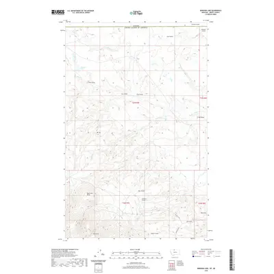
2014 Blair Ranch
Liberty County, MT
2014 Bobcat Coulee NE
Liberty County, MT
2014 Bobcat Coulee SE
Liberty County, MT
2014 Carlson Coulee
Liberty County, MT
2014 Chester NE
Liberty County, MT
2014 Chester NW
Liberty County, MT
2014 Circle Bridge
Liberty County, MT
2014 Goose Bill Butte NW
Liberty County, MT

2014 Hawley Hill
Liberty County, MT
2014 Haystack Butte
Liberty County, MT
2014 Knees NE
Liberty County, MT
2014 Laird School
Liberty County, MT
2014 Lakey Ranch
Liberty County, MT
2014 Lothair
Liberty County, MT
2014 Lothair SW
Liberty County, MT
2014 Mount Lebanon
Liberty County, MT
2014 North Lothair School
Liberty County, MT
2014 Penzer School
Liberty County, MT
2014 Poverty Coulee
Liberty County, MT
2014 Poverty Coulee NE
Liberty County, MT
2014 Poverty Coulee SE
Liberty County, MT
2014 Sagebrush Coulee
Liberty County, MT
2014 Tiber Dam
Liberty County, MT
2014 Tiber
Liberty County, MT
2014 Uphill Creek
Liberty County, MT
2014 Vaver Reservoir
Liberty County, MT

2017 Bingham Lake
Liberty County, MT
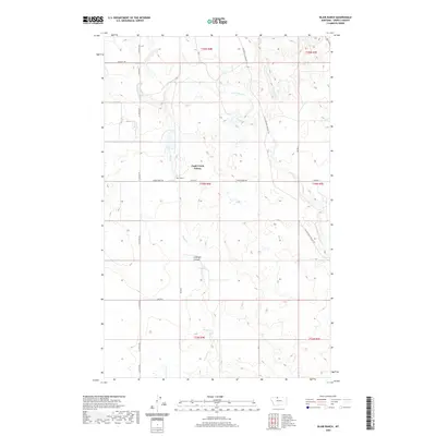
2017 Blair Ranch
Liberty County, MT
2017 Bobcat Coulee NE
Liberty County, MT
2017 Bobcat Coulee SE
Liberty County, MT
2017 Carlson Coulee
Liberty County, MT
2017 Chester NE
Liberty County, MT
2017 Chester NW
Liberty County, MT
2017 Circle Bridge
Liberty County, MT
2017 Goose Bill Butte NW
Liberty County, MT
2017 Hawley Hill
Liberty County, MT
2017 Haystack Butte
Liberty County, MT
2017 Knees NE
Liberty County, MT
2017 Laird School
Liberty County, MT
2017 Lakey Ranch
Liberty County, MT
2017 Lothair
Liberty County, MT
2017 Lothair SW
Liberty County, MT
2017 Mount Lebanon
Liberty County, MT
2017 North Lothair School
Liberty County, MT
2017 Penzer School
Liberty County, MT
2017 Poverty Coulee
Liberty County, MT
2017 Poverty Coulee NE
Liberty County, MT
2017 Poverty Coulee SE
Liberty County, MT
2017 Sagebrush Coulee
Liberty County, MT
2017 Tiber Dam
Liberty County, MT
2017 Tiber
Liberty County, MT
2017 Uphill Creek
Liberty County, MT
2017 Vaver Reservoir
Liberty County, MT
2020 Bingham Lake
Liberty County, MT
2020 Blair Ranch
Liberty County, MT
2020 Bobcat Coulee NE
Liberty County, MT
2020 Bobcat Coulee SE
Liberty County, MT
2020 Carlson Coulee
Liberty County, MT
2020 Chester NE
Liberty County, MT
2020 Chester NW
Liberty County, MT
2020 Circle Bridge
Liberty County, MT
2020 Goose Bill Butte NW
Liberty County, MT
2020 Hawley Hill
Liberty County, MT
2020 Haystack Butte
Liberty County, MT
2020 Knees NE
Liberty County, MT
2020 Laird School
Liberty County, MT
2020 Lakey Ranch
Liberty County, MT
2020 Lothair
Liberty County, MT
2020 Lothair SW
Liberty County, MT
2020 Mount Lebanon
Liberty County, MT
2020 North Lothair School
Liberty County, MT
2020 Penzer School
Liberty County, MT
2020 Poverty Coulee
Liberty County, MT
2020 Poverty Coulee NE
Liberty County, MT
2020 Poverty Coulee SE
Liberty County, MT
2020 Sagebrush Coulee
Liberty County, MT
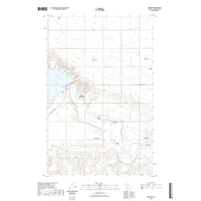
2020 Tiber Dam
Liberty County, MT
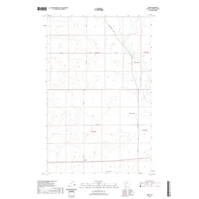
2020 Tiber
Liberty County, MT
2020 Uphill Creek
Liberty County, MT
2020 Vaver Reservoir
Liberty County, MT
2024 Bingham Lake
Liberty County, MT
2024 Blair Ranch
Liberty County, MT
2024 Bobcat Coulee NE
Liberty County, MT
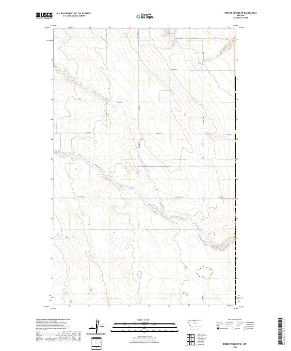
2024 Bobcat Coulee SE
Liberty County, MT
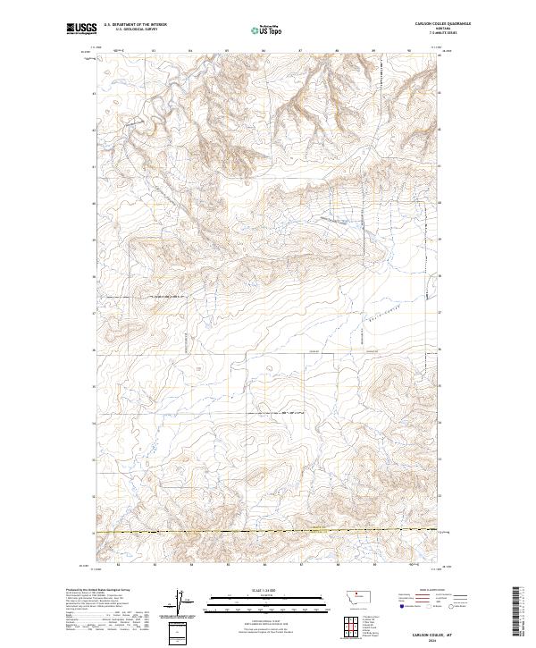
2024 Carlson Coulee
Liberty County, MT
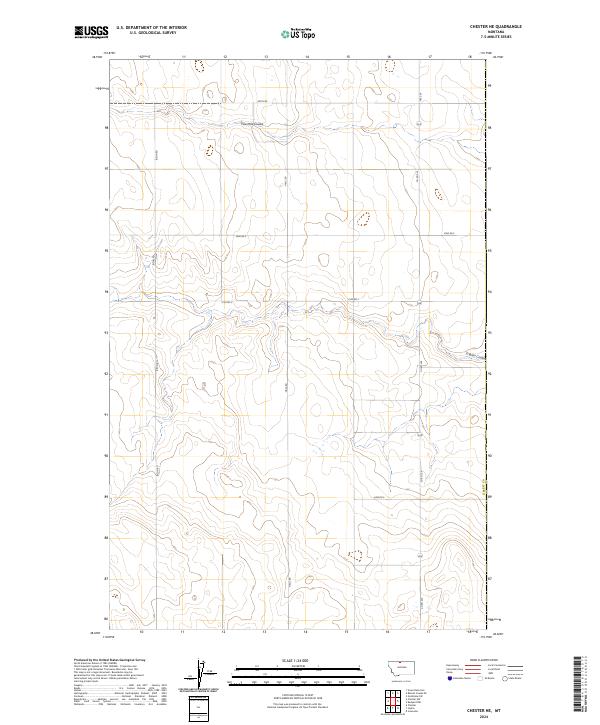
2024 Chester NE
Liberty County, MT
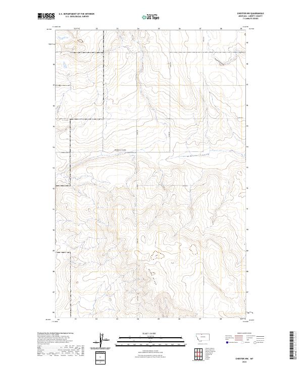
2024 Chester NW
Liberty County, MT
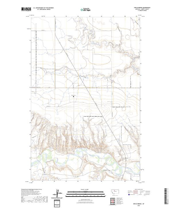
2024 Circle Bridge
Liberty County, MT
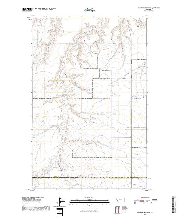
2024 Goose Bill Butte NW
Liberty County, MT
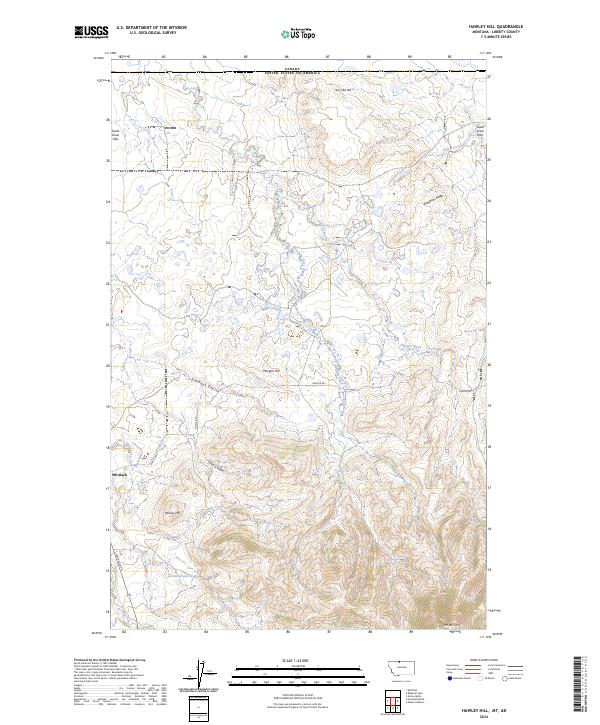
2024 Hawley Hill
Liberty County, MT
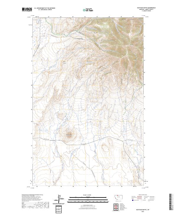
2024 Haystack Butte
Liberty County, MT
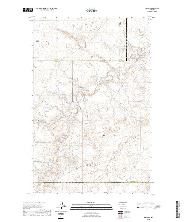
2024 Knees NE
Liberty County, MT
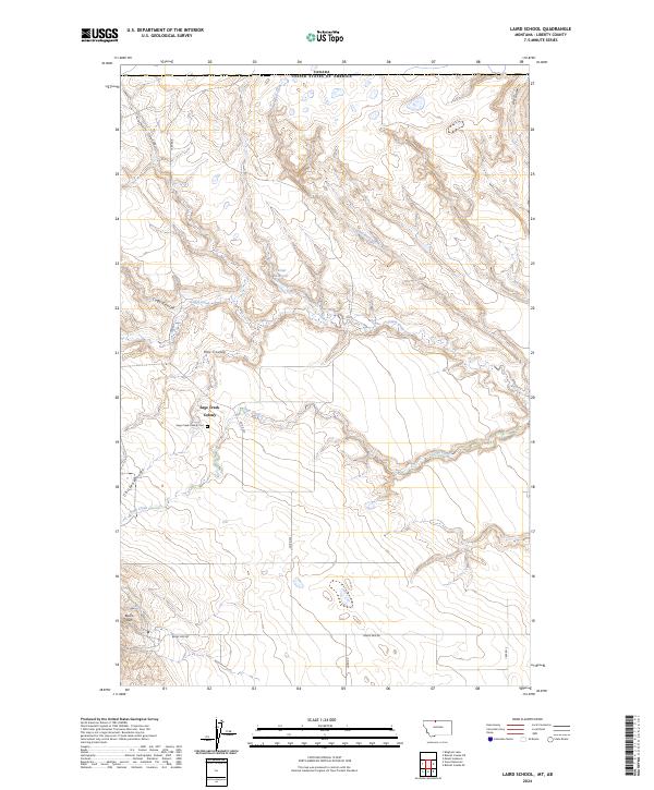
2024 Laird School
Liberty County, MT
2024 Lakey Ranch
Liberty County, MT
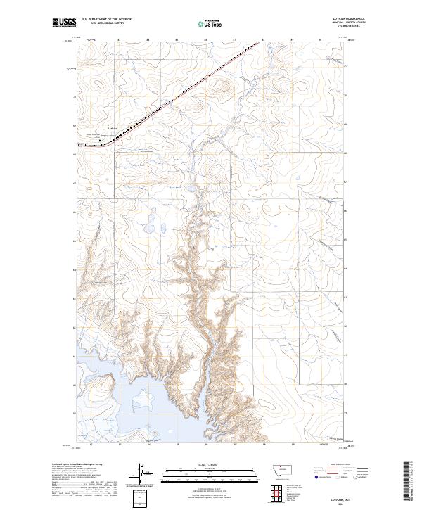
2024 Lothair
Liberty County, MT
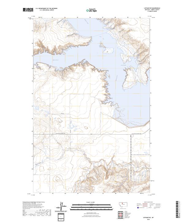
2024 Lothair SW
Liberty County, MT
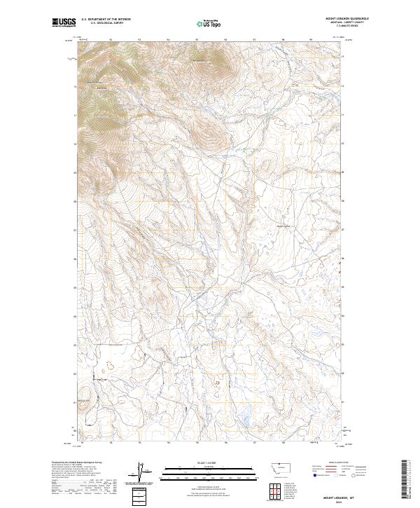
2024 Mount Lebanon
Liberty County, MT
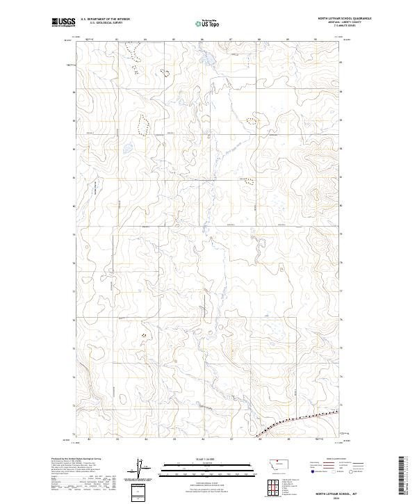
2024 North Lothair School
Liberty County, MT
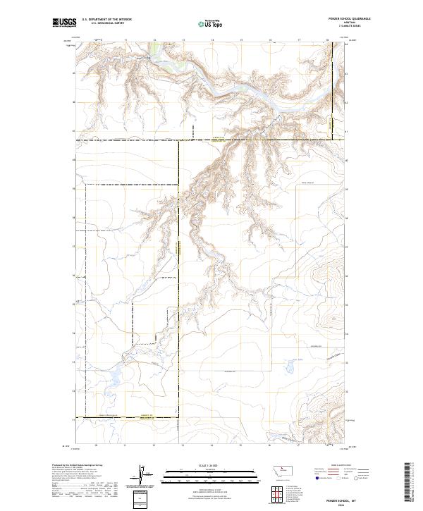
2024 Penzer School
Liberty County, MT
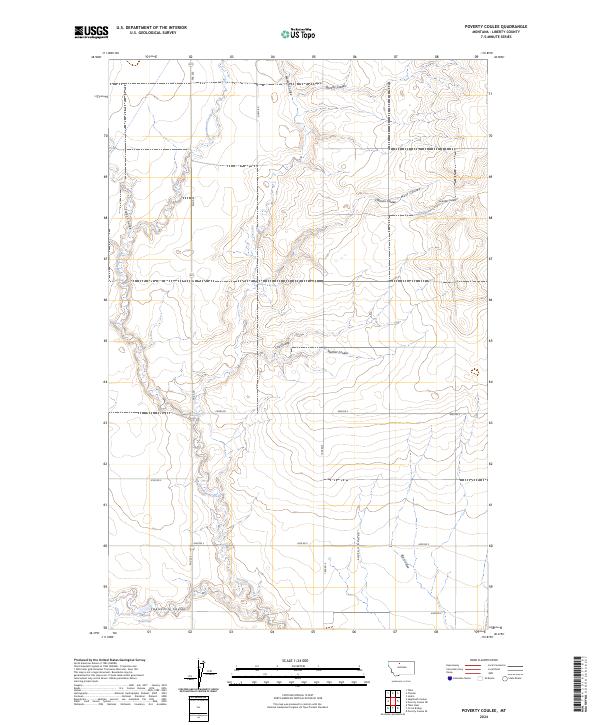
2024 Poverty Coulee
Liberty County, MT
2024 Poverty Coulee NE
Liberty County, MT
2024 Poverty Coulee SE
Liberty County, MT
2024 Sagebrush Coulee
Liberty County, MT
2024 Tiber Dam
Liberty County, MT
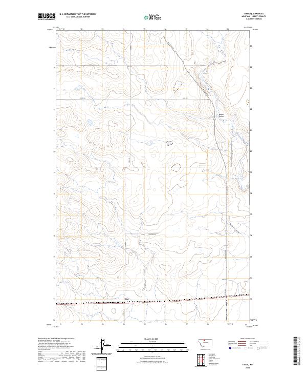
2024 Tiber
Liberty County, MT
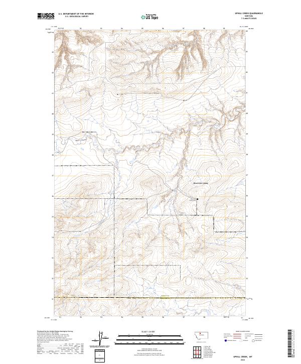
2024 Uphill Creek
Liberty County, MT
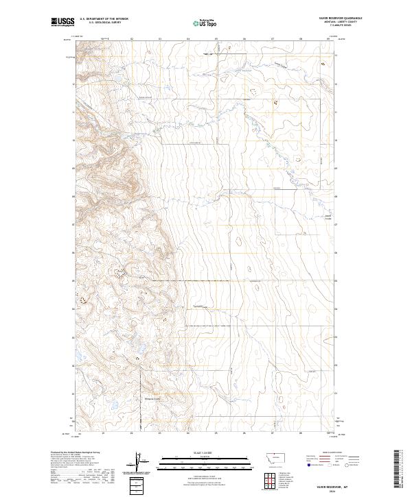
2024 Vaver Reservoir
Liberty County, MT