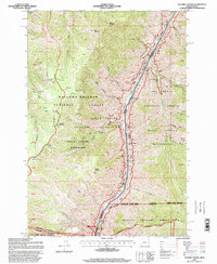
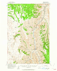
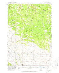
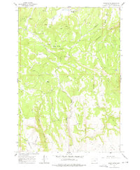
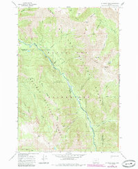
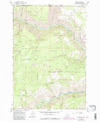
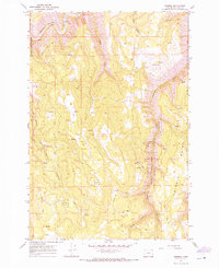
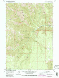
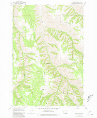
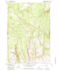
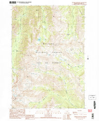
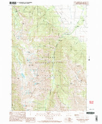
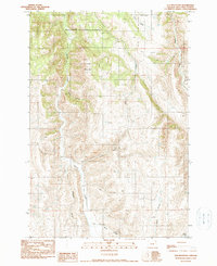
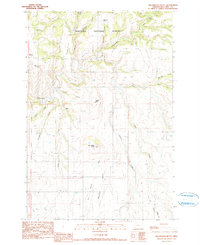
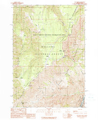
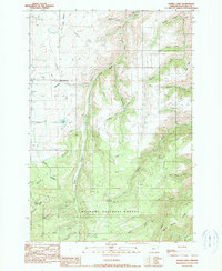
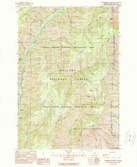
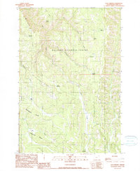
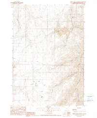
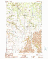
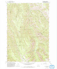
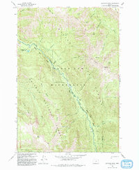
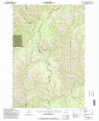
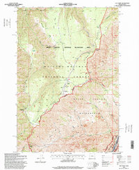
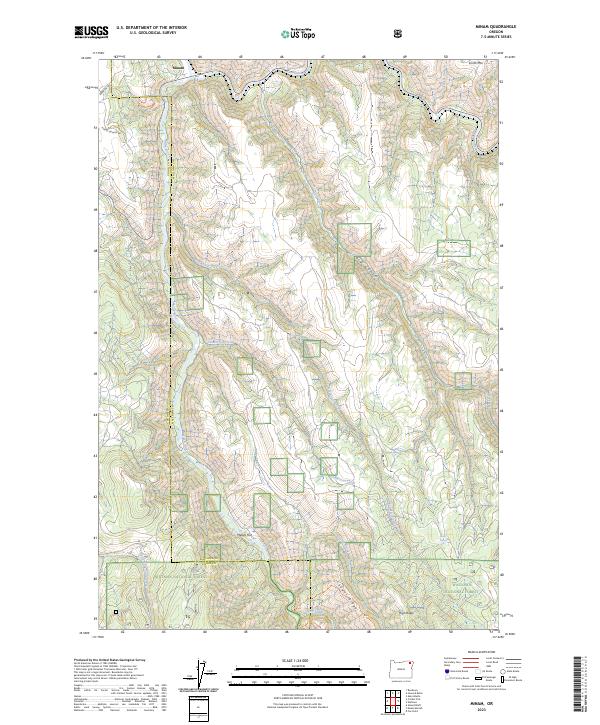
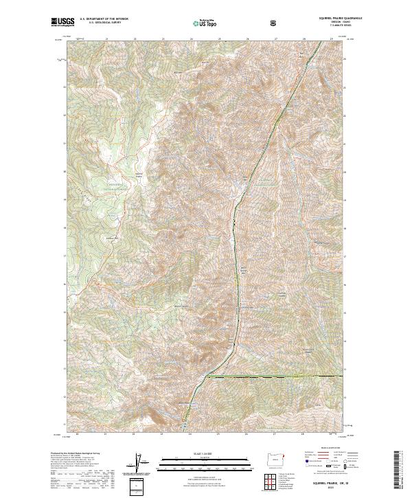
1995 Map of Squirrel Prairie
USGS Topo · Published 1999About this map
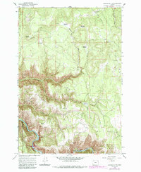
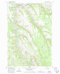
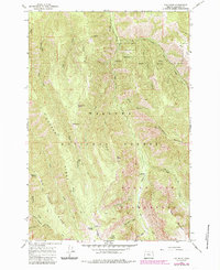
The Snake River carves a deep path through this 1995 survey, marking the dramatic border between Oregon and Idaho. This area is characterized by immense elevation changes from the riverbed up to Summit Ridge and Black Mountain. Human presence in this demanding landscape is evidenced by the Hibbs Ranch (Site) and isolated structures like Marks Cabin and Barton Cabin. The map details the complex boundaries of the Hells Canyon National Recreation Area and the Hells Canyon Wilderness, where the Western Rim National Recreation Trail follows the high ground above the canyon floor. Historical markers, including a solitary Grave and the Hells Canyon Boat Launch, provide touchpoints for those tracing the history of land use and navigation along this section of the river near its confluence with the Salmon River.
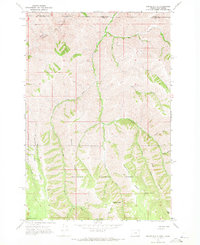
Find a feature on this map
61 named features on this map. Tap any name to fly to it.
Don’t see what you’re looking for? This feature index may not catch every label — zoom into the map to look around manually.
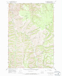
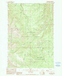
Map Details
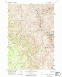
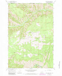
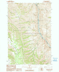
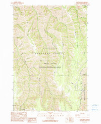
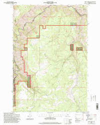
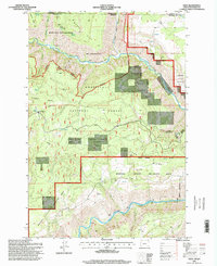
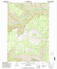
Editions of this 1995 Squirrel Prairie Map
This is the sole edition of this map. No revisions or reprints were ever made.
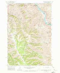
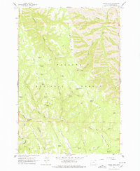
Historical Maps of Idaho County Through Time
133 maps found
1954 Cornucopia
Wallowa County, OR
1954 Eagle Cap
Wallowa County, OR
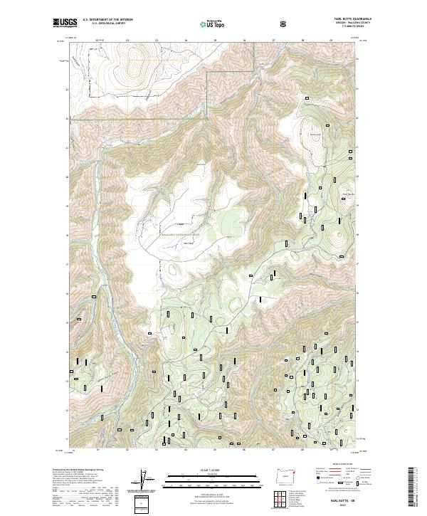
1954 Harl Butte
Wallowa County, OR
1954 Imnaha
Wallowa County, OR
1954 Kernan Point
Wallowa County, OR
1957 Elk Mountain
Wallowa County, OR
1957 Homestead
Wallowa County, OR
1957 Sled Springs
Wallowa County, OR
1963 Deadhorse Ridge
Wallowa County, OR
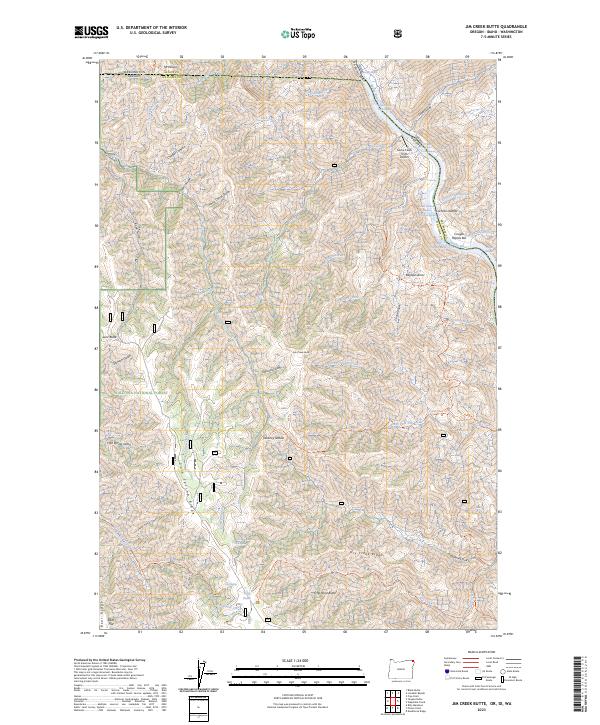
1963 Jim Creek Butte
Wallowa County, OR
1963 Poison Point
Wallowa County, OR
1964 Akers Butte
Wallowa County, OR
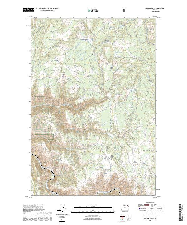
1964 Howard Butte
Wallowa County, OR
1964 Minam
Wallowa County, OR
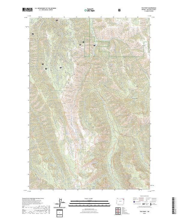
1965 Fox Point
Wallowa County, OR
1966 Jim White Ridge
Wallowa County, OR
1967 Billy Meadows
Wallowa County, OR
1967 Bone Spring
Wallowa County, OR
1967 Deep Creek
Wallowa County, OR
1967 Eden
Wallowa County, OR
1967 Elbow Creek
Wallowa County, OR
1967 Flora
Wallowa County, OR
1967 Paradise
Wallowa County, OR
1967 Promise
Wallowa County, OR

1967 Shamrock Creek
Wallowa County, OR
1967 Table Mountain
Wallowa County, OR
1967 Teepee Butte
Wallowa County, OR
1967 Troy
Wallowa County, OR
1967 Wenaha Forks
Wallowa County, OR
1967 Wood Butte
Wallowa County, OR
1984 Akers Butte
Wallowa County, OR
1990 Aneroid Mountain
Wallowa County, OR
1990 Chief Joseph Mtn
Wallowa County, OR
1990 Clear Lake Ridge
Wallowa County, OR
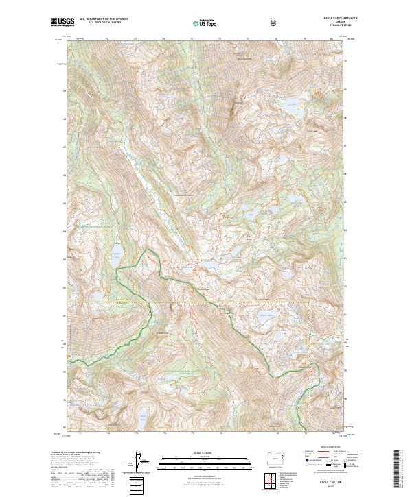
1990 Eagle Cap
Wallowa County, OR
1990 Elk Mountain SE
Wallowa County, OR
1990 Elk Mountain
Wallowa County, OR
1990 Evans
Wallowa County, OR
1990 Findley Buttes
Wallowa County, OR
1990 Fingerboard Saddle
Wallowa County, OR
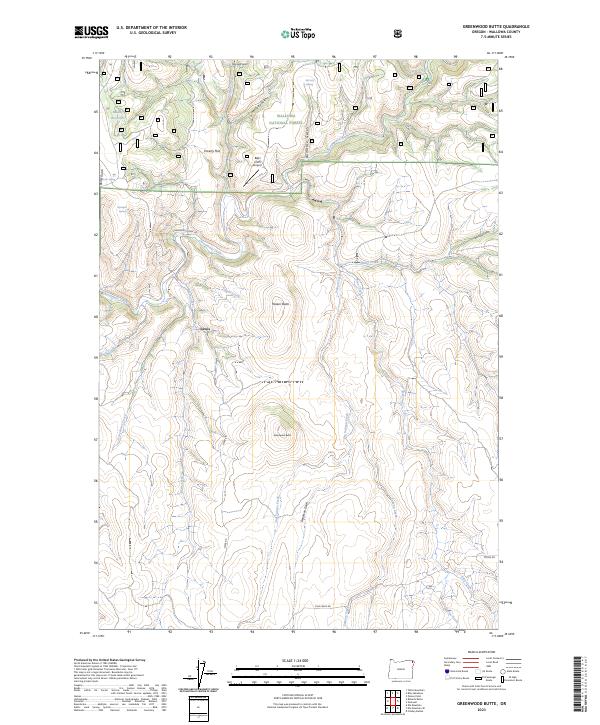
1990 Greenwood Butte
Wallowa County, OR
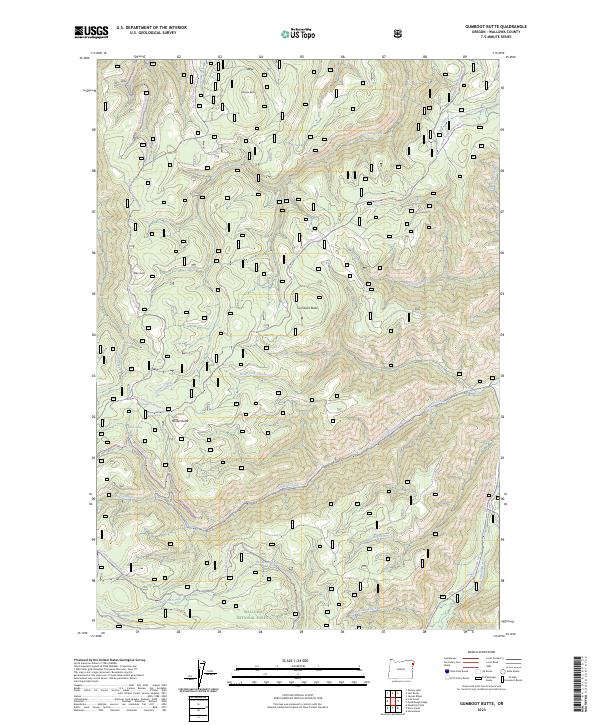
1990 Gumboot Butte
Wallowa County, OR
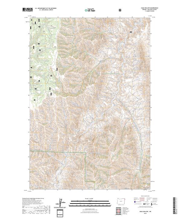
1990 Haas Hollow
Wallowa County, OR
1990 Harl Butte
Wallowa County, OR
1990 Hat Point
Wallowa County, OR
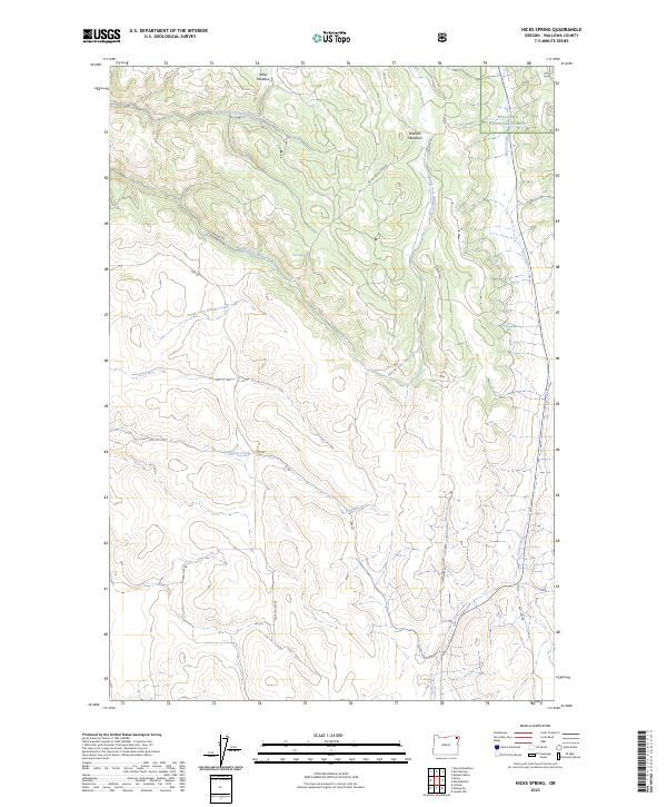
1990 Hicks Spring
Wallowa County, OR

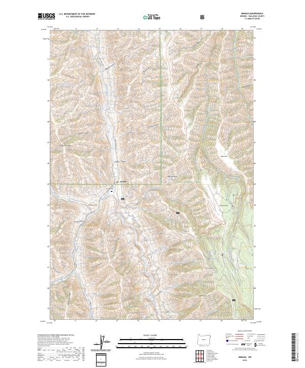
1990 Imnaha
Wallowa County, OR
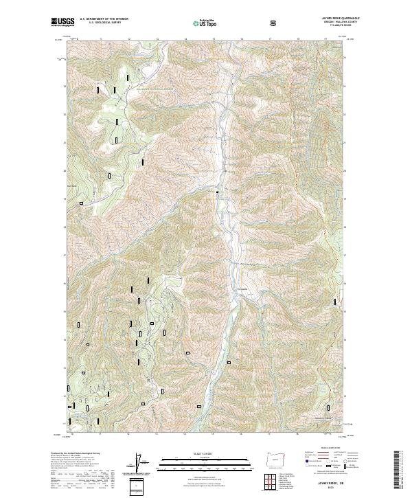
1990 Jaynes Ridge
Wallowa County, OR
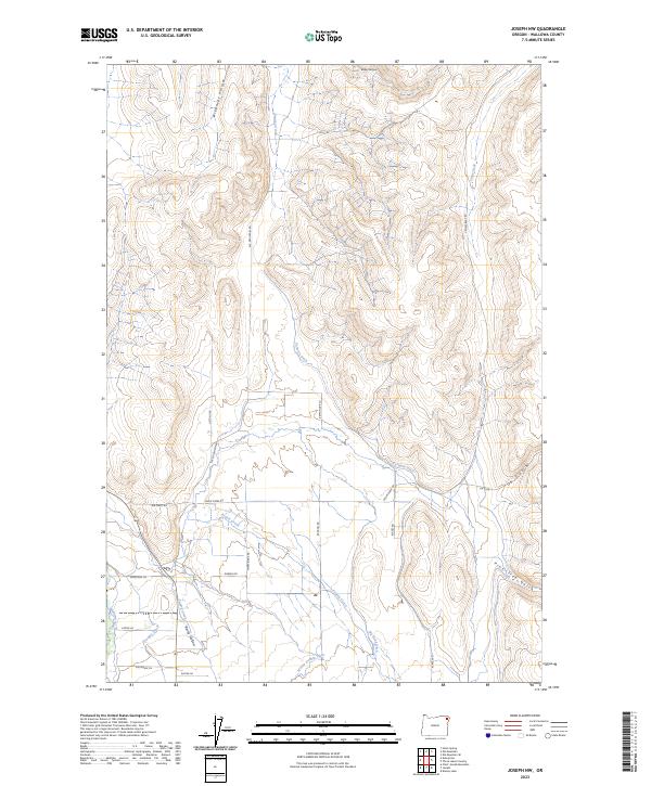
1990 Joseph NW
Wallowa County, OR
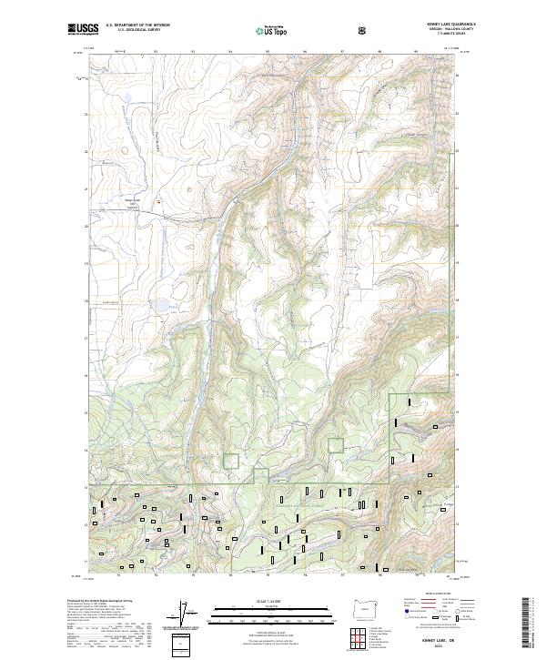
1990 Kinney Lake
Wallowa County, OR
1990 Lick Creek
Wallowa County, OR
1990 Lord Flat
Wallowa County, OR
1990 North Minam Meadows
Wallowa County, OR
1990 Puderbaugh Ridge
Wallowa County, OR
1990 Roberts Butte
Wallowa County, OR
1990 Sheep Creek Divide
Wallowa County, OR
1990 Sherod Meadows
Wallowa County, OR
1990 Sled Springs
Wallowa County, OR
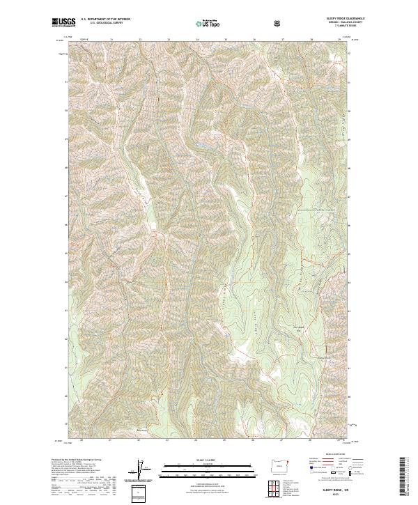
1990 Sleepy Ridge
Wallowa County, OR
1990 Squirrel Prairie
Wallowa County, OR

1990 Steamboat Lake
Wallowa County, OR
1990 Temperance Creek
Wallowa County, OR
1990 Three Lakes Country
Wallowa County, OR
1990 Zumwalt
Wallowa County, OR
1993 Fox Point
Wallowa County, OR
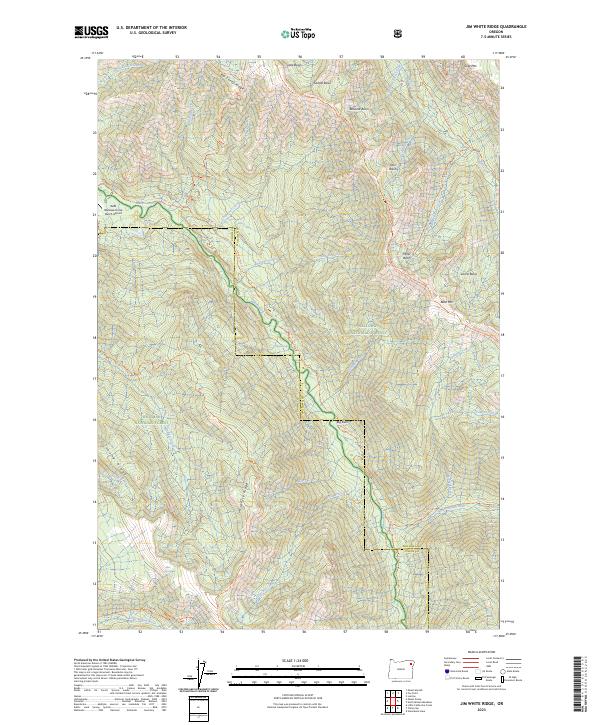
1993 Jim White Ridge
Wallowa County, OR
1995 Bone Spring
Wallowa County, OR
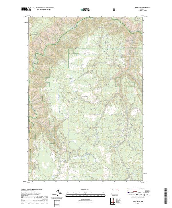
1995 Deep Creek
Wallowa County, OR
1995 Eden
Wallowa County, OR
1995 Elbow Creek
Wallowa County, OR
1995 Hat Point
Wallowa County, OR
1995 Lord Flat
Wallowa County, OR
1995 Promise
Wallowa County, OR
1995 Squirrel Prairie
Wallowa County, OR
1995 Temperance Creek
Wallowa County, OR

1995 Troy
Wallowa County, OR
1995 Wenaha Forks
Wallowa County, OR
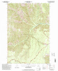
2023 Billy Meadows
Wallowa County, OR
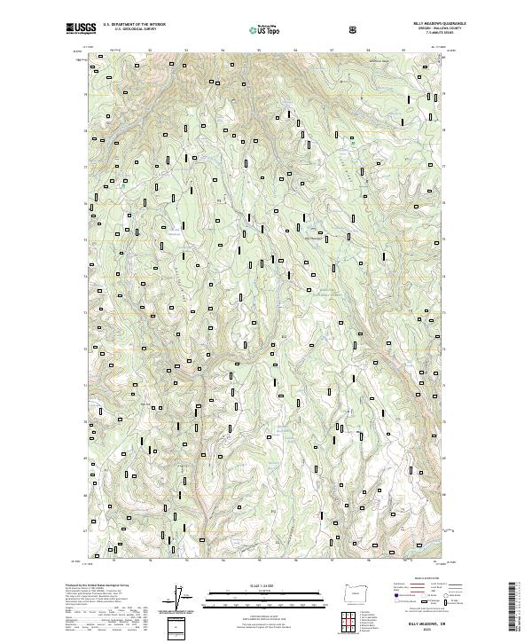
2023 Cactus Mountain
Wallowa County, OR
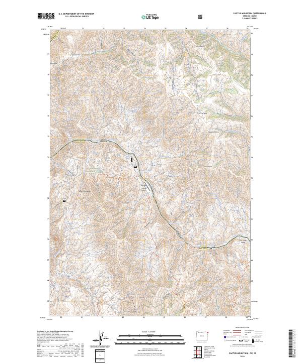
2023 Chief Joseph Mountain
Wallowa County, OR
2023 Deep Creek
Wallowa County, OR
2023 Eagle Cap
Wallowa County, OR
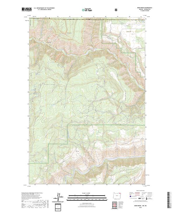
2023 Eden Ridge
Wallowa County, OR
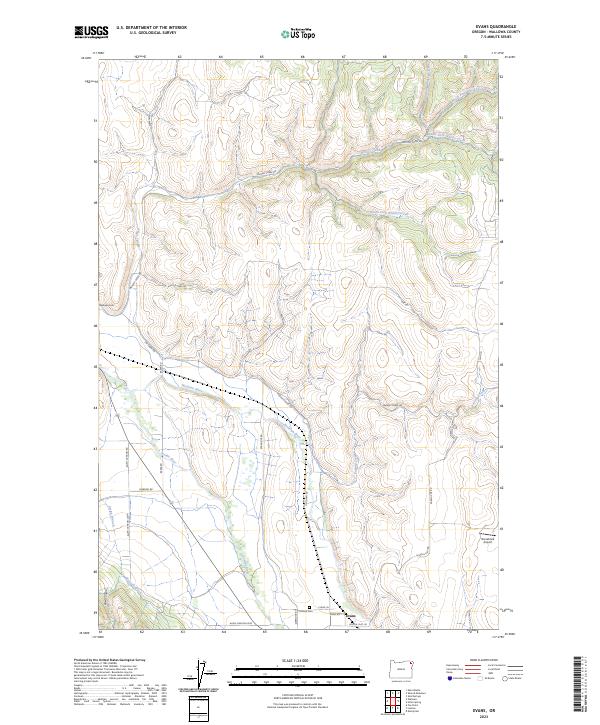
2023 Evans
Wallowa County, OR
2023 Fox Point
Wallowa County, OR
2023 Greenwood Butte
Wallowa County, OR
2023 Gumboot Butte
Wallowa County, OR
2023 Haas Hollow
Wallowa County, OR
2023 Harl Butte
Wallowa County, OR
2023 Hicks Spring
Wallowa County, OR
2023 Imnaha
Wallowa County, OR
2023 Jaynes Ridge
Wallowa County, OR
2023 Jim Creek Butte
Wallowa County, OR
2023 Jim White Ridge
Wallowa County, OR
2023 Joseph NW
Wallowa County, OR
2023 Kinney Lake
Wallowa County, OR
2023 Minam
Wallowa County, OR
2023 Poison Point
Wallowa County, OR
2023 Sheep Creek Divide
Wallowa County, OR
2023 Sherod Meadows
Wallowa County, OR
2023 Sleepy Ridge
Wallowa County, OR
2023 Squirrel Prairie
Wallowa County, OR
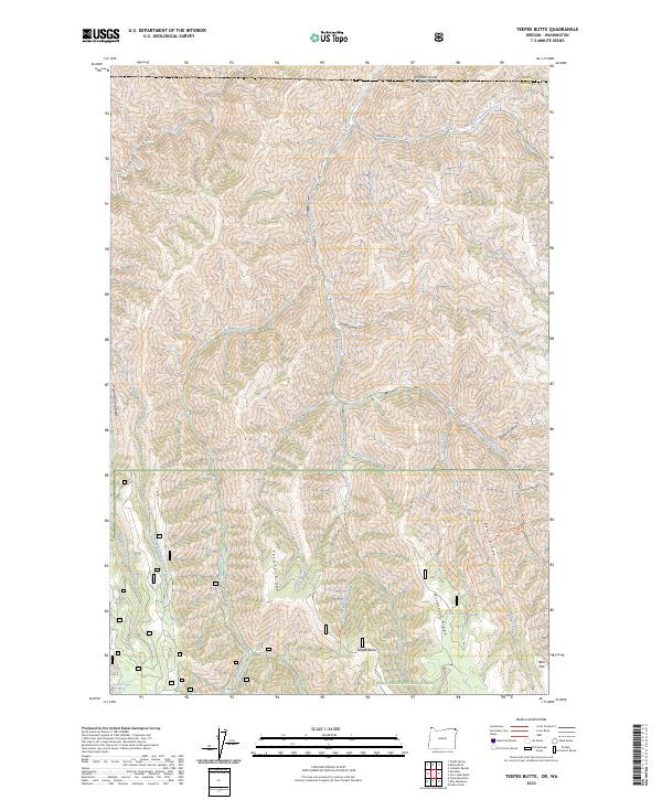
2023 Teepee Butte
Wallowa County, OR
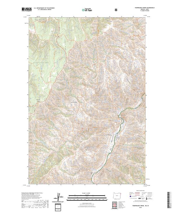
2023 Temperance Creek
Wallowa County, OR
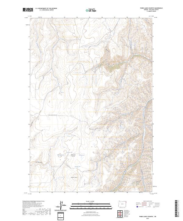
2023 Three Lakes Country
Wallowa County, OR
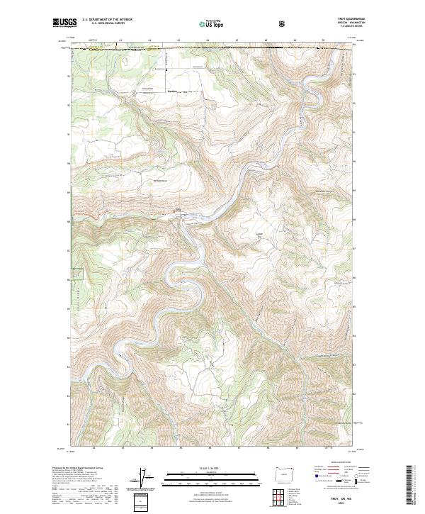
2023 Troy
Wallowa County, OR
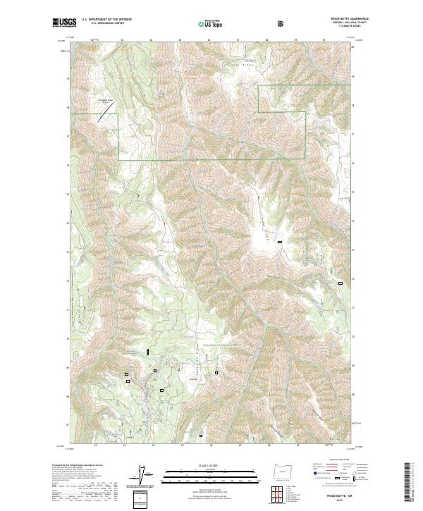
2023 Wood Butte
Wallowa County, OR
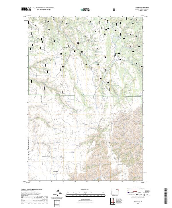
2023 Zumwalt
Wallowa County, OR
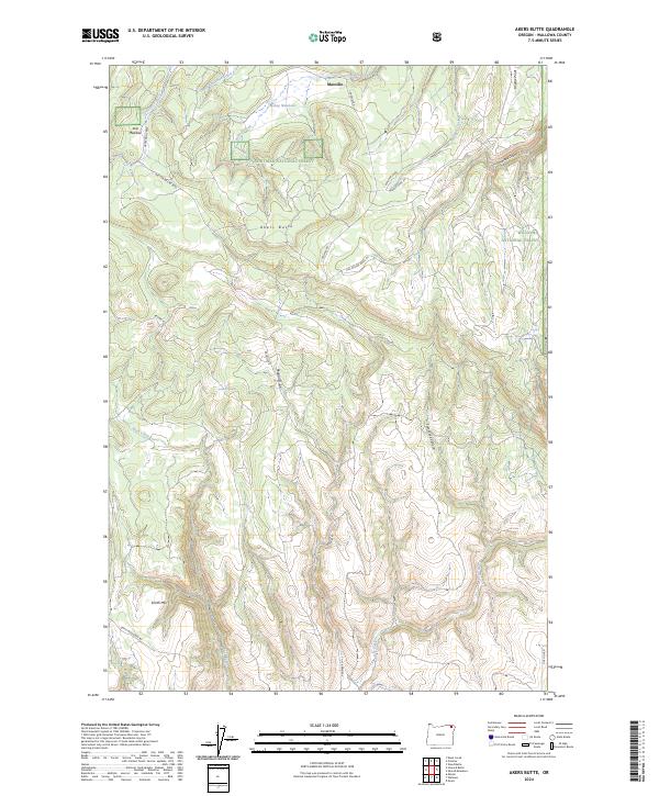
2024 Akers Butte
Wallowa County, OR
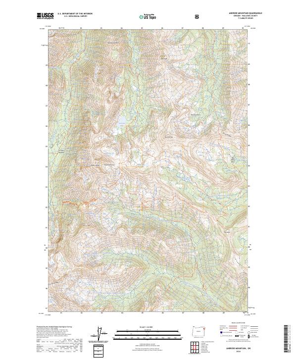
2024 Aneroid Mountain
Wallowa County, OR
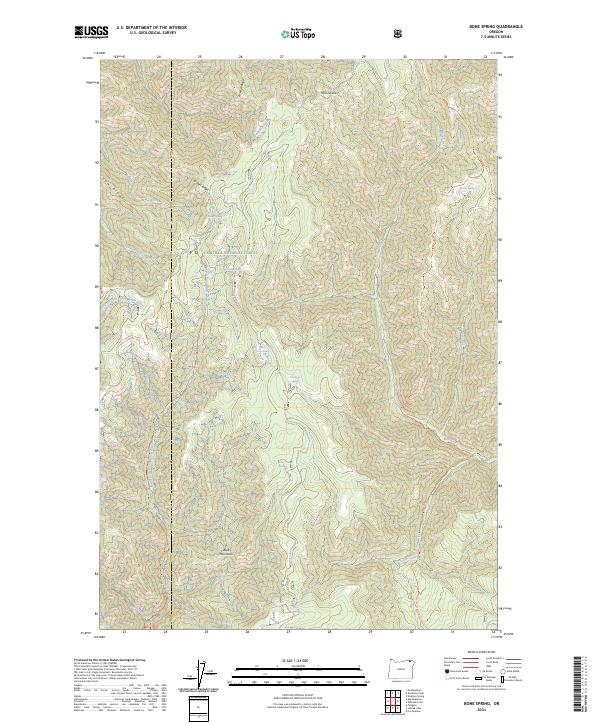
2024 Bone Spring
Wallowa County, OR
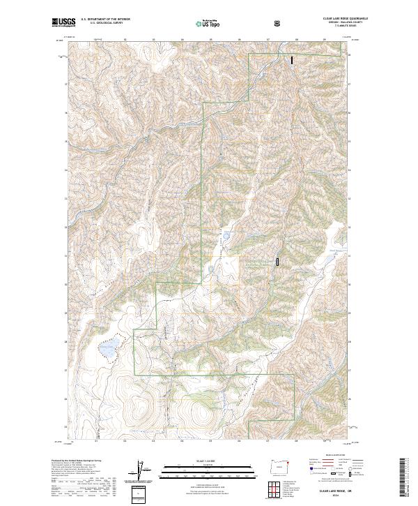
2024 Clear Lake Ridge
Wallowa County, OR
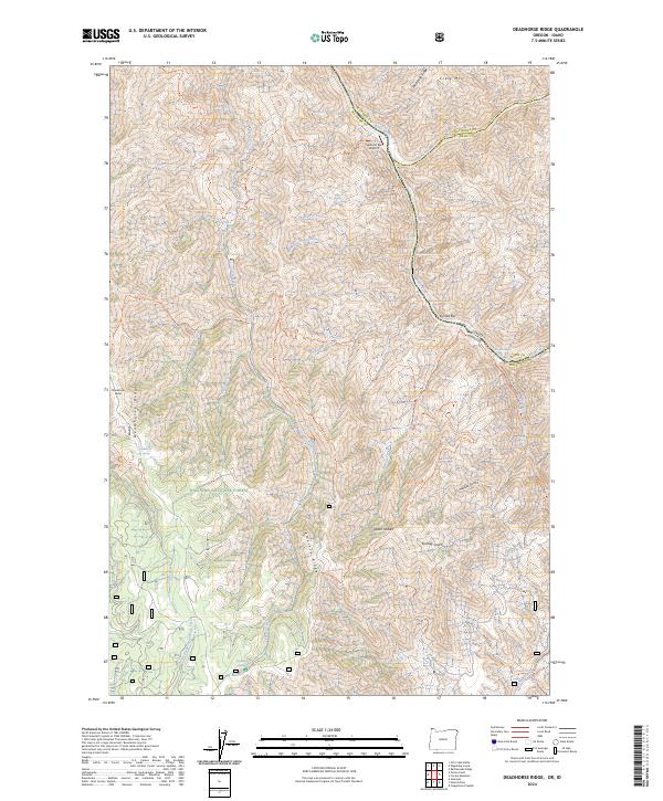
2024 Deadhorse Ridge
Wallowa County, OR
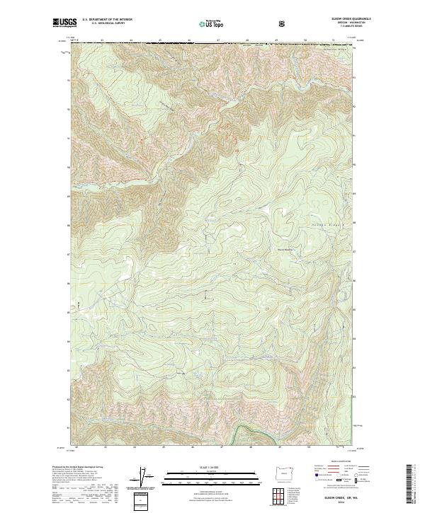
2024 Elbow Creek
Wallowa County, OR
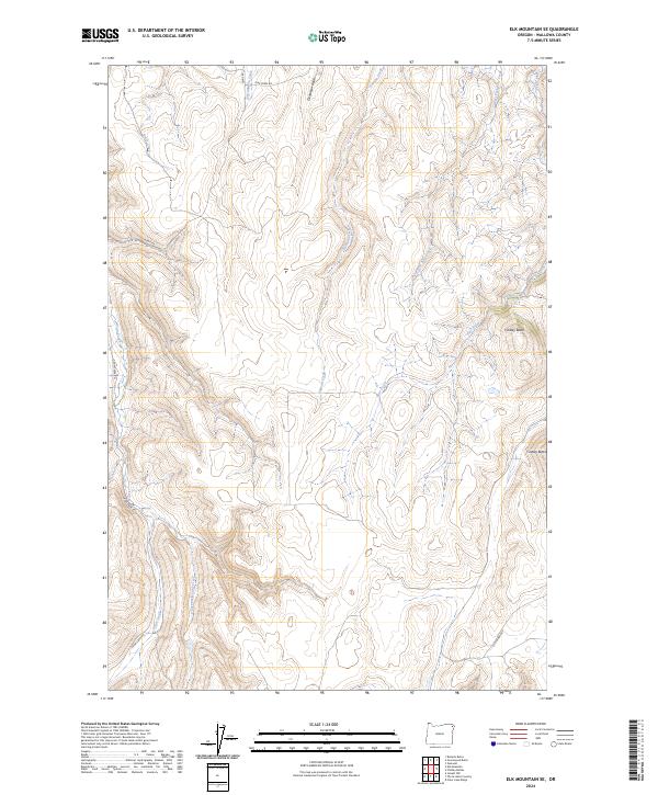
2024 Elk Mountain SE
Wallowa County, OR
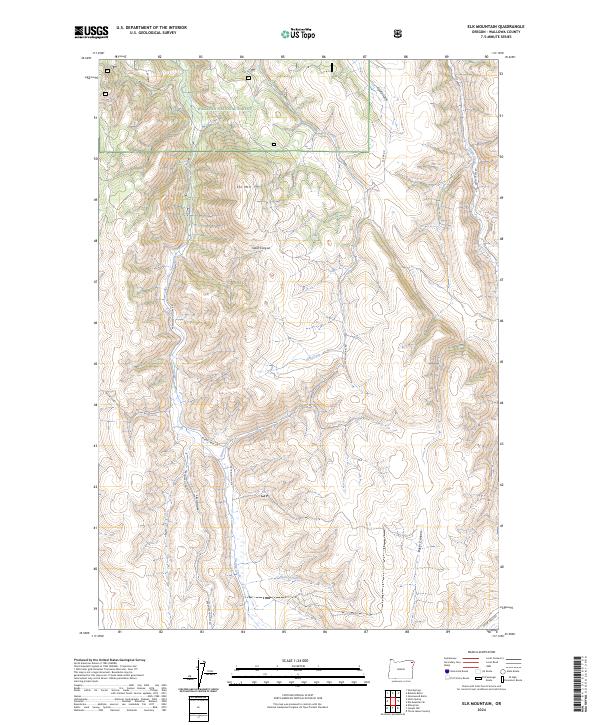
2024 Elk Mountain
Wallowa County, OR
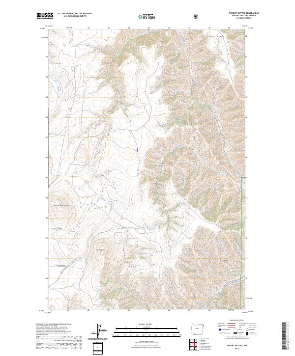
2024 Findley Buttes
Wallowa County, OR
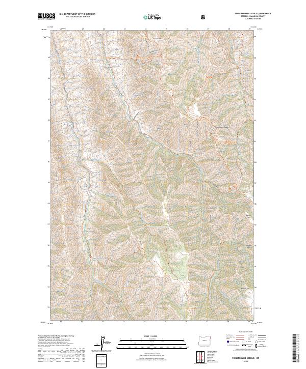
2024 Fingerboard Saddle
Wallowa County, OR
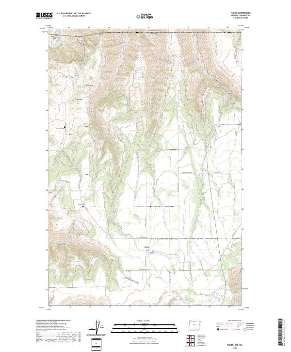
2024 Flora
Wallowa County, OR
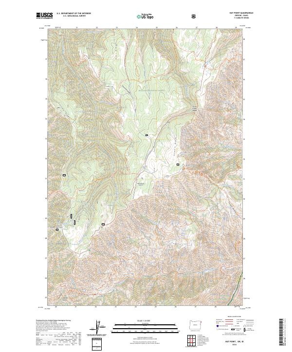
2024 Hat Point
Wallowa County, OR
2024 Howard Butte
Wallowa County, OR
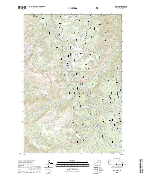
2024 Lick Creek
Wallowa County, OR
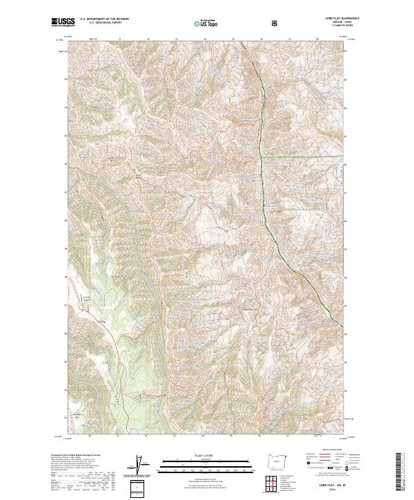
2024 Lord Flat
Wallowa County, OR
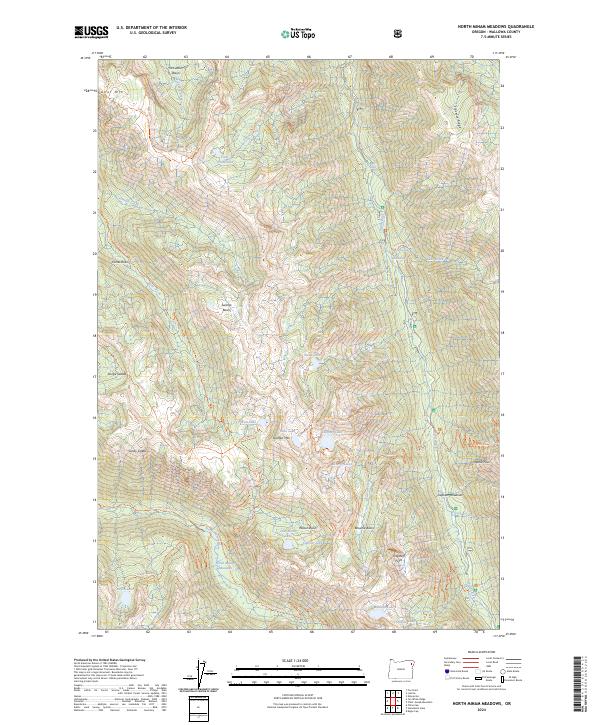
2024 North Minam Meadows
Wallowa County, OR
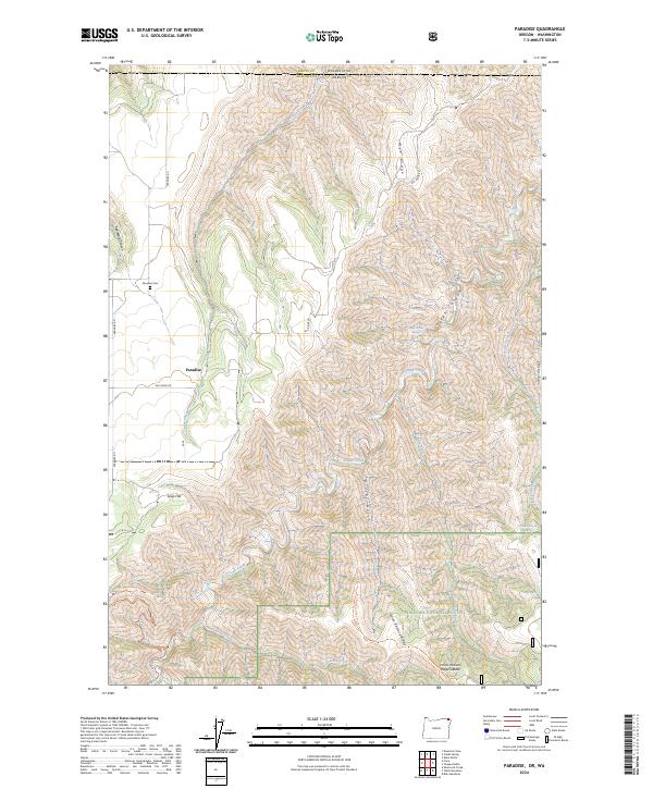
2024 Paradise
Wallowa County, OR

2024 Promise
Wallowa County, OR
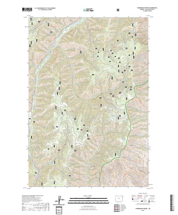
2024 Puderbaugh Ridge
Wallowa County, OR
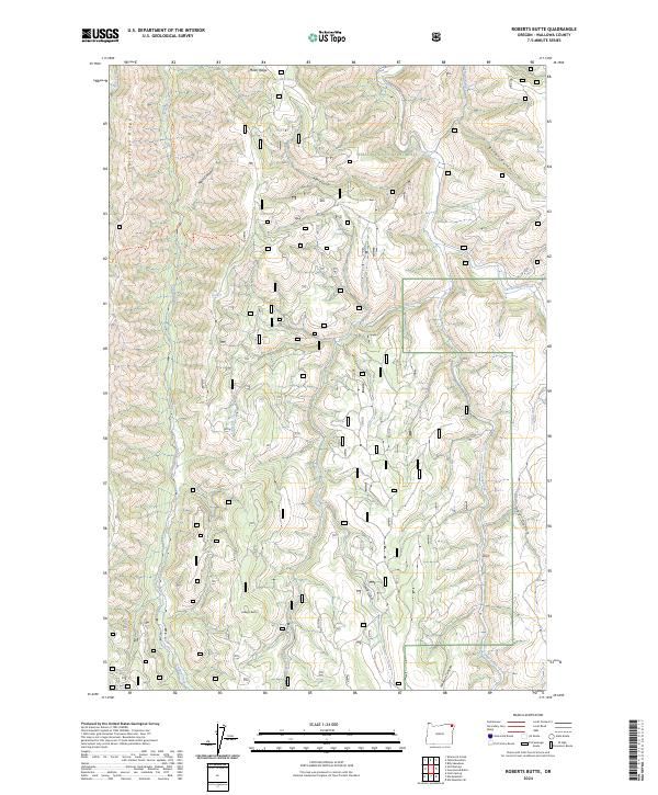
2024 Roberts Butte
Wallowa County, OR
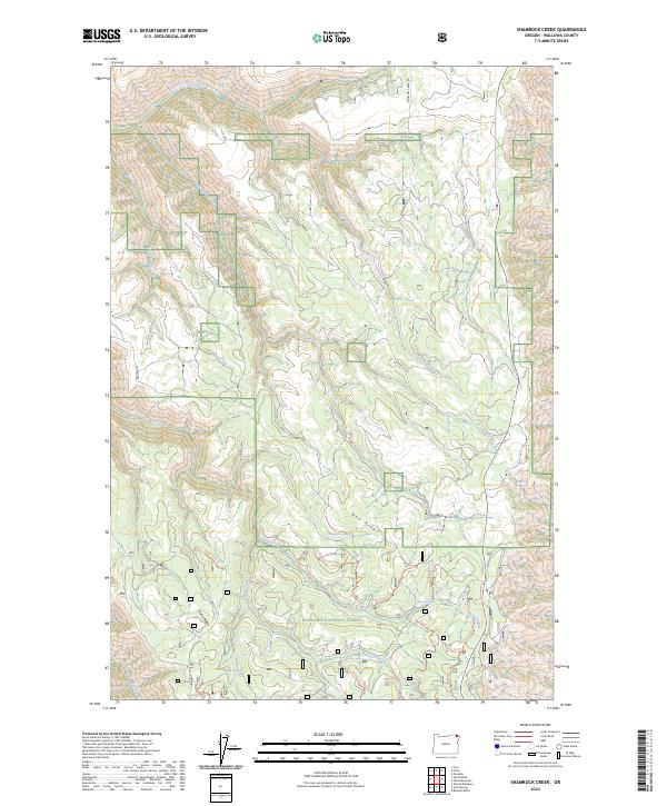
2024 Shamrock Creek
Wallowa County, OR
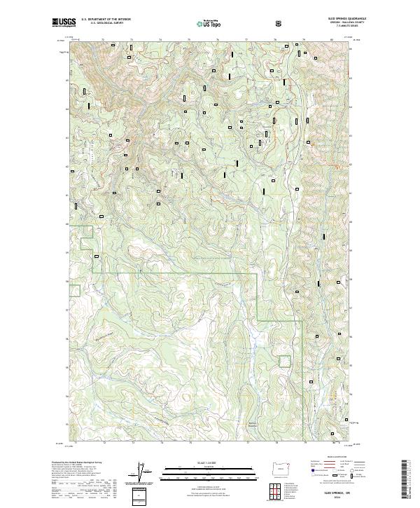
2024 Sled Springs
Wallowa County, OR
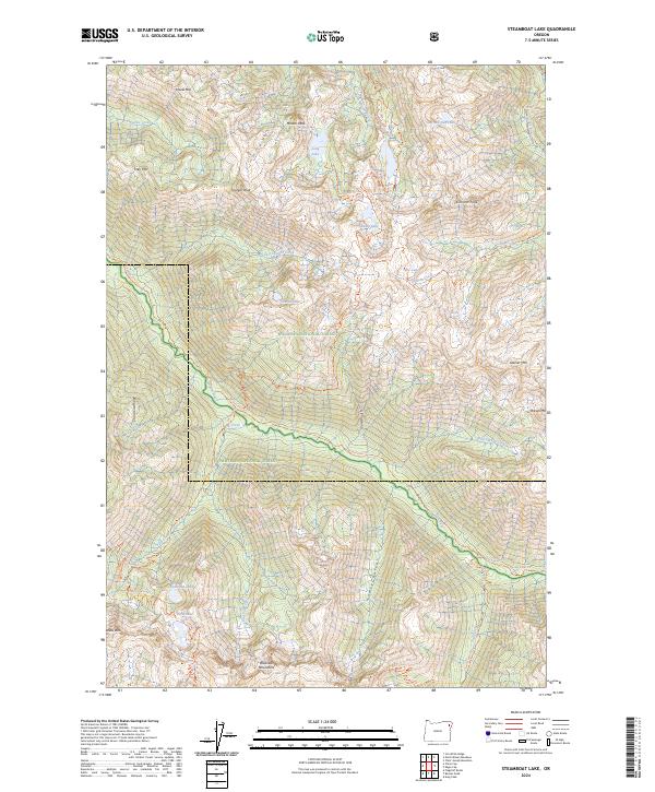
2024 Steamboat Lake
Wallowa County, OR
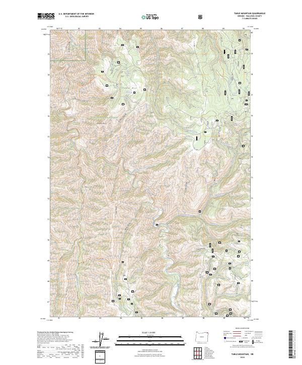
2024 Table Mountain
Wallowa County, OR
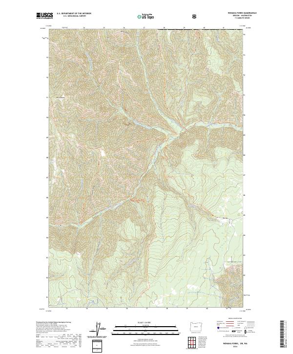
2024 Wenaha Forks
Wallowa County, OR