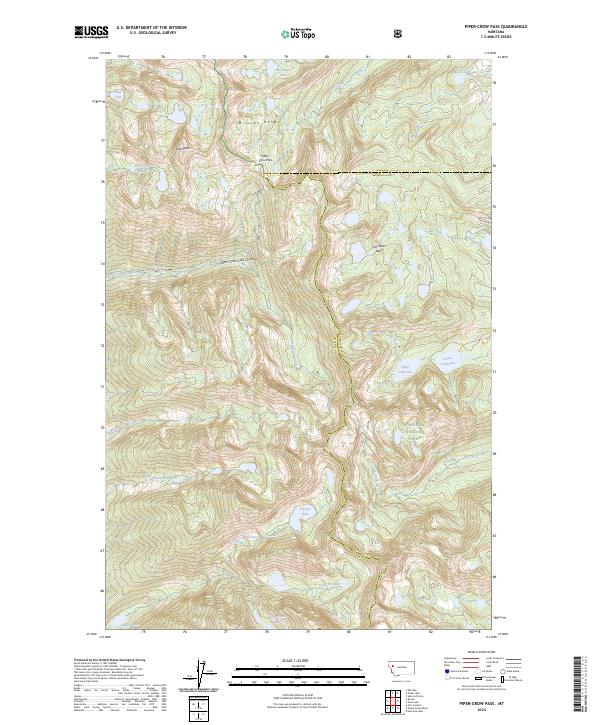
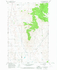
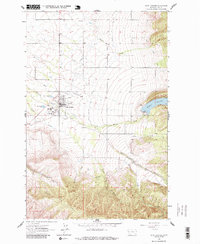
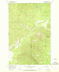
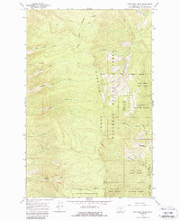
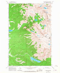
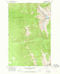
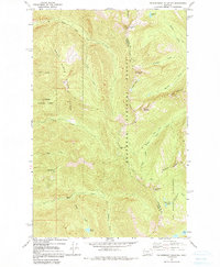
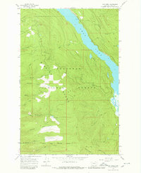
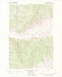
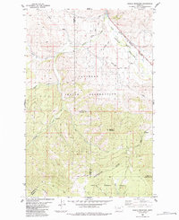
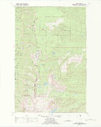
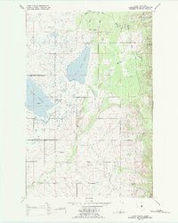
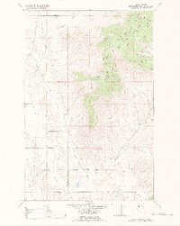
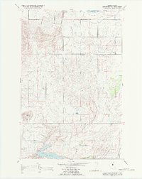
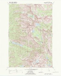
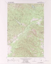
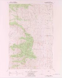
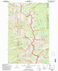
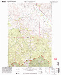
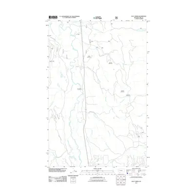
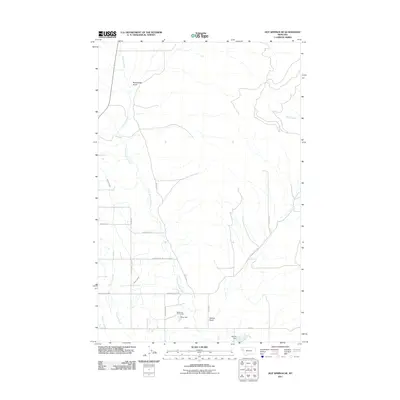
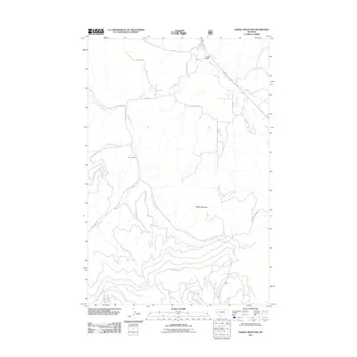
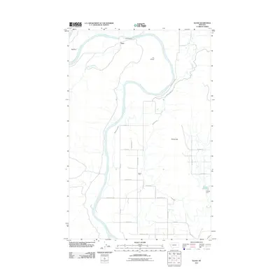
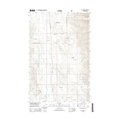
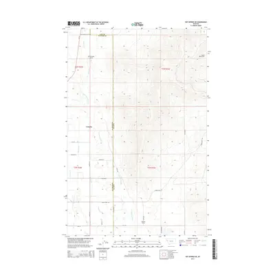
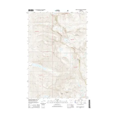
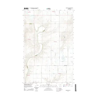
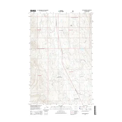
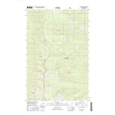
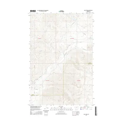
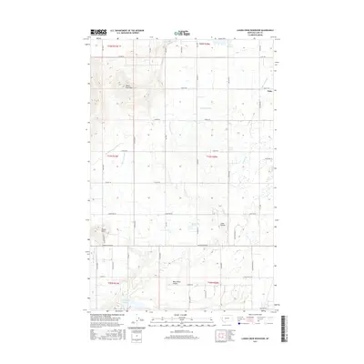
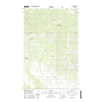
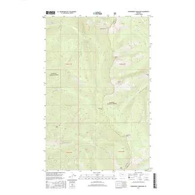
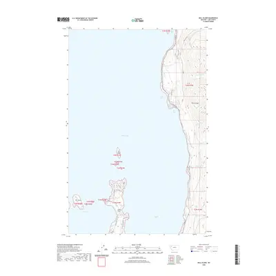
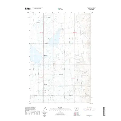
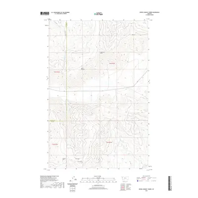
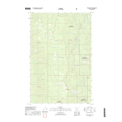
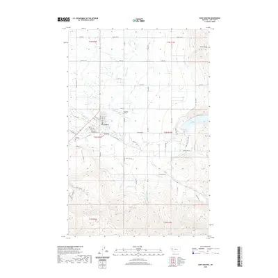
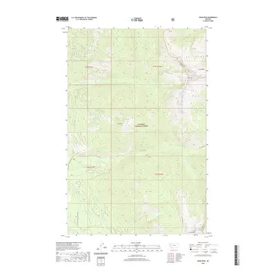
2024 Map of Piper-Crow Pass
USGS Topo · Published 2024About this map
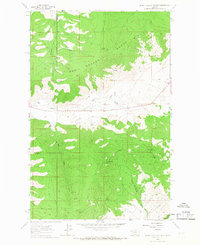
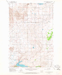
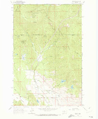
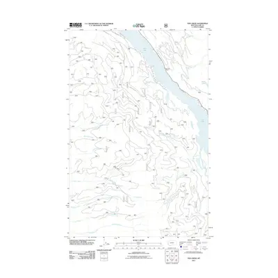
The Mission Range forms the spine of this landscape, where the high alpine terrain is protected within the Mission Mountains Wilderness. This remote area, part of the Flathead National Forest, is defined by its dramatic hydrography, featuring a concentration of high-altitude lakes and dramatic elevation drops. The central Piper-Crow Pass serves as a critical geographic marker between the drainage of Piper Creek to the north and the complex Crow Creek Lakes system to the south.
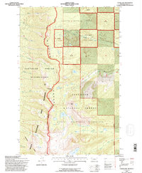
Find a feature on this map
37 named features on this map. Tap any name to fly to it.
Don’t see what you’re looking for? This feature index may not catch every label — zoom into the map to look around manually.
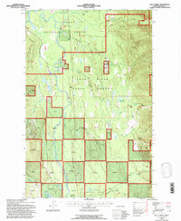
Map Details
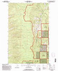
Editions of this 2024 Piper-Crow Pass Map
This is the sole edition of this map. No revisions or reprints were ever made.
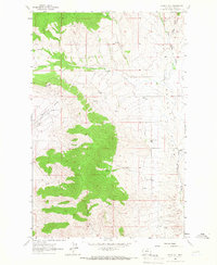
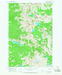
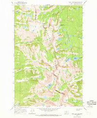
Historical Maps of Missoula County Through Time
173 maps found

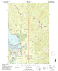
1920 Flathead Lake
Lake County, MT
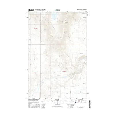
1964 Buffalo Bridge
Lake County, MT
1964 Bull Island
Lake County, MT
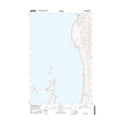
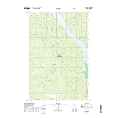
1964 East Bay
Lake County, MT

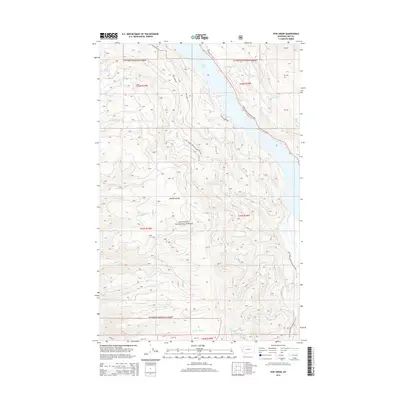
1964 Fort Connah
Lake County, MT
1964 Hot Springs NE
Lake County, MT
1964 Irvine Lookout Tower
Lake County, MT
1964 Lower Crow Reservoir
Lake County, MT
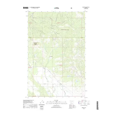
1964 Proctor
Lake County, MT
1964 Saint Ignatius
Lake County, MT
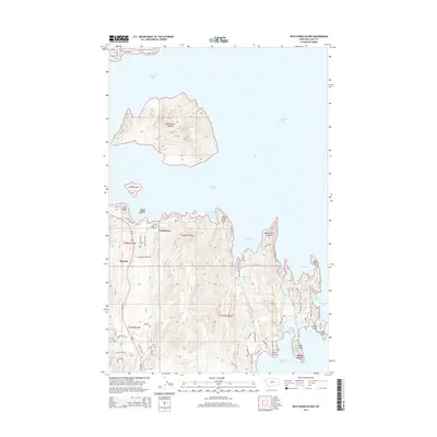
1964 Wild Horse Island
Lake County, MT
1965 Cedar Lake
Lake County, MT
1965 Cilly Creek
Lake County, MT
1965 Gold Creek
Lake County, MT
1965 Irvine Hill
Lake County, MT
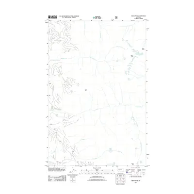
1965 Mount Harding
Lake County, MT
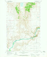
1965 Piper-Crow Pass
Lake County, MT
1965 Porcupine Creek
Lake County, MT
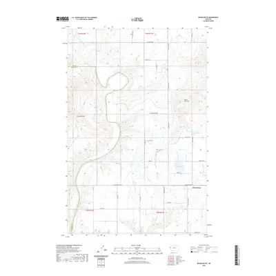
1965 Round Butte
Lake County, MT
1965 Salmon Prairie
Lake County, MT
1965 Sloan
Lake County, MT
1965 St Marys Lake
Lake County, MT
1965 Swan Peak
Lake County, MT
1965 Thunderbolt Mountain
Lake County, MT
1965 Yew Creek
Lake County, MT
1982 Irvine Lookout Tower
Lake County, MT
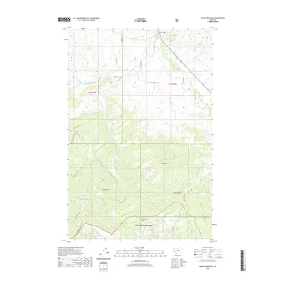
1984 Saddle Mountain
Lake County, MT
1988 Cedar Lake
Lake County, MT

1988 East Bay
Lake County, MT
1988 Fort Connah
Lake County, MT
1988 Hot Springs NE
Lake County, MT
1988 Lower Crow Reservoir
Lake County, MT
1988 Mount Harding
Lake County, MT
1989 Gold Creek
Lake County, MT
1989 Irvine Hill
Lake County, MT
1994 Cedar Lake
Lake County, MT
1994 Cilly Creek
Lake County, MT
1994 Mount Harding
Lake County, MT
1994 Piper-Crow Pass
Lake County, MT
1994 Porcupine Creek
Lake County, MT
1994 Proctor
Lake County, MT

1994 Salmon Prairie
Lake County, MT
1994 St Marys Lake
Lake County, MT
1994 Swan lake
Lake County, MT
1994 Swan Peak
Lake County, MT
1994 Thunderbolt Mountain
Lake County, MT
1994 Yew Creek
Lake County, MT
1999 Saddle Mountain
Lake County, MT
2011 Buffalo Bridge
Lake County, MT
2011 Bull Island
Lake County, MT
2011 Cedar Lake
Lake County, MT
2011 Cilly Creek
Lake County, MT
2011 East Bay
Lake County, MT
2011 Fort Connah
Lake County, MT
2011 Gold Creek
Lake County, MT
2011 Hot Springs NE
Lake County, MT
2011 Irvine Hill
Lake County, MT
2011 Irvine Lookout Tower
Lake County, MT
2011 Lower Crow Reservoir
Lake County, MT

2011 Mount Calowahcan
Lake County, MT
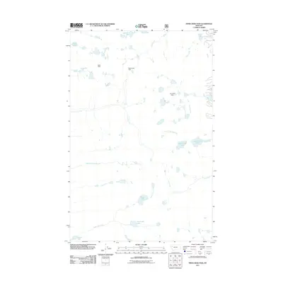
2011 Piper-Crow Pass
Lake County, MT
2011 Porcupine Creek
Lake County, MT
2011 Proctor
Lake County, MT
2011 Round Butte
Lake County, MT
2011 Saddle Mountain
Lake County, MT
2011 Saint Ignatius
Lake County, MT
2011 Saint Marys Lake
Lake County, MT
2011 Salmon Prairie
Lake County, MT
2011 Sloan
Lake County, MT
2011 Swan Peak
Lake County, MT
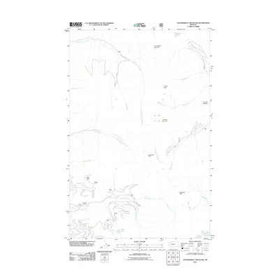
2011 Thunderbolt Mountain
Lake County, MT
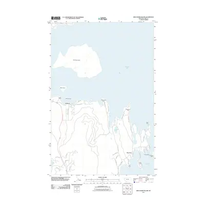
2011 Wild Horse Island
Lake County, MT
2011 Yew Creek
Lake County, MT
2014 Buffalo Bridge
Lake County, MT
2014 Bull Island
Lake County, MT
2014 Cedar Lake
Lake County, MT
2014 Cilly Creek
Lake County, MT
2014 East Bay
Lake County, MT
2014 Fort Connah
Lake County, MT
2014 Gold Creek
Lake County, MT
2014 Hot Springs NE
Lake County, MT
2014 Irvine Hill
Lake County, MT
2014 Irvine Lookout Tower
Lake County, MT
2014 Lower Crow Reservoir
Lake County, MT
2014 Mount Calowahcan
Lake County, MT
2014 Piper-Crow Pass
Lake County, MT
2014 Porcupine Creek
Lake County, MT
2014 Proctor
Lake County, MT
2014 Round Butte
Lake County, MT
2014 Saddle Mountain
Lake County, MT
2014 Saint Ignatius
Lake County, MT
2014 Saint Marys Lake
Lake County, MT
2014 Salmon Prairie
Lake County, MT
2014 Sloan
Lake County, MT
2014 Swan Peak
Lake County, MT
2014 Thunderbolt Mountain
Lake County, MT
2014 Wild Horse Island
Lake County, MT
2014 Yew Creek
Lake County, MT
2017 Buffalo Bridge
Lake County, MT
2017 Bull Island
Lake County, MT
2017 Cedar Lake
Lake County, MT
2017 Cilly Creek
Lake County, MT
2017 East Bay
Lake County, MT
2017 Fort Connah
Lake County, MT
2017 Gold Creek
Lake County, MT
2017 Hot Springs NE
Lake County, MT
2017 Irvine Hill
Lake County, MT
2017 Irvine Lookout Tower
Lake County, MT
2017 Lower Crow Reservoir
Lake County, MT
2017 Mount Calowahcan
Lake County, MT
2017 Piper-Crow Pass
Lake County, MT
2017 Porcupine Creek
Lake County, MT
2017 Proctor
Lake County, MT
2017 Round Butte
Lake County, MT
2017 Saddle Mountain
Lake County, MT
2017 Saint Ignatius
Lake County, MT
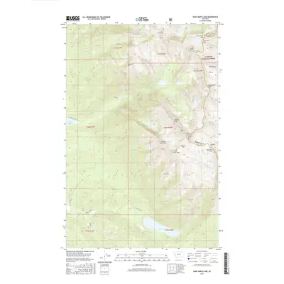
2017 Saint Marys Lake
Lake County, MT
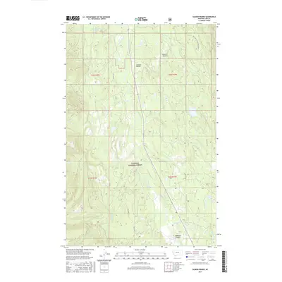
2017 Salmon Prairie
Lake County, MT
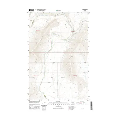
2017 Sloan
Lake County, MT
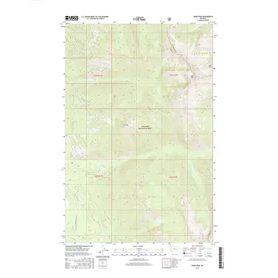
2017 Swan Peak
Lake County, MT
2017 Thunderbolt Mountain
Lake County, MT
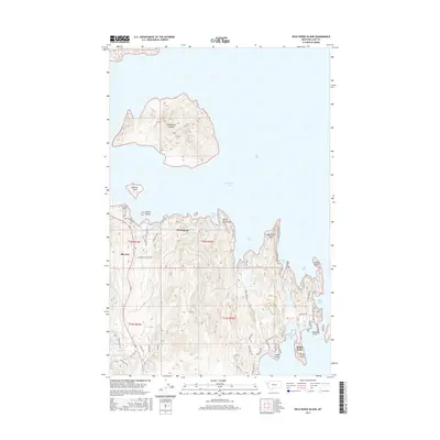
2017 Wild Horse Island
Lake County, MT
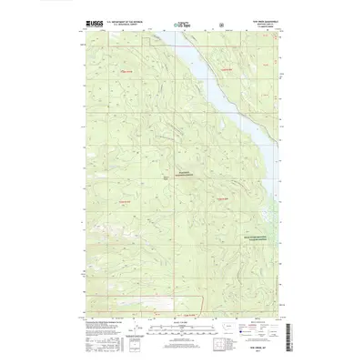
2017 Yew Creek
Lake County, MT
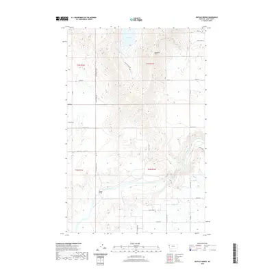
2020 Buffalo Bridge
Lake County, MT
2020 Bull Island
Lake County, MT
2020 Cedar Lake
Lake County, MT
2020 Cilly Creek
Lake County, MT
2020 East Bay
Lake County, MT
2020 Fort Connah
Lake County, MT
2020 Gold Creek
Lake County, MT
2020 Hot Springs NE
Lake County, MT
2020 Irvine Hill
Lake County, MT
2020 Irvine Lookout Tower
Lake County, MT
2020 Lower Crow Reservoir
Lake County, MT
2020 Mount Calowahcan
Lake County, MT
2020 Piper-Crow Pass
Lake County, MT
2020 Porcupine Creek
Lake County, MT
2020 Proctor
Lake County, MT
2020 Round Butte
Lake County, MT
2020 Saddle Mountain
Lake County, MT
2020 Saint Ignatius
Lake County, MT
2020 Saint Marys Lake
Lake County, MT
2020 Salmon Prairie
Lake County, MT
2020 Sloan
Lake County, MT
2020 Swan Peak
Lake County, MT
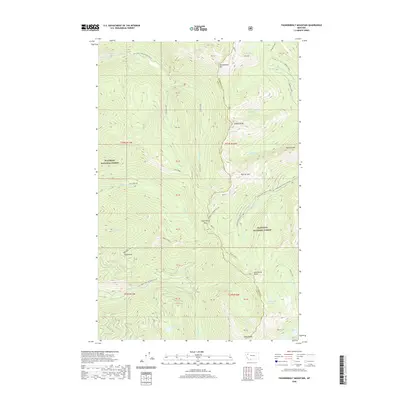
2020 Thunderbolt Mountain
Lake County, MT
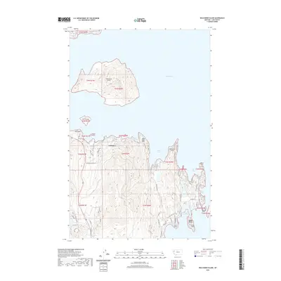
2020 Wild Horse Island
Lake County, MT
2020 Yew Creek
Lake County, MT
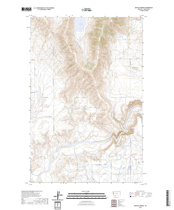
2024 Buffalo Bridge
Lake County, MT
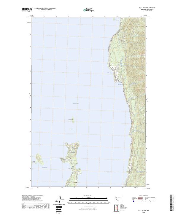
2024 Bull Island
Lake County, MT
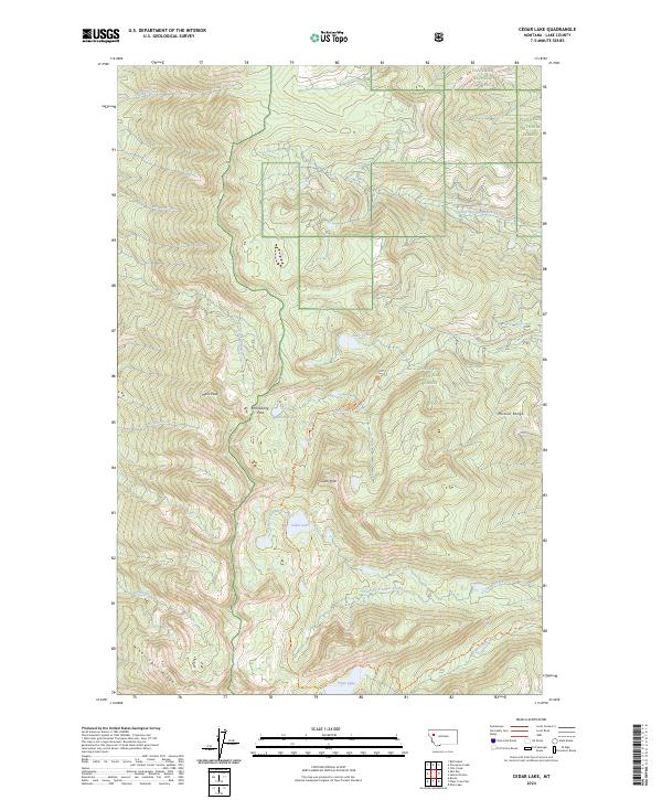
2024 Cedar Lake
Lake County, MT
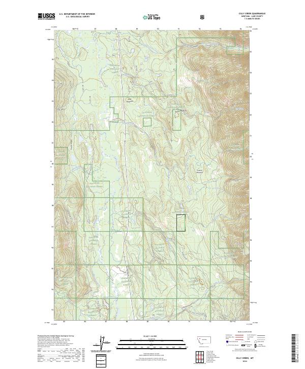
2024 Cilly Creek
Lake County, MT
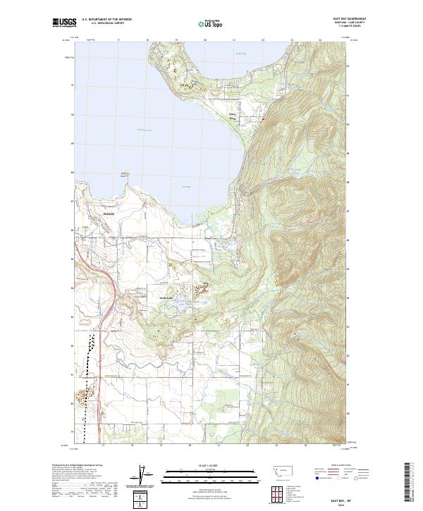
2024 East Bay
Lake County, MT
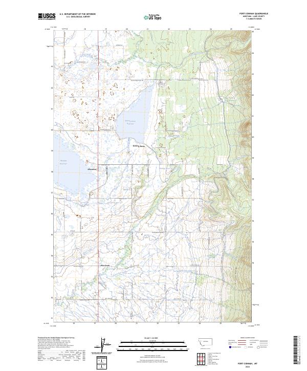
2024 Fort Connah
Lake County, MT
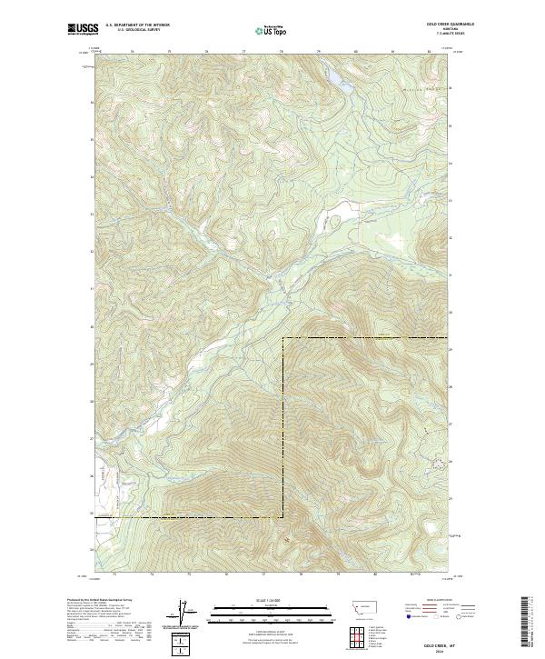
2024 Gold Creek
Lake County, MT
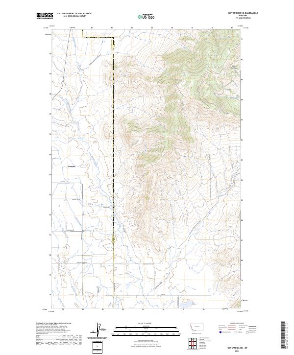
2024 Hot Springs NE
Lake County, MT
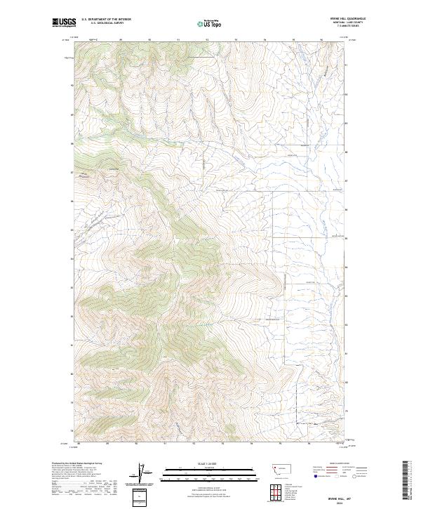
2024 Irvine Hill
Lake County, MT
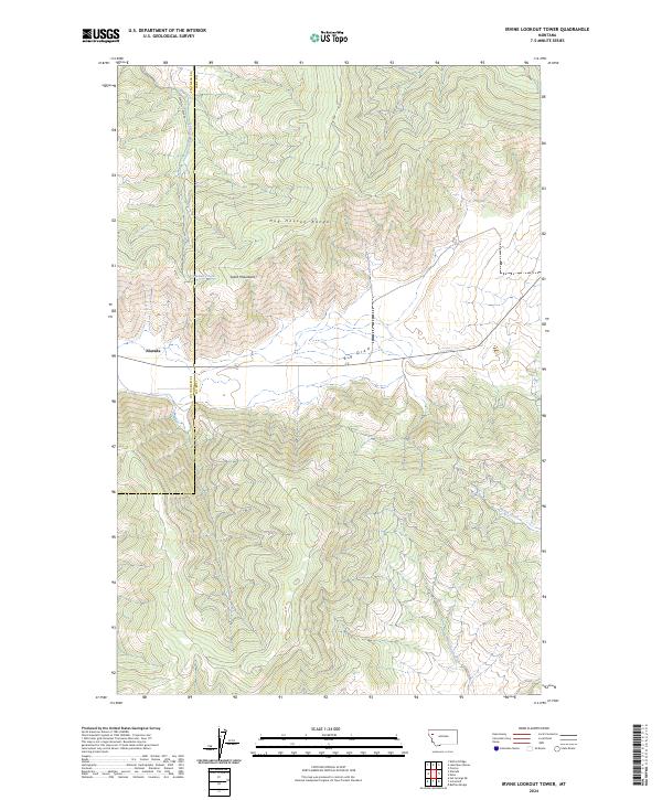
2024 Irvine Lookout Tower
Lake County, MT
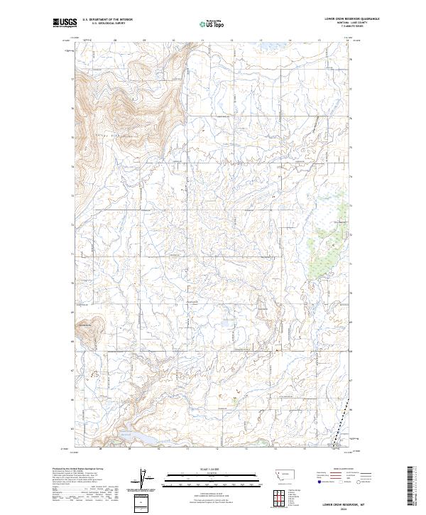
2024 Lower Crow Reservoir
Lake County, MT
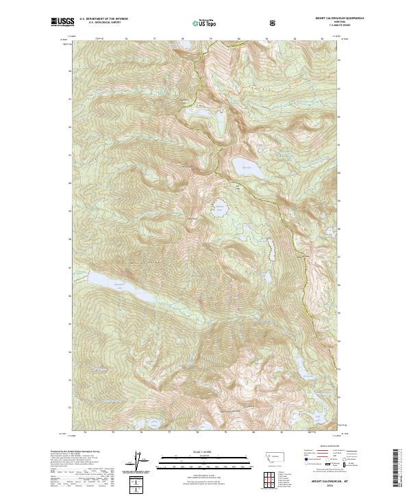
2024 Mount Calowahcan
Lake County, MT
2024 Piper-Crow Pass
Lake County, MT
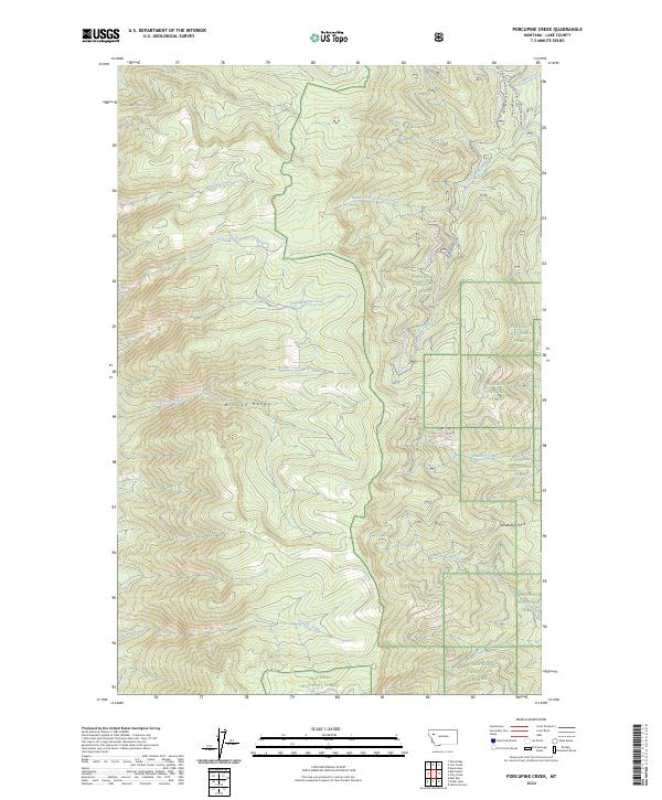
2024 Porcupine Creek
Lake County, MT
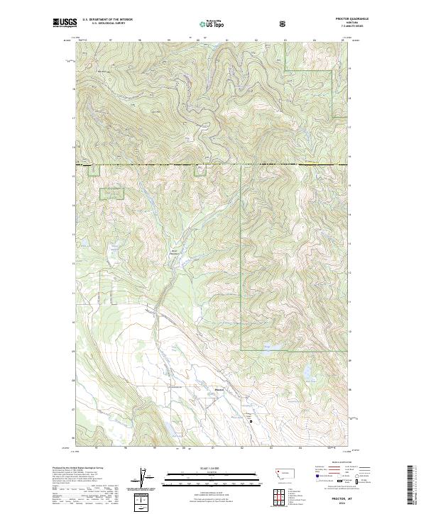
2024 Proctor
Lake County, MT
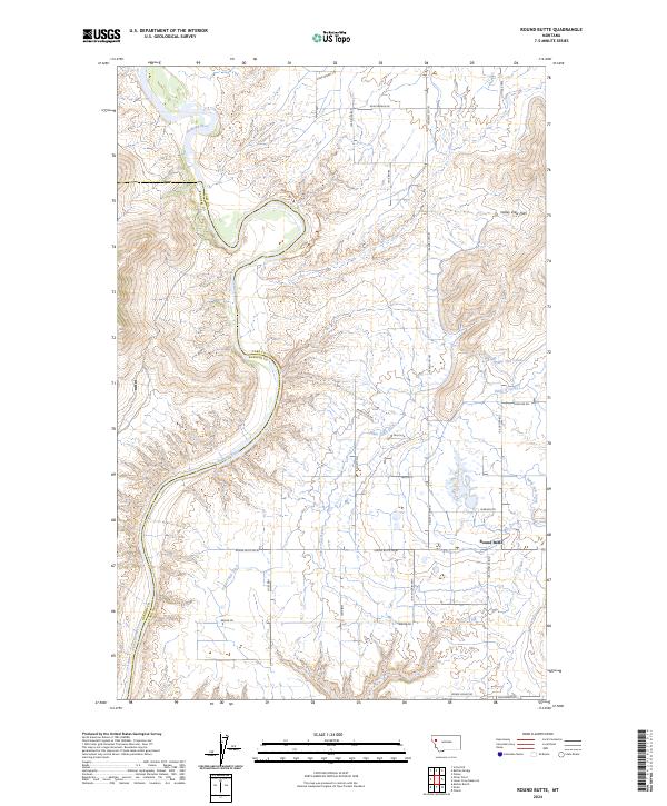
2024 Round Butte
Lake County, MT
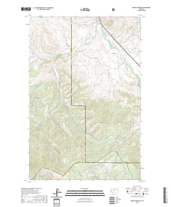
2024 Saddle Mountain
Lake County, MT
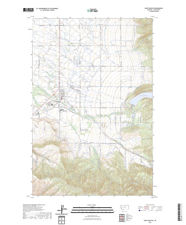
2024 Saint Ignatius
Lake County, MT
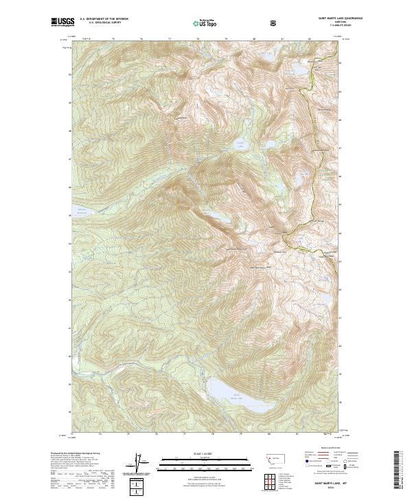
2024 Saint Marys Lake
Lake County, MT
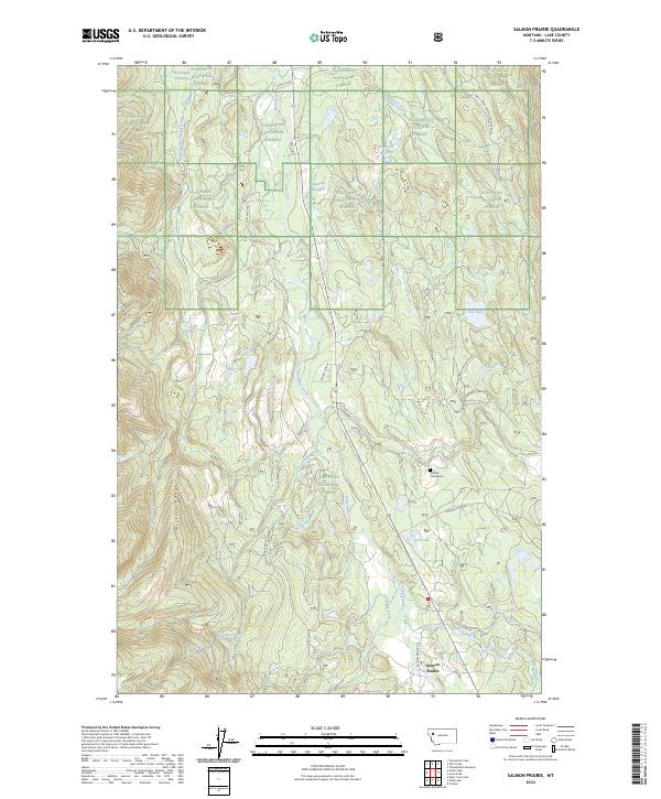
2024 Salmon Prairie
Lake County, MT
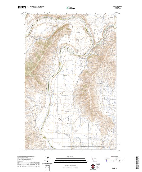
2024 Sloan
Lake County, MT
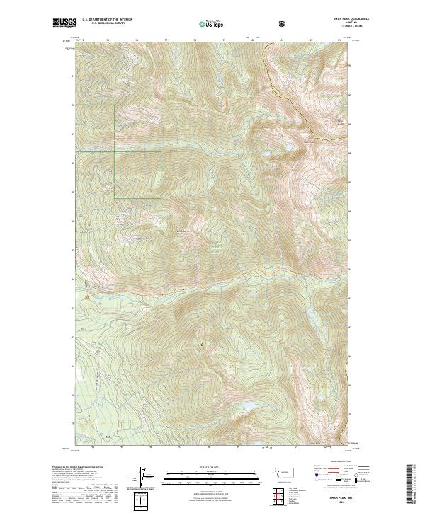
2024 Swan Peak
Lake County, MT
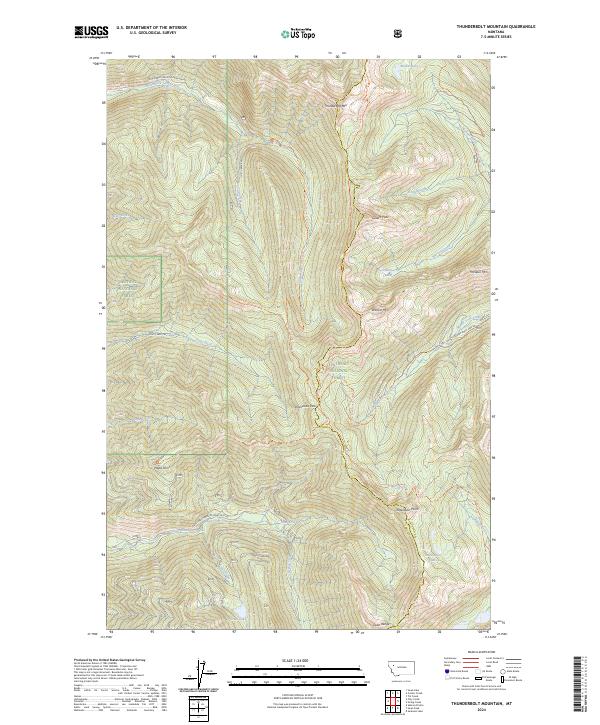
2024 Thunderbolt Mountain
Lake County, MT
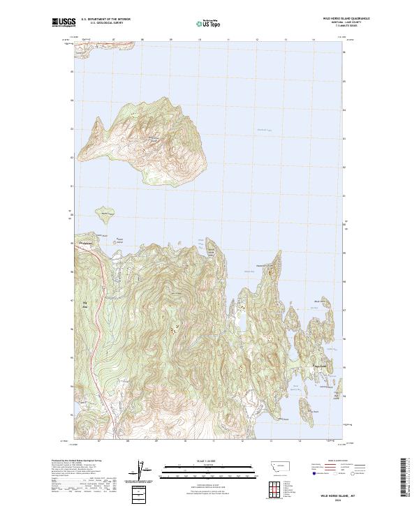
2024 Wild Horse Island
Lake County, MT
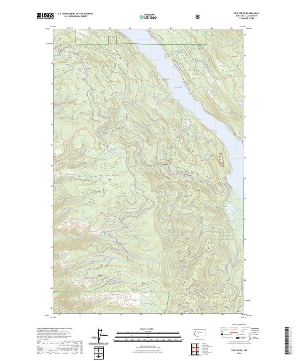
2024 Yew Creek
Lake County, MT