
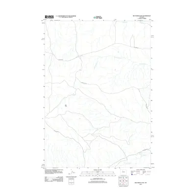
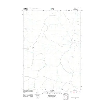
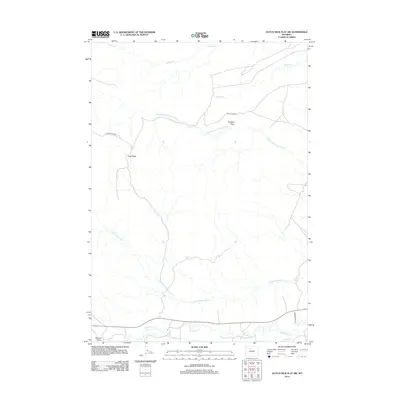
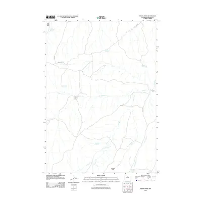
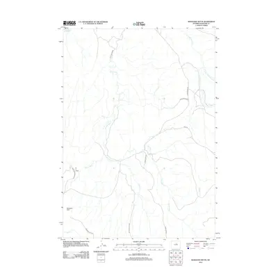
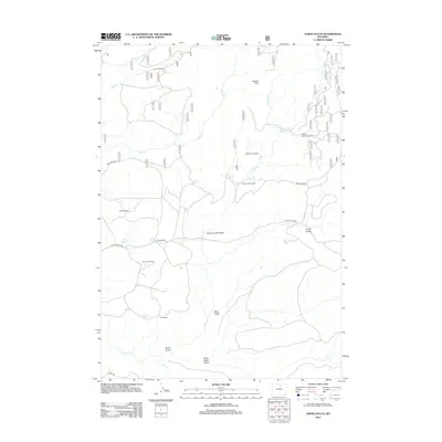
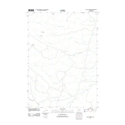
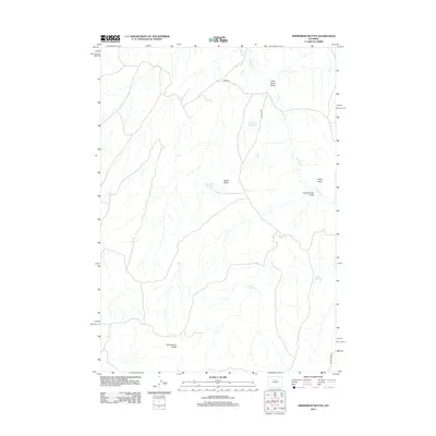
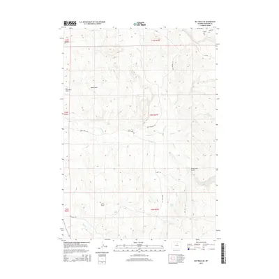
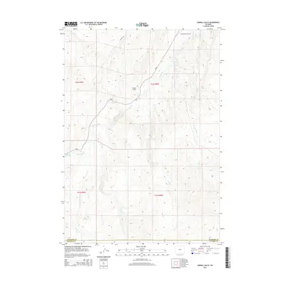
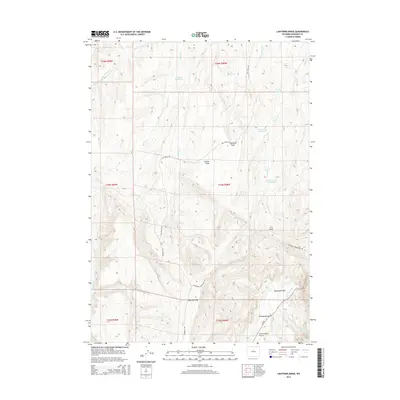
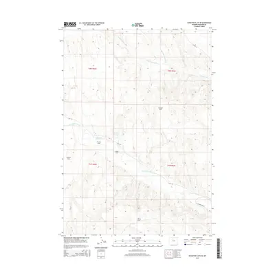
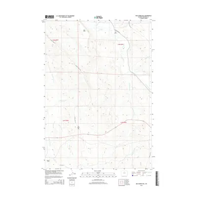
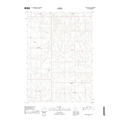
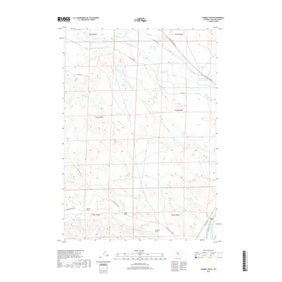
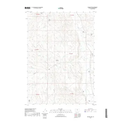
1985 Map of Blue Mesa East
USGS Topo · Published 1985About this map
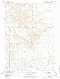
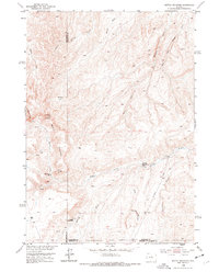
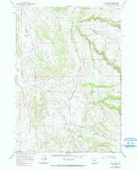
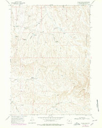
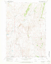
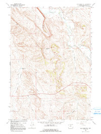
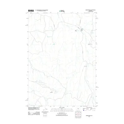
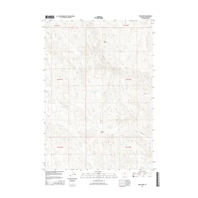
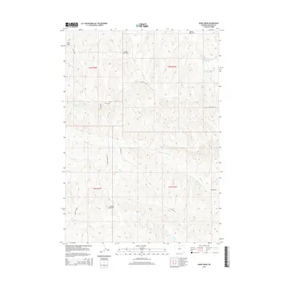
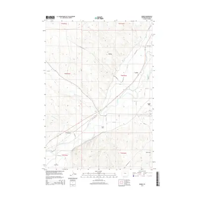
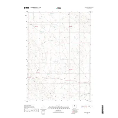
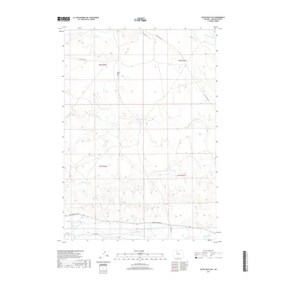
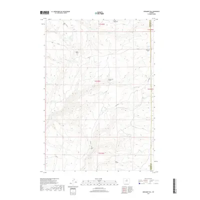
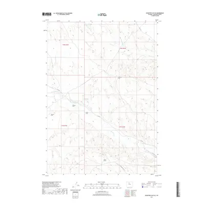
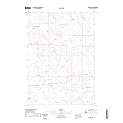
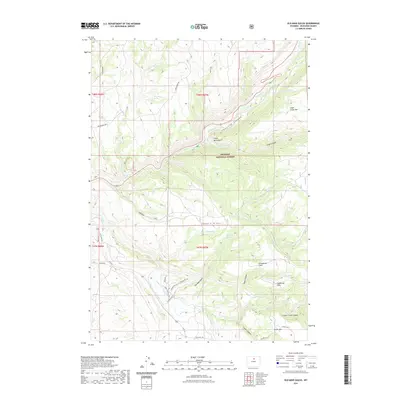
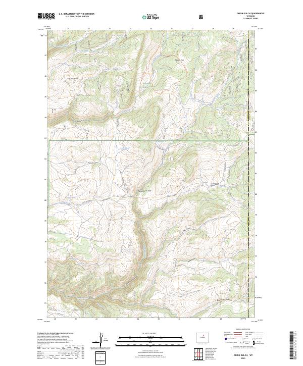
Blue Mesa and the prominent Boulder Ridge dominate this central Wyoming landscape along the border of Washakie and Hot Springs counties. Compiled from 1976 aerial photography, the map reveals a complex network of drainage systems including Gooseberry Creek and Little Gooseberry Creek in the north, and Cottonwood Creek in the south. The terrain is deeply incised by features such as Boulder Gulch and Spring Gulch, indicating a highly eroded high-plains environment. A single named water source, Keg Spring, appears within one of these gulches, highlighting the significance of reliable water in this arid region. The boundary between the two counties is clearly delineated as it traverses the high ground of the ridge, offering a specific look at the jurisdictional divisions of the mid-1980s.
Find a feature on this map
11 named features on this map. Tap any name to fly to it.
Don’t see what you’re looking for? This feature index may not catch every label — zoom into the map to look around manually.
Map Details
Editions of this 1985 Blue Mesa East Map
This is the sole edition of this map. No revisions or reprints were ever made.
Historical Maps of Hot Springs County Through Time
181 maps found
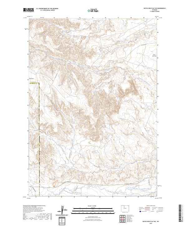
1951 Dutch Nick Flat SW
Washakie County, WY
1951 Dutch Nick Flat
Washakie County, WY
1951 Schuster Flats SE
Washakie County, WY
1951 Schuster Flats
Washakie County, WY
1952 Battle Mountain
Washakie County, WY

1966 Bader Draw
Washakie County, WY
1966 Banjo Flats East
Washakie County, WY
1966 Banjo Flats West
Washakie County, WY
1966 Big Trails NE
Washakie County, WY
1966 Big Trails
Washakie County, WY
1966 Cabin Fork
Washakie County, WY

1966 Castle Gardens
Washakie County, WY

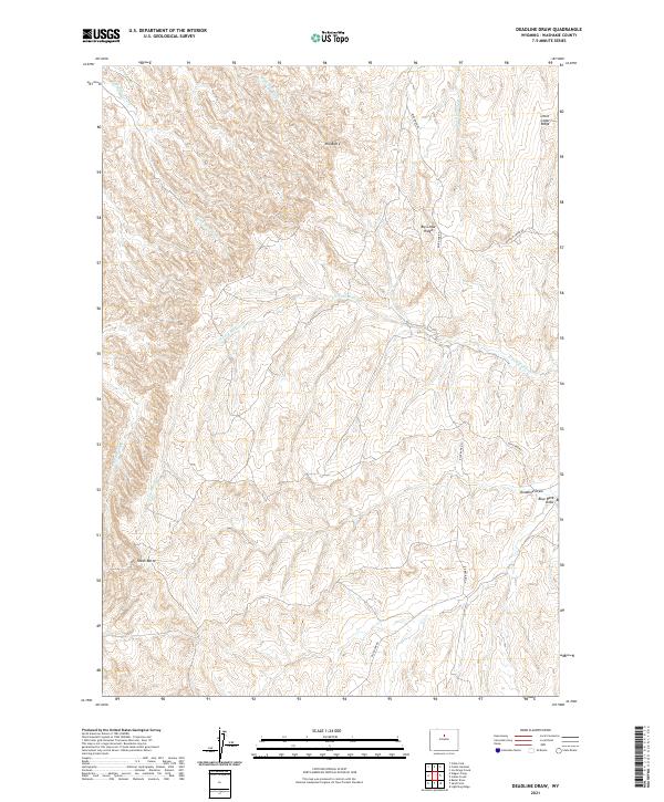
1966 Deadline Draw
Washakie County, WY
1966 Henry Draw
Washakie County, WY

1966 Indian Creek
Washakie County, WY
1966 Joe Emge Creek
Washakie County, WY

1966 Monument Hill
Washakie County, WY

1966 Sand Point
Washakie County, WY

1966 Tallon Spring
Washakie County, WY
1966 Wagon Prong
Washakie County, WY
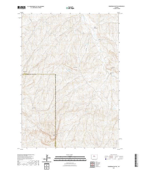
1966 Zimmerman Buttes
Washakie County, WY
1967 Broom Draw
Washakie County, WY
1967 Cherry Creek Hill
Washakie County, WY
1967 Cornell Gulch
Washakie County, WY

1967 Horse Butte
Washakie County, WY
1967 Lightning Ridge
Washakie County, WY

1967 Lost Creek
Washakie County, WY
1967 Mahogany Butte
Washakie County, WY

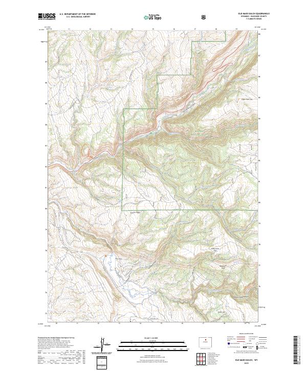
1967 Old Maid Gulch
Washakie County, WY
1967 Onion Gulch
Washakie County, WY
1967 Wild Horse Hill
Washakie County, WY
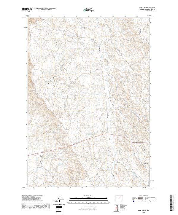
1967 Worland SE
Washakie County, WY

1979 Nowater Creek
Washakie County, WY
1985 Blue Mesa East
Washakie County, WY
1985 Chimney Gulch
Washakie County, WY

1985 Neiber
Washakie County, WY
1993 Old Maid Gulch
Washakie County, WY

1993 Onion Gulch
Washakie County, WY
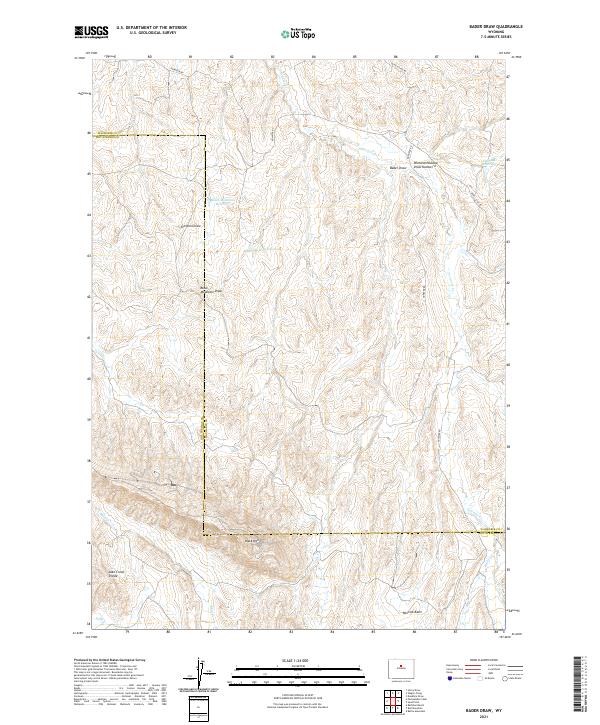
2012 Bader Draw
Washakie County, WY
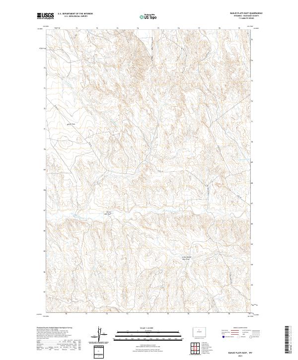
2012 Banjo Flats East
Washakie County, WY

2012 Banjo Flats West
Washakie County, WY
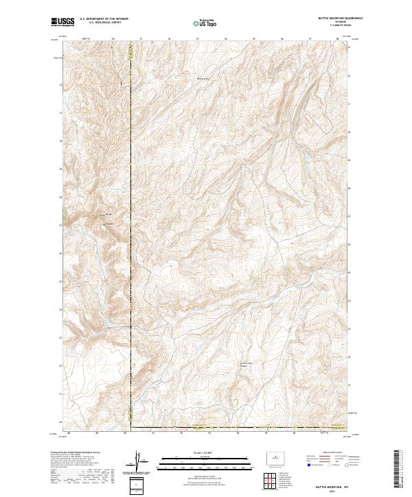
2012 Battle Mountain
Washakie County, WY

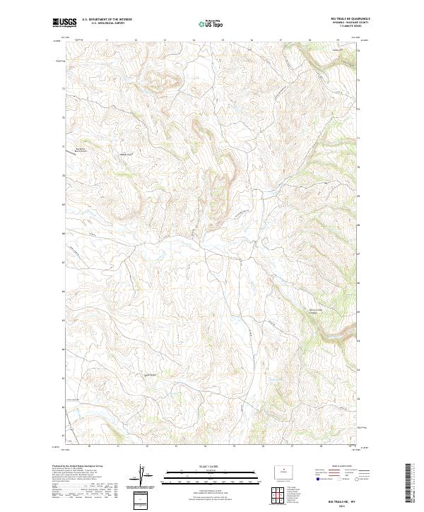
2012 Big Trails NE
Washakie County, WY
2012 Big Trails
Washakie County, WY
2012 Blue Mesa East
Washakie County, WY
2012 Broom Draw
Washakie County, WY
2012 Cabin Fork
Washakie County, WY
2012 Castle Gardens
Washakie County, WY
2012 Cherry Creek Hill
Washakie County, WY
2012 Chimney Gulch
Washakie County, WY
2012 Cornell Gulch
Washakie County, WY
2012 Deadline Draw
Washakie County, WY
2012 Dutch Nick Flat SW
Washakie County, WY
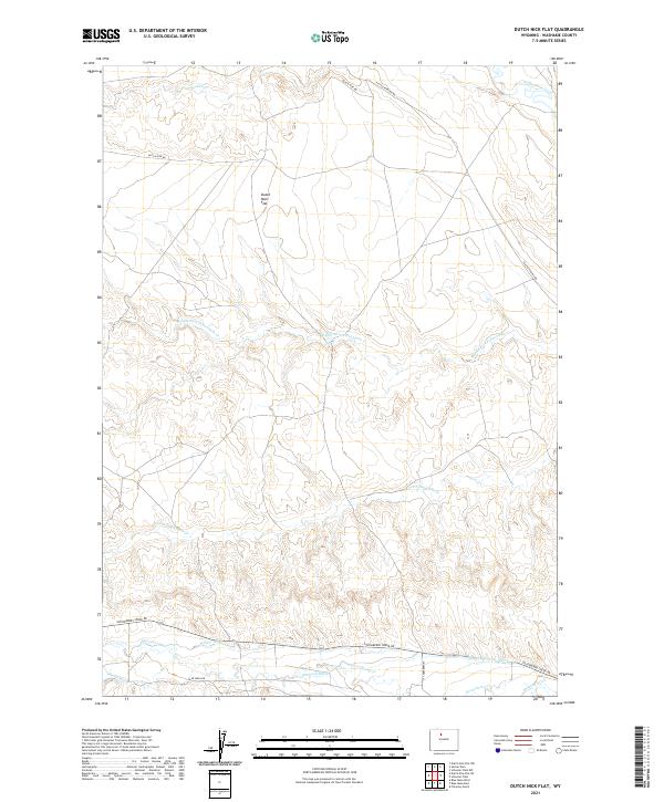
2012 Dutch Nick Flat
Washakie County, WY
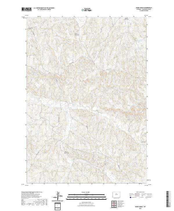
2012 Henry Draw
Washakie County, WY
2012 Horse Butte
Washakie County, WY
2012 Indian Creek
Washakie County, WY
2012 Joe Emge Creek
Washakie County, WY
2012 Lightning Ridge
Washakie County, WY
2012 Lost Creek
Washakie County, WY
2012 Mahogany Butte
Washakie County, WY
2012 Monument Hill
Washakie County, WY
2012 Neiber
Washakie County, WY
2012 Old Maid Gulch
Washakie County, WY
2012 Onion Gulch
Washakie County, WY
2012 Sand Point
Washakie County, WY
2012 Schuster Flats SE
Washakie County, WY
2012 Schuster Flats
Washakie County, WY
2012 Tallon Spring
Washakie County, WY
2012 Wagon Prong
Washakie County, WY
2012 Wild Horse Hill
Washakie County, WY
2012 Worland SE
Washakie County, WY
2012 Zimmerman Buttes
Washakie County, WY
2015 Bader Draw
Washakie County, WY
2015 Banjo Flats East
Washakie County, WY

2015 Banjo Flats West
Washakie County, WY
2015 Battle Mountain
Washakie County, WY
2015 Big Trails NE
Washakie County, WY
2015 Big Trails
Washakie County, WY
2015 Blue Mesa East
Washakie County, WY
2015 Broom Draw
Washakie County, WY
2015 Cabin Fork
Washakie County, WY
2015 Castle Gardens
Washakie County, WY
2015 Cherry Creek Hill
Washakie County, WY
2015 Chimney Gulch
Washakie County, WY
2015 Cornell Gulch
Washakie County, WY
2015 Deadline Draw
Washakie County, WY
2015 Dutch Nick Flat SW
Washakie County, WY
2015 Dutch Nick Flat
Washakie County, WY
2015 Henry Draw
Washakie County, WY
2015 Horse Butte
Washakie County, WY
2015 Indian Creek
Washakie County, WY
2015 Joe Emge Creek
Washakie County, WY
2015 Lightning Ridge
Washakie County, WY
2015 Lost Creek
Washakie County, WY
2015 Mahogany Butte
Washakie County, WY
2015 Monument Hill
Washakie County, WY
2015 Neiber
Washakie County, WY
2015 Old Maid Gulch
Washakie County, WY
2015 Onion Gulch
Washakie County, WY
2015 Sand Point
Washakie County, WY
2015 Schuster Flats SE
Washakie County, WY
2015 Schuster Flats
Washakie County, WY
2015 Tallon Spring
Washakie County, WY
2015 Wagon Prong
Washakie County, WY
2015 Wild Horse Hill
Washakie County, WY
2015 Worland SE
Washakie County, WY
2015 Zimmerman Buttes
Washakie County, WY
2017 Bader Draw
Washakie County, WY
2017 Banjo Flats East
Washakie County, WY

2017 Banjo Flats West
Washakie County, WY
2017 Battle Mountain
Washakie County, WY

2017 Big Trails NE
Washakie County, WY
2017 Big Trails
Washakie County, WY
2017 Blue Mesa East
Washakie County, WY
2017 Broom Draw
Washakie County, WY
2017 Cabin Fork
Washakie County, WY
2017 Castle Gardens
Washakie County, WY
2017 Cherry Creek Hill
Washakie County, WY
2017 Chimney Gulch
Washakie County, WY
2017 Cornell Gulch
Washakie County, WY
2017 Deadline Draw
Washakie County, WY
2017 Dutch Nick Flat SW
Washakie County, WY
2017 Dutch Nick Flat
Washakie County, WY
2017 Henry Draw
Washakie County, WY
2017 Horse Butte
Washakie County, WY
2017 Indian Creek
Washakie County, WY
2017 Joe Emge Creek
Washakie County, WY
2017 Lightning Ridge
Washakie County, WY
2017 Lost Creek
Washakie County, WY
2017 Mahogany Butte
Washakie County, WY
2017 Monument Hill
Washakie County, WY
2017 Old Maid Gulch
Washakie County, WY
2017 Onion Gulch
Washakie County, WY
2017 Sand Point
Washakie County, WY
2017 Schuster Flats SE
Washakie County, WY
2017 Schuster Flats
Washakie County, WY
2017 Tallon Spring
Washakie County, WY
2017 Wagon Prong
Washakie County, WY
2017 Wild Horse Hill
Washakie County, WY
2017 Worland SE
Washakie County, WY
2017 Zimmerman Buttes
Washakie County, WY
2018 Neiber
Washakie County, WY
2021 Bader Draw
Washakie County, WY
2021 Banjo Flats East
Washakie County, WY

2021 Banjo Flats West
Washakie County, WY
2021 Battle Mountain
Washakie County, WY
2021 Big Trails NE
Washakie County, WY
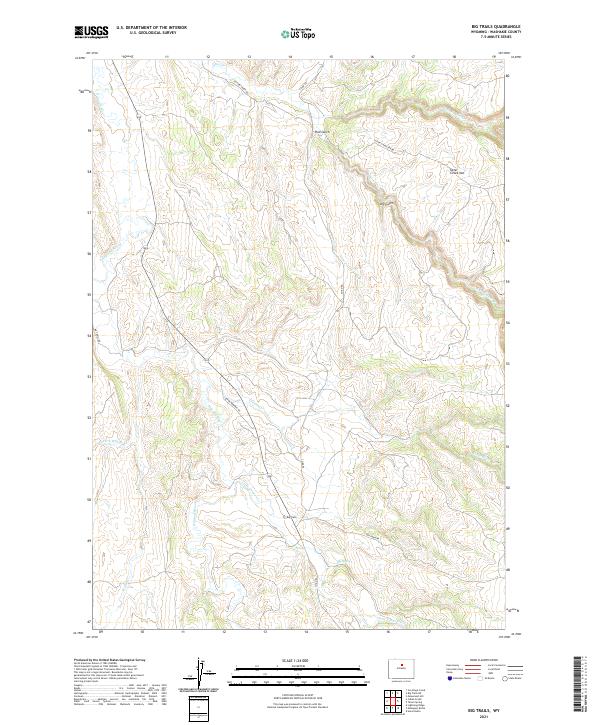
2021 Big Trails
Washakie County, WY
2021 Blue Mesa East
Washakie County, WY
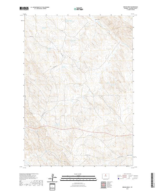
2021 Broom Draw
Washakie County, WY
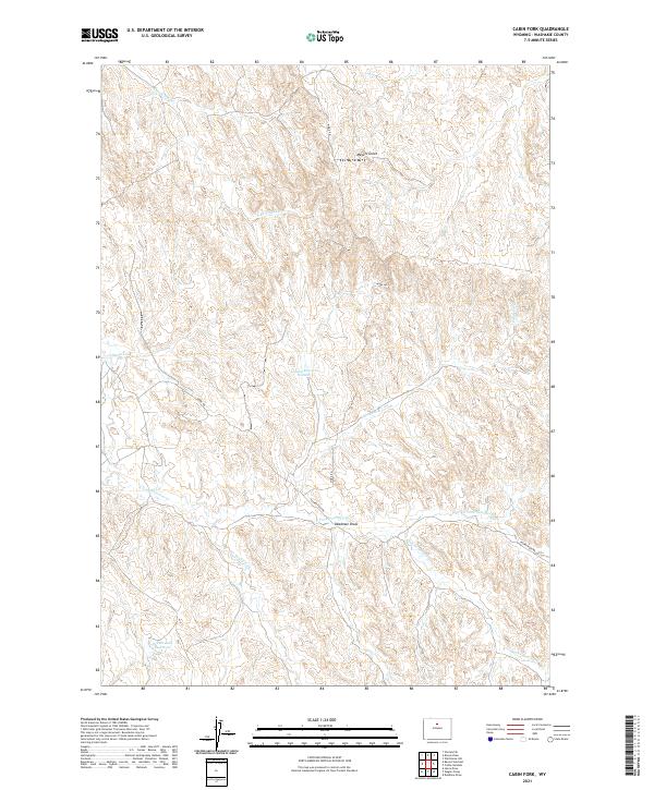
2021 Cabin Fork
Washakie County, WY
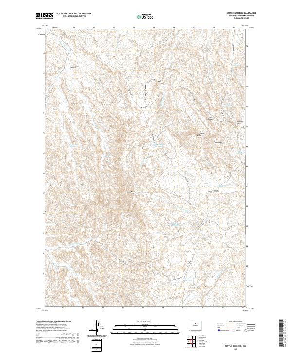
2021 Castle Gardens
Washakie County, WY
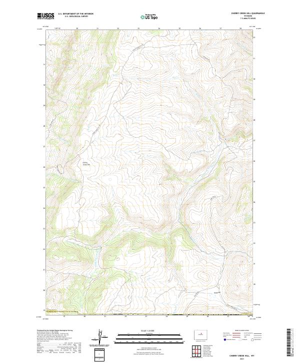
2021 Cherry Creek Hill
Washakie County, WY
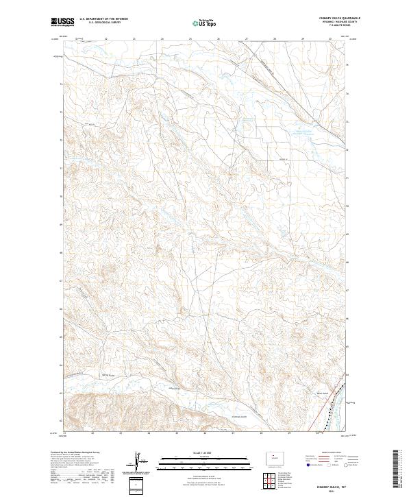
2021 Chimney Gulch
Washakie County, WY
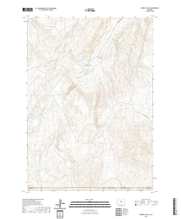
2021 Cornell Gulch
Washakie County, WY
2021 Deadline Draw
Washakie County, WY
2021 Dutch Nick Flat SW
Washakie County, WY
2021 Dutch Nick Flat
Washakie County, WY
2021 Henry Draw
Washakie County, WY
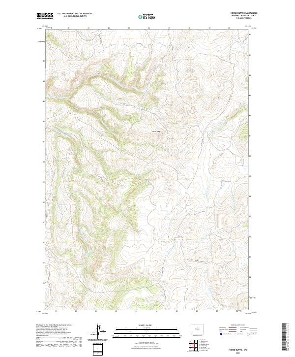
2021 Horse Butte
Washakie County, WY
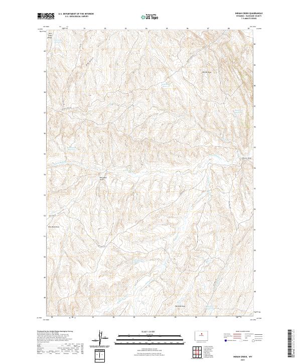
2021 Indian Creek
Washakie County, WY
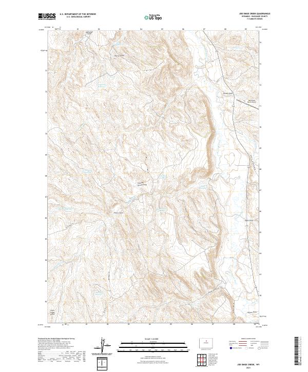
2021 Joe Emge Creek
Washakie County, WY
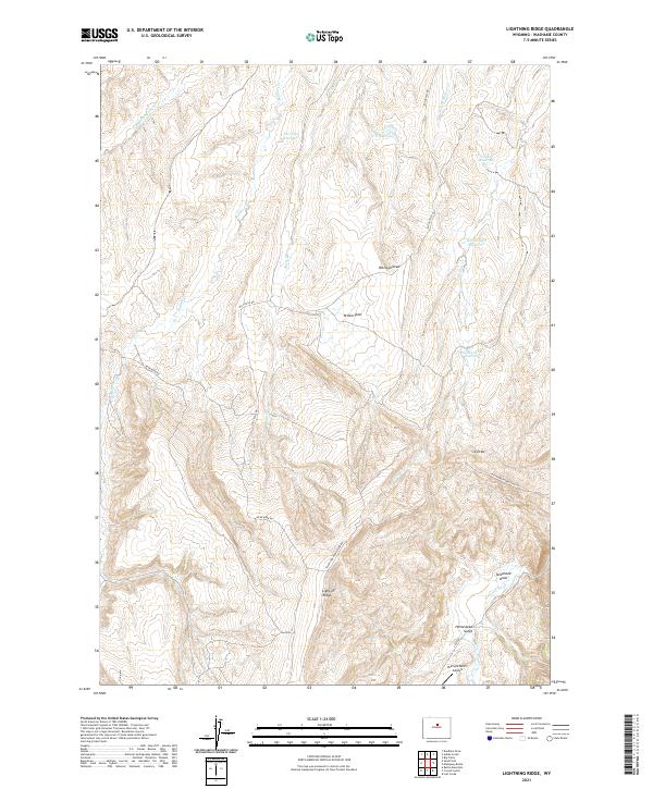
2021 Lightning Ridge
Washakie County, WY
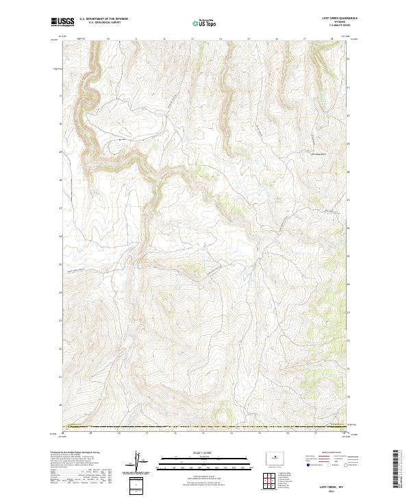
2021 Lost Creek
Washakie County, WY
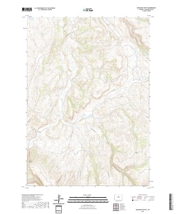
2021 Mahogany Butte
Washakie County, WY
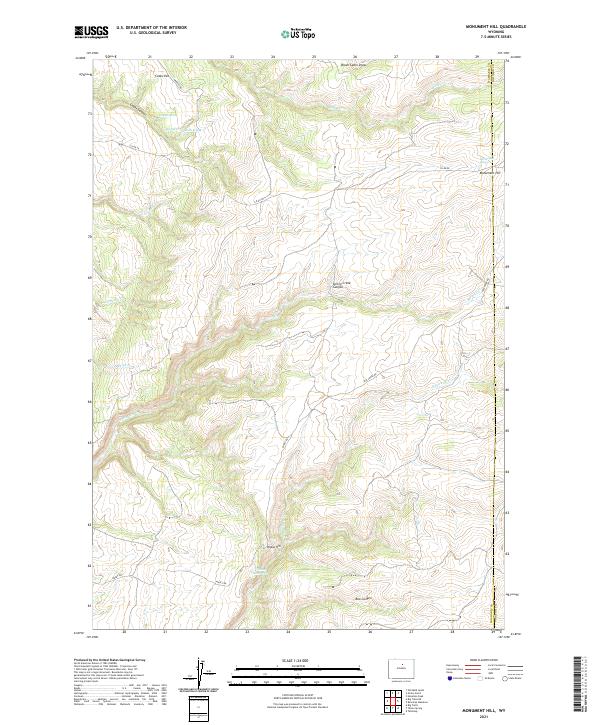
2021 Monument Hill
Washakie County, WY
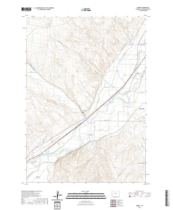
2021 Neiber
Washakie County, WY
2021 Old Maid Gulch
Washakie County, WY
2021 Onion Gulch
Washakie County, WY
2021 Sand Point
Washakie County, WY
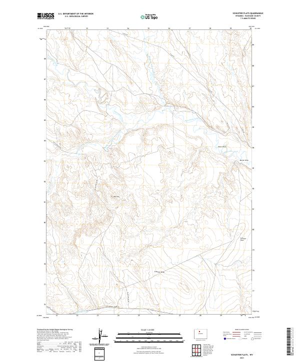
2021 Schuster Flats SE
Washakie County, WY
2021 Schuster Flats
Washakie County, WY
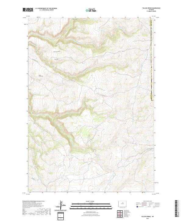
2021 Tallon Spring
Washakie County, WY
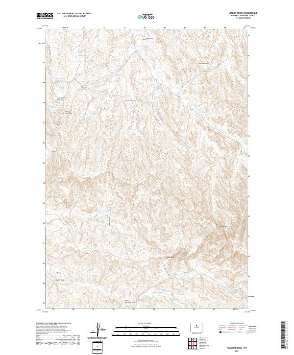
2021 Wagon Prong
Washakie County, WY
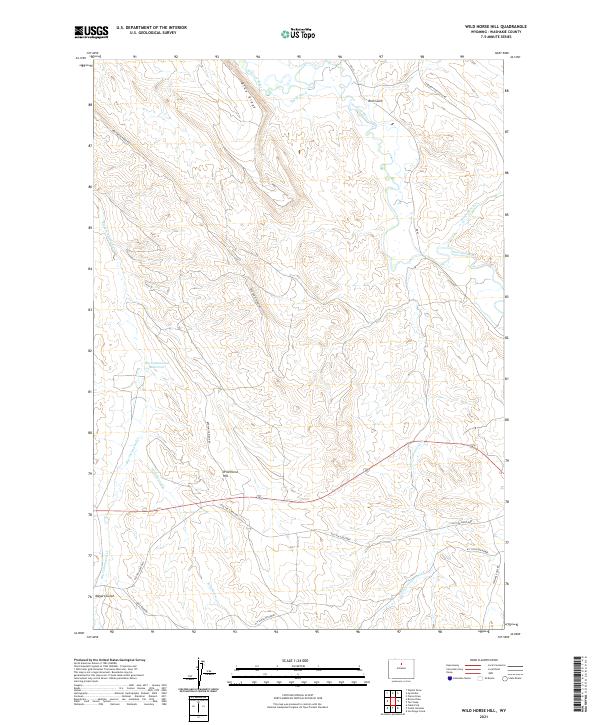
2021 Wild Horse Hill
Washakie County, WY
2021 Worland SE
Washakie County, WY
2021 Zimmerman Buttes
Washakie County, WY
2023 Dutch Nick Flat SW
Washakie County, WY
2023 Old Maid Gulch
Washakie County, WY
2023 Onion Gulch
Washakie County, WY