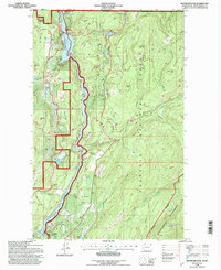
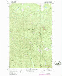
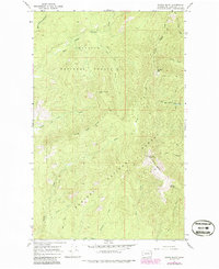
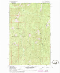
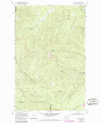
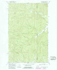
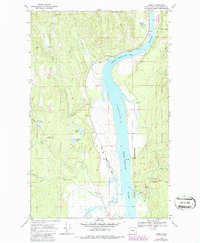
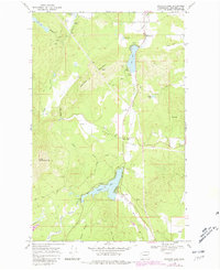
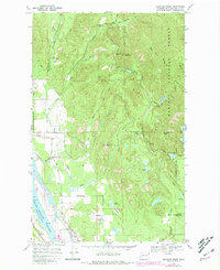
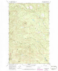
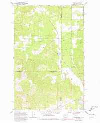
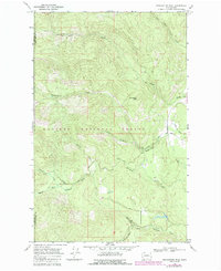
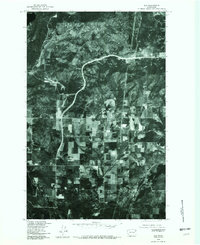
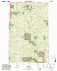
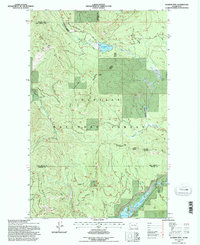
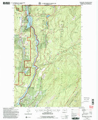
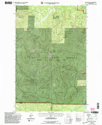
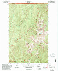
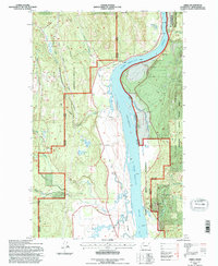
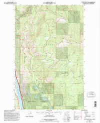
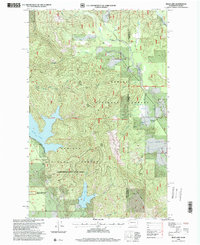
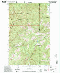
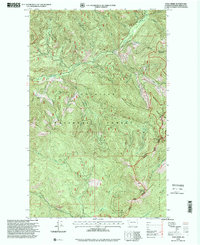
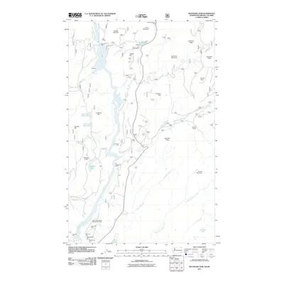
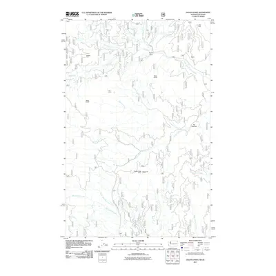
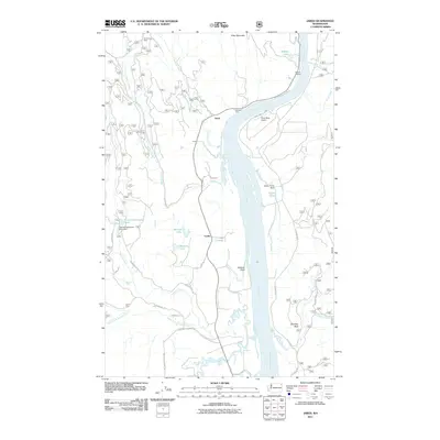
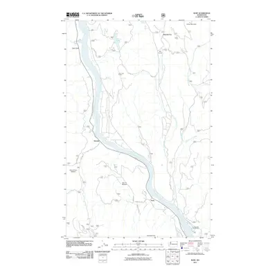
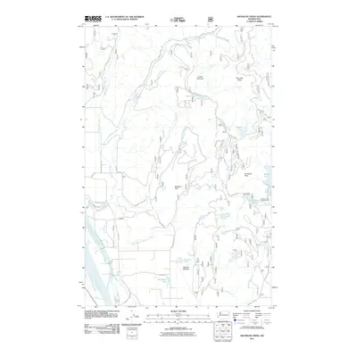
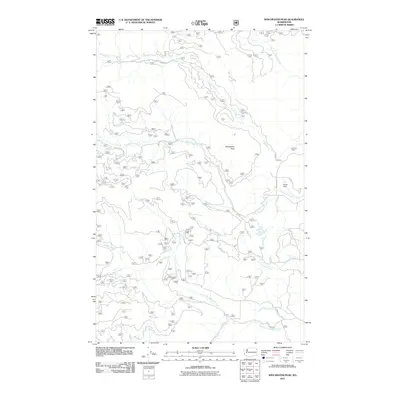
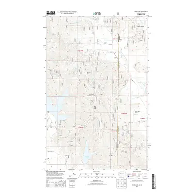
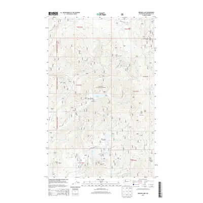
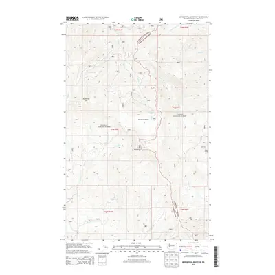
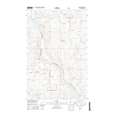
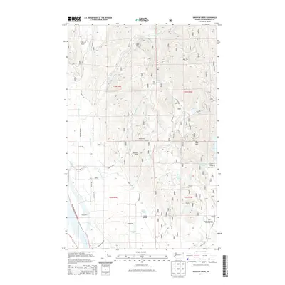
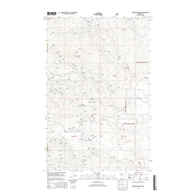
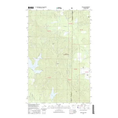
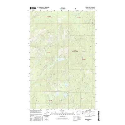
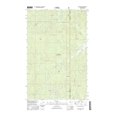
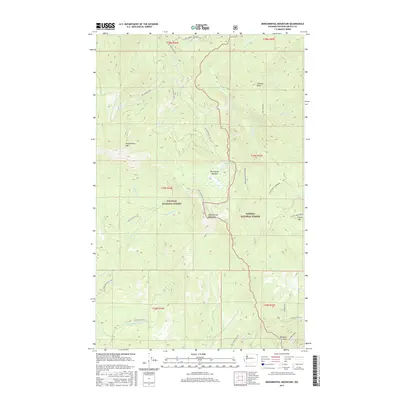
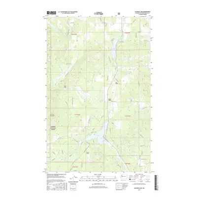
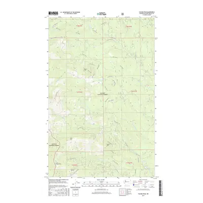
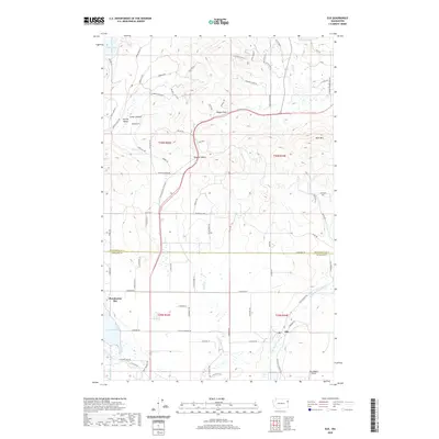
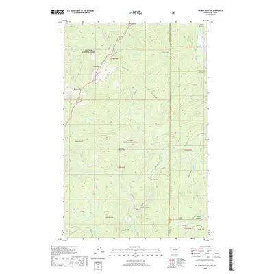
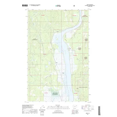
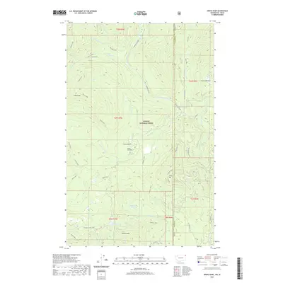
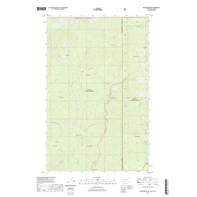
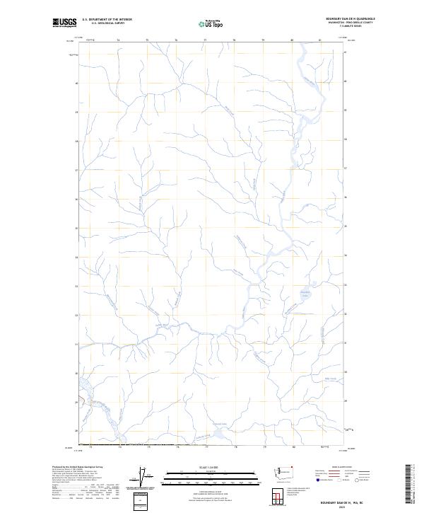
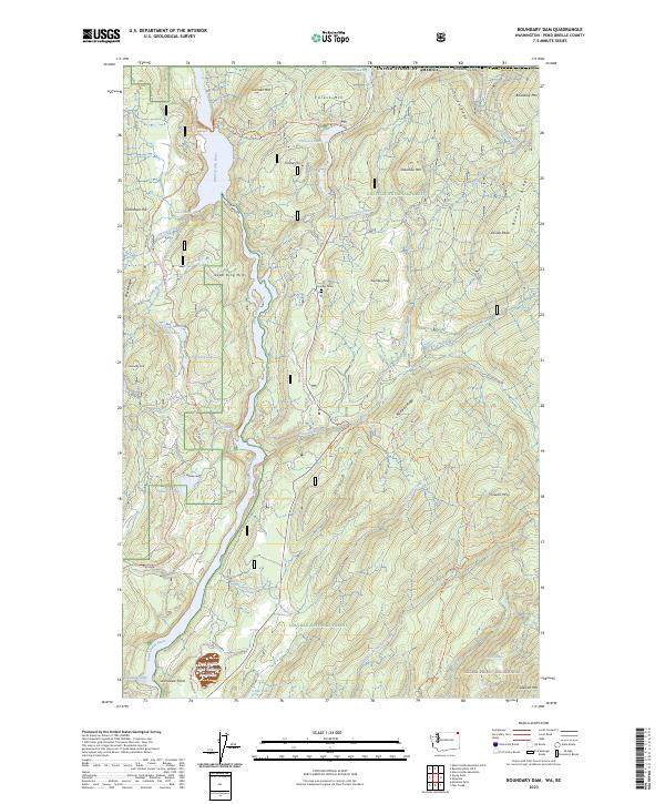
1992 Map of Boundary Dam
USGS Topo · Published 1997About this map
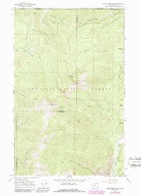
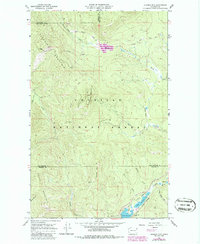
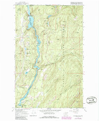
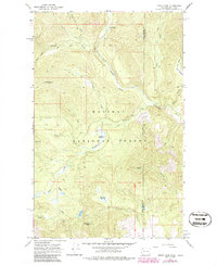
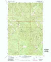
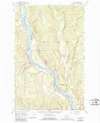
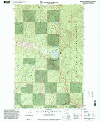
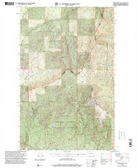
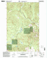
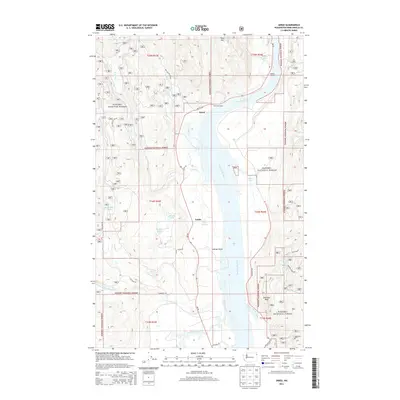
The Pend Oreille River anchors this mountainous corridor of the Pacific Northwest, just south of the border between Canada and the United States. The landscape is dominated by the industrial infrastructure of the Boundary Dam and its associated substation, which harness the river's power as it flows through the narrow canyon. To the west, the subterranean reaches of Gardner Cave within Crawford State Park provide a geological focal point, while the surrounding lands are managed by the Colville National Forest and Kaniksu National Forest.
Find a feature on this map
53 named features on this map. Tap any name to fly to it.
Don’t see what you’re looking for? This feature index may not catch every label — zoom into the map to look around manually.
Map Details
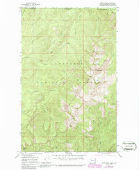
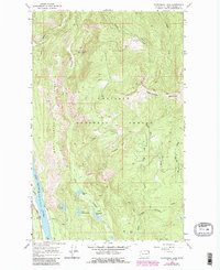
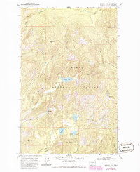
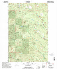
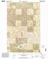
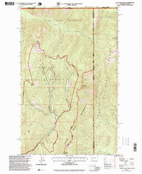
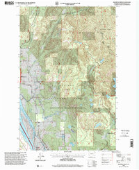
Editions of this 1992 Boundary Dam Map
2 editions found
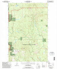
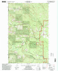
Historical Maps of United States Through Time
194 maps found
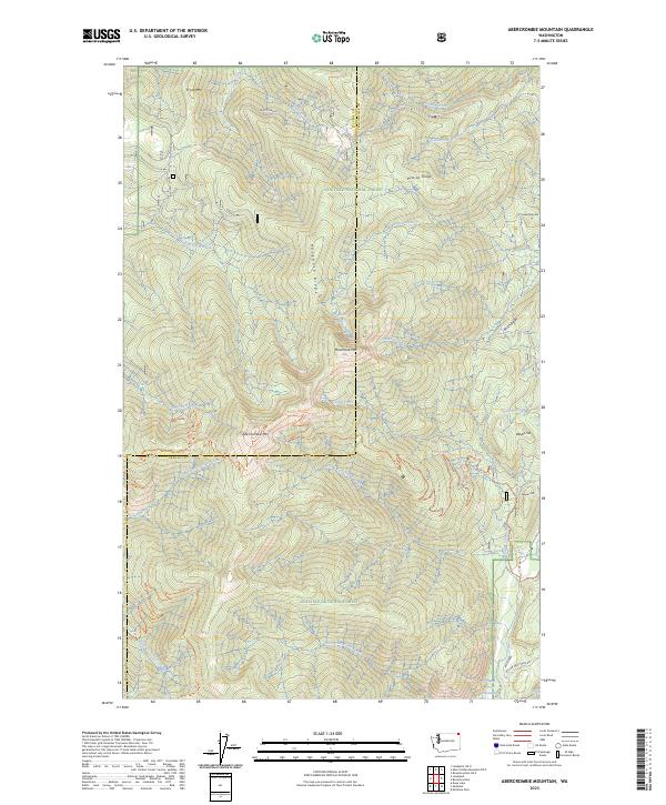
1967 Abercrombie Mtn
Pend Oreille County, WA
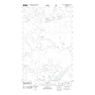
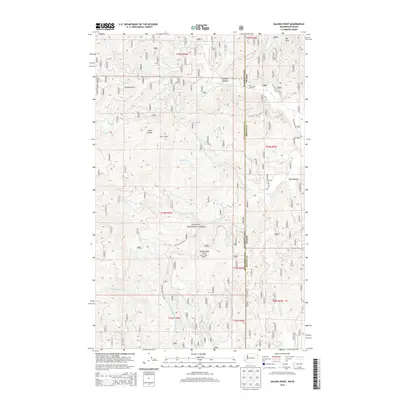
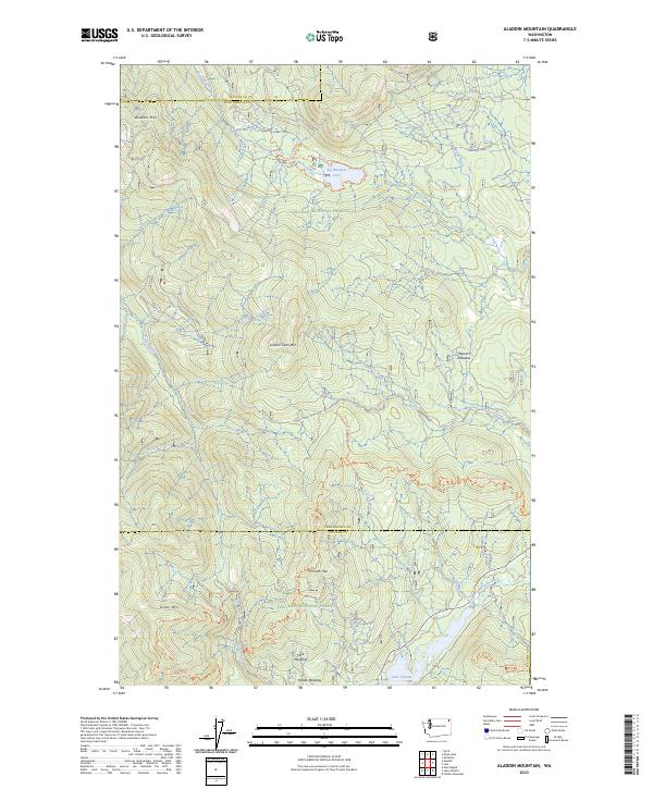
1967 Aladdin Mtn
Pend Oreille County, WA
1967 Boundary Dam
Pend Oreille County, WA
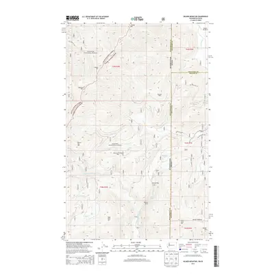
1967 Gleason Mtn
Pend Oreille County, WA
1967 Gypsy Peak
Pend Oreille County, WA
1967 Helmer Mtn
Pend Oreille County, WA
1967 Monumental Mtn.
Pend Oreille County, WA
1967 North Baldy
Pend Oreille County, WA
1967 Orwig Hump
Pend Oreille County, WA
1967 Pass Creek
Pend Oreille County, WA
1967 Ruby
Pend Oreille County, WA
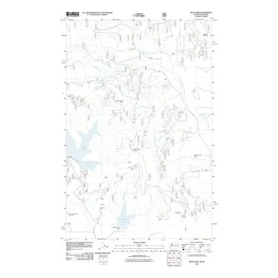
1967 Salmo Mtn.
Pend Oreille County, WA
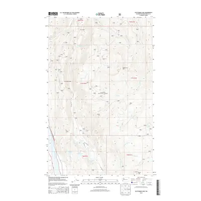
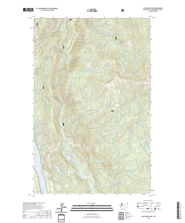
1967 Scotchman Lake
Pend Oreille County, WA
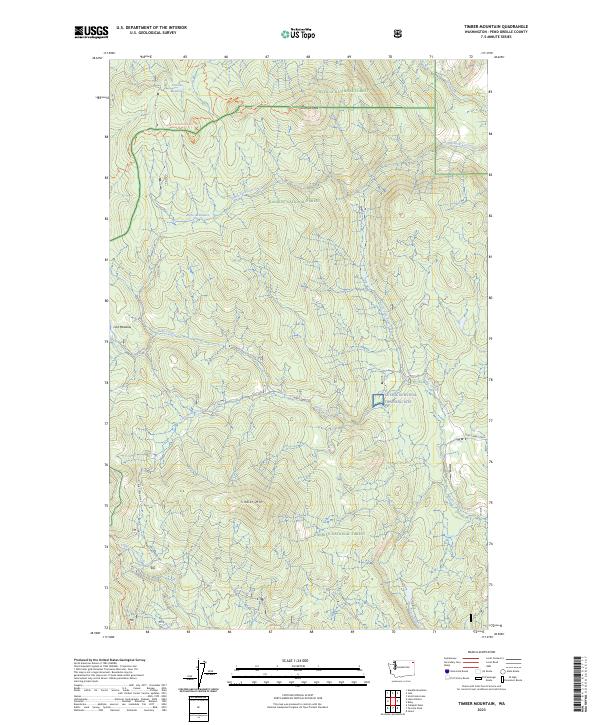
1967 Timber Mtn.
Pend Oreille County, WA
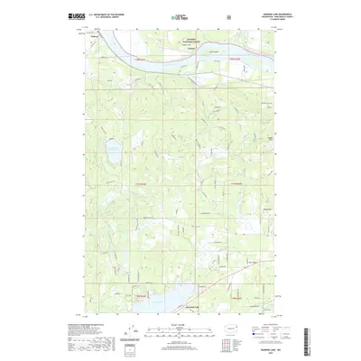
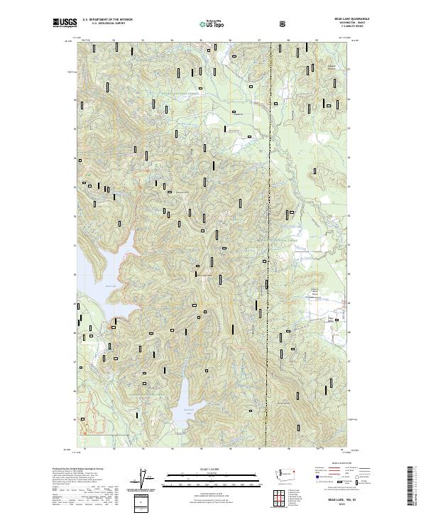
1968 Bead Lake
Pend Oreille County, WA
1968 Boyer Mtn
Pend Oreille County, WA
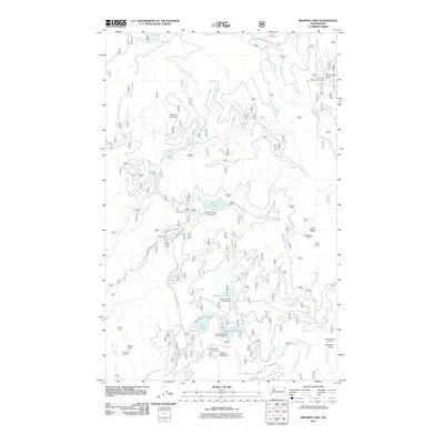
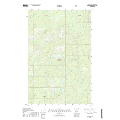
1968 Browns Lake
Pend Oreille County, WA
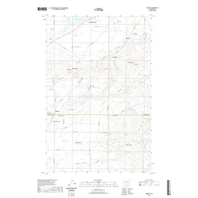
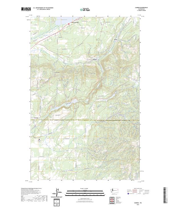
1968 Camden
Pend Oreille County, WA
1968 Diamond Lake
Pend Oreille County, WA

1968 Elk
Pend Oreille County, WA
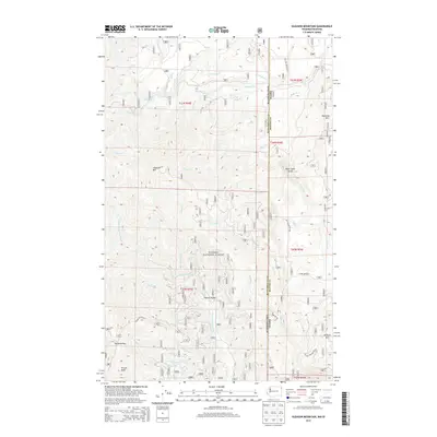
1968 Galena Point
Pend Oreille County, WA
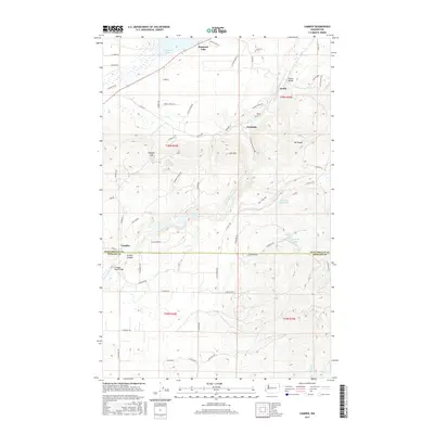
1968 Jared
Pend Oreille County, WA
1968 Sacheen Lake
Pend Oreille County, WA
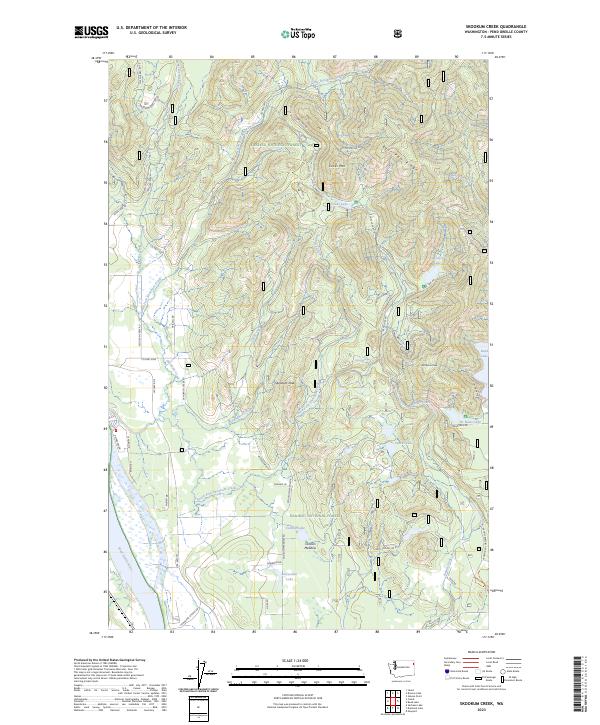
1968 Skookum Creek
Pend Oreille County, WA
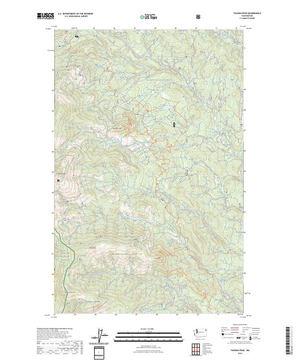
1968 Tacoma Peak
Pend Oreille County, WA
1968 Tweedie
Pend Oreille County, WA
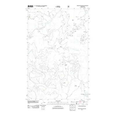
1968 Winchester Peak
Pend Oreille County, WA
1978 Elk
Pend Oreille County, WA
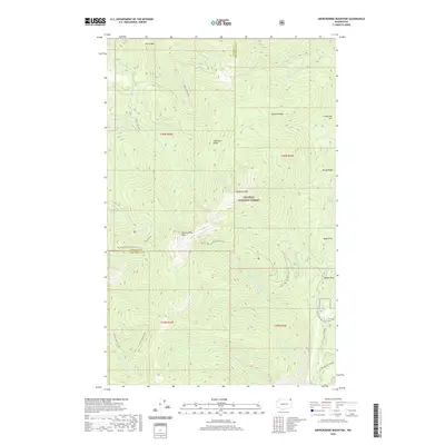
1992 Abercrombie Mtn
Pend Oreille County, WA
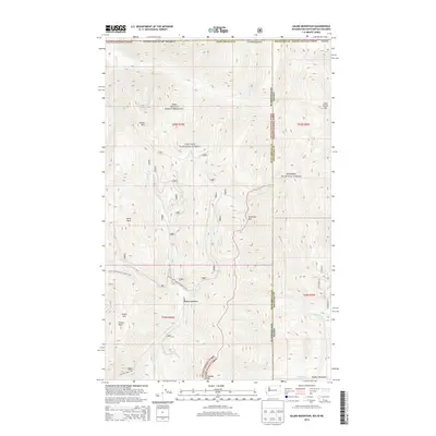
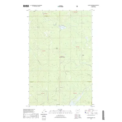
1992 Aladdin Mtn
Pend Oreille County, WA
1992 Boundary Dam
Pend Oreille County, WA
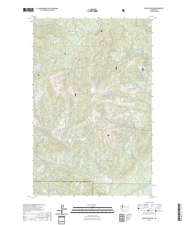
1992 Boyer Mtn
Pend Oreille County, WA
1992 Gypsy Peak
Pend Oreille County, WA
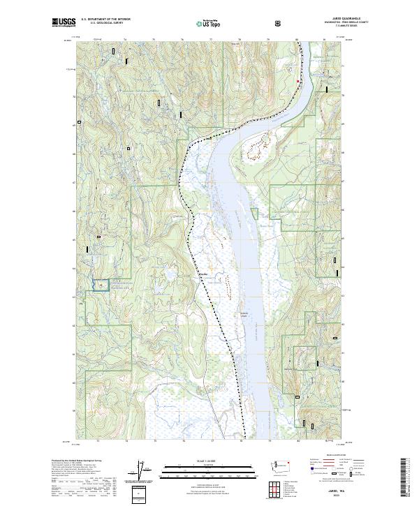
1992 Jared
Pend Oreille County, WA
1992 Ruby
Pend Oreille County, WA
1992 Sacheen Lake
Pend Oreille County, WA
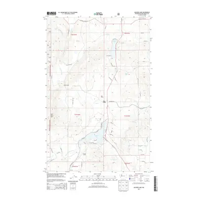
1992 Scotchman Lake
Pend Oreille County, WA
1992 Tacoma Peak
Pend Oreille County, WA
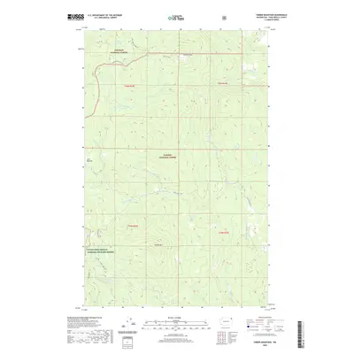
1992 Timber Mtn.
Pend Oreille County, WA
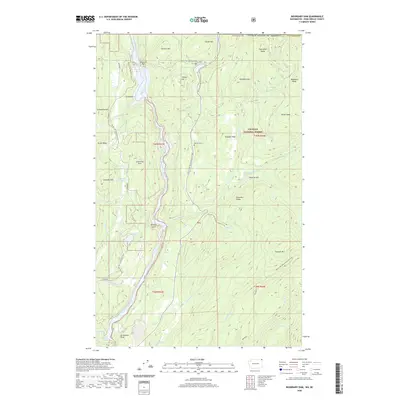
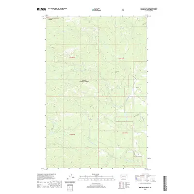
1992 Winchester Peak
Pend Oreille County, WA
1996 Bead Lake
Pend Oreille County, WA
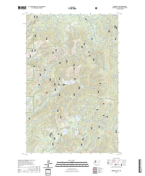
1996 Browns Lake
Pend Oreille County, WA
1996 Galena Point
Pend Oreille County, WA
1996 Gleason Mountain
Pend Oreille County, WA
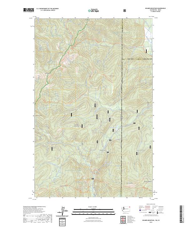
1996 Helmer Mountain
Pend Oreille County, WA
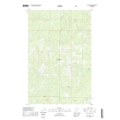
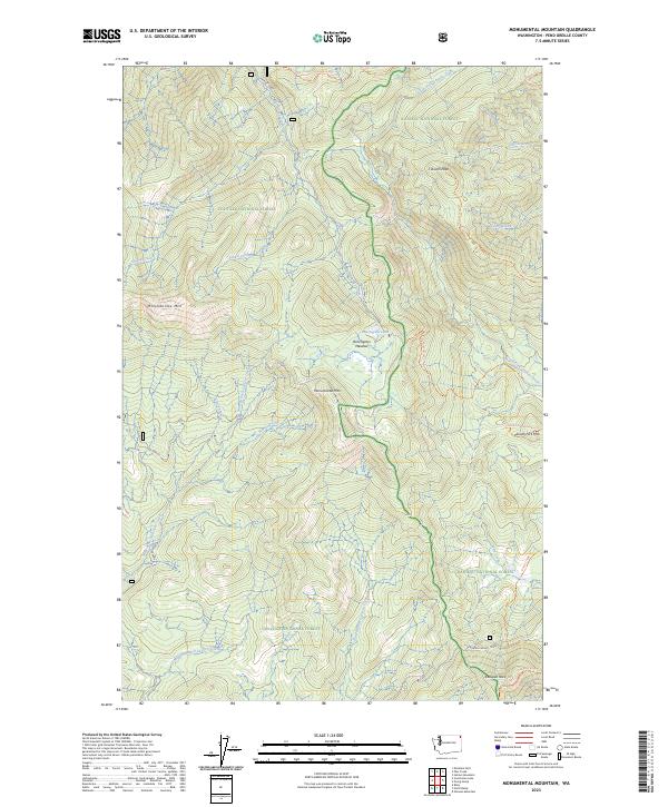
1996 Monumental Mountain
Pend Oreille County, WA
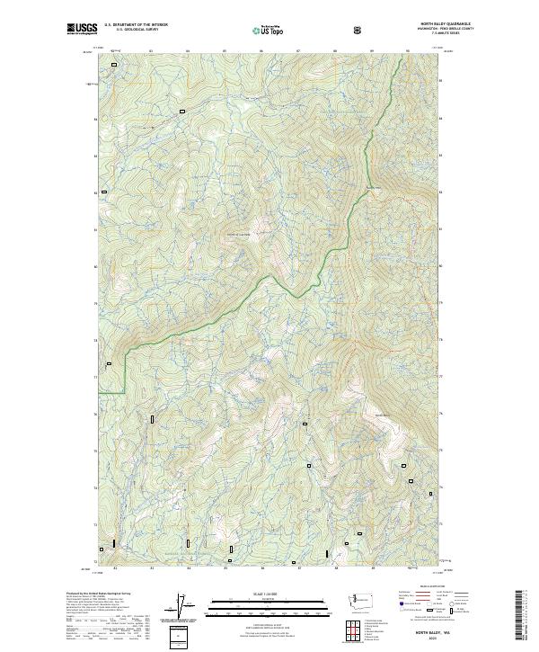
1996 North Baldy
Pend Oreille County, WA
1996 Orwig Hump
Pend Oreille County, WA
1996 Pass Creek
Pend Oreille County, WA
1996 Salmo Mountain
Pend Oreille County, WA
1996 Skookum Creek
Pend Oreille County, WA
2011 Abercrombie Mountain
Pend Oreille County, WA
2011 Aladdin Mountain
Pend Oreille County, WA
2011 Bead Lake
Pend Oreille County, WA
2011 Boundary Dam
Pend Oreille County, WA
2011 Boyer Mountain
Pend Oreille County, WA
2011 Browns Lake
Pend Oreille County, WA
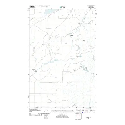
2011 Camden
Pend Oreille County, WA
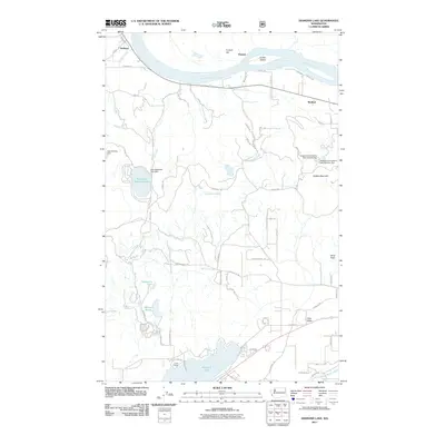
2011 Diamond Lake
Pend Oreille County, WA
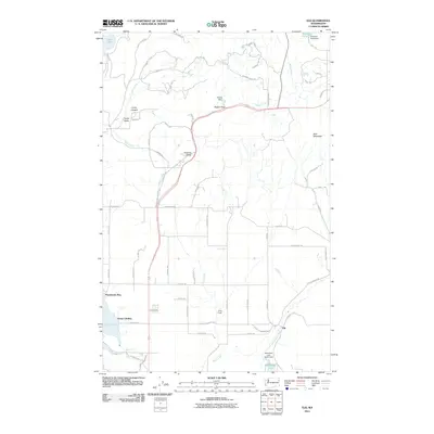
2011 Elk
Pend Oreille County, WA
2011 Galena Point
Pend Oreille County, WA
2011 Gleason Mountain
Pend Oreille County, WA
2011 Gypsy Peak
Pend Oreille County, WA
2011 Helmer Mountain
Pend Oreille County, WA
2011 Jared
Pend Oreille County, WA
2011 Monumental Mountain
Pend Oreille County, WA
2011 North Baldy
Pend Oreille County, WA

2011 Orwig Hump
Pend Oreille County, WA
2011 Pass Creek
Pend Oreille County, WA
2011 Ruby
Pend Oreille County, WA
2011 Sacheen Lake
Pend Oreille County, WA
2011 Salmo Mountain
Pend Oreille County, WA
2011 Scotchman Lake
Pend Oreille County, WA
2011 Skookum Creek
Pend Oreille County, WA
2011 Tacoma Peak
Pend Oreille County, WA
2011 Timber Mountain
Pend Oreille County, WA
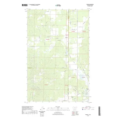
2011 Tweedie
Pend Oreille County, WA
2011 Winchester Peak
Pend Oreille County, WA
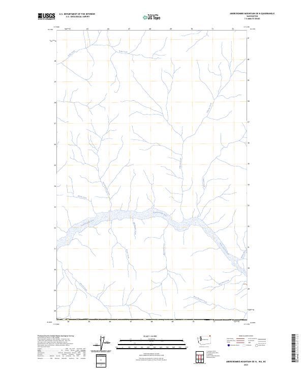
2014 Abercrombie Mountain OE N
Pend Oreille County, WA
2014 Abercrombie Mountain
Pend Oreille County, WA
2014 Aladdin Mountain
Pend Oreille County, WA
2014 Bead Lake
Pend Oreille County, WA
2014 Boundary Dam OE N
Pend Oreille County, WA
2014 Boundary Dam
Pend Oreille County, WA
2014 Boyer Mountain
Pend Oreille County, WA
2014 Browns Lake
Pend Oreille County, WA
2014 Camden
Pend Oreille County, WA
2014 Diamond Lake
Pend Oreille County, WA
2014 Elk
Pend Oreille County, WA
2014 Galena Point
Pend Oreille County, WA
2014 Gleason Mountain
Pend Oreille County, WA

2014 Gypsy Peak
Pend Oreille County, WA
2014 Helmer Mountain
Pend Oreille County, WA
2014 Jared
Pend Oreille County, WA
2014 Monumental Mountain
Pend Oreille County, WA
2014 North Baldy
Pend Oreille County, WA
2014 Orwig Hump
Pend Oreille County, WA
2014 Pass Creek
Pend Oreille County, WA
2014 Ruby
Pend Oreille County, WA
2014 Sacheen Lake
Pend Oreille County, WA
2014 Salmo Mountain
Pend Oreille County, WA
2014 Scotchman Lake
Pend Oreille County, WA
2014 Skookum Creek
Pend Oreille County, WA
2014 Tacoma Peak
Pend Oreille County, WA
2014 Timber Mountain
Pend Oreille County, WA
2014 Tweedie
Pend Oreille County, WA
2014 Winchester Peak
Pend Oreille County, WA
2017 Abercrombie Mountain OE N
Pend Oreille County, WA
2017 Abercrombie Mountain
Pend Oreille County, WA
2017 Aladdin Mountain
Pend Oreille County, WA
2017 Bead Lake
Pend Oreille County, WA
2017 Boundary Dam OE N
Pend Oreille County, WA
2017 Boundary Dam
Pend Oreille County, WA
2017 Boyer Mountain
Pend Oreille County, WA
2017 Browns Lake
Pend Oreille County, WA
2017 Camden
Pend Oreille County, WA
2017 Diamond Lake
Pend Oreille County, WA
2017 Elk
Pend Oreille County, WA
2017 Galena Point
Pend Oreille County, WA

2017 Gleason Mountain
Pend Oreille County, WA
2017 Gypsy Peak
Pend Oreille County, WA
2017 Helmer Mountain
Pend Oreille County, WA
2017 Jared
Pend Oreille County, WA
2017 Monumental Mountain
Pend Oreille County, WA

2017 North Baldy
Pend Oreille County, WA
2017 Orwig Hump
Pend Oreille County, WA
2017 Pass Creek
Pend Oreille County, WA
2017 Ruby
Pend Oreille County, WA
2017 Sacheen Lake
Pend Oreille County, WA
2017 Salmo Mountain
Pend Oreille County, WA
2017 Scotchman Lake
Pend Oreille County, WA
2017 Skookum Creek
Pend Oreille County, WA
2017 Tacoma Peak
Pend Oreille County, WA
2017 Timber Mountain
Pend Oreille County, WA
2017 Tweedie
Pend Oreille County, WA

2017 Winchester Peak
Pend Oreille County, WA
2020 Abercrombie Mountain OE N
Pend Oreille County, WA
2020 Abercrombie Mountain
Pend Oreille County, WA
2020 Aladdin Mountain
Pend Oreille County, WA

2020 Bead Lake
Pend Oreille County, WA
2020 Boundary Dam OE N
Pend Oreille County, WA
2020 Boundary Dam
Pend Oreille County, WA
2020 Boyer Mountain
Pend Oreille County, WA
2020 Browns Lake
Pend Oreille County, WA
2020 Camden
Pend Oreille County, WA
2020 Diamond Lake
Pend Oreille County, WA
2020 Elk
Pend Oreille County, WA
2020 Galena Point
Pend Oreille County, WA
2020 Gleason Mountain
Pend Oreille County, WA
2020 Gypsy Peak
Pend Oreille County, WA
2020 Helmer Mountain
Pend Oreille County, WA
2020 Jared
Pend Oreille County, WA
2020 Monumental Mountain
Pend Oreille County, WA
2020 North Baldy
Pend Oreille County, WA
2020 Orwig Hump
Pend Oreille County, WA
2020 Pass Creek
Pend Oreille County, WA
2020 Ruby
Pend Oreille County, WA
2020 Sacheen Lake
Pend Oreille County, WA
2020 Salmo Mountain
Pend Oreille County, WA
2020 Scotchman Lake
Pend Oreille County, WA
2020 Skookum Creek
Pend Oreille County, WA
2020 Tacoma Peak
Pend Oreille County, WA
2020 Timber Mountain
Pend Oreille County, WA
2020 Tweedie
Pend Oreille County, WA
2020 Winchester Peak
Pend Oreille County, WA
2023 Abercrombie Mountain OE N
Pend Oreille County, WA
2023 Abercrombie Mountain
Pend Oreille County, WA
2023 Aladdin Mountain
Pend Oreille County, WA
2023 Bead Lake
Pend Oreille County, WA
2023 Boundary Dam OE N
Pend Oreille County, WA
2023 Boundary Dam
Pend Oreille County, WA
2023 Boyer Mountain
Pend Oreille County, WA
2023 Browns Lake
Pend Oreille County, WA
2023 Camden
Pend Oreille County, WA
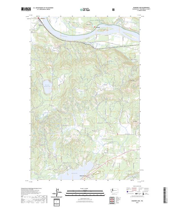
2023 Diamond Lake
Pend Oreille County, WA
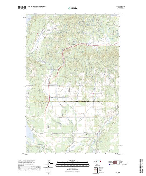
2023 Elk
Pend Oreille County, WA
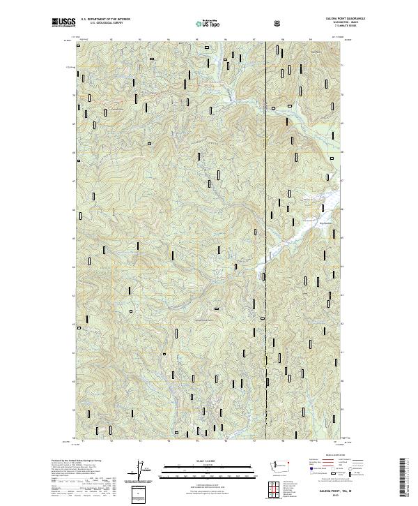
2023 Galena Point
Pend Oreille County, WA

2023 Gleason Mountain
Pend Oreille County, WA
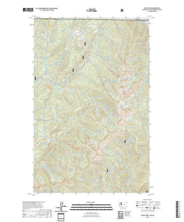
2023 Gypsy Peak
Pend Oreille County, WA
2023 Helmer Mountain
Pend Oreille County, WA
2023 Jared
Pend Oreille County, WA
2023 Monumental Mountain
Pend Oreille County, WA
2023 North Baldy
Pend Oreille County, WA
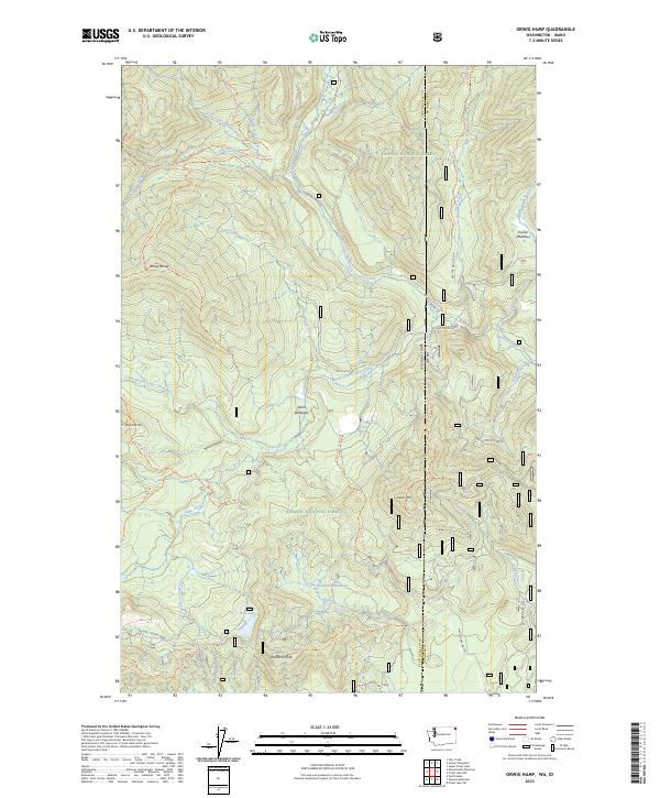
2023 Orwig Hump
Pend Oreille County, WA
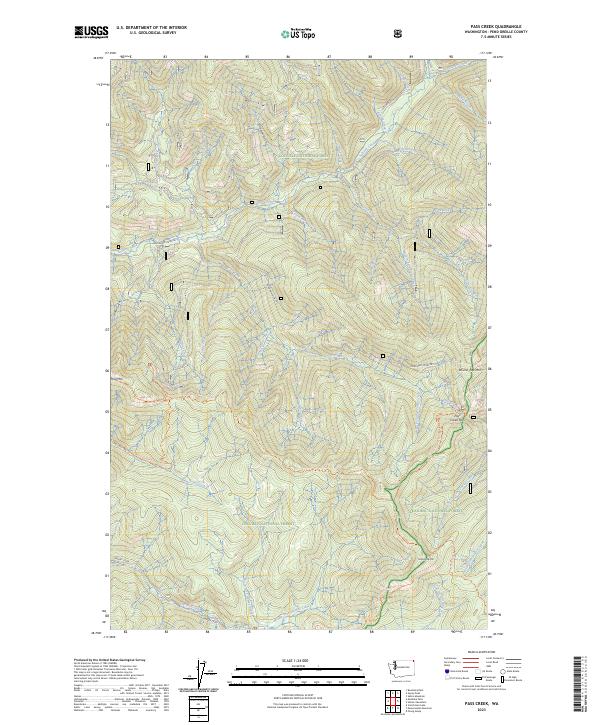
2023 Pass Creek
Pend Oreille County, WA

2023 Ruby
Pend Oreille County, WA
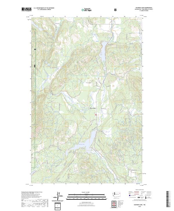
2023 Sacheen Lake
Pend Oreille County, WA
2023 Salmo Mountain
Pend Oreille County, WA
2023 Scotchman Lake
Pend Oreille County, WA
2023 Skookum Creek
Pend Oreille County, WA
2023 Tacoma Peak
Pend Oreille County, WA
2023 Timber Mountain
Pend Oreille County, WA
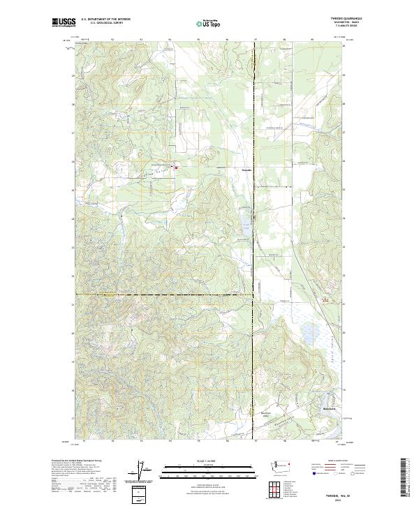
2023 Tweedie
Pend Oreille County, WA
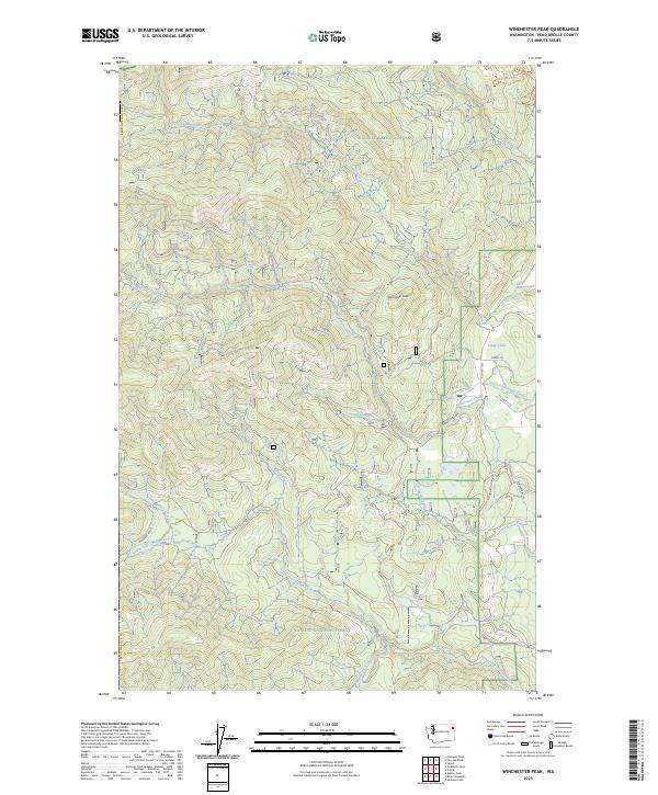
2023 Winchester Peak
Pend Oreille County, WA