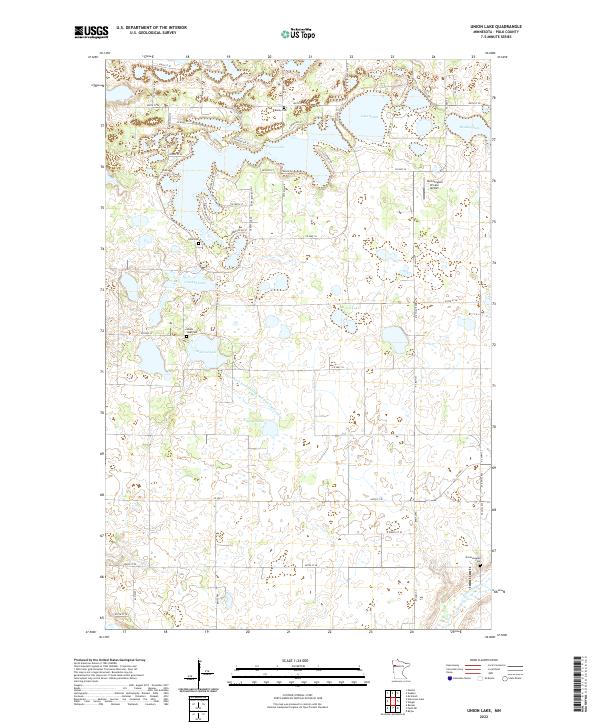
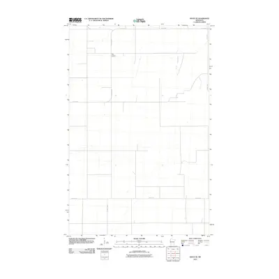
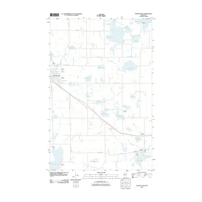
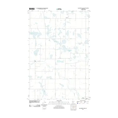
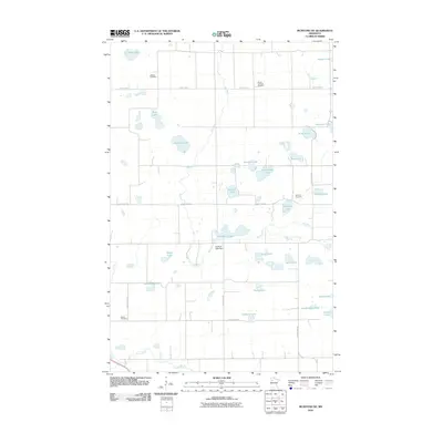
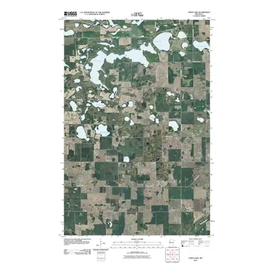
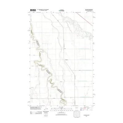
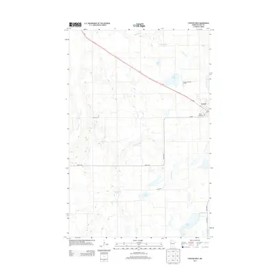
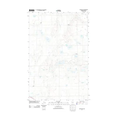
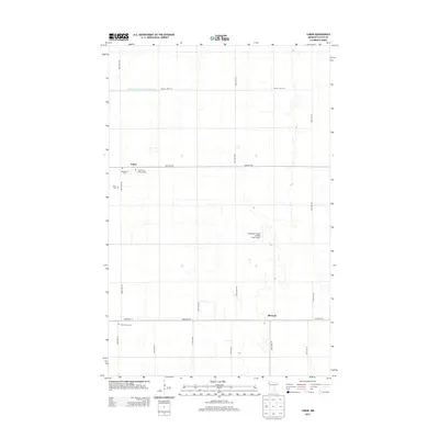
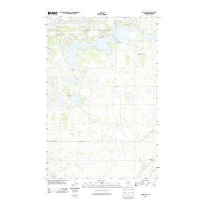
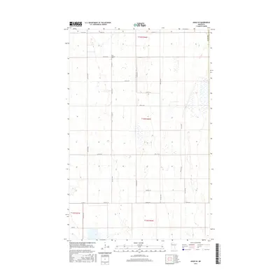
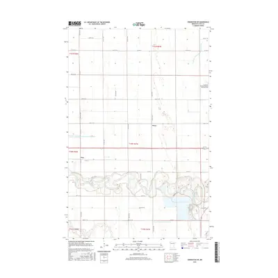
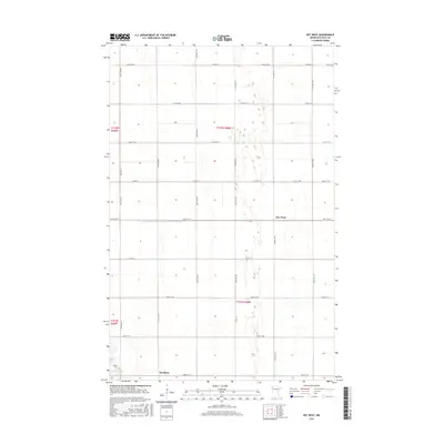
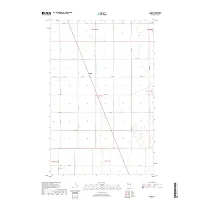
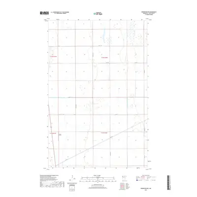
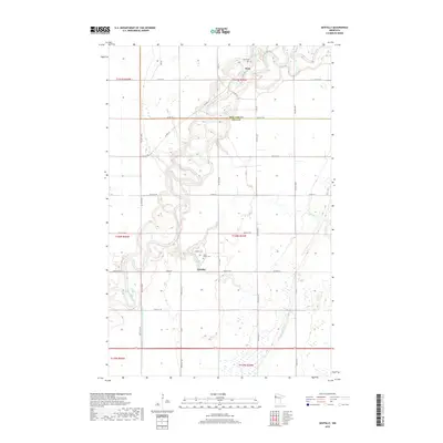
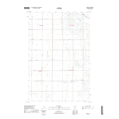
2022 Map of Union Lake
USGS Topo · Published 2022About this map
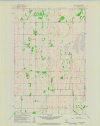
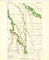
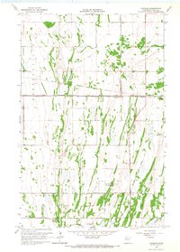
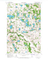
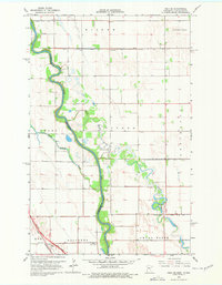
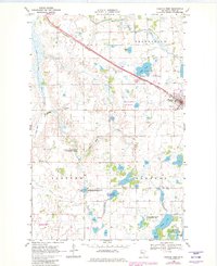
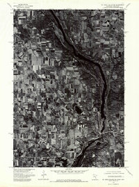
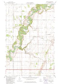
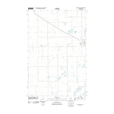
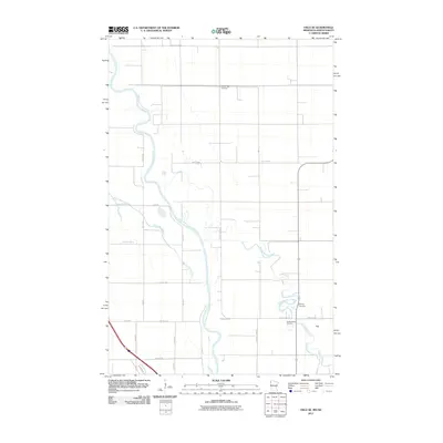
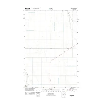
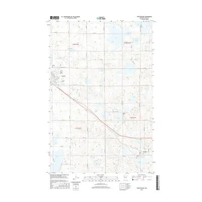
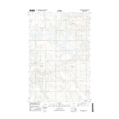
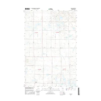
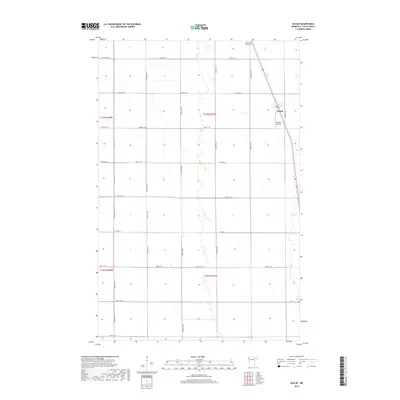
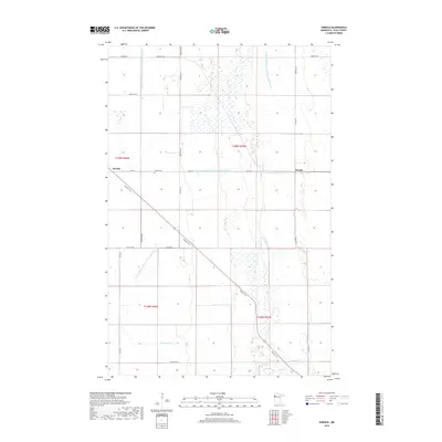
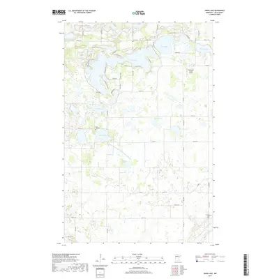
Union Lake and Lake Sarah dominate this Polk County landscape, which is defined by an intricate network of glacial lakes and prairie wetlands. The map reveals a deeply rooted rural community, marked by family-named landmarks and historical burial grounds such as Bailey Cem and Storelvedalen Cem. The transition from natural waterways to managed agriculture is evident in the presence of County Ditch Number One Hundred Thirtythree, which channels water toward the Sand Hill River in the south. The presence of the Hemmingsen Private Airport suggests the continued importance of general aviation in these open northern plains, while the dense concentration of smaller bodies of water like Crooked Lake and Maltrud Lake highlights the region's characteristic post-glacial topography.
Find a feature on this map
32 named features on this map. Tap any name to fly to it.
Don’t see what you’re looking for? This feature index may not catch every label — zoom into the map to look around manually.
Map Details
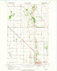
Editions of this 2022 Union Lake Map
This is the sole edition of this map. No revisions or reprints were ever made.
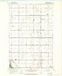
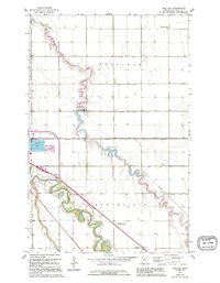
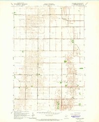
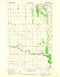
Historical Maps of Polk County Through Time
161 maps found

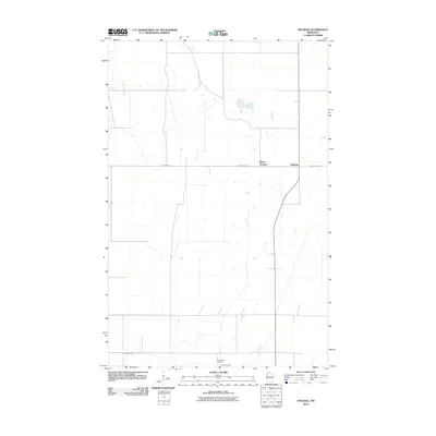
1918 Angus
Polk County, MN
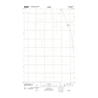
1919 Valley
Polk County, MN
1919 Winsor
Polk County, MN
1961 Angus
Polk County, MN
1961 Angus SE
Polk County, MN
1963 Key West
Polk County, MN
1963 Mallory
Polk County, MN
1964 Beltrami SW
Polk County, MN
1964 Bygland
Polk County, MN
1964 Eldred
Polk County, MN
1964 Girard
Polk County, MN
1964 Greenview
Polk County, MN
1965 Dugdale
Polk County, MN
1965 Harold
Polk County, MN
1965 Melvin
Polk County, MN
1966 Halverson Lake
Polk County, MN
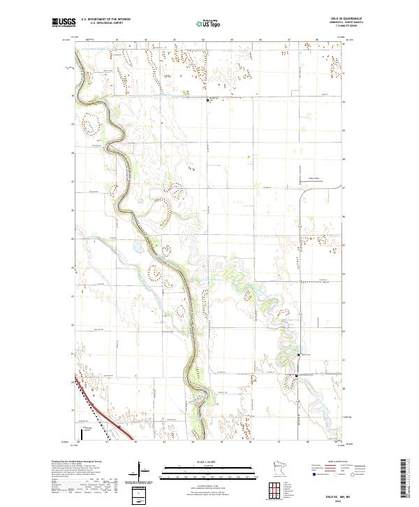
1966 Oslo SE
Polk County, MN
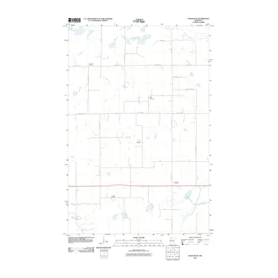
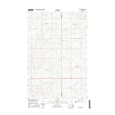
1966 Union Lake
Polk County, MN
1969 Fosston East
Polk County, MN
1969 Fosston SE
Polk County, MN
1969 Fosston West
Polk County, MN
1969 Mc Intosh NE
Polk County, MN
1969 Mc Intosh
Polk County, MN
1969 Olga
Polk County, MN
1974 St Croix Dalles NW
Polk County, MN
1982 Crookston NE
Polk County, MN
1982 Crookston SW
Polk County, MN
1982 Euclid
Polk County, MN
1982 Gentilly
Polk County, MN
1982 Tabor
Polk County, MN
1982 Warren SW
Polk County, MN
2010 Angus
Polk County, MN
2010 Angus SE
Polk County, MN
2010 Beltrami SW
Polk County, MN
2010 Crookston NE
Polk County, MN
2010 Crookston SW
Polk County, MN
2010 Dugdale
Polk County, MN
2010 Euclid
Polk County, MN
2010 Fosston East
Polk County, MN
2010 Fosston SE
Polk County, MN
2010 Fosston West
Polk County, MN
2010 Gentilly
Polk County, MN
2010 Girard
Polk County, MN
2010 Greenview
Polk County, MN
2010 Halverson Lake
Polk County, MN
2010 Harold
Polk County, MN
2010 Key West
Polk County, MN
2010 Mallory
Polk County, MN
2010 McIntosh NE
Polk County, MN
2010 Melvin
Polk County, MN
2010 Olga
Polk County, MN
2010 Tabor
Polk County, MN
2010 Union Lake
Polk County, MN
2010 Warren SW
Polk County, MN
2011 Bygland
Polk County, MN
2011 Eldred
Polk County, MN
2011 Oslo SE
Polk County, MN
2013 Angus
Polk County, MN
2013 Angus SE
Polk County, MN
2013 Beltrami SW
Polk County, MN
2013 Bygland
Polk County, MN
2013 Crookston NE
Polk County, MN
2013 Crookston SW
Polk County, MN
2013 Dugdale
Polk County, MN
2013 Eldred
Polk County, MN
2013 Euclid
Polk County, MN
2013 Fosston East
Polk County, MN
2013 Fosston SE
Polk County, MN
2013 Fosston West
Polk County, MN
2013 Gentilly
Polk County, MN
2013 Girard
Polk County, MN
2013 Greenview
Polk County, MN
2013 Halverson Lake
Polk County, MN
2013 Harold
Polk County, MN
2013 Key West
Polk County, MN
2013 Mallory
Polk County, MN
2013 McIntosh NE
Polk County, MN
2013 Melvin
Polk County, MN
2013 Olga
Polk County, MN
2013 Oslo SE
Polk County, MN
2013 Tabor
Polk County, MN
2013 Union Lake
Polk County, MN
2013 Warren SW
Polk County, MN
2016 Angus
Polk County, MN
2016 Angus SE
Polk County, MN
2016 Beltrami SW
Polk County, MN
2016 Bygland
Polk County, MN
2016 Crookston NE
Polk County, MN
2016 Crookston SW
Polk County, MN
2016 Dugdale
Polk County, MN
2016 Eldred
Polk County, MN
2016 Euclid
Polk County, MN
2016 Fosston East
Polk County, MN
2016 Fosston SE
Polk County, MN
2016 Fosston West
Polk County, MN
2016 Gentilly
Polk County, MN
2016 Girard
Polk County, MN
2016 Greenview
Polk County, MN
2016 Halverson Lake
Polk County, MN
2016 Harold
Polk County, MN
2016 Key West
Polk County, MN
2016 Mallory
Polk County, MN
2016 McIntosh NE
Polk County, MN
2016 Melvin
Polk County, MN
2016 Olga
Polk County, MN

2016 Oslo SE
Polk County, MN
2016 Tabor
Polk County, MN
2016 Union Lake
Polk County, MN
2016 Warren SW
Polk County, MN
2019 Angus
Polk County, MN
2019 Angus SE
Polk County, MN
2019 Beltrami SW
Polk County, MN
2019 Bygland
Polk County, MN
2019 Crookston NE
Polk County, MN
2019 Crookston SW
Polk County, MN
2019 Dugdale
Polk County, MN
2019 Eldred
Polk County, MN
2019 Euclid
Polk County, MN
2019 Fosston East
Polk County, MN
2019 Fosston SE
Polk County, MN
2019 Fosston West
Polk County, MN
2019 Gentilly
Polk County, MN
2019 Girard
Polk County, MN
2019 Greenview
Polk County, MN
2019 Halverson Lake
Polk County, MN
2019 Harold
Polk County, MN
2019 Key West
Polk County, MN
2019 Mallory
Polk County, MN
2019 McIntosh NE
Polk County, MN
2019 Melvin
Polk County, MN
2019 Olga
Polk County, MN
2019 Oslo SE
Polk County, MN
2019 Tabor
Polk County, MN
2019 Union Lake
Polk County, MN
2019 Warren SW
Polk County, MN
2022 Angus
Polk County, MN
2022 Angus SE
Polk County, MN
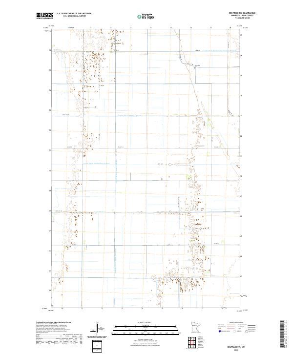
2022 Beltrami SW
Polk County, MN
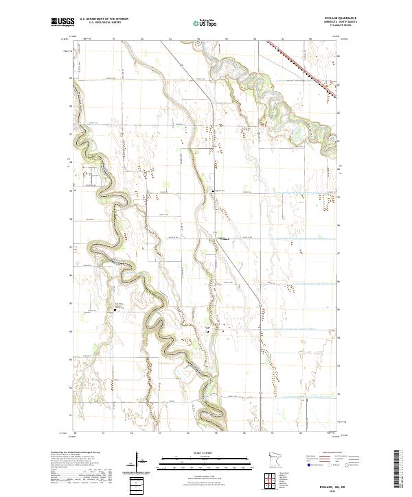
2022 Bygland
Polk County, MN
2022 Crookston NE
Polk County, MN
2022 Crookston SW
Polk County, MN
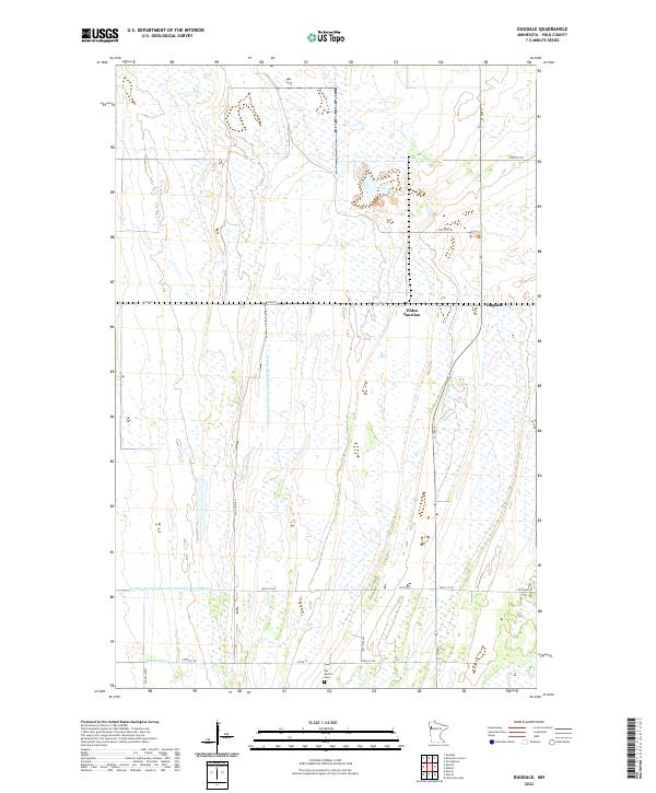
2022 Dugdale
Polk County, MN
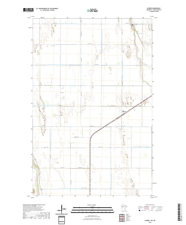
2022 Eldred
Polk County, MN
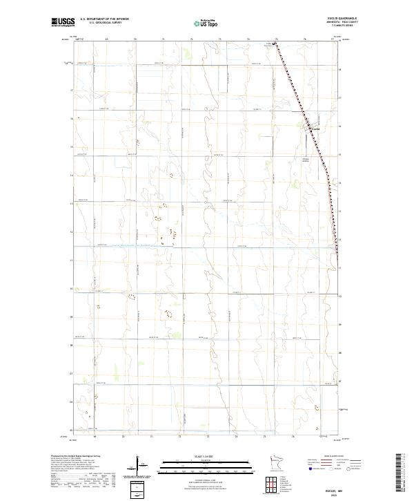
2022 Euclid
Polk County, MN
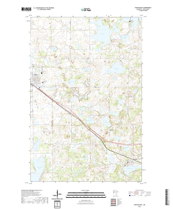
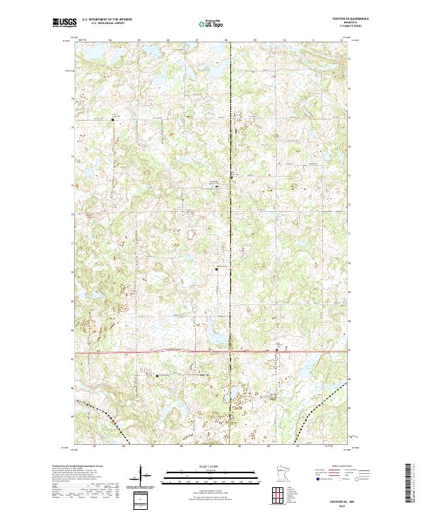
2022 Fosston East
Polk County, MN
2022 Fosston SE
Polk County, MN
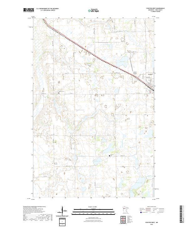
2022 Fosston West
Polk County, MN
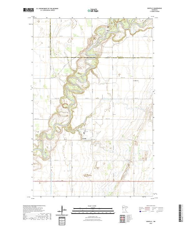
2022 Gentilly
Polk County, MN
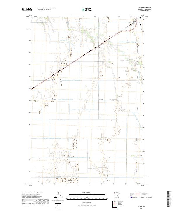
2022 Girard
Polk County, MN
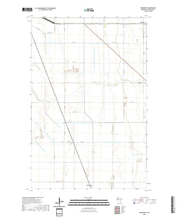
2022 Greenview
Polk County, MN
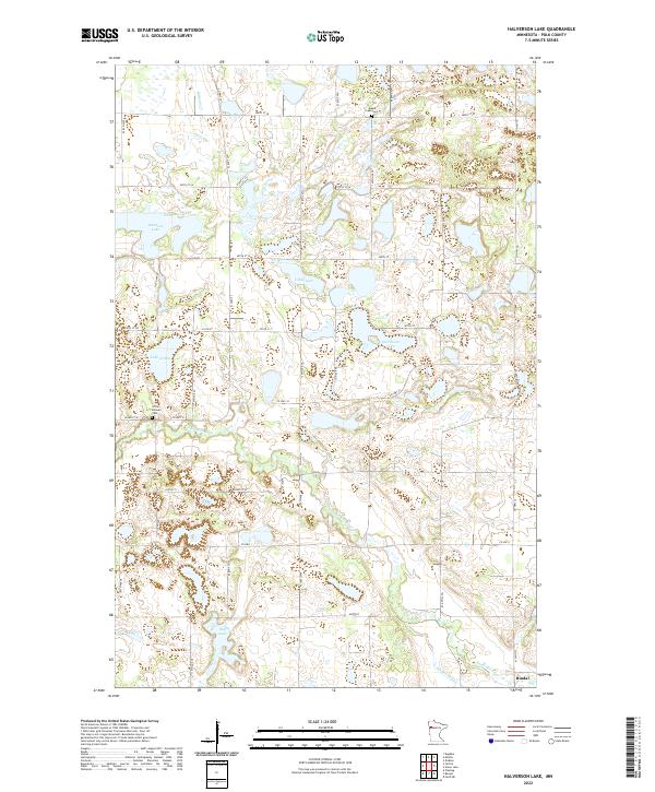
2022 Halverson Lake
Polk County, MN
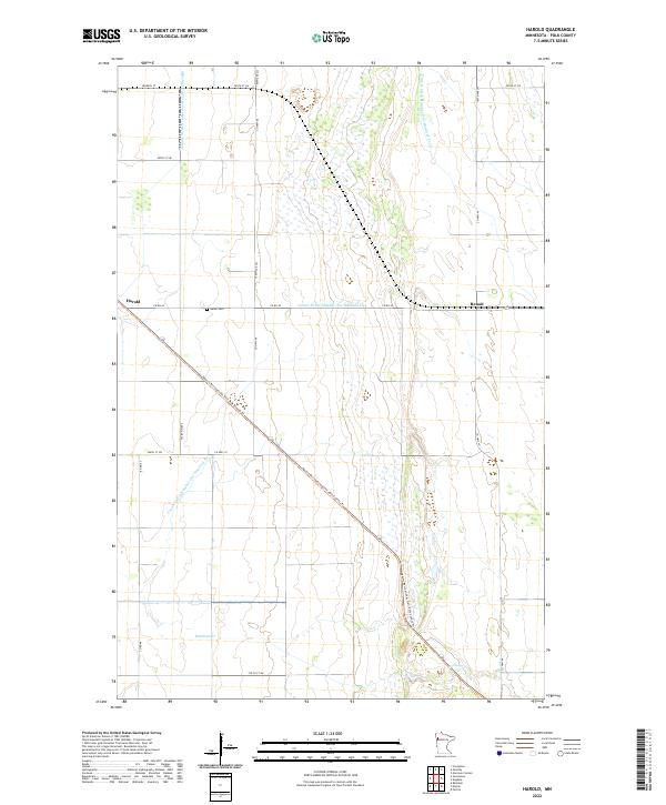
2022 Harold
Polk County, MN
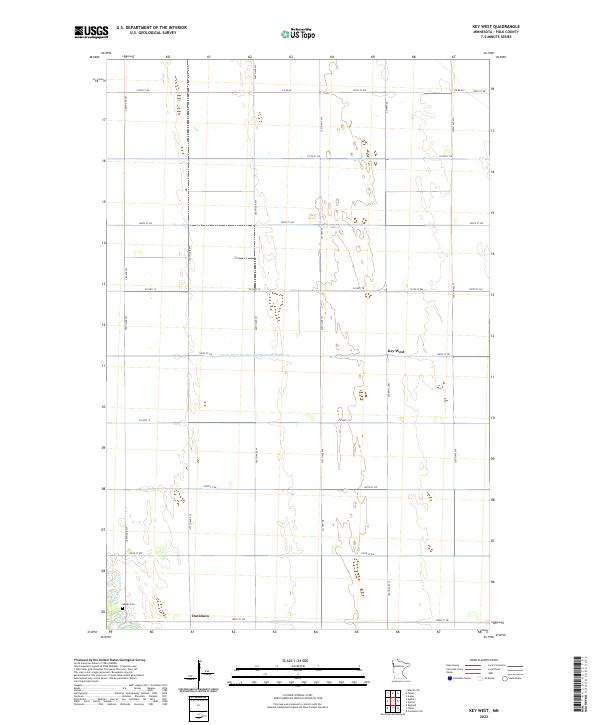
2022 Key West
Polk County, MN
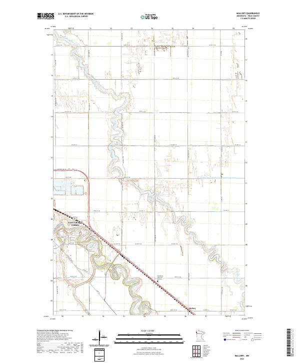
2022 Mallory
Polk County, MN
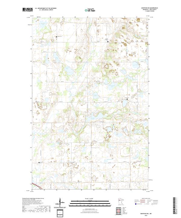
2022 McIntosh NE
Polk County, MN
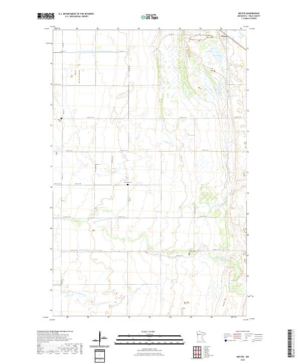
2022 Melvin
Polk County, MN
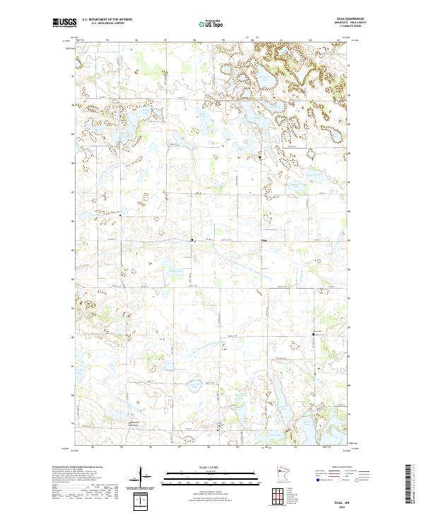
2022 Olga
Polk County, MN
2022 Oslo SE
Polk County, MN
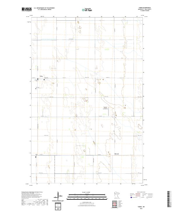
2022 Tabor
Polk County, MN
2022 Union Lake
Polk County, MN
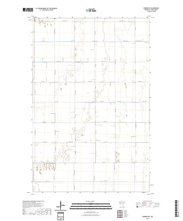
2022 Warren SW
Polk County, MN