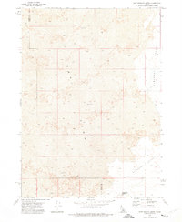
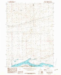
1972 Map of Rattlesnake Butte
USGS Topo · Published 1975About this map
Lava Flow dominates this high-desert landscape in the early 1970s, marking a stark volcanic field that stretches across the Blaine and Power County boundary. The geological survey reveals a terrain defined by its prehistoric activity, where the jagged basalt formations give way to the more open Pleasant Valley in the southeast. Human activity is sparse and focused on the necessities of range life, evidenced by a remote Corral and a lone Well. Standing as the primary landmark in this expansive area, Rattlesnake Butte rises above the surrounding contours, serving as a navigational waypoint for those traversing the Snake River Plain. This map provides a technical look at the intersection of geology and ranching, recording the few improved sites within a largely untouched natural environment.
Find a feature on this map
6 named features on this map. Tap any name to fly to it.
Don’t see what you’re looking for? This feature index may not catch every label — zoom into the map to look around manually.
Map Details
Editions of this 1972 Rattlesnake Butte Map
This is the sole edition of this map. No revisions or reprints were ever made.
Other maps of this area

1954 · Pocatello
USGS Topo · 1:250,000

1958 · Pocatello
USGS Topo · 1:250,000

1959 · Lake Walcott
USGS Topo · 1:62,500

1959 · Yale
USGS Topo · 1:62,500

1972 · Schodde Well
USGS Topo · 1:24,000

1972 · Bear Trap Cave
USGS Topo · 1:24,000
1972 · Pillar Butte SE
USGS Topo · 1:24,000
1972 · Pillar Butte NE
USGS Topo · 1:24,000
1972 · Pillar Butte
USGS Topo · 1:24,000
1984 · Gifford Spring
USGS Topo · 1:24,000