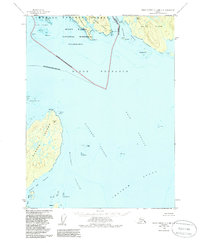
1958 Map of Prince Rupert C-2 and C-3
USGS Topo · Published 1986About this map
Wales Island and the neighboring Dundas Island anchor this maritime survey of the international border between Alaska and British Columbia. This coastal boundary is delineated through the center of Dixon Entrance, separating the southern reaches of the Misty Fjords National Monument from Canadian waters. The intricate coastline is defined by narrow passages and dangerous rock groups, including Oriflamme Passage and Connis Rks.
Find a feature on this map
40 named features on this map. Tap any name to fly to it.
Don’t see what you’re looking for? This feature index may not catch every label — zoom into the map to look around manually.
Map Details
Editions of this 1958 Prince Rupert C-2 and C-3 Map
2 editions found
Other maps of this area

1951 · Prince Rupert
USGS Topo · 1:250,000

1955 · Prince Rupert D-3
USGS Topo · 1:63,360

1955 · Prince Rupert D-2
USGS Topo · 1:63,360
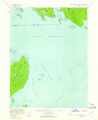
1958 · Prince Rupert C-2 and C-3
USGS Topo · 1:63,360

1959 · Prince Rupert
USGS Topo · 1:250,000

1964 · Prince Rupert
USGS Topo · 1:250,000
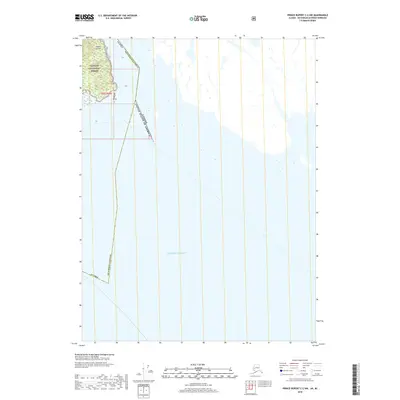
2018 · Prince Rupert C-2 NW
USGS Topo · 1:25,000
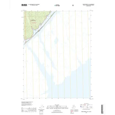
2018 · Prince Rupert D-2 SE
USGS Topo · 1:25,000
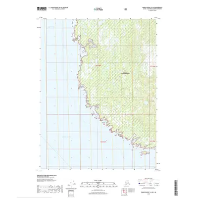
2018 · Prince Rupert D-3 SW
USGS Topo · 1:25,000
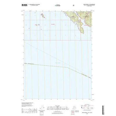
2018 · Prince Rupert C-3 NE
USGS Topo · 1:25,000