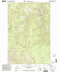
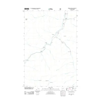
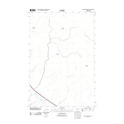
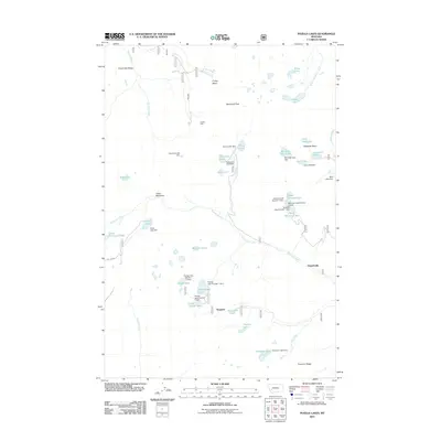
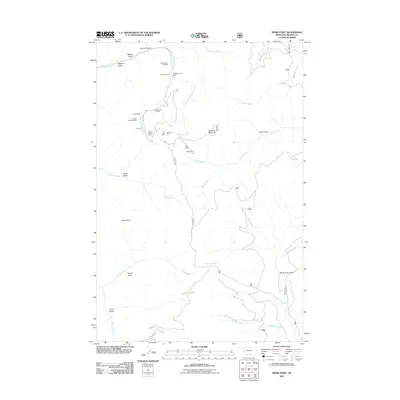
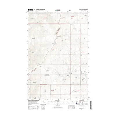
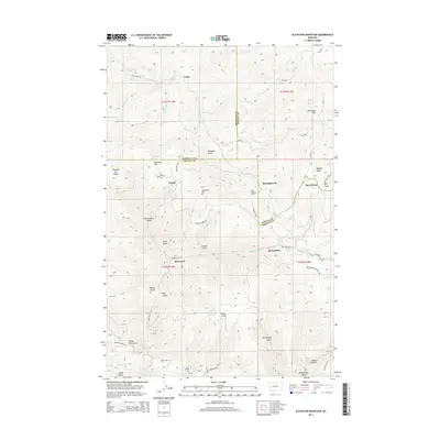
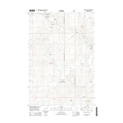
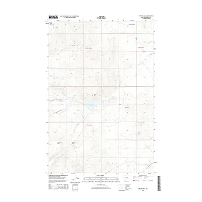
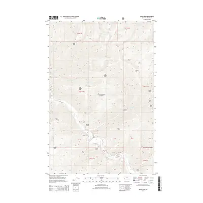
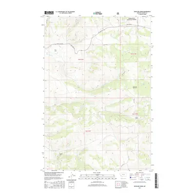
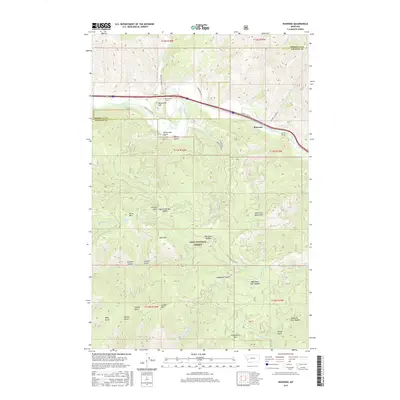
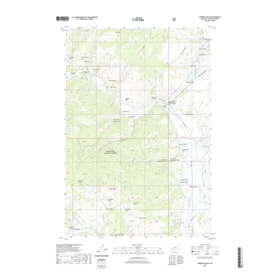
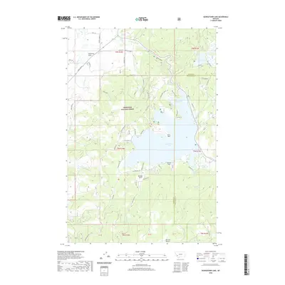
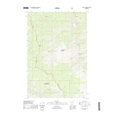
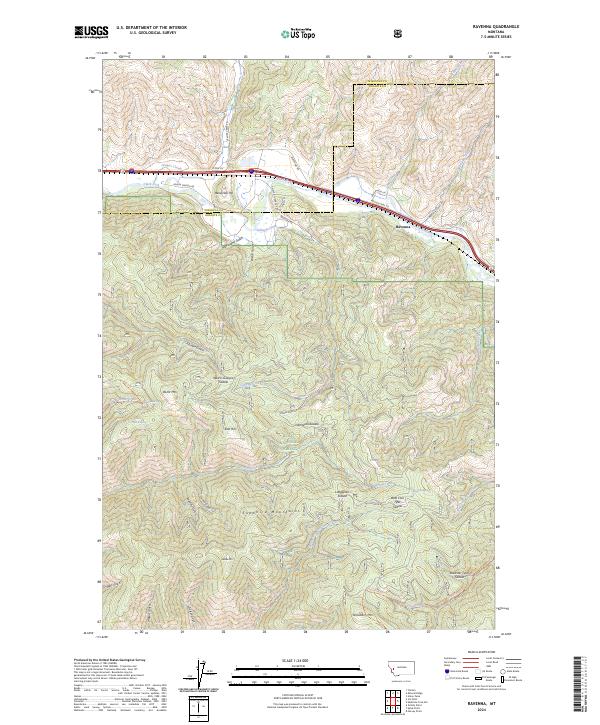
1989 Map of Ravenna
USGS Topo · Published 1989About this map
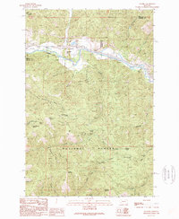
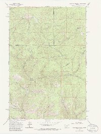
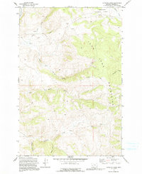
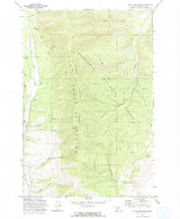
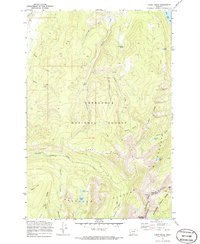
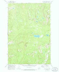
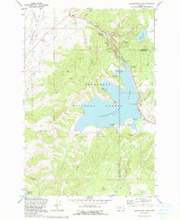
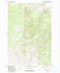
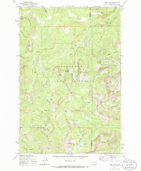
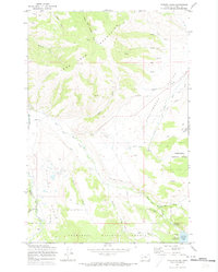
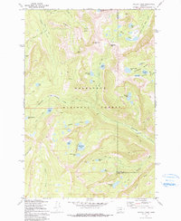
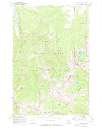
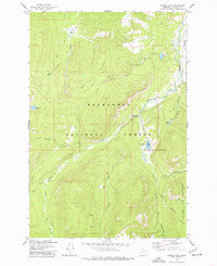
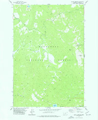
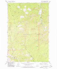
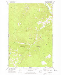
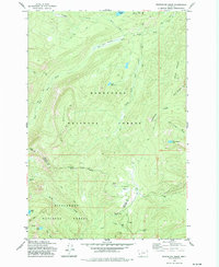
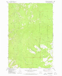
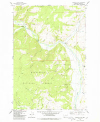
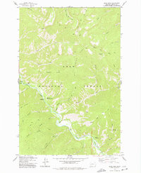
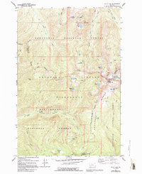
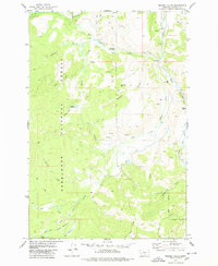
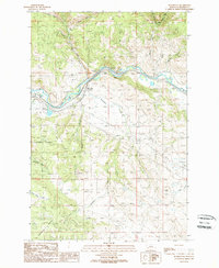
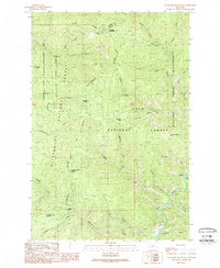
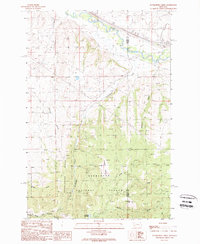
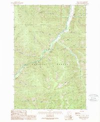
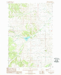
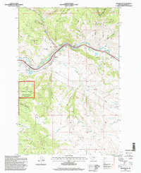
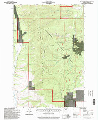
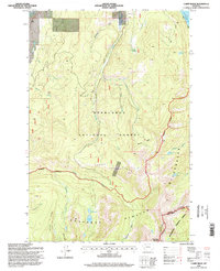
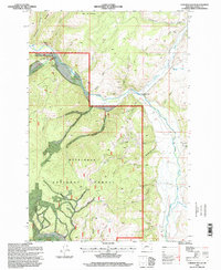
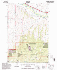
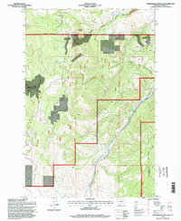
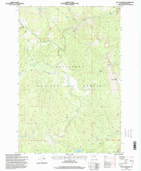
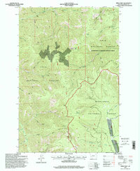
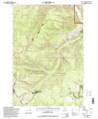
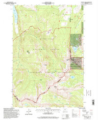
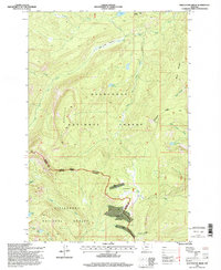
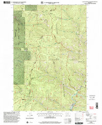
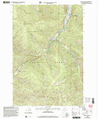
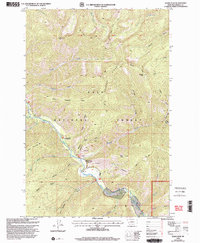
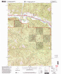
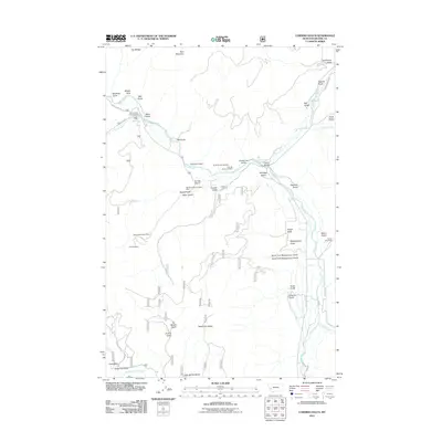
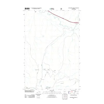
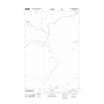
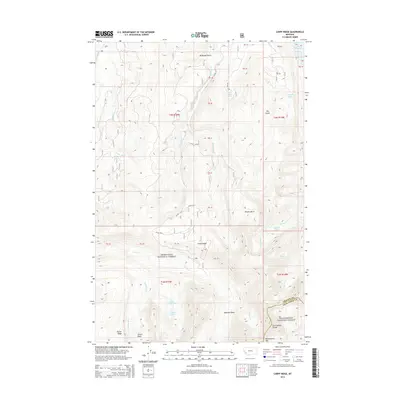
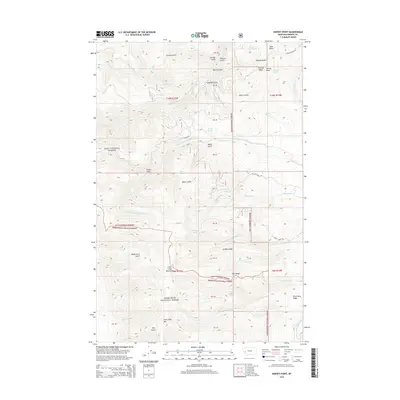
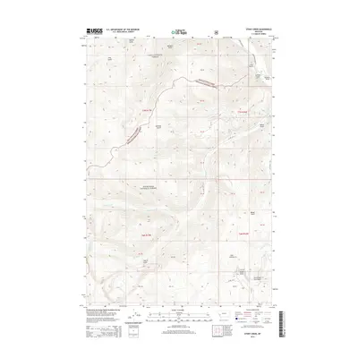
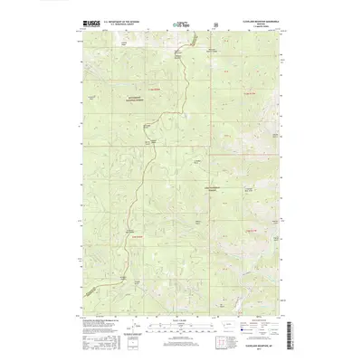
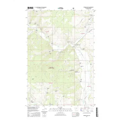
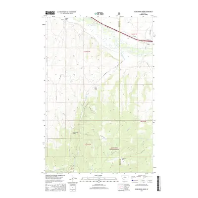
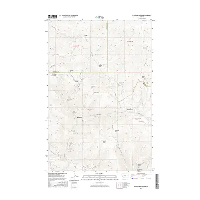
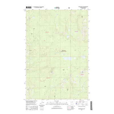
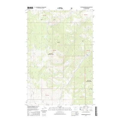
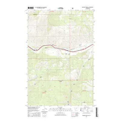
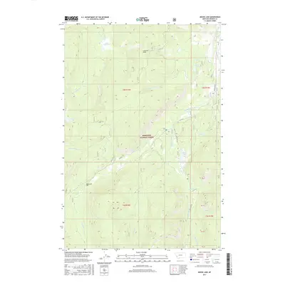
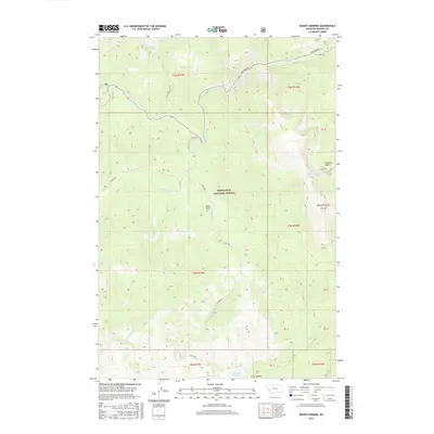
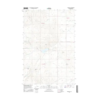
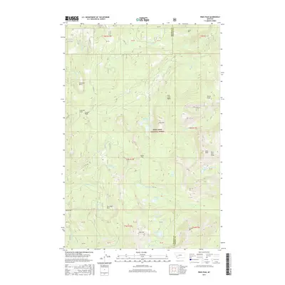
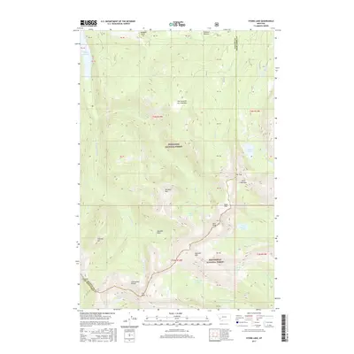
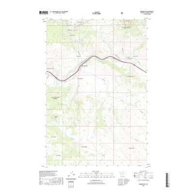
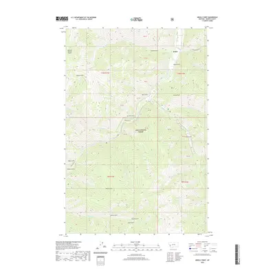
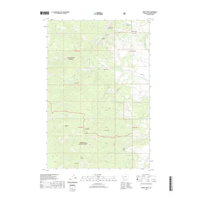
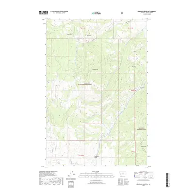
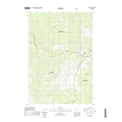
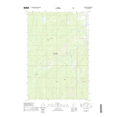
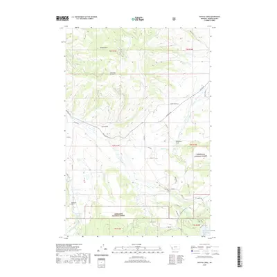
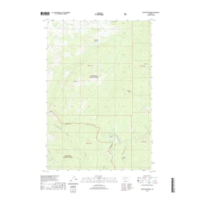
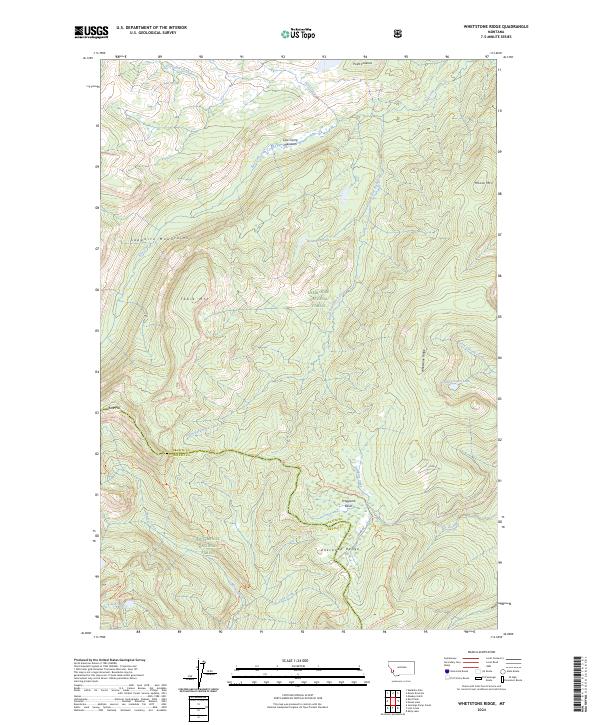
The Clark Fork river valley serves as the central artery for this late-20th-century topographic record, where the Montana mountain landscape meets industrial and recreational infrastructure. The corridor is defined by the heavy infrastructure of the Beavertail Tunnels and Nimrod Tunnels, facilitating transport through the steep terrain between Bonita and Ravenna. Most of the land falls within the Lolo National Forest, where numerous named gulches like Corona Gulch and Mason Gulch drain toward the river. Local landmarks such as Beavertail Hill Campground and Mormon Spring highlight the intersection of public land use and natural resources. Notable elevations like Golden Mountain and Strawberry Mountain frame the horizon, while smaller features like the Gravel Pit and various saddles provide insight into the specific land management and navigation patterns of the Granite and Missoula County border.
Find a feature on this map
44 named features on this map. Tap any name to fly to it.
Don’t see what you’re looking for? This feature index may not catch every label — zoom into the map to look around manually.
Map Details
Editions of this 1989 Ravenna Map
This is the sole edition of this map. No revisions or reprints were ever made.
Historical Maps of Ravenna Through Time
218 maps found
1909 Sapphire
Granite County, MT
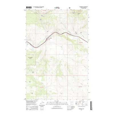
1959 Bearmouth
Granite County, MT
1959 Ravenna
Granite County, MT
1965 Elevation Mountain
Granite County, MT
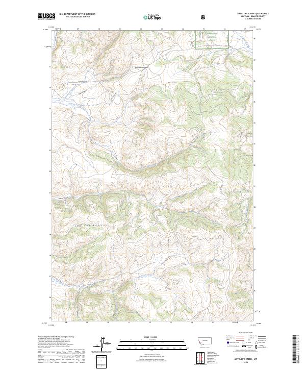
1971 Antelope Creek
Granite County, MT
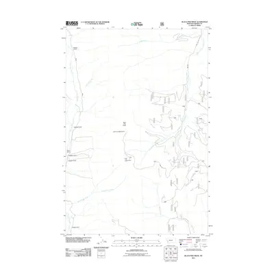
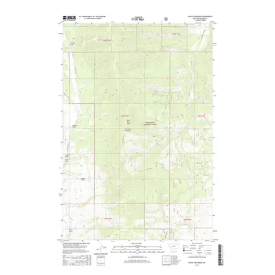
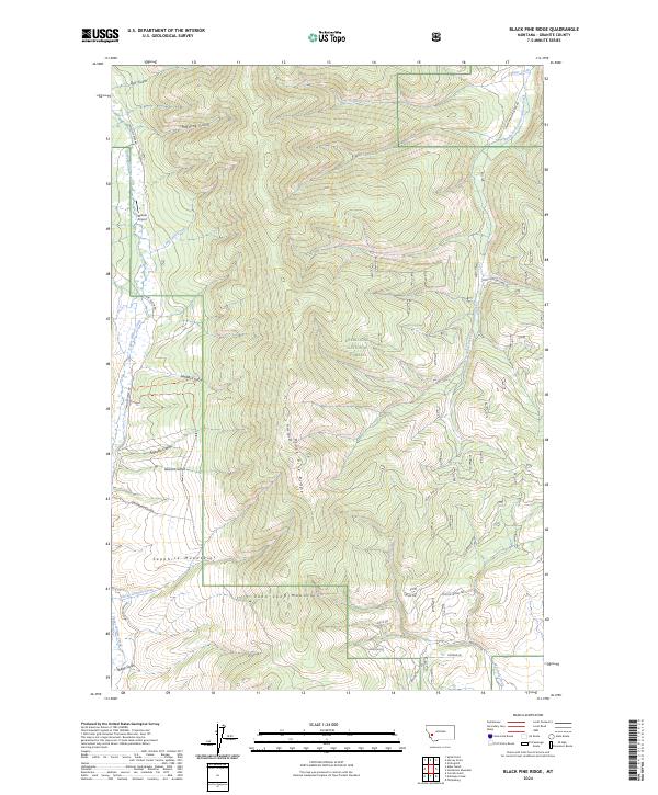
1971 Black Pine Ridge
Granite County, MT
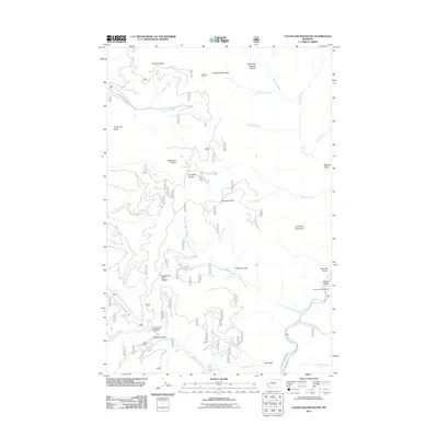
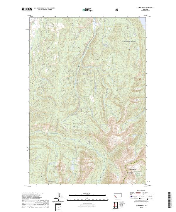
1971 Carpp Ridge
Granite County, MT
1971 Fred Burr Lake
Granite County, MT
1971 Georgetown Lake
Granite County, MT
1971 Henderson Mountain
Granite County, MT
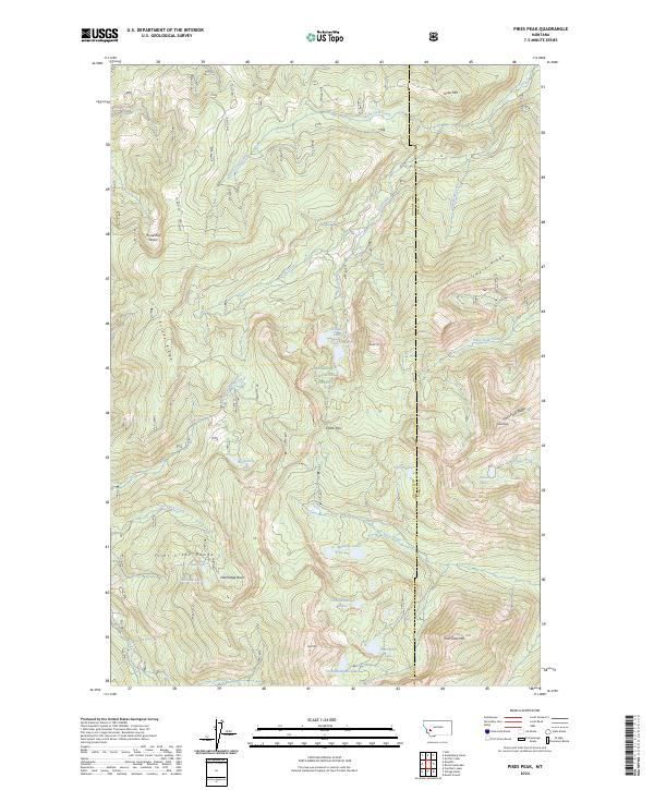
1971 Pikes Peak
Granite County, MT
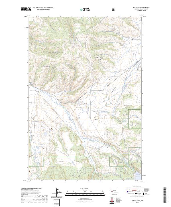
1971 Potato Lakes
Granite County, MT
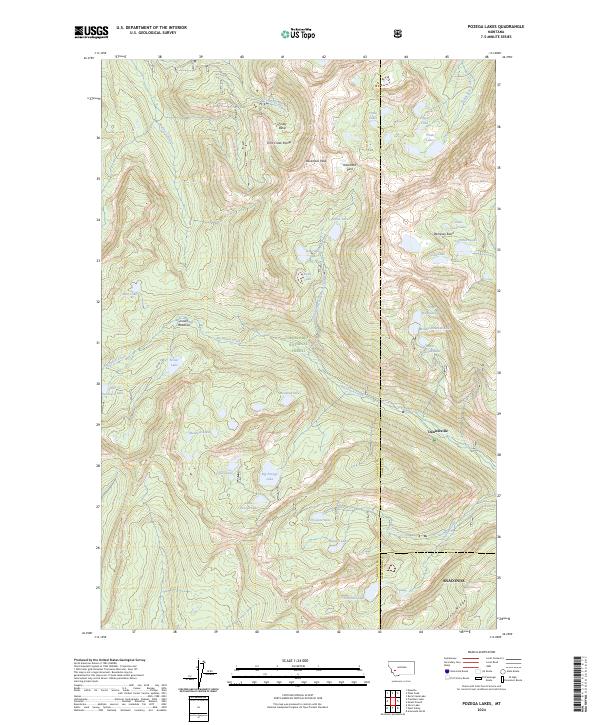
1971 Pozega Lakes
Granite County, MT
1971 Stony Creek
Granite County, MT
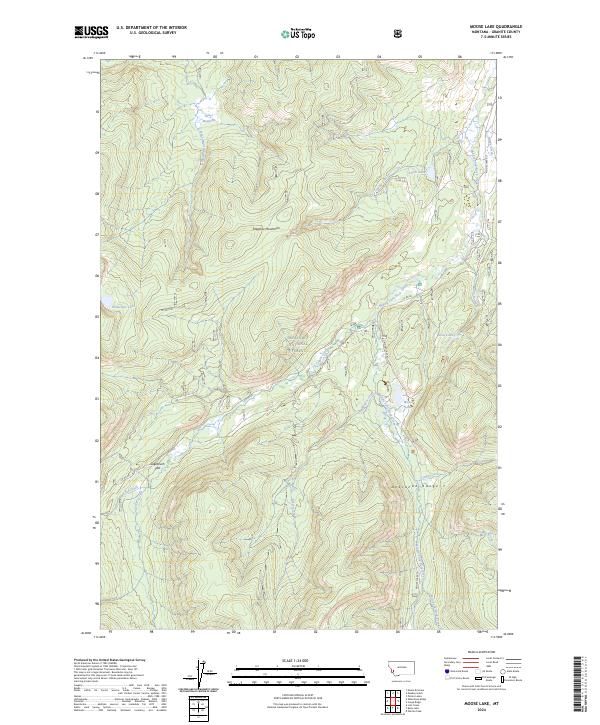
1974 Moose Lake
Granite County, MT
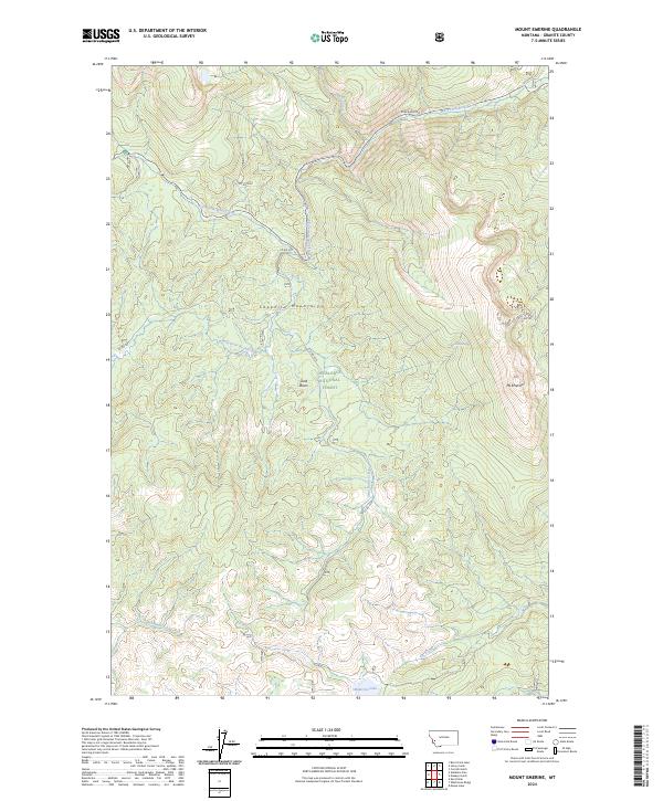
1974 Mount Emerine
Granite County, MT
1974 Sawmill Saddle
Granite County, MT
1974 Stony Creek
Granite County, MT
1974 Whetstone Ridge
Granite County, MT
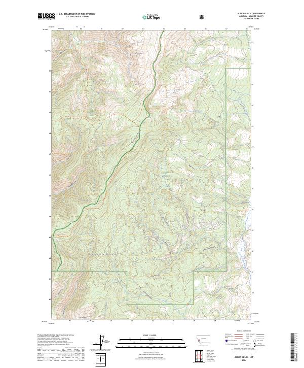
1975 Alder Gulch
Granite County, MT
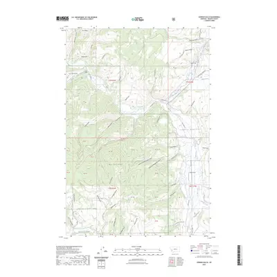
1975 Cornish Gulch
Granite County, MT
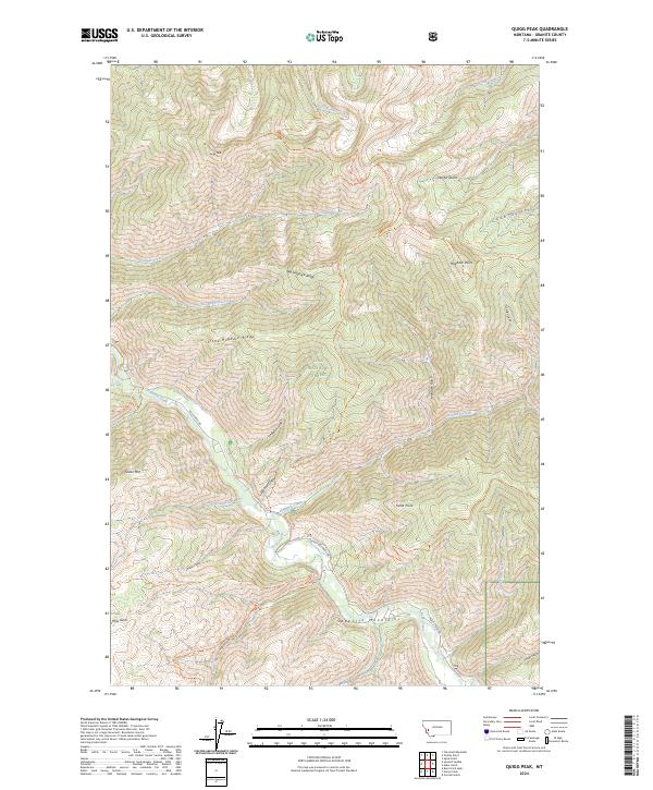
1975 Quigg Peak
Granite County, MT
1977 Kelly Lake
Granite County, MT
1978 Maukey Gulch
Granite County, MT
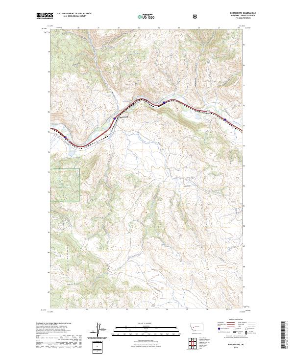
1989 Bearmouth
Granite County, MT
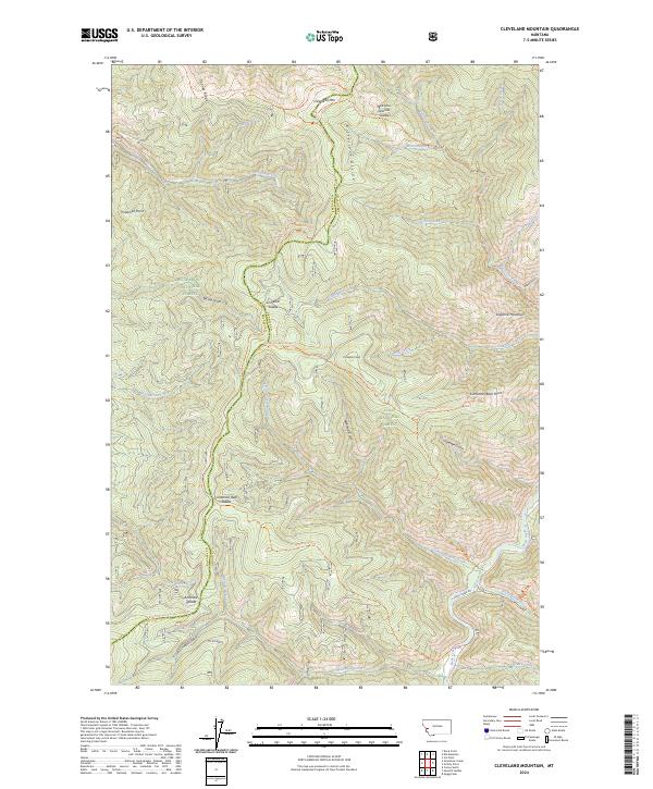
1989 Cleveland Mountain
Granite County, MT
1989 Dunkleberg Creek
Granite County, MT
1989 Grizzly Point
Granite County, MT
1989 Harvey Point
Granite County, MT
1989 Limestone Ridge
Granite County, MT
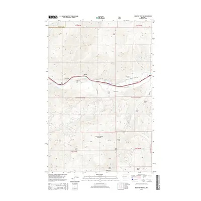
1989 Medicine Tree Hill
Granite County, MT
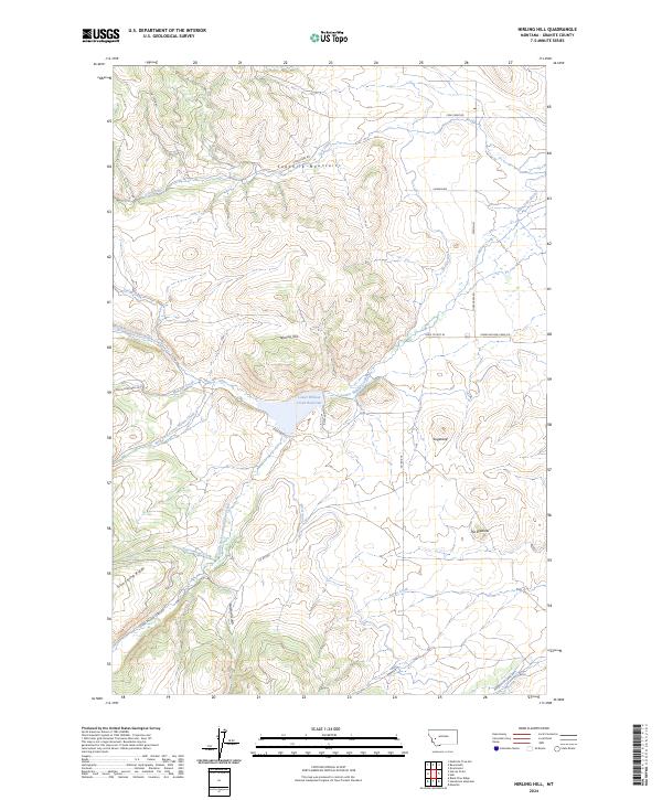
1989 Nirling Hill
Granite County, MT
1989 Ravenna
Granite County, MT
1989 Spink Point
Granite County, MT
1996 Alder Gulch
Granite County, MT
1996 Antelope Creek
Granite County, MT
1996 Bearmouth
Granite County, MT
1996 Black Pine Ridge
Granite County, MT
1996 Carpp Ridge
Granite County, MT
1996 Cornish Gulch
Granite County, MT
1996 Dunkleberg Creek
Granite County, MT
1996 Fred Burr Lake
Granite County, MT
1996 Georgetown Lake
Granite County, MT
1996 Harvey Point
Granite County, MT
1996 Henderson Mountain
Granite County, MT
1996 Maukey Gulch
Granite County, MT
1996 Medicine Tree Hill
Granite County, MT
1996 Moose Lake
Granite County, MT
1996 Mount Emerine
Granite County, MT
1996 Nirling Hill
Granite County, MT
1996 Pikes Peak
Granite County, MT
1996 Potato Lakes
Granite County, MT

1996 Pozega Lakes
Granite County, MT
1996 Spink Point
Granite County, MT
1996 Stony Creek
Granite County, MT
1996 Storm Lake
Granite County, MT
1996 Whetstone Ridge
Granite County, MT
1999 Cleveland Mountain
Granite County, MT
1999 Grizzly Point
Granite County, MT
1999 Quigg Peak
Granite County, MT
1999 Ravenna
Granite County, MT
1999 Sawmill Saddle
Granite County, MT
2011 Alder Gulch
Granite County, MT
2011 Antelope Creek
Granite County, MT
2011 Bearmouth
Granite County, MT
2011 Black Pine Ridge
Granite County, MT
2011 Carpp Ridge
Granite County, MT
2011 Cleveland Mountain
Granite County, MT
2011 Cornish Gulch
Granite County, MT
2011 Dunkleberg Creek
Granite County, MT
2011 Elevation Mountain
Granite County, MT
2011 Fred Burr Lake
Granite County, MT
2011 Georgetown Lake
Granite County, MT
2011 Grizzly Point
Granite County, MT
2011 Harvey Point
Granite County, MT
2011 Henderson Mountain
Granite County, MT
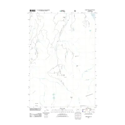
2011 Kelly Lake
Granite County, MT
2011 Limestone Ridge
Granite County, MT
2011 Maukey Gulch
Granite County, MT
2011 Medicine Tree Hill
Granite County, MT
2011 Moose Lake
Granite County, MT
2011 Mount Emerine
Granite County, MT
2011 Nirling Hill
Granite County, MT
2011 Pikes Peak
Granite County, MT
2011 Potato Lakes
Granite County, MT
2011 Pozega Lakes
Granite County, MT
2011 Quigg Peak
Granite County, MT
2011 Ravenna
Granite County, MT
2011 Sawmill Saddle
Granite County, MT
2011 Spink Point
Granite County, MT
2011 Stony Creek
Granite County, MT
2011 Storm Lake
Granite County, MT
2011 Whetstone Ridge
Granite County, MT
2014 Alder Gulch
Granite County, MT
2014 Antelope Creek
Granite County, MT
2014 Bearmouth
Granite County, MT
2014 Black Pine Ridge
Granite County, MT
2014 Carpp Ridge
Granite County, MT
2014 Cleveland Mountain
Granite County, MT
2014 Cornish Gulch
Granite County, MT
2014 Dunkleberg Creek
Granite County, MT
2014 Elevation Mountain
Granite County, MT
2014 Fred Burr Lake
Granite County, MT
2014 Georgetown Lake
Granite County, MT
2014 Grizzly Point
Granite County, MT
2014 Harvey Point
Granite County, MT
2014 Henderson Mountain
Granite County, MT
2014 Kelly Lake
Granite County, MT
2014 Limestone Ridge
Granite County, MT
2014 Maukey Gulch
Granite County, MT
2014 Medicine Tree Hill
Granite County, MT
2014 Moose Lake
Granite County, MT
2014 Mount Emerine
Granite County, MT
2014 Nirling Hill
Granite County, MT
2014 Pikes Peak
Granite County, MT
2014 Potato Lakes
Granite County, MT
2014 Pozega Lakes
Granite County, MT
2014 Quigg Peak
Granite County, MT
2014 Ravenna
Granite County, MT
2014 Sawmill Saddle
Granite County, MT
2014 Spink Point
Granite County, MT
2014 Stony Creek
Granite County, MT
2014 Storm Lake
Granite County, MT
2014 Whetstone Ridge
Granite County, MT
2017 Alder Gulch
Granite County, MT
2017 Antelope Creek
Granite County, MT
2017 Bearmouth
Granite County, MT
2017 Black Pine Ridge
Granite County, MT
2017 Carpp Ridge
Granite County, MT
2017 Cleveland Mountain
Granite County, MT
2017 Cornish Gulch
Granite County, MT
2017 Dunkleberg Creek
Granite County, MT
2017 Elevation Mountain
Granite County, MT
2017 Fred Burr Lake
Granite County, MT
2017 Georgetown Lake
Granite County, MT
2017 Grizzly Point
Granite County, MT
2017 Harvey Point
Granite County, MT
2017 Henderson Mountain
Granite County, MT
2017 Kelly Lake
Granite County, MT
2017 Limestone Ridge
Granite County, MT
2017 Maukey Gulch
Granite County, MT
2017 Medicine Tree Hill
Granite County, MT
2017 Moose Lake
Granite County, MT
2017 Mount Emerine
Granite County, MT
2017 Nirling Hill
Granite County, MT
2017 Pikes Peak
Granite County, MT
2017 Potato Lakes
Granite County, MT
2017 Pozega Lakes
Granite County, MT
2017 Quigg Peak
Granite County, MT
2017 Ravenna
Granite County, MT
2017 Sawmill Saddle
Granite County, MT
2017 Spink Point
Granite County, MT
2017 Stony Creek
Granite County, MT
2017 Storm Lake
Granite County, MT
2017 Whetstone Ridge
Granite County, MT
2020 Alder Gulch
Granite County, MT
2020 Antelope Creek
Granite County, MT
2020 Bearmouth
Granite County, MT
2020 Black Pine Ridge
Granite County, MT
2020 Carpp Ridge
Granite County, MT
2020 Cleveland Mountain
Granite County, MT
2020 Cornish Gulch
Granite County, MT
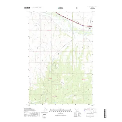
2020 Dunkleberg Creek
Granite County, MT
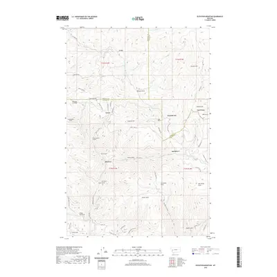
2020 Elevation Mountain
Granite County, MT
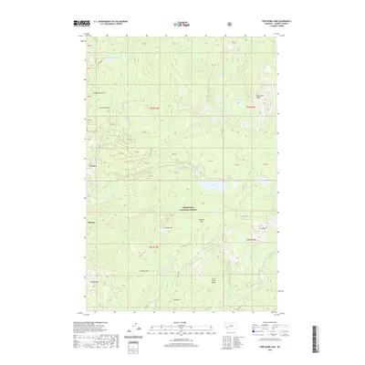
2020 Fred Burr Lake
Granite County, MT
2020 Georgetown Lake
Granite County, MT
2020 Grizzly Point
Granite County, MT
2020 Harvey Point
Granite County, MT
2020 Henderson Mountain
Granite County, MT
2020 Kelly Lake
Granite County, MT
2020 Limestone Ridge
Granite County, MT
2020 Maukey Gulch
Granite County, MT
2020 Medicine Tree Hill
Granite County, MT
2020 Moose Lake
Granite County, MT
2020 Mount Emerine
Granite County, MT
2020 Nirling Hill
Granite County, MT
2020 Pikes Peak
Granite County, MT
2020 Potato Lakes
Granite County, MT
2020 Pozega Lakes
Granite County, MT
2020 Quigg Peak
Granite County, MT
2020 Ravenna
Granite County, MT
2020 Sawmill Saddle
Granite County, MT
2020 Spink Point
Granite County, MT
2020 Stony Creek
Granite County, MT
2020 Storm Lake
Granite County, MT
2020 Whetstone Ridge
Granite County, MT
2023 Cornish Gulch
Granite County, MT
2024 Alder Gulch
Granite County, MT
2024 Antelope Creek
Granite County, MT
2024 Bearmouth
Granite County, MT
2024 Black Pine Ridge
Granite County, MT
2024 Carpp Ridge
Granite County, MT
2024 Cleveland Mountain
Granite County, MT
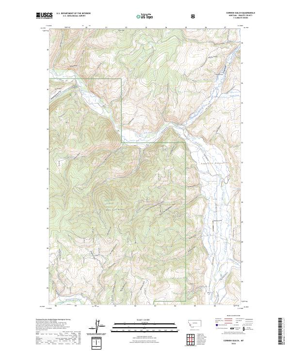
2024 Cornish Gulch
Granite County, MT
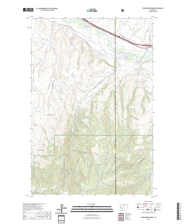
2024 Dunkleberg Creek
Granite County, MT
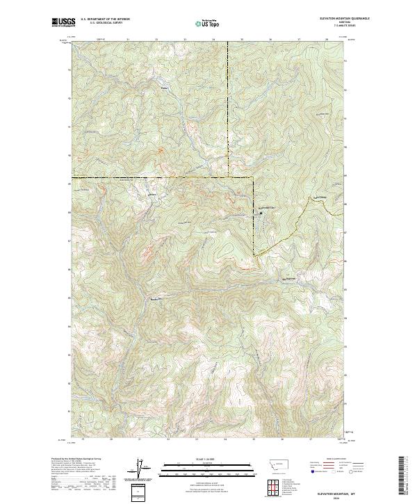
2024 Elevation Mountain
Granite County, MT
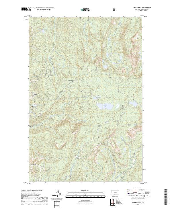
2024 Fred Burr Lake
Granite County, MT
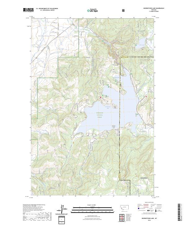
2024 Georgetown Lake
Granite County, MT
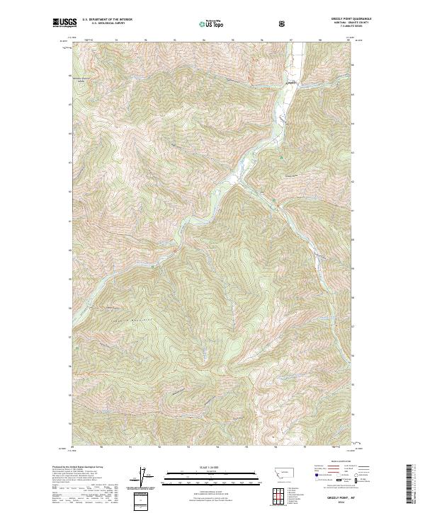
2024 Grizzly Point
Granite County, MT
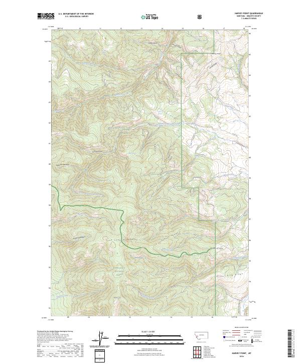
2024 Harvey Point
Granite County, MT
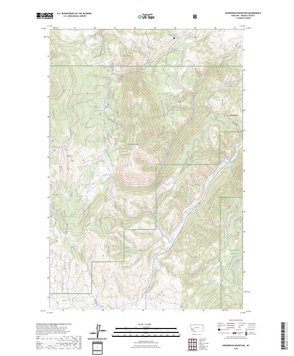
2024 Henderson Mountain
Granite County, MT
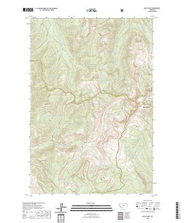
2024 Kelly Lake
Granite County, MT
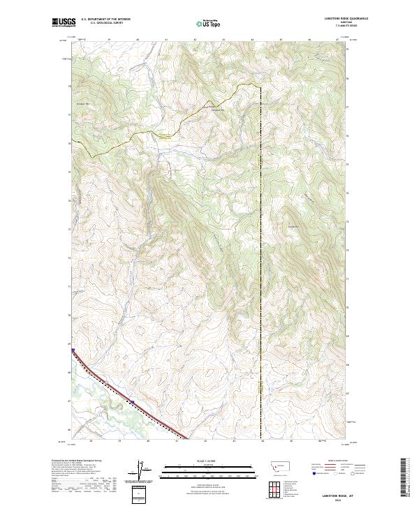
2024 Limestone Ridge
Granite County, MT
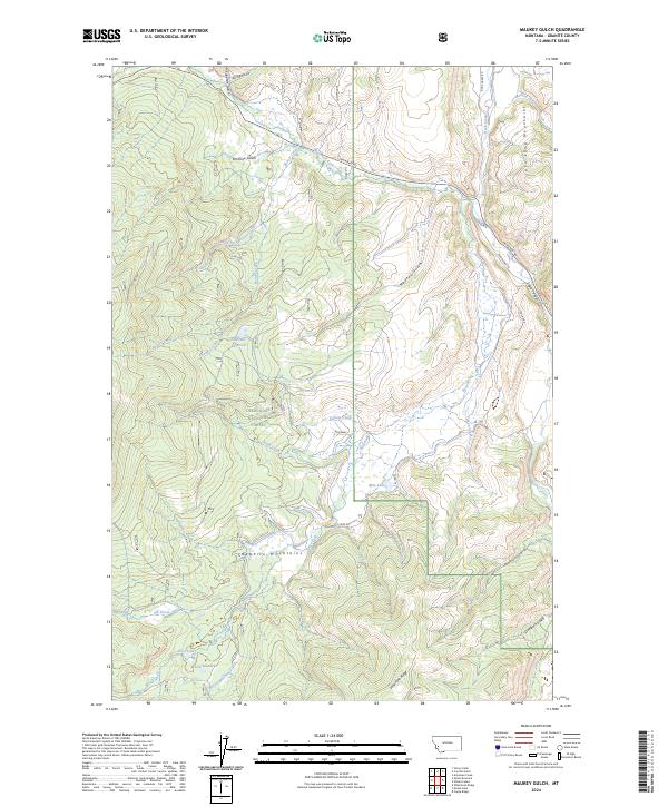
2024 Maukey Gulch
Granite County, MT
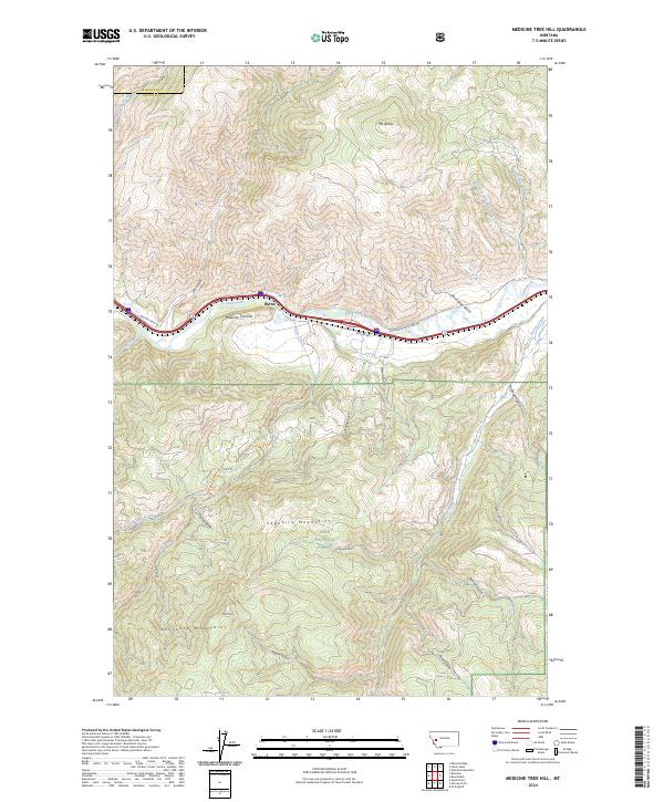
2024 Medicine Tree Hill
Granite County, MT
2024 Moose Lake
Granite County, MT
2024 Mount Emerine
Granite County, MT
2024 Nirling Hill
Granite County, MT
2024 Pikes Peak
Granite County, MT
2024 Potato Lakes
Granite County, MT
2024 Pozega Lakes
Granite County, MT
2024 Quigg Peak
Granite County, MT
2024 Ravenna
Granite County, MT
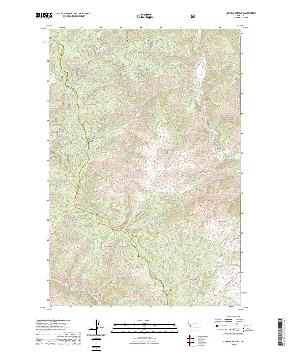
2024 Sawmill Saddle
Granite County, MT
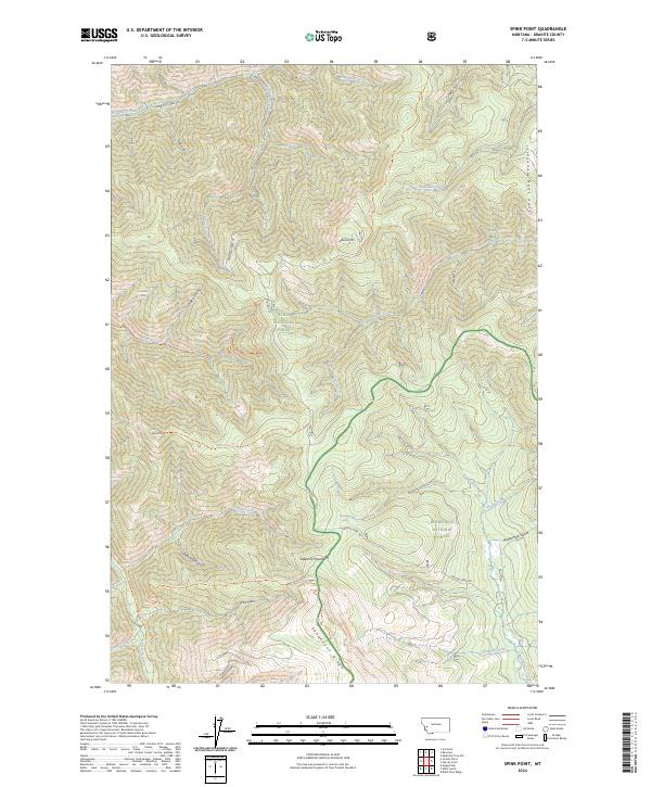
2024 Spink Point
Granite County, MT
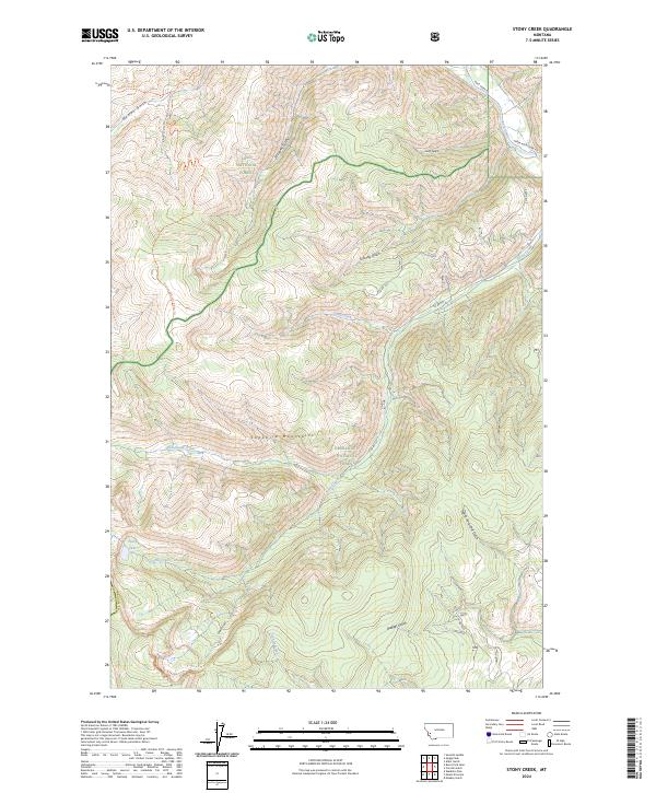
2024 Stony Creek
Granite County, MT
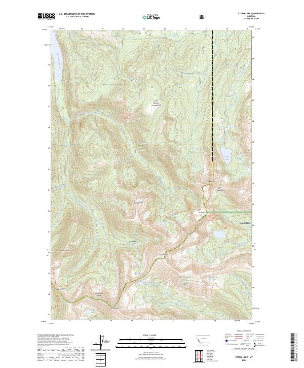
2024 Storm Lake
Granite County, MT
2024 Whetstone Ridge
Granite County, MT