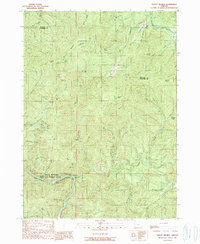
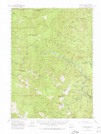
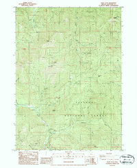
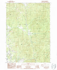
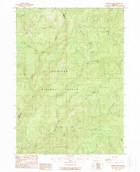
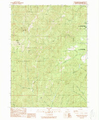
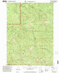
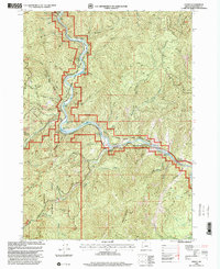
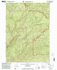
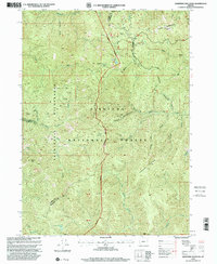
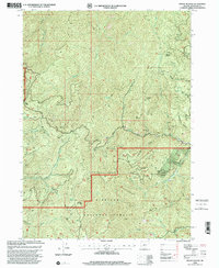
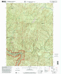
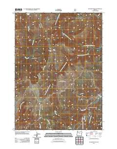
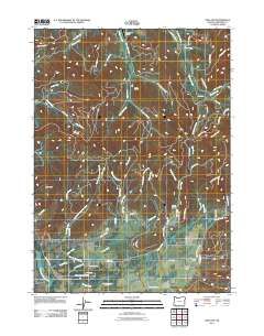
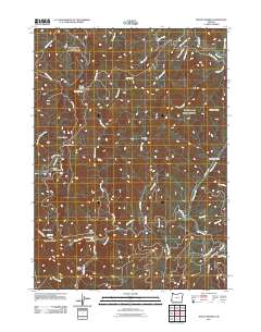
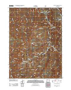
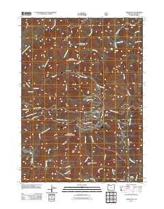
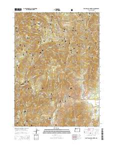
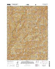
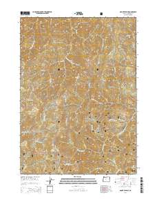
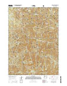
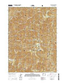
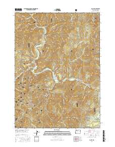
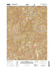
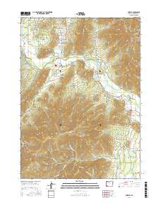
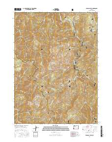
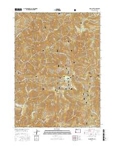
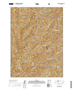
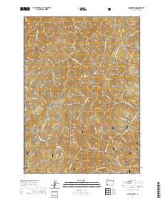
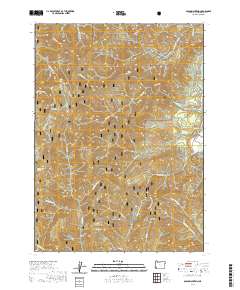
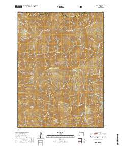
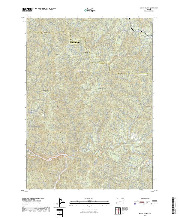
1989 Map of Mount Reuben
USGS Topo · Published 1989About this map
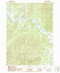
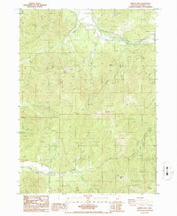
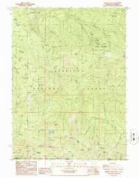
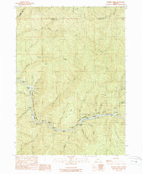
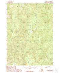
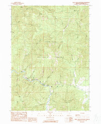
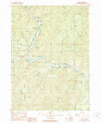
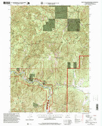
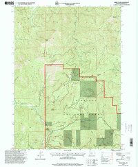
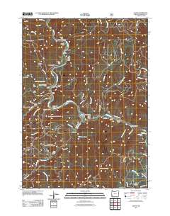
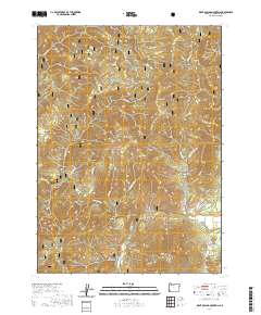
Rogue National Wild and Scenic River defines the southern portion of this landscape, carving through a region of high ridges and deep gulches. This survey, compiled from 1984 photography, documents a rugged mining district straddling the Douglas and Josephine county line. Resource extraction is evident throughout the terrain, with operations such as Victory Mine, Pix Mine, and Archer Mine scattered across the slopes of Mount Reuben.
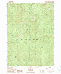
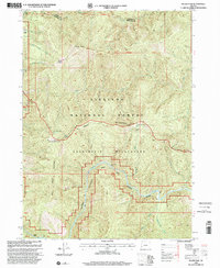
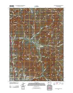
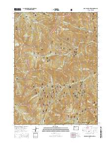
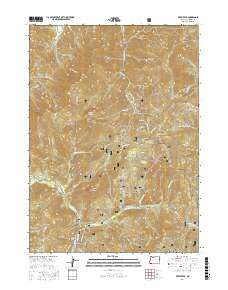
Find a feature on this map
52 named features on this map. Tap any name to fly to it.
Don’t see what you’re looking for? This feature index may not catch every label — zoom into the map to look around manually.
Map Details
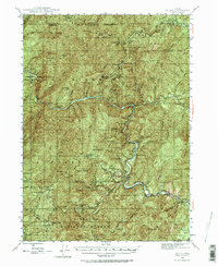
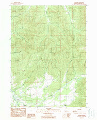
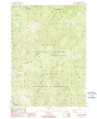
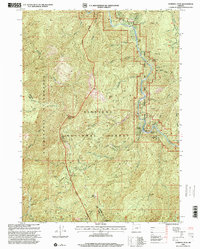
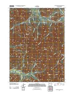
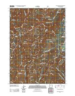
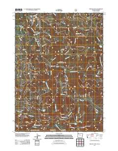
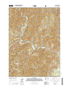
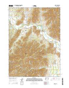
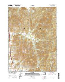
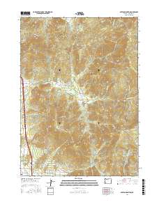
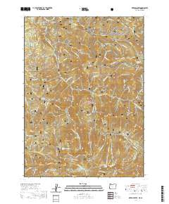
Editions of this 1989 Mount Reuben Map
This is the sole edition of this map. No revisions or reprints were ever made.
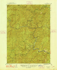
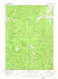
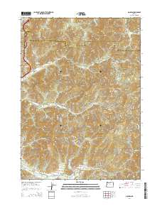
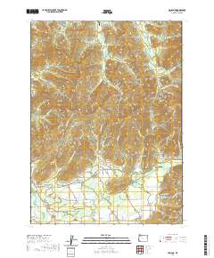
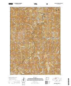
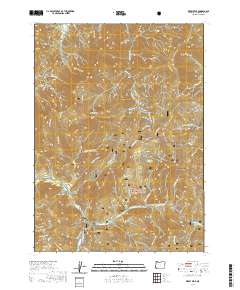
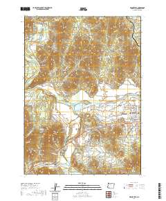
Historical Maps of Douglas County Through Time
161 maps found
1946 Galice
Josephine County, OR
1948 Galice
Josephine County, OR
1954 Oregon Caves
Josephine County, OR
1954 Pearsoll Peak
Josephine County, OR
1974 Grants Pass NE
Josephine County, OR
1974 Grants Pass NW
Josephine County, OR
1986 Golden
Josephine County, OR
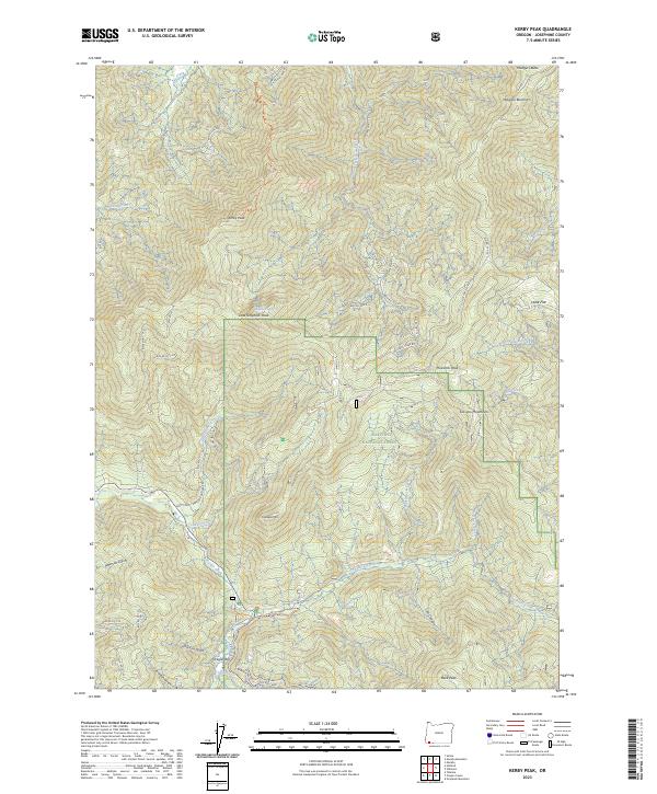
1986 Kerby Peak
Josephine County, OR
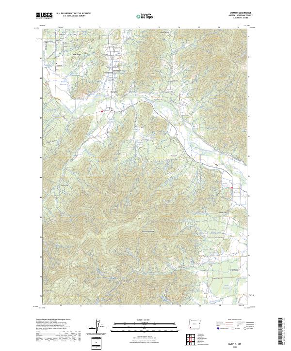
1986 Murphy
Josephine County, OR
1986 Murphy Mtn
Josephine County, OR
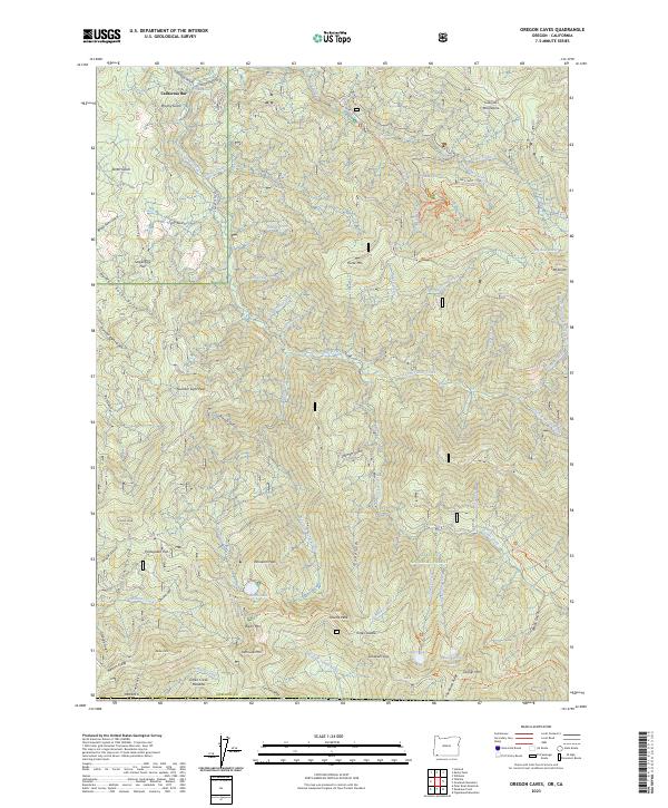
1986 Oregon Caves
Josephine County, OR
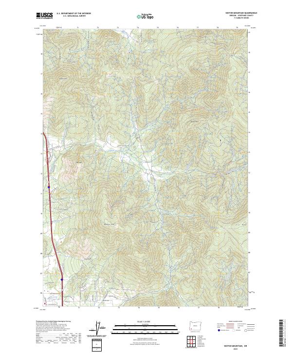
1986 Sexton Mtn
Josephine County, OR
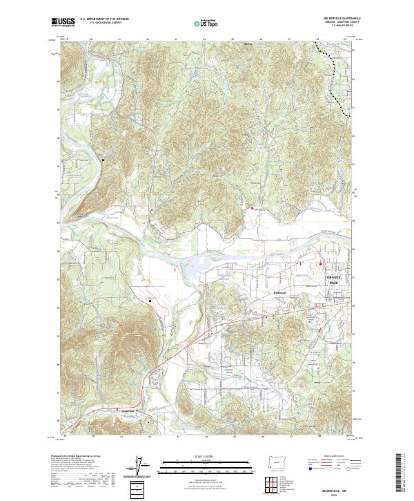
1986 Wilderville
Josephine County, OR
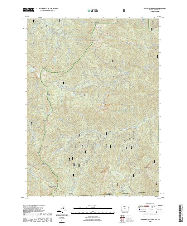
1987 Grayback Mountain
Josephine County, OR
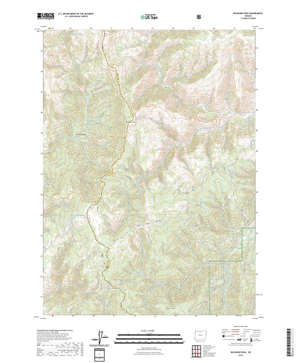
1989 Buckskin Peak
Josephine County, OR
1989 Bunker Creek
Josephine County, OR
1989 Chrome Ridge
Josephine County, OR
1989 Eight Dollar Mountain
Josephine County, OR
1989 Galice
Josephine County, OR
1989 Hobson Horn
Josephine County, OR
1989 Holland
Josephine County, OR
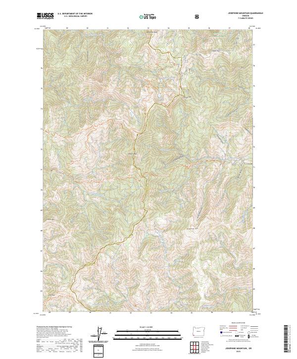
1989 Josephine Mountain
Josephine County, OR
1989 Mount Peavine
Josephine County, OR
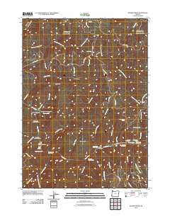
1989 Mount Reuben
Josephine County, OR
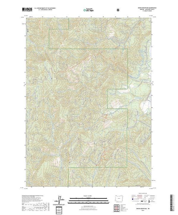
1989 Onion Mountain
Josephine County, OR

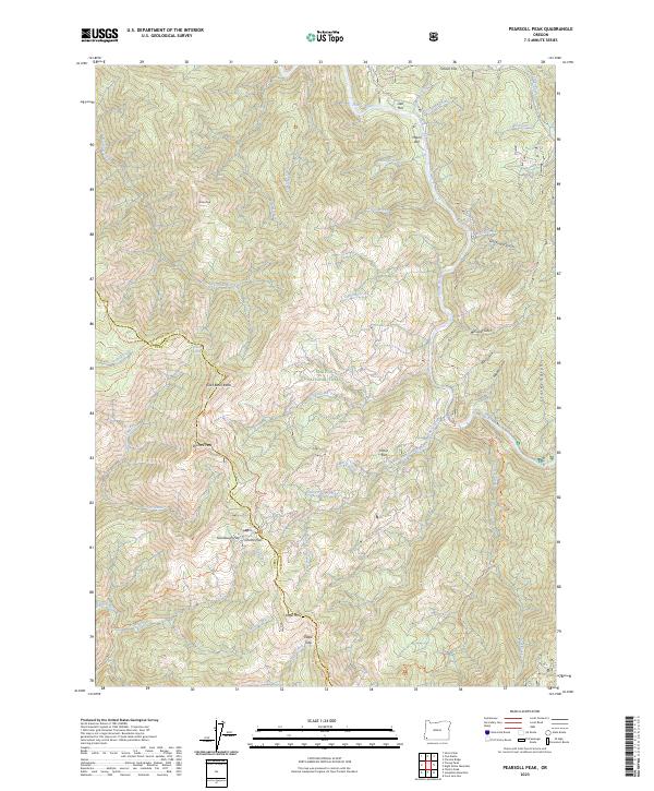
1989 Pearsoll Peak
Josephine County, OR
1989 Silver Peak
Josephine County, OR
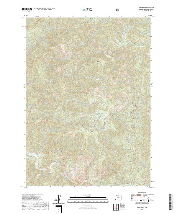
1989 York Butte
Josephine County, OR

1996 Buckskin Peak
Josephine County, OR
1996 Chrome Ridge
Josephine County, OR
1996 Eight Dollar Mountain
Josephine County, OR
1996 Golden
Josephine County, OR
1996 Grayback Mountain
Josephine County, OR
1996 Holland
Josephine County, OR
1996 Kerby Peak
Josephine County, OR
1996 Murphy
Josephine County, OR
1996 Murphy Mountain
Josephine County, OR
1996 Onion Mountain
Josephine County, OR
1996 Oregon Caves
Josephine County, OR
1996 Sexton Mountain
Josephine County, OR
1996 Wilderville
Josephine County, OR
1998 Bunker Creek
Josephine County, OR
1998 Galice
Josephine County, OR
1998 Hobson Horn
Josephine County, OR
1998 Josephine Mountain
Josephine County, OR
1998 Mount Peavine
Josephine County, OR
1998 Mount Reuben
Josephine County, OR
1998 Pearsoll Peak
Josephine County, OR
1998 Silver Peak
Josephine County, OR
1998 York Butte
Josephine County, OR
2011 Buckskin Peak
Josephine County, OR
2011 Bunker Creek
Josephine County, OR
2011 Chrome Ridge
Josephine County, OR
2011 Eight Dollar Mountain
Josephine County, OR
2011 Galice
Josephine County, OR
2011 Golden
Josephine County, OR
2011 Grayback Mountain
Josephine County, OR
2011 Hobson Horn
Josephine County, OR
2011 Holland
Josephine County, OR
2011 Josephine Mountain
Josephine County, OR
2011 Kerby Peak
Josephine County, OR
2011 Mount Peavine
Josephine County, OR
2011 Mount Reuben
Josephine County, OR

2011 Murphy
Josephine County, OR
2011 Murphy Mountain
Josephine County, OR
2011 Onion Mountain
Josephine County, OR
2011 Oregon Caves
Josephine County, OR
2011 Pearsoll Peak
Josephine County, OR
2011 Sexton Mountain
Josephine County, OR
2011 Silver Peak
Josephine County, OR
2011 Wilderville
Josephine County, OR
2011 York Butte
Josephine County, OR
2014 Buckskin Peak
Josephine County, OR
2014 Bunker Creek
Josephine County, OR
2014 Chrome Ridge
Josephine County, OR
2014 Eight Dollar Mountain
Josephine County, OR
2014 Galice
Josephine County, OR
2014 Golden
Josephine County, OR
2014 Grayback Mountain
Josephine County, OR
2014 Hobson Horn
Josephine County, OR
2014 Holland
Josephine County, OR
2014 Josephine Mountain
Josephine County, OR
2014 Kerby Peak
Josephine County, OR
2014 Mount Peavine
Josephine County, OR

2014 Mount Reuben
Josephine County, OR
2014 Murphy
Josephine County, OR
2014 Murphy Mountain
Josephine County, OR
2014 Onion Mountain
Josephine County, OR
2014 Oregon Caves
Josephine County, OR

2014 Pearsoll Peak
Josephine County, OR
2014 Sexton Mountain
Josephine County, OR
2014 Silver Peak
Josephine County, OR
2014 Wilderville
Josephine County, OR
2014 York Butte
Josephine County, OR
2017 Buckskin Peak
Josephine County, OR
2017 Bunker Creek
Josephine County, OR

2017 Chrome Ridge
Josephine County, OR
2017 Eight Dollar Mountain
Josephine County, OR
2017 Galice
Josephine County, OR

2017 Golden
Josephine County, OR
2017 Grayback Mountain
Josephine County, OR
2017 Hobson Horn
Josephine County, OR
2017 Holland
Josephine County, OR
2017 Josephine Mountain
Josephine County, OR
2017 Kerby Peak
Josephine County, OR
2017 Mount Peavine
Josephine County, OR
2017 Mount Reuben
Josephine County, OR
2017 Murphy
Josephine County, OR
2017 Murphy Mountain
Josephine County, OR
2017 Onion Mountain
Josephine County, OR
2017 Oregon Caves
Josephine County, OR
2017 Pearsoll Peak
Josephine County, OR
2017 Sexton Mountain
Josephine County, OR
2017 Silver Peak
Josephine County, OR
2017 Wilderville
Josephine County, OR
2017 York Butte
Josephine County, OR
2020 Buckskin Peak
Josephine County, OR
2020 Bunker Creek
Josephine County, OR
2020 Chrome Ridge
Josephine County, OR
2020 Eight Dollar Mountain
Josephine County, OR
2020 Galice
Josephine County, OR
2020 Golden
Josephine County, OR
2020 Grayback Mountain
Josephine County, OR
2020 Hobson Horn
Josephine County, OR
2020 Holland
Josephine County, OR
2020 Josephine Mountain
Josephine County, OR
2020 Kerby Peak
Josephine County, OR
2020 Mount Peavine
Josephine County, OR
2020 Mount Reuben
Josephine County, OR
2020 Murphy
Josephine County, OR
2020 Murphy Mountain
Josephine County, OR
2020 Onion Mountain
Josephine County, OR
2020 Oregon Caves
Josephine County, OR
2020 Pearsoll Peak
Josephine County, OR
2020 Sexton Mountain
Josephine County, OR
2020 Silver Peak
Josephine County, OR
2020 Wilderville
Josephine County, OR
2020 York Butte
Josephine County, OR
2023 Buckskin Peak
Josephine County, OR
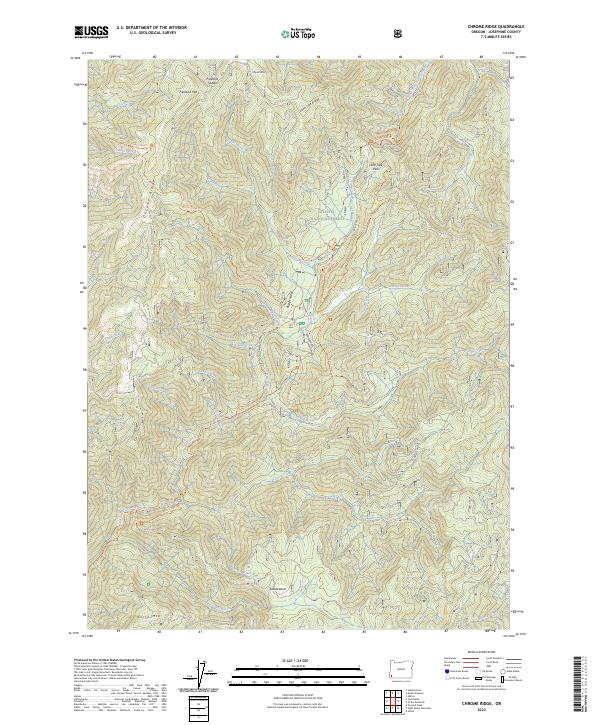
2023 Chrome Ridge
Josephine County, OR
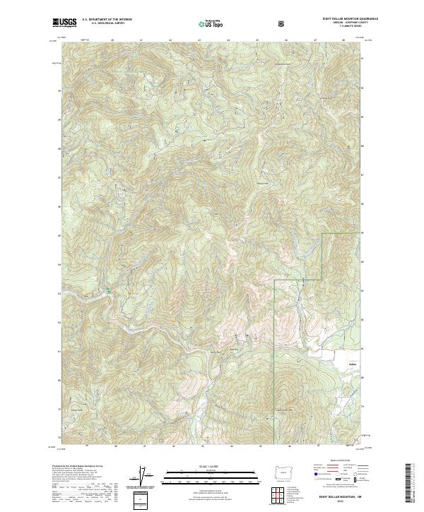
2023 Eight Dollar Mountain
Josephine County, OR
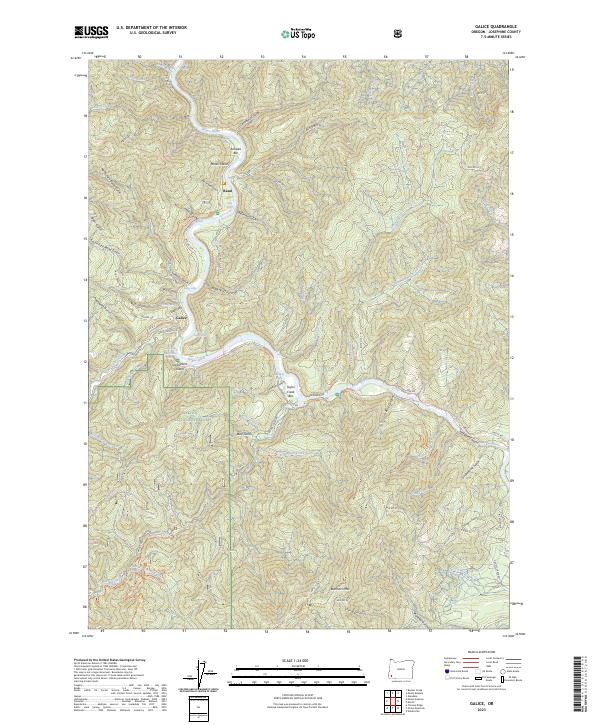
2023 Galice
Josephine County, OR
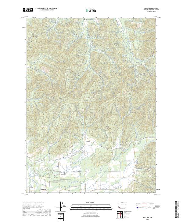
2023 Holland
Josephine County, OR
2023 Josephine Mountain
Josephine County, OR
2023 Kerby Peak
Josephine County, OR
2023 Mount Reuben
Josephine County, OR
2023 Murphy
Josephine County, OR
2023 Onion Mountain
Josephine County, OR
2023 Oregon Caves
Josephine County, OR
2023 Pearsoll Peak
Josephine County, OR
2023 Sexton Mountain
Josephine County, OR
2023 Wilderville
Josephine County, OR
2023 York Butte
Josephine County, OR
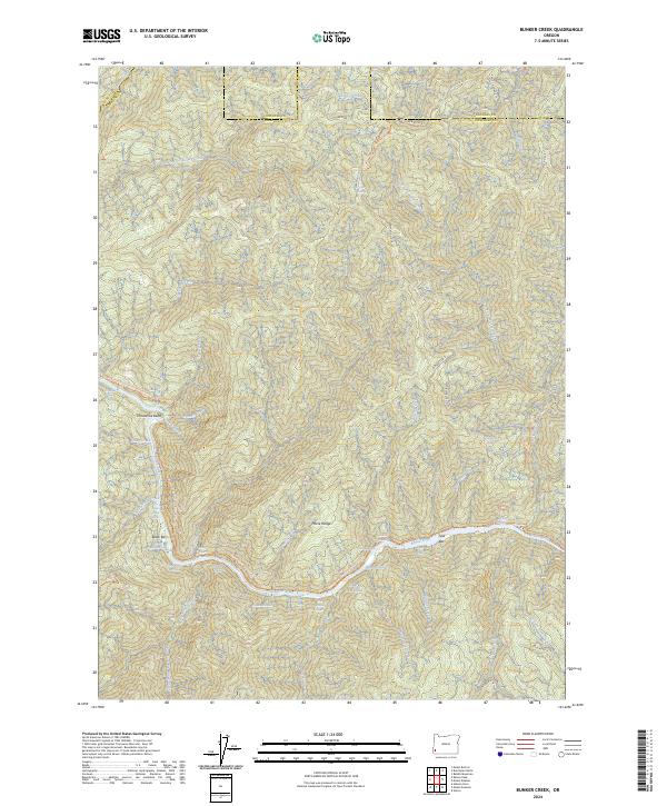
2024 Bunker Creek
Josephine County, OR
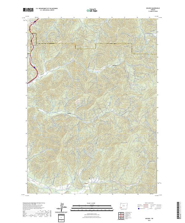
2024 Golden
Josephine County, OR
2024 Grayback Mountain
Josephine County, OR
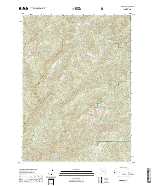
2024 Hobson Horn
Josephine County, OR
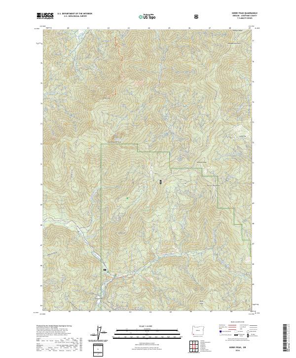
2024 Kerby Peak
Josephine County, OR
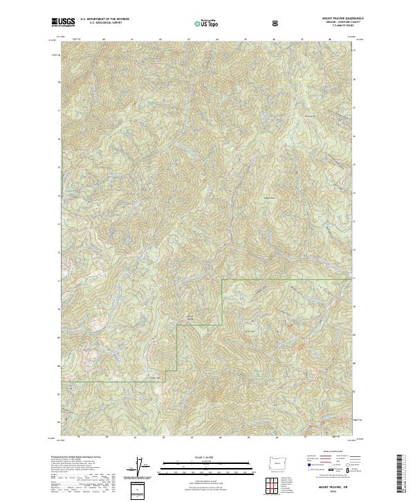
2024 Mount Peavine
Josephine County, OR
2024 Murphy Mountain
Josephine County, OR
2024 Silver Peak
Josephine County, OR