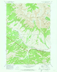
1970 Map of Easley Hot Springs
USGS Topo · Published 1973About this map
Easley Hot Springs and the surrounding high country of the Sawtooth National Forest are documented here just as the Sawtooth National Recreation Area was coming into being. The landscape is defined by the headwaters of the Big Wood River and the steep slopes of the Boulder Mountains, which separate Blaine and Custer counties. Historically significant locations such as the Russian John Guard Station and the Boulder (Site) in the high basin reflect a transition from early mining and forest management toward the region's mid-century identity as a recreational destination. The map details a network of jeep and pack trails reaching into alpine basins like Boulder Lakes and Window Lake, while more accessible sites like the Baker Creek Picnic Area and Cathedral Pines line the river corridor. Evidence of earlier industry persists in the form of a Mine Dump and Prospect near Crown Point.
Find a feature on this map
51 named features on this map. Tap any name to fly to it.
Don’t see what you’re looking for? This feature index may not catch every label — zoom into the map to look around manually.
Map Details
Editions of this 1970 Easley Hot Springs Map
3 editions found
Other maps of this area

1895 · Hailey
USGS Topo · 1:125,000

1897 · Hailey
USGS Topo · 1:125,000

1900 · Sawtooth
USGS Topo · 1:125,000

1955 · Hailey
USGS Topo · 1:250,000

1959 · Hailey
USGS Topo · 1:250,000

1962 · Hailey
USGS Topo · 1:250,000
1967 · Griffin Butte
USGS Topo · 1:24,000
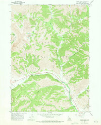
1967 · Amber Lakes
USGS Topo · 1:24,000
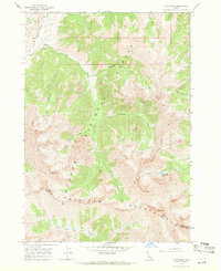
1967 · Ryan Peak
USGS Topo · 1:24,000
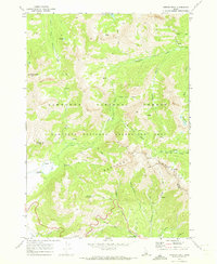
1970 · Horton Peak
USGS Topo · 1:24,000