
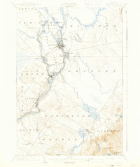
1902 Map of Orono
USGS Topo · Published 1902About this map
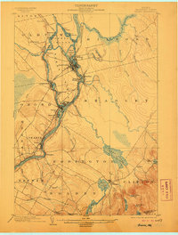
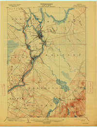
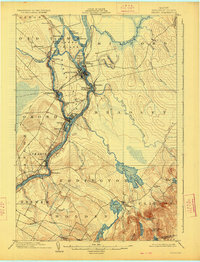
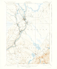
Indian Island and Marsh Island sit at the center of this industrial and educational landscape along the Penobscot River. At the turn of the century, the river's power supported a dense corridor of settlements including Oldtown, Great Works, and Basin Mills, while the University at Orono established the area's academic footprint. The map documents an intricate transportation network where the Bangor and Aroostook RR and Maine Central RR intersect with an Electric RR and a dedicated Bicycle Path leading toward Bangor. Beyond the river-bound commerce, the terrain transitions into a rugged interior of ponds and streams, such as Chemo Pond and Sunkhaze Stream, reflecting the diverse water resources that defined Penobscot County's early development and leisure.
Find a feature on this map
62 named features on this map. Tap any name to fly to it.
Don’t see what you’re looking for? This feature index may not catch every label — zoom into the map to look around manually.
Map Details
Editions of this 1902 Orono Map
6 editions found
Other maps of this area

1900 · Orland
USGS Topo · 1:62,500

1900 · Bucksport
USGS Topo · 1:62,500

1902 · Bucksport
USGS Topo · 1:62,500

1902 · Bangor
USGS Topo · 1:62,500

1911 · Ellsworth
USGS Topo · 1:62,500

1917 · Passadumkeag
USGS Topo · 1:62,500

1929 · Great Pond
USGS Topo · 1:48,000

1931 · Saponac
USGS Topo · 1:48,000

1932 · Great Pond
USGS Topo · 1:62,500

1933 · Boyd Lake
USGS Topo · 1:62,500