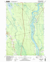
1988 Map of Greenbush
USGS Topo · Published 1988About this map
The Penobscot River dominates this landscape, branching into a complex network of channels and named islands including Sugar Island, White Squaw Island, and Olamon Island. This 1980s revision reflects the late-century rural character of Penobscot County, where small riverside communities like Argyle and Greenbush are connected by narrow roads following the water's edge. The geography is defined by its low-lying hydrology, from the expansive Alton Bog in the southwest to the winding paths of Birch Stream and Hemlock Stream. Local history and genealogy interest is anchored by several small burial grounds such as Hoyt Brook Cem, Hemlock Cem, and Cedarvale Cem. The map also documents the area's resource-based economy through the presence of several Gravel Pits and the Pumping Sta near the Corporate Boundary Old Town, illustrating the infrastructure supporting these North Woods settlements.
Find a feature on this map
49 named features on this map. Tap any name to fly to it.
Don’t see what you’re looking for? This feature index may not catch every label — zoom into the map to look around manually.
Map Details
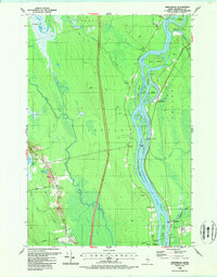
Editions of this 1988 Greenbush Map
2 editions found
Other maps of this area

1902 · Orono
USGS Topo · 1:62,500

1902 · Bangor
USGS Topo · 1:62,500

1917 · Passadumkeag
USGS Topo · 1:62,500

1933 · Boyd Lake
USGS Topo · 1:62,500

1942 · Bangor
USGS Topo · 1:62,500

1944 · Orono
USGS Topo · 1:62,500

1946 · Bangor
USGS Topo · 1:62,500

1946 · Orono
USGS Topo · 1:62,500

1948 · Bangor
USGS Topo · 1:250,000

1951 · Boyd Lake
USGS Topo · 1:50,000