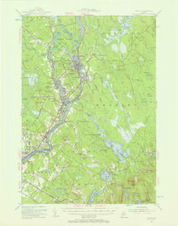
1955 Map of Orono
USGS Topo · Published 1957About this map
Indian Island and the Penobscot Indian Reservation sit at the heart of this mid-century landscape, where the Penobscot River and Stillwater River define the industrial and academic character of the region. The map documents the extensive grounds of the University of Maine and the University Forest, alongside the river-driven industry at Great Works and Basin Mills. Beyond the collegiate and industrial centers of Orono and Old Town, the topography shifts into the expansive wetlands of Caribou Bog and Sunkhaze Meadows. To the east, the landscape becomes increasingly wooded and dotted with water bodies like Chemo Pond and Davis Pond. Local history is preserved through scattered rural outposts such as French Settlement, Clewleyville Corners, and the remote John Baker Camp, while the Maine Central RR provides the primary transit link through the river valley.
Find a feature on this map
105 named features on this map. Tap any name to fly to it.
Don’t see what you’re looking for? This feature index may not catch every label — zoom into the map to look around manually.
Map Details
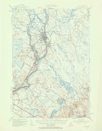
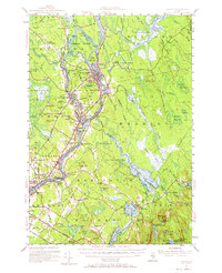
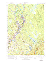
Editions of this 1955 Orono Map
4 editions found
Other maps of this area

1900 · Orland
USGS Topo · 1:62,500

1900 · Bucksport
USGS Topo · 1:62,500

1902 · Orono
USGS Topo · 1:62,500

1902 · Bucksport
USGS Topo · 1:62,500

1902 · Bangor
USGS Topo · 1:62,500

1911 · Ellsworth
USGS Topo · 1:62,500

1917 · Passadumkeag
USGS Topo · 1:62,500

1929 · Great Pond
USGS Topo · 1:48,000

1931 · Saponac
USGS Topo · 1:48,000

1932 · Great Pond
USGS Topo · 1:62,500