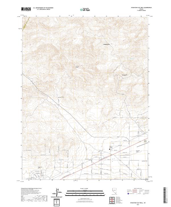
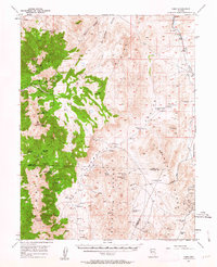
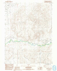
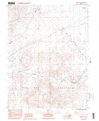
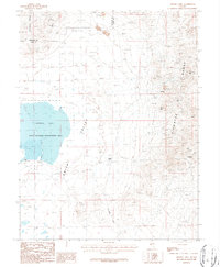
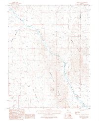
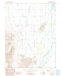
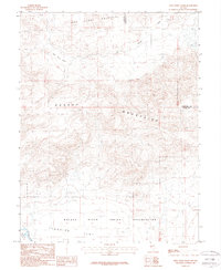
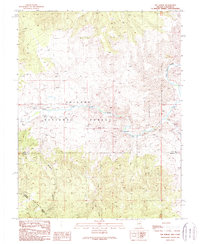
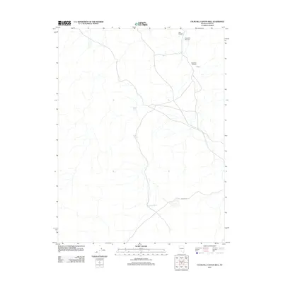
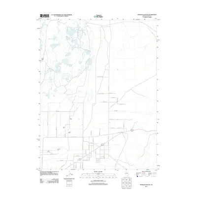
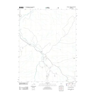
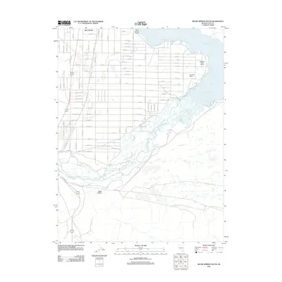
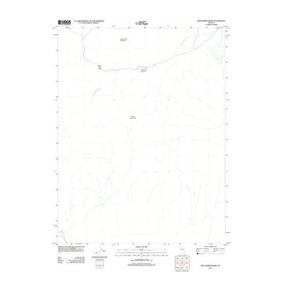
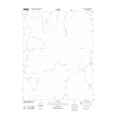
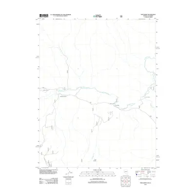
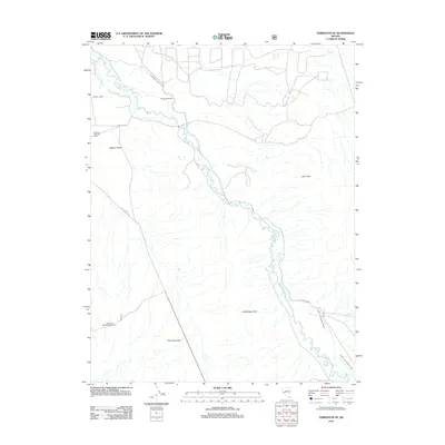
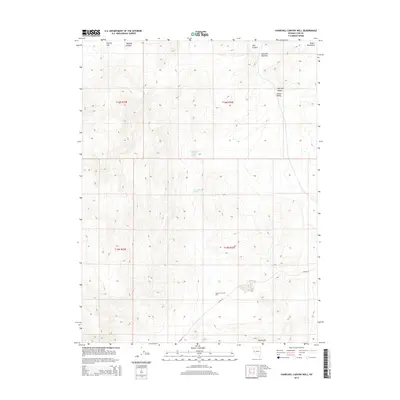
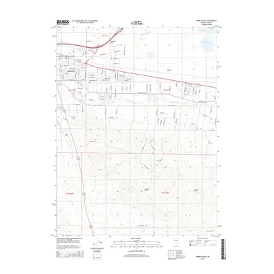
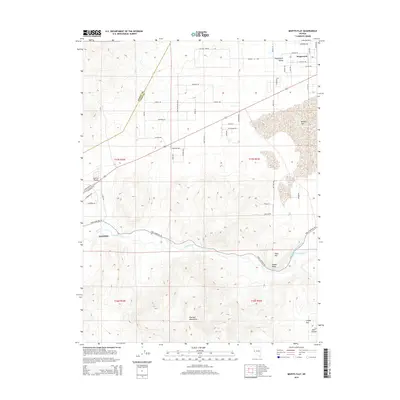
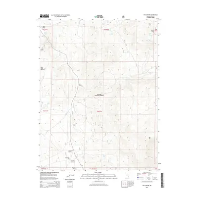
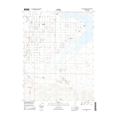
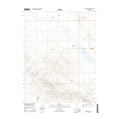
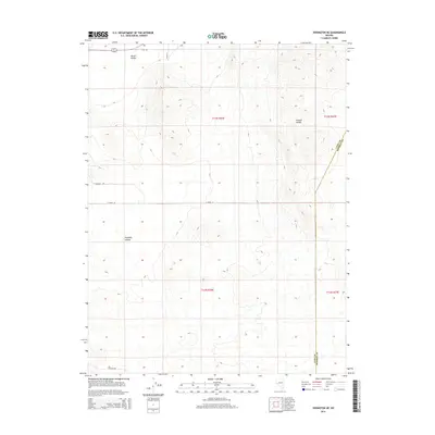
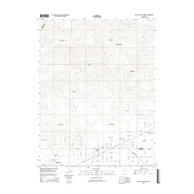
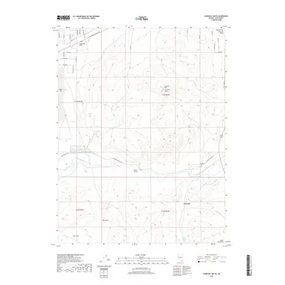
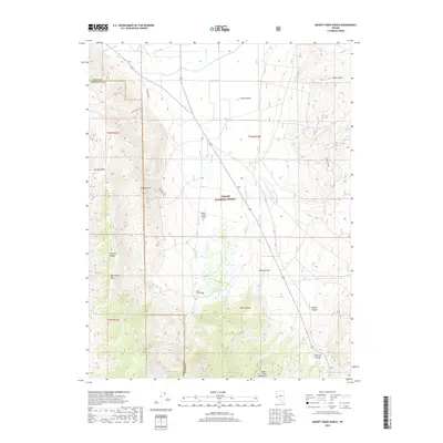
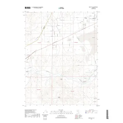
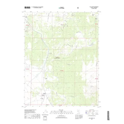
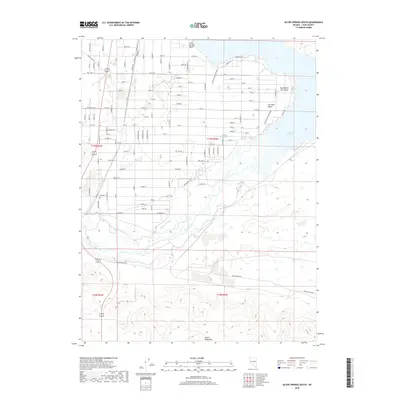
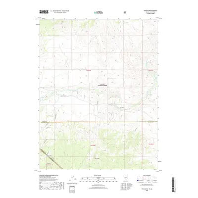
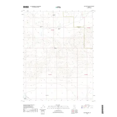
2021 Map of Stockton Flat Well
USGS Topo · Published 2021About this map
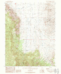
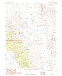
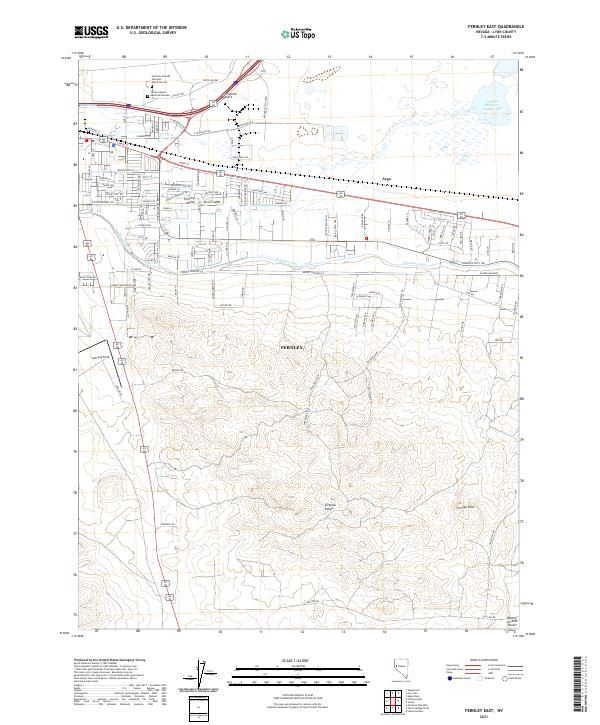
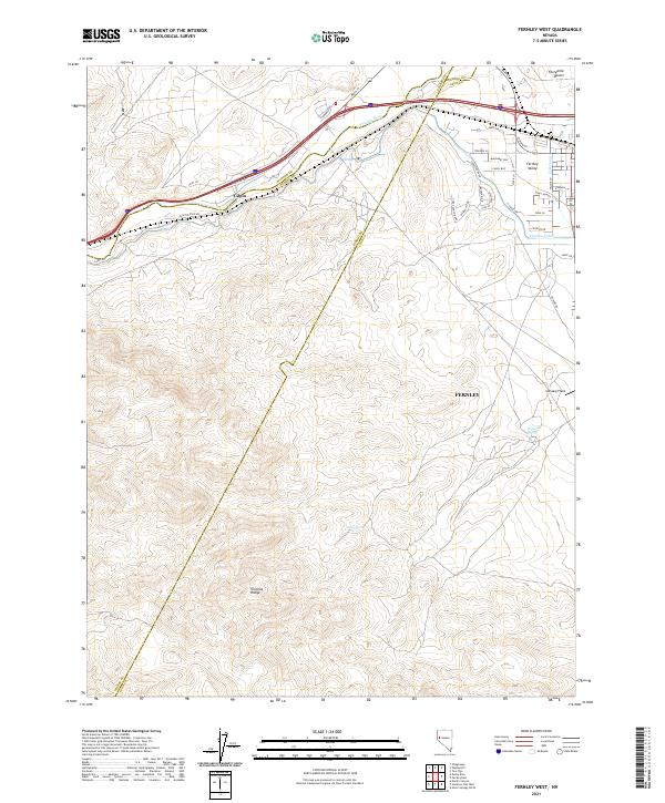
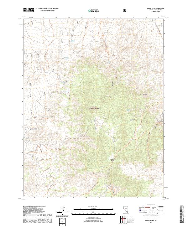
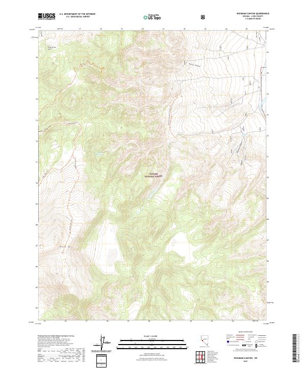
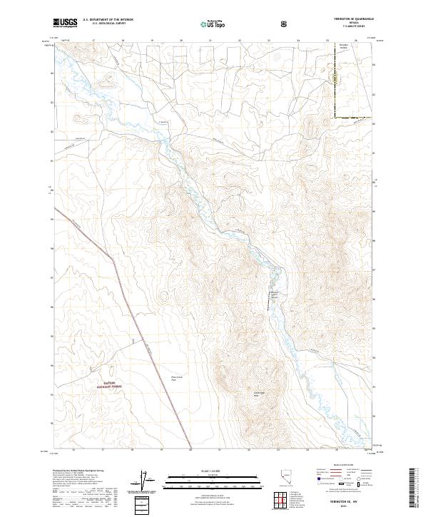
Talapoosa and the surrounding high desert of the Virginia Range define the landscape in this portion of western Nevada. The map documents the transition from the upland mining and range areas of the north down to the developing valley floors. Settlement patterns are concentrated in the southern reaches, where the residential grids of Stockton Flat and the broader Stagecoach Valley meet the established infrastructure of the California Emigrant Trl.
Find a feature on this map
47 named features on this map. Tap any name to fly to it.
Don’t see what you’re looking for? This feature index may not catch every label — zoom into the map to look around manually.
Map Details
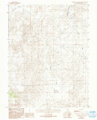
Editions of this 2021 Stockton Flat Well Map
This is the sole edition of this map. No revisions or reprints were ever made.
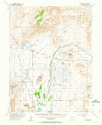
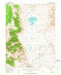
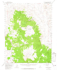
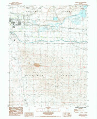
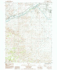
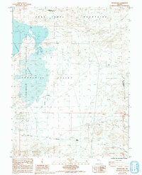
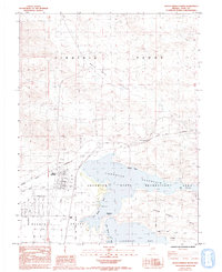
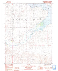
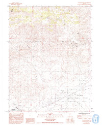
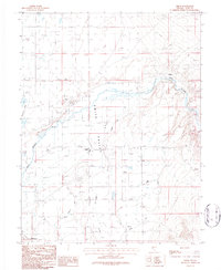
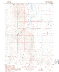
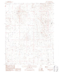
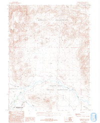
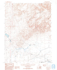
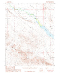
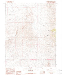
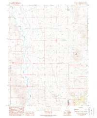
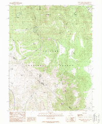
Historical Maps of Fernley Through Time
179 maps found

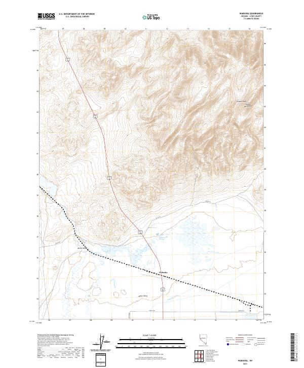
1891 Wabuska
Lyon County, NV
1894 Wabuska
Lyon County, NV
1951 Weber Reservoir
Lyon County, NV
1957 Churchill Butte
Lyon County, NV
1957 Como
Lyon County, NV
1957 Wabuska
Lyon County, NV
1957 Wellington
Lyon County, NV
1958 Pine Grove Hills
Lyon County, NV

1979 Carson City
Lyon County, NV
1985 Churchill Butte
Lyon County, NV
1985 Fernley East
Lyon County, NV
1985 Fernley West
Lyon County, NV
1985 Hooten Well
Lyon County, NV
1985 Misfits Flat
Lyon County, NV
1985 Silver Springs North
Lyon County, NV
1985 Silver Springs South
Lyon County, NV
1985 Stockton Well
Lyon County, NV
1986 Artesia Lake
Lyon County, NV
1986 Smith
Lyon County, NV
1986 Wilson Canyon
Lyon County, NV
1986 Yerington NE
Lyon County, NV
1986 Yerington SE
Lyon County, NV
1987 Churchill Canyon Well
Lyon County, NV
1987 Como
Lyon County, NV
1987 Hinkson Slough
Lyon County, NV
1987 Mason Butte
Lyon County, NV
1987 Parker Butte
Lyon County, NV
1987 Wabuska
Lyon County, NV
1987 Weber Reservoir
Lyon County, NV
1987 Wild Horse Basin
Lyon County, NV
1988 Buck Brush Spring
Lyon County, NV
1988 Butler Mountain
Lyon County, NV
1988 Desert Creek Peak
Lyon County, NV
1988 Desert Creek Ranch
Lyon County, NV
1988 Lincoln Flat
Lyon County, NV
1988 Mount Etna
Lyon County, NV
1988 Nye Canyon
Lyon County, NV
1988 Pine Grove Spring
Lyon County, NV
1988 Wichman Canyon
Lyon County, NV
1989 Mitchell Spring
Lyon County, NV
1989 Sweetwater Creek
Lyon County, NV
1989 The Elbow
Lyon County, NV
2011 Buckbrush Spring
Lyon County, NV
2011 Butler Mountain
Lyon County, NV
2011 Churchill Butte
Lyon County, NV
2011 Churchill Canyon Well
Lyon County, NV
2011 Como
Lyon County, NV
2011 Fernley East
Lyon County, NV
2011 Fernley West
Lyon County, NV
2011 Hinkson Slough
Lyon County, NV
2011 Hooten Well
Lyon County, NV
2011 Lincoln Flat
Lyon County, NV

2011 Mason Butte
Lyon County, NV
2011 Misfits Flat
Lyon County, NV
2011 Mitchell Spring
Lyon County, NV
2011 Ninemile Ranch
Lyon County, NV
2011 Parker Butte
Lyon County, NV
2011 Silver Springs North
Lyon County, NV
2011 Silver Springs South
Lyon County, NV
2011 Stockton Flat Well
Lyon County, NV
2011 Wabuska
Lyon County, NV
2011 Weber Reservoir
Lyon County, NV
2011 Wild Horse Basin
Lyon County, NV
2012 Artesia Lake
Lyon County, NV
2012 Desert Creek Peak
Lyon County, NV
2012 Desert Creek Ranch
Lyon County, NV
2012 Mount Etna
Lyon County, NV

2012 Nye Canyon
Lyon County, NV
2012 Pine Grove Spring
Lyon County, NV
2012 Smith
Lyon County, NV
2012 Sweetwater Creek
Lyon County, NV
2012 The Elbow
Lyon County, NV
2012 Wichman Canyon
Lyon County, NV
2012 Wilson Canyon
Lyon County, NV
2012 Yerington NE
Lyon County, NV
2012 Yerington SE
Lyon County, NV
2014 Artesia Lake
Lyon County, NV
2014 Buckbrush Spring
Lyon County, NV
2014 Butler Mountain
Lyon County, NV
2014 Churchill Canyon Well
Lyon County, NV
2014 Como
Lyon County, NV
2014 Desert Creek Peak
Lyon County, NV
2014 Desert Creek Ranch
Lyon County, NV
2014 Fernley East
Lyon County, NV

2014 Fernley West
Lyon County, NV
2014 Hinkson Slough
Lyon County, NV
2014 Lincoln Flat
Lyon County, NV
2014 Mason Butte
Lyon County, NV
2014 Misfits Flat
Lyon County, NV
2014 Mitchell Spring
Lyon County, NV
2014 Mount Etna
Lyon County, NV
2014 Ninemile Ranch
Lyon County, NV
2014 Nye Canyon
Lyon County, NV
2014 Parker Butte
Lyon County, NV
2014 Pine Grove Spring
Lyon County, NV
2014 Silver Springs North
Lyon County, NV
2014 Silver Springs South
Lyon County, NV
2014 Smith
Lyon County, NV
2014 Sweetwater Creek
Lyon County, NV

2014 The Elbow
Lyon County, NV
2014 Wabuska
Lyon County, NV
2014 Weber Reservoir
Lyon County, NV
2014 Wichman Canyon
Lyon County, NV
2014 Wild Horse Basin
Lyon County, NV
2014 Wilson Canyon
Lyon County, NV
2014 Yerington NE
Lyon County, NV
2014 Yerington SE
Lyon County, NV
2015 Churchill Butte
Lyon County, NV
2015 Hooten Well
Lyon County, NV
2015 Stockton Flat Well
Lyon County, NV
2018 Artesia Lake
Lyon County, NV
2018 Buckbrush Spring
Lyon County, NV
2018 Butler Mountain
Lyon County, NV
2018 Churchill Butte
Lyon County, NV
2018 Churchill Canyon Well
Lyon County, NV
2018 Como
Lyon County, NV
2018 Desert Creek Peak
Lyon County, NV
2018 Desert Creek Ranch
Lyon County, NV

2018 Fernley East
Lyon County, NV
2018 Fernley West
Lyon County, NV
2018 Hinkson Slough
Lyon County, NV
2018 Hooten Well
Lyon County, NV

2018 Lincoln Flat
Lyon County, NV

2018 Mason Butte
Lyon County, NV
2018 Misfits Flat
Lyon County, NV
2018 Mitchell Spring
Lyon County, NV
2018 Mount Etna
Lyon County, NV
2018 Ninemile Ranch
Lyon County, NV
2018 Nye Canyon
Lyon County, NV
2018 Parker Butte
Lyon County, NV
2018 Pine Grove Spring
Lyon County, NV
2018 Silver Springs North
Lyon County, NV
2018 Silver Springs South
Lyon County, NV
2018 Smith
Lyon County, NV
2018 Stockton Flat Well
Lyon County, NV
2018 Sweetwater Creek
Lyon County, NV
2018 The Elbow
Lyon County, NV
2018 Wabuska
Lyon County, NV
2018 Weber Reservoir
Lyon County, NV
2018 Wichman Canyon
Lyon County, NV
2018 Wild Horse Basin
Lyon County, NV
2018 Wilson Canyon
Lyon County, NV
2018 Yerington NE
Lyon County, NV
2018 Yerington SE
Lyon County, NV
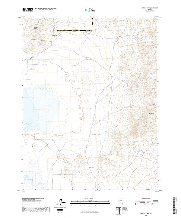
2021 Artesia Lake
Lyon County, NV
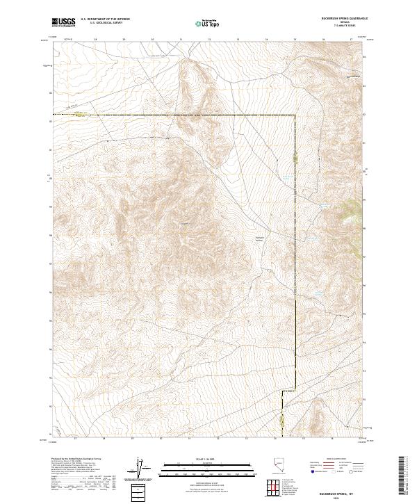
2021 Buckbrush Spring
Lyon County, NV
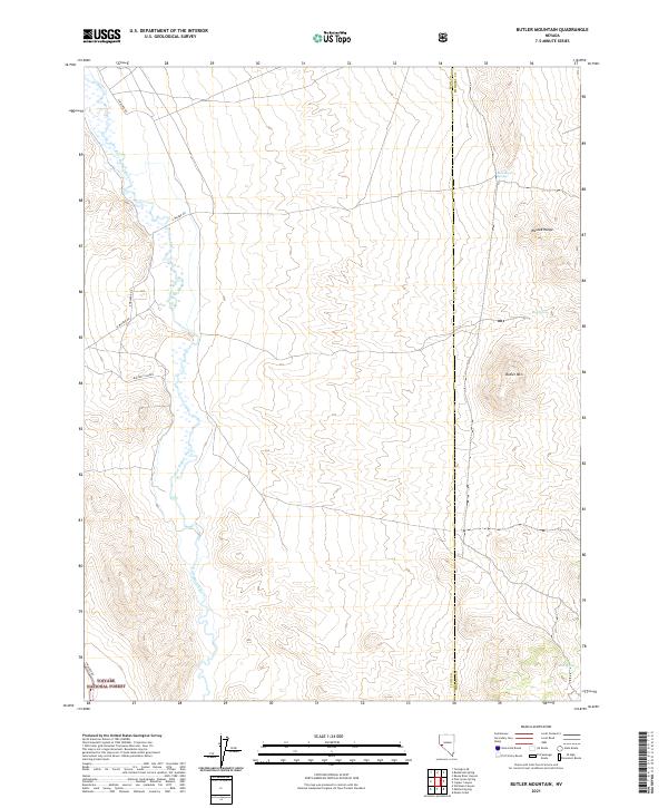
2021 Butler Mountain
Lyon County, NV
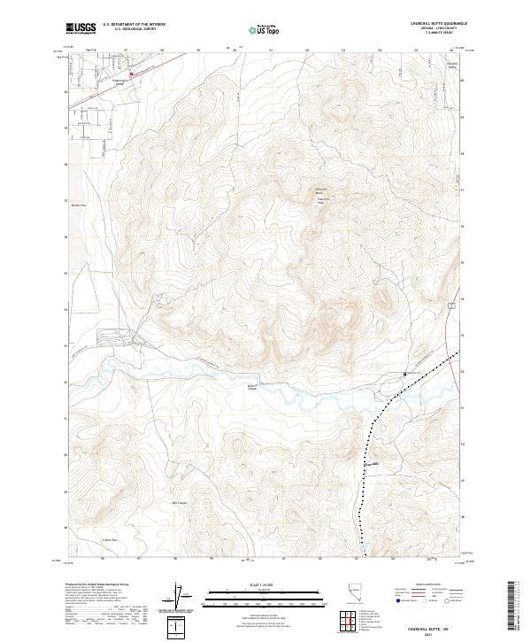
2021 Churchill Butte
Lyon County, NV
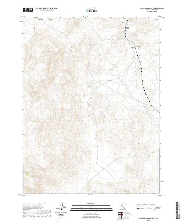
2021 Churchill Canyon Well
Lyon County, NV
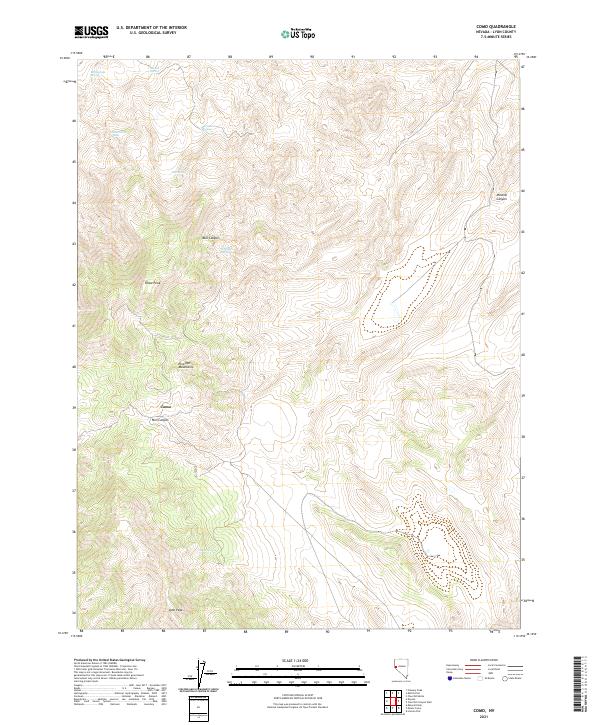
2021 Como
Lyon County, NV
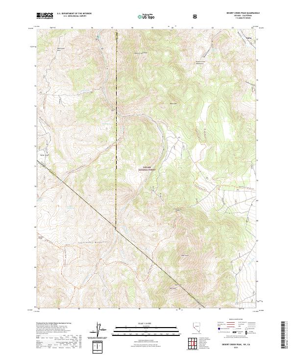
2021 Desert Creek Peak
Lyon County, NV
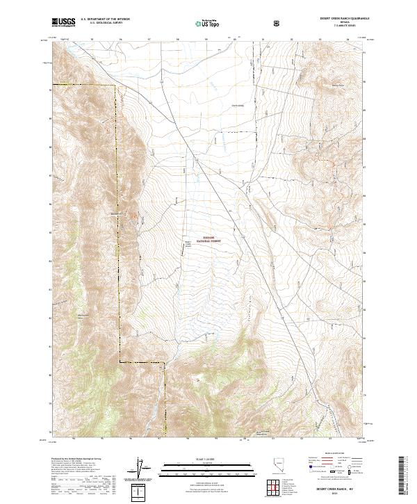
2021 Desert Creek Ranch
Lyon County, NV
2021 Fernley East
Lyon County, NV
2021 Fernley West
Lyon County, NV
2021 Hinkson Slough
Lyon County, NV
2021 Hooten Well
Lyon County, NV
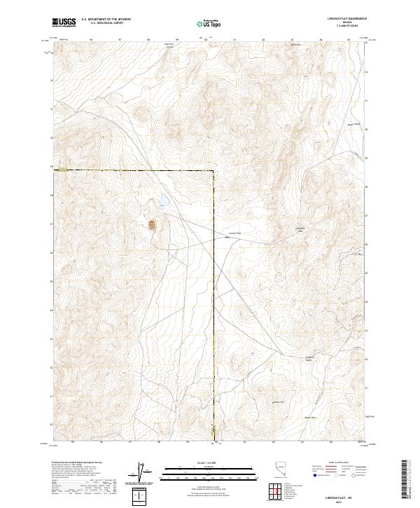
2021 Lincoln Flat
Lyon County, NV
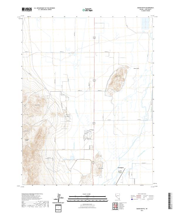
2021 Mason Butte
Lyon County, NV
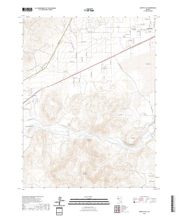
2021 Misfits Flat
Lyon County, NV
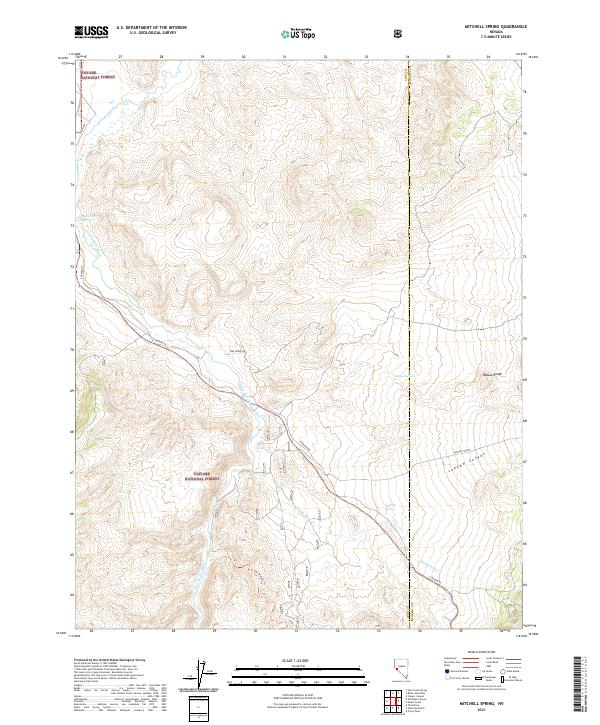
2021 Mitchell Spring
Lyon County, NV
2021 Mount Etna
Lyon County, NV
2021 Ninemile Ranch
Lyon County, NV
2021 Nye Canyon
Lyon County, NV
2021 Parker Butte
Lyon County, NV
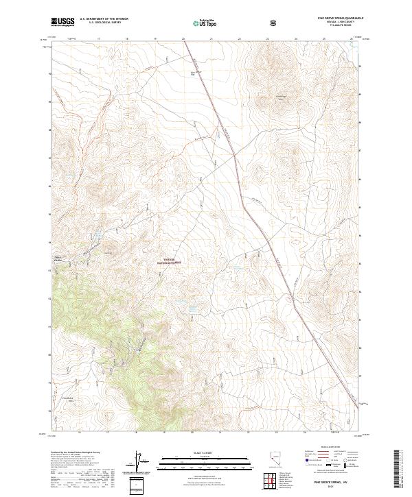
2021 Pine Grove Spring
Lyon County, NV
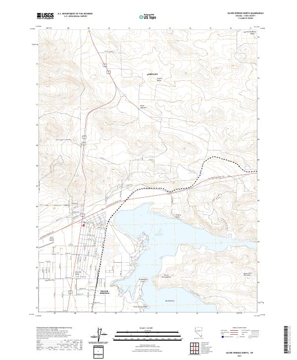
2021 Silver Springs North
Lyon County, NV
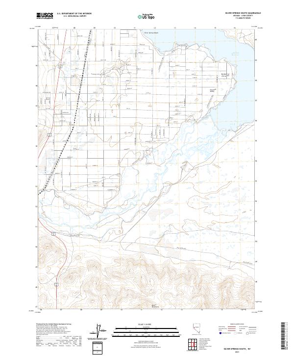
2021 Silver Springs South
Lyon County, NV
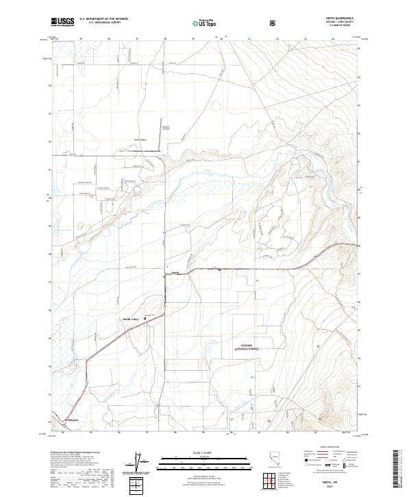
2021 Smith
Lyon County, NV
2021 Stockton Flat Well
Lyon County, NV
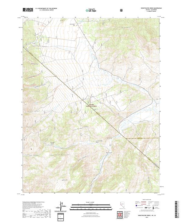
2021 Sweetwater Creek
Lyon County, NV
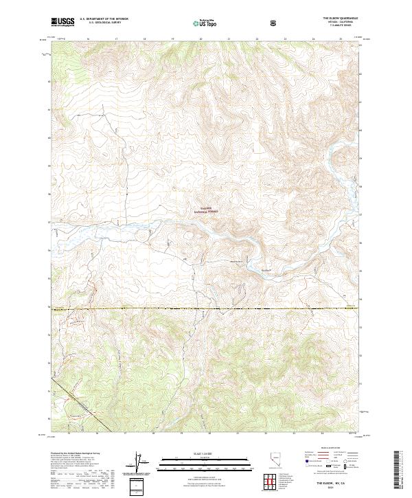
2021 The Elbow
Lyon County, NV
2021 Wabuska
Lyon County, NV
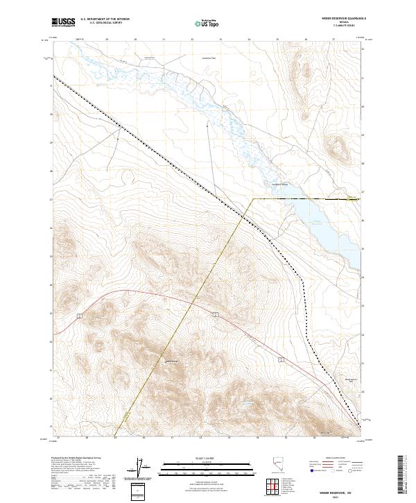
2021 Weber Reservoir
Lyon County, NV
2021 Wichman Canyon
Lyon County, NV
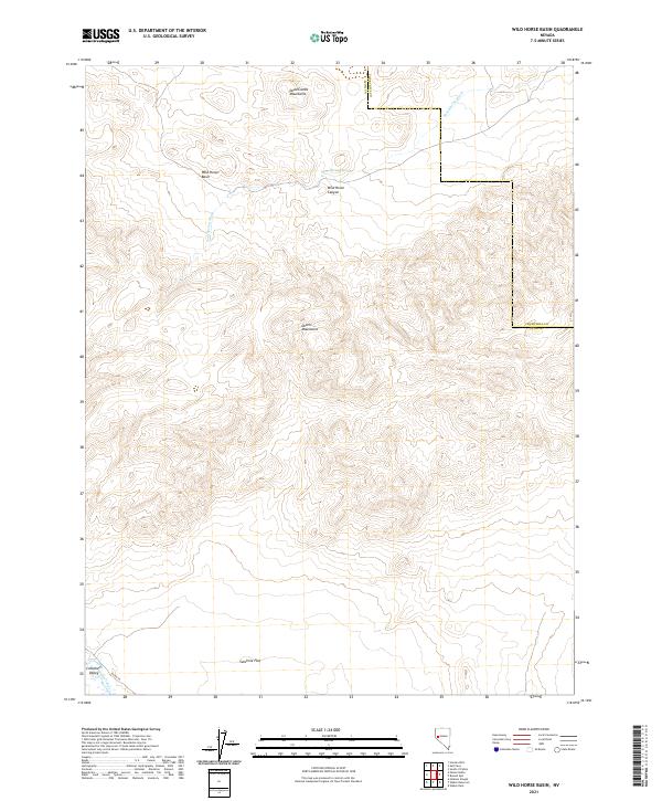
2021 Wild Horse Basin
Lyon County, NV
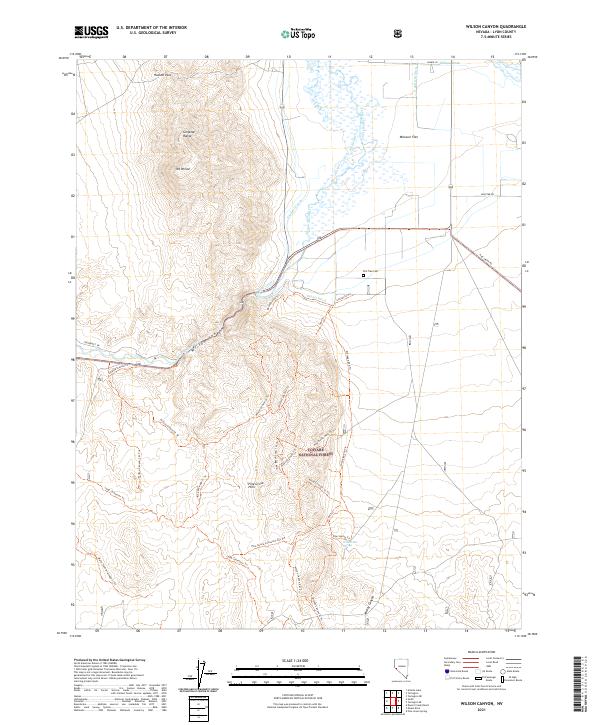
2021 Wilson Canyon
Lyon County, NV
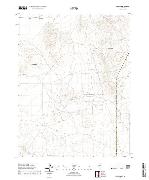
2021 Yerington NE
Lyon County, NV
2021 Yerington SE
Lyon County, NV
2023 Ninemile Ranch
Lyon County, NV