
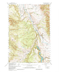
1950 Map of Cliff Lake
USGS Topo · Published 1953About this map
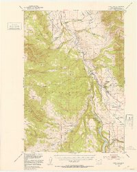
Wolf Creek Ranch and Sun Ranch anchor the northern reaches of this mid-century livestock and recreation landscape. The area is defined by the high elevations of Granite Mountain and the Horn Mtns, where the economy shifted from seasonal grazing at sites like Miller Cow Camp and Shackelford Cow Camp toward a burgeoning tourism industry. Establishments such as Snowball Inn, Madison River Lodge, and Elliots Resort reflect the postwar era's focus on the outdoors, particularly around the shores of Cliff Lake and the Madison River. Surveyed as part of the Department of the Interior's Missouri River Basin development program, this map captures the remote character of Madison Co. before modern expansion, showing a network of named lodges and ranches including Schusters Place and Kirby Ranch that provided base camps for hunters and fishermen within the Beaverhead National Forest.
Find a feature on this map
76 named features on this map. Tap any name to fly to it.
Don’t see what you’re looking for? This feature index may not catch every label — zoom into the map to look around manually.
Map Details
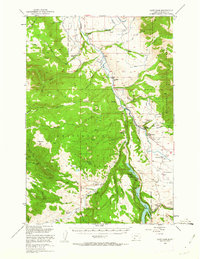
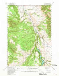
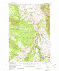
Editions of this 1950 Cliff Lake Map
6 editions found
Other maps of this area

1888 · Three Forks
USGS Topo · 1:250,000

1894 · Three Forks
USGS Topo · 1:250,000

1895 · Three Forks
USGS Topo · 1:250,000

1947 · Bozeman
USGS Topo · 1:250,000

1948 · Bozeman
USGS Topo · 1:250,000

1949 · Varney
USGS Topo · 1:62,500

1950 · Hebgen Dam
USGS Topo · 1:62,500

1950 · Cameron
USGS Topo · 1:62,500

1950 · Sphinx Mountain
USGS Topo · 1:62,500

1950 · Lower Red Rock Lake
USGS Topo · 1:62,500