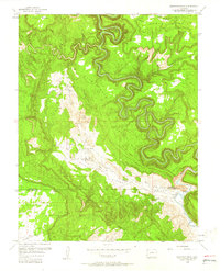
1960 Map of Anderson Mesa
USGS Topo · Published 1961About this map
The Dolores River carves a dramatic serpentine path through this 1960 survey of the Colorado plateau, defining the border between Montrose and San Miguel Counties. The landscape is dominated by high, flat-topped features like Anderson Mesa and Wray Mesa, separated by deep drainage systems such as Coyote Wash and Gypsum Valley. This era of the mid-20th century shows the area as an active mining district, with several small-scale operations including The Raven Mine, Morning Star Mine, and American Eagle Mine clustered around Silveys Pocket. These mines, alongside the Gyp Mine in the southern valley, point to the region's mineral-rich geology and the remote industrial life of the period. Isolated water sources like Skein Spring and Cabin Spring provide the necessary resources for survival in this high-desert environment, while a lone Airstrip suggests the reliance on light aircraft for accessing these distant mesa-top locations.
Find a feature on this map
26 named features on this map. Tap any name to fly to it.
Don’t see what you’re looking for? This feature index may not catch every label — zoom into the map to look around manually.
Map Details
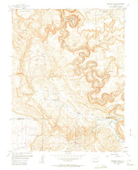
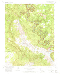
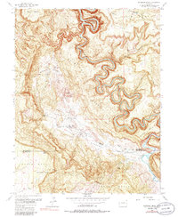
Editions of this 1960 Anderson Mesa Map
4 editions found
Other maps of this area

1885 · La Sal
USGS Topo · 1:250,000

1916 · Paradox Valley
USGS Topo · 1:125,000

1922 · Paradox Valley
USGS Topo · 1:125,000

1948 · Bull Canyon
USGS Topo · 1:24,000

1948 · Horse Range Mesa
USGS Topo · 1:24,000

1948 · Hamm Canyon
USGS Topo · 1:24,000

1948 · Paradox
USGS Topo · 1:24,000

1949 · Bull Canyon
USGS Topo · 1:24,000

1949 · Davis Mesa
USGS Topo · 1:24,000

1949 · Paradox
USGS Topo · 1:24,000