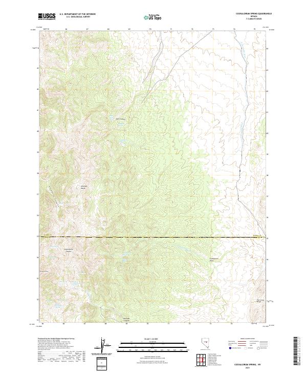
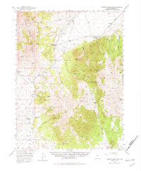
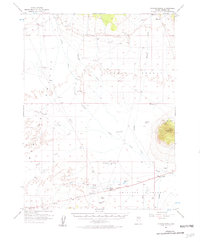
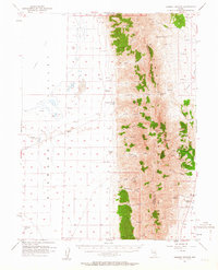
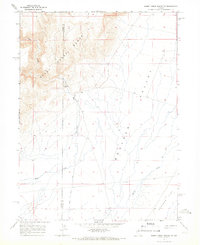
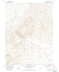
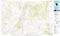
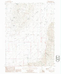
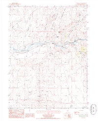
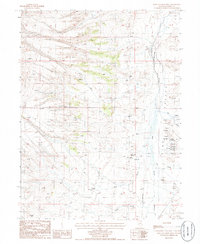
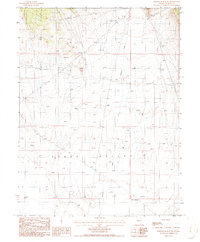
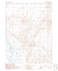
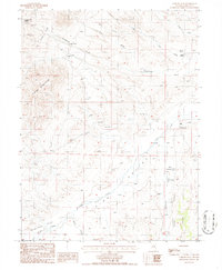
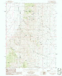
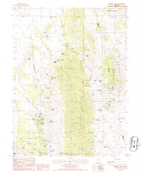
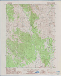
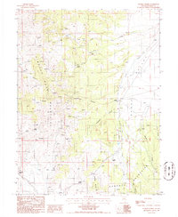
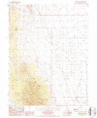
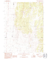
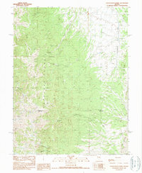
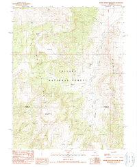
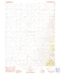
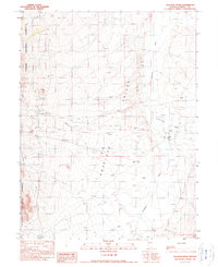
2021 Map of Cockalorum Spring
USGS Topo · Published 2021This historical map portrays the area of Cockalorum Spring in 2021, primarily covering Eureka County as well as portions of Nye County. Featuring a scale of 1:24000, this map provides a highly detailed snapshot of the terrain, roads, buildings, counties, and historical landmarks in the Cockalorum Spring region at the time. Published in 2021, it is the sole known edition of this map.
Map Details
Editions of this 2021 Cockalorum Spring Map
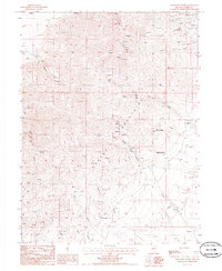
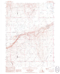
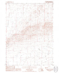
This is the sole edition of this map. No revisions or reprints were ever made.
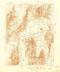
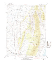
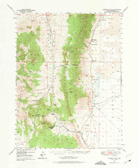
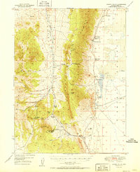
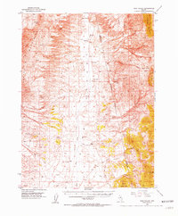
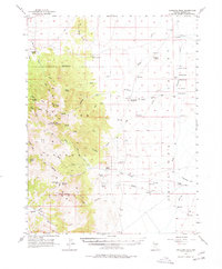
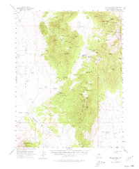
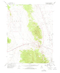
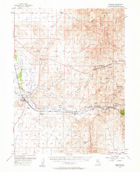
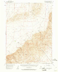
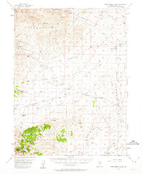
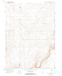
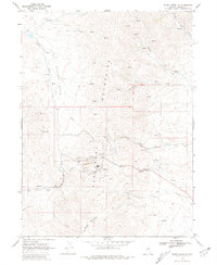
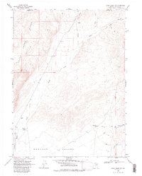
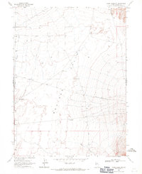
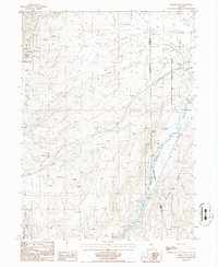
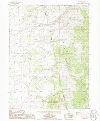
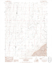
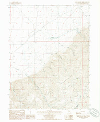
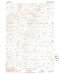
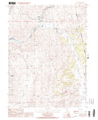
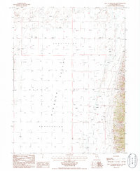
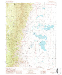
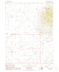
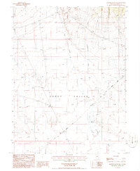
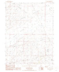
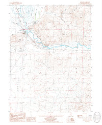
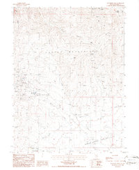
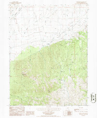
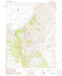
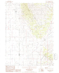
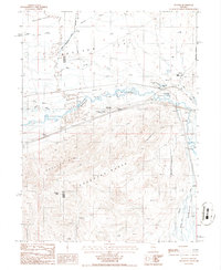
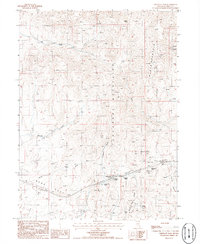
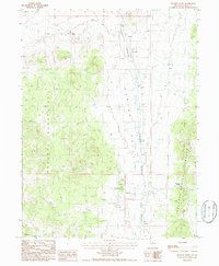
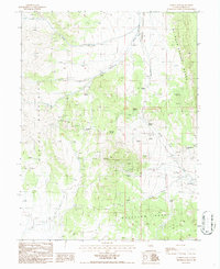
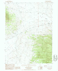
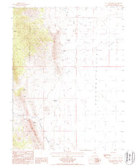
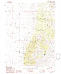
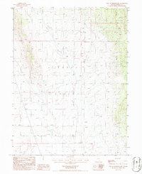
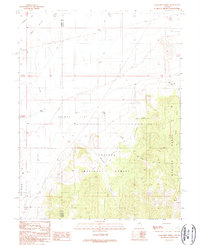
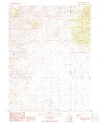
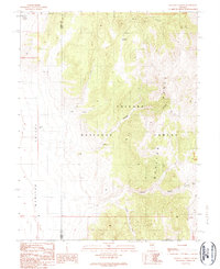
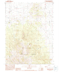
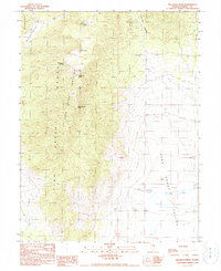
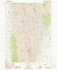
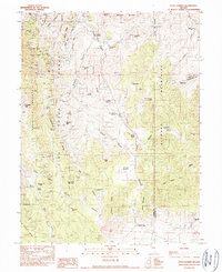
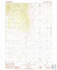
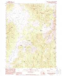
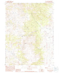
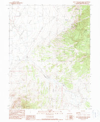
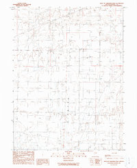
Historical Maps of Eureka County Through Time
176 maps found

1926 Roberts Mountains
Eureka County, NV
1929 Roberts Mountains
Eureka County, NV
1937 Mineral Hill
Eureka County, NV

1943 Mineral Hill
Eureka County, NV
1949 Garden Valley
Eureka County, NV
1949 Roberts Creek Mtn
Eureka County, NV
1951 Garden Valley
Eureka County, NV

1951 Roberts Creek Mtn
Eureka County, NV
1952 Pine Valley
Eureka County, NV
1956 Antelope Peak
Eureka County, NV
1956 Bartine Ranch
Eureka County, NV
1956 Bellevue Peak
Eureka County, NV
1956 Whistler Mtn
Eureka County, NV
1957 Beowawe
Eureka County, NV
1957 Diamond Springs
Eureka County, NV
1957 Frenchie Creek
Eureka County, NV
1957 Horse Creek Valley
Eureka County, NV
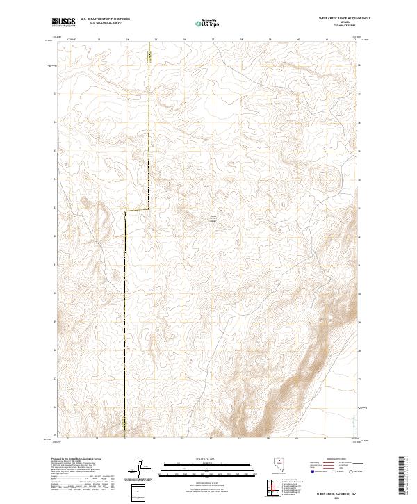
1965 Sheep Creek Range NE
Eureka County, NV
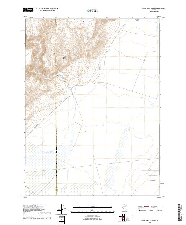
1965 Sheep Creek Range SE
Eureka County, NV
1968 Rodeo Creek NE
Eureka County, NV
1968 Rodeo Creek NW
Eureka County, NV
1968 Rodeo Creek SW
Eureka County, NV
1968 Schroeder Mtn
Eureka County, NV
1968 Swales Mountain NW
Eureka County, NV
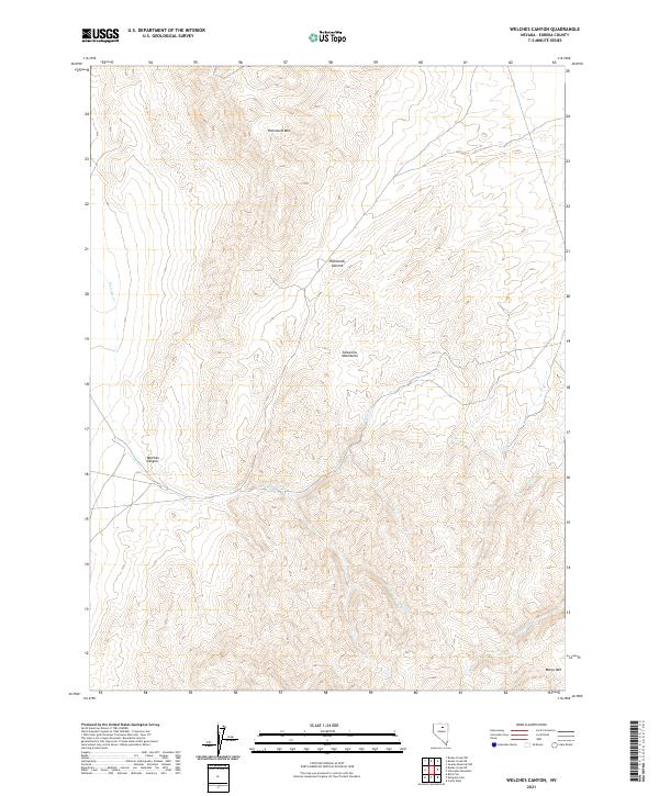
1968 Welches Canyon
Eureka County, NV
1978 Summit Mountain
Eureka County, NV
1979 Simpson Park Mtns
Eureka County, NV
1985 Carlin West
Eureka County, NV
1985 Coffin Mtn
Eureka County, NV
1985 East of Tenabo
Eureka County, NV
1985 Frenchie Flat
Eureka County, NV
1985 Hand-Me-Down Creek
Eureka County, NV
1985 McCormack Spring
Eureka County, NV
1985 Palisade
Eureka County, NV
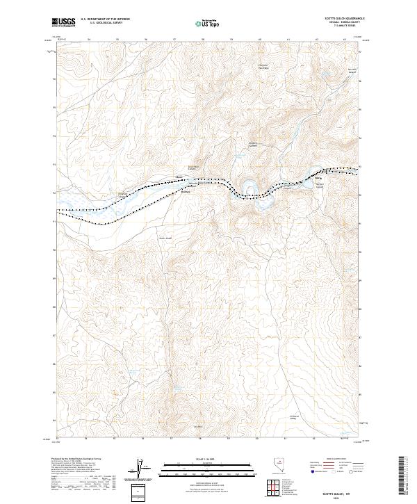
1985 Scotts Gulch
Eureka County, NV
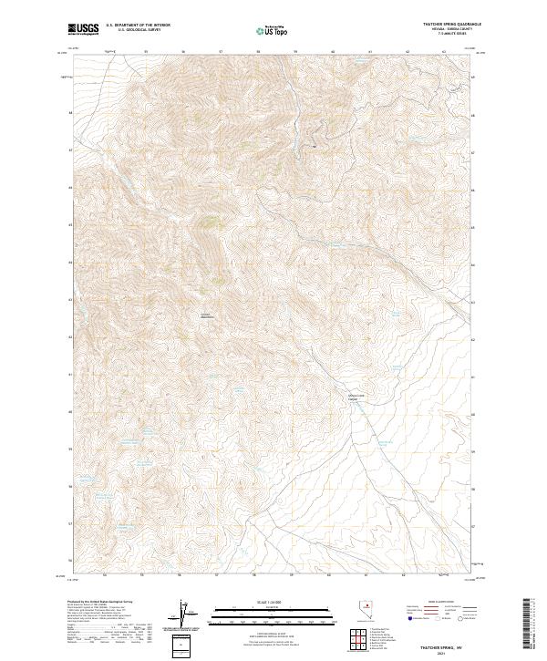
1985 Thatcher Spring
Eureka County, NV
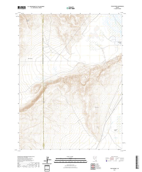
1985 The Geysers
Eureka County, NV
1985 Tumbleweed Flat
Eureka County, NV
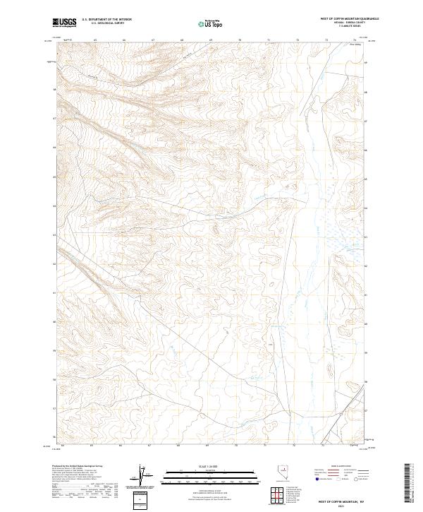
1985 West of Coffin Mtn
Eureka County, NV
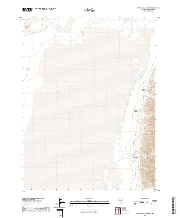
1985 West of Railroad Pass
Eureka County, NV
1986 Bailey Pass
Eureka County, NV
1986 Bartine Ranch
Eureka County, NV
1986 Bartine Ranch NE
Eureka County, NV
1986 Bartine Ranch NW
Eureka County, NV
1986 Bean Flat East
Eureka County, NV

1986 Bean Flat West
Eureka County, NV
1986 Beowawe
Eureka County, NV
1986 Bobs Flat
Eureka County, NV
1986 Buckhorn Mine
Eureka County, NV
1986 Cooper Peak
Eureka County, NV
1986 Cortez
Eureka County, NV
1986 Curlow Flat
Eureka County, NV

1986 Devon Peak
Eureka County, NV
1986 Dugout Spring
Eureka County, NV
1986 Dunphy
Eureka County, NV
1986 Emigrant Pass
Eureka County, NV
1986 Fagin Mountain
Eureka County, NV
1986 Frazier Creek
Eureka County, NV
1986 Garden Pass
Eureka County, NV
1986 Hay Ranch
Eureka County, NV
1986 Mineral Hill
Eureka County, NV
1986 Mineral Hill NW
Eureka County, NV
1986 Mineral Hill SW
Eureka County, NV
1986 Pete Hanson Creek
Eureka County, NV
1986 Roberts Creek Mtn
Eureka County, NV
1986 Rocky Hills
Eureka County, NV
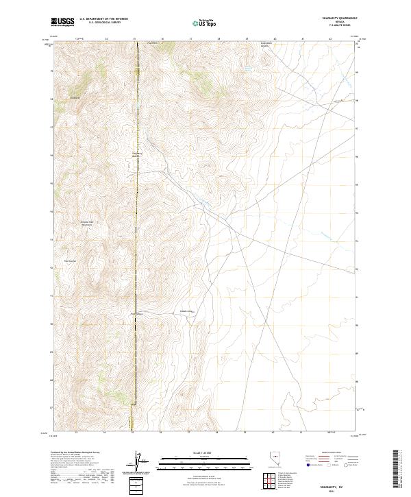
1986 Shagnasty
Eureka County, NV

1986 Telegraph Canyon
Eureka County, NV
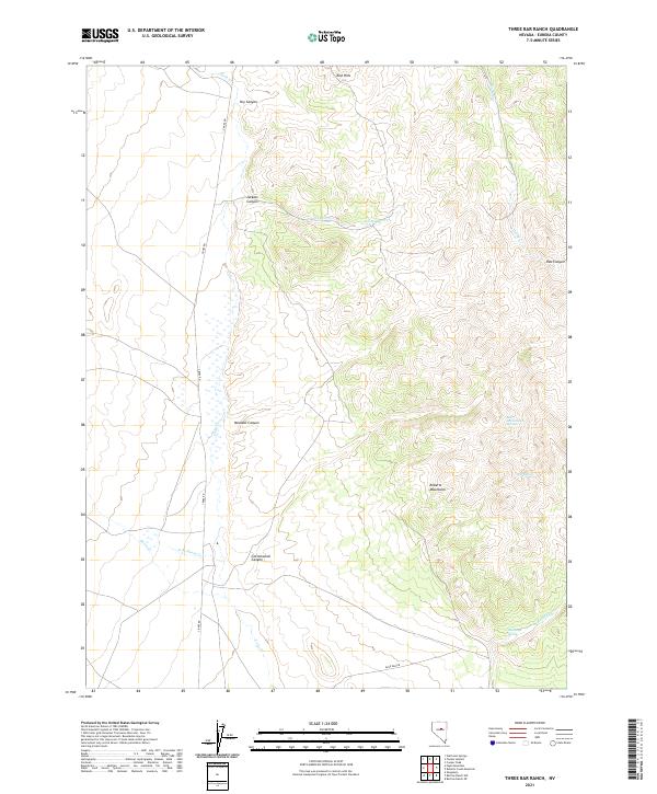
1986 Three Bar Ranch
Eureka County, NV
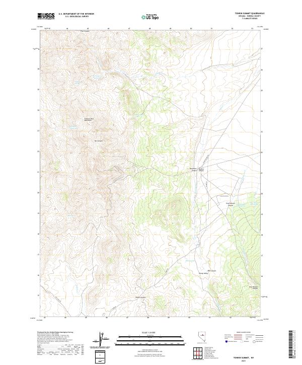
1986 Tonkin Summit
Eureka County, NV
1986 Tule Dam Spring
Eureka County, NV
1986 Walti Hot Springs
Eureka County, NV
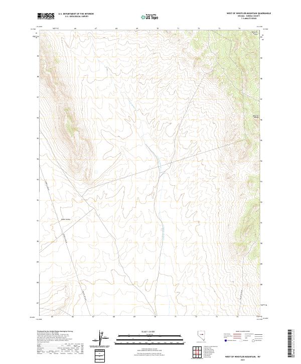
1986 West of Whistler Mtn
Eureka County, NV
1986 Whistler Mtn
Eureka County, NV
1989 Jackrabbit Spring
Eureka County, NV
1989 Ninemile Peak
Eureka County, NV
1989 Wallace Canyon
Eureka County, NV
1989 White Sage Canyon
Eureka County, NV
1990 Antelope Peak
Eureka County, NV
1990 Bellevue Peak
Eureka County, NV
1990 Christina Peak
Eureka County, NV
1990 Cockalorum Spring
Eureka County, NV
1990 Combs Peak
Eureka County, NV
1990 Diamond Springs
Eureka County, NV
1990 Eightmile Well
Eureka County, NV
1990 Horse Heaven Mountain
Eureka County, NV
1990 Kitchen Meadow
Eureka County, NV
1990 Moody Peak NW
Eureka County, NV
1990 Ninemile Peak
Eureka County, NV
1990 North of Eureka
Eureka County, NV
1990 Pinto Summit
Eureka County, NV
1990 Pinto Summit SW
Eureka County, NV
1990 Spring Valley Summit
Eureka County, NV
1990 Sullivan Wash
Eureka County, NV
1990 Well Canyon
Eureka County, NV
1990 West of Bellevue Peak
Eureka County, NV
1990 West of Christina Peak
Eureka County, NV
1990 West of Diamond Springs
Eureka County, NV
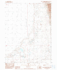
2021 Antelope Peak
Eureka County, NV
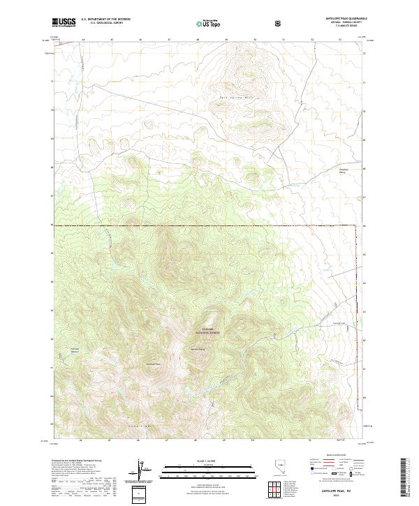
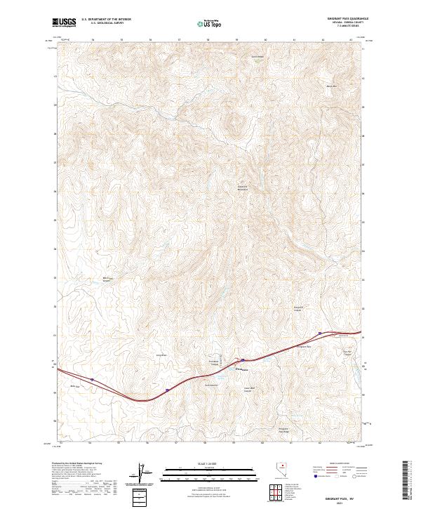
2021 Bailey Pass
Eureka County, NV
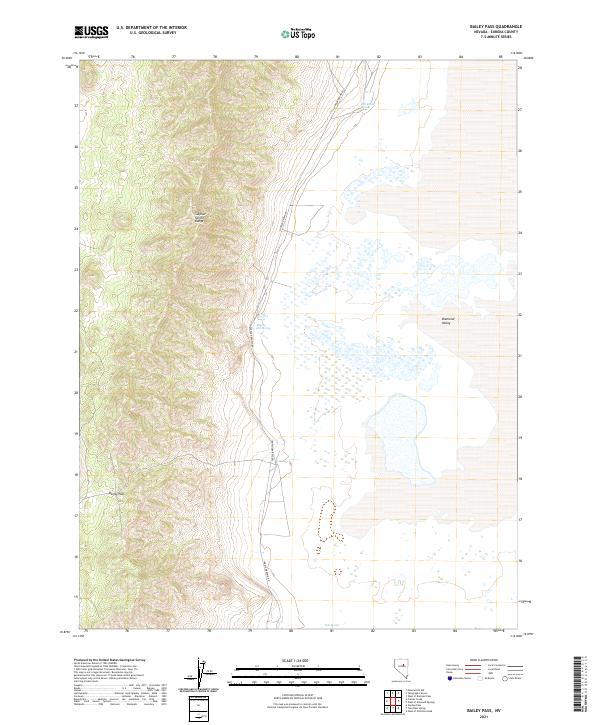
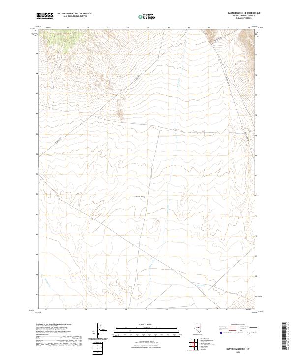
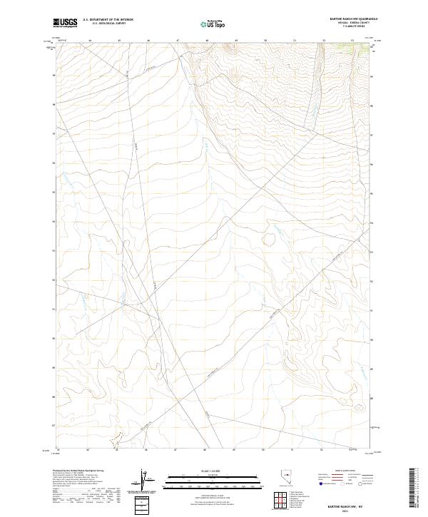
2021 Bartine Ranch
Eureka County, NV
2021 Bartine Ranch NE
Eureka County, NV
2021 Bartine Ranch NW
Eureka County, NV
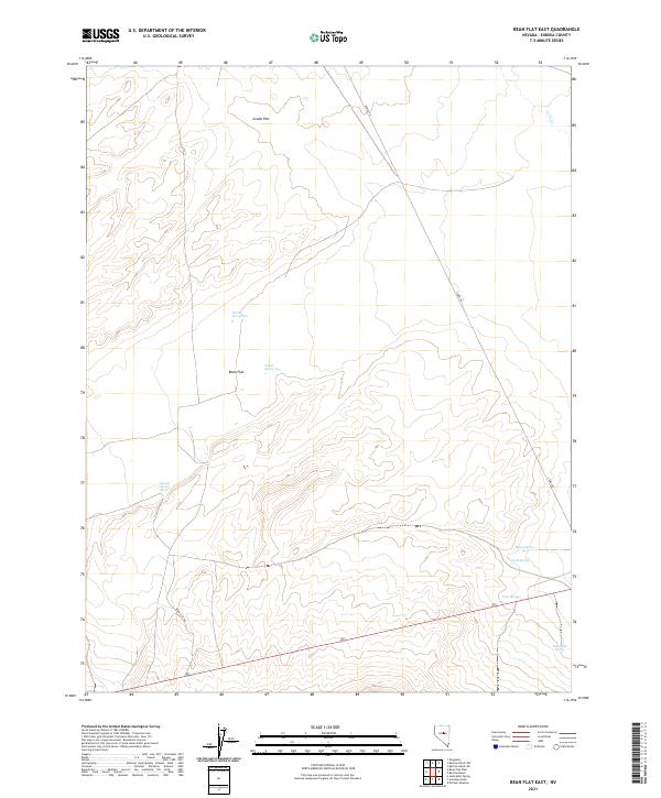
2021 Bean Flat East
Eureka County, NV
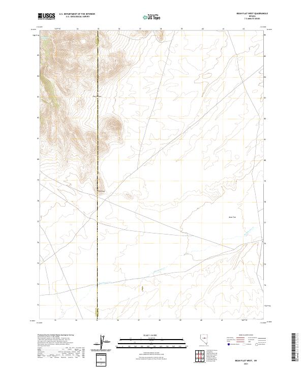
2021 Bean Flat West
Eureka County, NV
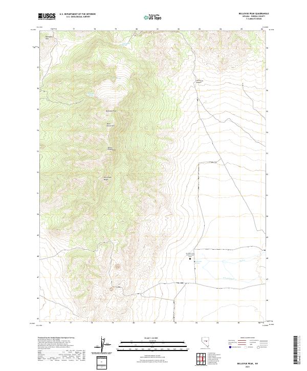
2021 Bellevue Peak
Eureka County, NV
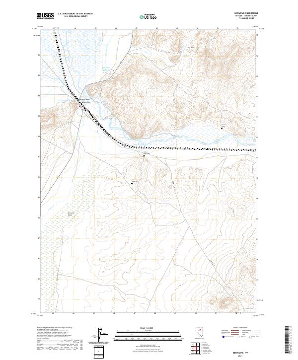
2021 Beowawe
Eureka County, NV
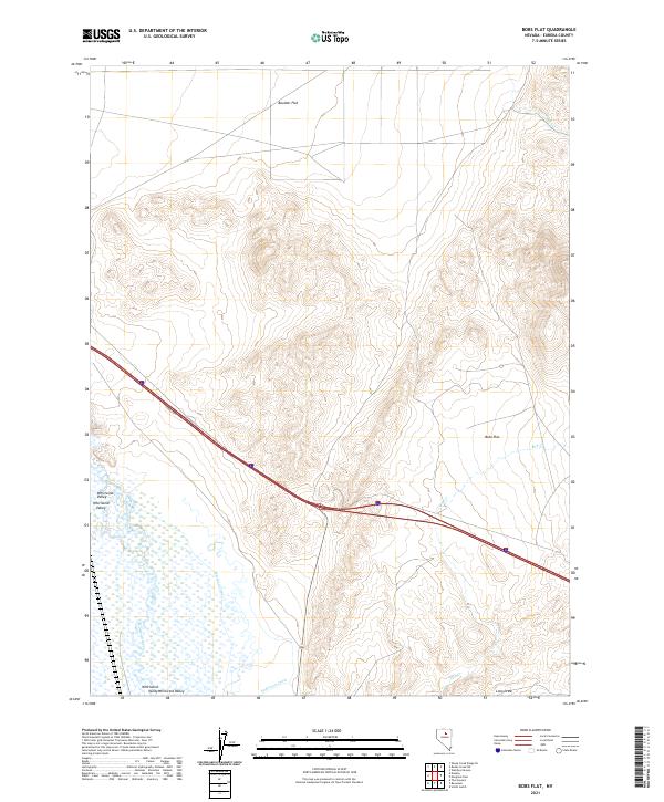
2021 Bobs Flat
Eureka County, NV
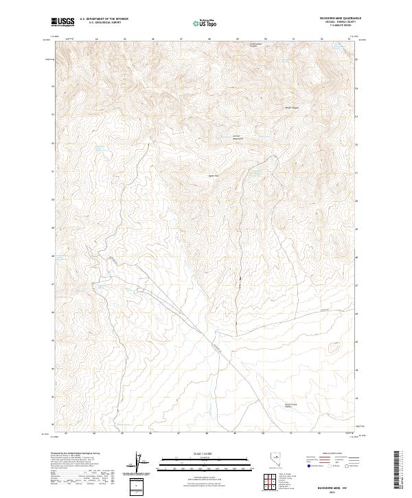
2021 Buckhorn Mine
Eureka County, NV
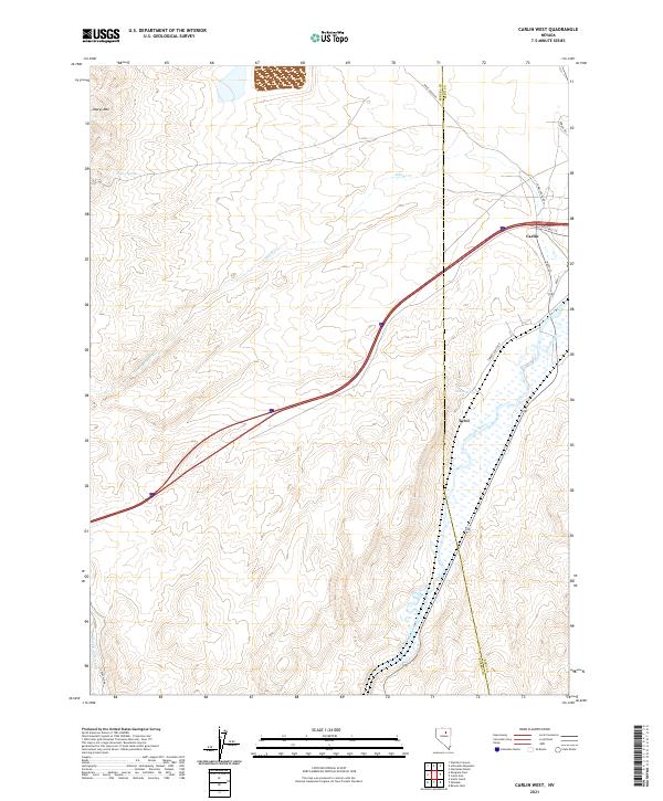
2021 Carlin West
Eureka County, NV
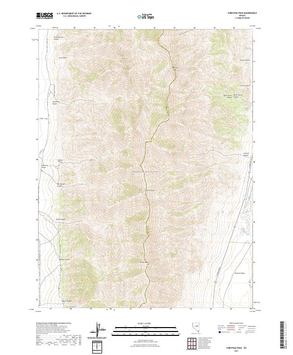
2021 Christina Peak
Eureka County, NV
2021 Cockalorum Spring
Eureka County, NV
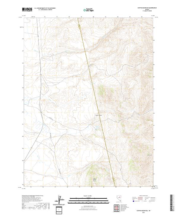
2021 Coffin Mountain
Eureka County, NV
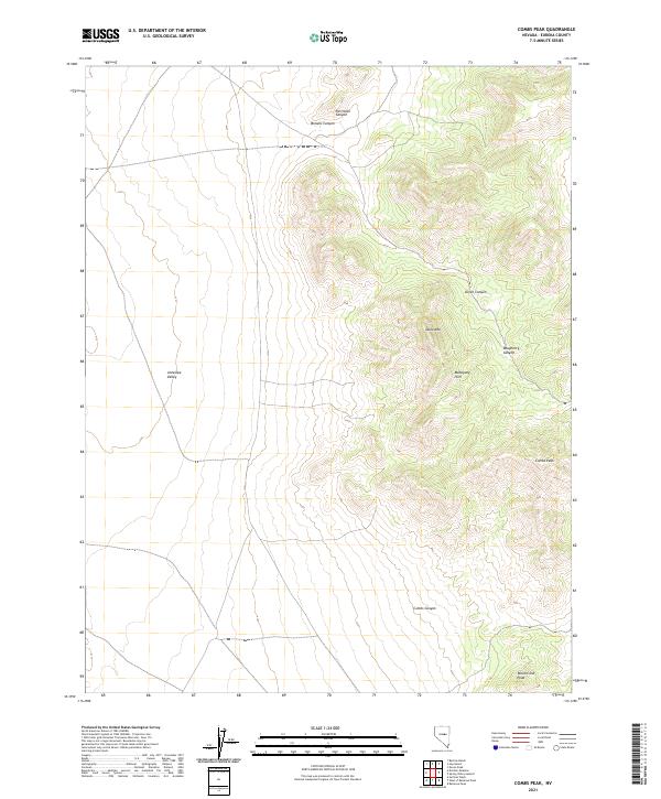
2021 Combs Peak
Eureka County, NV
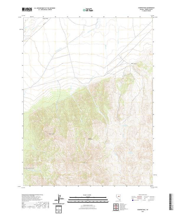
2021 Cooper Peak
Eureka County, NV
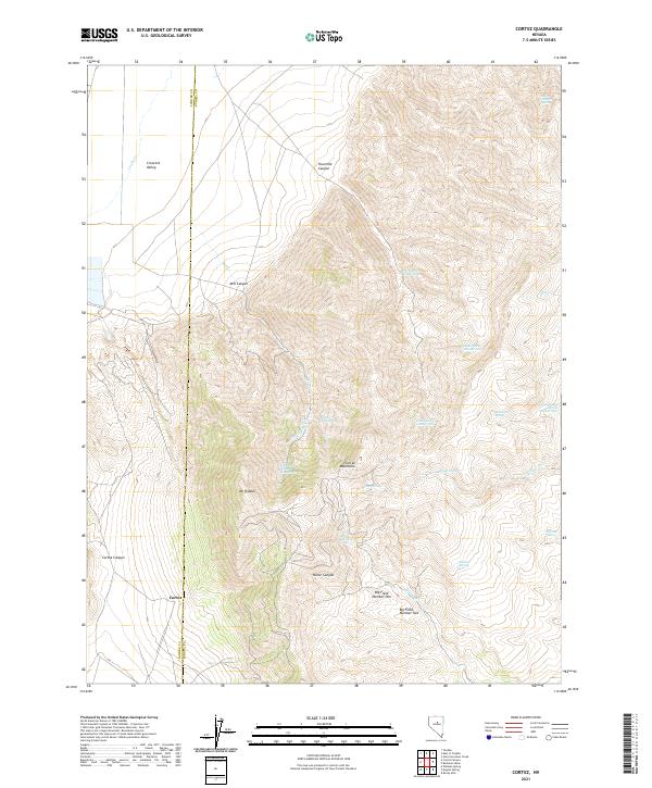
2021 Cortez
Eureka County, NV
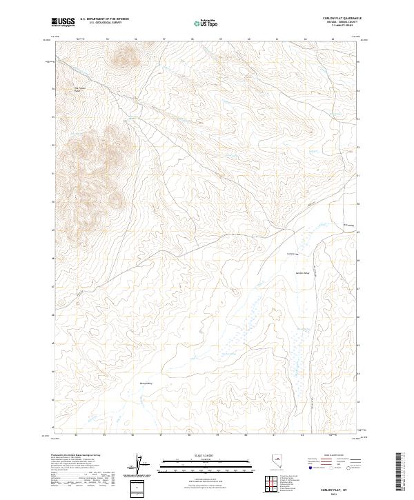
2021 Curlow Flat
Eureka County, NV
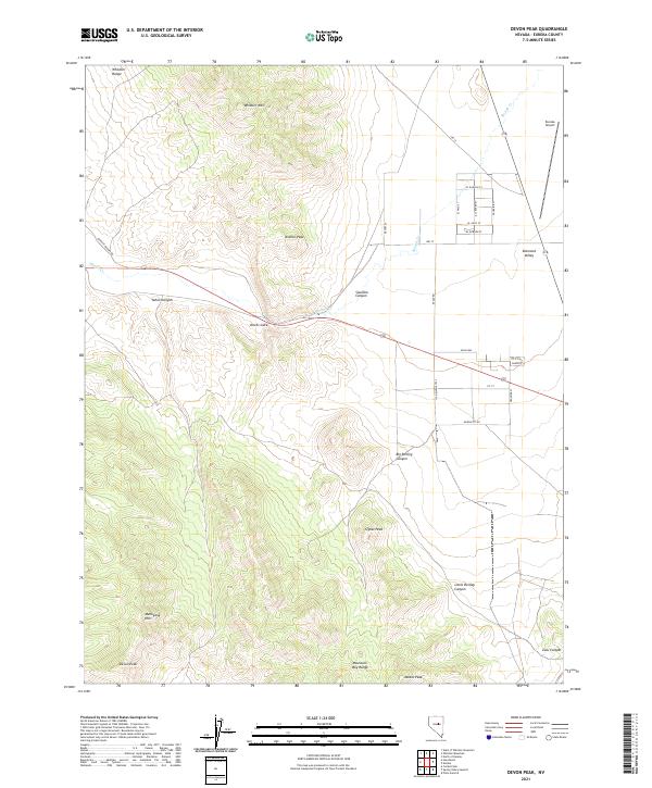
2021 Devon Peak
Eureka County, NV
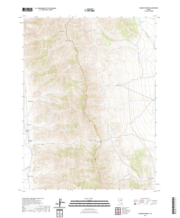
2021 Diamond Springs
Eureka County, NV
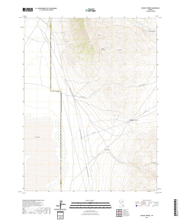
2021 Dugout Spring
Eureka County, NV
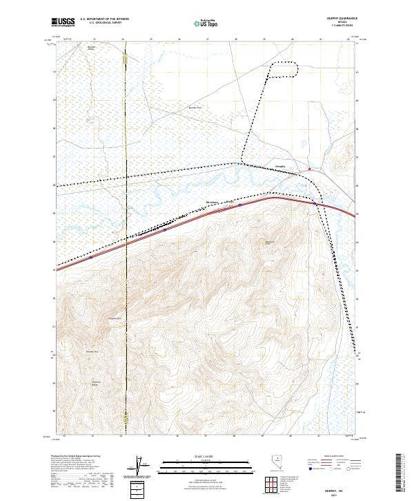
2021 Dunphy
Eureka County, NV
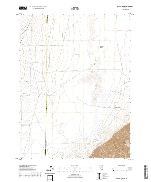
2021 East of Tenabo
Eureka County, NV
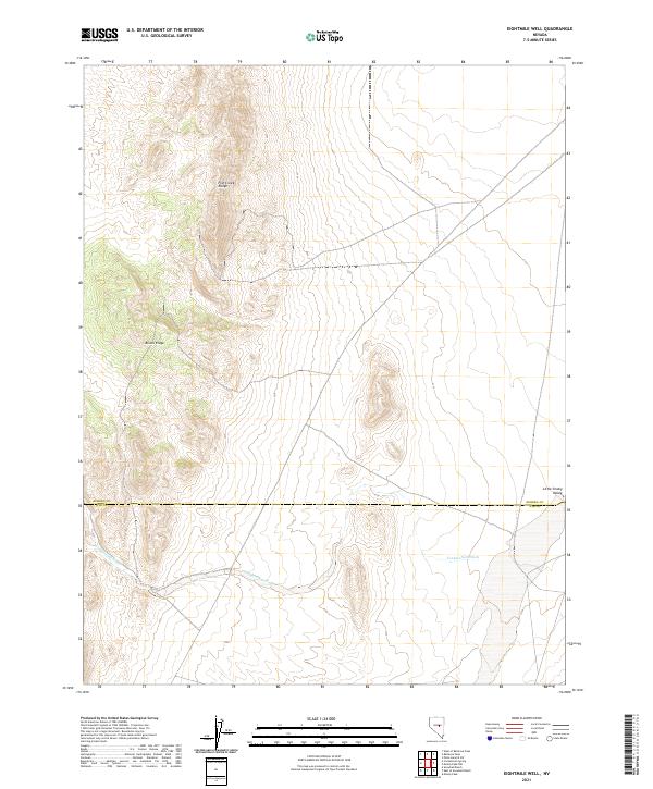
2021 Eightmile Well
Eureka County, NV
2021 Emigrant Pass
Eureka County, NV
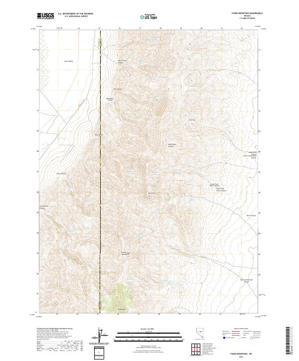
2021 Fagin Mountain
Eureka County, NV
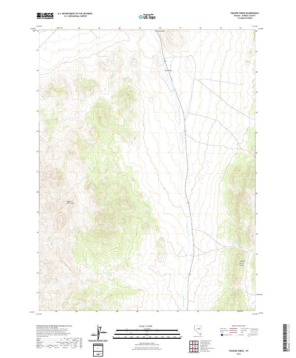
2021 Frazier Creek
Eureka County, NV
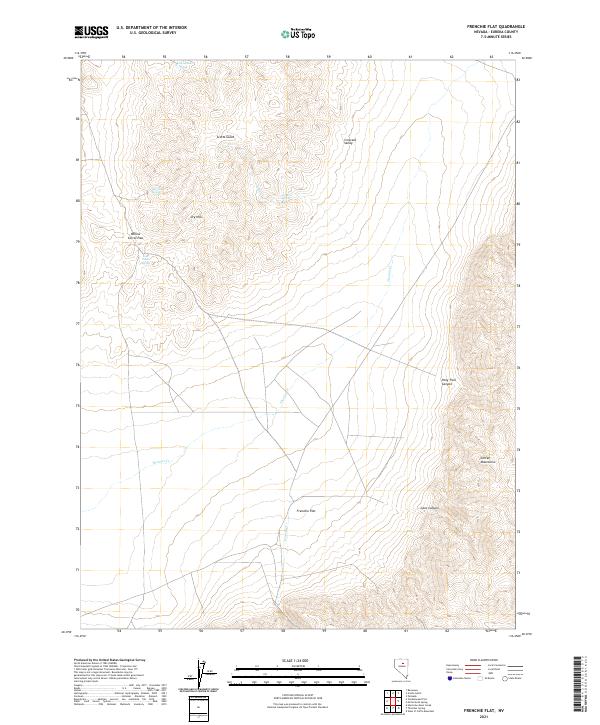
2021 Frenchie Flat
Eureka County, NV
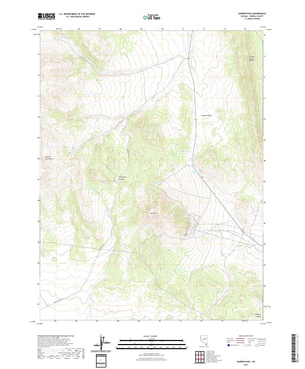
2021 Garden Pass
Eureka County, NV
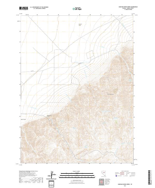
2021 Hand-me-down Creek
Eureka County, NV
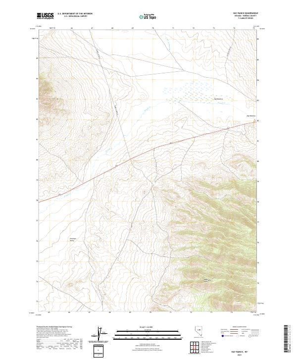
2021 Hay Ranch
Eureka County, NV
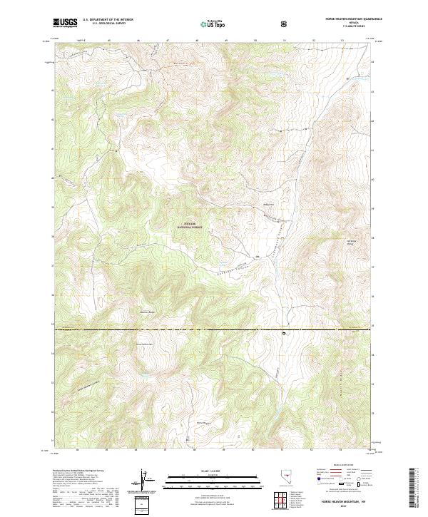
2021 Horse Heaven Mountain
Eureka County, NV
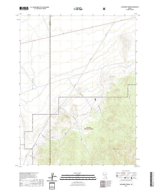
2021 Jackrabbit Spring
Eureka County, NV
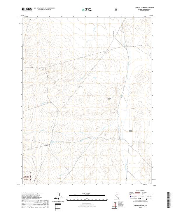
2021 Kitchen Meadow
Eureka County, NV
2021 McCormack Spring
Eureka County, NV
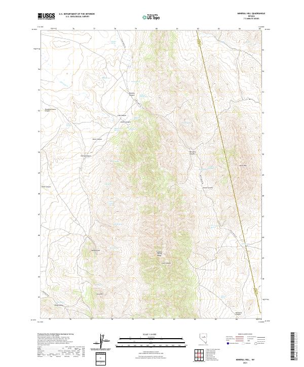
2021 Mineral Hill
Eureka County, NV
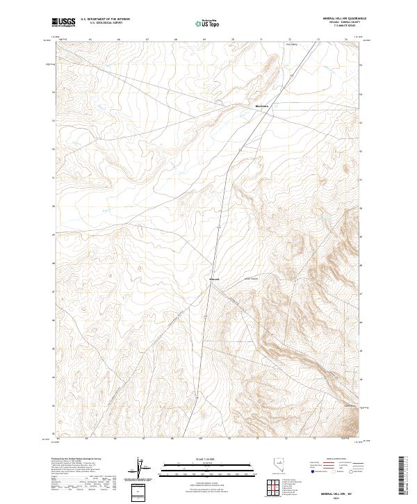
2021 Mineral Hill NW
Eureka County, NV
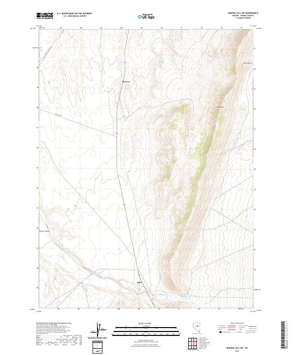
2021 Mineral Hill SW
Eureka County, NV
2021 Moody Peak NW
Eureka County, NV
2021 Ninemile Peak
Eureka County, NV
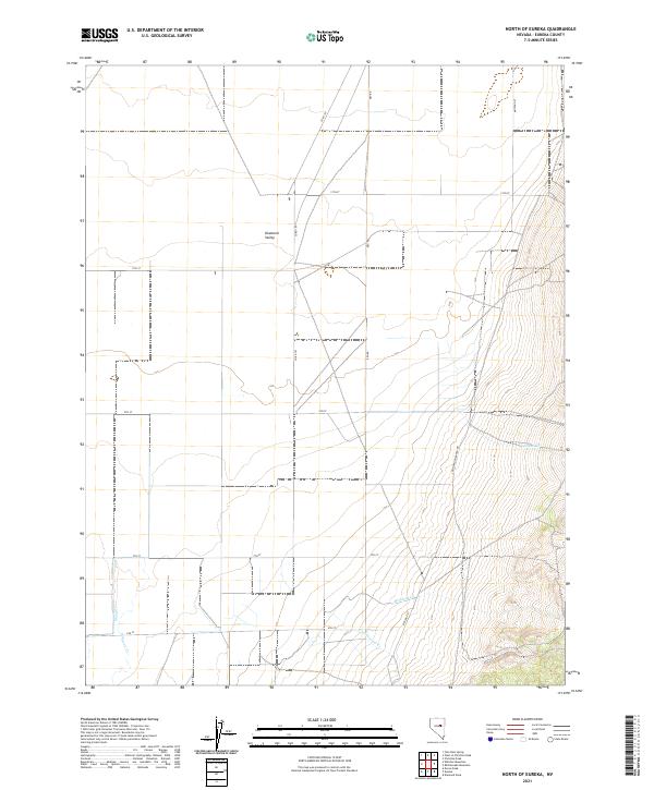
2021 North of Eureka
Eureka County, NV
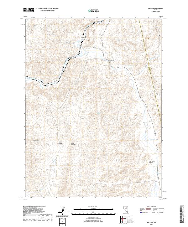
2021 Palisade
Eureka County, NV
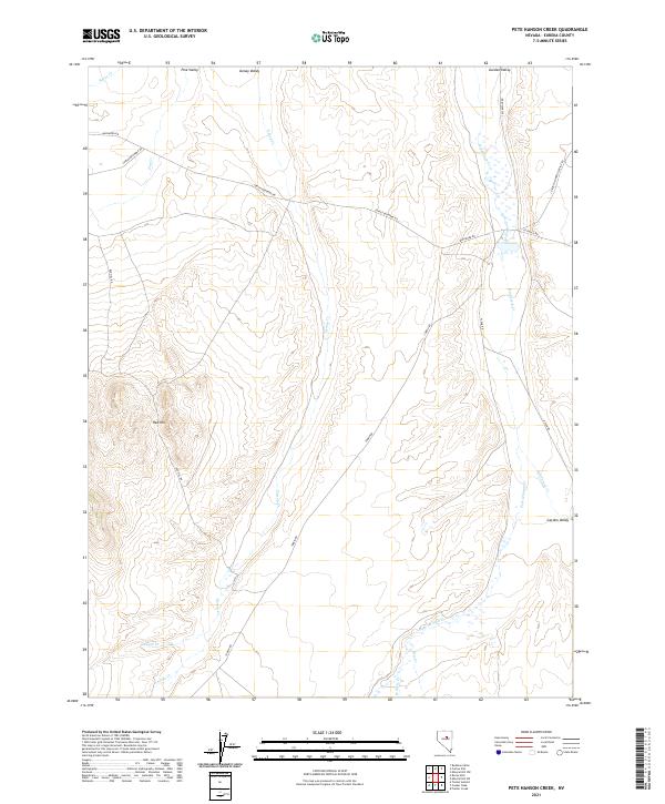
2021 Pete Hanson Creek
Eureka County, NV
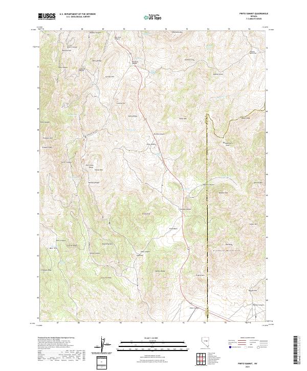
2021 Pinto Summit
Eureka County, NV
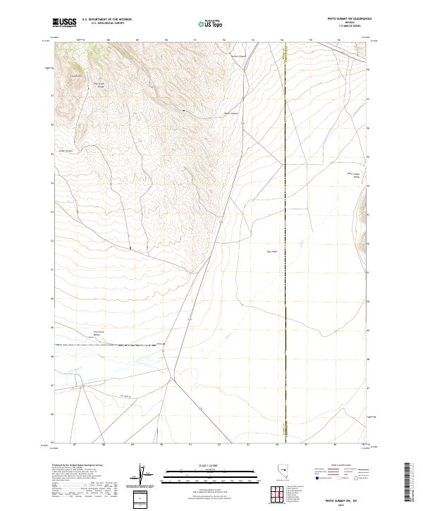
2021 Pinto Summit SW
Eureka County, NV
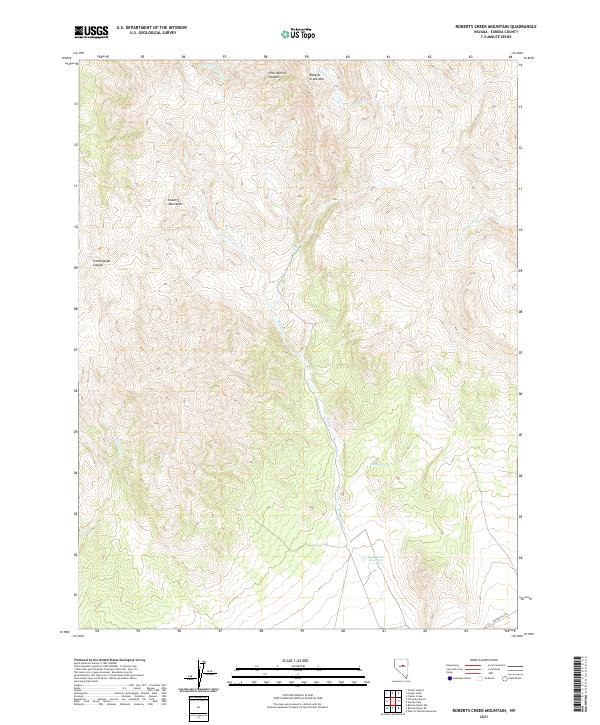
2021 Roberts Creek Mountain
Eureka County, NV
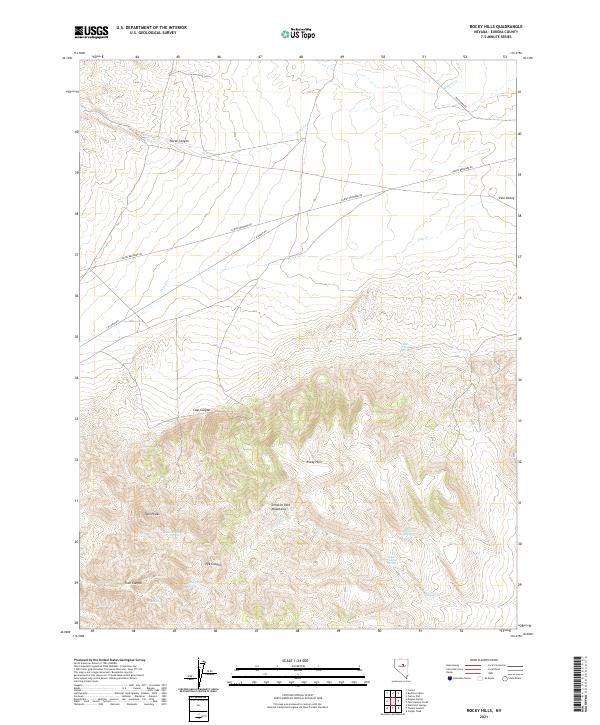
2021 Rocky Hills
Eureka County, NV
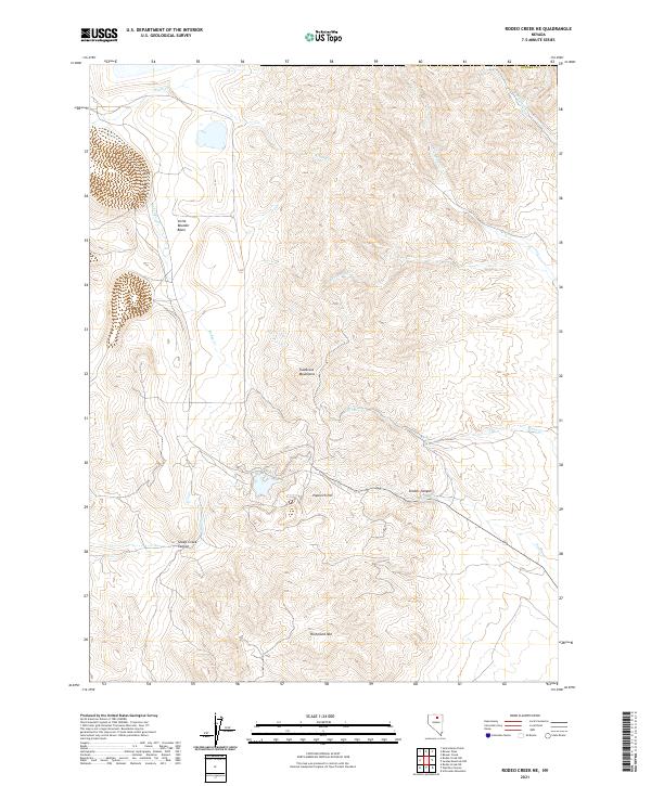
2021 Rodeo Creek NE
Eureka County, NV
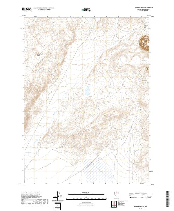
2021 Rodeo Creek NW
Eureka County, NV
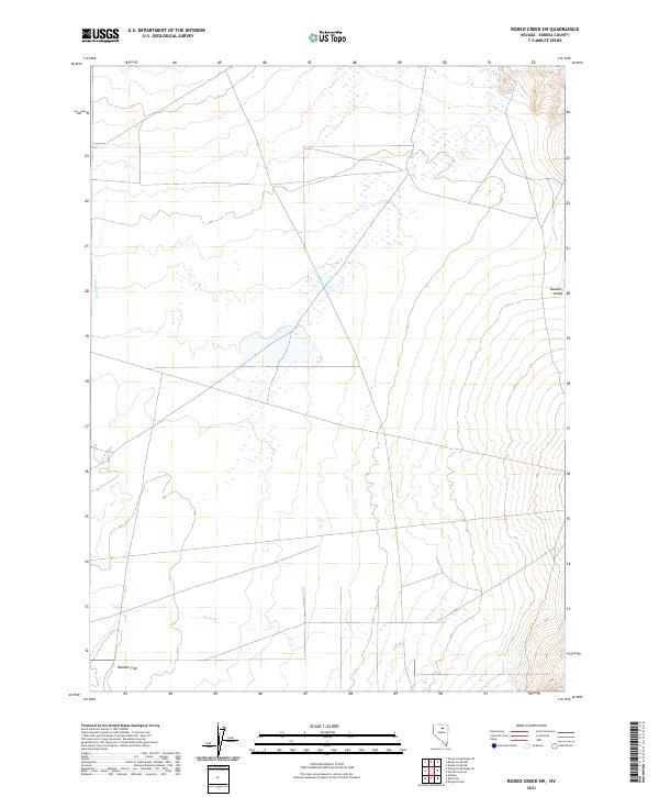
2021 Rodeo Creek SW
Eureka County, NV
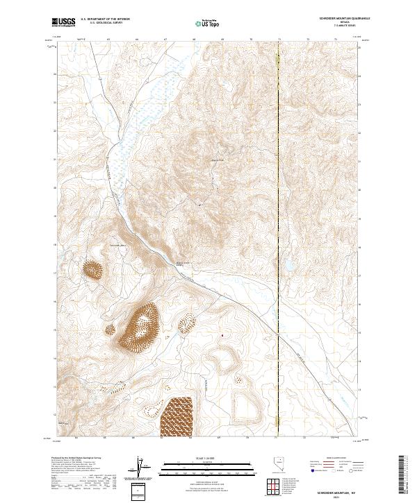
2021 Schroeder Mountain
Eureka County, NV
2021 Scotts Gulch
Eureka County, NV
2021 Shagnasty
Eureka County, NV
2021 Sheep Creek Range NE
Eureka County, NV
2021 Sheep Creek Range SE
Eureka County, NV
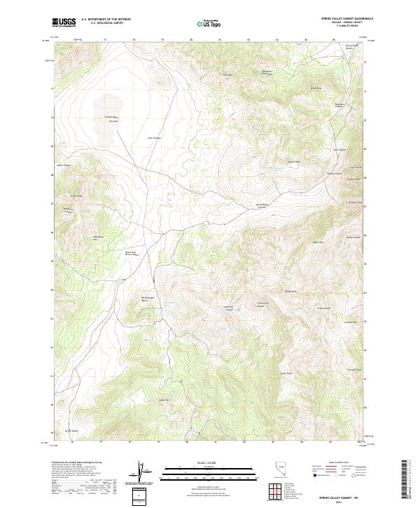
2021 Spring Valley Summit
Eureka County, NV
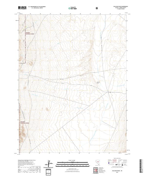
2021 Sullivan Wash
Eureka County, NV
2021 Swales Mountain NW
Eureka County, NV
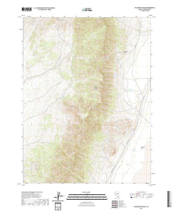
2021 Telegraph Canyon
Eureka County, NV
2021 Thatcher Spring
Eureka County, NV
2021 The Geysers
Eureka County, NV
2021 Three Bar Ranch
Eureka County, NV
2021 Tonkin Summit
Eureka County, NV
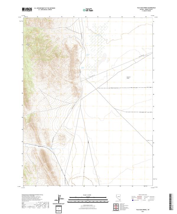
2021 Tule Dam Spring
Eureka County, NV
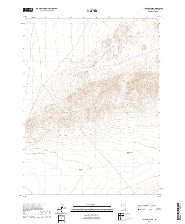
2021 Tumbleweed Flat
Eureka County, NV
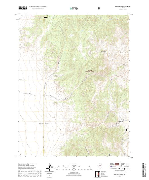
2021 Wallace Canyon
Eureka County, NV
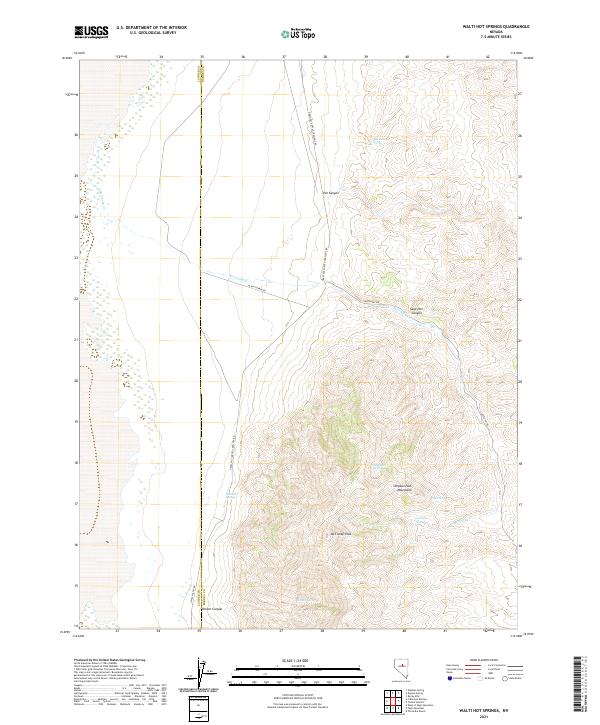
2021 Walti Hot Springs
Eureka County, NV
2021 Welches Canyon
Eureka County, NV
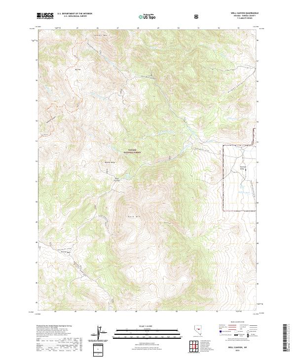
2021 Well Canyon
Eureka County, NV
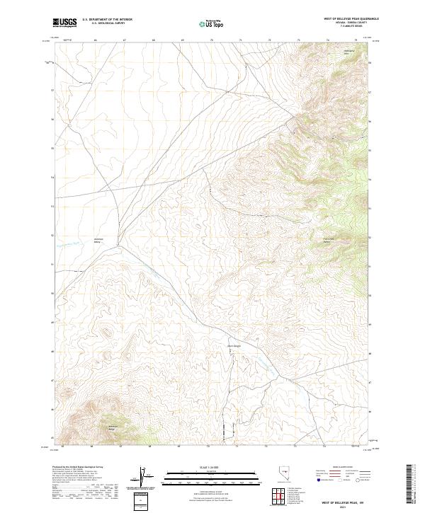
2021 West of Bellevue Peak
Eureka County, NV
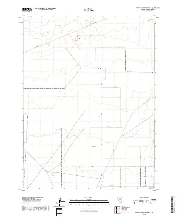
2021 West of Christina Peak
Eureka County, NV
2021 West of Coffin Mountain
Eureka County, NV
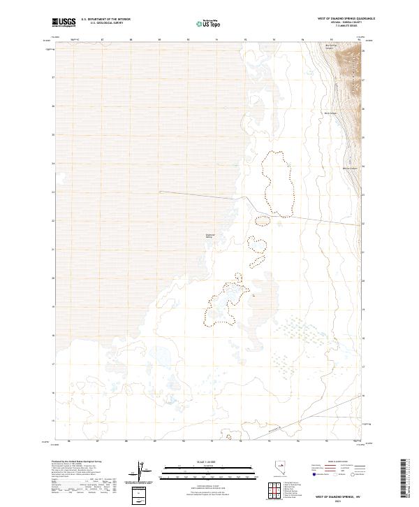
2021 West of Diamond Springs
Eureka County, NV
2021 West of Railroad Pass
Eureka County, NV
2021 West of Whistler Mountain
Eureka County, NV
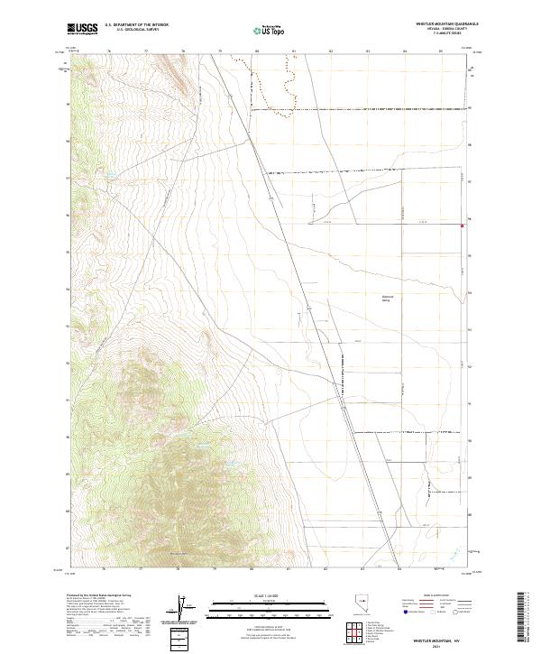
2021 Whistler Mountain
Eureka County, NV
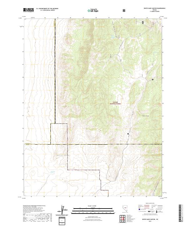
2021 White Sage Canyon
Eureka County, NV