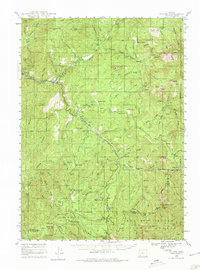
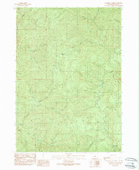
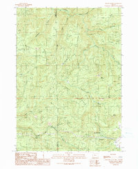
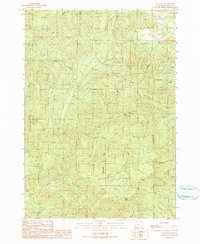
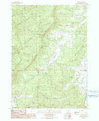
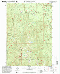
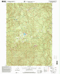
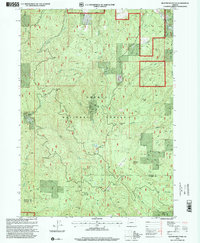
2023 Map of Hinkle Creek
USGS Topo · Published 2023About this map
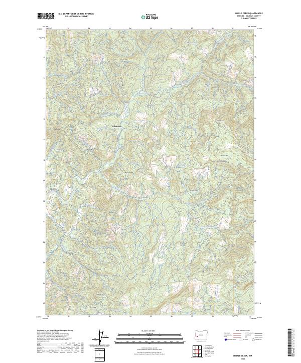
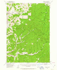
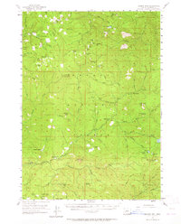
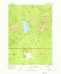
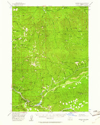
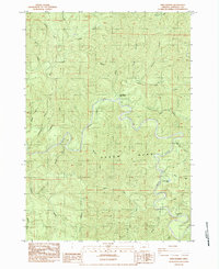
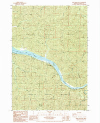
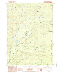
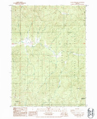
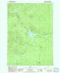
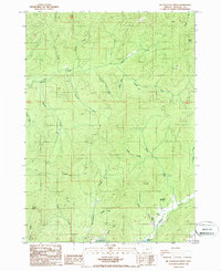
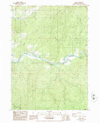
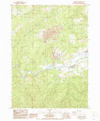
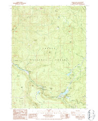
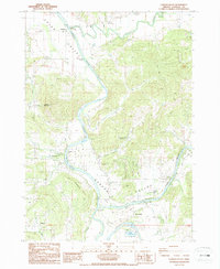
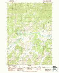
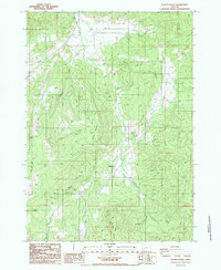
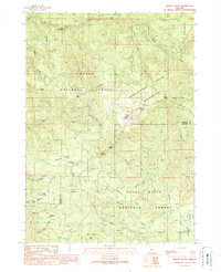
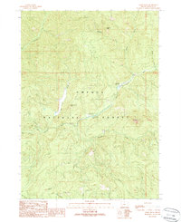
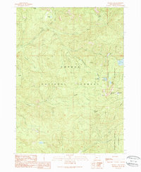
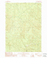
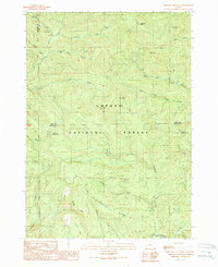
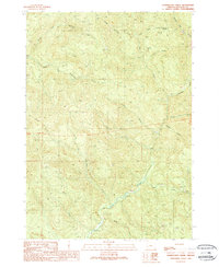
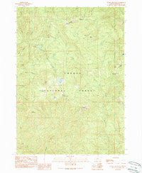
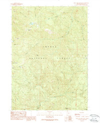
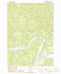
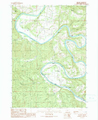
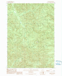
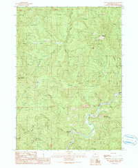
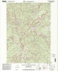
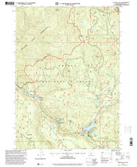
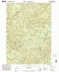
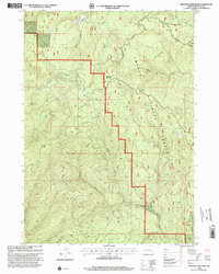
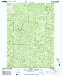
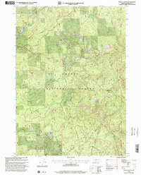
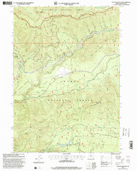
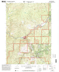
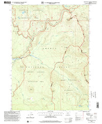
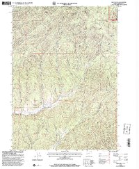
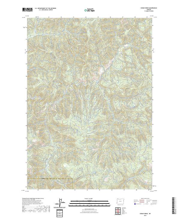
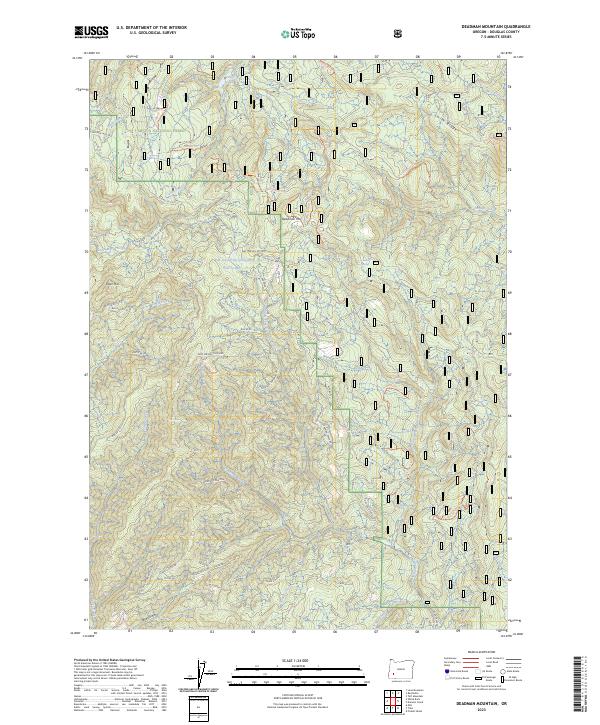
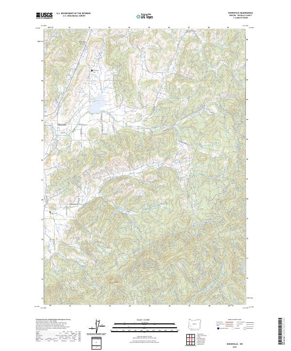
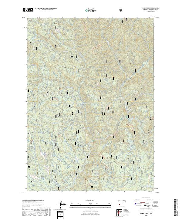
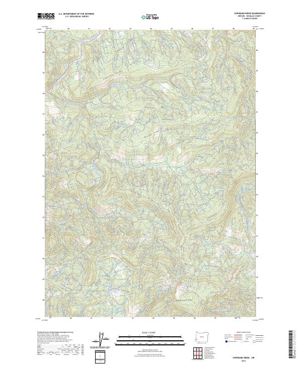
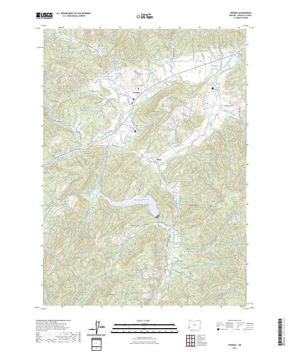
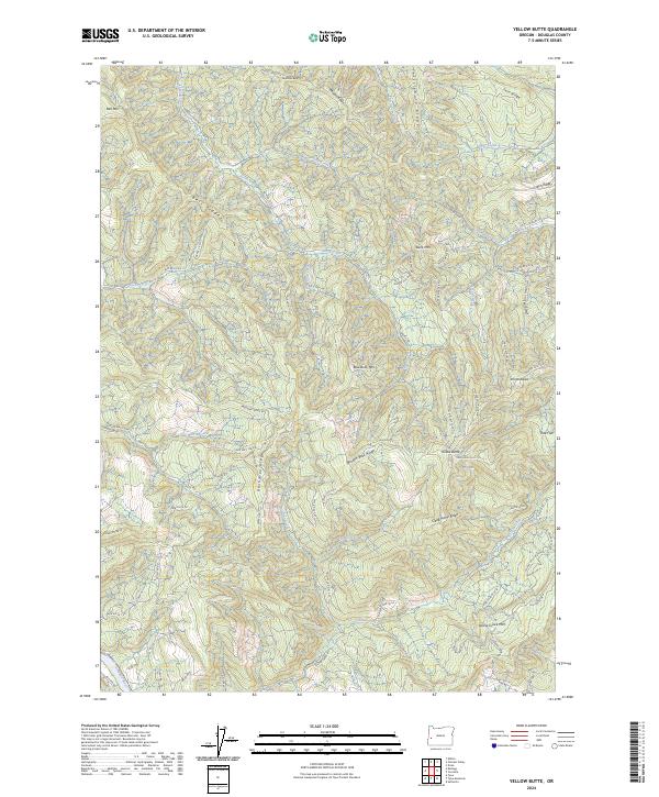
Hawthorne serves as the central point of interest in this drainage-heavy landscape of Douglas County, where the topography is defined by the divides between major creek systems. The terrain is characterized by prominent ridges such as Timothy Ridge and Taylor Ridge, which separate the headwaters of the Calapooya and Hinkle drainage basins. In the northern reaches, the North Fork Calapooya Creek and South Fork Calapooya Creek carve through the timbered uplands, while the south is dominated by the complex tributaries of Hinkle Creek. Notable landmarks include Jeffers Butte and Gobblers Knob, peaks that provide orientation in this densely wooded area. This modern survey reflects the Bureau of Land Management’s extensive road network, including numerous spur roads like Hinkle Cr Sp and Gassy Cr Sp, which facilitate access to these once-isolated ridges for resource management and recreation.
Find a feature on this map
62 named features on this map. Tap any name to fly to it.
Don’t see what you’re looking for? This feature index may not catch every label — zoom into the map to look around manually.
Map Details
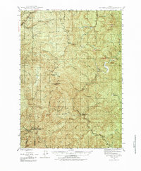
Editions of this 2023 Hinkle Creek Map
This is the sole edition of this map. No revisions or reprints were ever made.
Historical Maps of Hawthorne Through Time
212 maps found
1917 Diamond Lake
Douglas County, OR

1919 Earl
Douglas County, OR
1942 Roman Nose Mtn
Douglas County, OR
1943 Goodwin Peak
Douglas County, OR
1944 Tiller
Douglas County, OR

1945 Roman Nose Mtn
Douglas County, OR
1946 Dutchman Butte
Douglas County, OR
1948 Dutchman Butte
Douglas County, OR
1954 Anlauf
Douglas County, OR
1954 Dixonville
Douglas County, OR
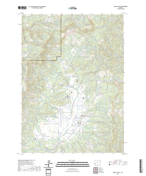
1955 Camas Valley
Douglas County, OR
1955 Illahee Rock
Douglas County, OR
1955 Mace Mtn
Douglas County, OR
1955 Quartz Mtn
Douglas County, OR
1955 Red Butte
Douglas County, OR
1955 Scottsburg
Douglas County, OR
1955 Tyee
Douglas County, OR
1956 Diamond Lake
Douglas County, OR
1956 Garwood Butte
Douglas County, OR
1956 Goodwin Peak
Douglas County, OR
1956 Summit Lake
Douglas County, OR
1956 Toketee Falls
Douglas County, OR
1978 Diamond Lake
Douglas County, OR

1984 Fivemile Creek
Douglas County, OR

1984 Gunter
Douglas County, OR

1984 North Fork
Douglas County, OR
1984 Smith River Falls
Douglas County, OR
1984 Tahkenitch Creek
Douglas County, OR
1984 Twin Sisters
Douglas County, OR
1985 Deer Head Point
Douglas County, OR
1985 Diamond Lake
Douglas County, OR
1985 Garwood Butte
Douglas County, OR
1985 Hamaker Butte
Douglas County, OR
1985 Loon Lake
Douglas County, OR
1985 Mount Thielsen
Douglas County, OR
1985 Pumice Desert West
Douglas County, OR

1985 Scottsburg
Douglas County, OR
1986 Cedar Springs Mtn
Douglas County, OR
1986 Lemolo Lake
Douglas County, OR
1986 Mc Cullough Creek
Douglas County, OR
1986 Milo
Douglas County, OR
1986 Nickel Mtn
Douglas County, OR
1986 Potter Mtn
Douglas County, OR
1986 Quines Creek
Douglas County, OR
1986 Starvout Creek
Douglas County, OR
1986 Toketee Falls
Douglas County, OR
1987 Curtin
Douglas County, OR
1987 Dixonville
Douglas County, OR
1987 Dodson Butte
Douglas County, OR
1987 Garden Valley
Douglas County, OR
1987 Hinkle Creek
Douglas County, OR
1987 Lane Mountain
Douglas County, OR
1987 Nonpareil
Douglas County, OR
1987 Oak Creek Valley
Douglas County, OR
1987 Putnam Valley
Douglas County, OR
1987 Roseburg East
Douglas County, OR
1987 Roseburg West
Douglas County, OR
1987 Scotts Valley
Douglas County, OR
1987 Tyee Mountain
Douglas County, OR
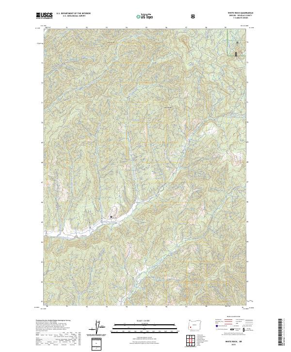
1987 White Rock
Douglas County, OR

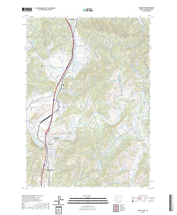
1987 Winchester
Douglas County, OR
1987 Yellow Butte
Douglas County, OR
1989 Abbott Butte
Douglas County, OR
1989 Acker Rock
Douglas County, OR
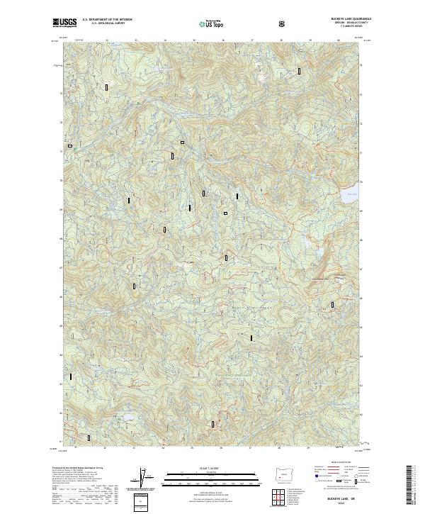
1989 Buckeye Lake
Douglas County, OR
1989 Butler Butte
Douglas County, OR
1989 Chilcoot Mountain
Douglas County, OR
1989 Deadman Mountain
Douglas County, OR

1989 Dumont Creek
Douglas County, OR
1989 Fish Creek Desert
Douglas County, OR
1989 Fish Mountain
Douglas County, OR
1989 Harrington Creek
Douglas County, OR
1989 Illahee Rock
Douglas County, OR
1989 Mace Mountain
Douglas County, OR

1989 Old Fairview
Douglas County, OR
1989 Pickett Butte
Douglas County, OR
1989 Quartz Mountain
Douglas County, OR
1989 Ragsdale Butte
Douglas County, OR
1989 Red Butte
Douglas County, OR
1989 Richter Mountain
Douglas County, OR
1989 Scaredman Creek
Douglas County, OR
1989 Steamboat
Douglas County, OR
1989 Taft Mountain
Douglas County, OR
1989 Tiller
Douglas County, OR
1989 Twin Lakes Mountain
Douglas County, OR
1990 Callahan
Douglas County, OR
1990 Camas Valley
Douglas County, OR

1990 Cedar Creek
Douglas County, OR
1990 Chipmunk Ridge
Douglas County, OR
1990 Devils Graveyard
Douglas County, OR

1990 Dutchman Butte
Douglas County, OR
1990 Kellogg
Douglas County, OR
1990 Kelly Butte
Douglas County, OR
1990 Live Oak Mountain
Douglas County, OR
1990 Mount Gurney
Douglas County, OR
1990 Old Blue
Douglas County, OR

1990 Rabbit Mountain
Douglas County, OR
1990 Reston
Douglas County, OR

1990 Tenmile
Douglas County, OR

1990 Tyee
Douglas County, OR
1997 Fish Creek Desert
Douglas County, OR
1997 Fish Mountain
Douglas County, OR
1997 Hamaker Butte
Douglas County, OR
1997 Illahee Rock
Douglas County, OR
1997 Mace Mountain
Douglas County, OR

1997 Old Fairview
Douglas County, OR
1997 Quartz Mountain
Douglas County, OR
1997 Red Butte
Douglas County, OR
1997 Steamboat
Douglas County, OR
1997 Taft Mountain
Douglas County, OR
1997 Toketee Falls
Douglas County, OR
1997 Twin Lakes Mountain
Douglas County, OR
1998 Abbott Butte
Douglas County, OR
1998 Acker Rock
Douglas County, OR
1998 Buckeye Lake
Douglas County, OR
1998 Butler Butte
Douglas County, OR
1998 Cedar Springs Mountain
Douglas County, OR
1998 Chilcoot Mountain
Douglas County, OR
1998 Deadman Mountain
Douglas County, OR
1998 Diamond Lake
Douglas County, OR
1998 Dumont Creek
Douglas County, OR
1998 Garwood Butte
Douglas County, OR
1998 Lane Mountain
Douglas County, OR
1998 Lemolo Lake
Douglas County, OR
1998 Milo
Douglas County, OR
1998 Mount Thielsen
Douglas County, OR
1998 Pickett Butte
Douglas County, OR
1998 Potter Mountain
Douglas County, OR
1998 Pumice Desert West
Douglas County, OR
1998 Ragsdale Butte
Douglas County, OR
1998 Richter Mountain
Douglas County, OR
1998 Tiller
Douglas County, OR
1998 Tolo Mountain
Douglas County, OR
1998 White Rock
Douglas County, OR
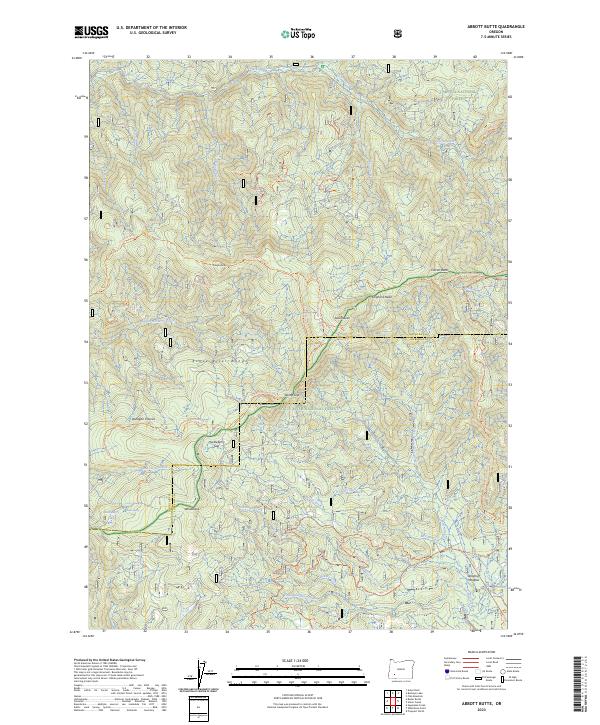
2023 Abbott Butte
Douglas County, OR
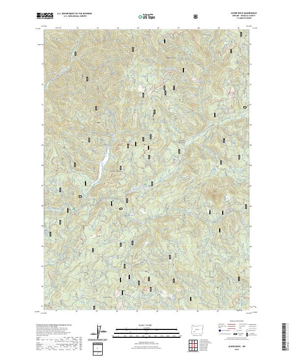
2023 Acker Rock
Douglas County, OR
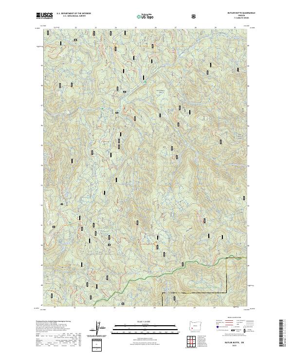
2023 Butler Butte
Douglas County, OR
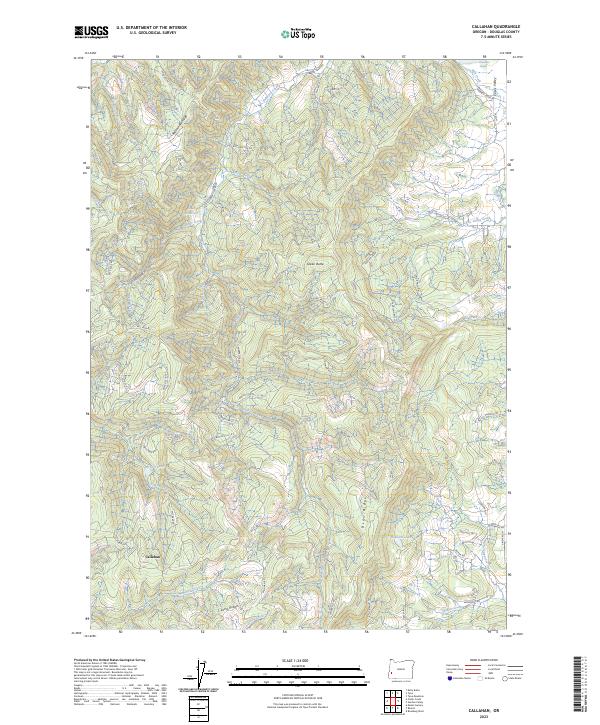
2023 Callahan
Douglas County, OR
2023 Cedar Creek
Douglas County, OR
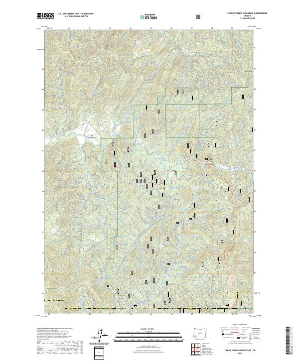
2023 Cedar Springs Mountain
Douglas County, OR
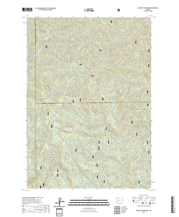
2023 Chilcoot Mountain
Douglas County, OR
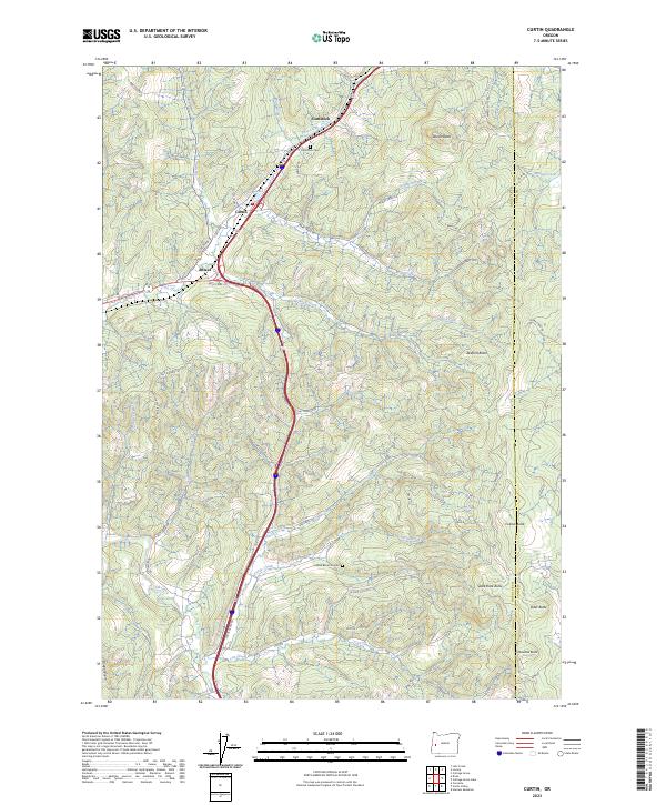
2023 Curtin
Douglas County, OR
2023 Deadman Mountain
Douglas County, OR
2023 Dixonville
Douglas County, OR
2023 Dodson Butte
Douglas County, OR
2023 Dumont Creek
Douglas County, OR
2023 Garden Valley
Douglas County, OR
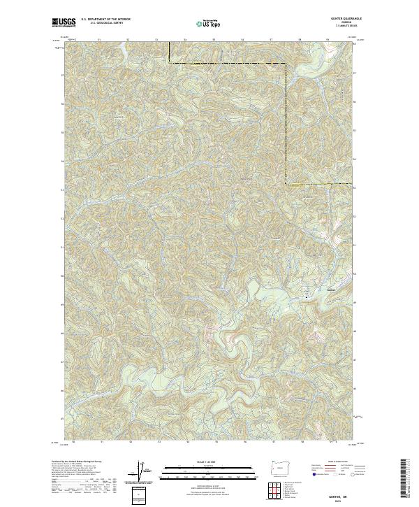
2023 Gunter
Douglas County, OR
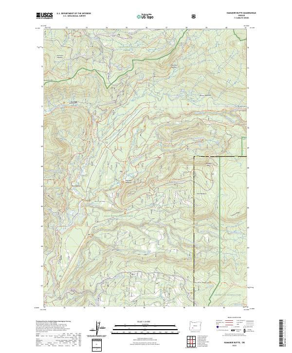
2023 Hamaker Butte
Douglas County, OR
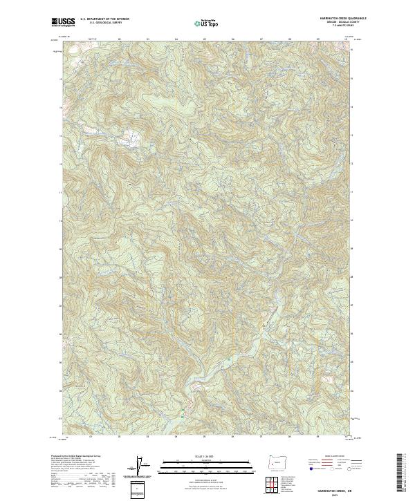
2023 Harrington Creek
Douglas County, OR
2023 Hinkle Creek
Douglas County, OR
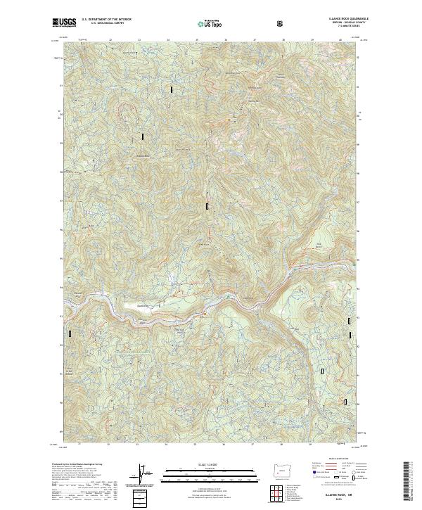
2023 Illahee Rock
Douglas County, OR
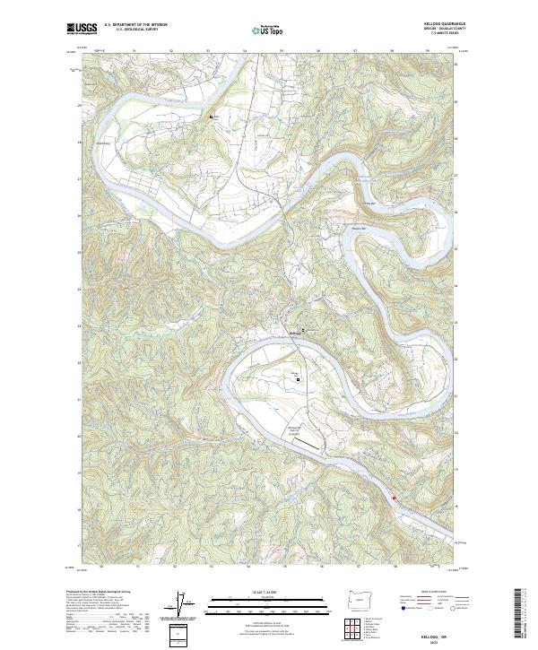
2023 Kellogg
Douglas County, OR
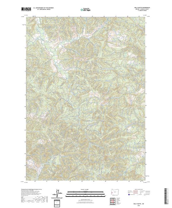
2023 Kelly Butte
Douglas County, OR
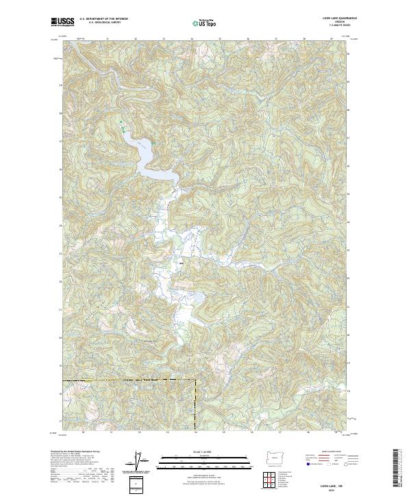
2023 Loon Lake
Douglas County, OR
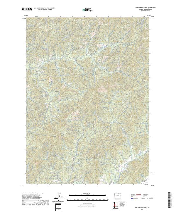
2023 McCullough Creek
Douglas County, OR
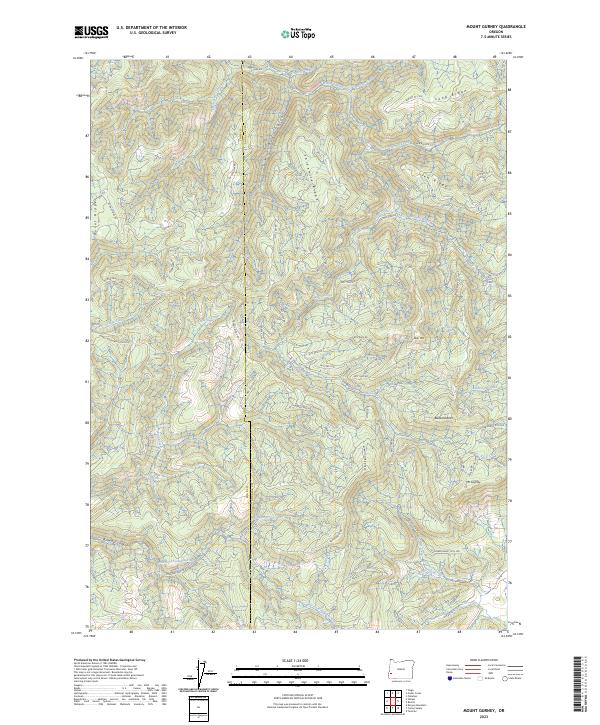
2023 Mount Gurney
Douglas County, OR
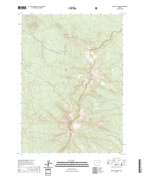
2023 Mount Thielsen
Douglas County, OR
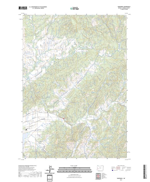
2023 Nonpareil
Douglas County, OR
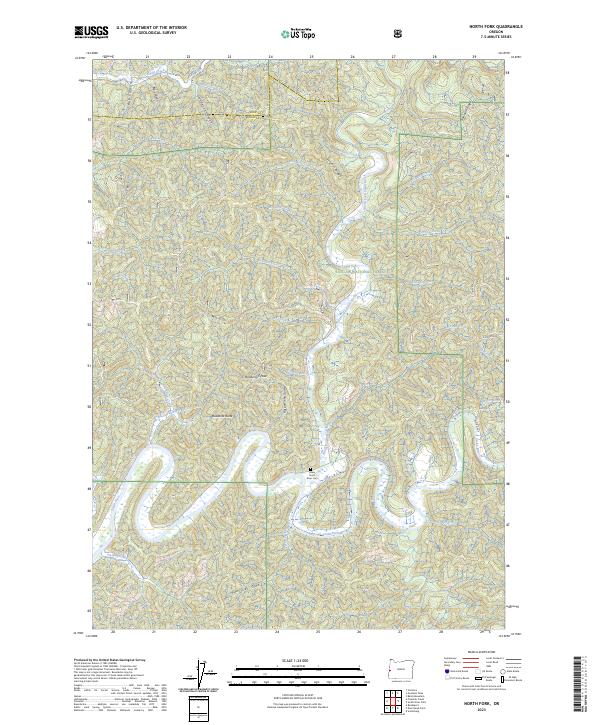
2023 North Fork
Douglas County, OR
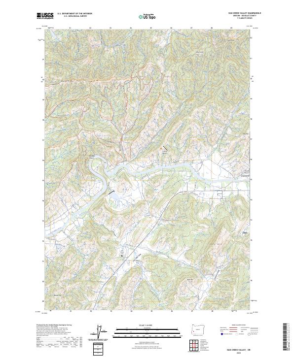
2023 Oak Creek Valley
Douglas County, OR
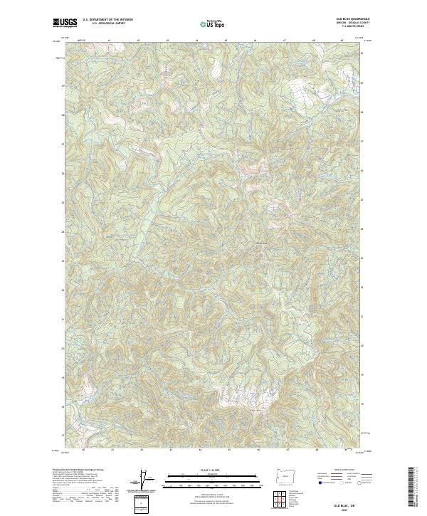
2023 Old Blue
Douglas County, OR
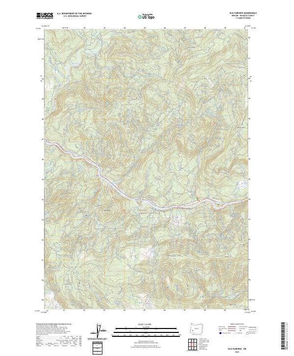
2023 Old Fairview
Douglas County, OR
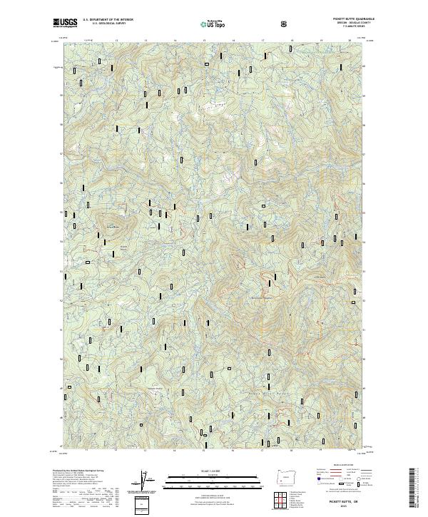
2023 Pickett Butte
Douglas County, OR
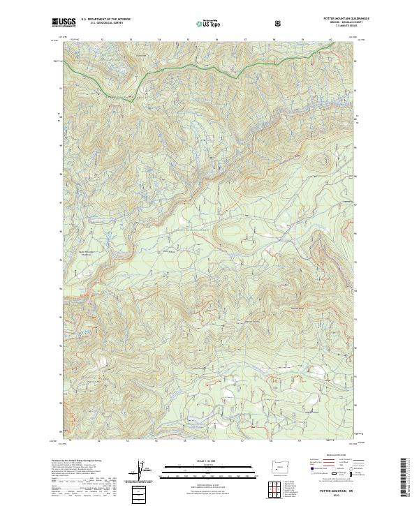
2023 Potter Mountain
Douglas County, OR
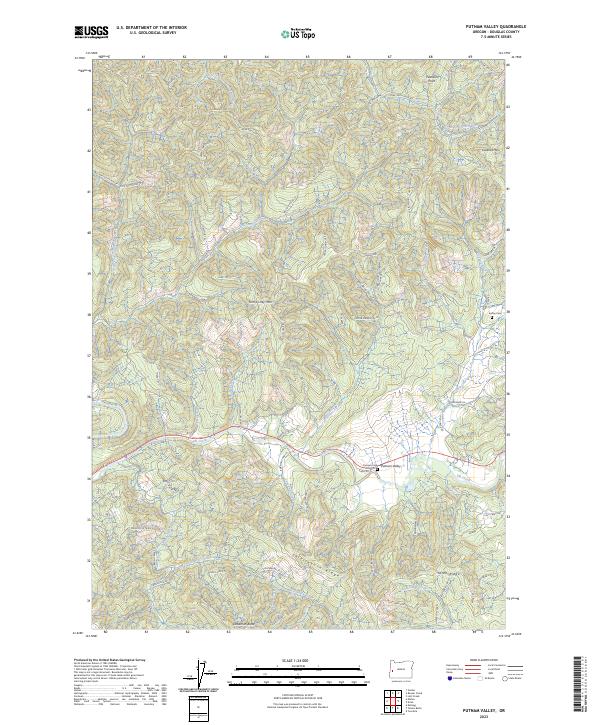
2023 Putnam Valley
Douglas County, OR
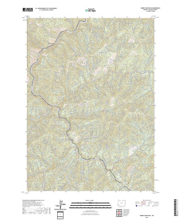
2023 Rabbit Mountain
Douglas County, OR
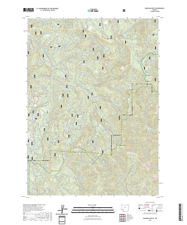
2023 Ragsdale Butte
Douglas County, OR
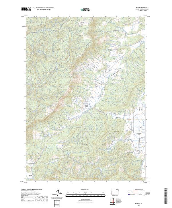
2023 Reston
Douglas County, OR
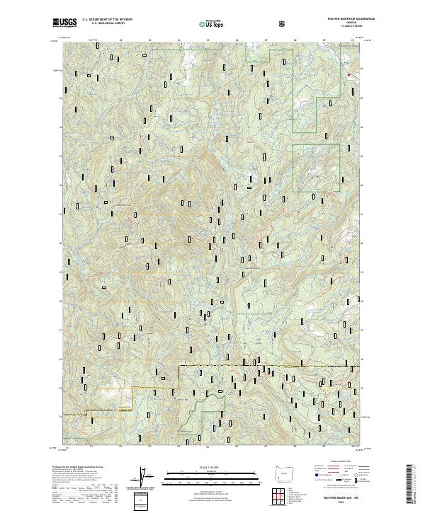
2023 Richter Mountain
Douglas County, OR
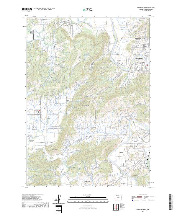
2023 Roseburg West
Douglas County, OR
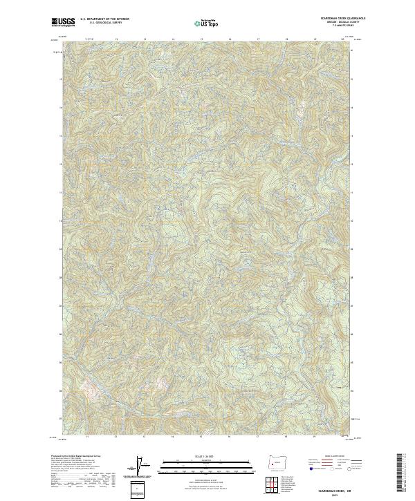
2023 Scaredman Creek
Douglas County, OR
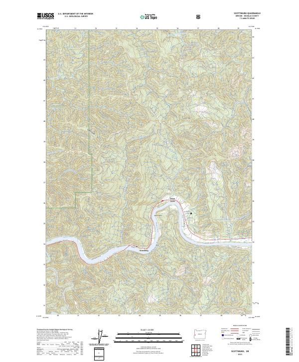
2023 Scottsburg
Douglas County, OR
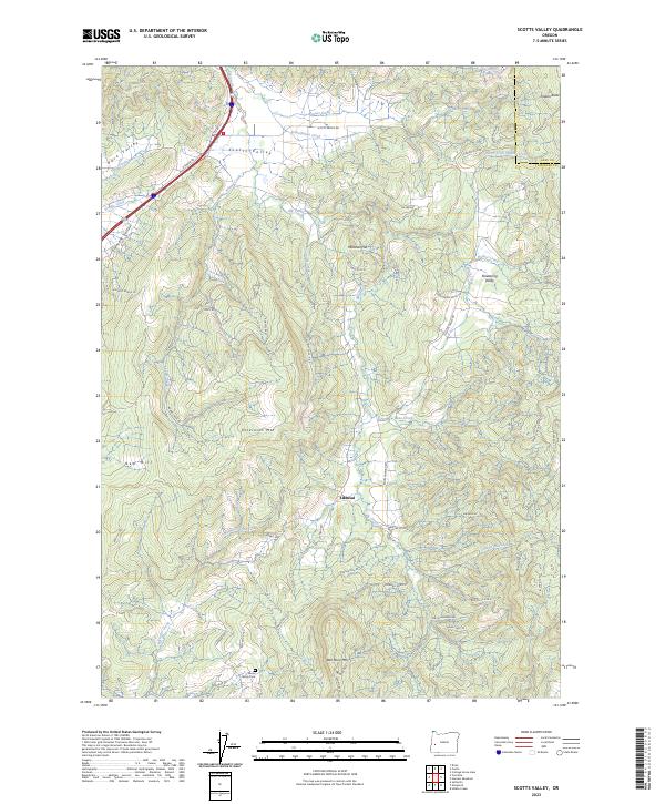
2023 Scotts Valley
Douglas County, OR
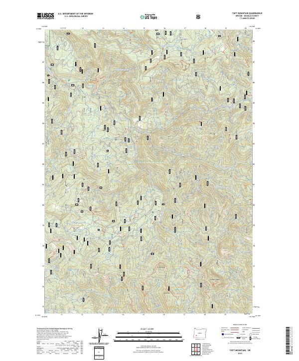
2023 Taft Mountain
Douglas County, OR
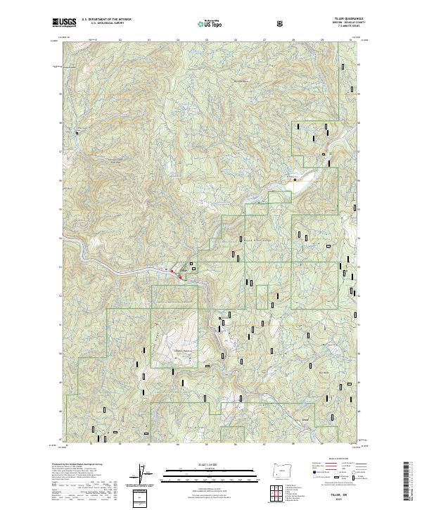
2023 Tiller
Douglas County, OR
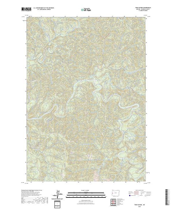
2023 Twin Sisters
Douglas County, OR
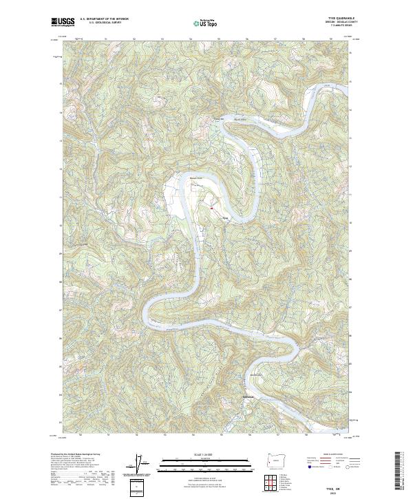
2023 Tyee
Douglas County, OR
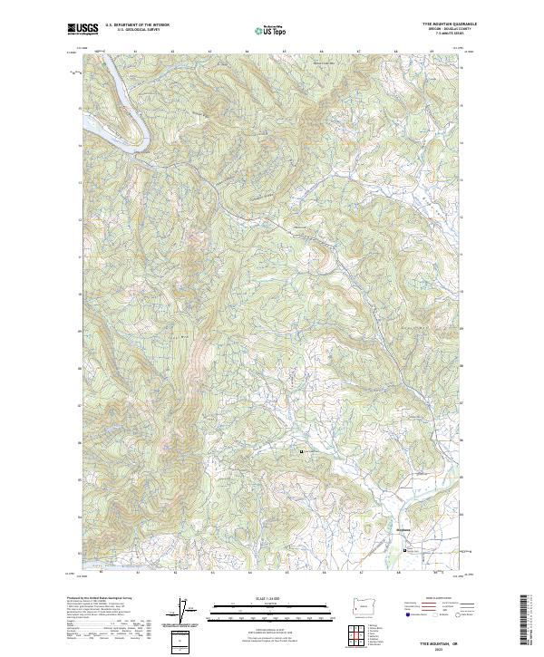
2023 Tyee Mountain
Douglas County, OR
2023 White Rock
Douglas County, OR
2023 Winchester
Douglas County, OR
2024 Buckeye Lake
Douglas County, OR
2024 Camas Valley
Douglas County, OR
2024 Chipmunk Ridge
Douglas County, OR
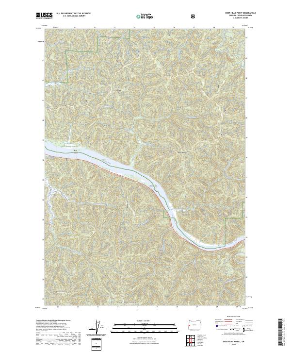
2024 Deer Head Point
Douglas County, OR
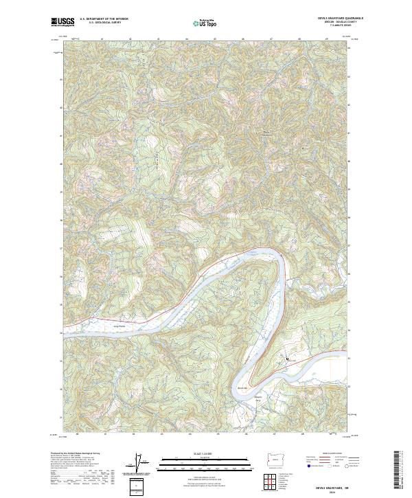
2024 Devils Graveyard
Douglas County, OR
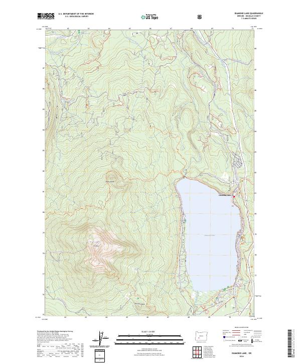
2024 Diamond Lake
Douglas County, OR
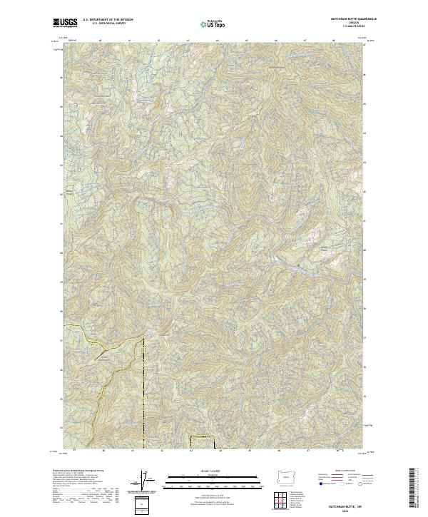
2024 Dutchman Butte
Douglas County, OR
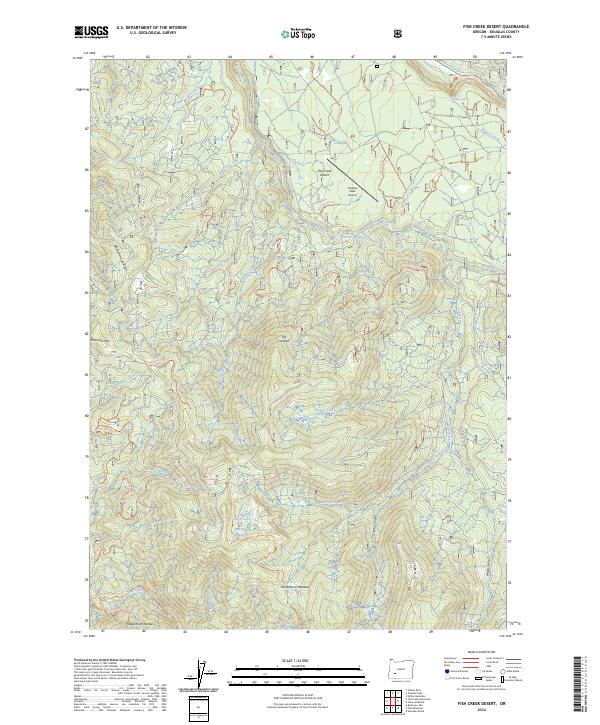
2024 Fish Creek Desert
Douglas County, OR
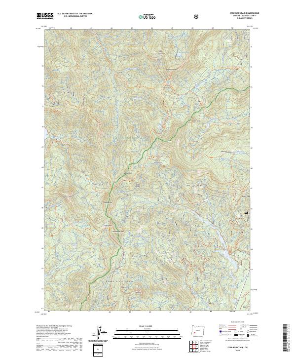
2024 Fish Mountain
Douglas County, OR
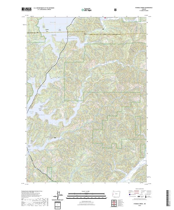
2024 Fivemile Creek
Douglas County, OR
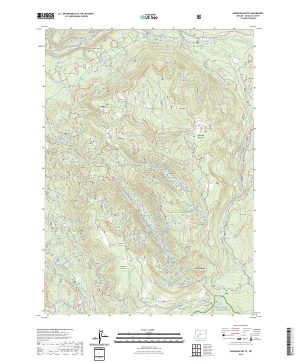
2024 Garwood Butte
Douglas County, OR
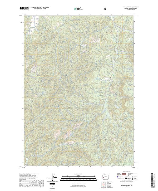
2024 Lane Mountain
Douglas County, OR
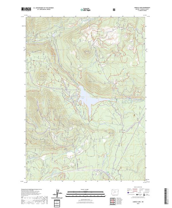
2024 Lemolo Lake
Douglas County, OR
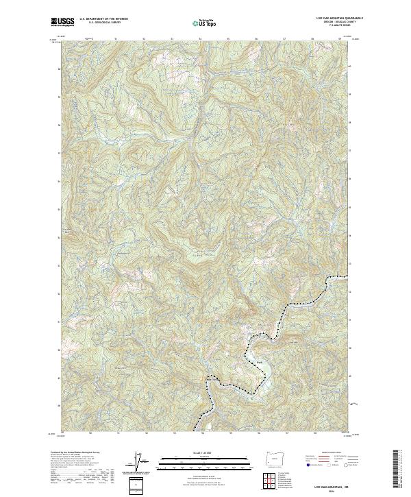
2024 Live Oak Mountain
Douglas County, OR
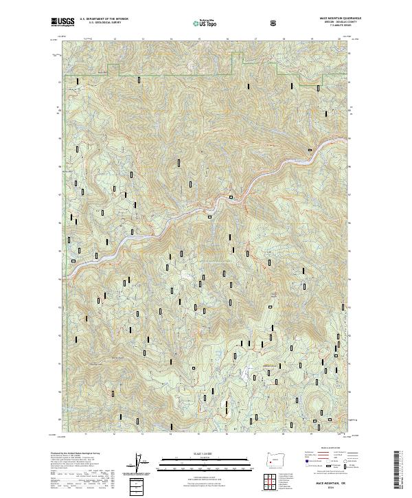
2024 Mace Mountain
Douglas County, OR
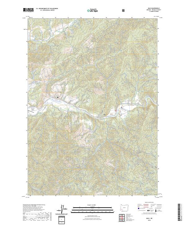
2024 Milo
Douglas County, OR
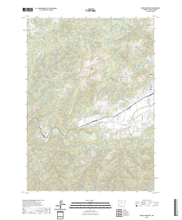
2024 Nickel Mountain
Douglas County, OR
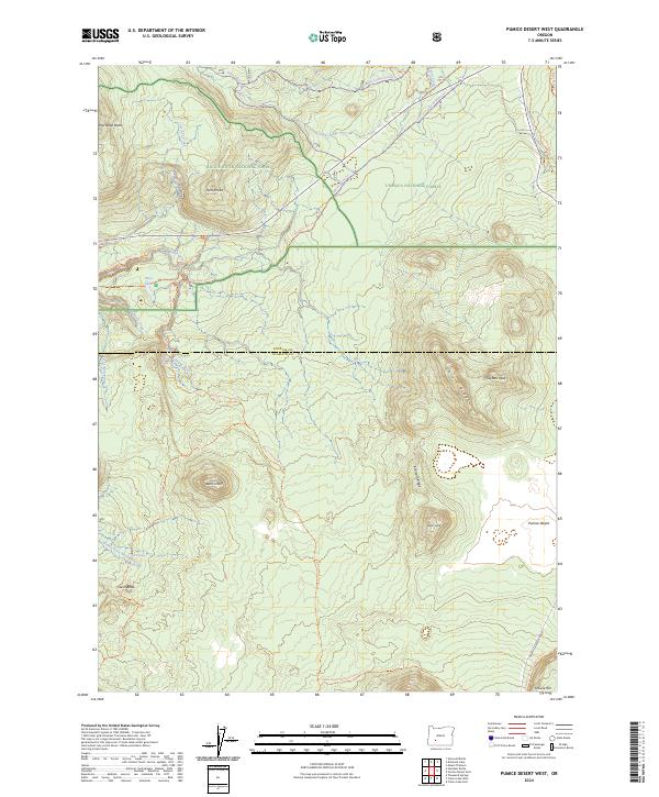
2024 Pumice Desert West
Douglas County, OR
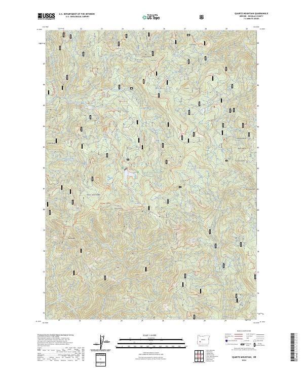
2024 Quartz Mountain
Douglas County, OR
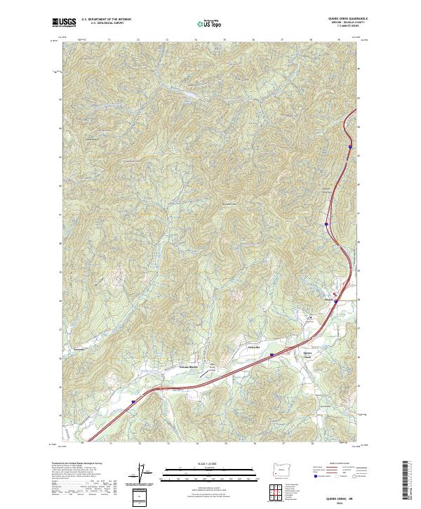
2024 Quines Creek
Douglas County, OR
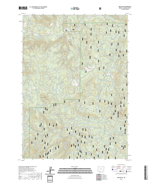
2024 Red Butte
Douglas County, OR
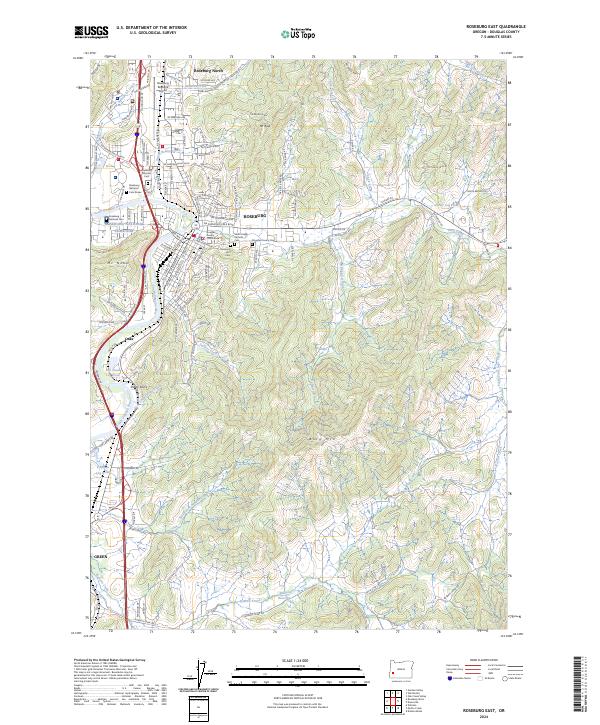
2024 Roseburg East
Douglas County, OR
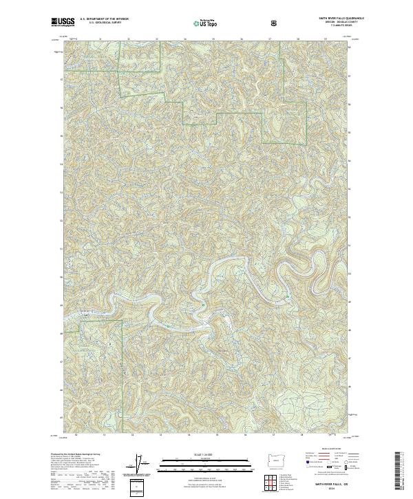
2024 Smith River Falls
Douglas County, OR
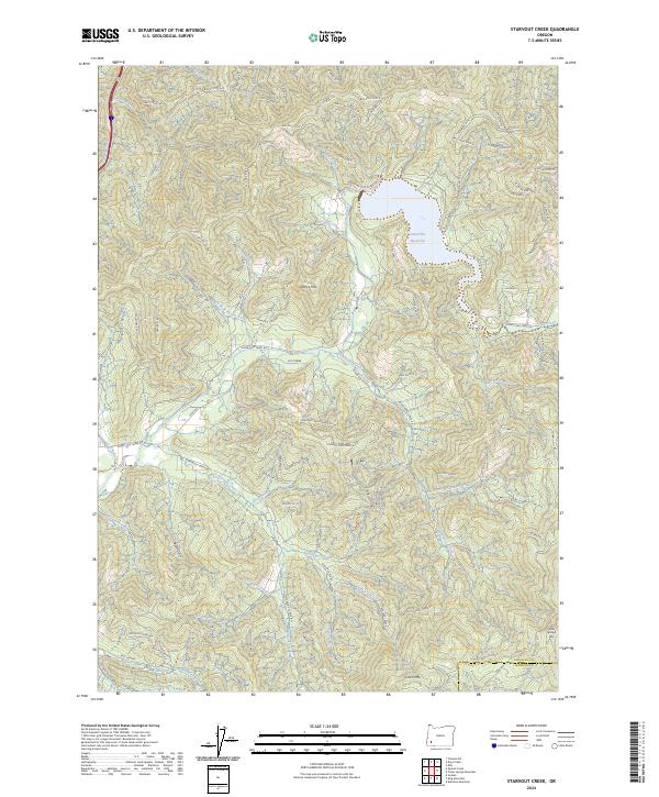
2024 Starvout Creek
Douglas County, OR
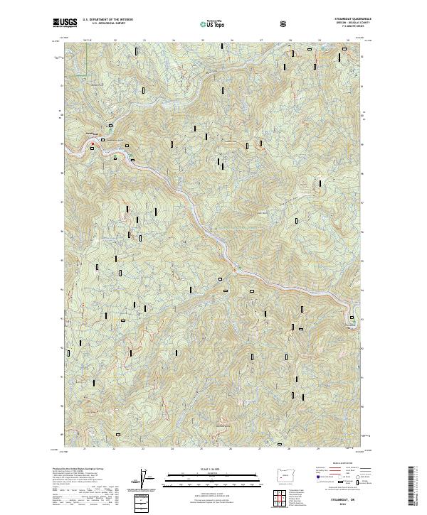
2024 Steamboat
Douglas County, OR
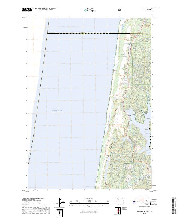
2024 Tahkenitch Creek
Douglas County, OR
2024 Tenmile
Douglas County, OR
2024 Toketee Falls
Douglas County, OR
2024 Tolo Mountain
Douglas County, OR
2024 Twin Lakes Mountain
Douglas County, OR
2024 Yellow Butte
Douglas County, OR