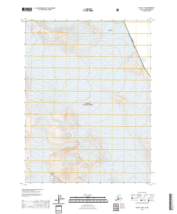
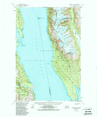
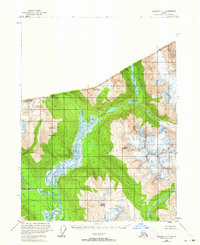
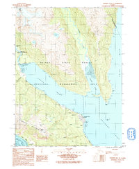
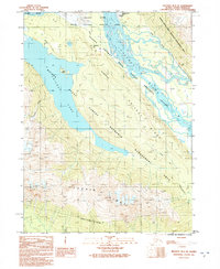
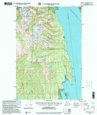
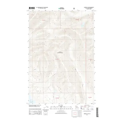
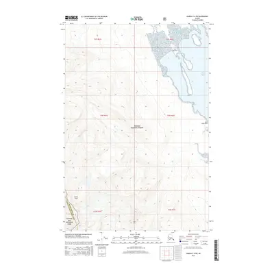
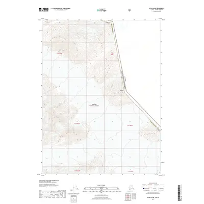
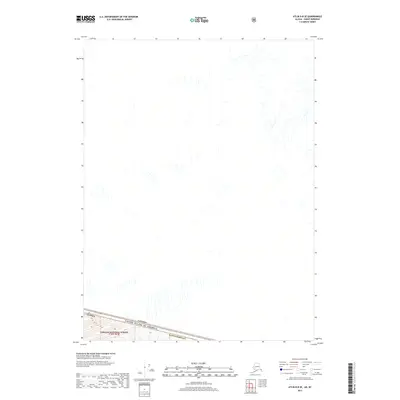
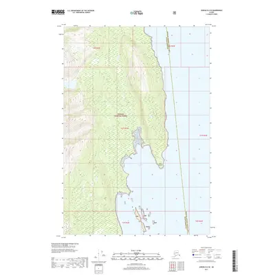
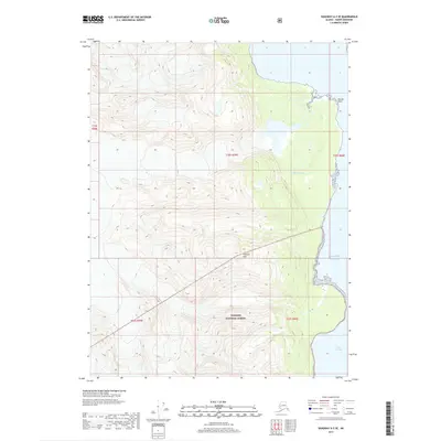
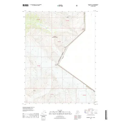
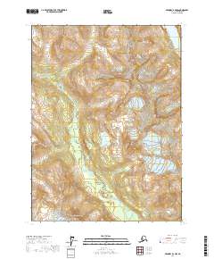
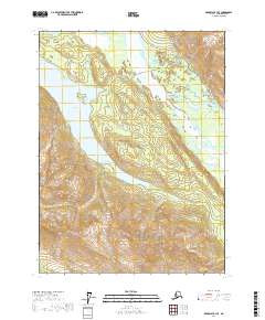
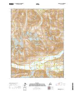
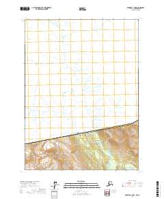
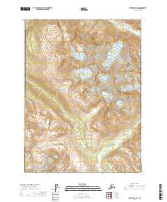
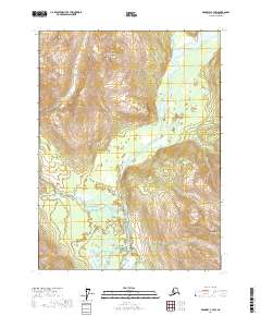
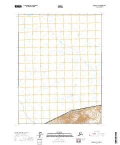
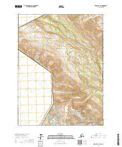
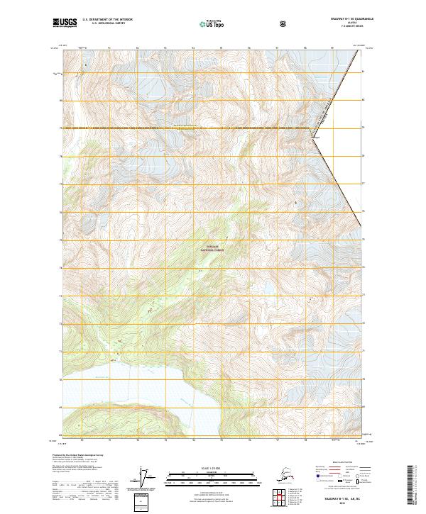
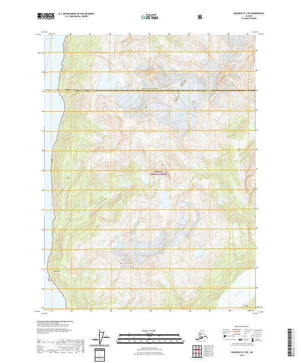
2021 Map of Atlin A-7 SW
USGS Topo · Published 2021About this map
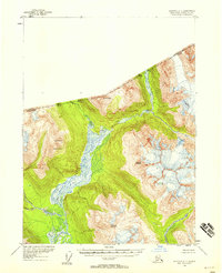
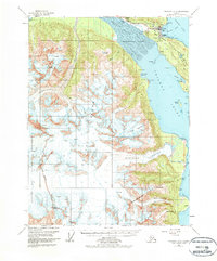
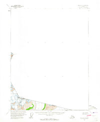
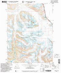
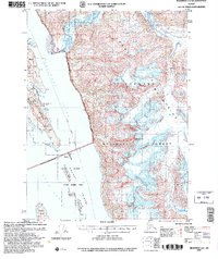
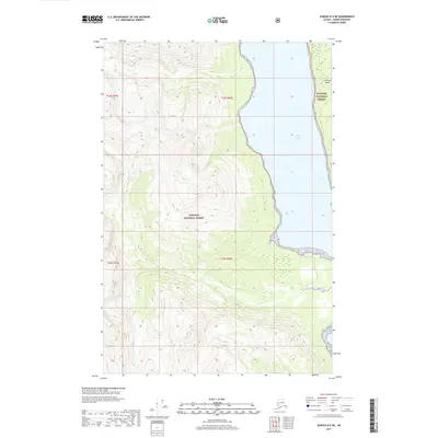
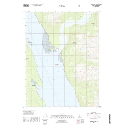
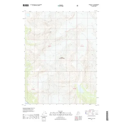
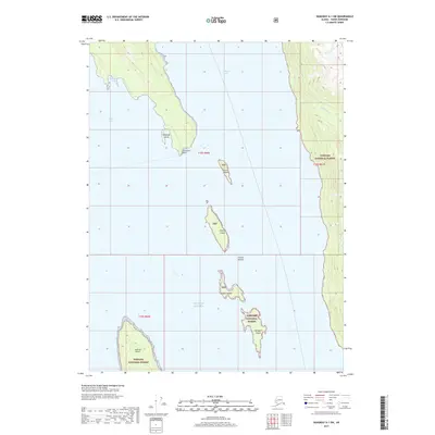
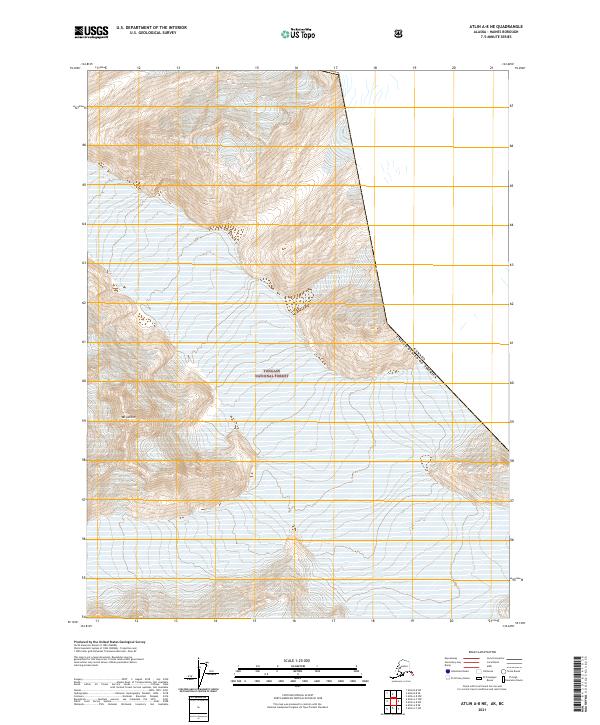
Meade Glacier dominates the southern landscape of this remote Alaskan terrain within the Tongass National Forest. Located along the rugged international boundary between the United States and Canada, this high-altitude survey captures a wilderness defined by massive ice fields and the high peaks of the Coast Mountains. The map provides a precise record of the glaciated topography near Mt Service, documenting the elevation and extent of the ice in the early twenty-first century. This data is critical for researchers tracking the movement and recession of coastal Alaskan glaciers and the shifting boundaries of the forest service lands in the Haines Borough region. The absence of roads or settlements emphasizes the extreme nature of this mountain environment, where the landscape is shaped entirely by ice and tectonic scale.
Find a feature on this map
9 named features on this map. Tap any name to fly to it.
Don’t see what you’re looking for? This feature index may not catch every label — zoom into the map to look around manually.
Map Details
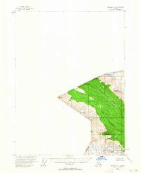
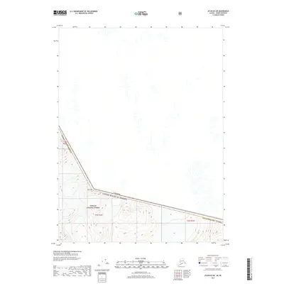
Editions of this 2021 Atlin A-7 SW Map
This is the sole edition of this map. No revisions or reprints were ever made.
Historical Maps of United States Through Time
133 maps found
1948 Juneau B-4
Haines Borough, AK
1948 Juneau C-4
Haines Borough, AK
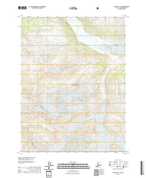
1948 Skagway A-1
Haines Borough, AK
1948 Skagway C-3
Haines Borough, AK
1948 Skagway C-4
Haines Borough, AK

1949 Atlin
Haines Borough, AK
1949 Juneau B-4
Haines Borough, AK
1949 Juneau C-4
Haines Borough, AK
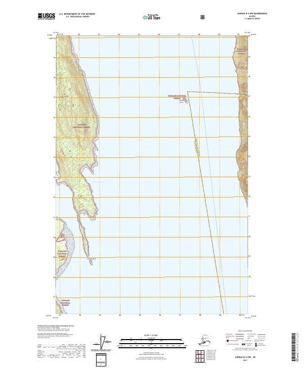
1949 Juneau D-4
Haines Borough, AK
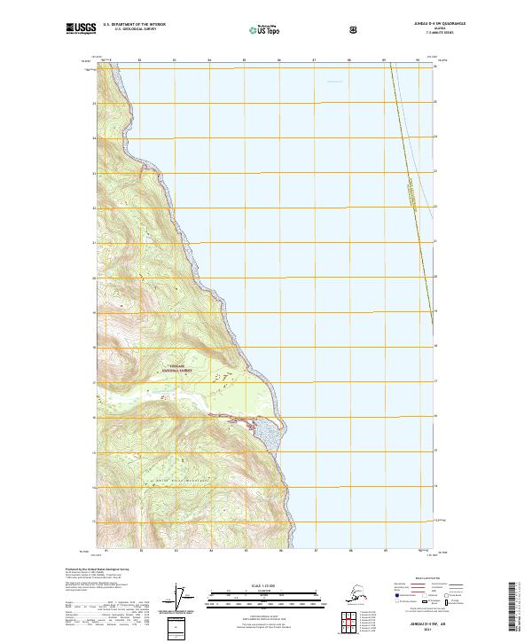
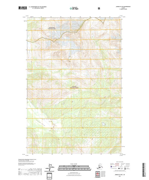
1949 Juneau D-5
Haines Borough, AK

1951 Atlin
Haines Borough, AK
1951 Juneau D-4
Haines Borough, AK
1951 Skagway A-1
Haines Borough, AK
1954 Skagway A-2
Haines Borough, AK
1954 Skagway B-2
Haines Borough, AK
1954 Skagway B-3
Haines Borough, AK
1954 Skagway B-4
Haines Borough, AK
1954 Skagway C-3
Haines Borough, AK
1954 Skagway C-4
Haines Borough, AK
1960 Atlin A-7
Haines Borough, AK
1960 Atlin A-8
Haines Borough, AK
1960 Atlin B-8
Haines Borough, AK
1960 Atlin
Haines Borough, AK
1991 Skagway A-1 NW
Haines Borough, AK

1991 Skagway A-2 NE
Haines Borough, AK
1991 Skagway B-1 SW
Haines Borough, AK
1991 Skagway B-2 SE
Haines Borough, AK
1991 Skagway B-2 SW
Haines Borough, AK
1991 Skagway B-3 NE
Haines Borough, AK
1991 Skagway B-3 NW
Haines Borough, AK
1991 Skagway B-3 SE
Haines Borough, AK
1991 Skagway B-3 SW
Haines Borough, AK
1992 Skagway B-4 NE
Haines Borough, AK
1992 Skagway B-4 NW
Haines Borough, AK
1996 Juneau B-4
Haines Borough, AK
1996 Juneau C-4
Haines Borough, AK
1996 Juneau D-5
Haines Borough, AK
2004 Atlin A-7
Haines Borough, AK
2004 Atlin A-8
Haines Borough, AK
2004 Skagway A-1
Haines Borough, AK

2004 Skagway A-2
Haines Borough, AK
2015 Juneau A-4 NW
Haines Borough, AK
2015 Juneau B-4 NW
Haines Borough, AK
2015 Juneau B-4 SW
Haines Borough, AK
2015 Juneau B-5 NE
Haines Borough, AK
2015 Juneau B-5 SE
Haines Borough, AK
2015 Juneau C-4 NW
Haines Borough, AK
2015 Juneau C-4 SW
Haines Borough, AK
2017 Atlin A-7 NW
Haines Borough, AK
2017 Atlin A-7 SE
Haines Borough, AK
2017 Atlin A-7 SW
Haines Borough, AK
2017 Atlin A-8 NE
Haines Borough, AK
2017 Atlin A-8 NW
Haines Borough, AK
2017 Atlin A-8 SE
Haines Borough, AK
2017 Atlin A-8 SW
Haines Borough, AK
2017 Atlin B-8 SE
Haines Borough, AK
2017 Atlin B-8 SW
Haines Borough, AK
2017 Juneau A-4 NE
Haines Borough, AK
2017 Juneau B-4 NE
Haines Borough, AK
2017 Juneau B-4 SE
Haines Borough, AK
2017 Juneau C-5 NE
Haines Borough, AK
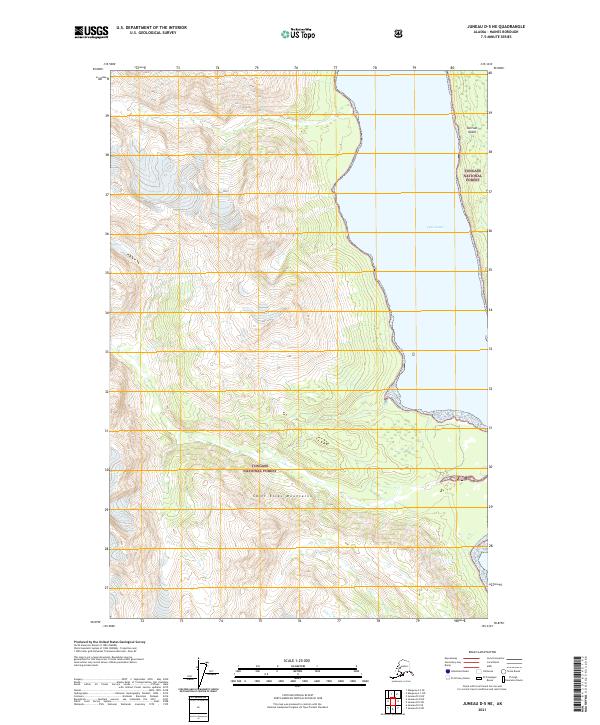
2017 Juneau D-4 NW
Haines Borough, AK
2017 Juneau D-4 SW
Haines Borough, AK
2017 Juneau D-5 NE
Haines Borough, AK
2017 Juneau D-5 SE
Haines Borough, AK
2017 Juneau D-5 SW
Haines Borough, AK
2017 Skagway A-1 NE
Haines Borough, AK
2017 Skagway A-1 NW
Haines Borough, AK
2017 Skagway A-1 SE
Haines Borough, AK
2017 Skagway A-1 SW
Haines Borough, AK

2017 Skagway A-2 NE
Haines Borough, AK
2017 Skagway A-2 NW
Haines Borough, AK
2017 Skagway A-2 SE
Haines Borough, AK
2017 Skagway A-2 SW
Haines Borough, AK
2017 Skagway A-3 NE
Haines Borough, AK
2017 Skagway A-3 NW
Haines Borough, AK
2017 Skagway B-1 NE
Haines Borough, AK
2017 Skagway B-1 SE
Haines Borough, AK
2017 Skagway B-1 SW
Haines Borough, AK
2017 Skagway B-2 NE
Haines Borough, AK
2017 Skagway B-2 NW
Haines Borough, AK

2017 Skagway B-2 SE
Haines Borough, AK
2017 Skagway B-2 SW
Haines Borough, AK
2017 Skagway B-3 NE
Haines Borough, AK
2017 Skagway B-3 NW
Haines Borough, AK
2017 Skagway B-3 SE
Haines Borough, AK
2017 Skagway B-3 SW
Haines Borough, AK
2017 Skagway B-4 NE
Haines Borough, AK
2017 Skagway B-4 NW
Haines Borough, AK
2017 Skagway B-4 SE
Haines Borough, AK
2017 Skagway B-4 SW
Haines Borough, AK
2017 Skagway C-2 SW
Haines Borough, AK
2017 Skagway C-3 NE
Haines Borough, AK
2017 Skagway C-3 NW
Haines Borough, AK
2017 Skagway C-3 SE
Haines Borough, AK
2017 Skagway C-3 SW
Haines Borough, AK
2017 Skagway C-4 NE
Haines Borough, AK
2017 Skagway C-4 SE
Haines Borough, AK
2017 Skagway C-4 SW
Haines Borough, AK
2021 Atlin A-7 NW
Haines Borough, AK
2021 Atlin A-7 SE
Haines Borough, AK
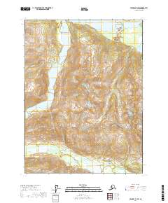
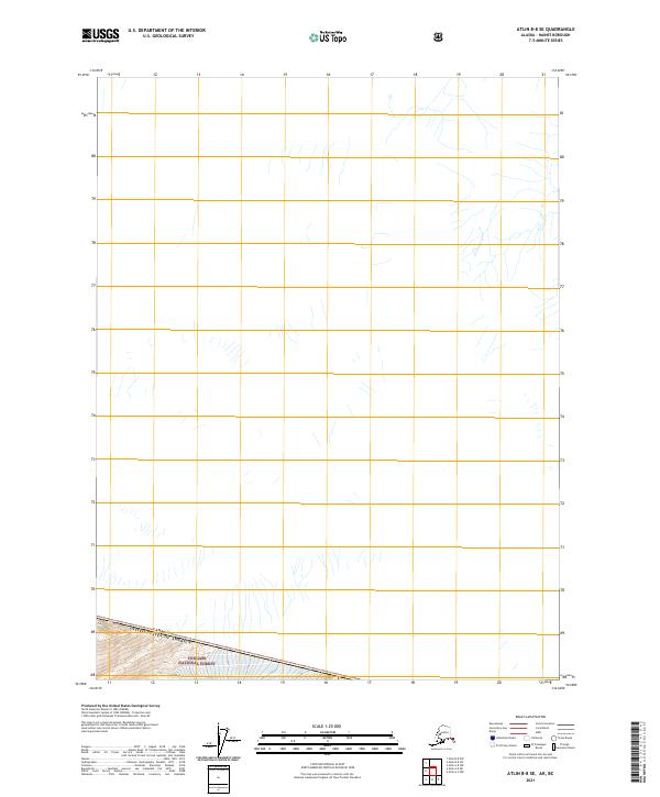
2021 Atlin A-7 SW
Haines Borough, AK
2021 Atlin A-8 NE
Haines Borough, AK
2021 Atlin A-8 NW
Haines Borough, AK
2021 Atlin A-8 SE
Haines Borough, AK
2021 Atlin A-8 SW
Haines Borough, AK
2021 Atlin B-8 SE
Haines Borough, AK
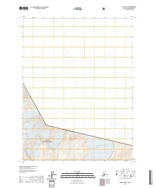
2021 Atlin B-8 SW
Haines Borough, AK
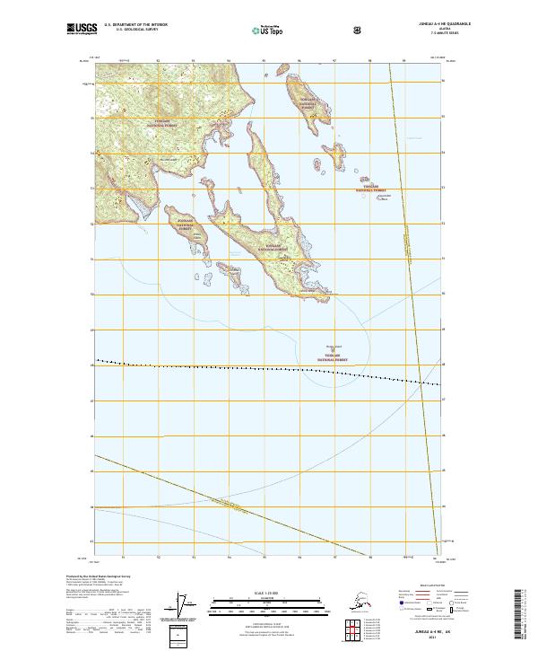
2021 Juneau A-4 NE
Haines Borough, AK
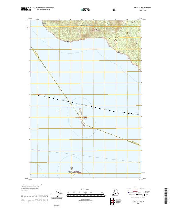
2021 Juneau A-4 NW
Haines Borough, AK
2021 Juneau B-4 NE
Haines Borough, AK
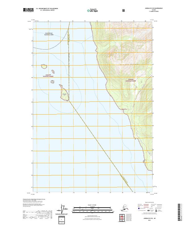
2021 Juneau B-4 NW
Haines Borough, AK
2021 Juneau B-4 SE
Haines Borough, AK

2021 Juneau B-4 SW
Haines Borough, AK
2021 Juneau B-5 NE
Haines Borough, AK
2021 Juneau B-5 SE
Haines Borough, AK
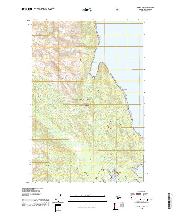
2021 Juneau C-4 NW
Haines Borough, AK
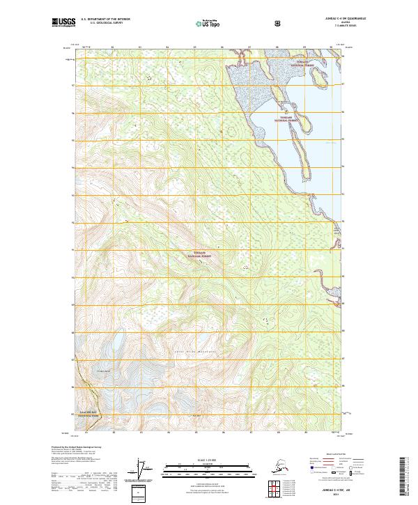
2021 Juneau C-4 SW
Haines Borough, AK
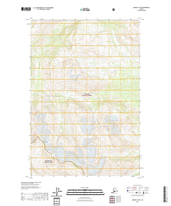
2021 Juneau C-5 NE
Haines Borough, AK
2021 Juneau D-4 NW
Haines Borough, AK
2021 Juneau D-4 SW
Haines Borough, AK
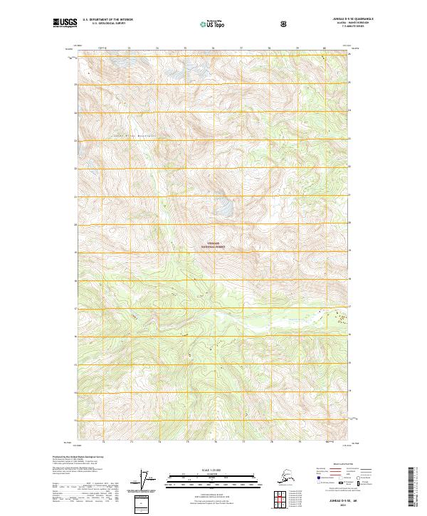
2021 Juneau D-5 NE
Haines Borough, AK
2021 Juneau D-5 SE
Haines Borough, AK
2021 Juneau D-5 SW
Haines Borough, AK
2021 Skagway A-1 NE
Haines Borough, AK
2021 Skagway A-1 NW
Haines Borough, AK
2021 Skagway A-1 SE
Haines Borough, AK
2021 Skagway A-1 SW
Haines Borough, AK
2021 Skagway A-2 SE
Haines Borough, AK
2021 Skagway A-2 SW
Haines Borough, AK
2021 Skagway B-1 NE
Haines Borough, AK
2021 Skagway B-1 SE
Haines Borough, AK
2021 Skagway B-1 SW
Haines Borough, AK