
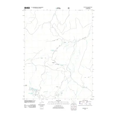
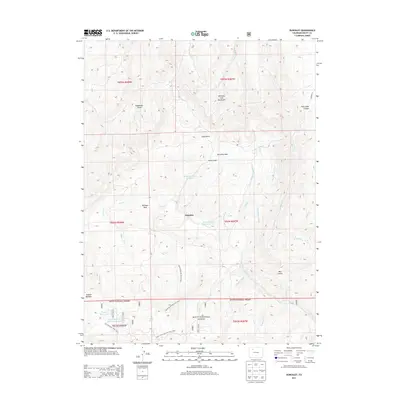
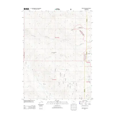
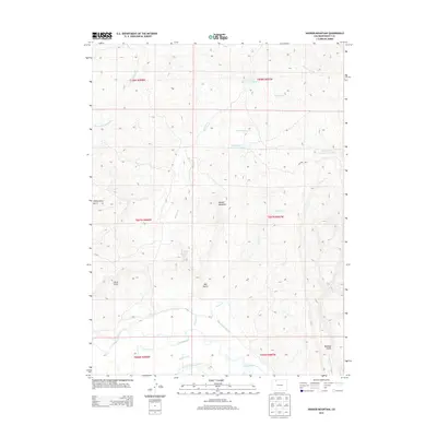
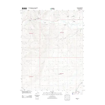
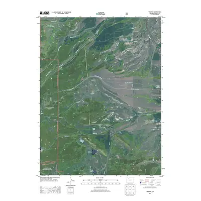
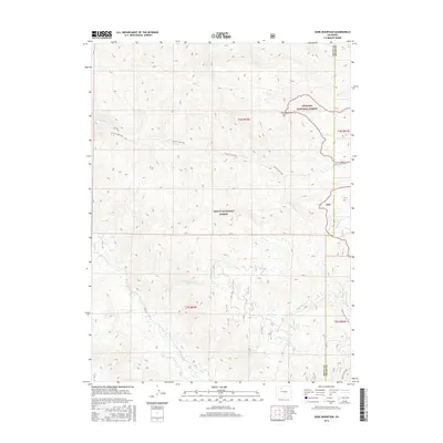
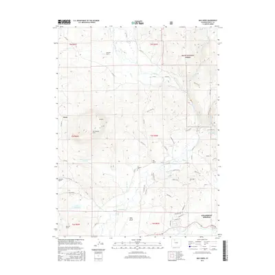
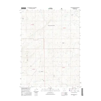
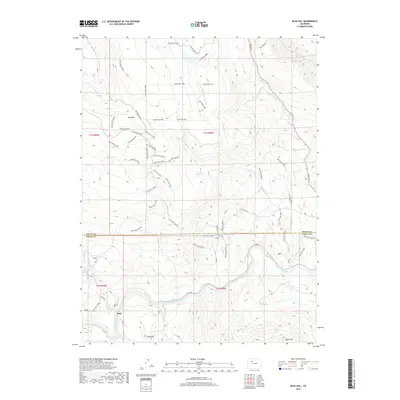
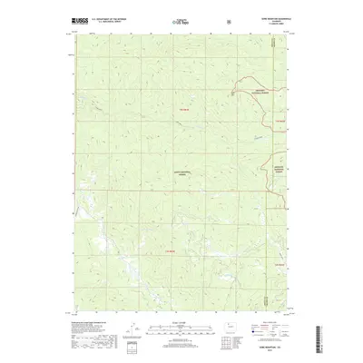
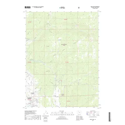
2022 Map of Mount Werner
USGS Topo · Published 2022About this map
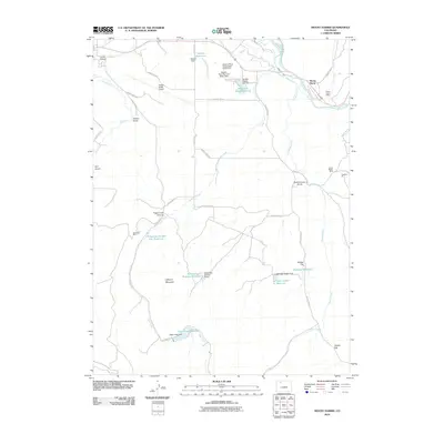
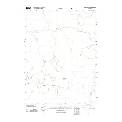
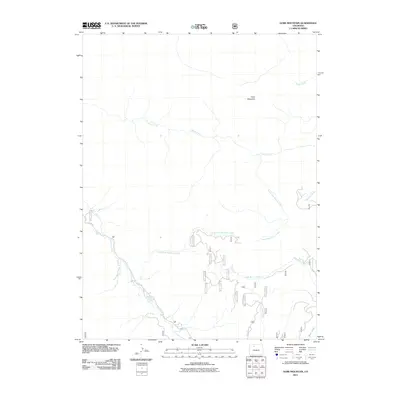
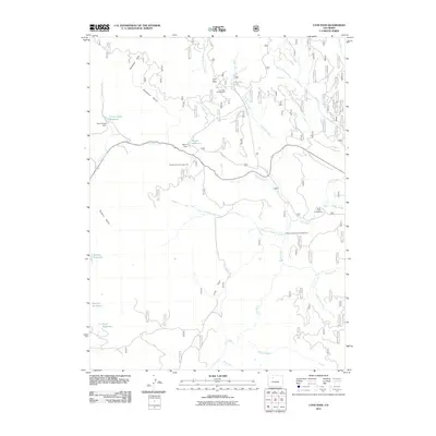
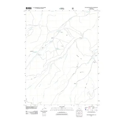
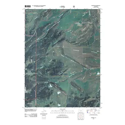
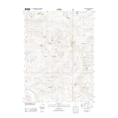
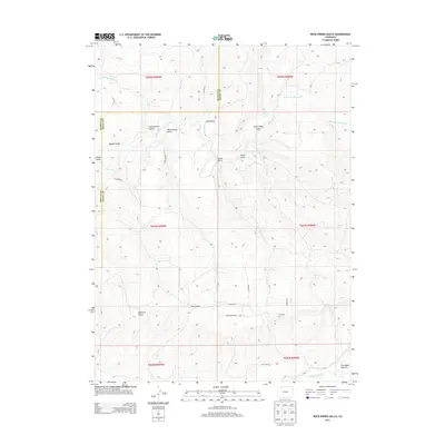
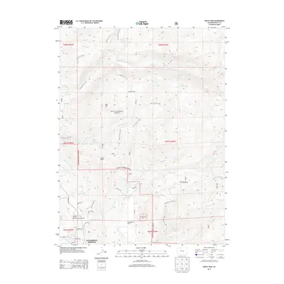
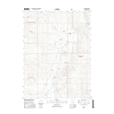
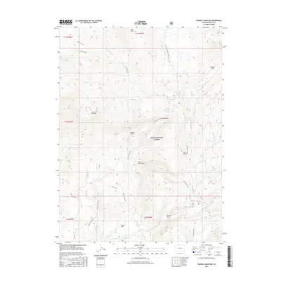
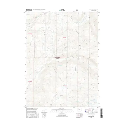
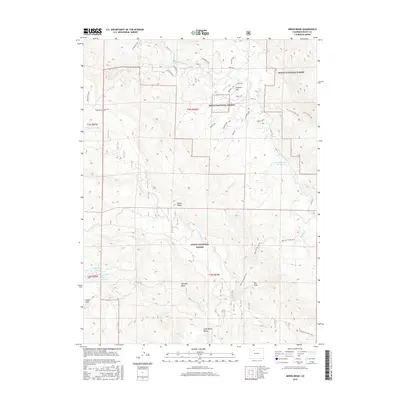
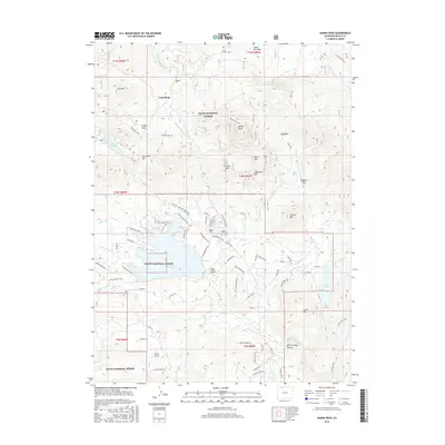
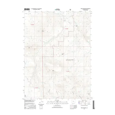
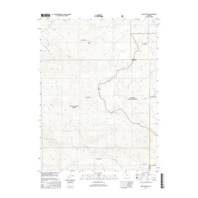
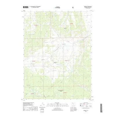
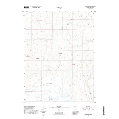
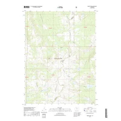
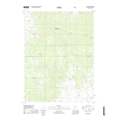
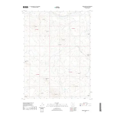
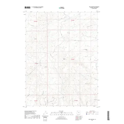
Routt National Forest encompasses the high-altitude landscape of the Park Range and Gore Range in this modern survey. The Continental Divide winds through the eastern portion of the map, separating the headwaters of western-flowing streams from the Colorado Creek drainage. High-mountain hydrology is the defining characteristic here, with numerous alpine lakes such as Fishhook Lake, Long Lake, and Lake Percy dotting the terrain. The presence of Fish Creek Reservoir in the north suggests significant water management within these protected lands. A complex network of backcountry routes, including the Continental Divide National Scenic Trail, Fish Creek Trail, and Mountain View Trail, provides access to the summits near Mt Werner. This quadrangle captures the convergence of Routt, Jackson, and Grand counties along the ridgelines of the divide.
Find a feature on this map
40 named features on this map. Tap any name to fly to it.
Don’t see what you’re looking for? This feature index may not catch every label — zoom into the map to look around manually.
Map Details
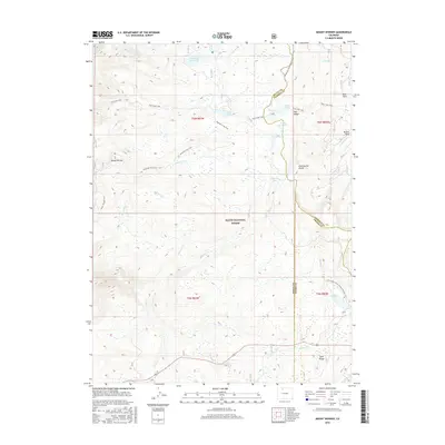
Editions of this 2022 Mount Werner Map
This is the sole edition of this map. No revisions or reprints were ever made.
Historical Maps of Routt County Through Time
239 maps found

1911 Hahns Peak
Routt County, CO

1913 Hahns Peak
Routt County, CO

1916 Daton Peak
Routt County, CO

1920 Daton Peak
Routt County, CO

1923 Pilot Knob
Routt County, CO

1924 Mount Harris
Routt County, CO

1925 Pilot Knob
Routt County, CO

1926 Mount Harris
Routt County, CO

1955 Mount Ethel
Routt County, CO

1955 Mount Zirkel
Routt County, CO

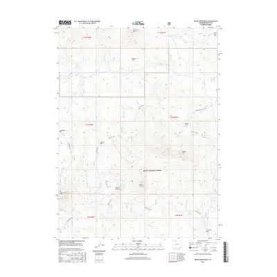
1956 Mount Werner
Routt County, CO

1956 Rabbit Ears Peak
Routt County, CO

1956 Walton Peak
Routt County, CO

1962 Bears Ears Peaks
Routt County, CO

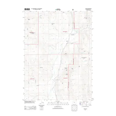
1962 Clark
Routt County, CO

1962 Elkhorn Mountain
Routt County, CO

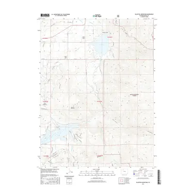
1962 Farwell Mountain
Routt County, CO

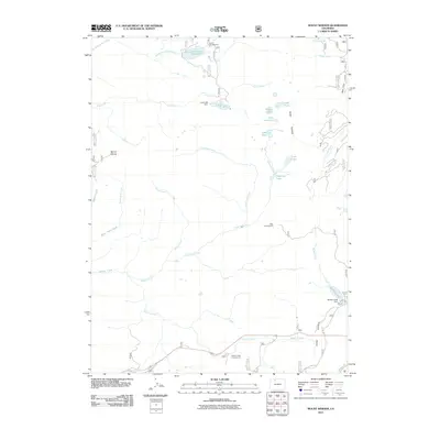
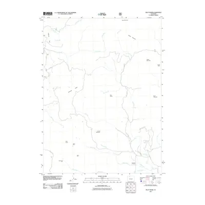
1962 Floyd Peak
Routt County, CO

1962 Hahns Peak
Routt County, CO

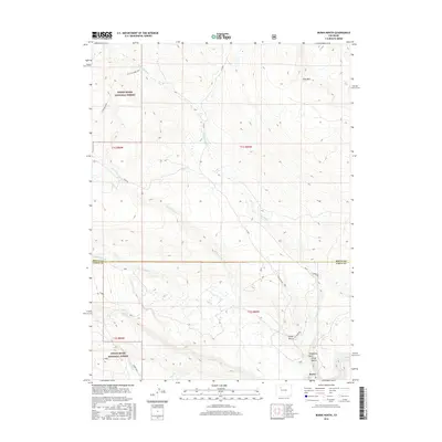
1962 Mad Creek
Routt County, CO

1962 Meaden Peak
Routt County, CO

1962 Rocky Peak
Routt County, CO

1962 Shield Mountain
Routt County, CO

1962 Tumble Mountain
Routt County, CO

1969 Blacktail Mountain
Routt County, CO

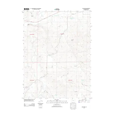
1969 Cow Creek
Routt County, CO

1971 Dunckley
Routt County, CO

1971 Hayden Gulch
Routt County, CO

1971 Hooker Mountain
Routt County, CO

1971 Milner
Routt County, CO

1971 Mount Harris
Routt County, CO

1971 Pilot Knob
Routt County, CO

1971 Quaker Mountain
Routt County, CO

1971 Rattlesnake Butte
Routt County, CO

1971 Rock Spring Gulch
Routt County, CO

1971 Wolf Mountain
Routt County, CO

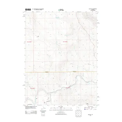
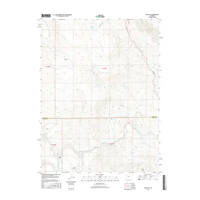
1972 Blue Hill
Routt County, CO

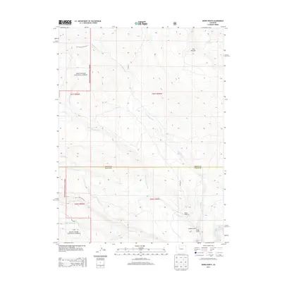
1972 Burns North
Routt County, CO

1972 Green Ridge
Routt County, CO

1972 Mc Coy
Routt County, CO

1972 Toponas
Routt County, CO

1972 Trapper
Routt County, CO

1980 Gore Mountain
Routt County, CO

1980 Lynx Pass
Routt County, CO

2000 Bears Ears Peaks
Routt County, CO

2000 Blacktail Mountain
Routt County, CO

2000 Clark
Routt County, CO

2000 Dunckley
Routt County, CO

2000 Elkhorn Mountain
Routt County, CO

2000 Farwell Mountain
Routt County, CO

2000 Floyd Peak
Routt County, CO

2000 Gore Mountain
Routt County, CO

2000 Green Ridge
Routt County, CO

2000 Hahns Peak
Routt County, CO

2000 Hayden Gulch
Routt County, CO

2000 Lynx Pass
Routt County, CO

2000 Mad Creek
Routt County, CO

2000 Meaden Peak
Routt County, CO

2000 Mount Ethel
Routt County, CO

2000 Mount Werner
Routt County, CO

2000 Mount Zirkel
Routt County, CO

2000 Pilot Knob
Routt County, CO

2000 Quaker Mountain
Routt County, CO

2000 Rattlesnake Butte
Routt County, CO

2000 Rocky Peak
Routt County, CO

2000 Shield Mountain
Routt County, CO

2000 Toponas
Routt County, CO

2000 Trapper
Routt County, CO

2000 Walton Peak
Routt County, CO
2010 Blue Hill
Routt County, CO
2010 Cow Creek
Routt County, CO
2010 Hooker Mountain
Routt County, CO
2010 Milner
Routt County, CO
2010 Mount Harris
Routt County, CO
2010 Rock Spring Gulch
Routt County, CO
2010 Tumble Mountain
Routt County, CO
2010 Wolf Mountain
Routt County, CO
2011 Bears Ears Peaks
Routt County, CO
2011 Blacktail Mountain
Routt County, CO
2011 Burns North
Routt County, CO
2011 Clark
Routt County, CO
2011 Dunckley
Routt County, CO
2011 Elkhorn Mountain
Routt County, CO
2011 Farwell Mountain
Routt County, CO
2011 Floyd Peak
Routt County, CO
2011 Gore Mountain
Routt County, CO
2011 Green Ridge
Routt County, CO
2011 Hahns Peak
Routt County, CO
2011 Hayden Gulch
Routt County, CO
2011 Lynx Pass
Routt County, CO
2011 Mad Creek
Routt County, CO
2011 Meaden Peak
Routt County, CO
2011 Mount Ethel
Routt County, CO
2011 Mount Werner
Routt County, CO
2011 Mount Zirkel
Routt County, CO
2011 Pilot Knob
Routt County, CO
2011 Quaker Mountain
Routt County, CO
2011 Rattlesnake Butte
Routt County, CO
2011 Rocky Peak
Routt County, CO
2011 Shield Mountain
Routt County, CO
2011 Toponas
Routt County, CO
2011 Trapper
Routt County, CO
2011 Walton Peak
Routt County, CO
2013 Bears Ears Peaks
Routt County, CO
2013 Blacktail Mountain
Routt County, CO
2013 Blue Hill
Routt County, CO
2013 Burns North
Routt County, CO
2013 Clark
Routt County, CO
2013 Cow Creek
Routt County, CO
2013 Dunckley
Routt County, CO
2013 Elkhorn Mountain
Routt County, CO
2013 Farwell Mountain
Routt County, CO
2013 Floyd Peak
Routt County, CO
2013 Gore Mountain
Routt County, CO
2013 Green Ridge
Routt County, CO
2013 Hahns Peak
Routt County, CO
2013 Hayden Gulch
Routt County, CO
2013 Hooker Mountain
Routt County, CO
2013 Lynx Pass
Routt County, CO
2013 Mad Creek
Routt County, CO
2013 Meaden Peak
Routt County, CO
2013 Milner
Routt County, CO
2013 Mount Ethel
Routt County, CO
2013 Mount Harris
Routt County, CO
2013 Mount Werner
Routt County, CO
2013 Mount Zirkel
Routt County, CO
2013 Pilot Knob
Routt County, CO
2013 Quaker Mountain
Routt County, CO
2013 Rattlesnake Butte
Routt County, CO
2013 Rock Spring Gulch
Routt County, CO
2013 Rocky Peak
Routt County, CO
2013 Shield Mountain
Routt County, CO
2013 Toponas
Routt County, CO
2013 Trapper
Routt County, CO
2013 Tumble Mountain
Routt County, CO
2013 Walton Peak
Routt County, CO
2013 Wolf Mountain
Routt County, CO
2016 Bears Ears Peaks
Routt County, CO
2016 Blacktail Mountain
Routt County, CO
2016 Blue Hill
Routt County, CO
2016 Burns North
Routt County, CO
2016 Clark
Routt County, CO
2016 Cow Creek
Routt County, CO
2016 Dunckley
Routt County, CO
2016 Elkhorn Mountain
Routt County, CO
2016 Farwell Mountain
Routt County, CO
2016 Floyd Peak
Routt County, CO
2016 Gore Mountain
Routt County, CO
2016 Green Ridge
Routt County, CO
2016 Hahns Peak
Routt County, CO
2016 Hayden Gulch
Routt County, CO
2016 Hooker Mountain
Routt County, CO
2016 Lynx Pass
Routt County, CO
2016 Mad Creek
Routt County, CO
2016 Meaden Peak
Routt County, CO
2016 Milner
Routt County, CO
2016 Mount Ethel
Routt County, CO
2016 Mount Harris
Routt County, CO
2016 Mount Werner
Routt County, CO
2016 Mount Zirkel
Routt County, CO
2016 Pilot Knob
Routt County, CO
2016 Quaker Mountain
Routt County, CO
2016 Rattlesnake Butte
Routt County, CO
2016 Rock Spring Gulch
Routt County, CO
2016 Rocky Peak
Routt County, CO
2016 Shield Mountain
Routt County, CO
2016 Toponas
Routt County, CO
2016 Trapper
Routt County, CO
2016 Tumble Mountain
Routt County, CO
2016 Walton Peak
Routt County, CO
2016 Wolf Mountain
Routt County, CO
2019 Bears Ears Peaks
Routt County, CO
2019 Blacktail Mountain
Routt County, CO
2019 Blue Hill
Routt County, CO
2019 Burns North
Routt County, CO
2019 Clark
Routt County, CO
2019 Cow Creek
Routt County, CO
2019 Dunckley
Routt County, CO
2019 Elkhorn Mountain
Routt County, CO
2019 Farwell Mountain
Routt County, CO
2019 Floyd Peak
Routt County, CO
2019 Gore Mountain
Routt County, CO
2019 Green Ridge
Routt County, CO
2019 Hahns Peak
Routt County, CO
2019 Hayden Gulch
Routt County, CO
2019 Hooker Mountain
Routt County, CO
2019 Lynx Pass
Routt County, CO

2019 Mad Creek
Routt County, CO
2019 Meaden Peak
Routt County, CO
2019 Milner
Routt County, CO
2019 Mount Ethel
Routt County, CO
2019 Mount Harris
Routt County, CO
2019 Mount Werner
Routt County, CO
2019 Mount Zirkel
Routt County, CO
2019 Pilot Knob
Routt County, CO
2019 Quaker Mountain
Routt County, CO
2019 Rattlesnake Butte
Routt County, CO
2019 Rock Spring Gulch
Routt County, CO
2019 Rocky Peak
Routt County, CO
2019 Shield Mountain
Routt County, CO
2019 Toponas
Routt County, CO
2019 Trapper
Routt County, CO
2019 Tumble Mountain
Routt County, CO
2019 Walton Peak
Routt County, CO
2019 Wolf Mountain
Routt County, CO

2022 Bears Ears Peaks
Routt County, CO

2022 Blacktail Mountain
Routt County, CO

2022 Blue Hill
Routt County, CO

2022 Burns North
Routt County, CO

2022 Clark
Routt County, CO

2022 Cow Creek
Routt County, CO

2022 Dunckley
Routt County, CO

2022 Elkhorn Mountain
Routt County, CO

2022 Farwell Mountain
Routt County, CO

2022 Floyd Peak
Routt County, CO

2022 Gore Mountain
Routt County, CO

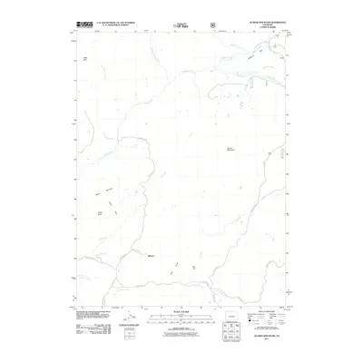
2022 Green Ridge
Routt County, CO

2022 Hahns Peak
Routt County, CO

2022 Hayden Gulch
Routt County, CO

2022 Hooker Mountain
Routt County, CO

2022 Lynx Pass
Routt County, CO

2022 Mad Creek
Routt County, CO

2022 Meaden Peak
Routt County, CO

2022 Milner
Routt County, CO

2022 Mount Ethel
Routt County, CO

2022 Mount Harris
Routt County, CO
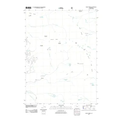
2022 Mount Werner
Routt County, CO

2022 Mount Zirkel
Routt County, CO

2022 Pilot Knob
Routt County, CO

2022 Quaker Mountain
Routt County, CO

2022 Rattlesnake Butte
Routt County, CO

2022 Rock Spring Gulch
Routt County, CO

2022 Rocky Peak
Routt County, CO

2022 Shield Mountain
Routt County, CO

2022 Toponas
Routt County, CO

2022 Trapper
Routt County, CO

2022 Walton Peak
Routt County, CO

2022 Wolf Mountain
Routt County, CO

2023 Tumble Mountain
Routt County, CO