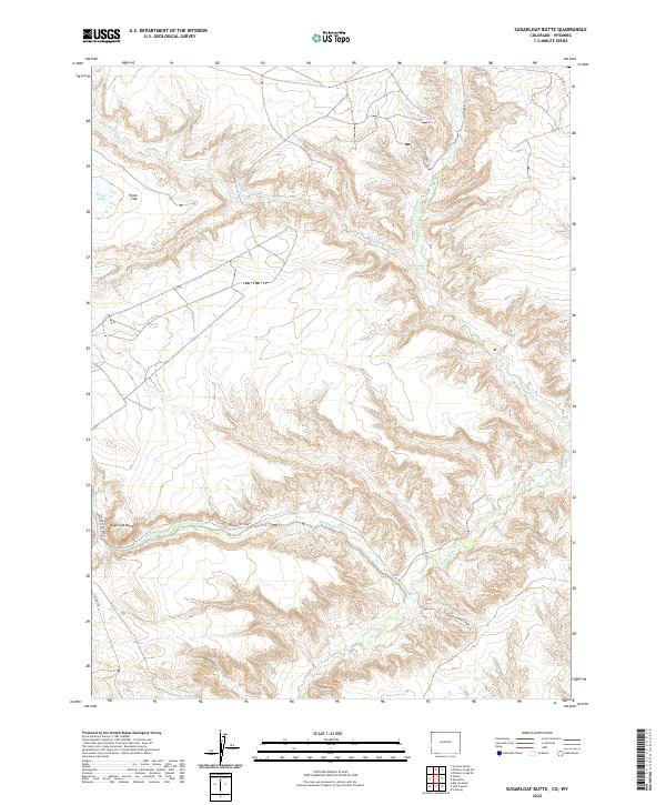
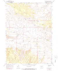
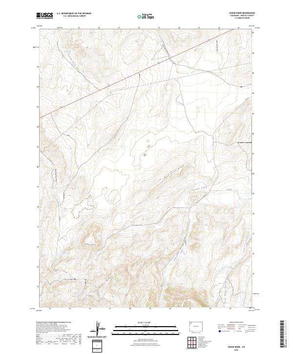
2022 Map of Sugarloaf Butte
USGS Topo · Published 2022About this map
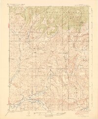
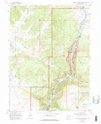
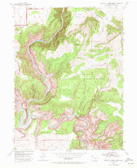
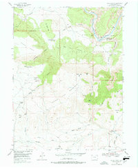
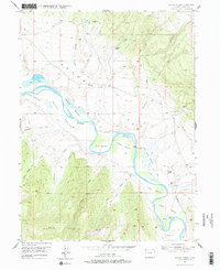
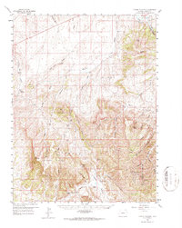
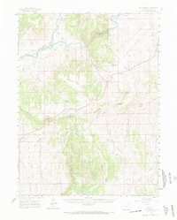
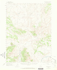
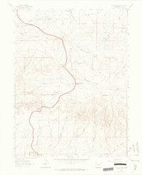
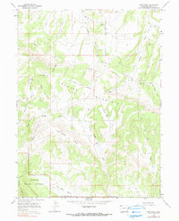
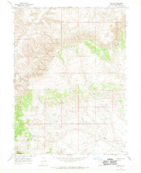
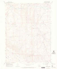
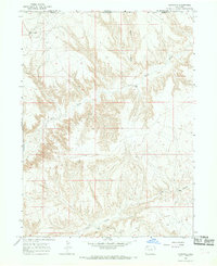
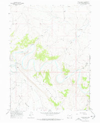
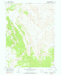
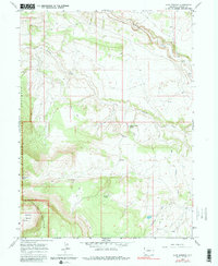
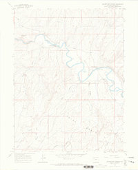
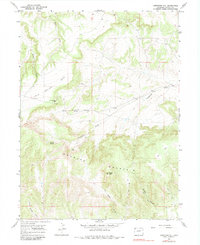
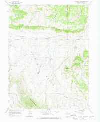
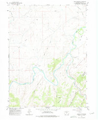
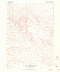
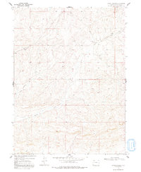
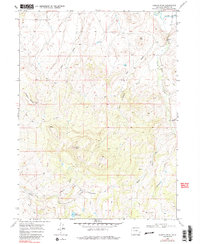
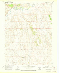
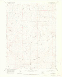
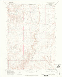
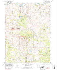
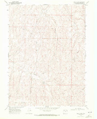
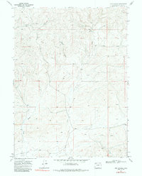
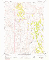
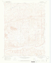
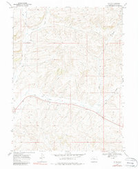
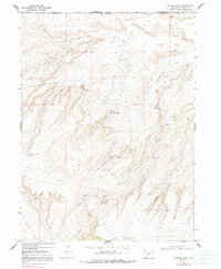
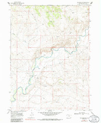
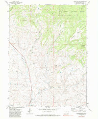
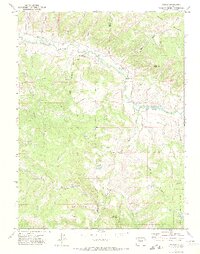
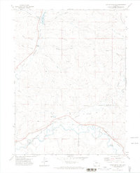
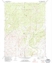
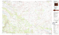
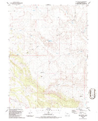
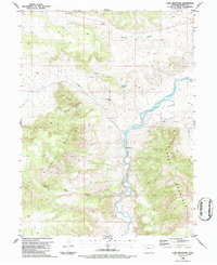
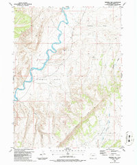
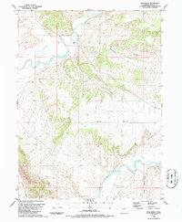
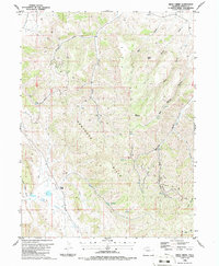
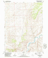
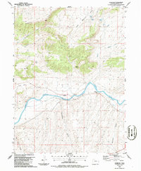
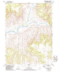
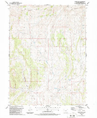
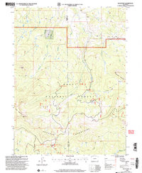
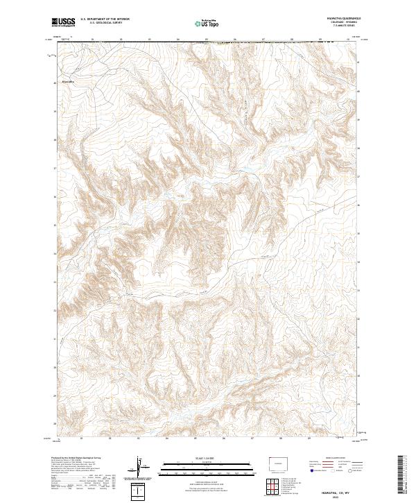
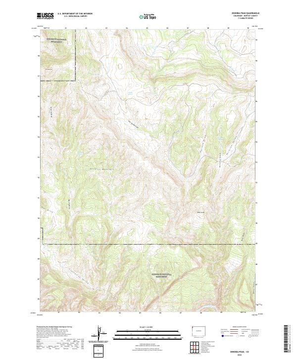
Sugarloaf Butte rises as a prominent landmark in this corner of Moffat County, where the high desert terrain is defined by deep drainages and isolated water sources. The landscape is carved by the winding paths of Talamantes Creek, Vermillion Cr, and Canyon Cr, which dictate the movement across this arid territory. Human activity is sparse and primarily limited to the periphery, with Co Rd 4 and Co Rd 10N providing the only primary access through the region. Small, distinctive water features like Fonce Lake and the curiously named G Lake serve as critical points for local geography. The presence of Fonce Flat suggests the varying elevations that characterize this portion of the Colorado-Wyoming borderlands, a region traditionally used for open-range grazing and resource management.
Find a feature on this map
14 named features on this map. Tap any name to fly to it.
Don’t see what you’re looking for? This feature index may not catch every label — zoom into the map to look around manually.
Map Details
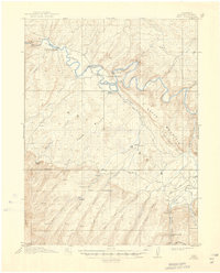
Editions of this 2022 Sugarloaf Butte Map
This is the sole edition of this map. No revisions or reprints were ever made.
Historical Maps of Offield Place Through Time
174 maps found

1910 Danforth Hills
Moffat County, CO

1912 Axial
Moffat County, CO
1914 Axial
Moffat County, CO
1915 Monument Butte
Moffat County, CO
1923 Elkhead Creek
Moffat County, CO
1924 Elkhead Creek
Moffat County, CO
1954 Canyon Of Lodore North
Moffat County, CO
1954 Canyon Of Lodore South
Moffat County, CO
1954 Hells Canyon
Moffat County, CO
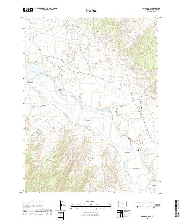
1954 Lodore School
Moffat County, CO
1958 Citadel Plateau
Moffat County, CO
1960 Elk Springs
Moffat County, CO
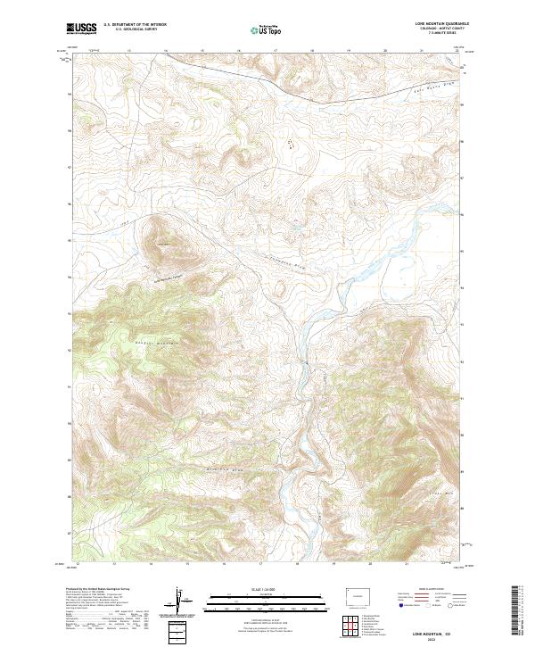
1960 Lone Mountain
Moffat County, CO
1962 Haystack Rock
Moffat County, CO
1962 Indian Water Canyon
Moffat County, CO
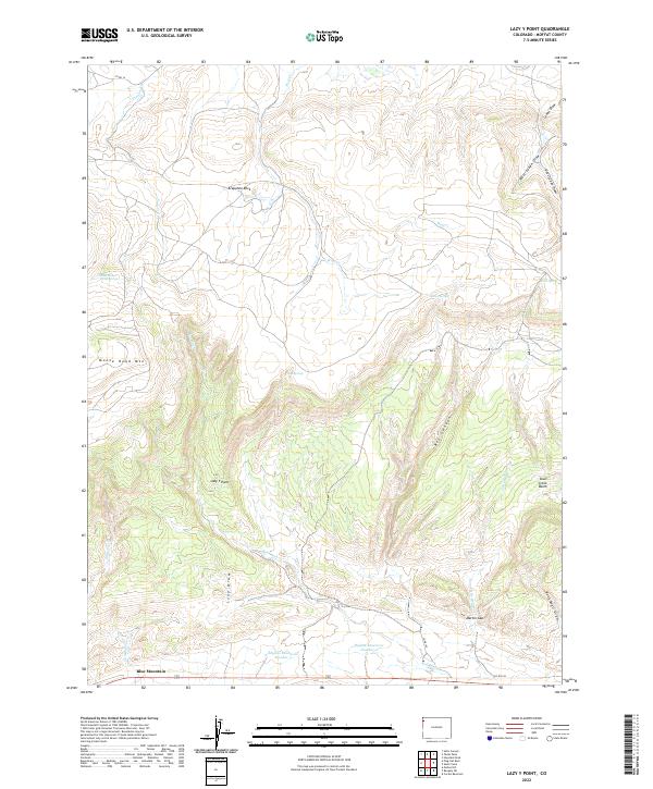
1962 Lazy Y Point
Moffat County, CO
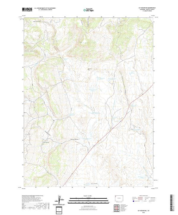
1962 M F Mountain
Moffat County, CO
1962 Plug Hat Rock
Moffat County, CO
1962 Skull Creek
Moffat County, CO
1962 Tanks Peak
Moffat County, CO
1966 Axial
Moffat County, CO
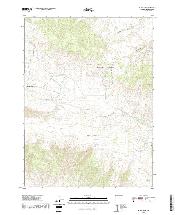
1966 Beaver Basin
Moffat County, CO
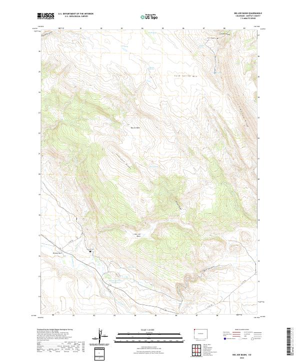
1966 Big Joe Basin
Moffat County, CO
1966 Castor Gulch
Moffat County, CO
1966 Easton Gulch
Moffat County, CO
1966 Greystone
Moffat County, CO
1966 G Spring
Moffat County, CO
1966 Hamilton
Moffat County, CO
1966 Hiawatha
Moffat County, CO
1966 Horse Gulch
Moffat County, CO
1966 Irish Canyon
Moffat County, CO
1966 Jack Springs
Moffat County, CO
1966 Juniper Hot Springs
Moffat County, CO
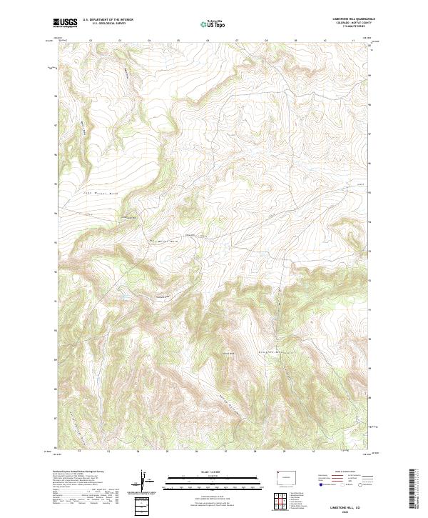
1966 Limestone Hill
Moffat County, CO
1966 Monument Butte
Moffat County, CO
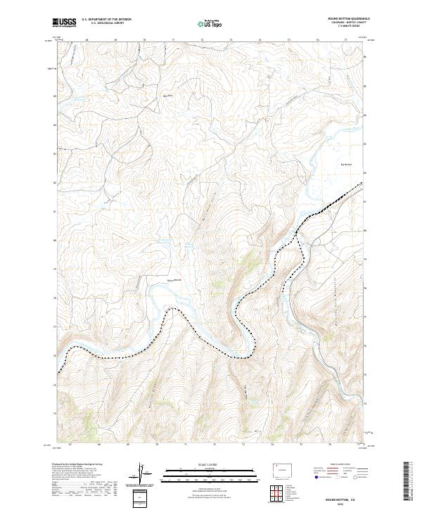
1966 Round Bottom
Moffat County, CO
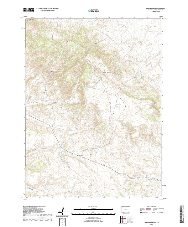
1966 Sheephead Basin
Moffat County, CO
1966 Sparks
Moffat County, CO
1966 Sugarloaf Butte
Moffat County, CO
1966 Vermillion Mesa
Moffat County, CO
1966 Zenobia Peak
Moffat County, CO
1969 Adobe Springs
Moffat County, CO
1969 Bakers Peak
Moffat County, CO
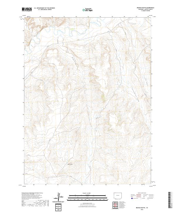
1969 Bighole Butte
Moffat County, CO
1969 Buck Point
Moffat County, CO
1969 Coffeepot Spring
Moffat County, CO
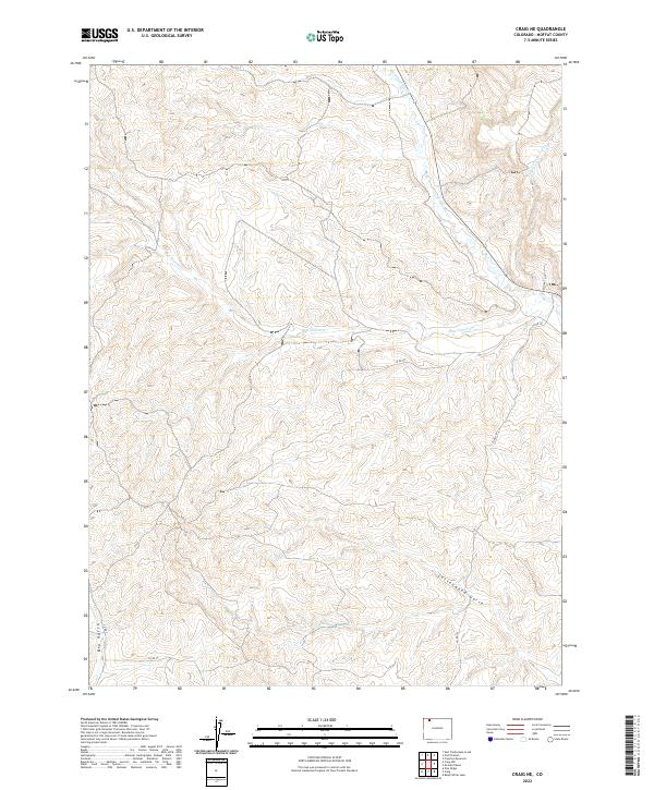
1969 Craig NE
Moffat County, CO
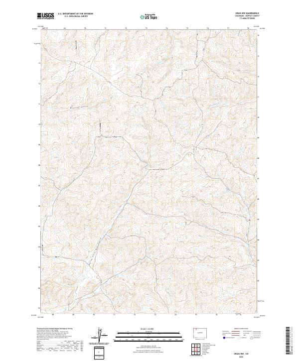
1969 Craig NW
Moffat County, CO
1969 East Timberlake Creek
Moffat County, CO
1969 Fly Creek
Moffat County, CO
1969 Fortification
Moffat County, CO
1969 Fortification NE
Moffat County, CO
1969 Freeman Reservoir
Moffat County, CO
1969 Great Divide
Moffat County, CO
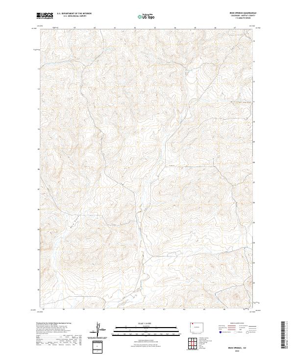
1969 Iron Springs
Moffat County, CO
1969 Lang Spring
Moffat County, CO
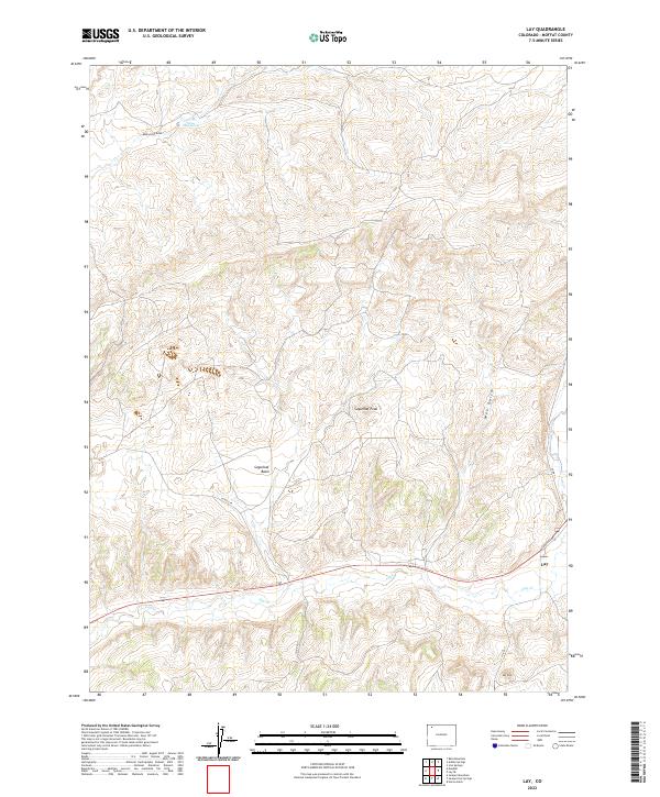
1969 Lay
Moffat County, CO
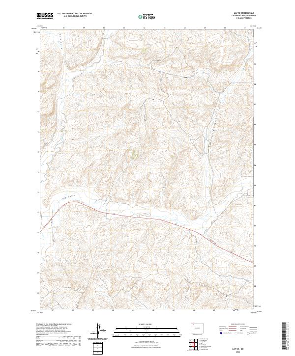
1969 Lay SE
Moffat County, CO
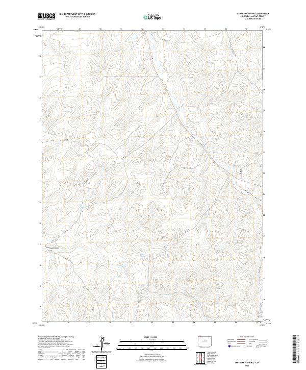
1969 Mayberry Spring
Moffat County, CO
1969 Pine Ridge
Moffat County, CO
1969 Pole Gulch
Moffat County, CO
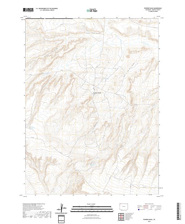
1969 Powder Wash
Moffat County, CO
1969 Reservoir Draw
Moffat County, CO
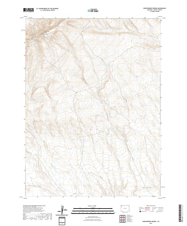
1969 Sheepherder Springs
Moffat County, CO
1969 The Nipple
Moffat County, CO
1969 The Nipple NE
Moffat County, CO
1969 The Nipple SE
Moffat County, CO
1969 Thornburgh Gulch
Moffat County, CO
1971 Breeze Mountain
Moffat County, CO
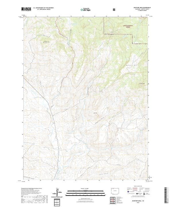
1971 Mc Inturf Mesa
Moffat County, CO
1971 Pagoda
Moffat County, CO
1971 Ralph White Lake
Moffat County, CO
1971 Slide Mountain
Moffat County, CO
1979 Canyon of Lodore
Moffat County, CO
1986 Bald Mountain
Moffat County, CO
1986 Cedar Knob
Moffat County, CO
1986 Citadel Plateau
Moffat County, CO
1986 Clay Buttes
Moffat County, CO
1986 Cross Mountain Canyon
Moffat County, CO
1986 Elk Springs
Moffat County, CO
1986 Juniper Mountain
Moffat County, CO
1986 Lone Mountain
Moffat County, CO
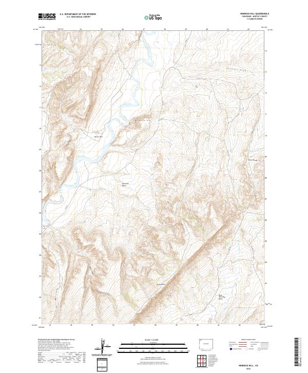
1986 Ninemile Hill
Moffat County, CO
1986 Peck Mesa
Moffat County, CO
1986 Price Creek
Moffat County, CO
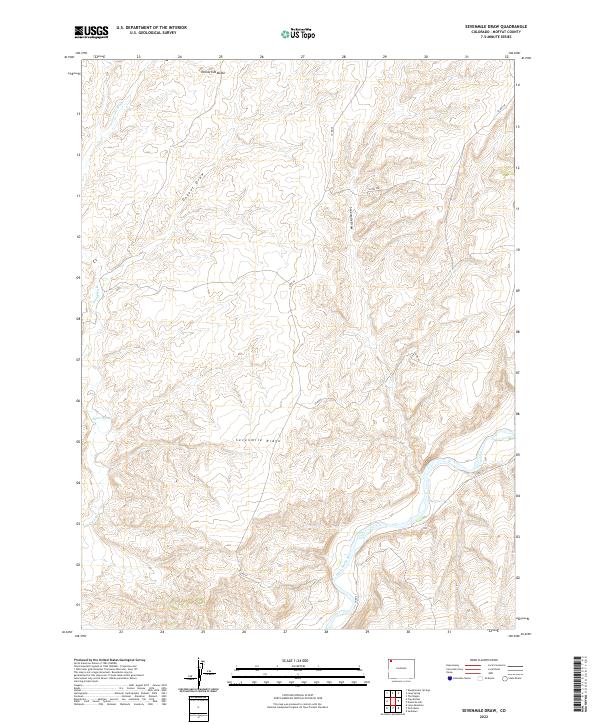
1986 Sevenmile Draw
Moffat County, CO
1986 Sunbeam
Moffat County, CO
1986 Twelvemile Mesa
Moffat County, CO
1986 Wapiti Peak
Moffat County, CO
2000 Buck Point
Moffat County, CO
2000 Freeman Reservoir
Moffat County, CO
2000 Mc Inturf Mesa
Moffat County, CO
2000 Pagoda
Moffat County, CO
2000 Slide Mountain
Moffat County, CO
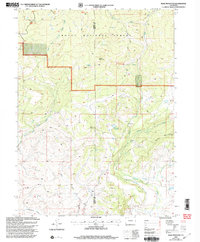
2022 Adobe Springs
Moffat County, CO
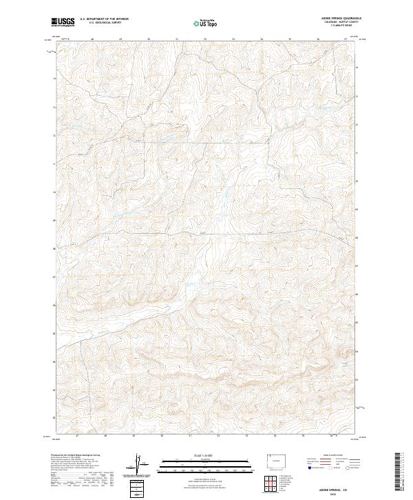
2022 Axial
Moffat County, CO

2022 Bakers Peak
Moffat County, CO
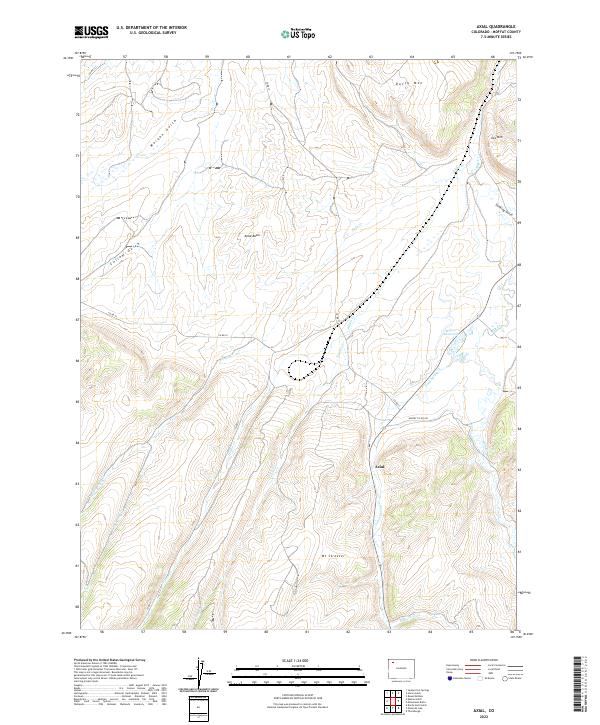
2022 Bald Mountain
Moffat County, CO
2022 Beaver Basin
Moffat County, CO
2022 Bighole Butte
Moffat County, CO
2022 Big Joe Basin
Moffat County, CO
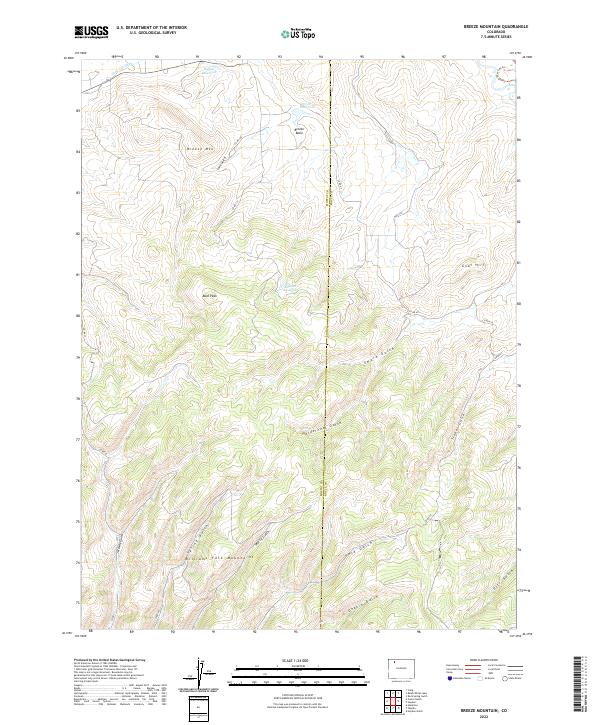
2022 Breeze Mountain
Moffat County, CO
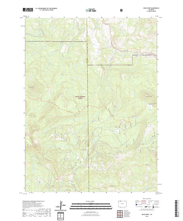
2022 Buck Point
Moffat County, CO
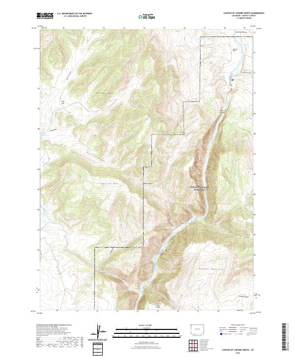
2022 Canyon of Lodore North
Moffat County, CO
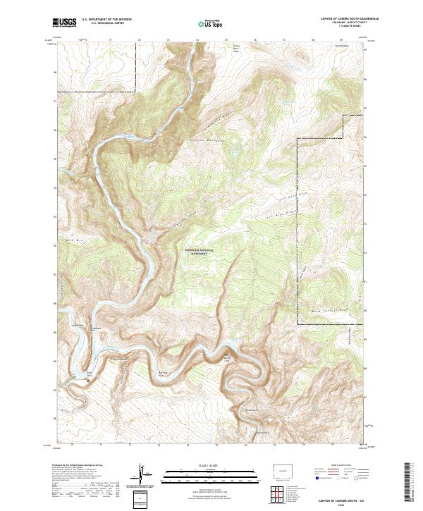
2022 Canyon of Lodore South
Moffat County, CO
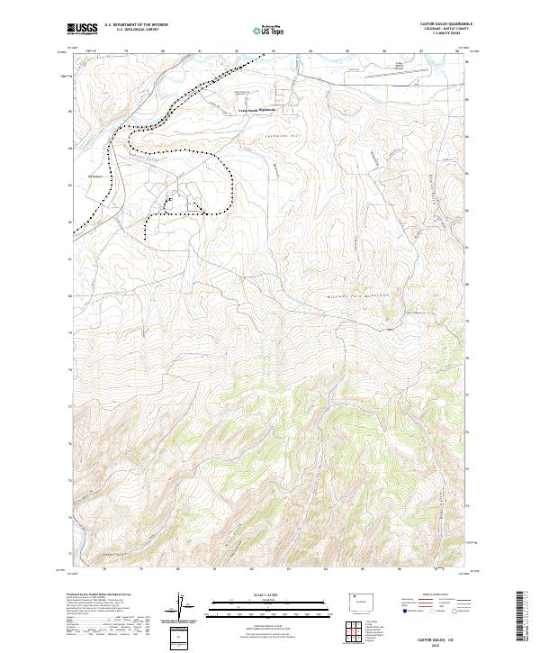
2022 Castor Gulch
Moffat County, CO
2022 Cedar Knob
Moffat County, CO
2022 Citadel Plateau
Moffat County, CO
2022 Clay Buttes
Moffat County, CO
2022 Coffeepot Spring
Moffat County, CO
2022 Craig NE
Moffat County, CO
2022 Craig NW
Moffat County, CO
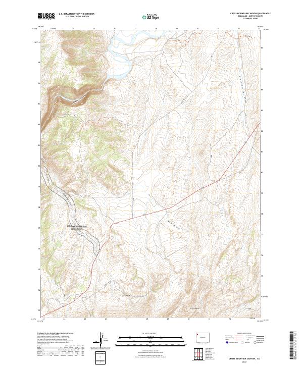
2022 Cross Mountain Canyon
Moffat County, CO
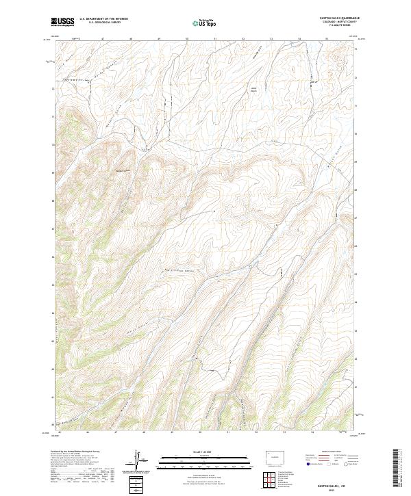
2022 Easton Gulch
Moffat County, CO
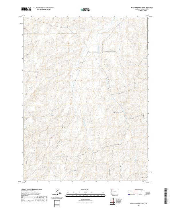
2022 East Timberlake Creek
Moffat County, CO
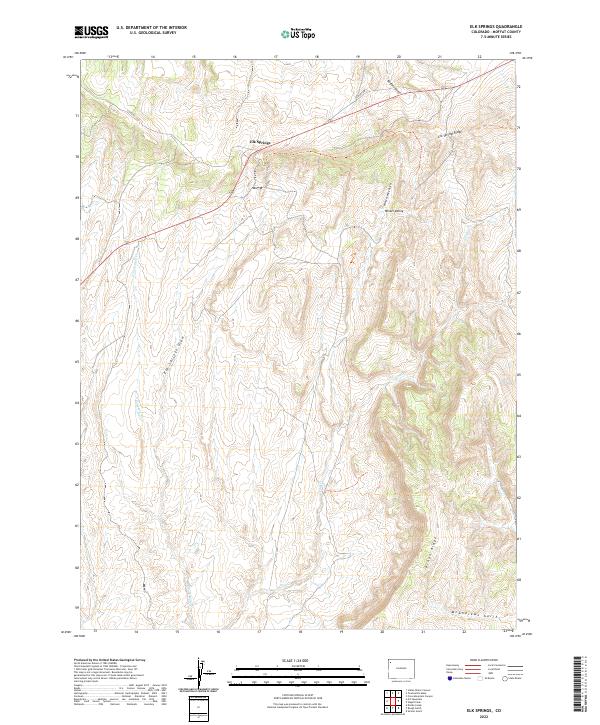
2022 Elk Springs
Moffat County, CO
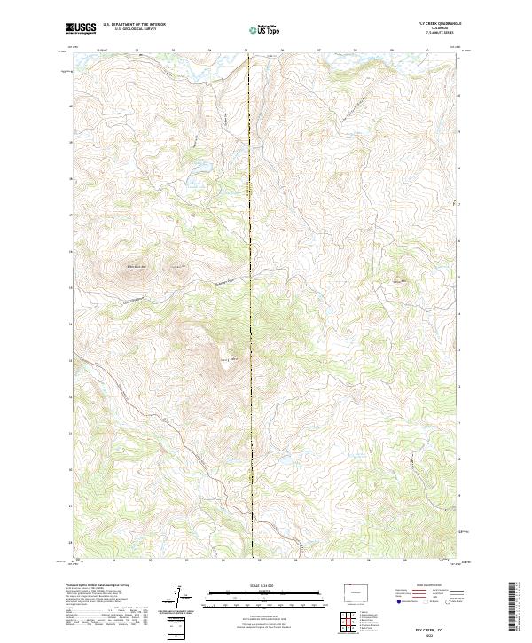
2022 Fly Creek
Moffat County, CO
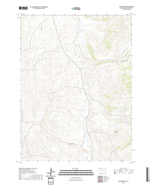
2022 Fortification
Moffat County, CO
2022 Fortification NE
Moffat County, CO
2022 Freeman Reservoir
Moffat County, CO
2022 Great Divide
Moffat County, CO
2022 Greystone
Moffat County, CO
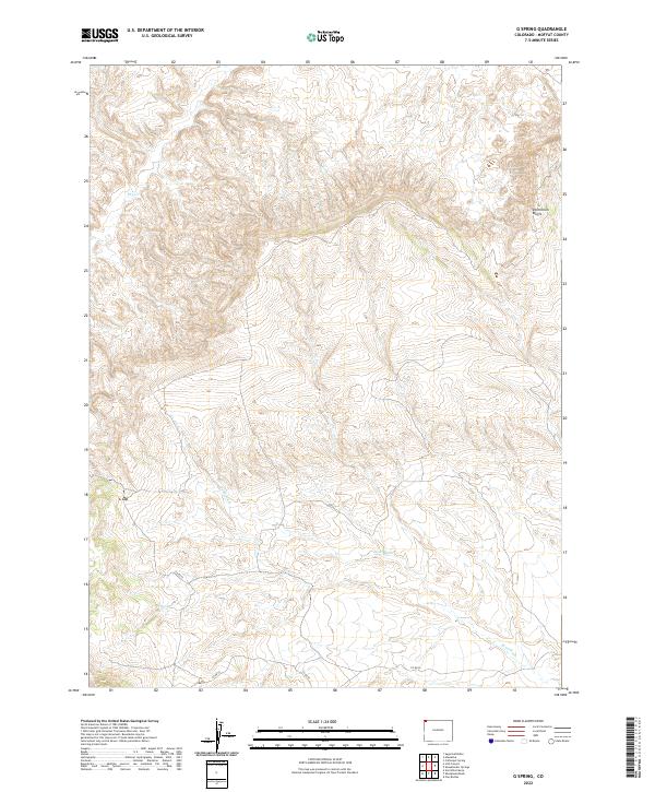
2022 G Spring
Moffat County, CO
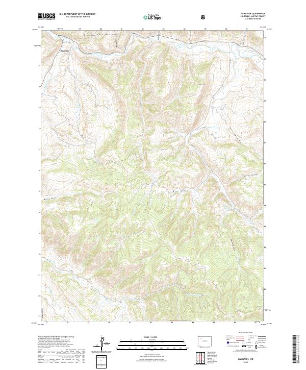
2022 Hamilton
Moffat County, CO
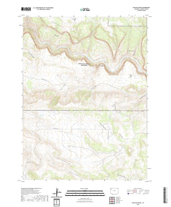
2022 Haystack Rock
Moffat County, CO
2022 Hells Canyon
Moffat County, CO
2022 Hiawatha
Moffat County, CO
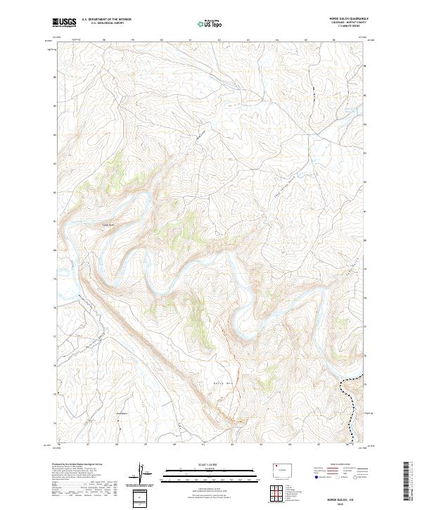
2022 Horse Gulch
Moffat County, CO
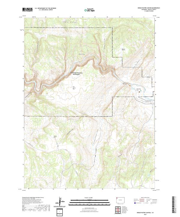
2022 Indian Water Canyon
Moffat County, CO
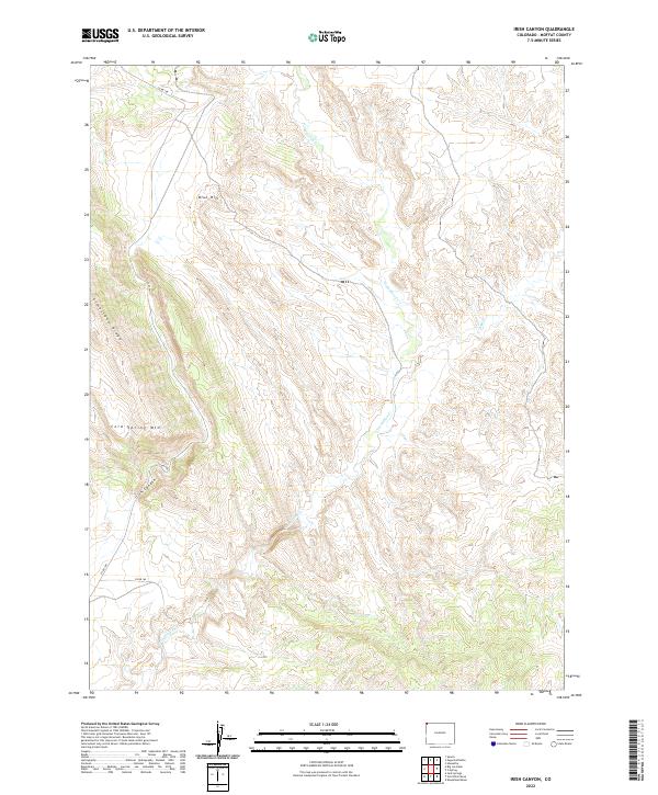
2022 Irish Canyon
Moffat County, CO
2022 Iron Springs
Moffat County, CO
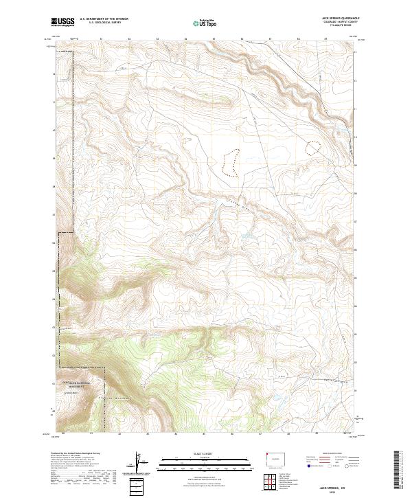
2022 Jack Springs
Moffat County, CO
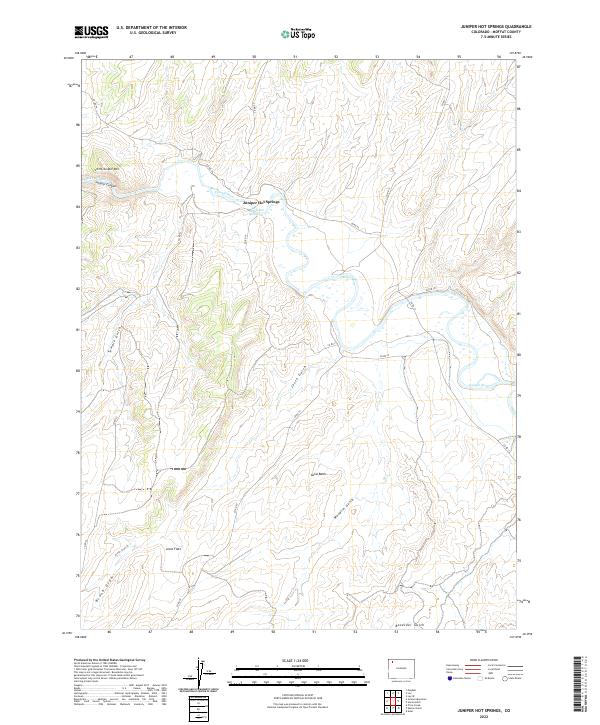
2022 Juniper Hot Springs
Moffat County, CO

2022 Juniper Mountain
Moffat County, CO
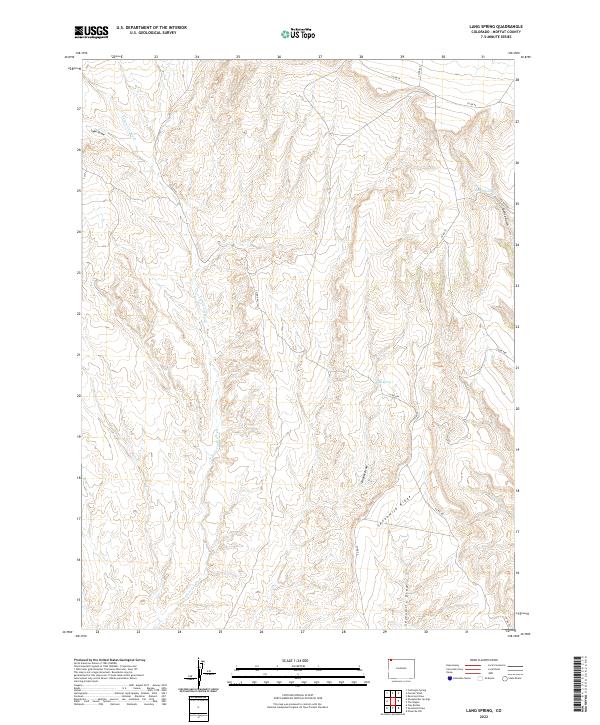
2022 Lang Spring
Moffat County, CO
2022 Lay
Moffat County, CO
2022 Lay SE
Moffat County, CO
2022 Lazy Y Point
Moffat County, CO
2022 Limestone Hill
Moffat County, CO
2022 Lodore School
Moffat County, CO
2022 Lone Mountain
Moffat County, CO
2022 Mayberry Spring
Moffat County, CO
2022 McInturf Mesa
Moffat County, CO
2022 M F Mountain
Moffat County, CO
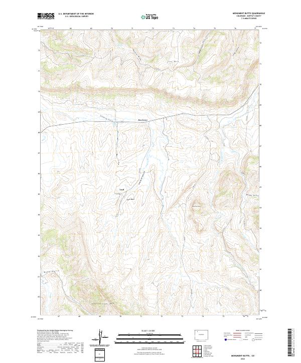
2022 Monument Butte
Moffat County, CO
2022 Ninemile Hill
Moffat County, CO
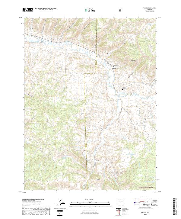
2022 Pagoda
Moffat County, CO
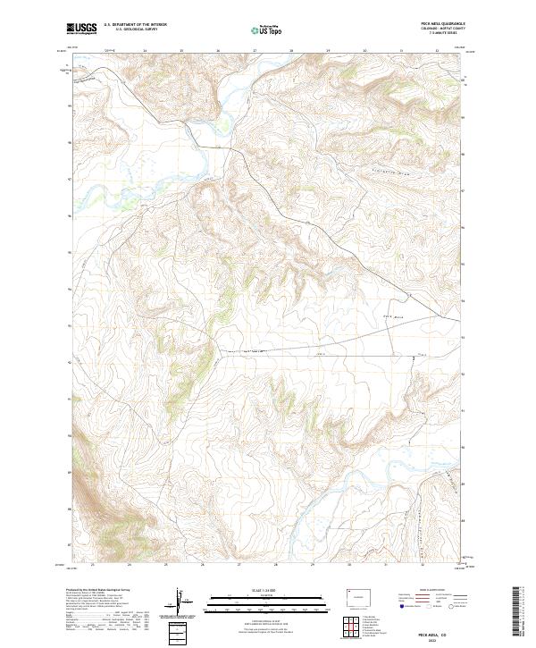
2022 Peck Mesa
Moffat County, CO
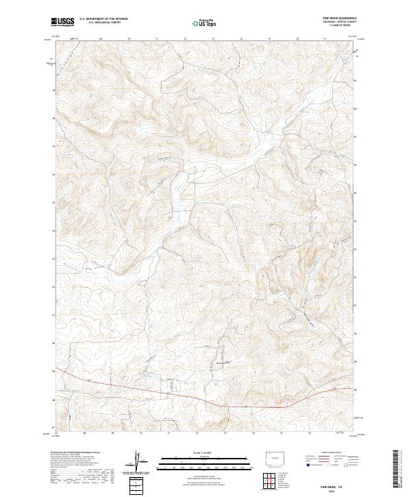
2022 Pine Ridge
Moffat County, CO
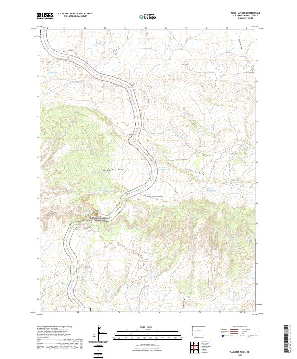
2022 Plug Hat Rock
Moffat County, CO
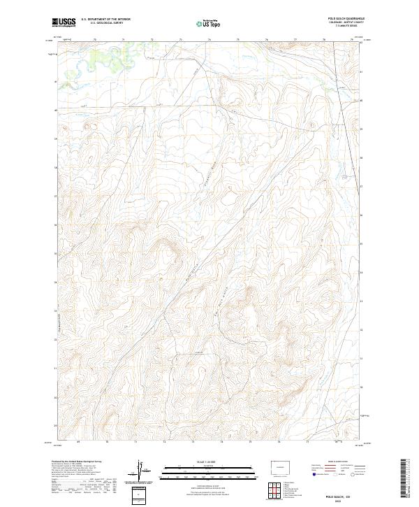
2022 Pole Gulch
Moffat County, CO
2022 Powder Wash
Moffat County, CO
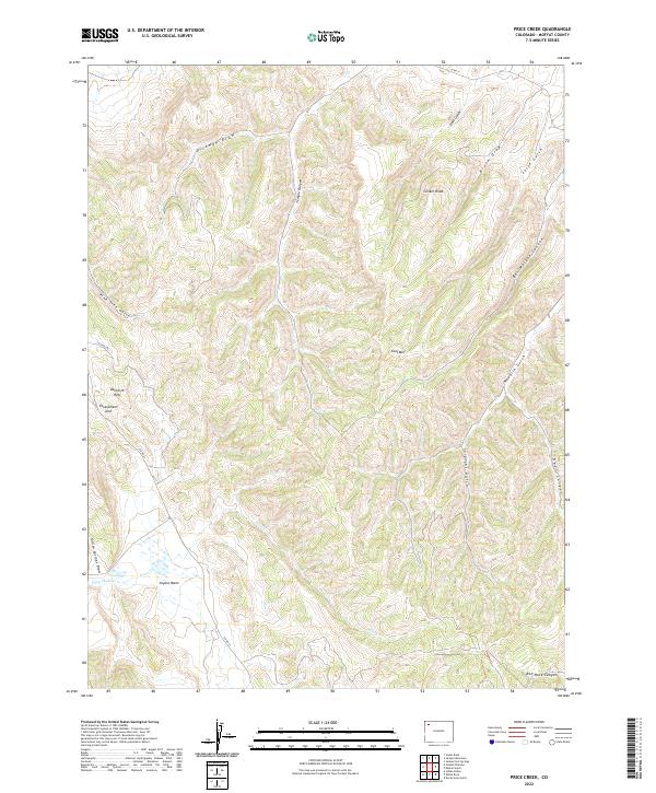
2022 Price Creek
Moffat County, CO
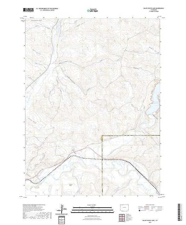
2022 Ralph White Lake
Moffat County, CO
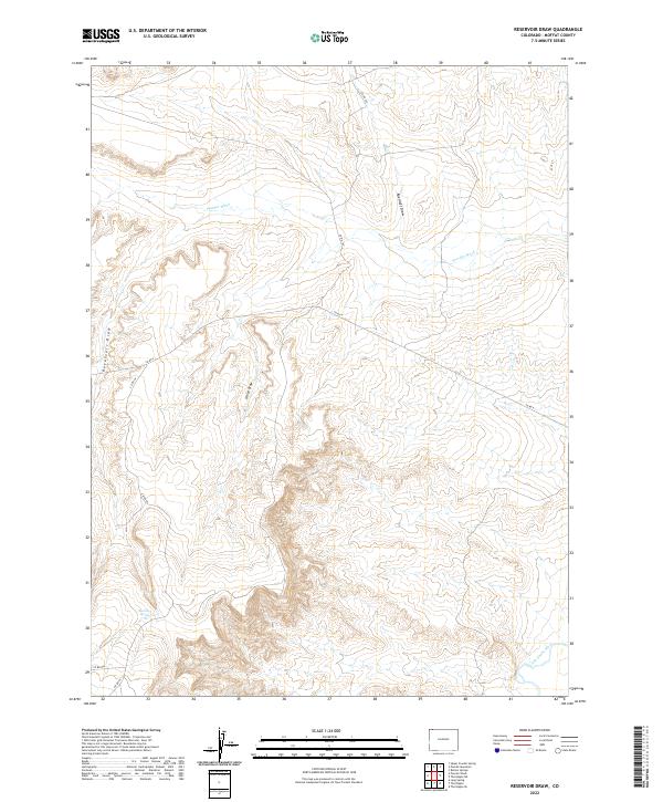
2022 Reservoir Draw
Moffat County, CO
2022 Round Bottom
Moffat County, CO
2022 Sevenmile Draw
Moffat County, CO
2022 Sheephead Basin
Moffat County, CO
2022 Sheepherder Springs
Moffat County, CO
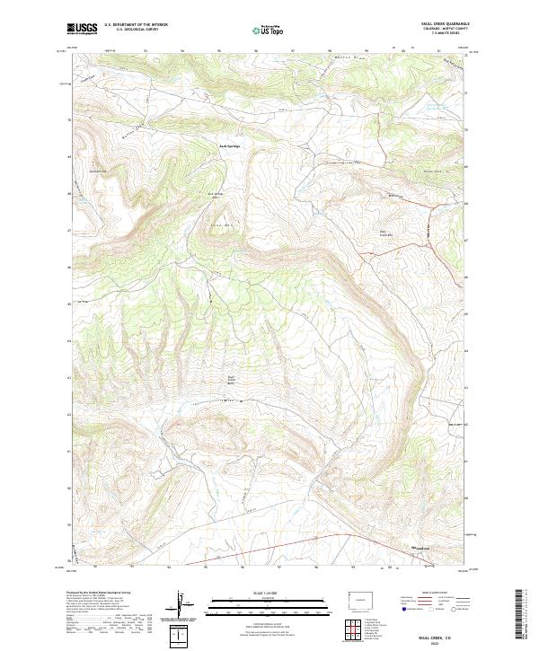
2022 Skull Creek
Moffat County, CO
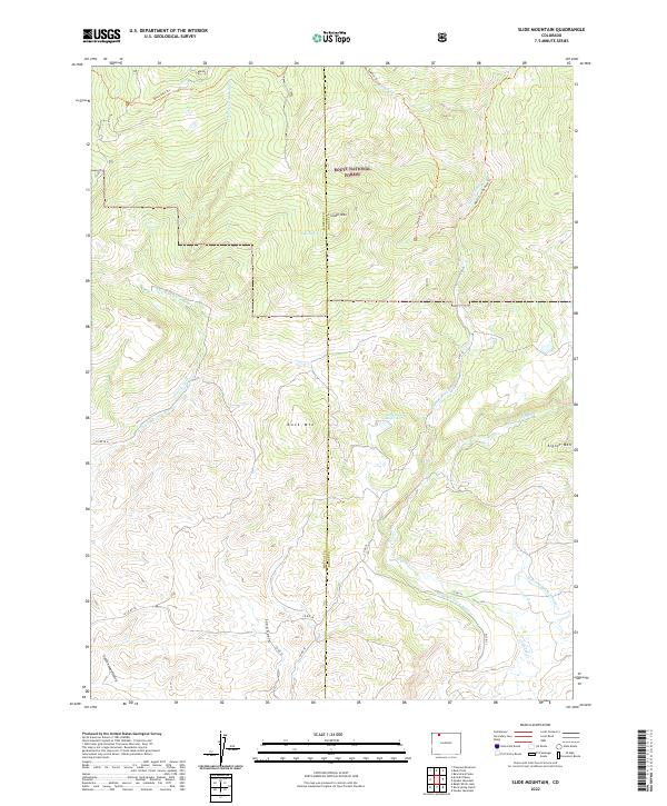
2022 Slide Mountain
Moffat County, CO
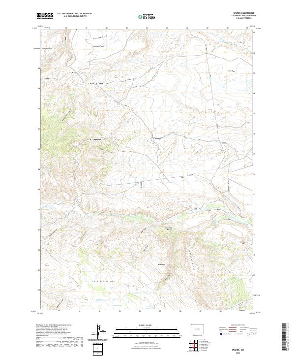
2022 Sparks
Moffat County, CO
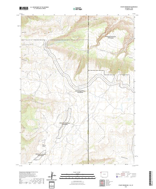
2022 Stuntz Reservoir
Moffat County, CO
2022 Sugarloaf Butte
Moffat County, CO
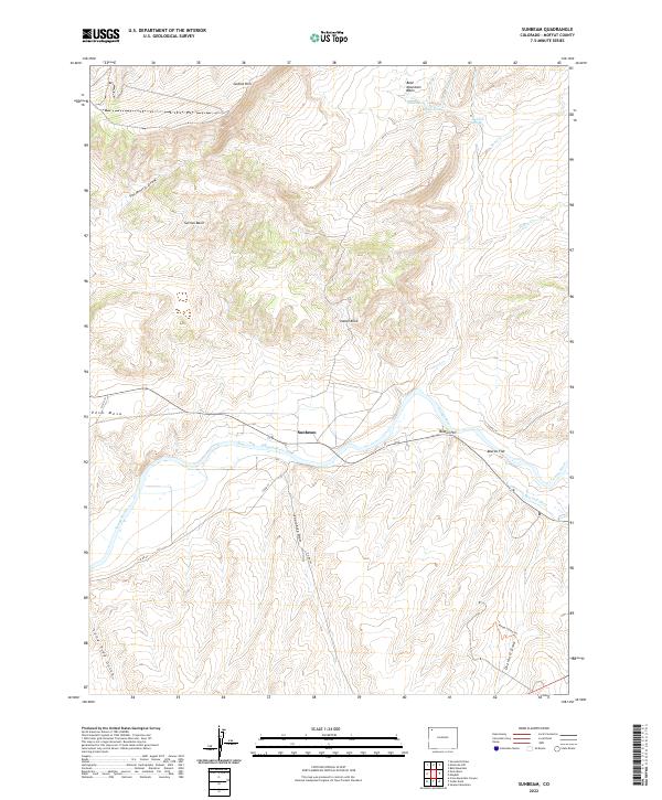
2022 Sunbeam
Moffat County, CO
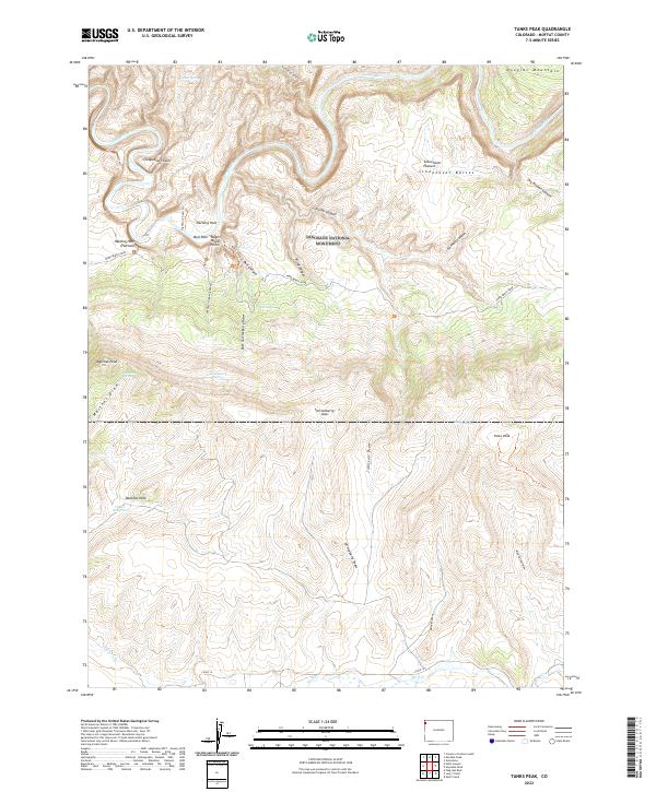
2022 Tanks Peak
Moffat County, CO
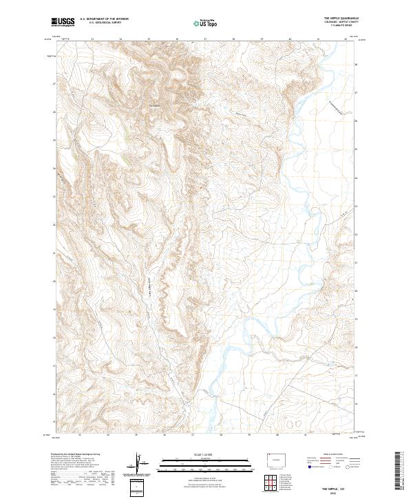
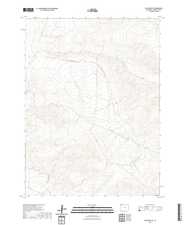
2022 The Nipple
Moffat County, CO
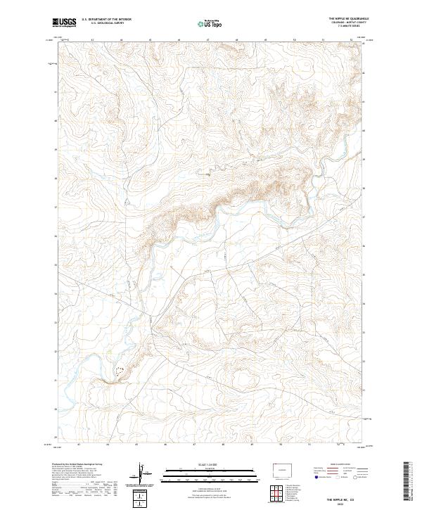
2022 The Nipple NE
Moffat County, CO
2022 The Nipple SE
Moffat County, CO
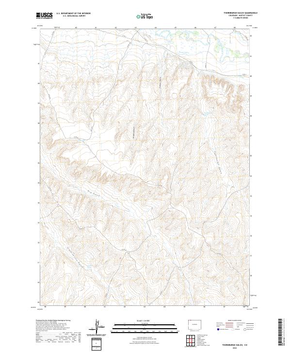
2022 Thornburgh Gulch
Moffat County, CO
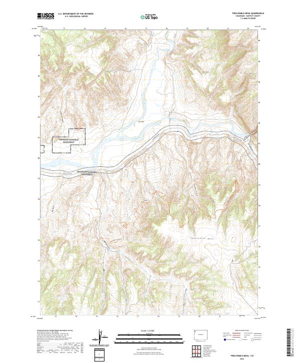
2022 Twelvemile Mesa
Moffat County, CO

2022 Vermillion Mesa
Moffat County, CO
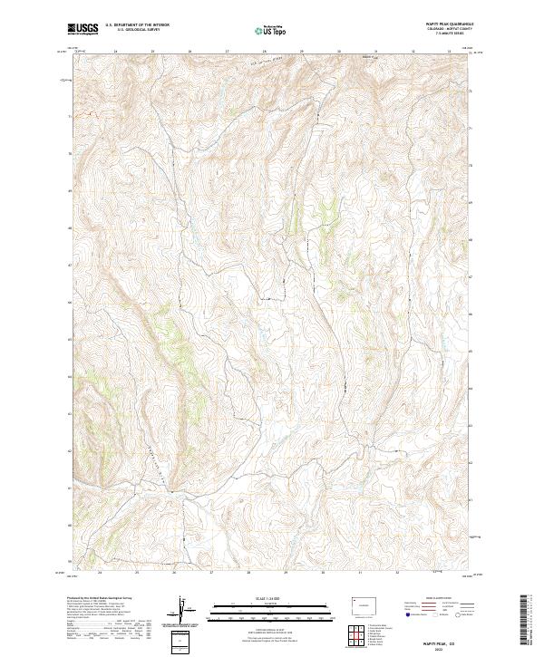
2022 Wapiti Peak
Moffat County, CO
2022 Zenobia Peak
Moffat County, CO