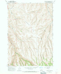
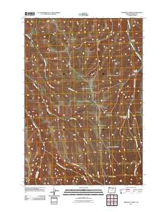
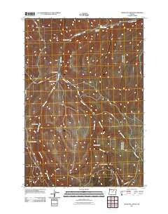
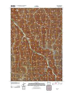
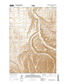
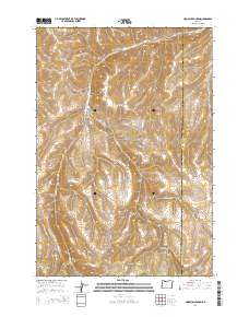
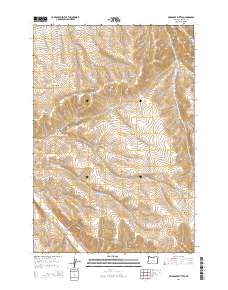
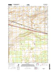
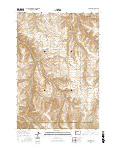
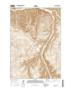
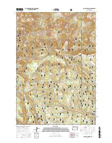
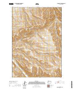
1970 Map of Alderdale
USGS Topo · Published 1972About this map
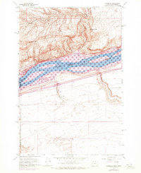
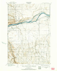
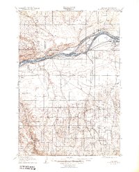
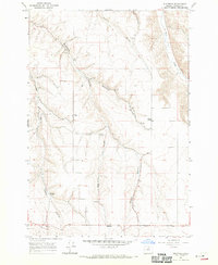
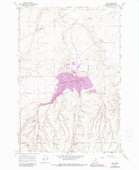
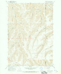
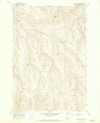
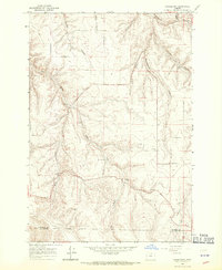
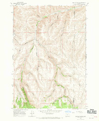
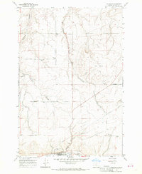
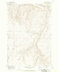
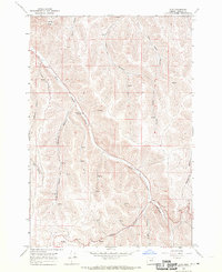
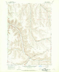
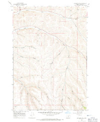
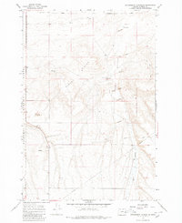
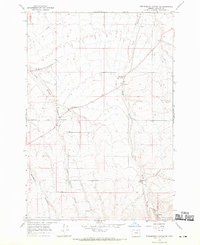
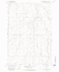
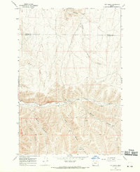
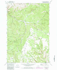
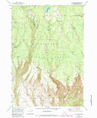
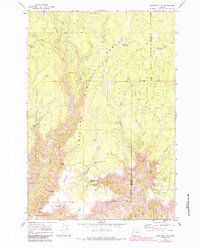
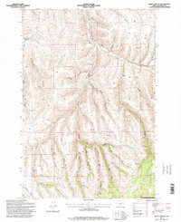
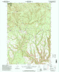
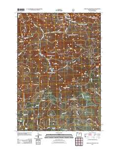
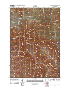
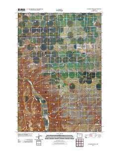
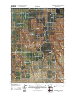
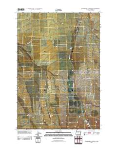
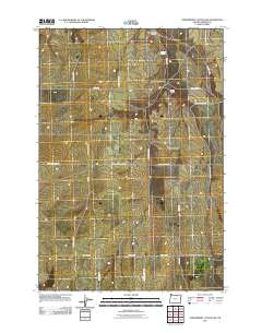
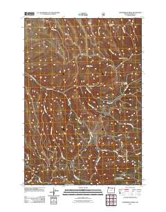
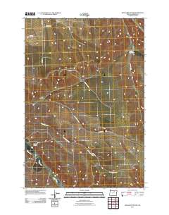
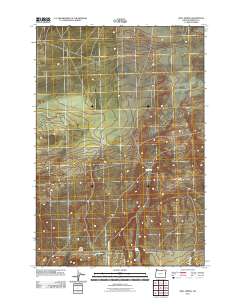
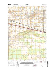
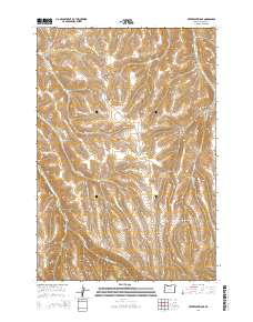
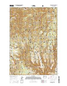
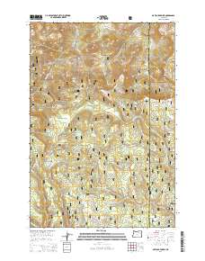
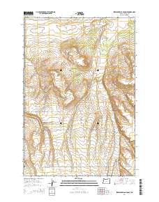
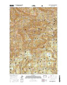
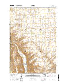
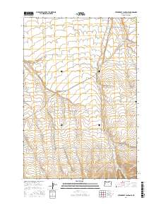
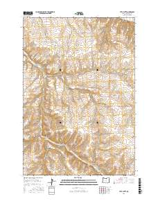
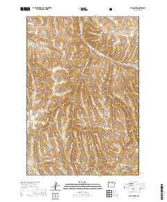
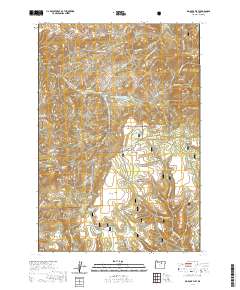
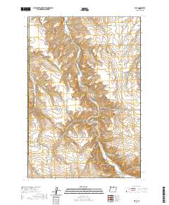
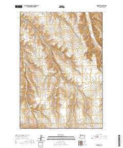
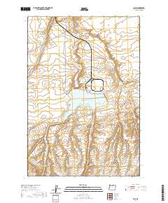
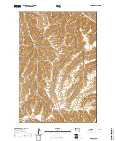
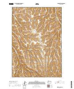
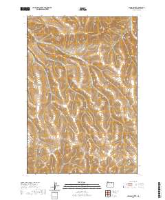
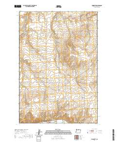
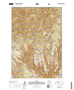
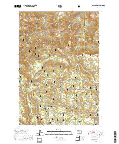
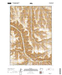
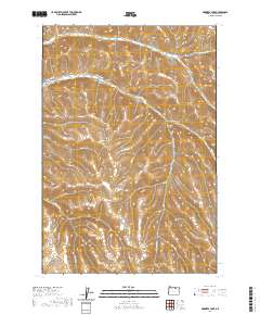
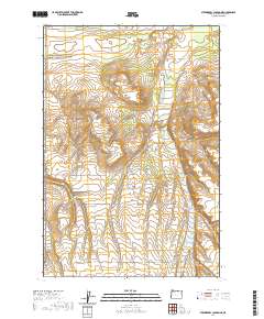
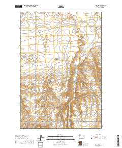
The Columbia River and the waters of Lake Umatilla dominate this landscape along the Oregon-Washington border, separating Klickitat, Morrow, and Gilliam counties. The topography is defined by the sharp ascent of Alder Ridge and Sand Ridge to the north, while the southern banks reveal a series of deep drainage channels including Threemile Canyon and Sixmile Canyon. This 1970 photorevised survey illustrates a critical transportation corridor, where the Union Pacific and Burlington Northern railroads parallel the river on opposite shores. Small settlements like Alderdale and McCredie serve as anchors for the local rail and agricultural activity. Landmarks such as Golgotha Butte rise above the river valley, marking the transition from the basalt-carved river basin to the high plateaus and rangelands of the interior Northwest.
Find a feature on this map
24 named features on this map. Tap any name to fly to it.
Don’t see what you’re looking for? This feature index may not catch every label — zoom into the map to look around manually.
Map Details
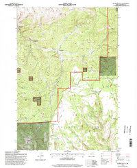
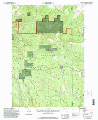
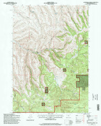
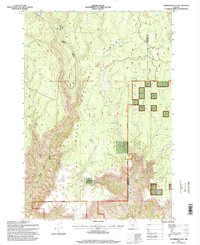
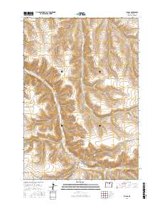
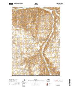
Editions of this 1970 Alderdale Map
This is the sole edition of this map. No revisions or reprints were ever made.
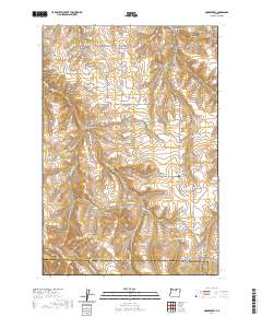
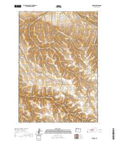
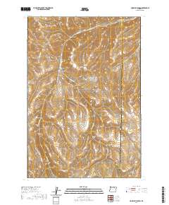
Historical Maps of Klickitat County Through Time
218 maps found
1906 Blalock Island
Morrow County, OR
1908 Blalock Island
Morrow County, OR
1962 Clarke
Morrow County, OR
1967 Freezeout Ridge
Morrow County, OR
1968 Butter Creek Junction
Morrow County, OR
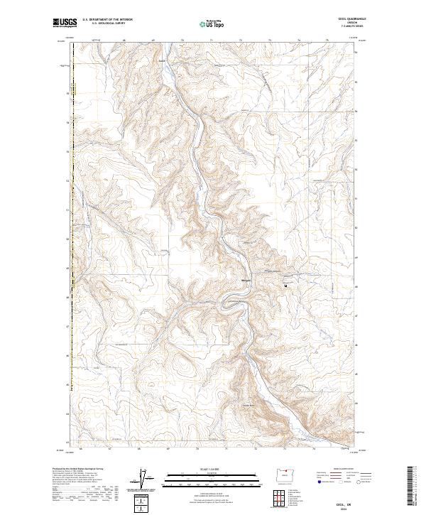
1968 Cecil
Morrow County, OR
1968 Dalreed Butte
Morrow County, OR
1968 Eightmile
Morrow County, OR
1968 Ella
Morrow County, OR
1968 Franklin Hill
Morrow County, OR
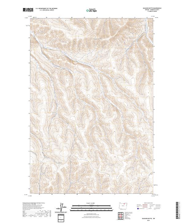
1968 Gleason Butte
Morrow County, OR
1968 Gooseberry
Morrow County, OR
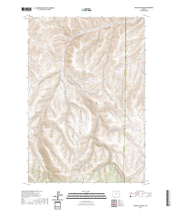
1968 Hoodlum Canyon
Morrow County, OR
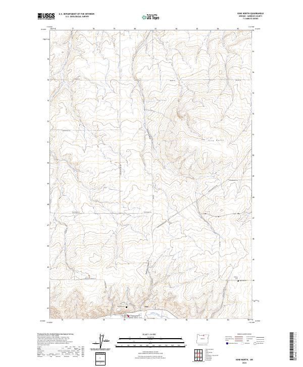
1968 Ione North
Morrow County, OR
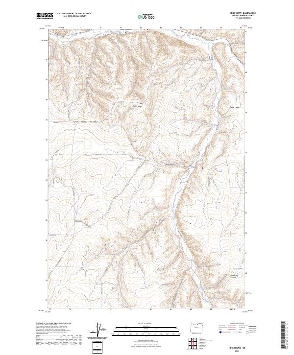
1968 Ione South
Morrow County, OR
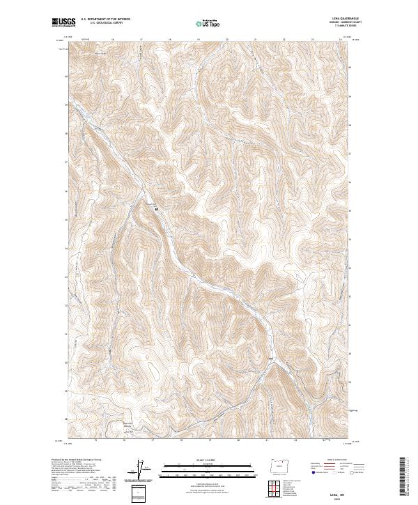
1968 Lena
Morrow County, OR
1968 Ruggs
Morrow County, OR
1968 Skinners Fork
Morrow County, OR
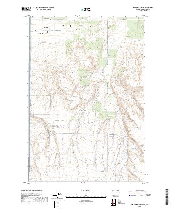
1968 Strawberry Canyon NE
Morrow County, OR
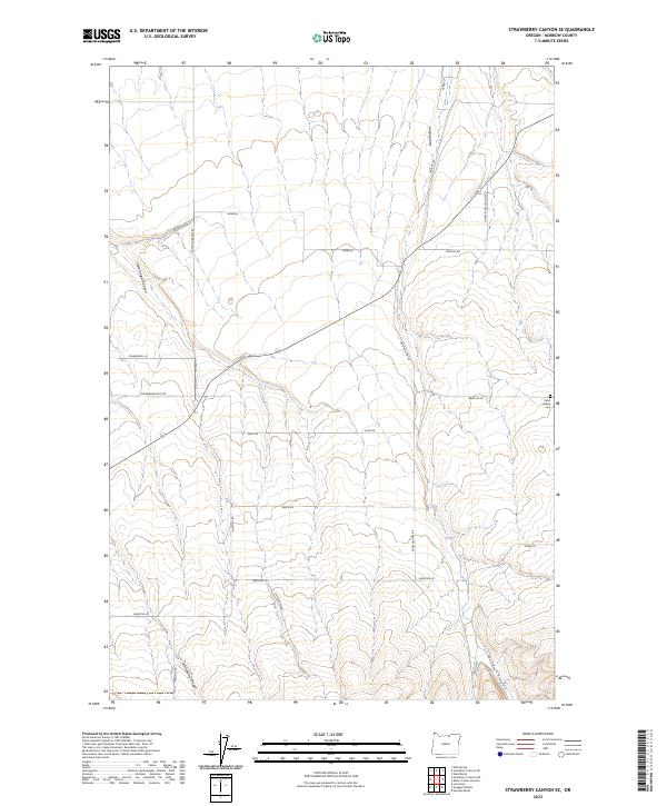
1968 Strawberry Canyon SE
Morrow County, OR
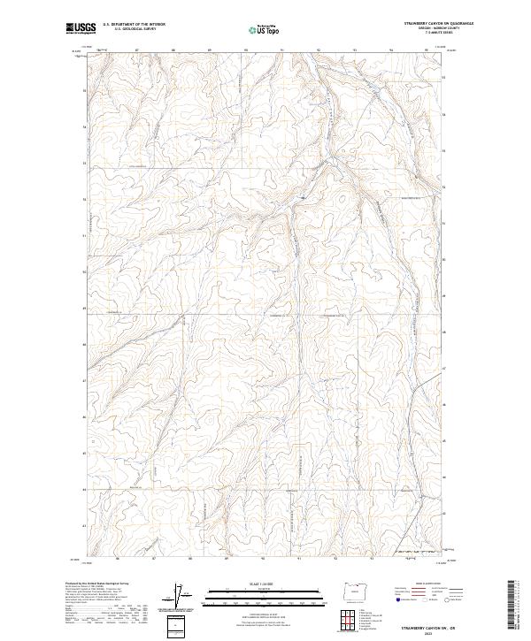
1968 Strawberry Canyon SW
Morrow County, OR
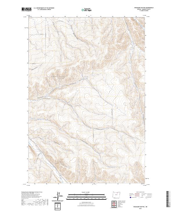
1968 Swaggart Buttes
Morrow County, OR
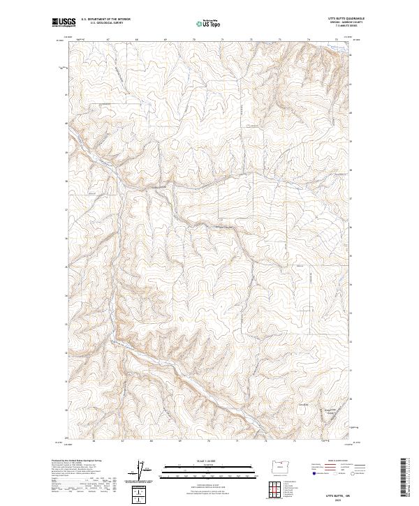
1968 Utts Butte
Morrow County, OR
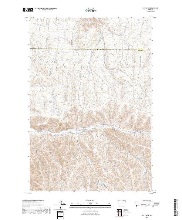
1968 Vey Ranch
Morrow County, OR
1968 Well Spring
Morrow County, OR
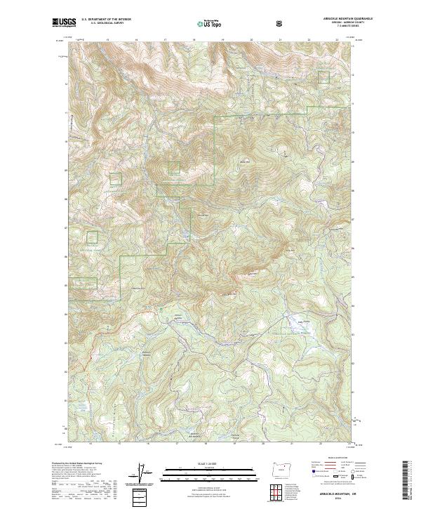
1969 Arbuckle Mtn
Morrow County, OR
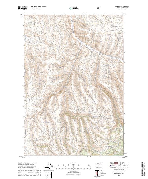
1969 Balm Canyon
Morrow County, OR
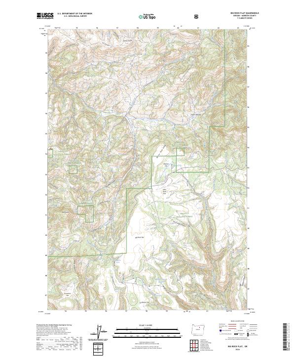
1969 Big Rock Flat
Morrow County, OR
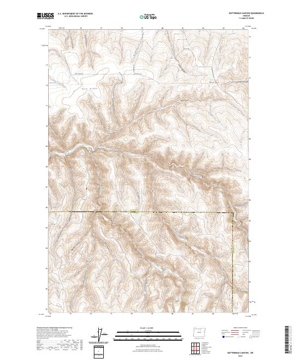
1969 Buttermilk Canyon
Morrow County, OR
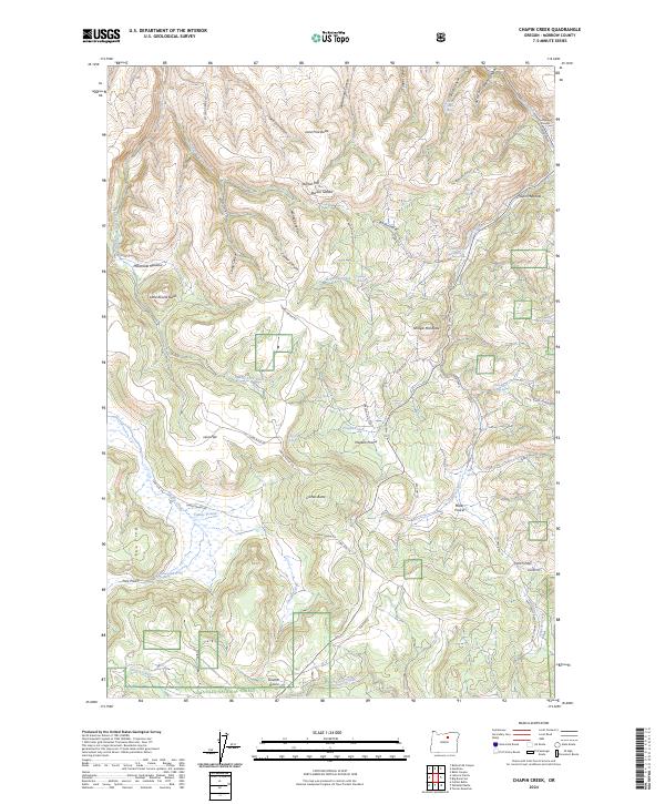
1969 Chapin Creek
Morrow County, OR
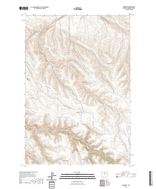
1969 Hardman
Morrow County, OR
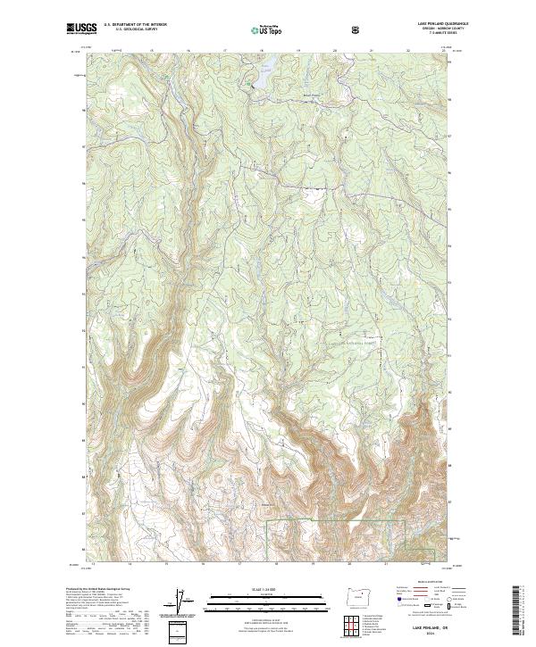
1969 Lake Penland
Morrow County, OR
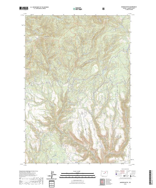
1969 Madison Butte
Morrow County, OR
1969 Matlock Prairie
Morrow County, OR
1969 Summerfield Ridge
Morrow County, OR
1969 Thompson Flat
Morrow County, OR
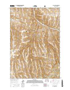
1970 Alderdale
Morrow County, OR
1993 Clarke
Morrow County, OR
1993 Ella
Morrow County, OR
1995 Arbuckle Mountain
Morrow County, OR
1995 Balm Canyon
Morrow County, OR
1995 Big Rock Flat
Morrow County, OR
1995 Chapin Creek
Morrow County, OR
1995 Lake Penland
Morrow County, OR
1995 Madison Butte
Morrow County, OR
1995 Matlock Prairie
Morrow County, OR
1995 Summerfield Ridge
Morrow County, OR
1995 Thompson Flat
Morrow County, OR
2011 Arbuckle Mountain
Morrow County, OR
2011 Balm Canyon
Morrow County, OR
2011 Big Rock Flat
Morrow County, OR
2011 Butter Creek Junction
Morrow County, OR
2011 Buttermilk Canyon
Morrow County, OR
2011 Cecil
Morrow County, OR
2011 Chapin Creek
Morrow County, OR
2011 Clarke
Morrow County, OR
2011 Dalreed Butte
Morrow County, OR
2011 Eightmile
Morrow County, OR
2011 Ella
Morrow County, OR
2011 Franklin Hill
Morrow County, OR
2011 Freezeout Ridge
Morrow County, OR
2011 Gleason Butte
Morrow County, OR
2011 Gooseberry
Morrow County, OR
2011 Hardman
Morrow County, OR
2011 Hoodlum Canyon
Morrow County, OR
2011 Ione North
Morrow County, OR
2011 Ione South
Morrow County, OR
2011 Lake Penland
Morrow County, OR
2011 Lena
Morrow County, OR
2011 Madison Butte
Morrow County, OR
2011 Matlock Prairie
Morrow County, OR

2011 Ruggs
Morrow County, OR
2011 Skinners Fork
Morrow County, OR
2011 Strawberry Canyon NE
Morrow County, OR
2011 Strawberry Canyon SE
Morrow County, OR
2011 Strawberry Canyon SW
Morrow County, OR
2011 Summerfield Ridge
Morrow County, OR
2011 Swaggart Buttes
Morrow County, OR
2011 Thompson Flat
Morrow County, OR
2011 Utts Butte
Morrow County, OR
2011 Vey Ranch
Morrow County, OR
2011 Well Spring
Morrow County, OR
2014 Arbuckle Mountain
Morrow County, OR
2014 Balm Canyon
Morrow County, OR
2014 Big Rock Flat
Morrow County, OR
2014 Butter Creek Junction
Morrow County, OR
2014 Buttermilk Canyon
Morrow County, OR
2014 Cecil
Morrow County, OR
2014 Chapin Creek
Morrow County, OR
2014 Clarke
Morrow County, OR
2014 Dalreed Butte
Morrow County, OR
2014 Eightmile
Morrow County, OR

2014 Ella
Morrow County, OR
2014 Franklin Hill
Morrow County, OR
2014 Freezeout Ridge
Morrow County, OR
2014 Gleason Butte
Morrow County, OR
2014 Gooseberry
Morrow County, OR
2014 Hardman
Morrow County, OR
2014 Hoodlum Canyon
Morrow County, OR
2014 Ione North
Morrow County, OR

2014 Ione South
Morrow County, OR
2014 Lake Penland
Morrow County, OR
2014 Lena
Morrow County, OR
2014 Madison Butte
Morrow County, OR
2014 Matlock Prairie
Morrow County, OR
2014 Ruggs
Morrow County, OR
2014 Skinners Fork
Morrow County, OR
2014 Strawberry Canyon NE
Morrow County, OR
2014 Strawberry Canyon SE
Morrow County, OR
2014 Strawberry Canyon SW
Morrow County, OR
2014 Summerfield Ridge
Morrow County, OR
2014 Swaggart Buttes
Morrow County, OR
2014 Thompson Flat
Morrow County, OR

2014 Utts Butte
Morrow County, OR
2014 Vey Ranch
Morrow County, OR
2014 Well Spring
Morrow County, OR
2017 Arbuckle Mountain
Morrow County, OR
2017 Balm Canyon
Morrow County, OR
2017 Big Rock Flat
Morrow County, OR
2017 Butter Creek Junction
Morrow County, OR
2017 Buttermilk Canyon
Morrow County, OR
2017 Cecil
Morrow County, OR
2017 Chapin Creek
Morrow County, OR
2017 Clarke
Morrow County, OR
2017 Dalreed Butte
Morrow County, OR
2017 Eightmile
Morrow County, OR
2017 Ella
Morrow County, OR

2017 Franklin Hill
Morrow County, OR

2017 Freezeout Ridge
Morrow County, OR
2017 Gleason Butte
Morrow County, OR
2017 Gooseberry
Morrow County, OR
2017 Hardman
Morrow County, OR
2017 Hoodlum Canyon
Morrow County, OR
2017 Ione North
Morrow County, OR
2017 Ione South
Morrow County, OR
2017 Lake Penland
Morrow County, OR
2017 Lena
Morrow County, OR
2017 Madison Butte
Morrow County, OR
2017 Matlock Prairie
Morrow County, OR
2017 Ruggs
Morrow County, OR
2017 Skinners Fork
Morrow County, OR
2017 Strawberry Canyon NE
Morrow County, OR
2017 Strawberry Canyon SE
Morrow County, OR
2017 Strawberry Canyon SW
Morrow County, OR
2017 Summerfield Ridge
Morrow County, OR
2017 Swaggart Buttes
Morrow County, OR

2017 Thompson Flat
Morrow County, OR
2017 Utts Butte
Morrow County, OR
2017 Vey Ranch
Morrow County, OR
2017 Well Spring
Morrow County, OR
2020 Arbuckle Mountain
Morrow County, OR
2020 Balm Canyon
Morrow County, OR
2020 Big Rock Flat
Morrow County, OR
2020 Butter Creek Junction
Morrow County, OR
2020 Buttermilk Canyon
Morrow County, OR
2020 Cecil
Morrow County, OR
2020 Chapin Creek
Morrow County, OR
2020 Clarke
Morrow County, OR
2020 Dalreed Butte
Morrow County, OR
2020 Eightmile
Morrow County, OR
2020 Ella
Morrow County, OR
2020 Franklin Hill
Morrow County, OR
2020 Freezeout Ridge
Morrow County, OR
2020 Gleason Butte
Morrow County, OR
2020 Gooseberry
Morrow County, OR
2020 Hardman
Morrow County, OR
2020 Hoodlum Canyon
Morrow County, OR
2020 Ione North
Morrow County, OR
2020 Ione South
Morrow County, OR
2020 Lake Penland
Morrow County, OR
2020 Lena
Morrow County, OR
2020 Madison Butte
Morrow County, OR
2020 Matlock Prairie
Morrow County, OR
2020 Ruggs
Morrow County, OR
2020 Skinners Fork
Morrow County, OR
2020 Strawberry Canyon NE
Morrow County, OR
2020 Strawberry Canyon SE
Morrow County, OR
2020 Strawberry Canyon SW
Morrow County, OR
2020 Summerfield Ridge
Morrow County, OR
2020 Swaggart Buttes
Morrow County, OR
2020 Thompson Flat
Morrow County, OR
2020 Utts Butte
Morrow County, OR
2020 Vey Ranch
Morrow County, OR
2020 Well Spring
Morrow County, OR
2023 Butter Creek Junction
Morrow County, OR

2023 Dalreed Butte
Morrow County, OR
2023 Eightmile
Morrow County, OR
2023 Franklin Hill
Morrow County, OR
2023 Gleason Butte
Morrow County, OR
2023 Hoodlum Canyon
Morrow County, OR
2023 Ione South
Morrow County, OR
2023 Lena
Morrow County, OR
2023 Strawberry Canyon NE
Morrow County, OR
2023 Strawberry Canyon SE
Morrow County, OR
2023 Strawberry Canyon SW
Morrow County, OR
2023 Swaggart Buttes
Morrow County, OR
2023 Utts Butte
Morrow County, OR
2023 Vey Ranch
Morrow County, OR
2024 Arbuckle Mountain
Morrow County, OR
2024 Balm Canyon
Morrow County, OR
2024 Big Rock Flat
Morrow County, OR
2024 Buttermilk Canyon
Morrow County, OR
2024 Cecil
Morrow County, OR
2024 Chapin Creek
Morrow County, OR
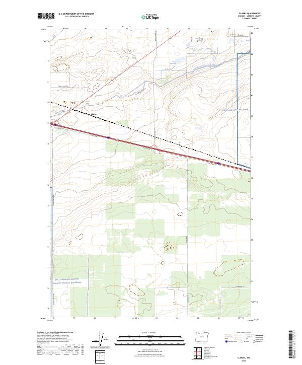
2024 Clarke
Morrow County, OR
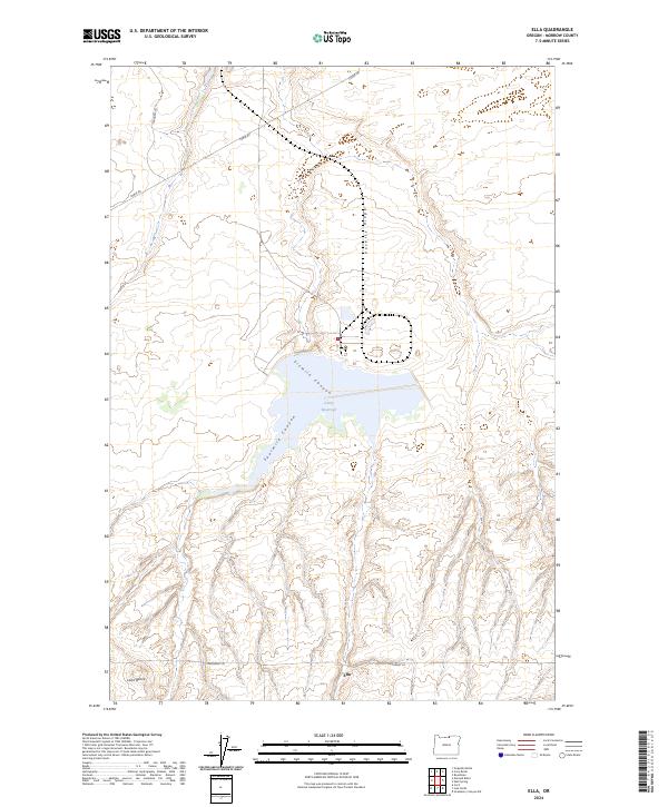
2024 Ella
Morrow County, OR
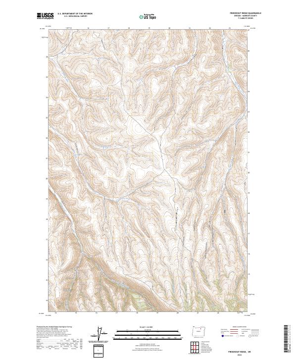
2024 Freezeout Ridge
Morrow County, OR
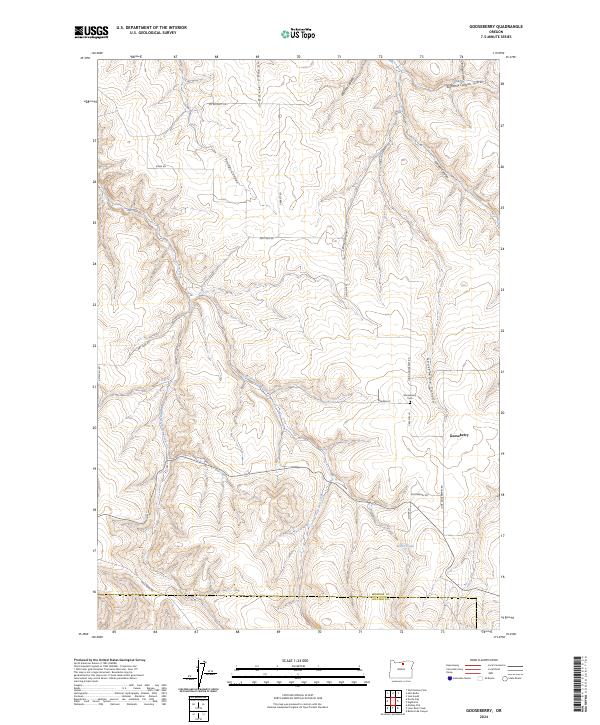
2024 Gooseberry
Morrow County, OR
2024 Hardman
Morrow County, OR
2024 Ione North
Morrow County, OR
2024 Lake Penland
Morrow County, OR
2024 Madison Butte
Morrow County, OR
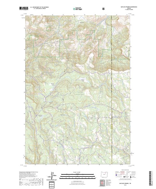
2024 Matlock Prairie
Morrow County, OR
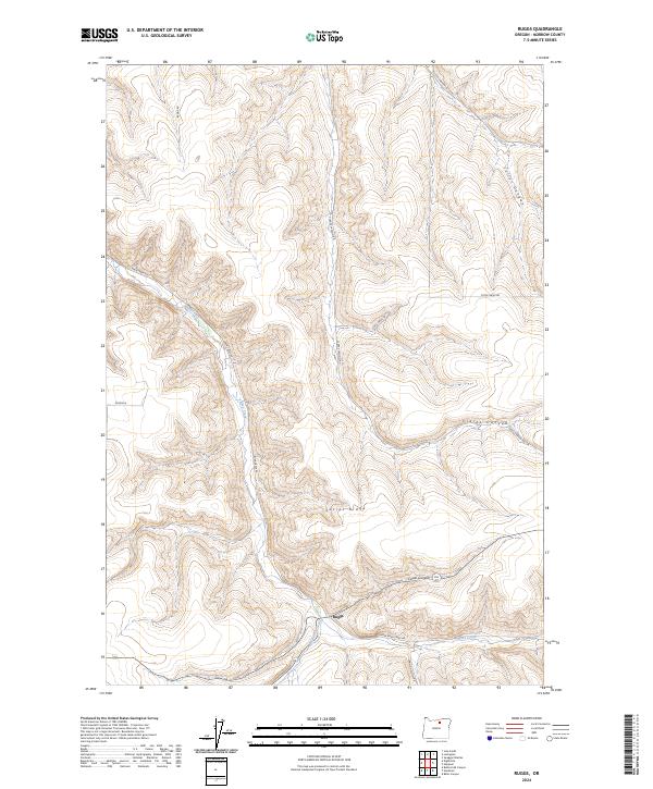
2024 Ruggs
Morrow County, OR
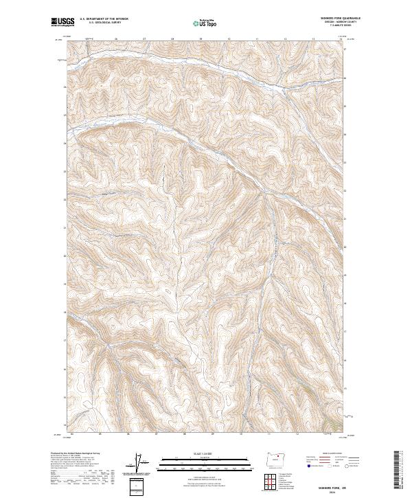
2024 Skinners Fork
Morrow County, OR
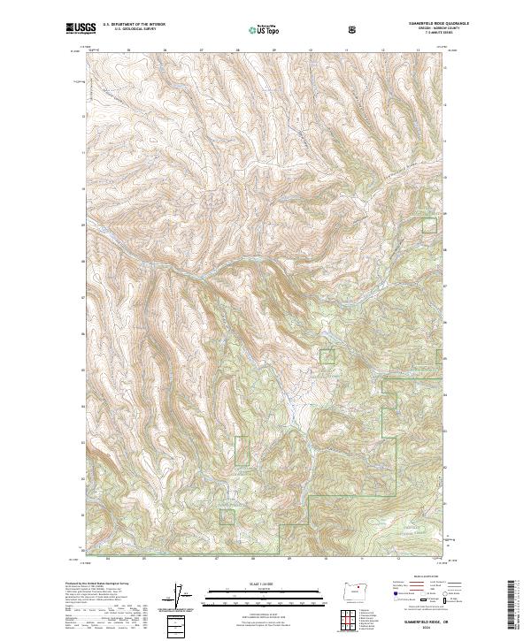
2024 Summerfield Ridge
Morrow County, OR
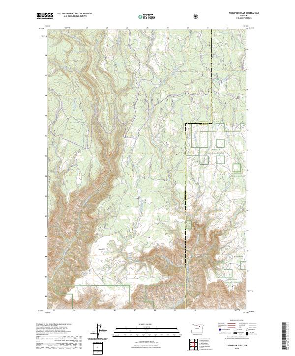
2024 Thompson Flat
Morrow County, OR
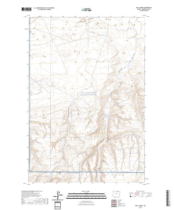
2024 Well Spring
Morrow County, OR