
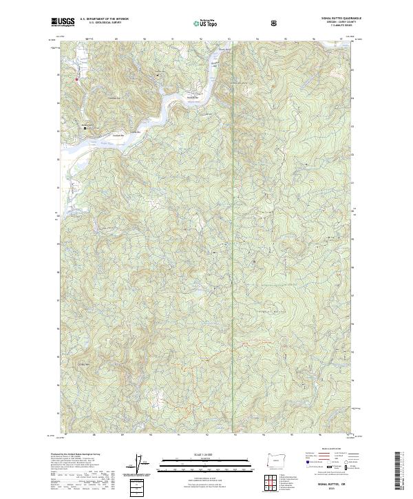
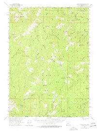
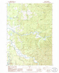
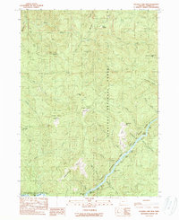
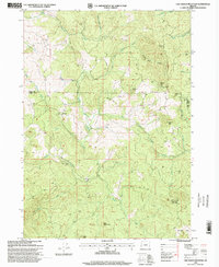
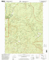
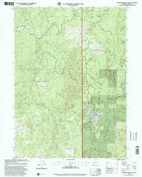
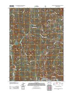
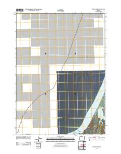
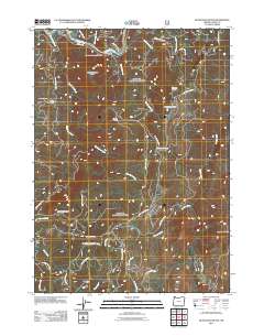
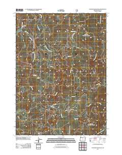
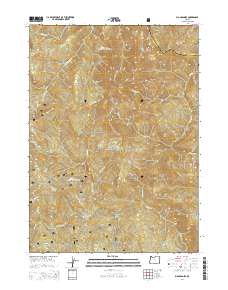
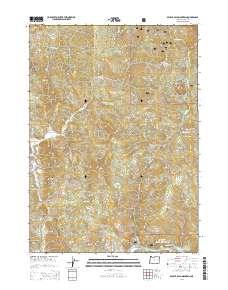
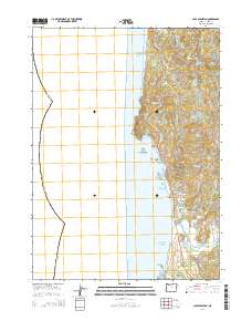
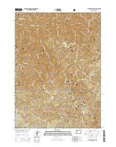
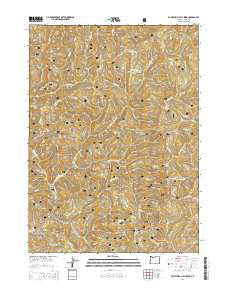
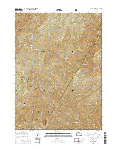
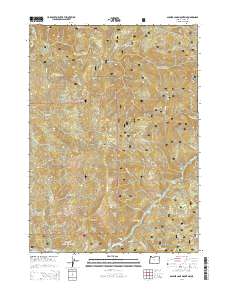
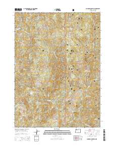
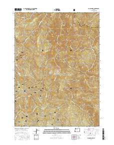
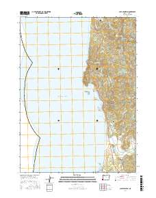
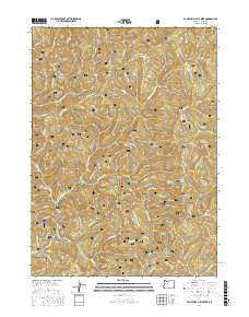
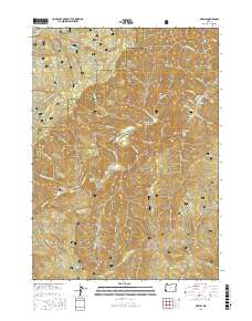
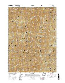
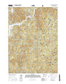
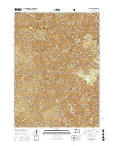
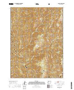
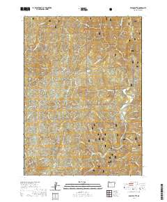
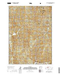
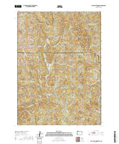
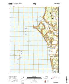
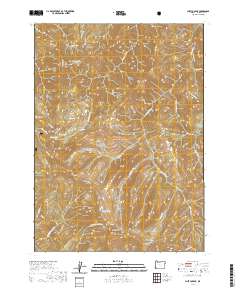
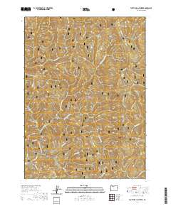
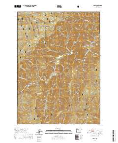
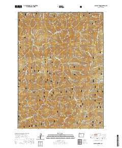
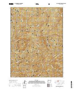
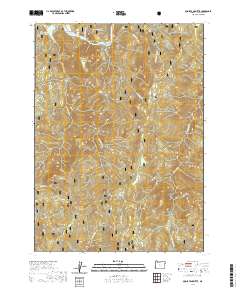
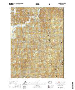
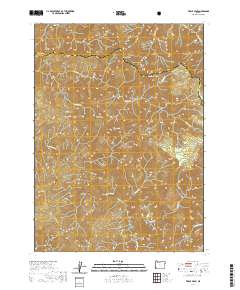
2023 Map of Signal Buttes
USGS Topo · Published 2023About this map
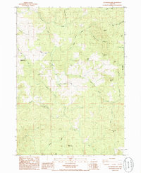
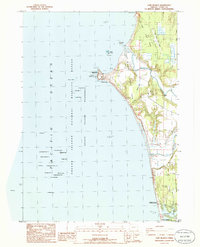
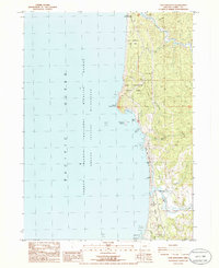
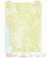
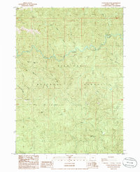
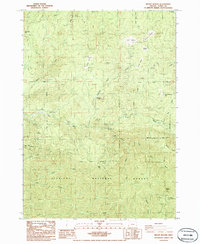
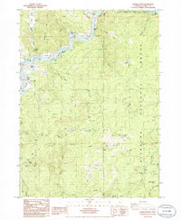
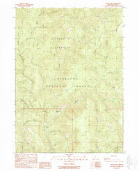
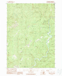
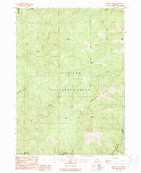
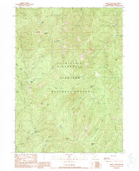
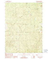
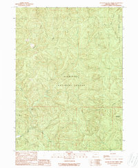
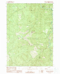
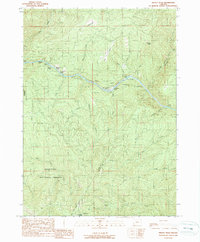
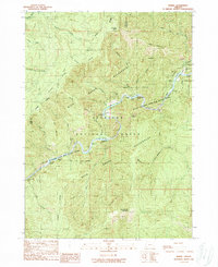
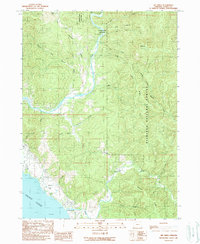
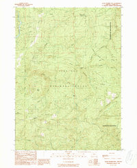
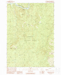
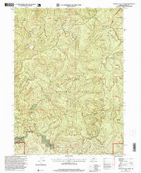
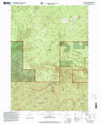
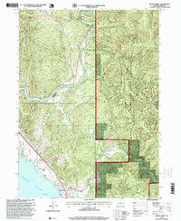
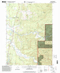
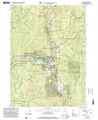
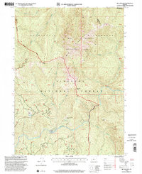
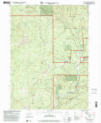
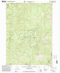
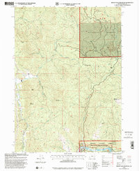
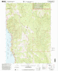
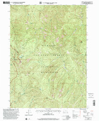
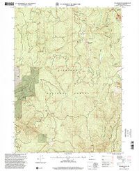
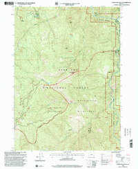
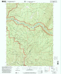
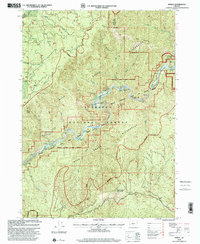
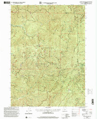
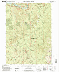
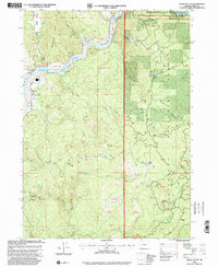
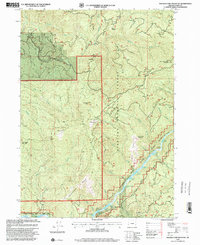
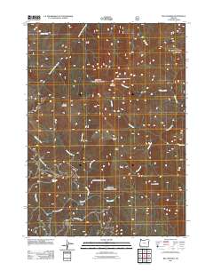
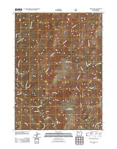
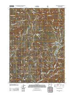
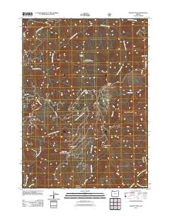
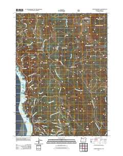
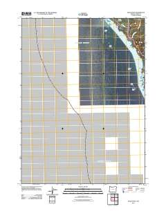
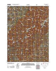
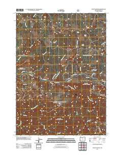
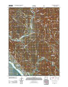
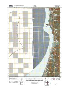
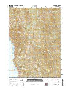
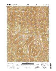
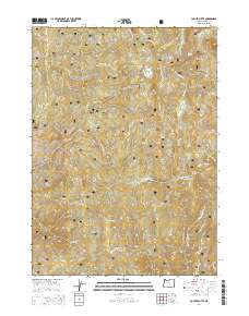
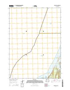
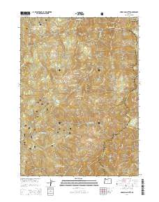
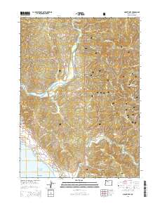
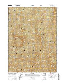
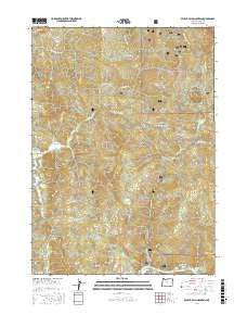
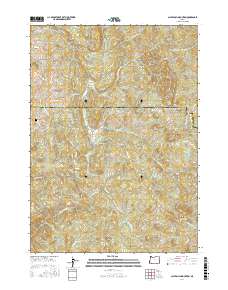
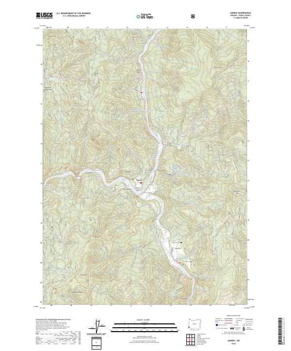
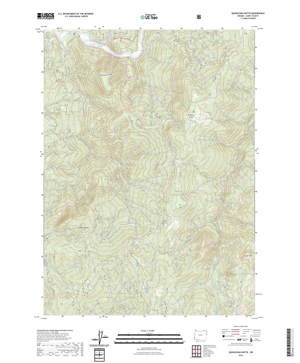
The Rogue Wild and Scenic River carves through the northern portion of this terrain, punctuated by numerous named bars and riffles such as Orchard Bar, Coyote Bar, and Gillespie Riffle. The river valley is a focal point of historical human activity, evidenced by the Rumley Hill Cem and Merriam Cem located near its banks. Moving south, the landscape transitions into the heavily timbered reaches of the Siskiyou National Forest, where high elevations are marked by Signal Buttes and Grizzly Mtn. Significant water features like Lake of the Woods and the Hunter Creek Bog occupy the southern drainage basins. The map also documents a network of trails and access points including Jacks Lndg and the 1803-North Fork Hunter Creek Trails Trl, reflecting the area's history of forest management and river access.
Find a feature on this map
64 named features on this map. Tap any name to fly to it.
Don’t see what you’re looking for? This feature index may not catch every label — zoom into the map to look around manually.
Map Details
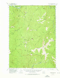
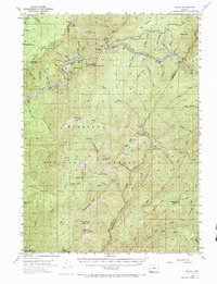
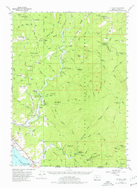
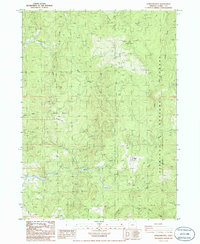
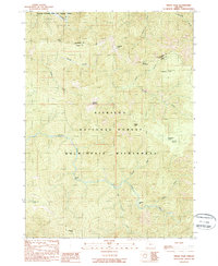
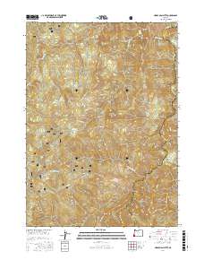
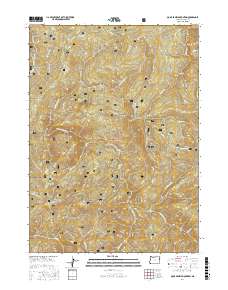
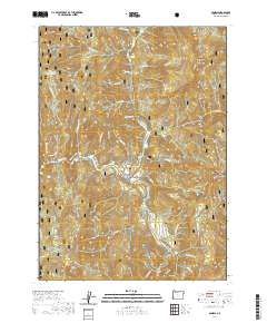
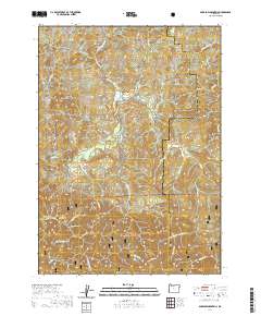
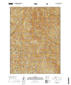
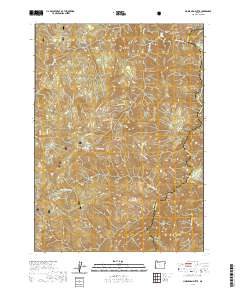
Editions of this 2023 Signal Buttes Map
2 editions found
Historical Maps of Bagnell Ferry Through Time
232 maps found
1954 Agness
Curry County, OR
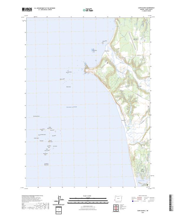
1954 Cape Blanco
Curry County, OR
1954 Cape Ferrelo
Curry County, OR
1954 Chetco Peak
Curry County, OR
1954 Collier Butte
Curry County, OR
1954 Marial
Curry County, OR
1954 Mt. Emily
Curry County, OR
1985 Calf Ranch Mtn
Curry County, OR
1985 Mack Point
Curry County, OR
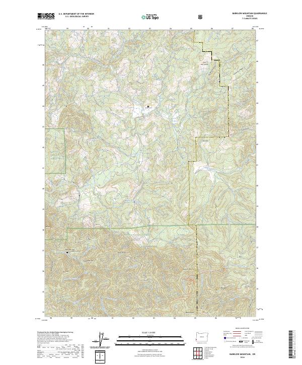
1986 Barklow Mountain
Curry County, OR
1986 Brushy Bald Mountain
Curry County, OR
1986 Cape Blanco
Curry County, OR
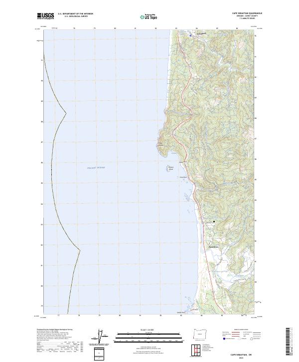
1986 Cape Sebastian
Curry County, OR
1986 Carpenterville
Curry County, OR
1986 Father Mountain
Curry County, OR
1986 Floras Lake
Curry County, OR
1986 Mount Butler
Curry County, OR
1986 Ophir
Curry County, OR
1986 Signal Buttes
Curry County, OR
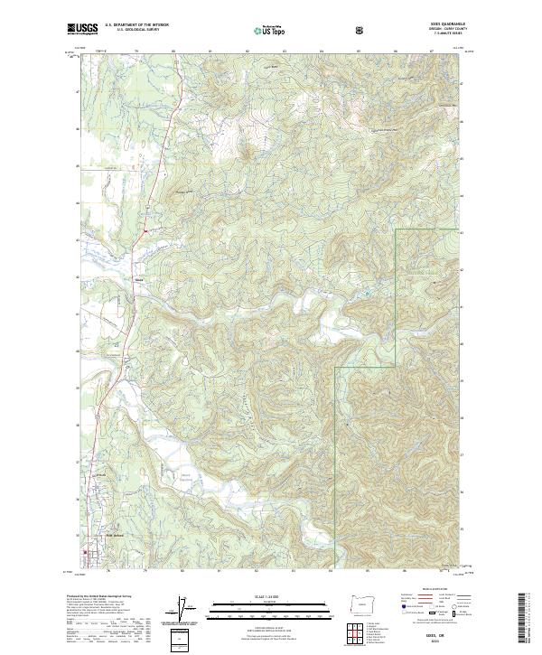
1986 Sixes
Curry County, OR
1986 Sundown Mtn
Curry County, OR
1989 Agness
Curry County, OR
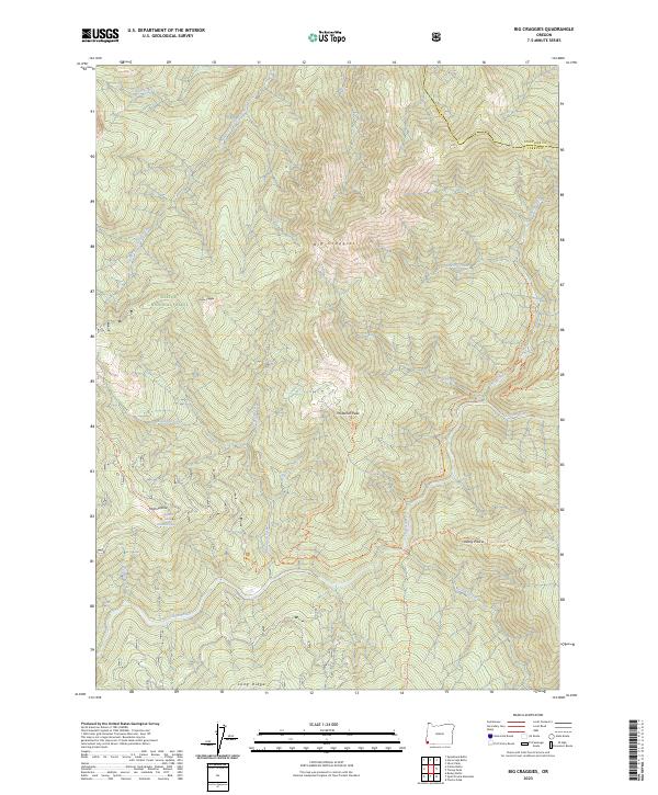
1989 Big Craggies
Curry County, OR
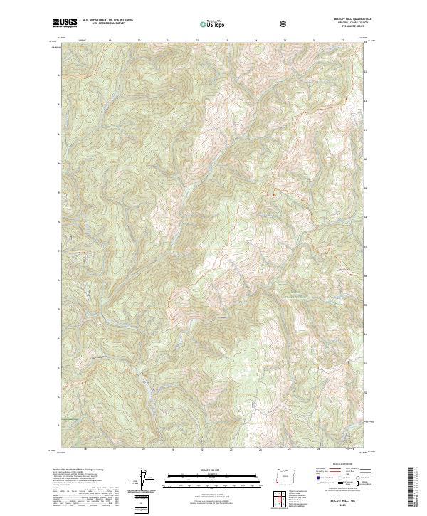
1989 Biscuit Hill
Curry County, OR
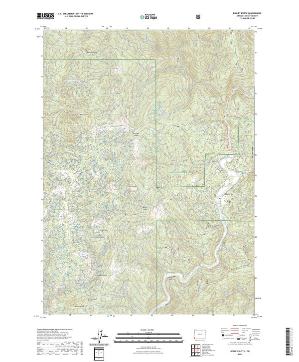
1989 Bosley Butte
Curry County, OR
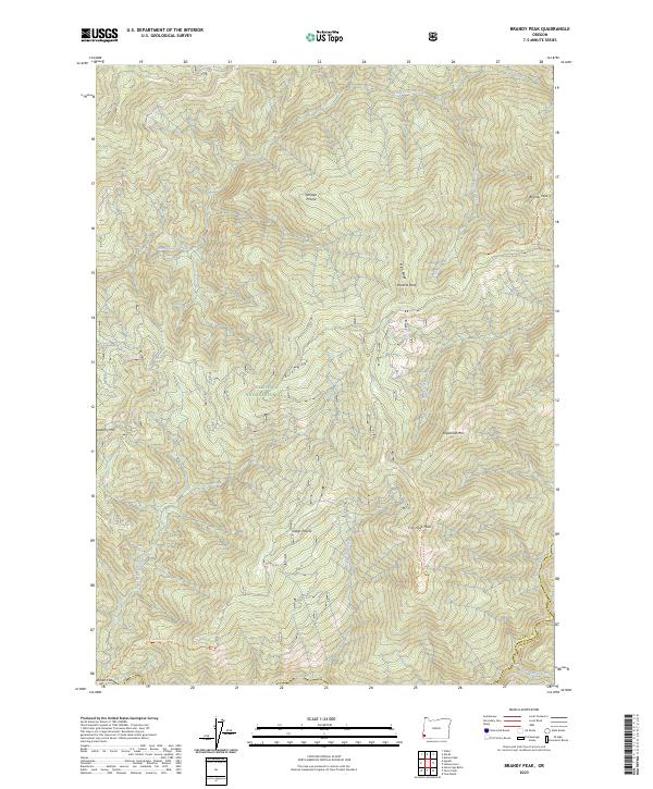
1989 Brandy Peak
Curry County, OR
1989 Chetco Peak
Curry County, OR
1989 Collier Butte
Curry County, OR
1989 Fourth of July Creek
Curry County, OR
1989 Horse Sign Butte
Curry County, OR
1989 Kelsey Peak
Curry County, OR
1989 Marial
Curry County, OR
1989 Mt. Emily
Curry County, OR

1989 Ophir Mountain
Curry County, OR
1989 Quail Prairie Mtn
Curry County, OR
1989 Quosatana Butte
Curry County, OR
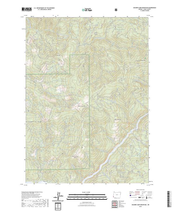
1989 Soldier Camp Mtn
Curry County, OR
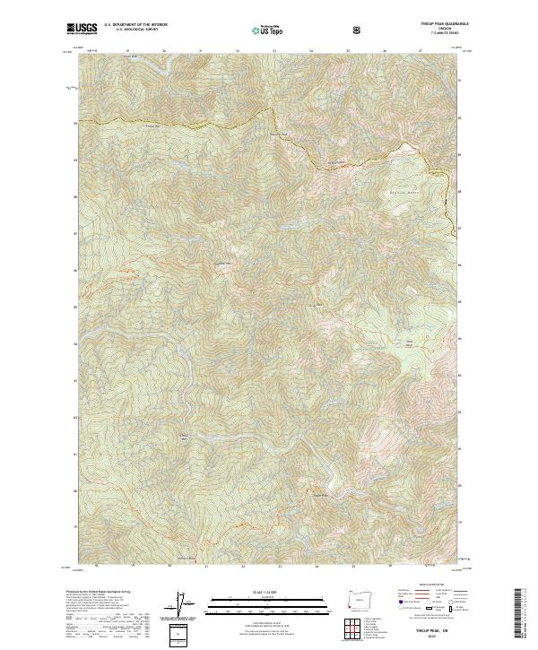
1989 Tincup Peak
Curry County, OR
1996 Barklow Mountain
Curry County, OR
1996 Biscuit Hill
Curry County, OR
1996 Calf Ranch Mountain
Curry County, OR
1996 Cape Blanco
Curry County, OR
1996 Father Mountain
Curry County, OR
1996 Floras Lake
Curry County, OR
1996 Fourth of July Creek
Curry County, OR
1996 Mount Butler
Curry County, OR
1996 Mount Emily
Curry County, OR
1996 Sixes
Curry County, OR
1998 Agness
Curry County, OR
1998 Big Craggies
Curry County, OR
1998 Bosley Butte
Curry County, OR
1998 Brandy Peak
Curry County, OR
1998 Brushy Bald Mountain
Curry County, OR
1998 Carpenterville
Curry County, OR
1998 Chetco Peak
Curry County, OR
1998 Collier Butte
Curry County, OR
1998 Horse Sign Butte
Curry County, OR
1998 Kelsey Peak
Curry County, OR
1998 Marial
Curry County, OR
1998 Ophir Mountain
Curry County, OR
1998 Quail Prairie Mountain
Curry County, OR
1998 Quosatana Butte
Curry County, OR
1998 Signal Buttes
Curry County, OR
1998 Soldier Camp Mountain
Curry County, OR
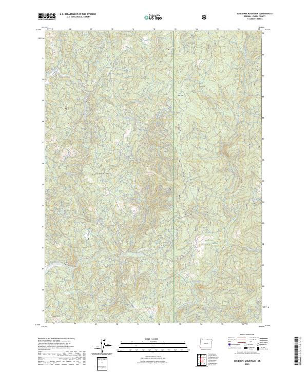
1998 Sundown Mountain
Curry County, OR
1998 Tincup Peak
Curry County, OR
2011 Agness
Curry County, OR
2011 Barklow Mountain
Curry County, OR
2011 Big Craggies
Curry County, OR
2011 Biscuit Hill
Curry County, OR
2011 Bosley Butte
Curry County, OR
2011 Brandy Peak
Curry County, OR
2011 Brushy Bald Mountain
Curry County, OR
2011 Calf Ranch Mountain
Curry County, OR
2011 Cape Blanco
Curry County, OR
2011 Cape Sebastian
Curry County, OR
2011 Carpenterville
Curry County, OR
2011 Chetco Peak
Curry County, OR
2011 Collier Butte
Curry County, OR
2011 Father Mountain
Curry County, OR
2011 Floras Lake
Curry County, OR
2011 Fourth of July Creek
Curry County, OR
2011 Horse Sign Butte
Curry County, OR
2011 Kelsey Peak
Curry County, OR
2011 Mack Point
Curry County, OR
2011 Marial
Curry County, OR
2011 Mount Butler
Curry County, OR
2011 Mount Emily
Curry County, OR
2011 Ophir
Curry County, OR
2011 Ophir Mountain
Curry County, OR
2011 Port Orford OE W
Curry County, OR
2011 Quail Prairie Mountain
Curry County, OR
2011 Quosatana Butte
Curry County, OR
2011 Signal Buttes
Curry County, OR
2011 Sixes
Curry County, OR
2011 Soldier Camp Mountain
Curry County, OR
2011 Sundown Mountain
Curry County, OR
2011 Tincup Peak
Curry County, OR
2014 Agness
Curry County, OR
2014 Barklow Mountain
Curry County, OR
2014 Big Craggies
Curry County, OR
2014 Biscuit Hill
Curry County, OR
2014 Bosley Butte
Curry County, OR
2014 Brandy Peak
Curry County, OR
2014 Brushy Bald Mountain
Curry County, OR
2014 Calf Ranch Mountain
Curry County, OR
2014 Cape Blanco
Curry County, OR
2014 Cape Blanco OE W
Curry County, OR
2014 Cape Sebastian
Curry County, OR
2014 Carpenterville
Curry County, OR
2014 Chetco Peak
Curry County, OR
2014 Collier Butte
Curry County, OR
2014 Father Mountain
Curry County, OR
2014 Floras Lake
Curry County, OR
2014 Fourth of July Creek
Curry County, OR
2014 Horse Sign Butte
Curry County, OR
2014 Kelsey Peak
Curry County, OR
2014 Mack Point
Curry County, OR
2014 Marial
Curry County, OR
2014 Mount Butler
Curry County, OR
2014 Mount Emily
Curry County, OR
2014 Ophir
Curry County, OR
2014 Ophir Mountain
Curry County, OR
2014 Port Orford OE W
Curry County, OR
2014 Quail Prairie Mountain
Curry County, OR
2014 Quosatana Butte
Curry County, OR
2014 Signal Buttes
Curry County, OR
2014 Sixes
Curry County, OR
2014 Soldier Camp Mountain
Curry County, OR
2014 Sundown Mountain
Curry County, OR
2014 Tincup Peak
Curry County, OR
2017 Agness
Curry County, OR

2017 Barklow Mountain
Curry County, OR
2017 Big Craggies
Curry County, OR
2017 Biscuit Hill
Curry County, OR
2017 Bosley Butte
Curry County, OR
2017 Brandy Peak
Curry County, OR
2017 Brushy Bald Mountain
Curry County, OR
2017 Calf Ranch Mountain
Curry County, OR
2017 Cape Blanco
Curry County, OR
2017 Cape Blanco OE W
Curry County, OR
2017 Cape Sebastian
Curry County, OR

2017 Carpenterville
Curry County, OR

2017 Chetco Peak
Curry County, OR
2017 Collier Butte
Curry County, OR
2017 Father Mountain
Curry County, OR
2017 Floras Lake
Curry County, OR
2017 Fourth of July Creek
Curry County, OR
2017 Horse Sign Butte
Curry County, OR
2017 Kelsey Peak
Curry County, OR
2017 Mack Point
Curry County, OR
2017 Marial
Curry County, OR
2017 Mount Butler
Curry County, OR
2017 Mount Emily
Curry County, OR
2017 Ophir
Curry County, OR
2017 Ophir Mountain
Curry County, OR
2017 Port Orford OE W
Curry County, OR
2017 Quail Prairie Mountain
Curry County, OR
2017 Quosatana Butte
Curry County, OR
2017 Signal Buttes
Curry County, OR
2017 Sixes
Curry County, OR
2017 Soldier Camp Mountain
Curry County, OR
2017 Sundown Mountain
Curry County, OR
2017 Tincup Peak
Curry County, OR
2020 Agness
Curry County, OR
2020 Barklow Mountain
Curry County, OR
2020 Big Craggies
Curry County, OR
2020 Biscuit Hill
Curry County, OR
2020 Bosley Butte
Curry County, OR

2020 Brandy Peak
Curry County, OR
2020 Brushy Bald Mountain
Curry County, OR
2020 Calf Ranch Mountain
Curry County, OR
2020 Cape Blanco
Curry County, OR
2020 Cape Blanco OE W
Curry County, OR
2020 Cape Sebastian
Curry County, OR
2020 Carpenterville
Curry County, OR
2020 Chetco Peak
Curry County, OR
2020 Collier Butte
Curry County, OR
2020 Father Mountain
Curry County, OR
2020 Floras Lake
Curry County, OR
2020 Fourth of July Creek
Curry County, OR
2020 Horse Sign Butte
Curry County, OR
2020 Kelsey Peak
Curry County, OR
2020 Mack Point
Curry County, OR
2020 Marial
Curry County, OR
2020 Mount Butler
Curry County, OR
2020 Mount Emily
Curry County, OR
2020 Ophir
Curry County, OR
2020 Ophir Mountain
Curry County, OR
2020 Port Orford OE W
Curry County, OR
2020 Quail Prairie Mountain
Curry County, OR
2020 Quosatana Butte
Curry County, OR
2020 Signal Buttes
Curry County, OR
2020 Sixes
Curry County, OR
2020 Soldier Camp Mountain
Curry County, OR
2020 Sundown Mountain
Curry County, OR
2020 Tincup Peak
Curry County, OR
2023 Big Craggies
Curry County, OR
2023 Biscuit Hill
Curry County, OR
2023 Brandy Peak
Curry County, OR
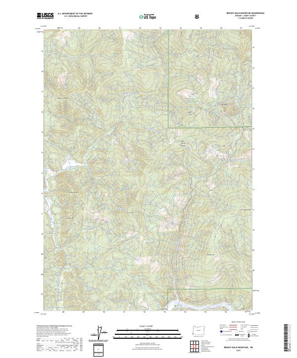
2023 Brushy Bald Mountain
Curry County, OR
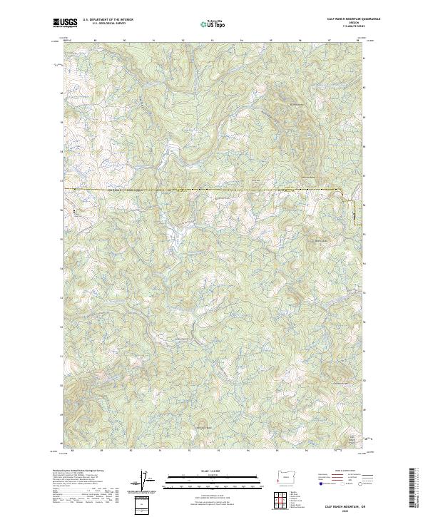
2023 Calf Ranch Mountain
Curry County, OR

2023 Cape Blanco
Curry County, OR
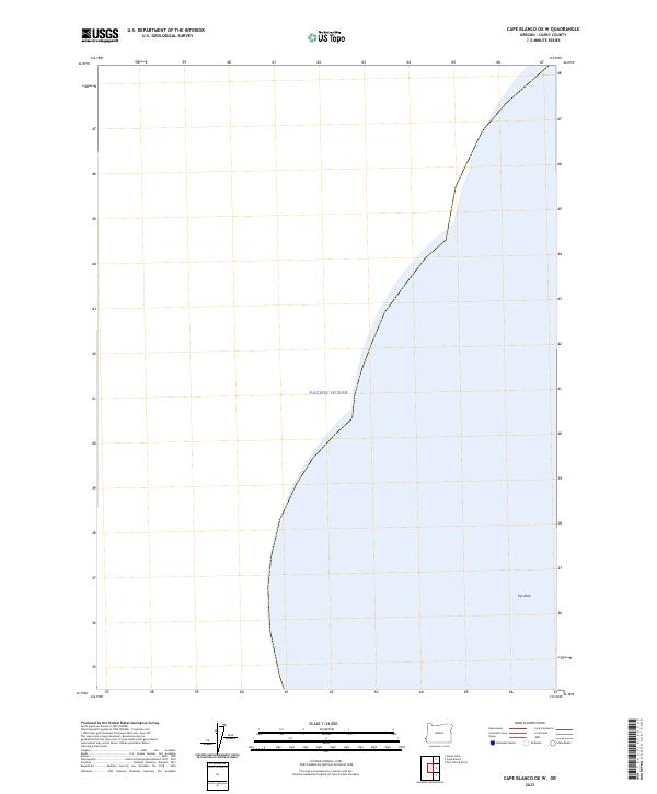
2023 Cape Blanco OE W
Curry County, OR
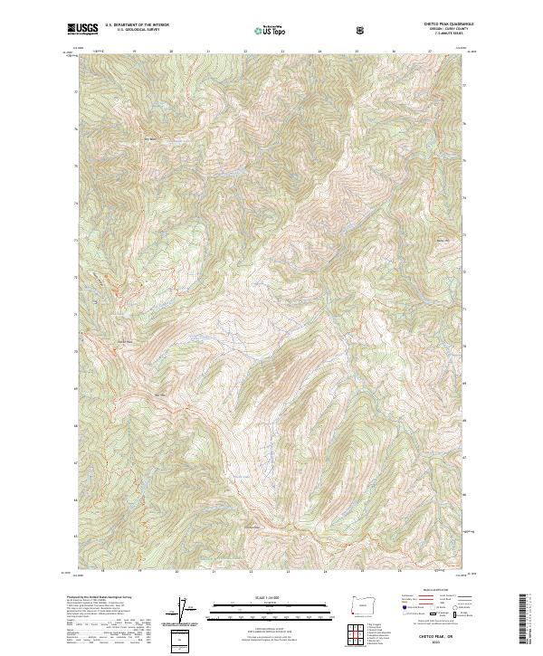
2023 Chetco Peak
Curry County, OR
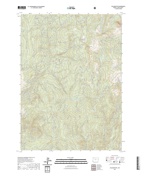
2023 Collier Butte
Curry County, OR
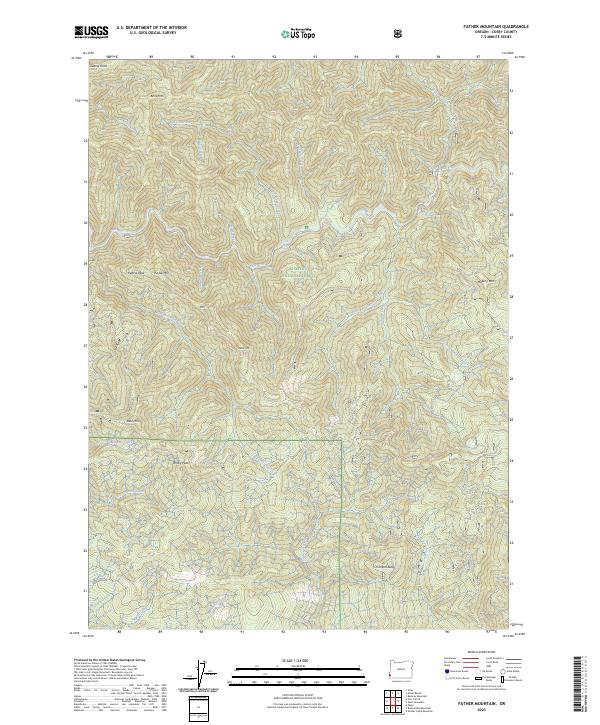
2023 Father Mountain
Curry County, OR
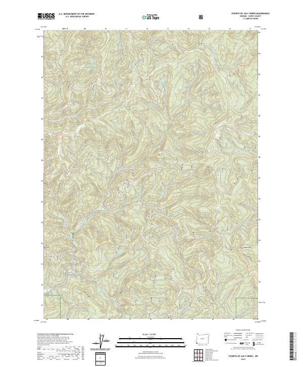
2023 Fourth of July Creek
Curry County, OR
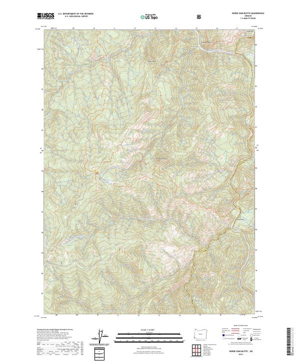
2023 Horse Sign Butte
Curry County, OR
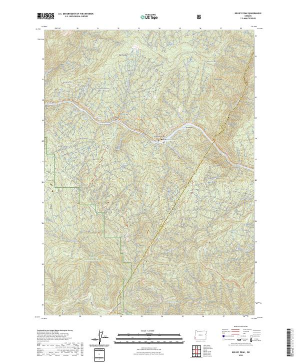
2023 Kelsey Peak
Curry County, OR
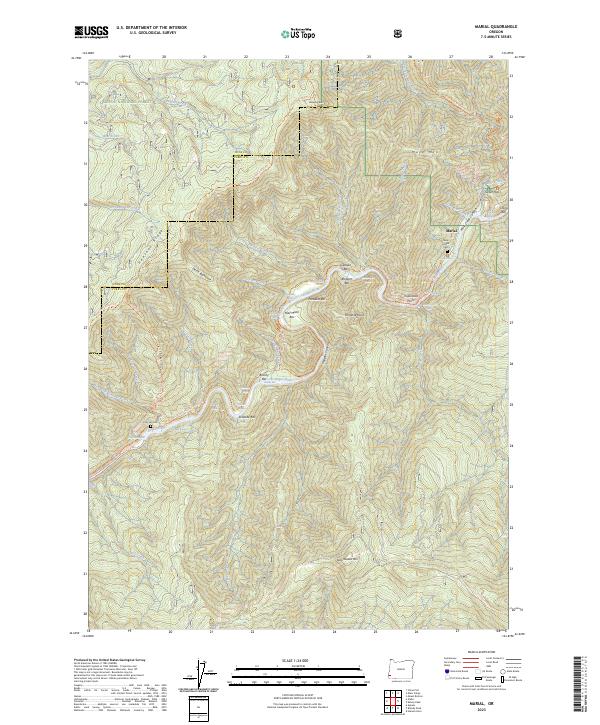
2023 Marial
Curry County, OR
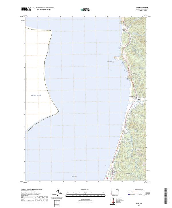
2023 Ophir
Curry County, OR
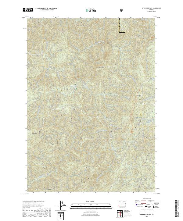
2023 Ophir Mountain
Curry County, OR
2023 Signal Buttes
Curry County, OR
2023 Sixes
Curry County, OR
2023 Soldier Camp Mountain
Curry County, OR
2023 Sundown Mountain
Curry County, OR
2023 Tincup Peak
Curry County, OR
2024 Agness
Curry County, OR
2024 Barklow Mountain
Curry County, OR
2024 Bosley Butte
Curry County, OR
2024 Cape Blanco
Curry County, OR
2024 Cape Sebastian
Curry County, OR
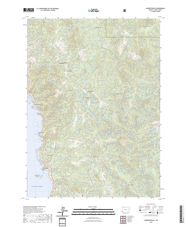
2024 Carpenterville
Curry County, OR
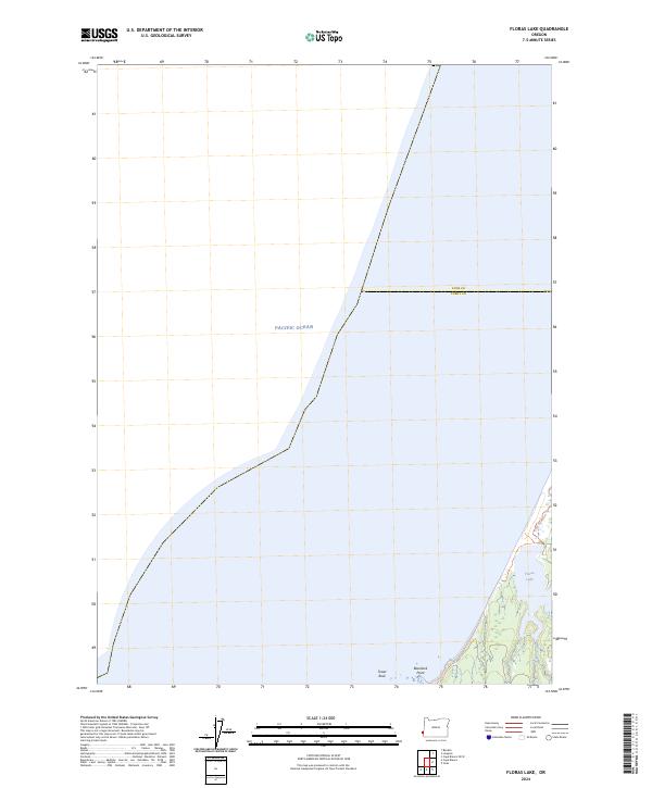
2024 Floras Lake
Curry County, OR
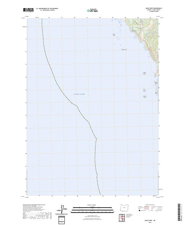
2024 Mack Point
Curry County, OR
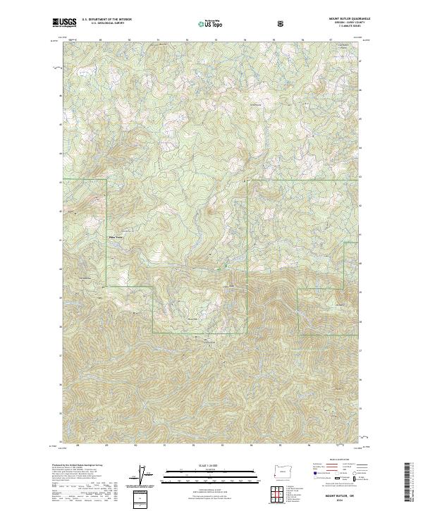
2024 Mount Butler
Curry County, OR
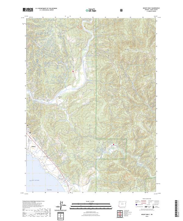
2024 Mount Emily
Curry County, OR

2024 Ophir
Curry County, OR
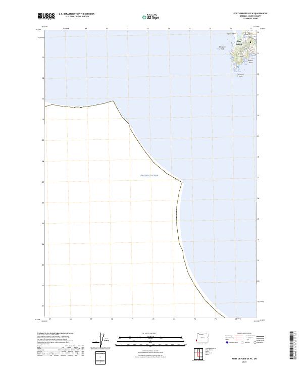
2024 Port Orford OE W
Curry County, OR
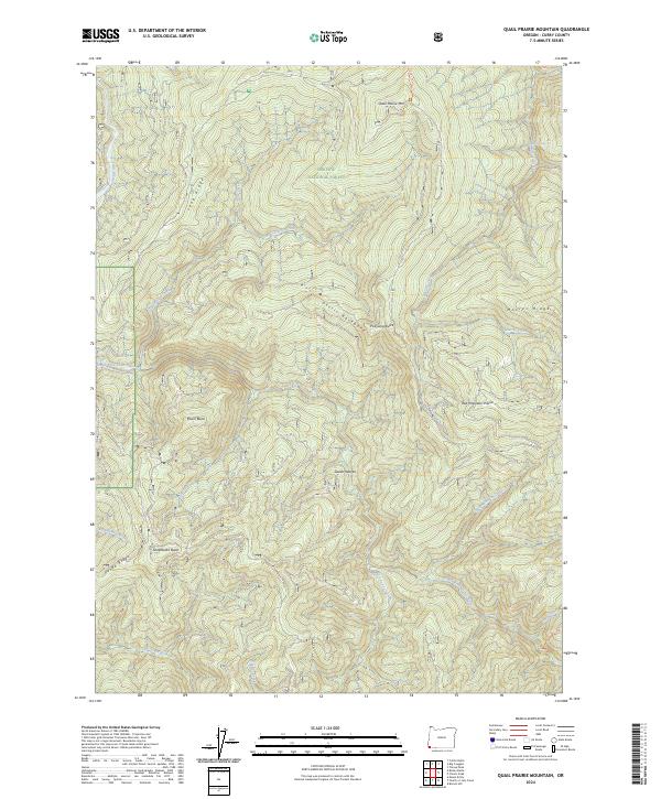
2024 Quail Prairie Mountain
Curry County, OR
2024 Quosatana Butte
Curry County, OR