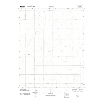
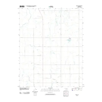
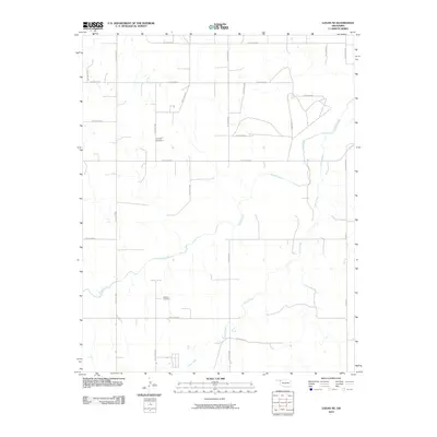
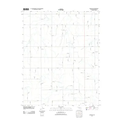
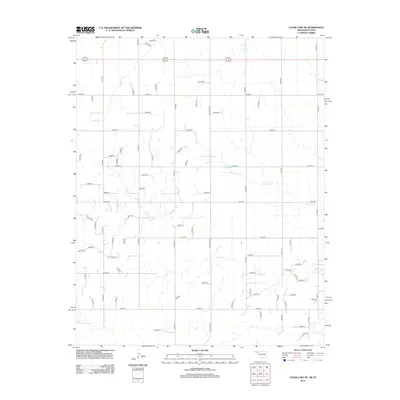
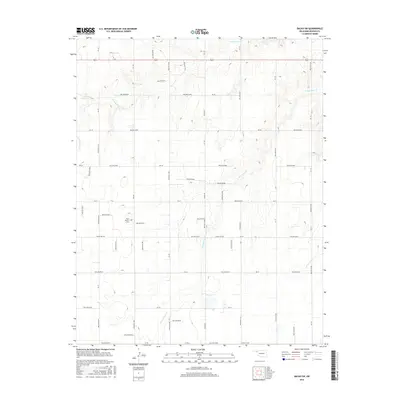
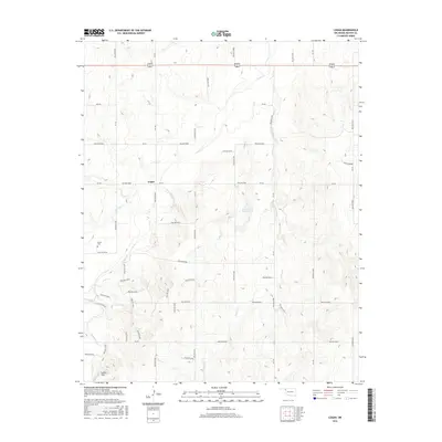
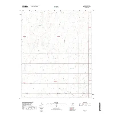
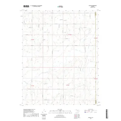
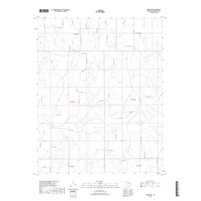
2022 Map of Beaver NW
USGS Topo · Published 2022About this map
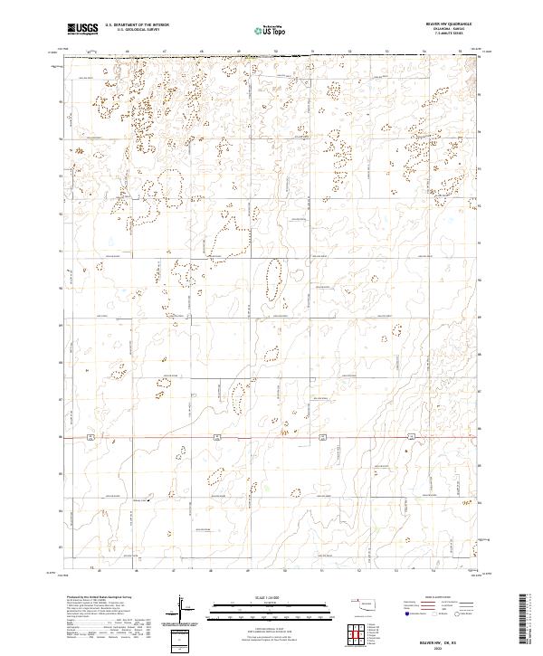
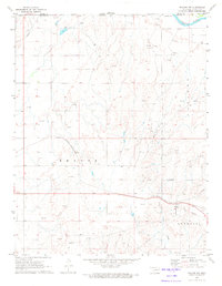
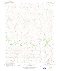
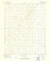
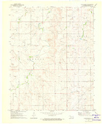
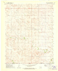
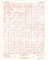
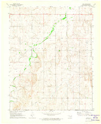
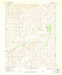
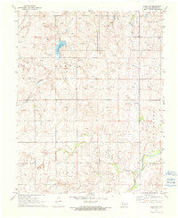
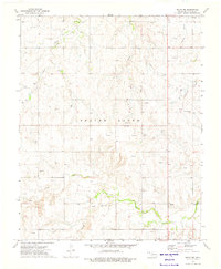
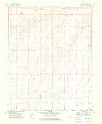
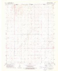
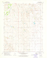
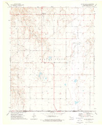
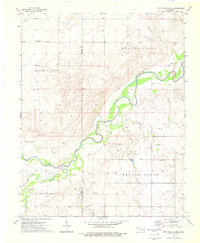
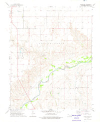
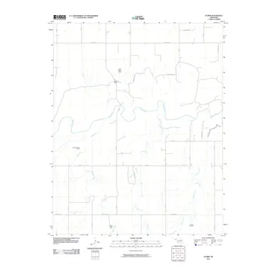
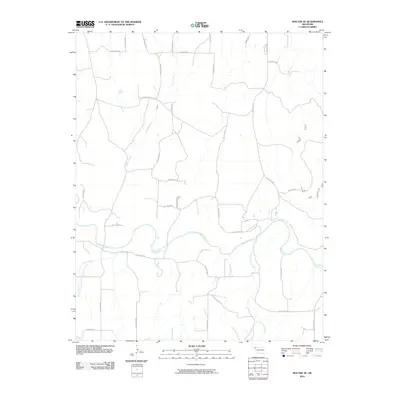
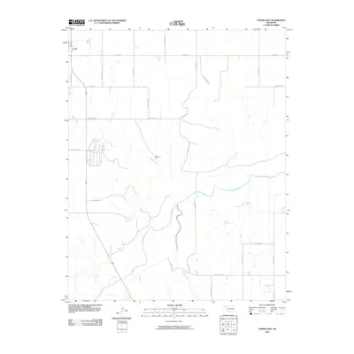
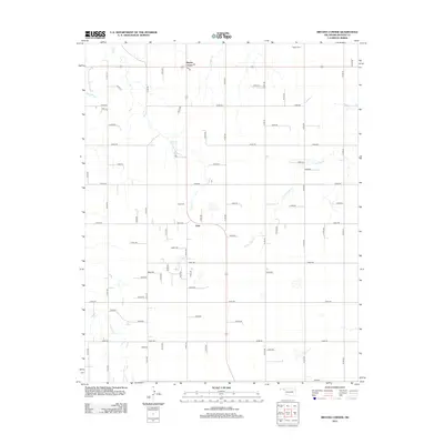
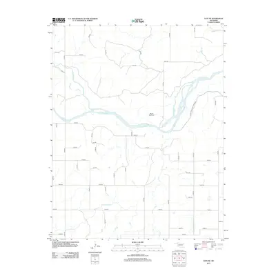
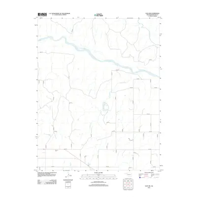
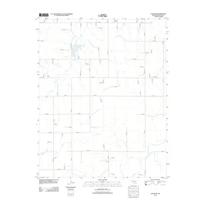
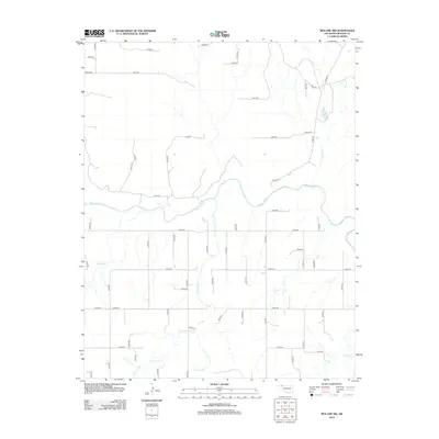
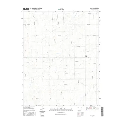
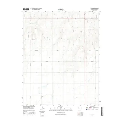
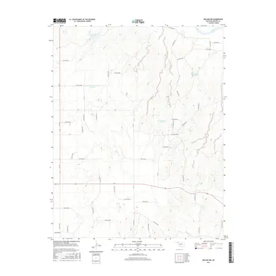
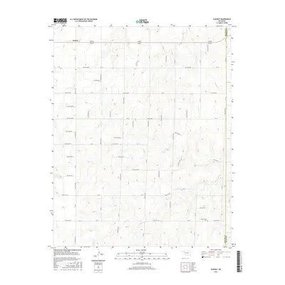
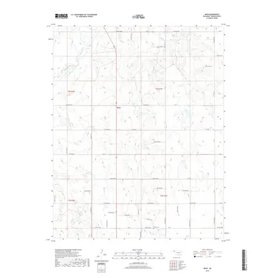
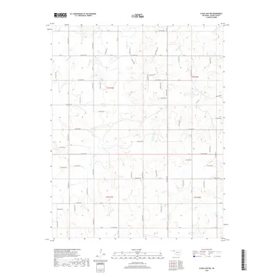
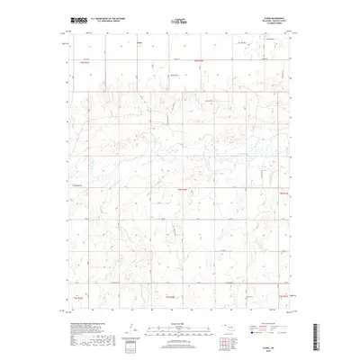
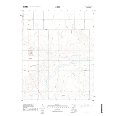
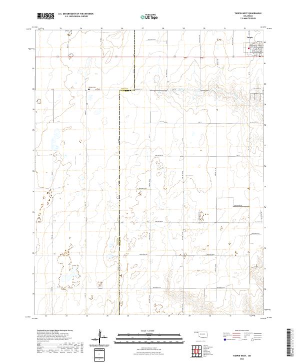
Beaver Oklahoma's northwest reaches are defined by the rigid geometry of the Public Land Survey System, where sections 1 through 36 are etched across the high plains of the Panhandle. The landscape is dominated by a systematic grid of section-line roads, such as Hollow N1270 and Hollow E0050, which facilitate movement between sparse homesteads and agricultural tracts. A lone point of communal history is found at the Midway Cem, located in the southwest corner of the quadrangle. The terrain is marked by subtle depressions and hollows, identified by a detailed local road naming convention including Hollow N1260 and Hollow E0040. This network of local connectors and highways, including Hwy E0050, illustrates the late-twentieth and early-twenty-first-century infrastructure supporting the rural economy and family landholdings in this part of the state.
Find a feature on this map
74 named features on this map. Tap any name to fly to it.
Don’t see what you’re looking for? This feature index may not catch every label — zoom into the map to look around manually.
Map Details
Editions of this 2022 Beaver NW Map
This is the sole edition of this map. No revisions or reprints were ever made.
Historical Maps of Seward County Through Time
162 maps found
1970 Gate NE
Beaver County, OK
1970 Gate NW
Beaver County, OK
1970 Mocane
Beaver County, OK
1970 Mocane NW
Beaver County, OK
1970 Mocane SE
Beaver County, OK
1971 Clear Lake
Beaver County, OK
1971 Clear Lake NW
Beaver County, OK
1971 Clear Lake SE
Beaver County, OK
1971 Clear Lake SW
Beaver County, OK
1971 Logan
Beaver County, OK
1971 Logan NE
Beaver County, OK
1971 Logan NW
Beaver County, OK
1971 Mocane SW
Beaver County, OK
1971 Slapout
Beaver County, OK
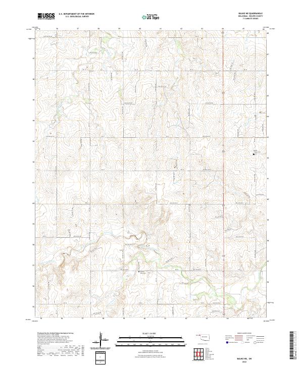
1973 Balko
Beaver County, OK
1973 Balko NE
Beaver County, OK
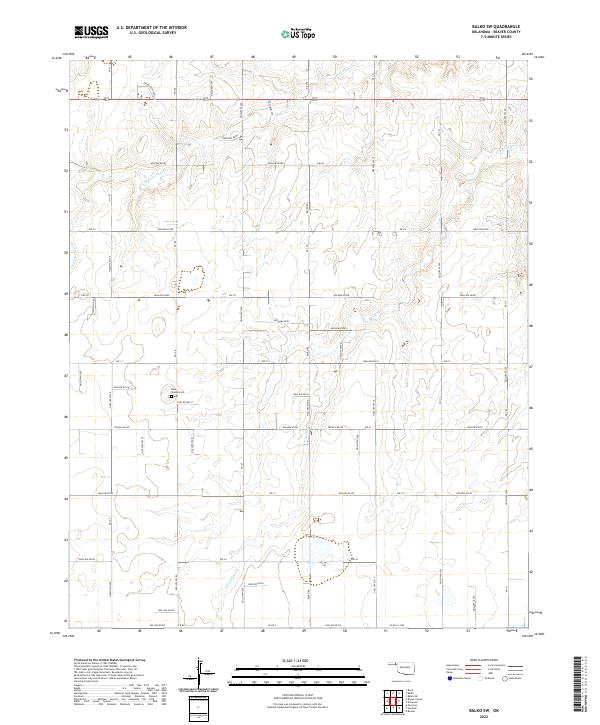
1973 Balko SW
Beaver County, OK
1973 Beaver NW
Beaver County, OK
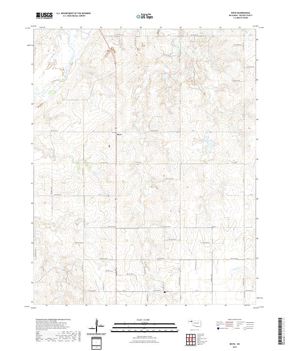
1973 Boyd
Beaver County, OK
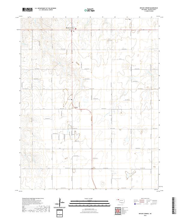
1973 Bryans Corner
Beaver County, OK
1973 Bryans Corner SW
Beaver County, OK
1973 Elmwood
Beaver County, OK
1973 Floris
Beaver County, OK
1973 Red Horse Creek
Beaver County, OK
1973 Turpin East
Beaver County, OK
1973 Turpin NE
Beaver County, OK
1973 Turpin West
Beaver County, OK
2010 Balko
Beaver County, OK
2010 Balko NE
Beaver County, OK
2010 Balko SW
Beaver County, OK
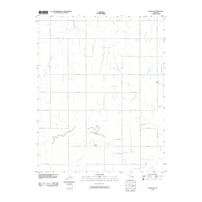
2010 Beaver NW
Beaver County, OK
2010 Boyd
Beaver County, OK
2010 Bryans Corner
Beaver County, OK
2010 Bryans Corner SW
Beaver County, OK
2010 Clear Lake
Beaver County, OK
2010 Clear Lake NW
Beaver County, OK
2010 Clear Lake SE
Beaver County, OK
2010 Clear Lake SW
Beaver County, OK
2010 Elmwood
Beaver County, OK
2010 Floris
Beaver County, OK
2010 Gate NE
Beaver County, OK
2010 Gate NW
Beaver County, OK
2010 Logan
Beaver County, OK
2010 Logan NE
Beaver County, OK
2010 Logan NW
Beaver County, OK
2010 Mocane
Beaver County, OK
2010 Mocane NW
Beaver County, OK
2010 Mocane SE
Beaver County, OK
2010 Mocane SW
Beaver County, OK
2010 Red Horse Creek
Beaver County, OK
2010 Slapout
Beaver County, OK
2010 Turpin East
Beaver County, OK
2010 Turpin NE
Beaver County, OK
2010 Turpin West
Beaver County, OK
2012 Balko
Beaver County, OK
2012 Balko NE
Beaver County, OK
2012 Balko SW
Beaver County, OK
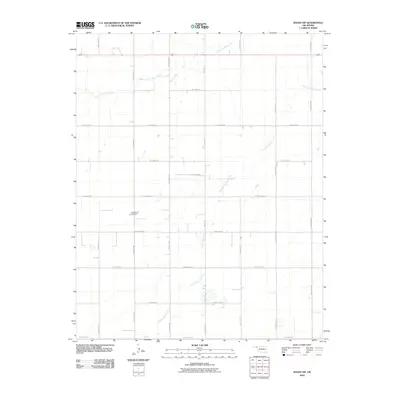
2012 Beaver NW
Beaver County, OK
2012 Boyd
Beaver County, OK
2012 Bryans Corner
Beaver County, OK
2012 Bryans Corner SW
Beaver County, OK
2012 Clear Lake
Beaver County, OK
2012 Clear Lake NW
Beaver County, OK
2012 Clear Lake SE
Beaver County, OK
2012 Clear Lake SW
Beaver County, OK
2012 Elmwood
Beaver County, OK
2012 Floris
Beaver County, OK
2012 Gate NE
Beaver County, OK
2012 Gate NW
Beaver County, OK
2012 Logan
Beaver County, OK
2012 Logan NE
Beaver County, OK
2012 Logan NW
Beaver County, OK
2012 Mocane
Beaver County, OK
2012 Mocane NW
Beaver County, OK
2012 Mocane SE
Beaver County, OK
2012 Mocane SW
Beaver County, OK
2012 Red Horse Creek
Beaver County, OK
2012 Slapout
Beaver County, OK
2012 Turpin East
Beaver County, OK
2012 Turpin NE
Beaver County, OK
2012 Turpin West
Beaver County, OK
2016 Balko
Beaver County, OK
2016 Balko NE
Beaver County, OK
2016 Balko SW
Beaver County, OK
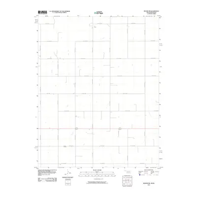
2016 Beaver NW
Beaver County, OK
2016 Boyd
Beaver County, OK
2016 Bryans Corner
Beaver County, OK

2016 Bryans Corner SW
Beaver County, OK
2016 Clear Lake
Beaver County, OK
2016 Clear Lake NW
Beaver County, OK
2016 Clear Lake SE
Beaver County, OK
2016 Clear Lake SW
Beaver County, OK
2016 Elmwood
Beaver County, OK
2016 Floris
Beaver County, OK
2016 Gate NE
Beaver County, OK
2016 Gate NW
Beaver County, OK
2016 Logan
Beaver County, OK
2016 Logan NE
Beaver County, OK
2016 Logan NW
Beaver County, OK
2016 Mocane
Beaver County, OK
2016 Mocane NW
Beaver County, OK
2016 Mocane SE
Beaver County, OK
2016 Mocane SW
Beaver County, OK
2016 Red Horse Creek
Beaver County, OK
2016 Slapout
Beaver County, OK
2016 Turpin East
Beaver County, OK
2016 Turpin NE
Beaver County, OK
2016 Turpin West
Beaver County, OK
2018 Balko
Beaver County, OK
2018 Balko NE
Beaver County, OK
2018 Balko SW
Beaver County, OK
2018 Beaver NW
Beaver County, OK
2018 Boyd
Beaver County, OK
2018 Bryans Corner
Beaver County, OK
2018 Bryans Corner SW
Beaver County, OK
2018 Clear Lake
Beaver County, OK
2018 Clear Lake NW
Beaver County, OK
2018 Clear Lake SE
Beaver County, OK
2018 Clear Lake SW
Beaver County, OK
2018 Elmwood
Beaver County, OK
2018 Floris
Beaver County, OK
2018 Gate NE
Beaver County, OK
2018 Gate NW
Beaver County, OK
2018 Logan
Beaver County, OK
2018 Logan NE
Beaver County, OK
2018 Logan NW
Beaver County, OK
2018 Mocane
Beaver County, OK
2018 Mocane NW
Beaver County, OK
2018 Mocane SE
Beaver County, OK
2018 Mocane SW
Beaver County, OK
2018 Red Horse Creek
Beaver County, OK
2018 Slapout
Beaver County, OK
2018 Turpin East
Beaver County, OK
2018 Turpin NE
Beaver County, OK
2018 Turpin West
Beaver County, OK
2022 Balko
Beaver County, OK
2022 Balko NE
Beaver County, OK
2022 Balko SW
Beaver County, OK
2022 Beaver NW
Beaver County, OK
2022 Boyd
Beaver County, OK
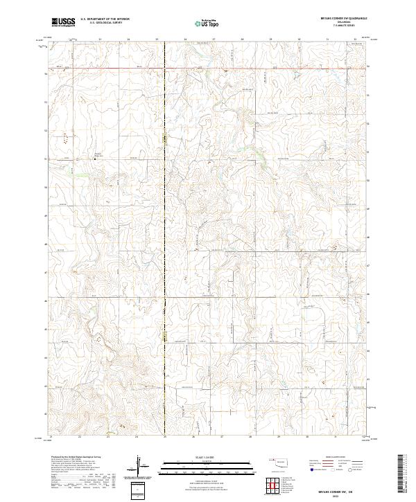
2022 Bryans Corner
Beaver County, OK
2022 Bryans Corner SW
Beaver County, OK
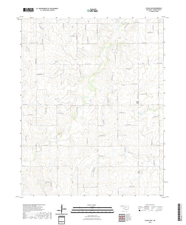
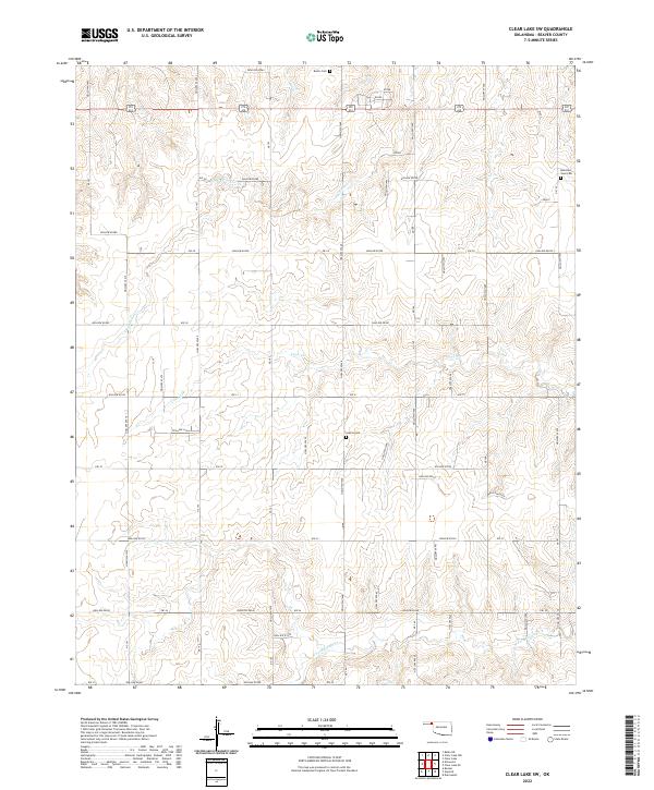
2022 Clear Lake
Beaver County, OK
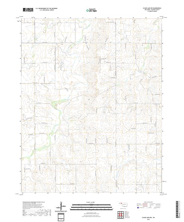
2022 Clear Lake NW
Beaver County, OK
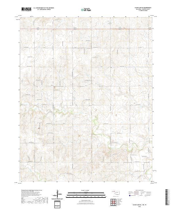
2022 Clear Lake SE
Beaver County, OK
2022 Clear Lake SW
Beaver County, OK
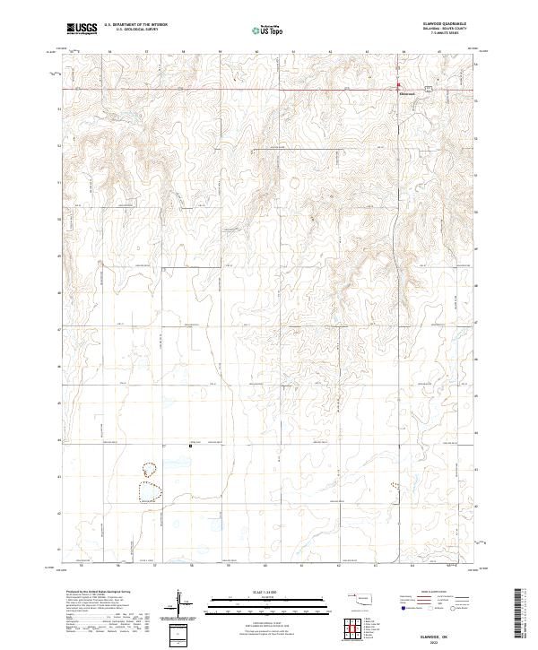
2022 Elmwood
Beaver County, OK
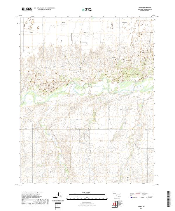
2022 Floris
Beaver County, OK
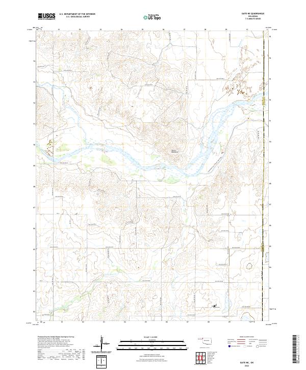
2022 Gate NE
Beaver County, OK
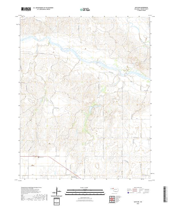
2022 Gate NW
Beaver County, OK
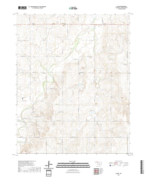
2022 Logan
Beaver County, OK
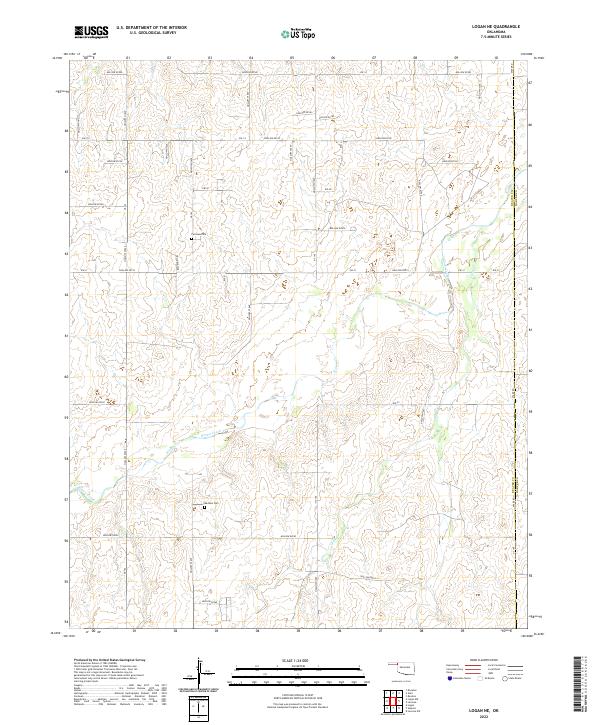
2022 Logan NE
Beaver County, OK
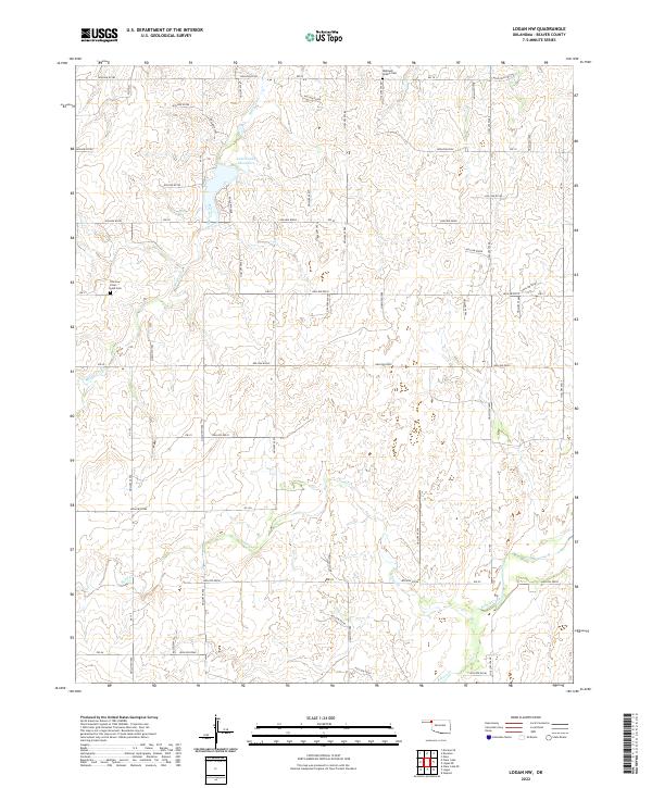
2022 Logan NW
Beaver County, OK
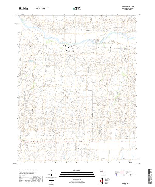
2022 Mocane
Beaver County, OK
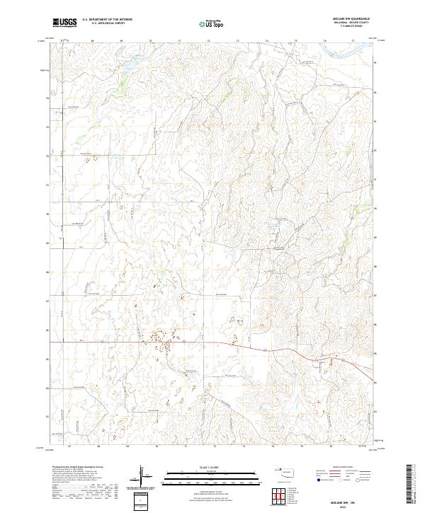
2022 Mocane NW
Beaver County, OK
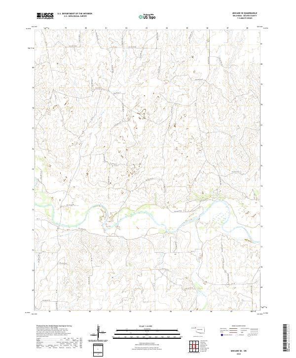
2022 Mocane SE
Beaver County, OK
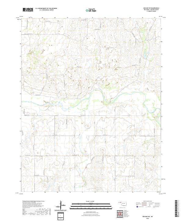
2022 Mocane SW
Beaver County, OK
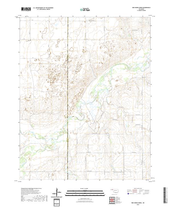
2022 Red Horse Creek
Beaver County, OK
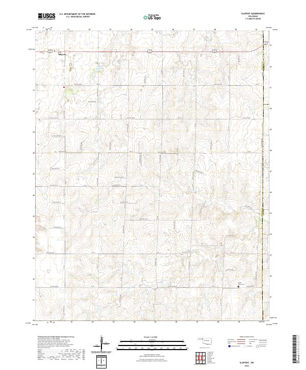
2022 Slapout
Beaver County, OK
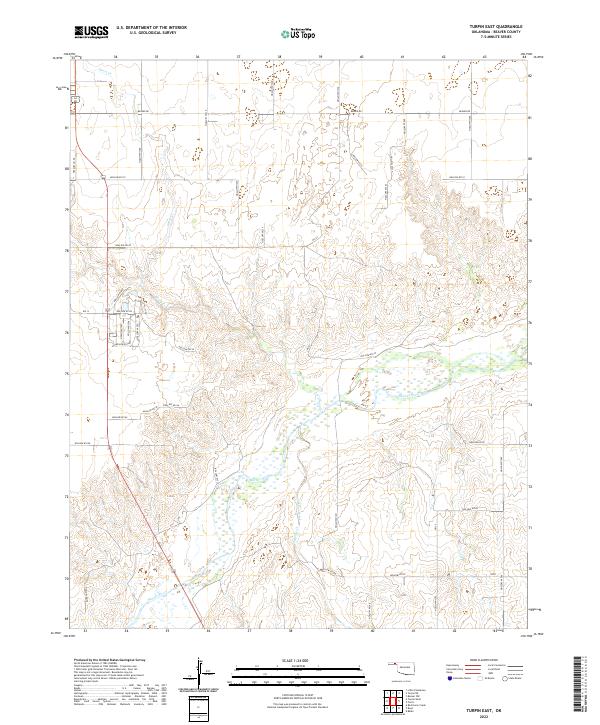
2022 Turpin East
Beaver County, OK
2022 Turpin NE
Beaver County, OK
2022 Turpin West
Beaver County, OK