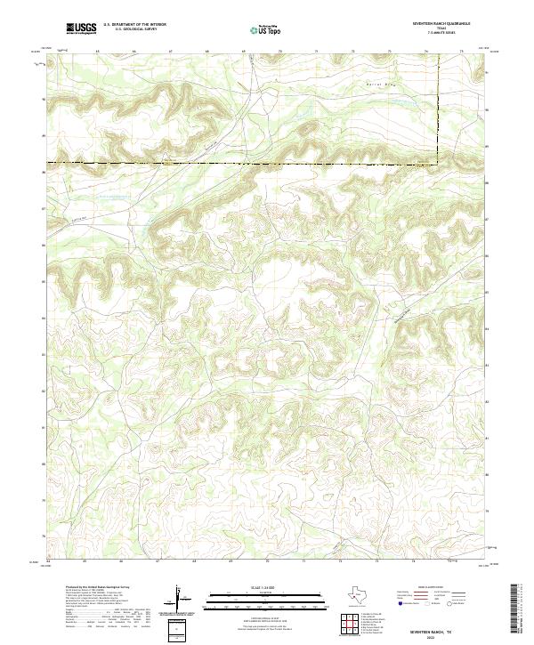
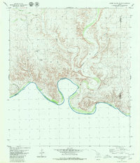
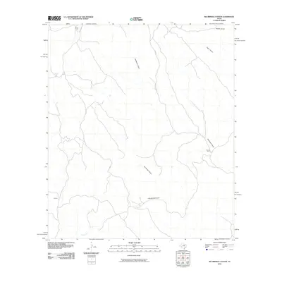
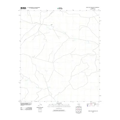
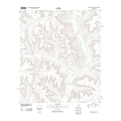
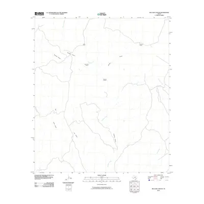
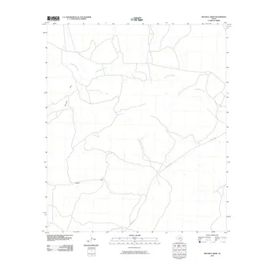
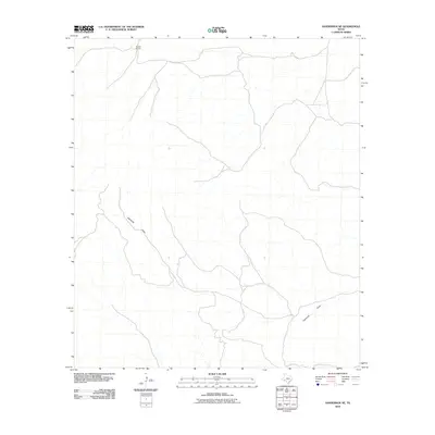
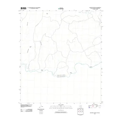
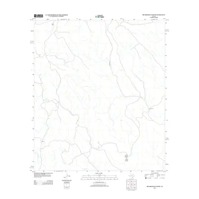
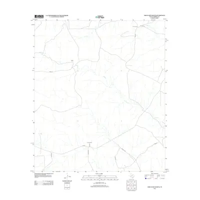
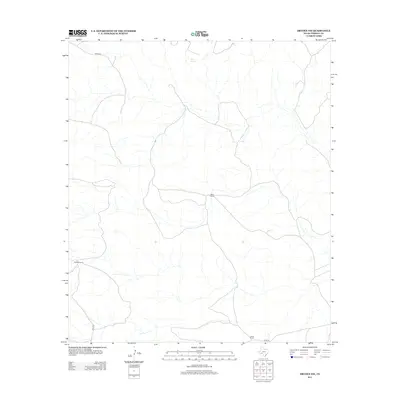
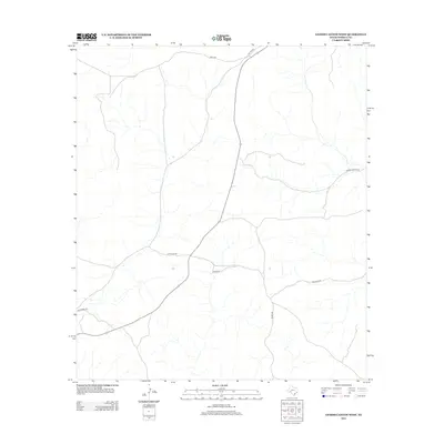
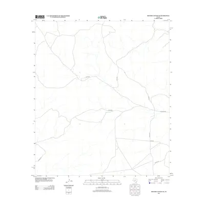
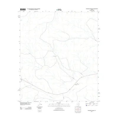
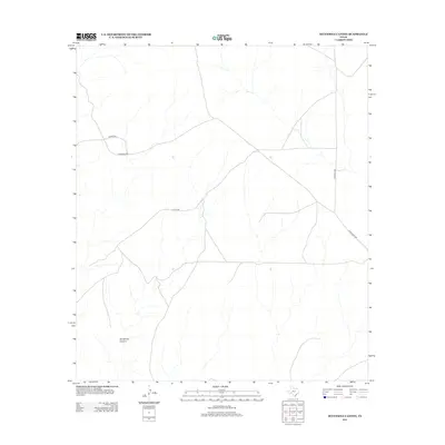
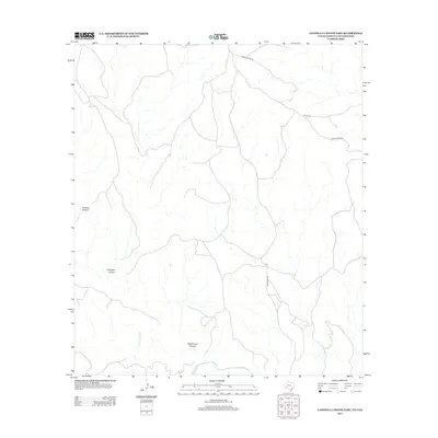
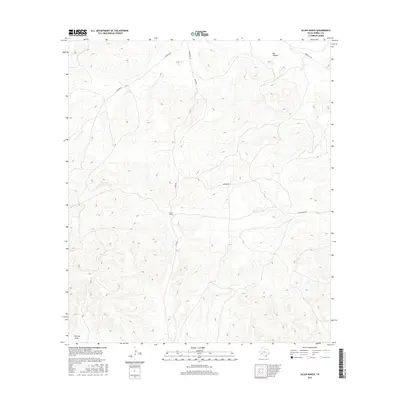
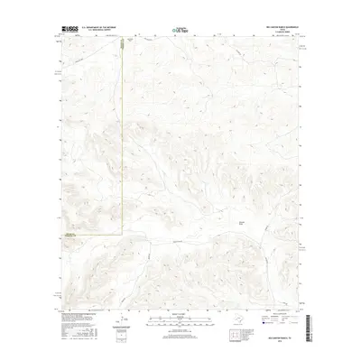
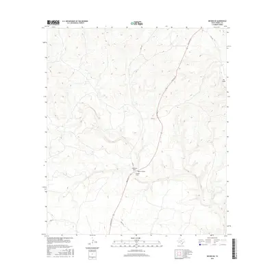
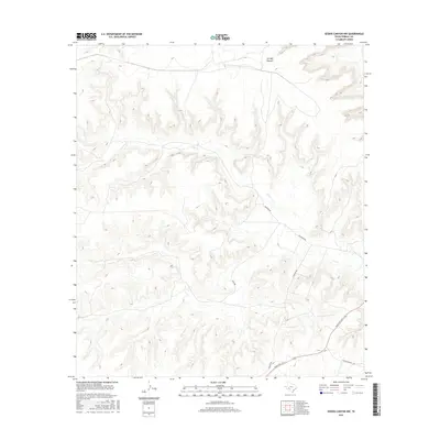
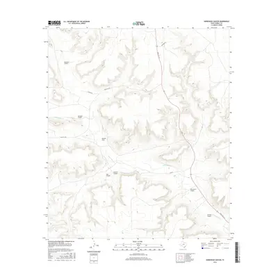
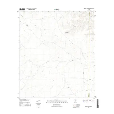
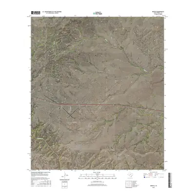
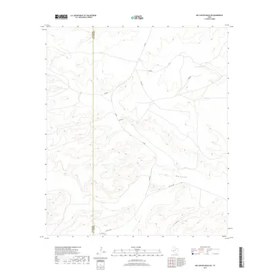
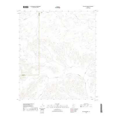
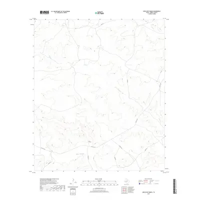
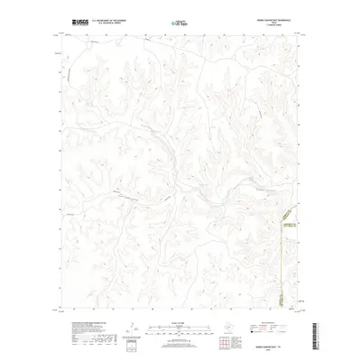
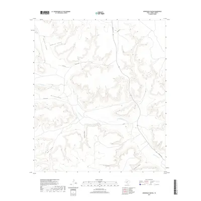
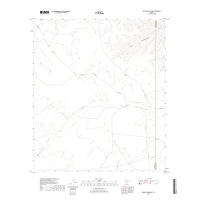
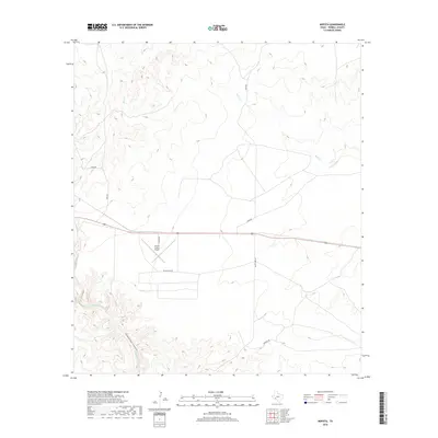
2022 Map of Seventeen Ranch
USGS Topo · Published 2022About this map
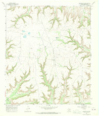
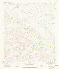
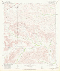
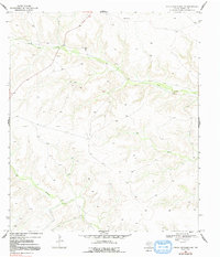
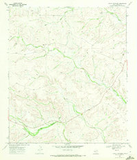
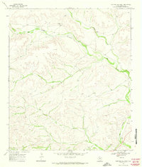
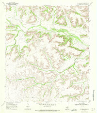
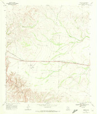
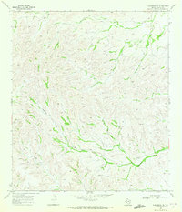
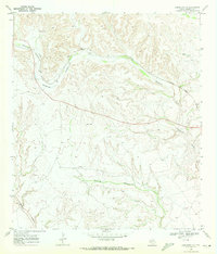
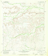
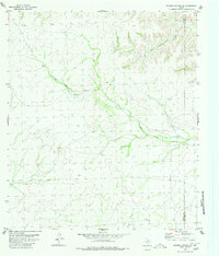
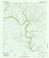
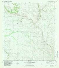
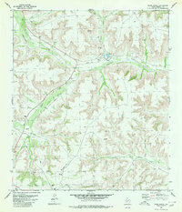
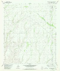
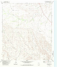
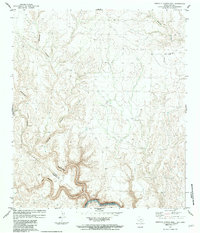
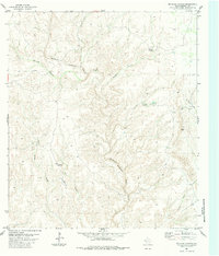
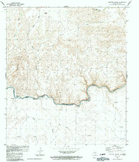
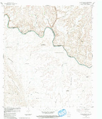
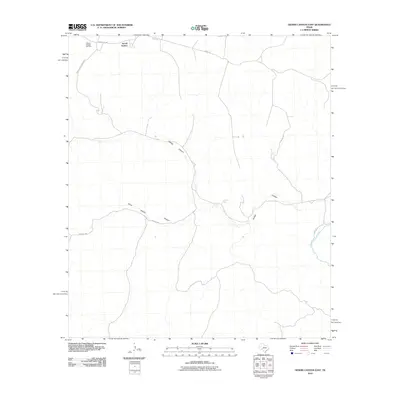
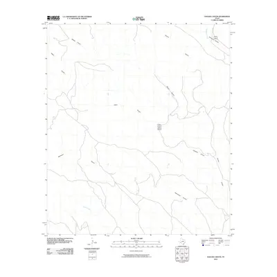
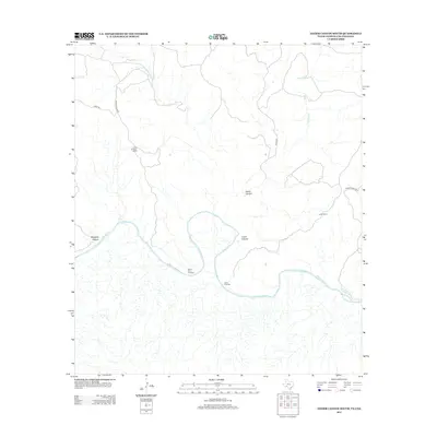
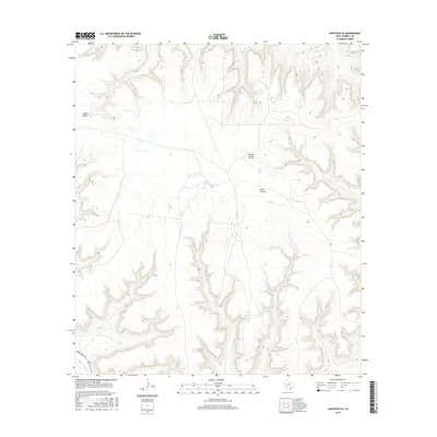
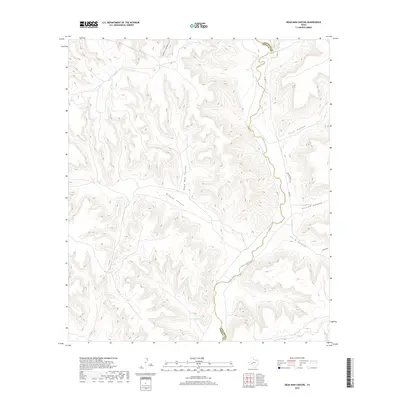
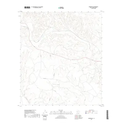
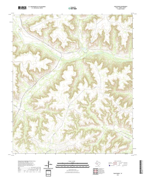
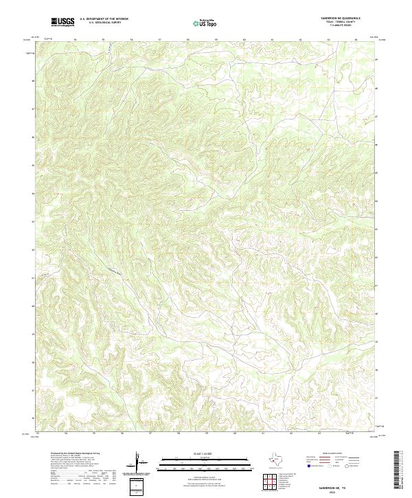
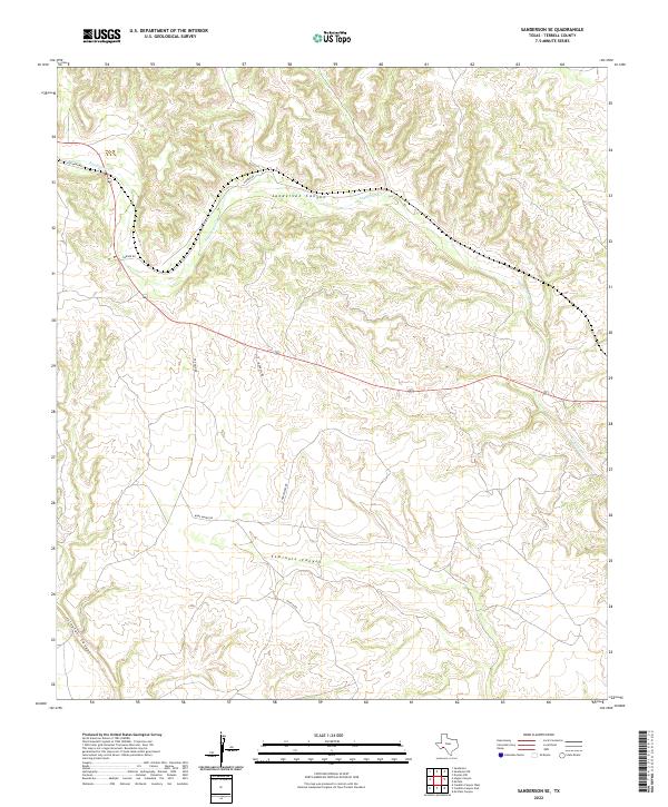
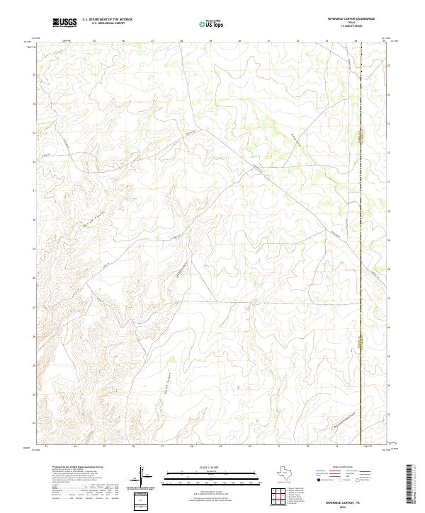
The boundary between Pecos Co and Terrell Co bisects this high desert landscape, where the drainage patterns of the Trans-Pecos define the terrain. The northern reaches are shaped by Harral Draw and the upper segments of Independence Cr, including the N Fork Independence Cr. These intermittent watercourses and deep arroyos, like Seventeen Draw in the south, illustrate the essential role of seasonal hydrology in this arid region. Ranching infrastructure provides the primary human footprint, with Ranch Rd 2886 and Harral Rd connecting remote parcels across the county line. The presence of Tower Rd near Dry Cr further highlights the utilitarian network of roads required to manage and navigate the vast ranchlands of the western Edwards Plateau.
Find a feature on this map
9 named features on this map. Tap any name to fly to it.
Don’t see what you’re looking for? This feature index may not catch every label — zoom into the map to look around manually.
Map Details
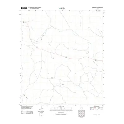
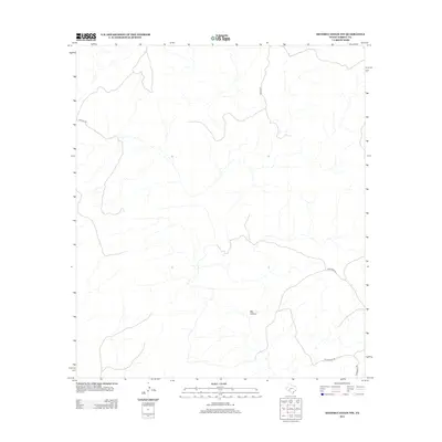
Editions of this 2022 Seventeen Ranch Map
This is the sole edition of this map. No revisions or reprints were ever made.
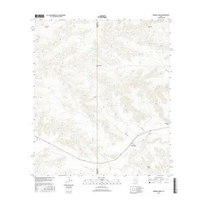
Historical Maps of Pecos County Through Time
230 maps found
1918 Dryden Crossing
Terrell County, TX

1943 Malvado
Terrell County, TX

1944 Malvado
Terrell County, TX
1967 Dead Man Canyon
Terrell County, TX
1967 Horsehead Canyon
Terrell County, TX
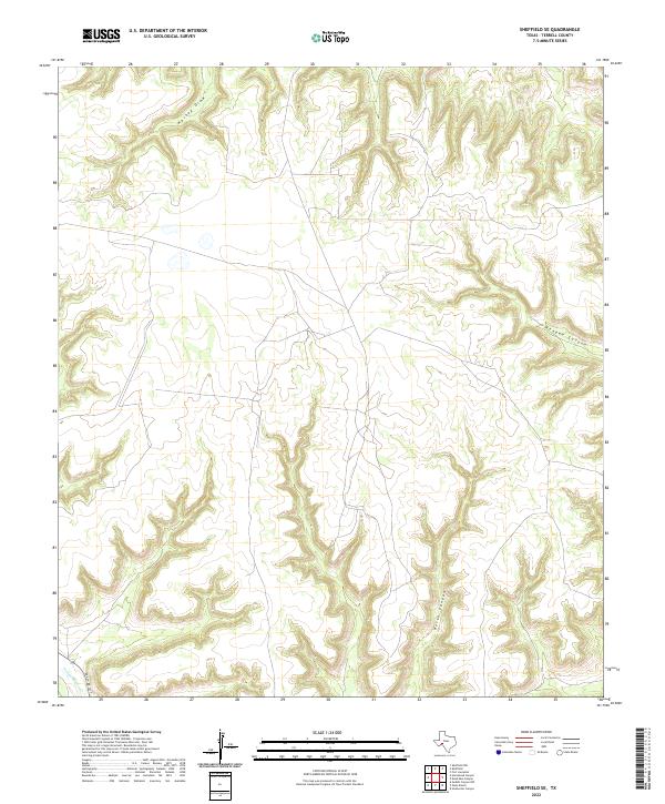
1967 Sheffield SE
Terrell County, TX
1968 Big Brindle Canyon
Terrell County, TX
1968 Dryden
Terrell County, TX
1968 Ninemile Ranch
Terrell County, TX
1969 Big Canyon Ranch NE
Terrell County, TX
1969 Big Canyon Ranch
Terrell County, TX
1969 Circle Dot Ranch NE
Terrell County, TX
1969 Circle Dot Ranch
Terrell County, TX
1969 Continental Ranch
Terrell County, TX
1969 Dryden NE
Terrell County, TX

1969 Dryden NW
Terrell County, TX
1969 Hackberry Draw SE
Terrell County, TX
1969 Hagler Canyon
Terrell County, TX
1969 Mitchell Draw
Terrell County, TX
1969 Mofeta
Terrell County, TX
1969 Sanderson NE
Terrell County, TX
1969 Sanderson SE
Terrell County, TX
1969 Seventeen Ranch
Terrell County, TX
1979 Cook Creek North
Terrell County, TX
1979 Cook Creek South
Terrell County, TX
1979 Lozier Canyon North
Terrell County, TX
1979 Lozier Canyon South
Terrell County, TX
1980 Geddis Canyon East
Terrell County, TX
1980 Geddis Canyon NW
Terrell County, TX
1980 Geddis Canyon West
Terrell County, TX
1980 Meyers Canyon NE
Terrell County, TX
1980 Meyers Canyon NW
Terrell County, TX
1980 Meyers Canyon
Terrell County, TX
1980 Oasis Ranch
Terrell County, TX
1980 Sevenmile Canyon
Terrell County, TX
1983 Balcon Creek
Terrell County, TX
1983 Candilla Canyon East
Terrell County, TX
1983 McClain Canyon
Terrell County, TX
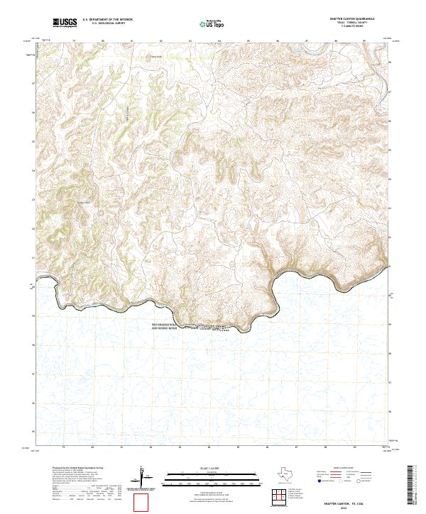
1983 Shafter Canyon
Terrell County, TX
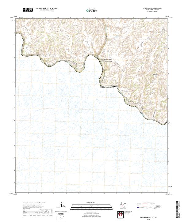
1983 Taylor Canyon
Terrell County, TX
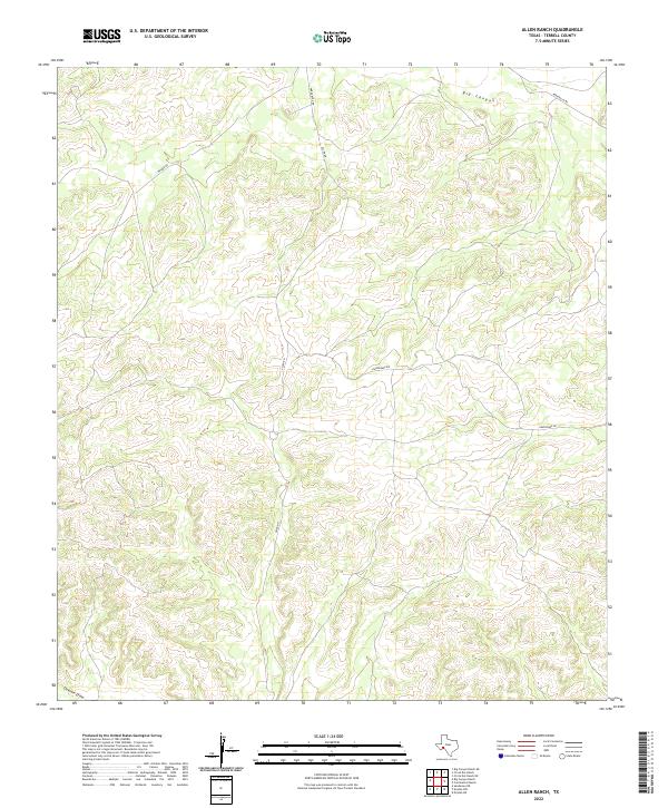
2010 Allen Ranch
Terrell County, TX
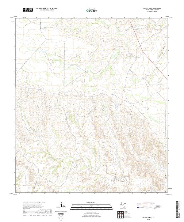
2010 Balcon Creek
Terrell County, TX
2010 Big Brindle Canyon
Terrell County, TX
2010 Big Canyon Ranch NE
Terrell County, TX
2010 Big Canyon Ranch
Terrell County, TX
2010 Candilla Canyon East
Terrell County, TX
2010 Circle Dot Ranch NE
Terrell County, TX

2010 Circle Dot Ranch
Terrell County, TX
2010 Continental Ranch
Terrell County, TX
2010 Cook Creek North
Terrell County, TX
2010 Cook Creek South
Terrell County, TX
2010 Dead Man Canyon
Terrell County, TX
2010 Dryden NE
Terrell County, TX
2010 Dryden NW
Terrell County, TX
2010 Dryden
Terrell County, TX
2010 Geddis Canyon East
Terrell County, TX
2010 Geddis Canyon NW
Terrell County, TX
2010 Geddis Canyon West
Terrell County, TX
2010 Hackberry Draw SE
Terrell County, TX
2010 Hagler Canyon
Terrell County, TX
2010 Horsehead Canyon
Terrell County, TX
2010 Lozier Canyon North
Terrell County, TX
2010 Lozier Canyon South
Terrell County, TX
2010 McClain Canyon
Terrell County, TX
2010 Meyers Canyon NE
Terrell County, TX
2010 Meyers Canyon NW
Terrell County, TX
2010 Meyers Canyon
Terrell County, TX
2010 Mitchell Draw
Terrell County, TX
2010 Mofeta
Terrell County, TX
2010 Ninemile Ranch
Terrell County, TX
2010 Oasis Ranch
Terrell County, TX
2010 Sanderson NE
Terrell County, TX
2010 Sanderson SE
Terrell County, TX
2010 Sevenmile Canyon
Terrell County, TX
2010 Seventeen Ranch
Terrell County, TX
2010 Shafter Canyon
Terrell County, TX
2010 Sheffield SE
Terrell County, TX
2010 Taylor Canyon
Terrell County, TX
2012 Allen Ranch
Terrell County, TX
2012 Big Brindle Canyon
Terrell County, TX
2012 Big Canyon Ranch NE
Terrell County, TX
2012 Big Canyon Ranch
Terrell County, TX
2012 Circle Dot Ranch NE
Terrell County, TX
2012 Circle Dot Ranch
Terrell County, TX
2012 Continental Ranch
Terrell County, TX
2012 Dead Man Canyon
Terrell County, TX
2012 Dryden NE
Terrell County, TX
2012 Dryden NW
Terrell County, TX
2012 Dryden
Terrell County, TX
2012 Geddis Canyon East
Terrell County, TX
2012 Geddis Canyon NW
Terrell County, TX
2012 Geddis Canyon West
Terrell County, TX
2012 Hackberry Draw SE
Terrell County, TX
2012 Hagler Canyon
Terrell County, TX
2012 Horsehead Canyon
Terrell County, TX
2012 Meyers Canyon NE
Terrell County, TX
2012 Meyers Canyon NW
Terrell County, TX
2012 Meyers Canyon
Terrell County, TX

2012 Mitchell Draw
Terrell County, TX
2012 Mofeta
Terrell County, TX
2012 Ninemile Ranch
Terrell County, TX
2012 Oasis Ranch
Terrell County, TX
2012 Sanderson NE
Terrell County, TX
2012 Sanderson SE
Terrell County, TX
2012 Sevenmile Canyon
Terrell County, TX
2012 Seventeen Ranch
Terrell County, TX
2012 Sheffield SE
Terrell County, TX
2013 Balcon Creek
Terrell County, TX
2013 Candilla Canyon East
Terrell County, TX
2013 Cook Creek North
Terrell County, TX
2013 Cook Creek South
Terrell County, TX
2013 Lozier Canyon North
Terrell County, TX
2013 Lozier Canyon South
Terrell County, TX
2013 McClain Canyon
Terrell County, TX
2013 Shafter Canyon
Terrell County, TX
2013 Taylor Canyon
Terrell County, TX
2016 Allen Ranch
Terrell County, TX
2016 Balcon Creek
Terrell County, TX
2016 Big Brindle Canyon
Terrell County, TX
2016 Big Canyon Ranch NE
Terrell County, TX
2016 Big Canyon Ranch
Terrell County, TX
2016 Candilla Canyon East
Terrell County, TX
2016 Circle Dot Ranch NE
Terrell County, TX
2016 Circle Dot Ranch
Terrell County, TX
2016 Continental Ranch
Terrell County, TX
2016 Cook Creek North
Terrell County, TX
2016 Cook Creek South
Terrell County, TX
2016 Dead Man Canyon
Terrell County, TX
2016 Dryden NE
Terrell County, TX
2016 Dryden NW
Terrell County, TX
2016 Dryden
Terrell County, TX
2016 Geddis Canyon East
Terrell County, TX
2016 Geddis Canyon NW
Terrell County, TX
2016 Geddis Canyon West
Terrell County, TX
2016 Hackberry Draw SE
Terrell County, TX
2016 Hagler Canyon
Terrell County, TX
2016 Horsehead Canyon
Terrell County, TX
2016 Lozier Canyon North
Terrell County, TX
2016 Lozier Canyon South
Terrell County, TX
2016 McClain Canyon
Terrell County, TX
2016 Meyers Canyon NE
Terrell County, TX
2016 Meyers Canyon NW
Terrell County, TX
2016 Meyers Canyon
Terrell County, TX
2016 Mitchell Draw
Terrell County, TX
2016 Mofeta
Terrell County, TX
2016 Ninemile Ranch
Terrell County, TX
2016 Oasis Ranch
Terrell County, TX
2016 Sanderson NE
Terrell County, TX
2016 Sanderson SE
Terrell County, TX
2016 Sevenmile Canyon
Terrell County, TX
2016 Seventeen Ranch
Terrell County, TX
2016 Shafter Canyon
Terrell County, TX
2016 Sheffield SE
Terrell County, TX
2016 Taylor Canyon
Terrell County, TX
2019 Allen Ranch
Terrell County, TX

2019 Balcon Creek
Terrell County, TX
2019 Big Brindle Canyon
Terrell County, TX
2019 Big Canyon Ranch NE
Terrell County, TX
2019 Big Canyon Ranch
Terrell County, TX
2019 Candilla Canyon East
Terrell County, TX
2019 Circle Dot Ranch NE
Terrell County, TX
2019 Circle Dot Ranch
Terrell County, TX
2019 Continental Ranch
Terrell County, TX
2019 Cook Creek North
Terrell County, TX
2019 Cook Creek South
Terrell County, TX
2019 Dead Man Canyon
Terrell County, TX
2019 Dryden NE
Terrell County, TX
2019 Dryden NW
Terrell County, TX
2019 Dryden
Terrell County, TX
2019 Geddis Canyon East
Terrell County, TX
2019 Geddis Canyon NW
Terrell County, TX
2019 Geddis Canyon West
Terrell County, TX
2019 Hackberry Draw SE
Terrell County, TX

2019 Hagler Canyon
Terrell County, TX
2019 Horsehead Canyon
Terrell County, TX
2019 Lozier Canyon North
Terrell County, TX
2019 Lozier Canyon South
Terrell County, TX
2019 McClain Canyon
Terrell County, TX
2019 Meyers Canyon NE
Terrell County, TX
2019 Meyers Canyon NW
Terrell County, TX
2019 Meyers Canyon
Terrell County, TX
2019 Mitchell Draw
Terrell County, TX
2019 Mofeta
Terrell County, TX
2019 Ninemile Ranch
Terrell County, TX
2019 Oasis Ranch
Terrell County, TX
2019 Sanderson NE
Terrell County, TX
2019 Sanderson SE
Terrell County, TX
2019 Sevenmile Canyon
Terrell County, TX
2019 Seventeen Ranch
Terrell County, TX
2019 Shafter Canyon
Terrell County, TX
2019 Sheffield SE
Terrell County, TX
2019 Taylor Canyon
Terrell County, TX
2022 Allen Ranch
Terrell County, TX
2022 Balcon Creek
Terrell County, TX
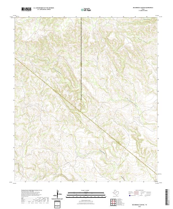
2022 Big Brindle Canyon
Terrell County, TX
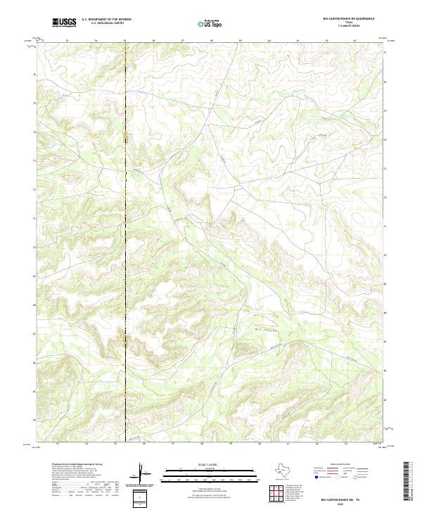
2022 Big Canyon Ranch NE
Terrell County, TX
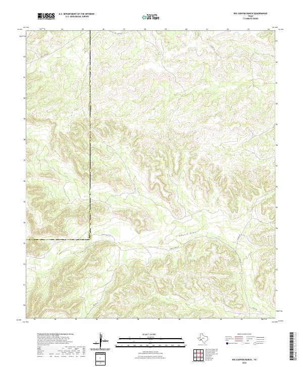
2022 Big Canyon Ranch
Terrell County, TX
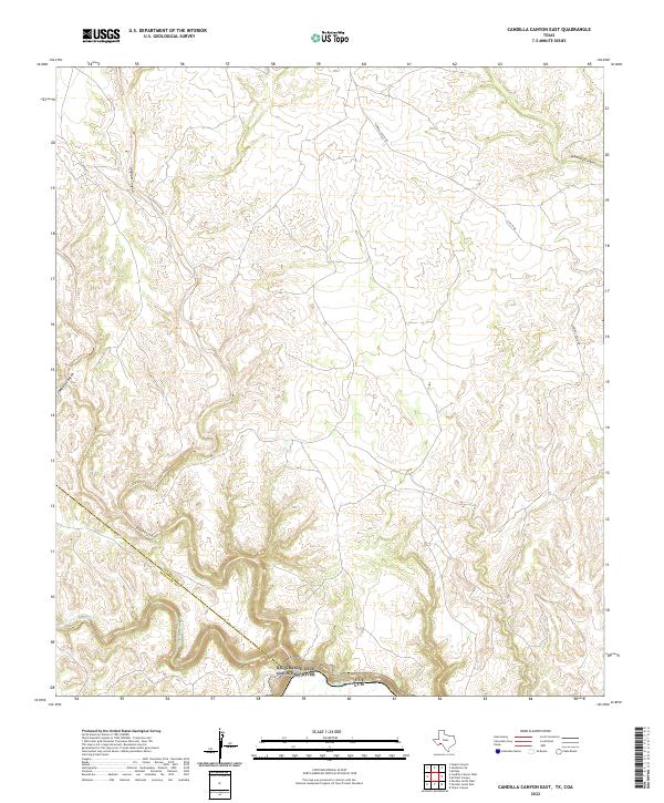
2022 Candilla Canyon East
Terrell County, TX
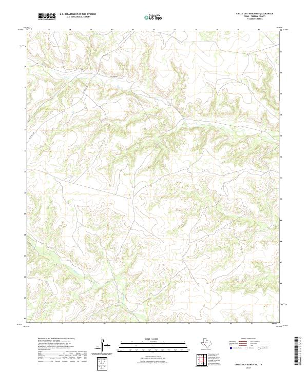
2022 Circle Dot Ranch NE
Terrell County, TX
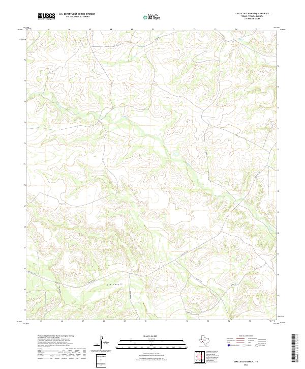
2022 Circle Dot Ranch
Terrell County, TX
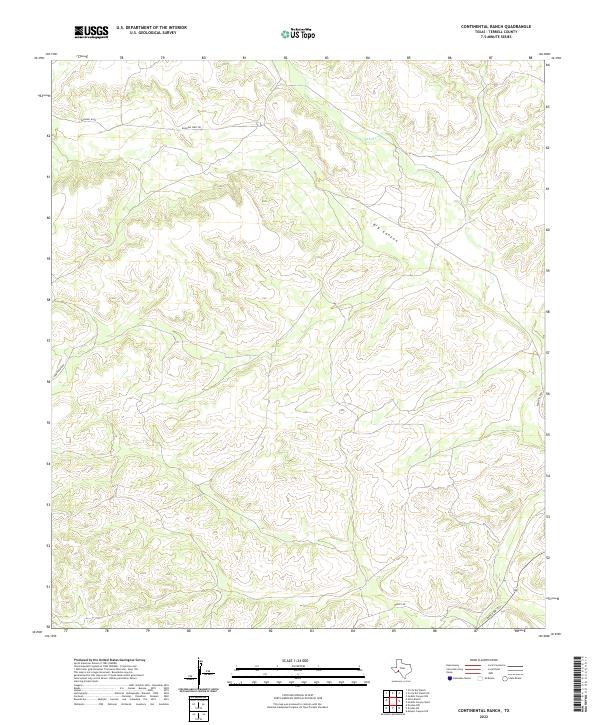
2022 Continental Ranch
Terrell County, TX
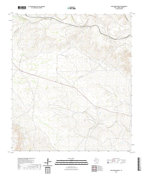
2022 Cook Creek North
Terrell County, TX
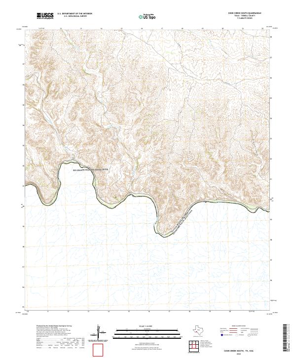
2022 Cook Creek South
Terrell County, TX
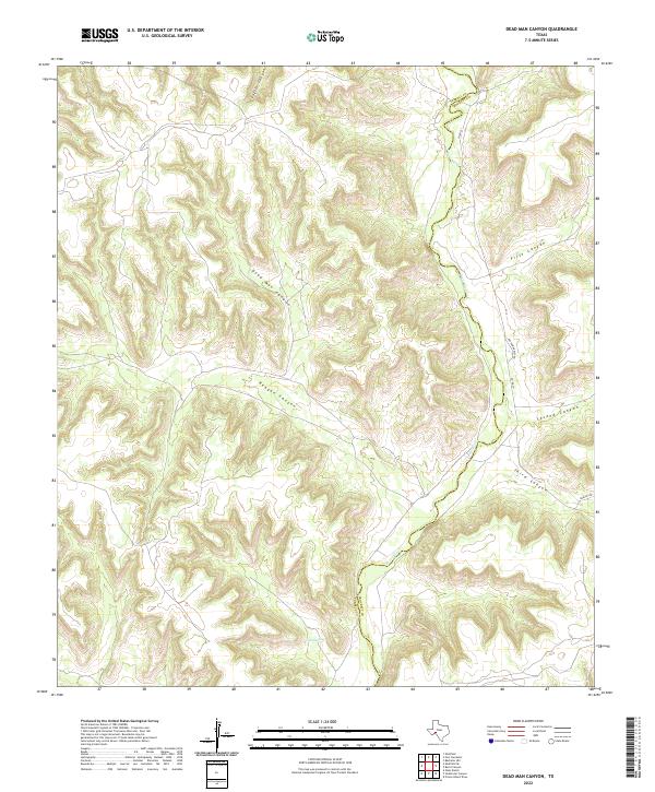
2022 Dead Man Canyon
Terrell County, TX
2022 Dryden NE
Terrell County, TX
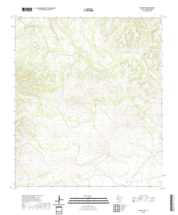
2022 Dryden NW
Terrell County, TX
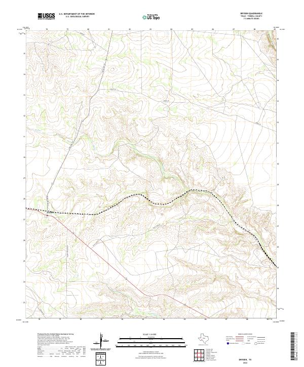
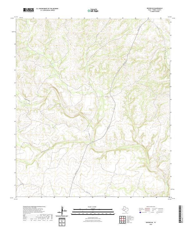
2022 Dryden
Terrell County, TX
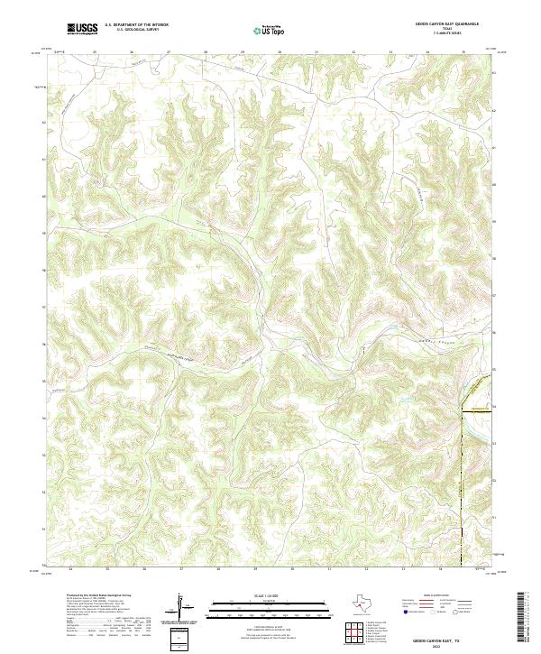
2022 Geddis Canyon East
Terrell County, TX
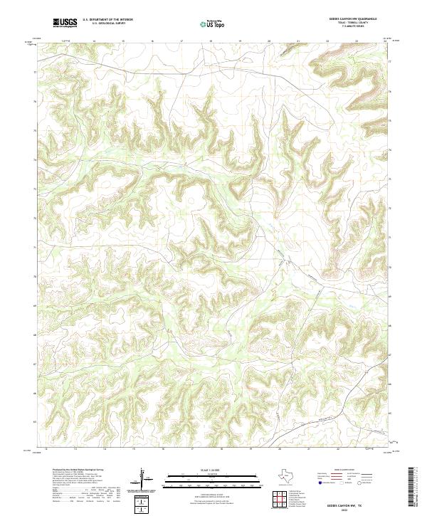
2022 Geddis Canyon NW
Terrell County, TX
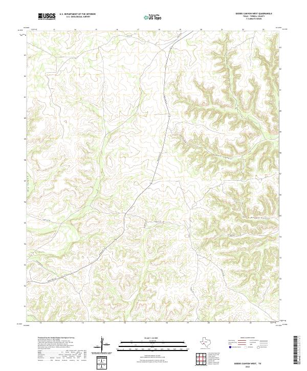
2022 Geddis Canyon West
Terrell County, TX
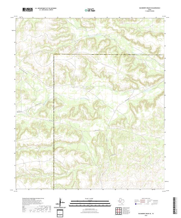
2022 Hackberry Draw SE
Terrell County, TX
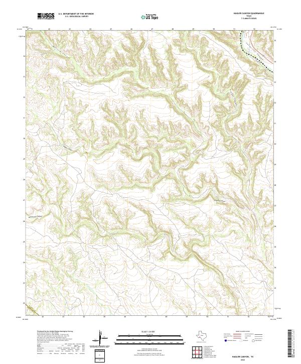
2022 Hagler Canyon
Terrell County, TX
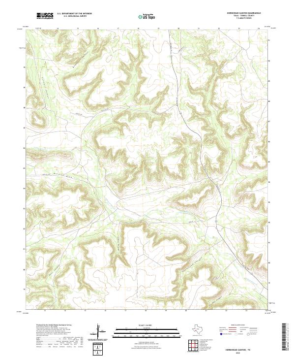
2022 Horsehead Canyon
Terrell County, TX
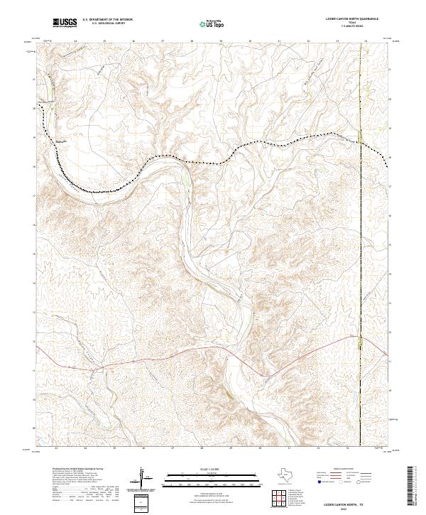
2022 Lozier Canyon North
Terrell County, TX
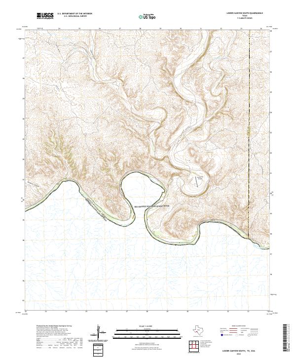
2022 Lozier Canyon South
Terrell County, TX
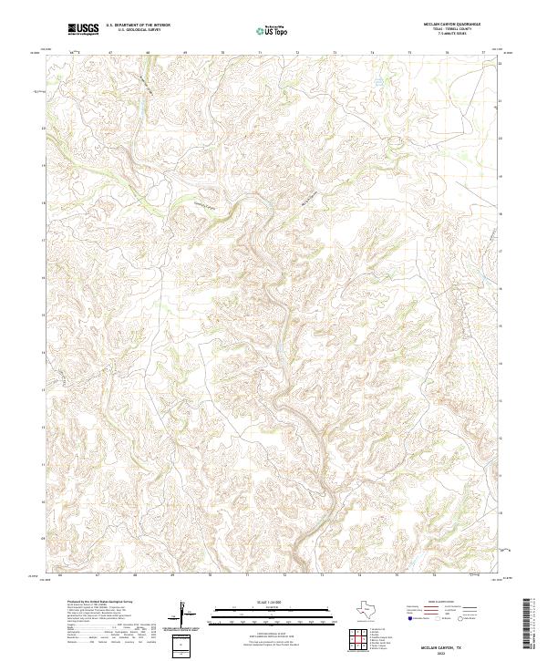
2022 McClain Canyon
Terrell County, TX
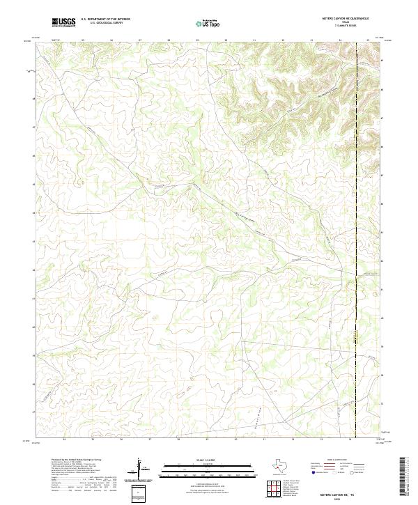
2022 Meyers Canyon NE
Terrell County, TX
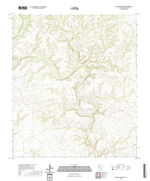
2022 Meyers Canyon NW
Terrell County, TX
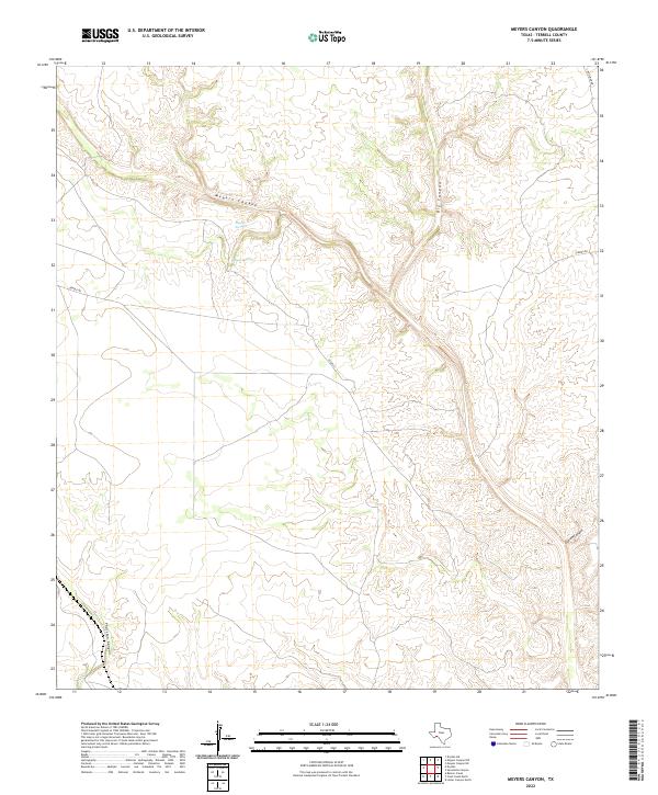
2022 Meyers Canyon
Terrell County, TX
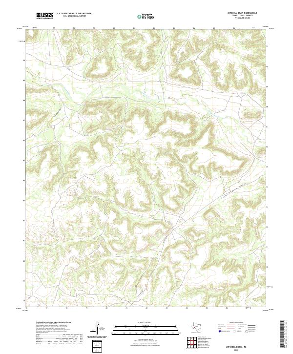
2022 Mitchell Draw
Terrell County, TX
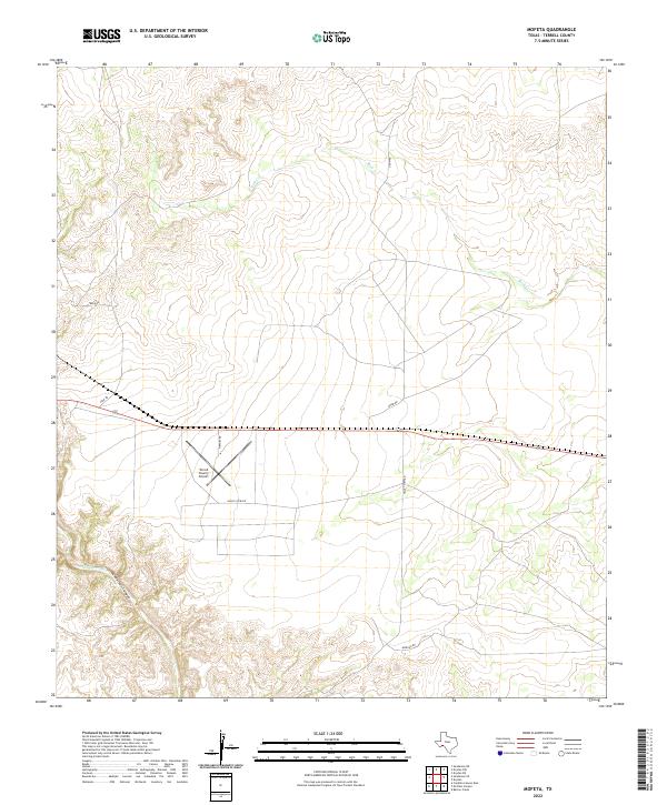
2022 Mofeta
Terrell County, TX
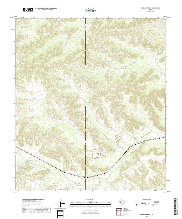
2022 Ninemile Ranch
Terrell County, TX
2022 Oasis Ranch
Terrell County, TX
2022 Sanderson NE
Terrell County, TX
2022 Sanderson SE
Terrell County, TX
2022 Sevenmile Canyon
Terrell County, TX
2022 Seventeen Ranch
Terrell County, TX
2022 Shafter Canyon
Terrell County, TX
2022 Sheffield SE
Terrell County, TX
2022 Taylor Canyon
Terrell County, TX