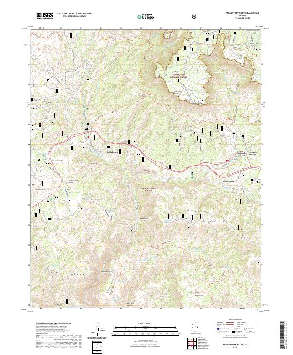
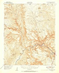
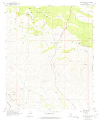
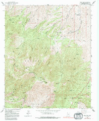
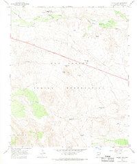
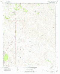
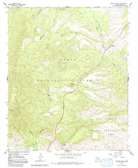
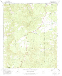
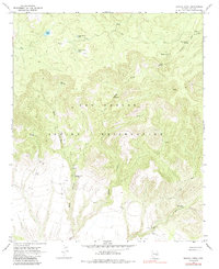
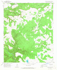
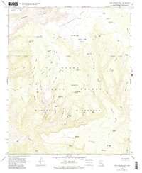
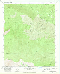
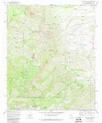
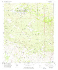
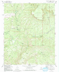
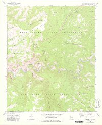
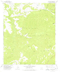
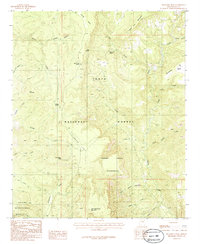
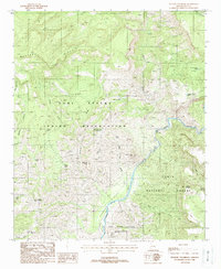
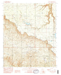
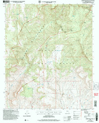
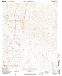
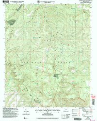
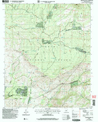
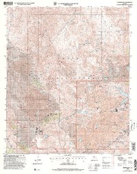
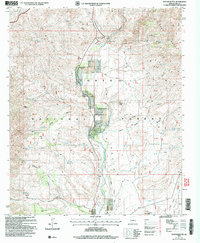
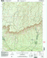
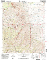
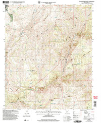
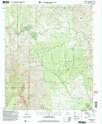
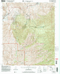
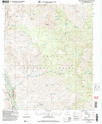
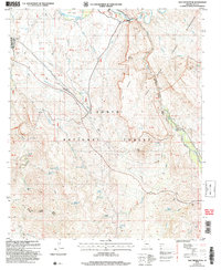
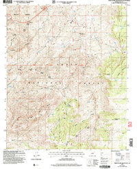
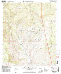
2021 Map of Promontory Butte
USGS Topo · Published 2021About this map
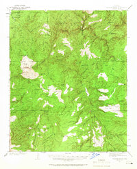
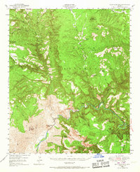
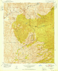
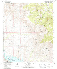
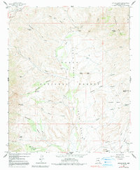
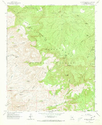
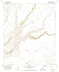
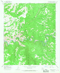
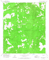
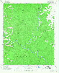
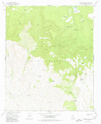
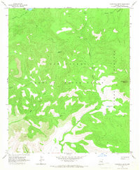
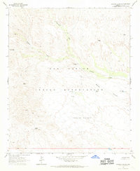
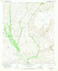
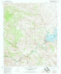
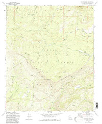
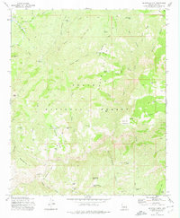
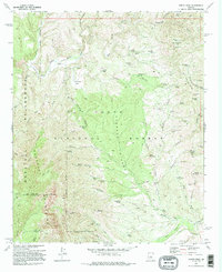
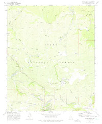
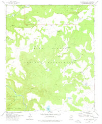
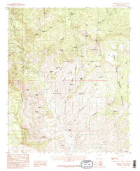
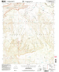
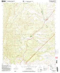
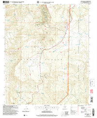
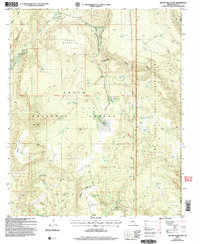
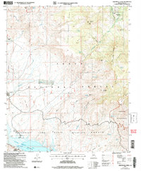
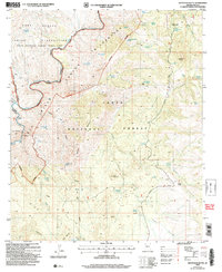
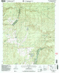
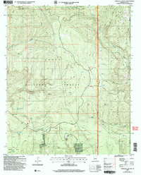
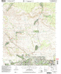
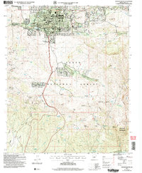
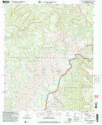
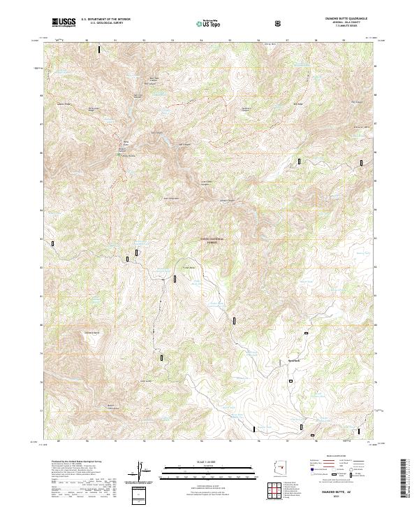
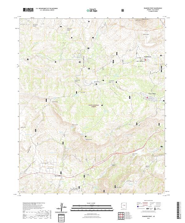
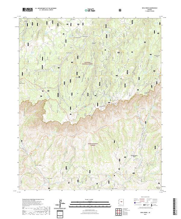
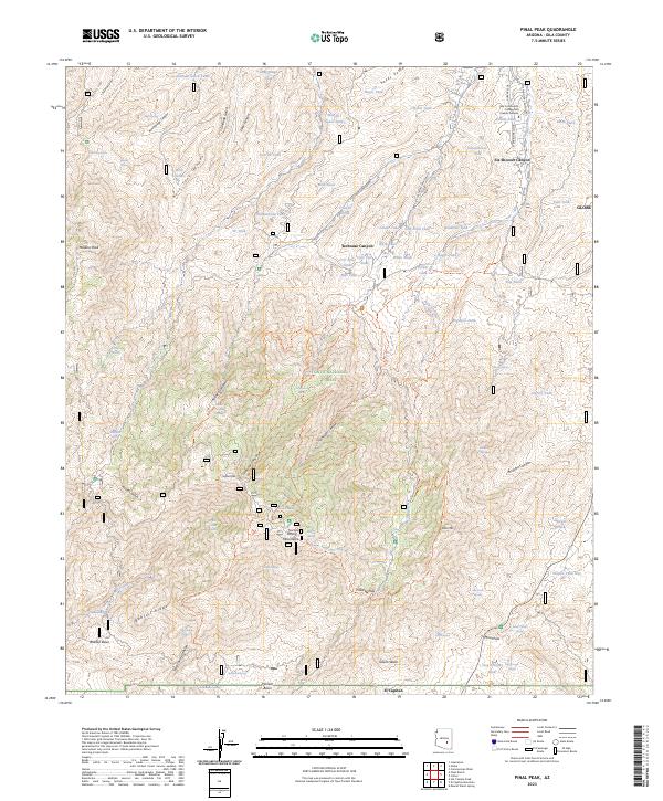
Kohls Ranch and Christopher Creek serve as the primary human outposts along the transition between the Mogollon Rim and the deep canyons to the south. This 2021 study details the boundary between the Sitgreaves National Forest and the Tonto National Forest, showcasing a landscape dominated by complex drainage systems and volcanic-capped mesas like Promontory Butte. The map illustrates a dense network of forest service trails and cattle infrastructure, including numerous stock tanks such as Scout Tank and Mescal Ridge Tank Number Two. The legendary General Crook Trl and the extensive Highline Trl trace the dramatic topography of the rim, while isolated settlements like Bear Flat remain tucked into the deep valleys created by Tonto Cr and its tributaries.
Find a feature on this map
86 named features on this map. Tap any name to fly to it.
Don’t see what you’re looking for? This feature index may not catch every label — zoom into the map to look around manually.
Map Details
Editions of this 2021 Promontory Butte Map
This is the sole edition of this map. No revisions or reprints were ever made.
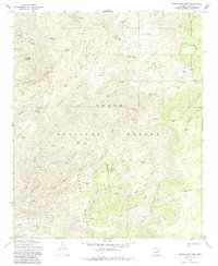
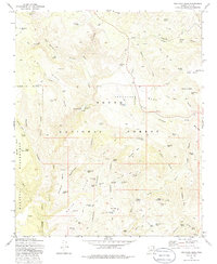
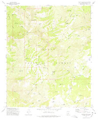
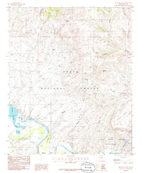
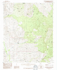
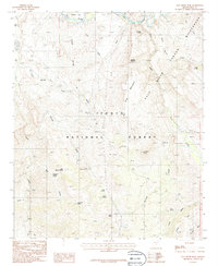
Historical Maps of Christopher Creek Through Time
197 maps found
1915 Christmas
Gila County, AZ
1917 Christmas
Gila County, AZ

1922 Chrysotile
Gila County, AZ
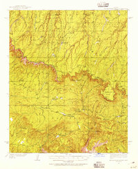
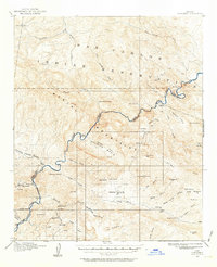
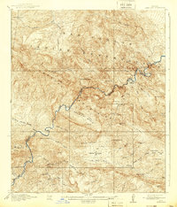
1934 Promontory Butte
Gila County, AZ
1937 Diamond Butte
Gila County, AZ
1939 Promontory Butte
Gila County, AZ
1943 Diamond Butte
Gila County, AZ
1945 Inspiration
Gila County, AZ
1946 Blue House Mtn
Gila County, AZ
1947 Inspiration
Gila County, AZ
1948 Pinal Ranch
Gila County, AZ
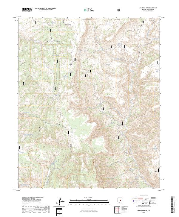
1949 McFadden Peak
Gila County, AZ
1949 Pinal Ranch
Gila County, AZ
1949 Rockinstraw Mtn
Gila County, AZ
1950 McFadden Peak
Gila County, AZ
1950 Rockinstraw Mtn
Gila County, AZ
1951 Blue House Mtn
Gila County, AZ
1952 Promontory Butte
Gila County, AZ
1964 Armer Mountain
Gila County, AZ
1964 Copper Mtn
Gila County, AZ
1964 El Capitan Mtn
Gila County, AZ
1964 Greenback Creek
Gila County, AZ
1964 Kayler Butte
Gila County, AZ
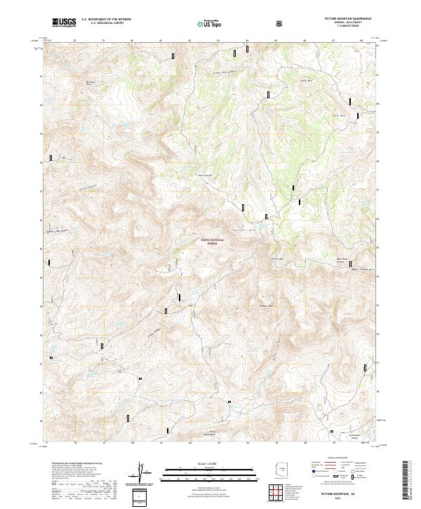
1964 Picture Mountain
Gila County, AZ
1964 Pinal Peak
Gila County, AZ
1964 Theodore Roosevelt Dam
Gila County, AZ
1964 Two Bar Mountain
Gila County, AZ
1964 Windy Hill
Gila County, AZ
1965 Bucket Mtn
Gila County, AZ
1965 Sontag Mesa
Gila County, AZ
1966 Beckers Butte
Gila County, AZ
1966 Brushy Canyon
Gila County, AZ
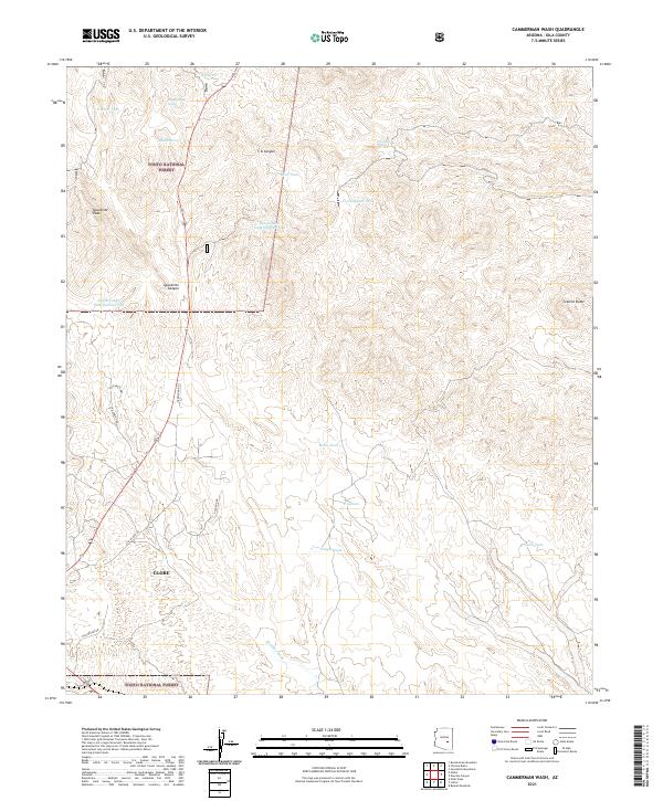
1966 Cammerman Wash
Gila County, AZ
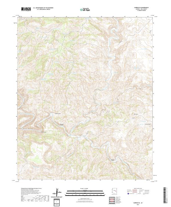
1966 Carrizo SE
Gila County, AZ
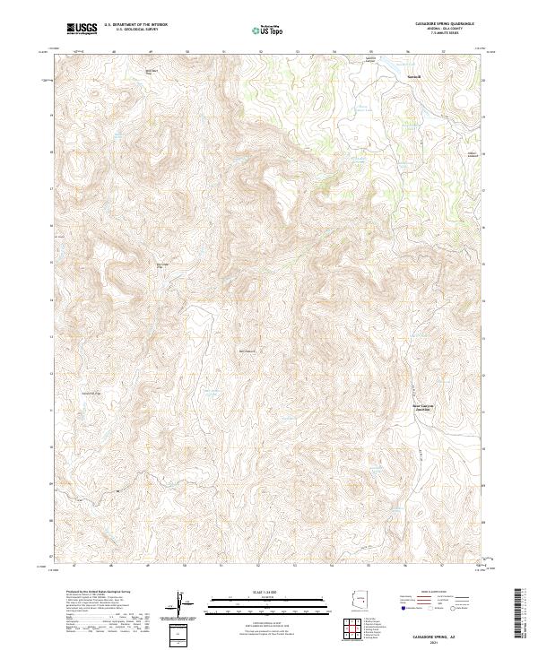
1966 Cassadore Spring
Gila County, AZ
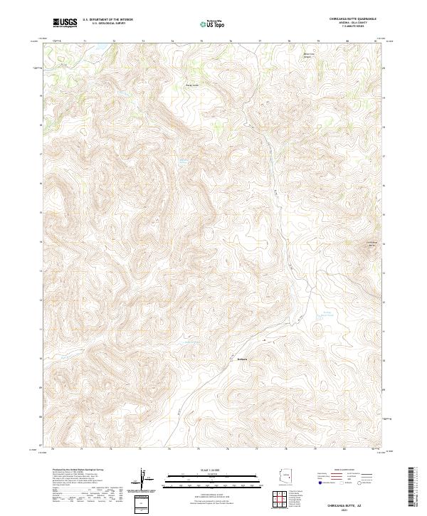
1966 Chiricahua Butte
Gila County, AZ
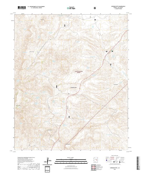
1966 Chrome Butte
Gila County, AZ
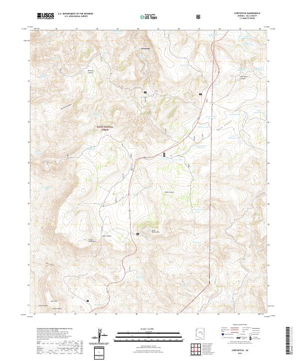
1966 Chrysotile
Gila County, AZ
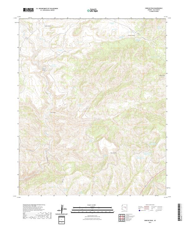
1966 Cibecue Peak
Gila County, AZ
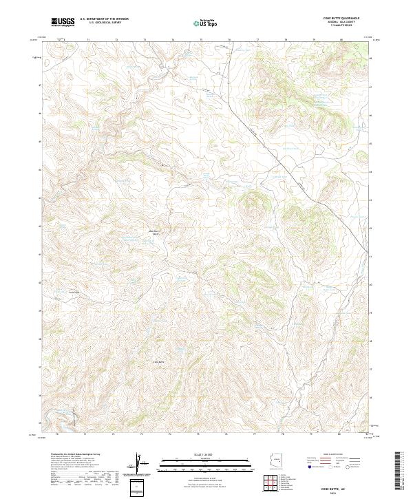
1966 Cone Butte
Gila County, AZ
1966 Dourine Canyon
Gila County, AZ
1966 Forks Butte
Gila County, AZ
1966 Georges Butte
Gila County, AZ
1966 Haystack Butte
Gila County, AZ
1966 Natural Corral
Gila County, AZ
1966 Popcorn Canyon
Gila County, AZ
1966 Round Top Mtn
Gila County, AZ
1966 Sevenmile Mts.
Gila County, AZ
1966 Sontag Creek
Gila County, AZ
1966 Velasquez Butte
Gila County, AZ
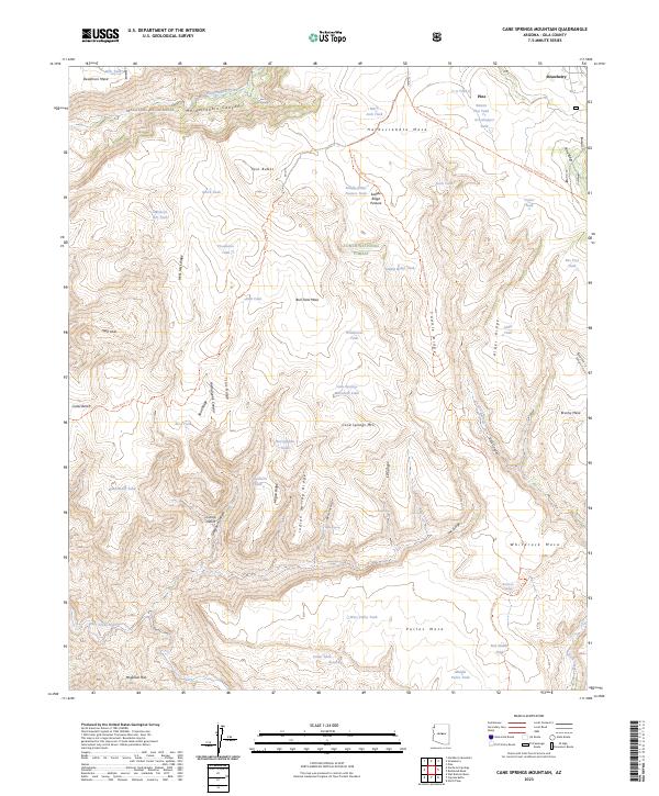
1967 Cane Springs Mountain
Gila County, AZ
1967 Cypress Butte
Gila County, AZ
1968 Coolidge Dam
Gila County, AZ
1968 Mescal Warm Spring
Gila County, AZ
1972 Buzzard Roost Mesa
Gila County, AZ
1972 Kehl Ridge
Gila County, AZ
1972 Mazatzal Peak
Gila County, AZ
1972 Sheep Basin Mtn.
Gila County, AZ
1973 Buckhead Mesa
Gila County, AZ
1973 Diamond Butte
Gila County, AZ
1973 Diamond Point
Gila County, AZ
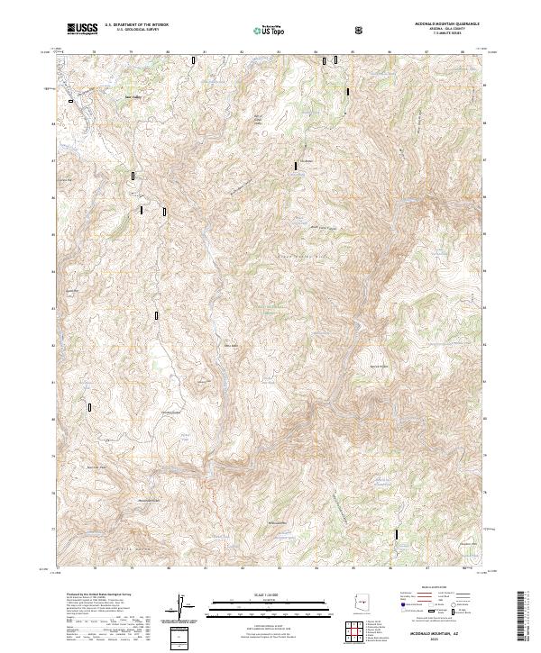
1973 McDonald Mtn
Gila County, AZ
1973 North Peak
Gila County, AZ
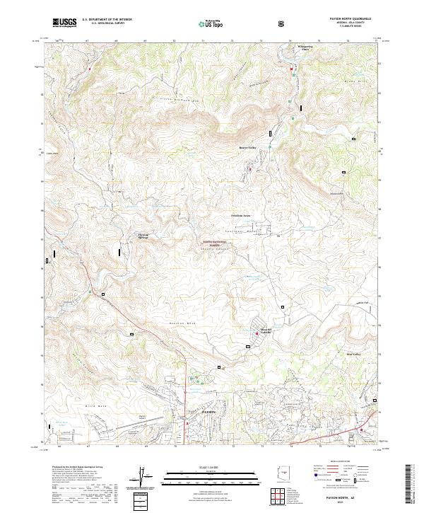
1973 Payson North
Gila County, AZ
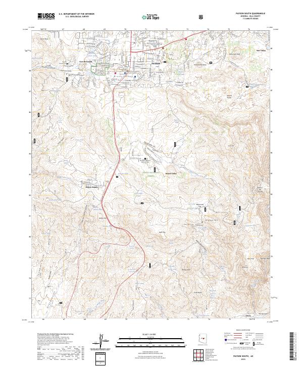
1973 Payson South
Gila County, AZ
1973 Promontory Butte
Gila County, AZ
1978 Beckers Butte
Gila County, AZ
1978 Carrizo SE
Gila County, AZ
1978 Cibecue Peak
Gila County, AZ
1978 Cone Butte
Gila County, AZ
1978 Forks Butte
Gila County, AZ
1978 Round Top MTN
Gila County, AZ
1978 Velasquez Butte
Gila County, AZ
1985 Cane Springs Mountain
Gila County, AZ
1986 Aztec Peak
Gila County, AZ
1986 Dagger Peak
Gila County, AZ
1986 McFadden Peak
Gila County, AZ
1986 Meddler Wash
Gila County, AZ
1986 Rockinstraw Mountain
Gila County, AZ
1986 Salt River Peak
Gila County, AZ
1986 Sombrero Peak
Gila County, AZ
1988 Blue House Mountain
Gila County, AZ
1988 Double Buttes
Gila County, AZ
1988 Mule Hoof Bend
Gila County, AZ
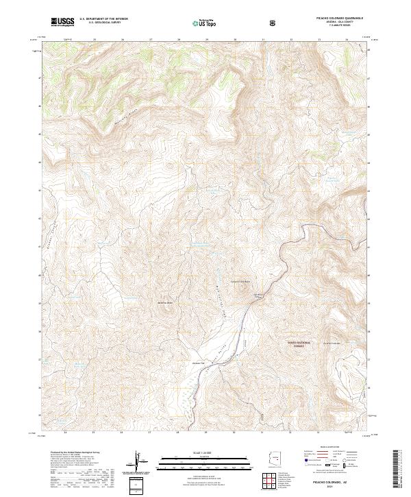
1988 Picacho Colorado
Gila County, AZ
1990 Gentry Mountain
Gila County, AZ
1990 Oxbow Mountain
Gila County, AZ
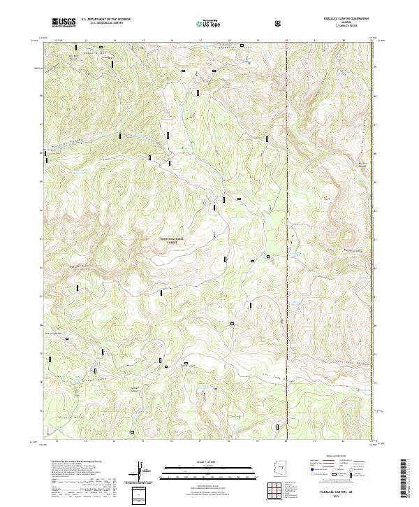
1990 Parallel Canyon
Gila County, AZ
1990 Woods Canyon
Gila County, AZ
1992 Seneca
Gila County, AZ
1998 Promontory Butte
Gila County, AZ
1998 Woods Canyon
Gila County, AZ
2004 Armer Mountain
Gila County, AZ
2004 Aztec Peak
Gila County, AZ
2004 Buckhead Mesa
Gila County, AZ
2004 Buzzard Roost Mesa
Gila County, AZ
2004 Cammerman Wash
Gila County, AZ
2004 Cane Springs Mountain
Gila County, AZ
2004 Chrome Butte
Gila County, AZ
2004 Chrysotile
Gila County, AZ
2004 Copper Mountain
Gila County, AZ
2004 Cypress Butte
Gila County, AZ
2004 Dagger Peak
Gila County, AZ
2004 Diamond Butte
Gila County, AZ
2004 Diamond Point
Gila County, AZ
2004 Gentry Mountain
Gila County, AZ
2004 Greenback Creek
Gila County, AZ
2004 Haystack Butte
Gila County, AZ
2004 Inspiration
Gila County, AZ
2004 Kayler Butte
Gila County, AZ
2004 Kehl Ridge
Gila County, AZ
2004 Mazatzal Peak
Gila County, AZ
2004 McDonald Mountain
Gila County, AZ
2004 McFadden Peak
Gila County, AZ
2004 Meddler Wash
Gila County, AZ
2004 Mule Hoof Bend
Gila County, AZ
2004 North Peak
Gila County, AZ
2004 Oxbow Mountain
Gila County, AZ
2004 Parallel Canyon
Gila County, AZ
2004 Payson North
Gila County, AZ
2004 Payson South
Gila County, AZ
2004 Picacho Colorado
Gila County, AZ
2004 Picture Mountain
Gila County, AZ
2004 Pinal Peak
Gila County, AZ
2004 Pinal Ranch
Gila County, AZ
2004 Rockinstraw Mountain
Gila County, AZ
2004 Salt River Peak
Gila County, AZ
2004 Sheep Basin Mountain
Gila County, AZ
2004 Sombrero Peak
Gila County, AZ
2004 Theodore Roosevelt Dam
Gila County, AZ
2004 Two Bar Mountain
Gila County, AZ
2004 Windy Hill
Gila County, AZ
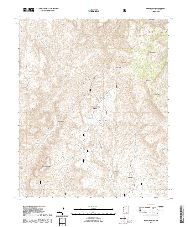
2021 Armer Mountain
Gila County, AZ
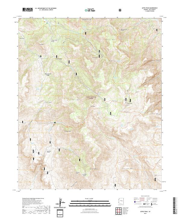
2021 Aztec Peak
Gila County, AZ
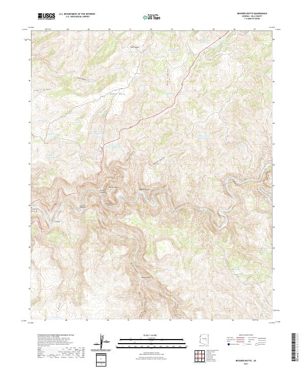
2021 Beckers Butte
Gila County, AZ
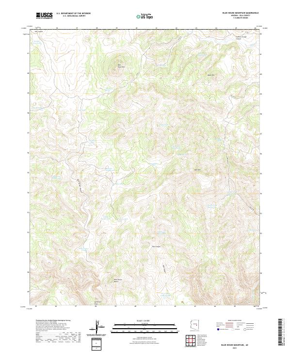
2021 Blue House Mountain
Gila County, AZ
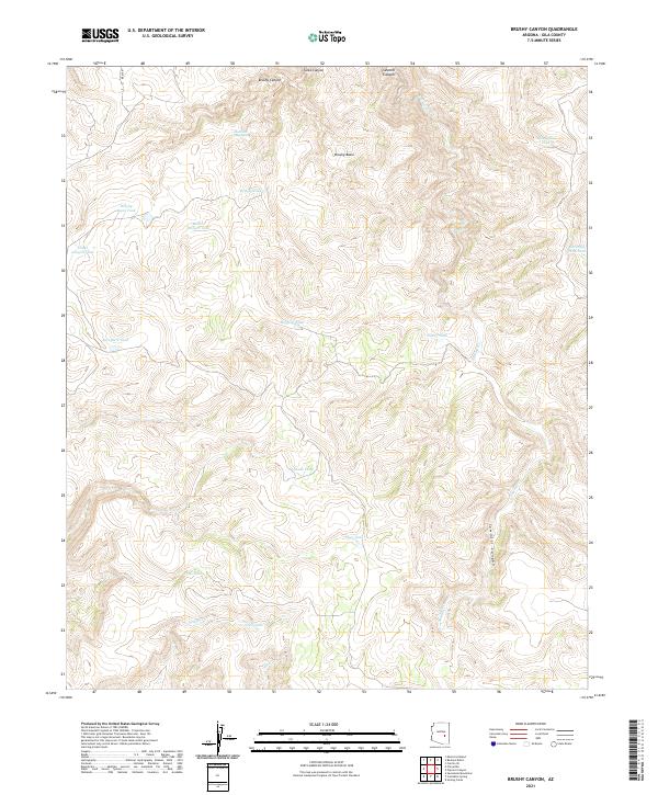
2021 Brushy Canyon
Gila County, AZ
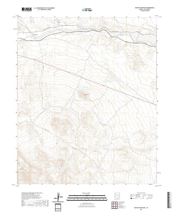
2021 Bucket Mountain
Gila County, AZ
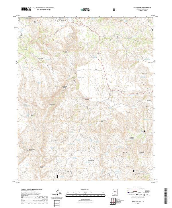
2021 Buckhead Mesa
Gila County, AZ
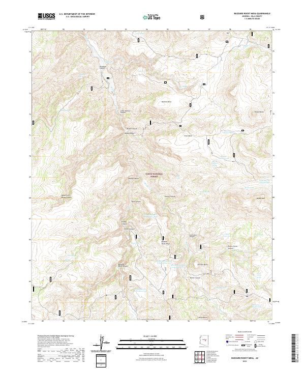
2021 Buzzard Roost Mesa
Gila County, AZ
2021 Cammerman Wash
Gila County, AZ
2021 Carrizo SE
Gila County, AZ
2021 Cassadore Spring
Gila County, AZ
2021 Chiricahua Butte
Gila County, AZ
2021 Chrome Butte
Gila County, AZ
2021 Chrysotile
Gila County, AZ
2021 Cibecue Peak
Gila County, AZ
2021 Cone Butte
Gila County, AZ
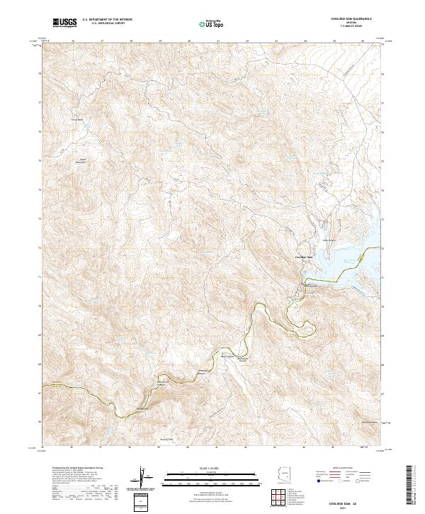
2021 Coolidge Dam
Gila County, AZ
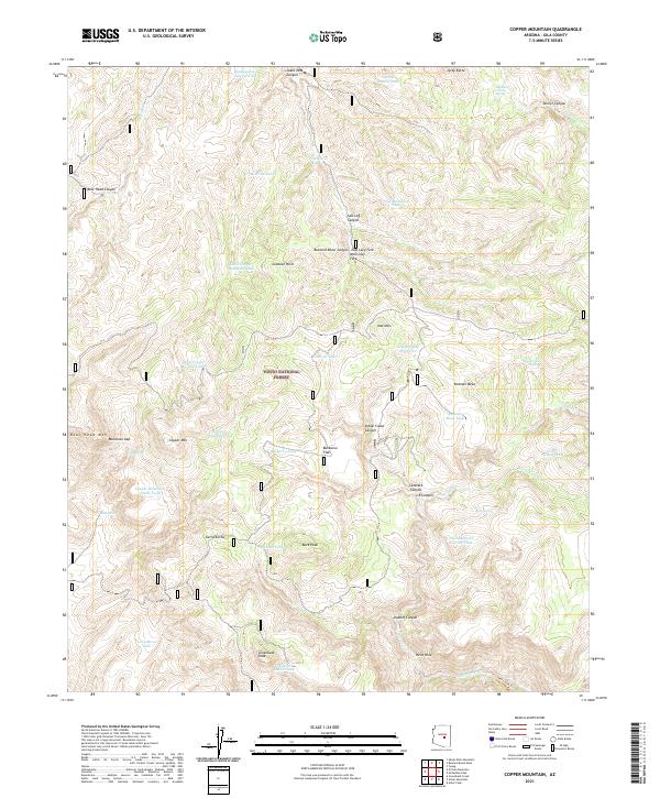
2021 Copper Mountain
Gila County, AZ
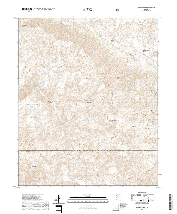
2021 Cypress Butte
Gila County, AZ
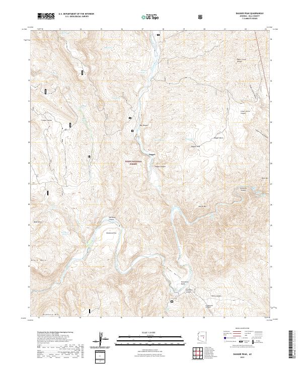
2021 Dagger Peak
Gila County, AZ
2021 Diamond Butte
Gila County, AZ
2021 Diamond Point
Gila County, AZ
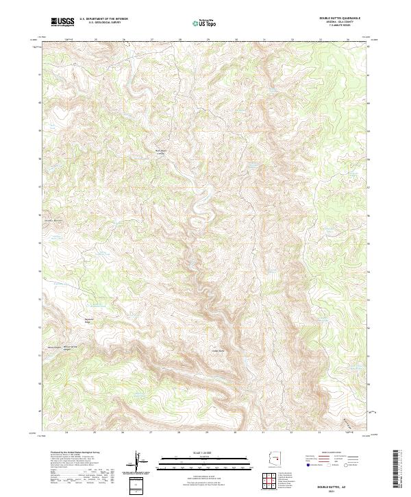
2021 Double Buttes
Gila County, AZ
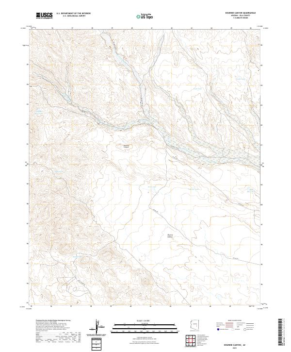
2021 Dourine Canyon
Gila County, AZ
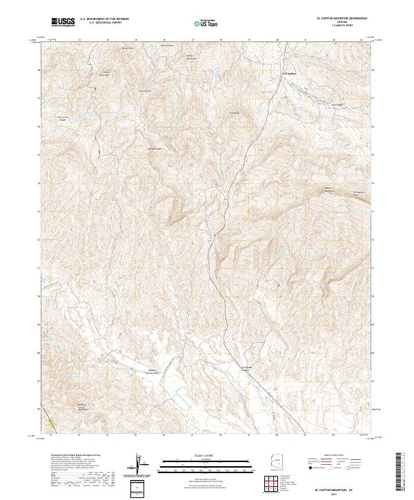
2021 El Capitan Mountain
Gila County, AZ
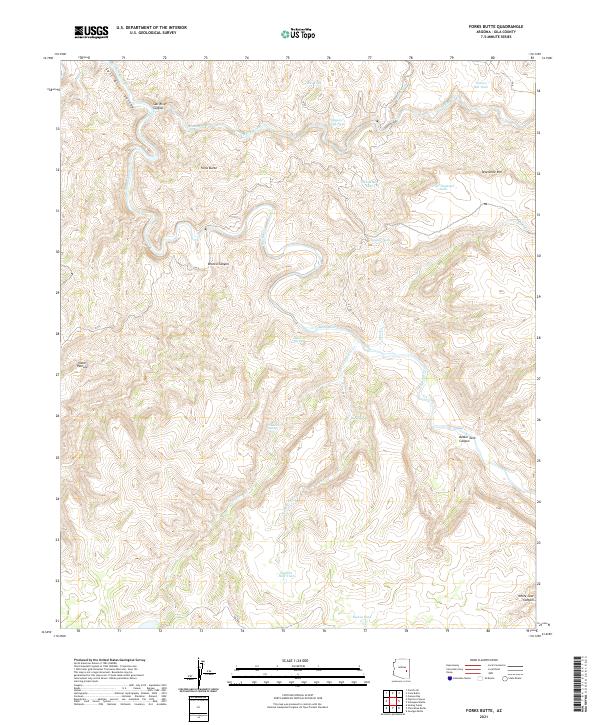
2021 Forks Butte
Gila County, AZ
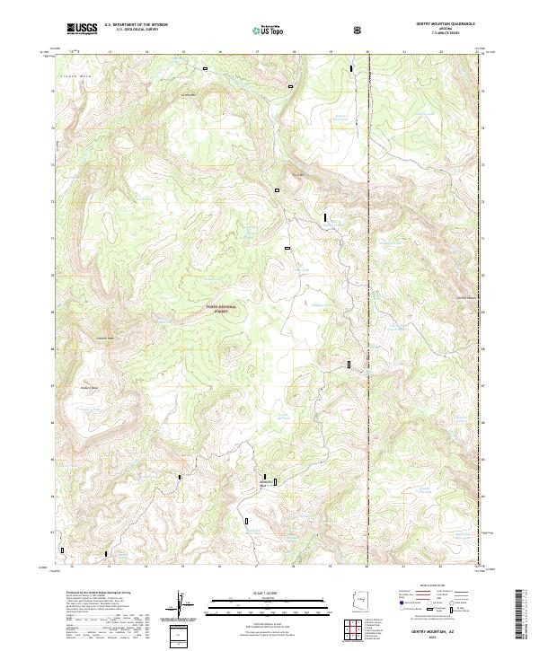
2021 Gentry Mountain
Gila County, AZ
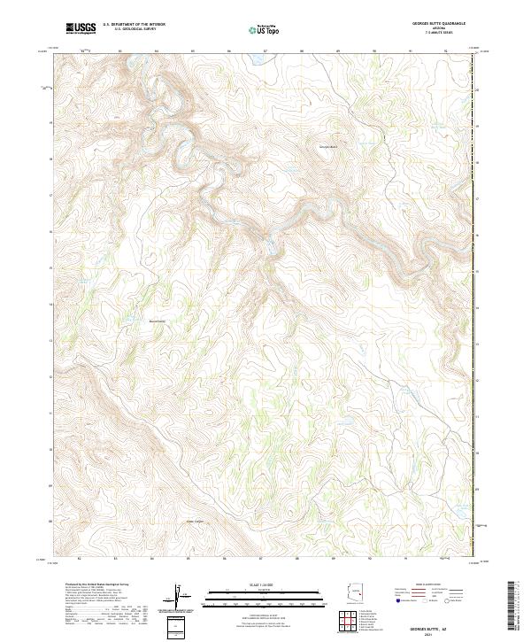
2021 Georges Butte
Gila County, AZ
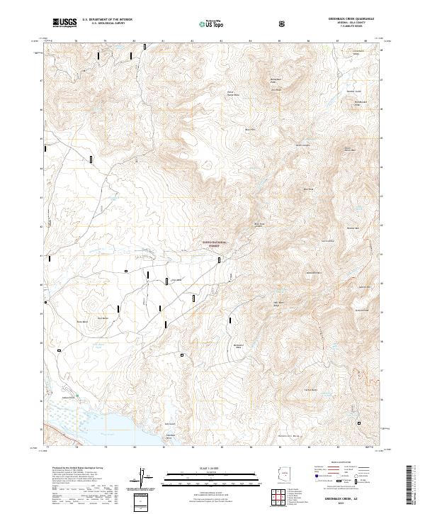
2021 Greenback Creek
Gila County, AZ
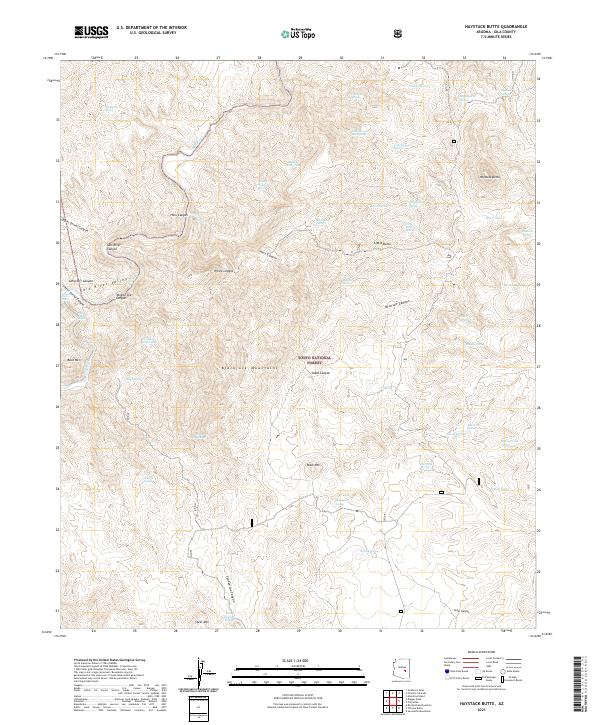
2021 Haystack Butte
Gila County, AZ
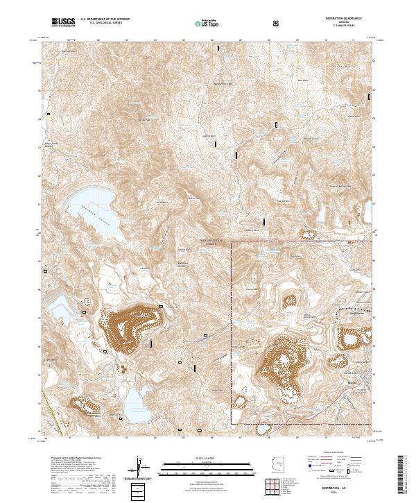
2021 Inspiration
Gila County, AZ
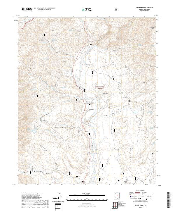
2021 Kayler Butte
Gila County, AZ
2021 Kehl Ridge
Gila County, AZ
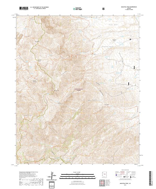
2021 Mazatzal Peak
Gila County, AZ
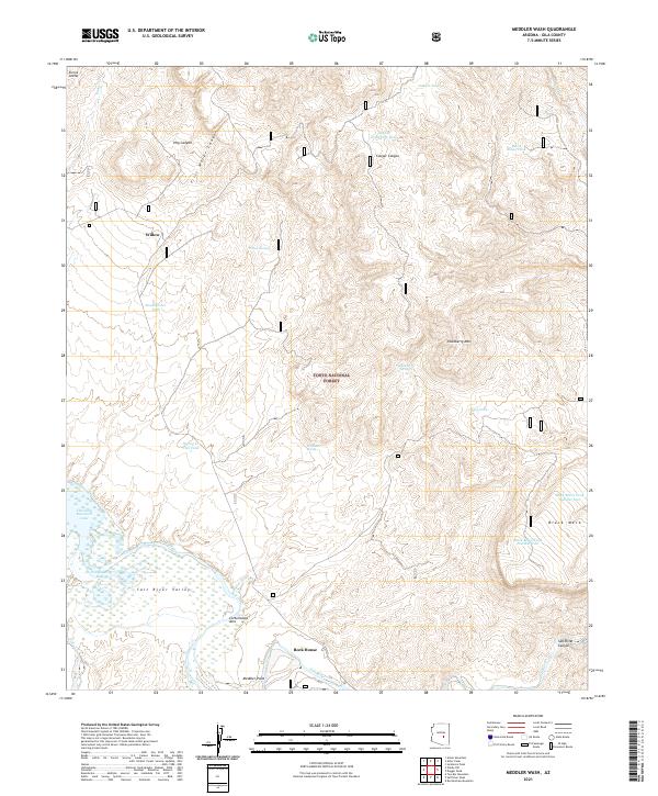
2021 Meddler Wash
Gila County, AZ
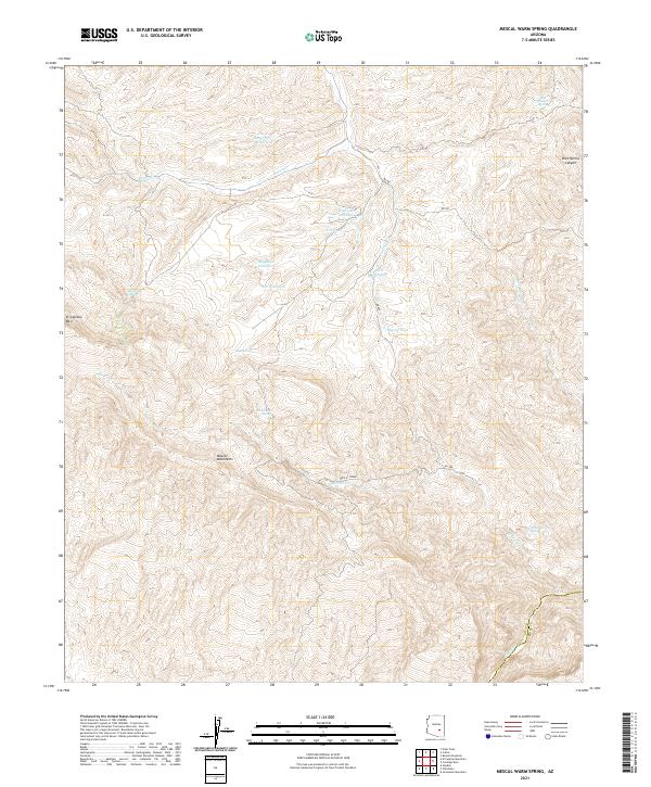
2021 Mescal Warm Spring
Gila County, AZ
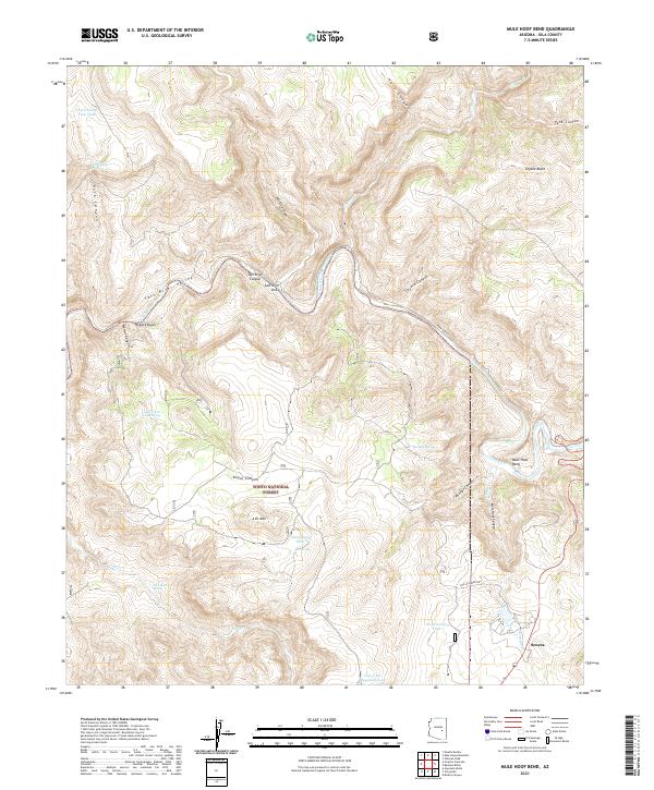
2021 Mule Hoof Bend
Gila County, AZ
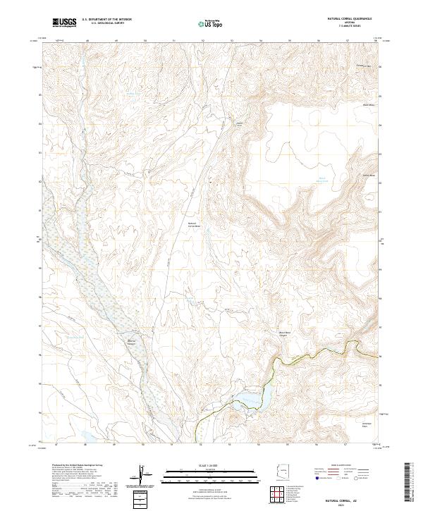
2021 Natural Corral
Gila County, AZ
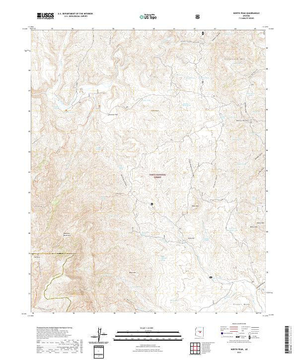
2021 North Peak
Gila County, AZ
2021 Oxbow Mountain
Gila County, AZ
2021 Parallel Canyon
Gila County, AZ
2021 Payson North
Gila County, AZ
2021 Picacho Colorado
Gila County, AZ
2021 Picture Mountain
Gila County, AZ
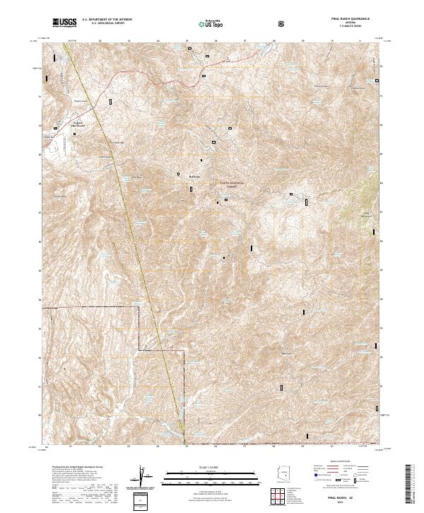
2021 Pinal Ranch
Gila County, AZ
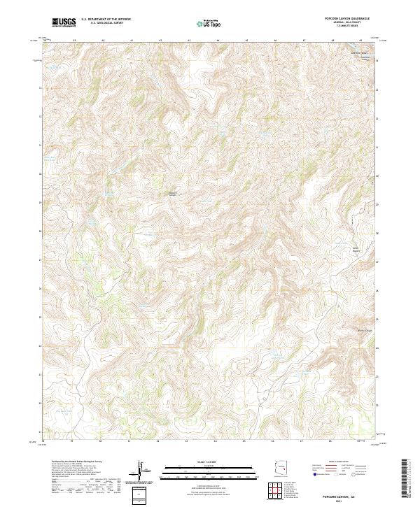
2021 Popcorn Canyon
Gila County, AZ
2021 Promontory Butte
Gila County, AZ
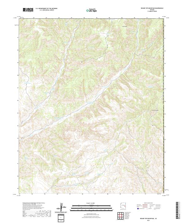
2021 Round Top Mountain
Gila County, AZ
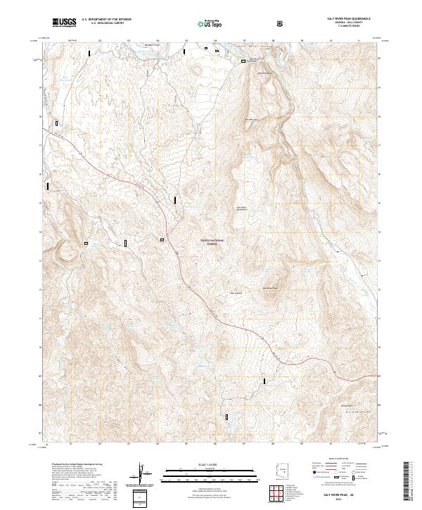
2021 Salt River Peak
Gila County, AZ
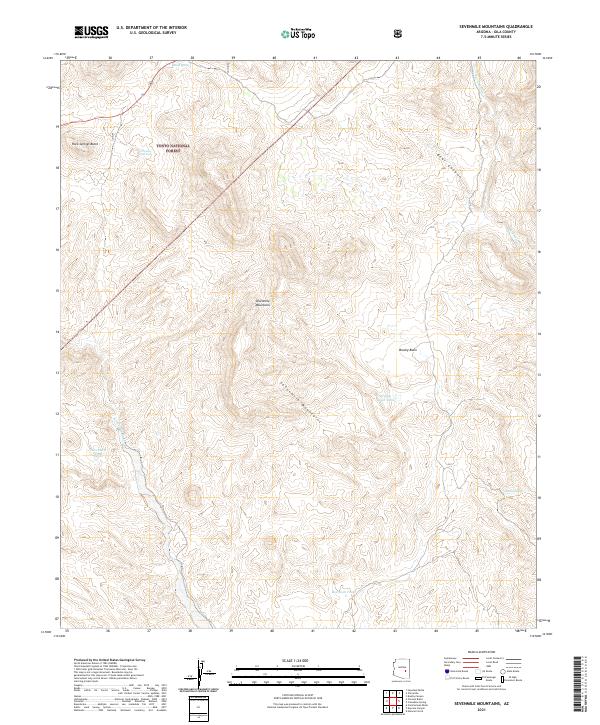
2021 Sevenmile Mountains
Gila County, AZ
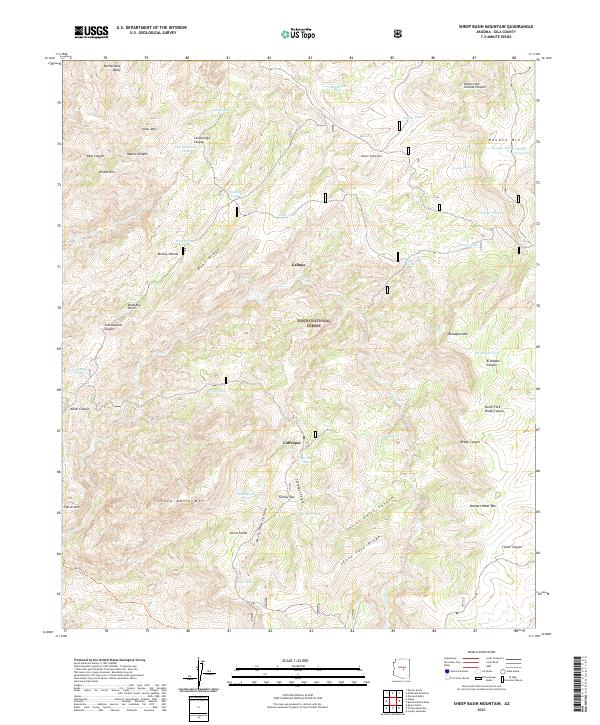
2021 Sheep Basin Mountain
Gila County, AZ
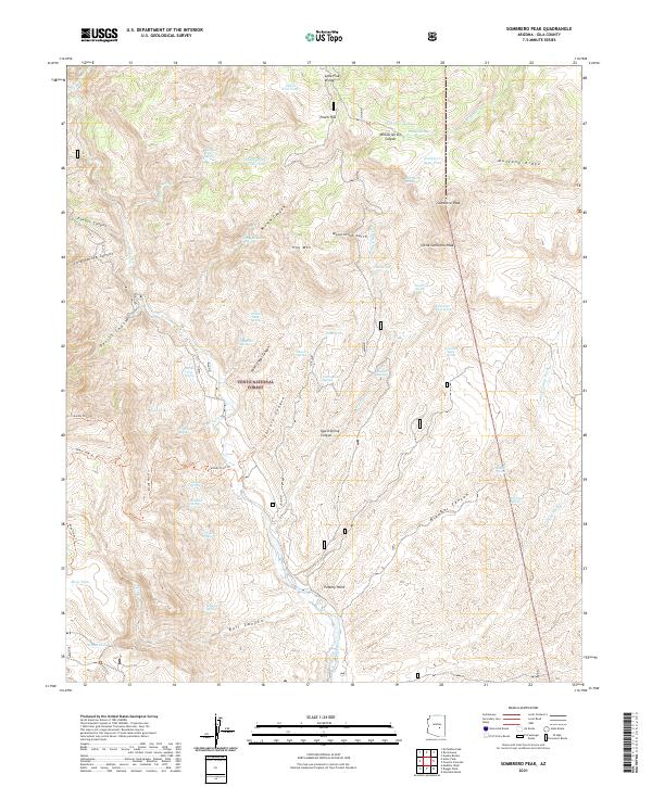
2021 Sombrero Peak
Gila County, AZ
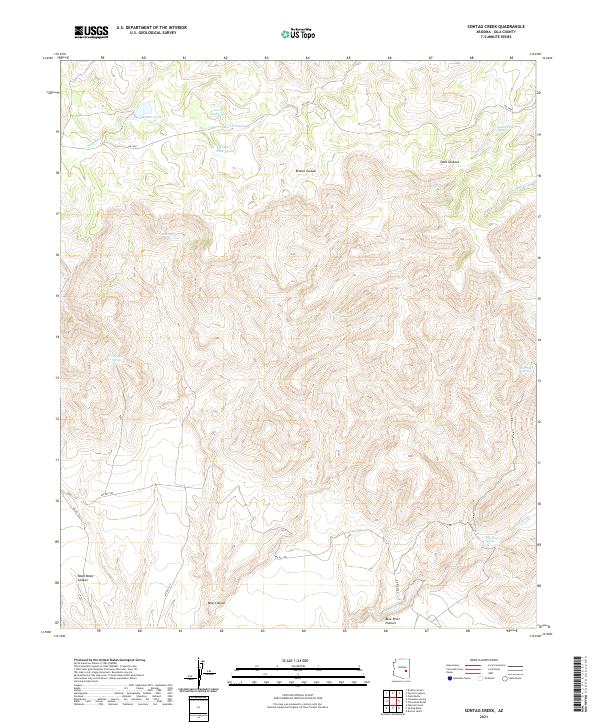
2021 Sontag Creek
Gila County, AZ
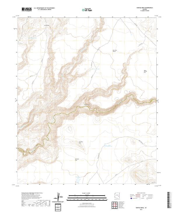
2021 Sontag Mesa
Gila County, AZ

2021 Two Bar Mountain
Gila County, AZ
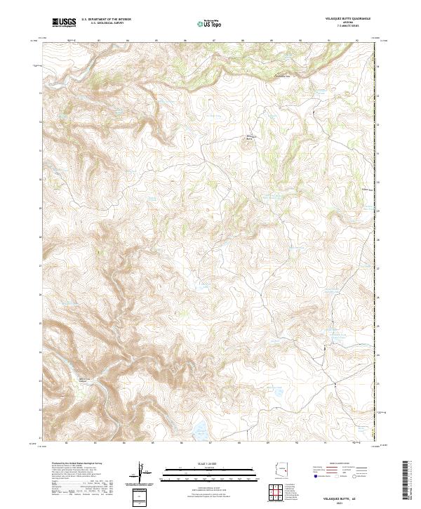
2021 Velasquez Butte
Gila County, AZ
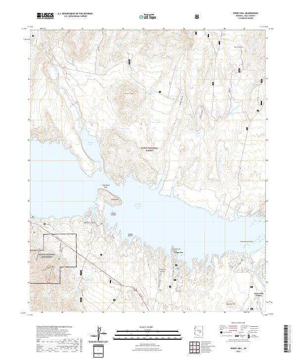
2021 Windy Hill
Gila County, AZ
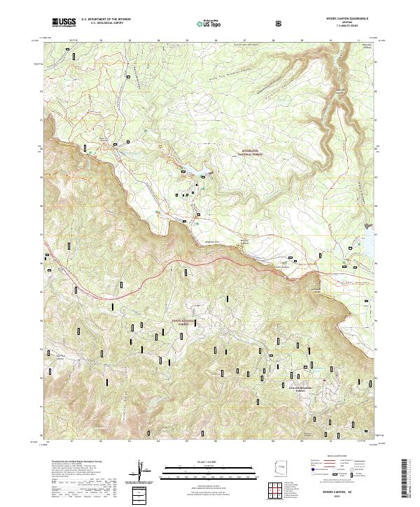
2021 Woods Canyon
Gila County, AZ
2023 Cane Springs Mountain
Gila County, AZ
2023 McDonald Mountain
Gila County, AZ
2023 McFadden Peak
Gila County, AZ
2023 Payson South
Gila County, AZ
2023 Pinal Peak
Gila County, AZ
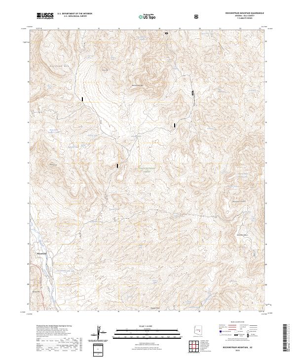
2023 Rockinstraw Mountain
Gila County, AZ
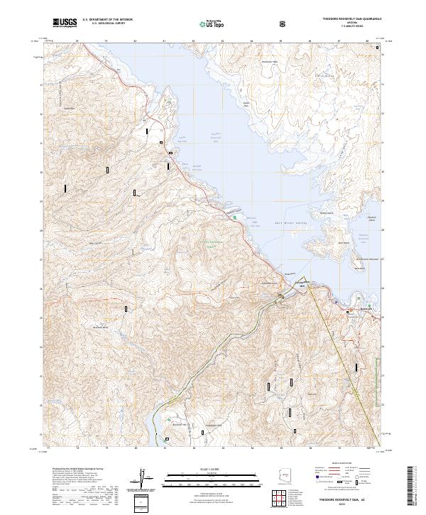
2023 Theodore Roosevelt Dam
Gila County, AZ