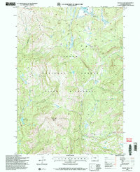
1996 Map of Gravel Peak
USGS Topo · Published 1998About this map
The Teton Wilderness and Teton National Forest define this high-altitude landscape as it was documented in the mid-1990s. The terrain is marked by significant hydrological divides, where the headwaters of the Snake River and Pacific Creek flow from the slopes surrounding Gravel Peak. A critical communication point for forest management is noted at the Gravel Peak FS Radio Repeater, while the Fox Park Patrol Cabin in the northern sector provides a rare glimpse into the infrastructure used for patrolling these remote backcountry reaches.
Find a feature on this map
17 named features on this map. Tap any name to fly to it.
Don’t see what you’re looking for? This feature index may not catch every label — zoom into the map to look around manually.
Map Details
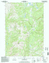
Editions of this 1996 Gravel Peak Map
2 editions found
Other maps of this area

1885 · Lake
USGS Topo · 1:125,000

1895 · Lake
USGS Topo · 1:125,000

1896 · Lake
USGS Topo · 1:125,000

1901 · Lake
USGS Topo · 1:125,000

1902 · Mt Leidy
USGS Topo · 1:125,000

1906 · Lake
USGS Topo · 1:125,000

1911 · Lake
USGS Topo · 1:125,000

1955 · Ashton
USGS Topo · 1:250,000

1955 · Driggs
USGS Topo · 1:250,000

1958 · Driggs
USGS Topo · 1:250,000