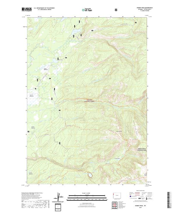
2021 Map of Hominy Peak
USGS Topo · Published 2021About this map
Targhee National Forest and the northwestern edge of Grand Teton National Park define this high-altitude landscape. The map reveals an intricate network of drainages feeding into larger water bodies like Loon Lake and Fish Lake, which are connected by the various branches of Boone Creek. The naming conventions found throughout the area, including Jackass Meadows and Coyote Meadows, reflect the historical livestock and wildlife patterns of this mountain region. The transportation network is dominated by a series of primitive routes and trails, such as the Jackass Loop and the Hominy Peak Trail, which provide access to Hominy Peak and the surrounding Conant Basin. This map documents the wild character of Teton County, where human presence is largely limited to the Ashton-Flagg Ranch road and established forest service paths.
Find a feature on this map
46 named features on this map. Tap any name to fly to it.
Don’t see what you’re looking for? This feature index may not catch every label — zoom into the map to look around manually.
Map Details
Editions of this 2021 Hominy Peak Map
This is the sole edition of this map. No revisions or reprints were ever made.
Other maps of this area

1886 · Shoshone
USGS Topo · 1:125,000

1888 · Shoshone
USGS Topo · 1:125,000

1895 · Shoshone
USGS Topo · 1:125,000

1899 · Grand Teton
USGS Topo · 1:125,000

1901 · Shoshone
USGS Topo · 1:125,000

1901 · Grand Teton
USGS Topo · 1:125,000

1908 · Shoshone
USGS Topo · 1:125,000

1911 · Shoshone
USGS Topo · 1:125,000

1955 · Ashton
USGS Topo · 1:250,000

1955 · Driggs
USGS Topo · 1:250,000