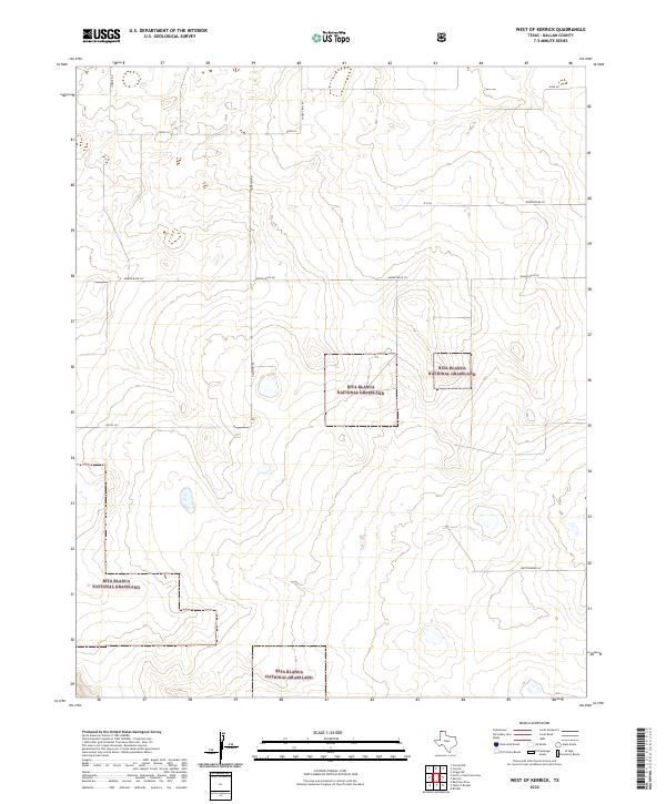
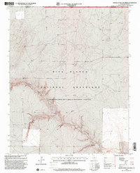
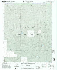
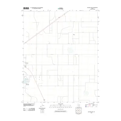
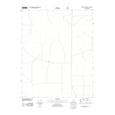
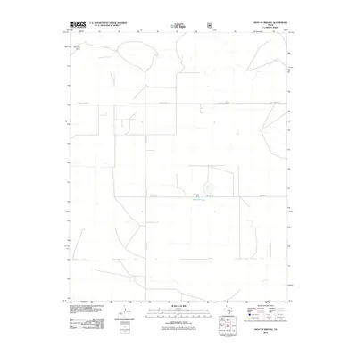
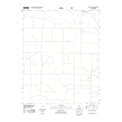
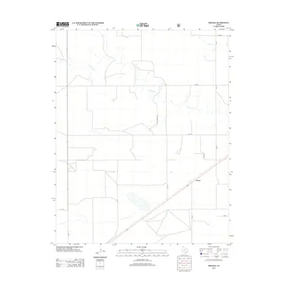
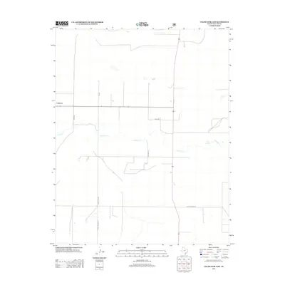
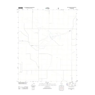
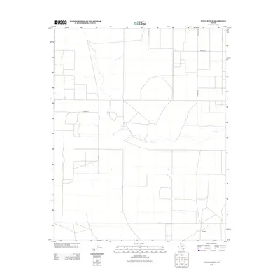
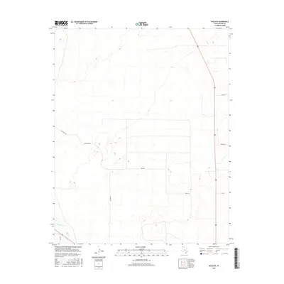
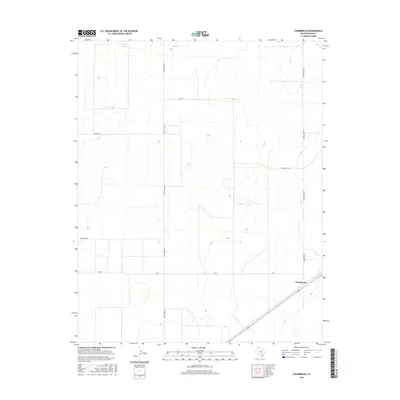
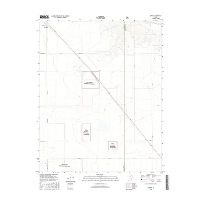
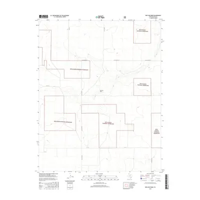
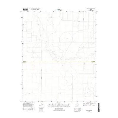
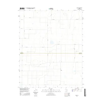
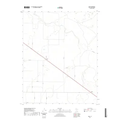
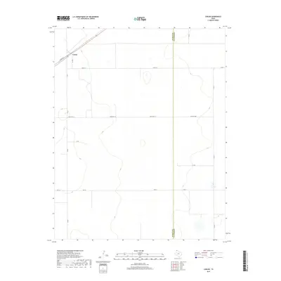
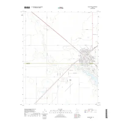
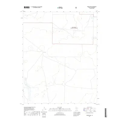
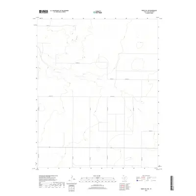
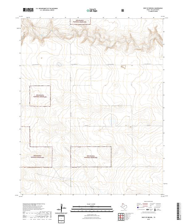
2022 Map of West of Kerrick
USGS Topo · Published 2022About this map
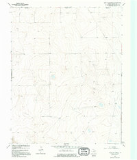
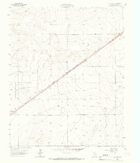
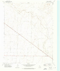
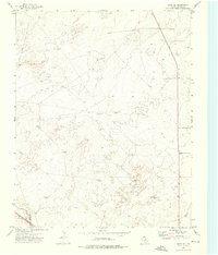
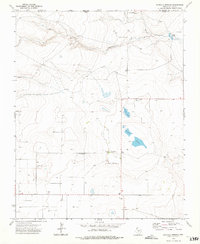
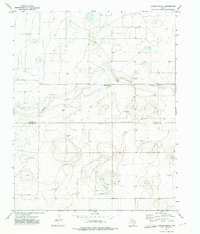
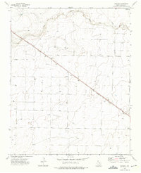
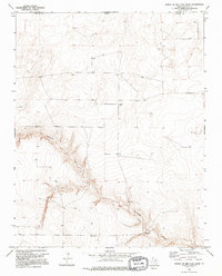
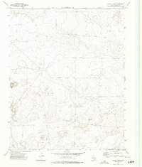
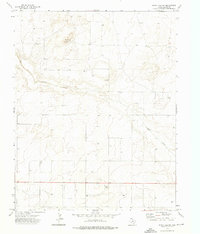
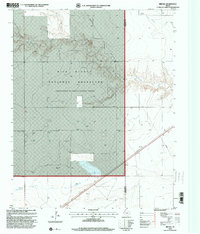
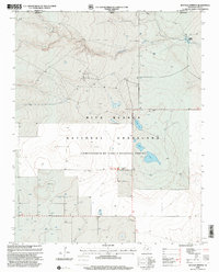
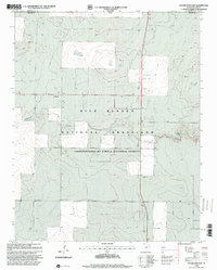
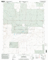
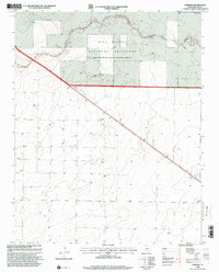
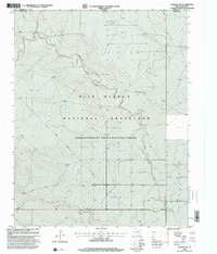
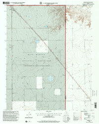
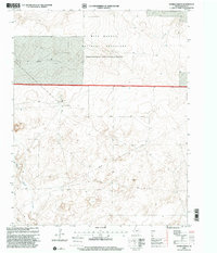
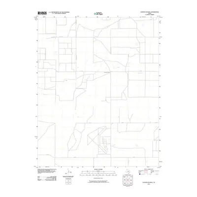
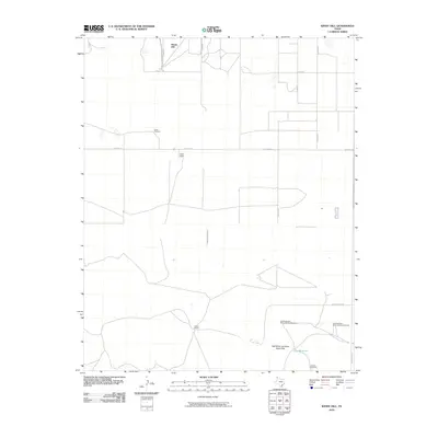
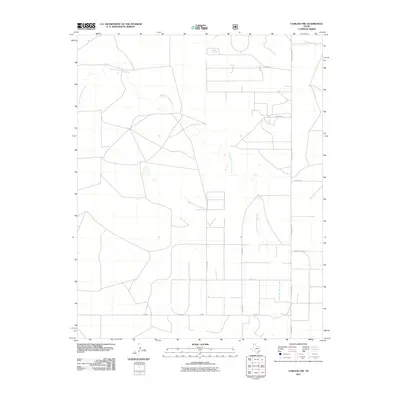
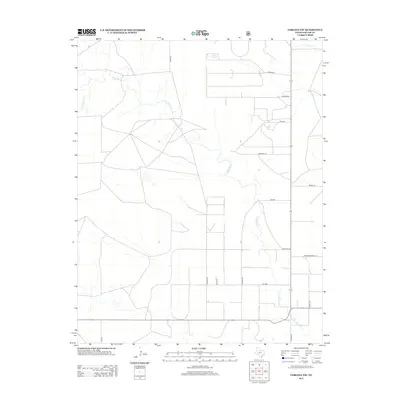
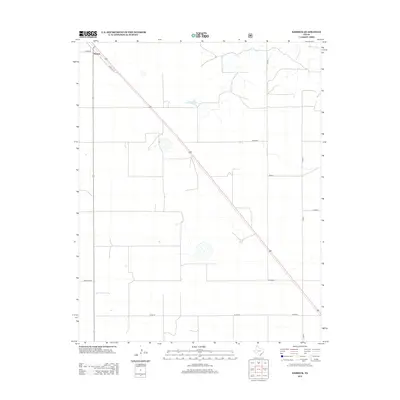
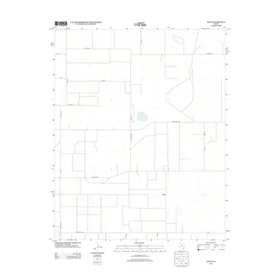
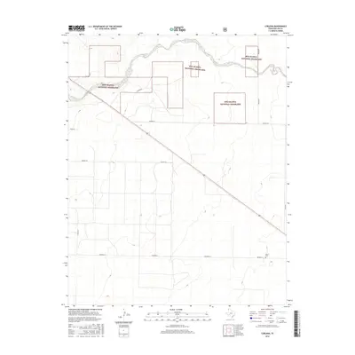
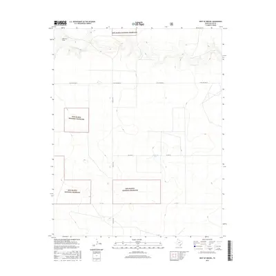
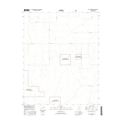
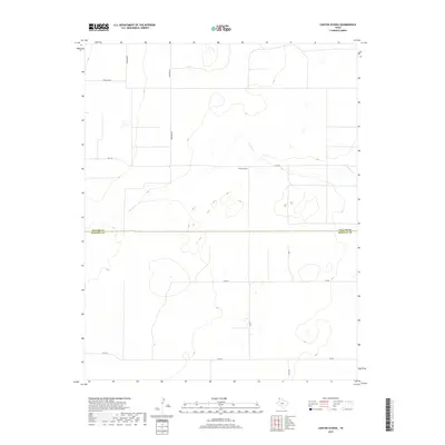
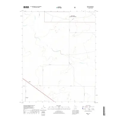
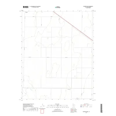
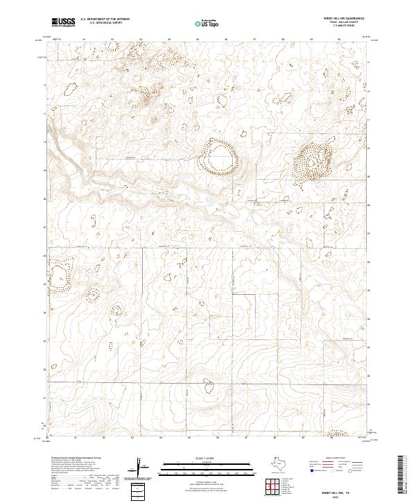
Rita Blanca National Grassland dominates the landscape of Dallam County in this modern survey, reflecting the conservation efforts and land management patterns of the Texas Panhandle. The map reveals a grid of rural lanes and family-named roads that navigate the vast, level high plains terrain. Local transit and property access are defined by corridors like Whittenburg Ln, Minnie Mack Ln, and Schoonover Ln, which partition the grassland units. This 2022 dataset provides a clear view of the contemporary intersection between public federal lands and private ranching interests, tracing the sparse but critical network of thoroughfares such as Sandy Trail Rd and Hampton Rd that sustain this livestock-driven economy.
Find a feature on this map
11 named features on this map. Tap any name to fly to it.
Don’t see what you’re looking for? This feature index may not catch every label — zoom into the map to look around manually.
Map Details
Editions of this 2022 West of Kerrick Map
This is the sole edition of this map. No revisions or reprints were ever made.
Historical Maps of Dallam County Through Time
194 maps found
1964 Brickel
Dallam County, TX
1964 Kerrick
Dallam County, TX
1964 West of Brickel
Dallam County, TX
1964 West of Kerrick
Dallam County, TX
1965 Conlen
Dallam County, TX
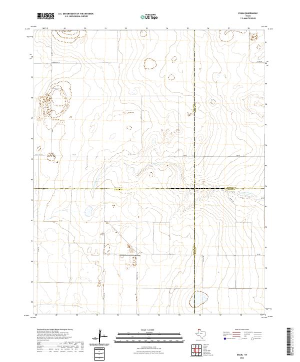
1965 Exum
Dallam County, TX
1965 Wilco
Dallam County, TX
1965 Wilco NE
Dallam County, TX
1973 Bolin
Dallam County, TX
1973 Bolin NE
Dallam County, TX
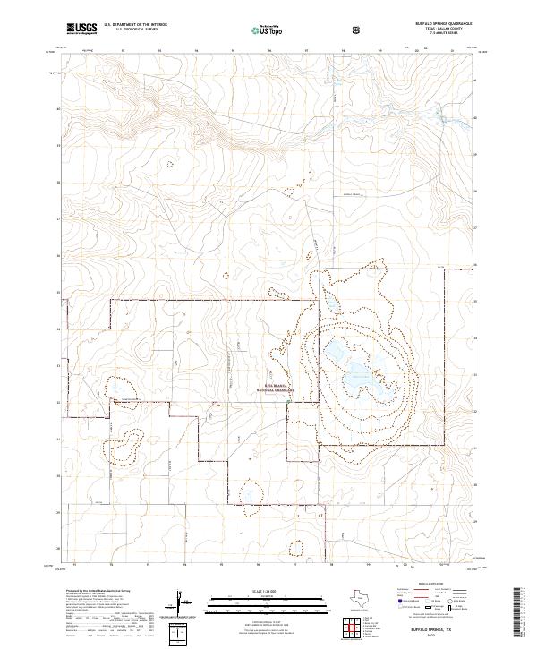
1973 Buffalo Springs
Dallam County, TX
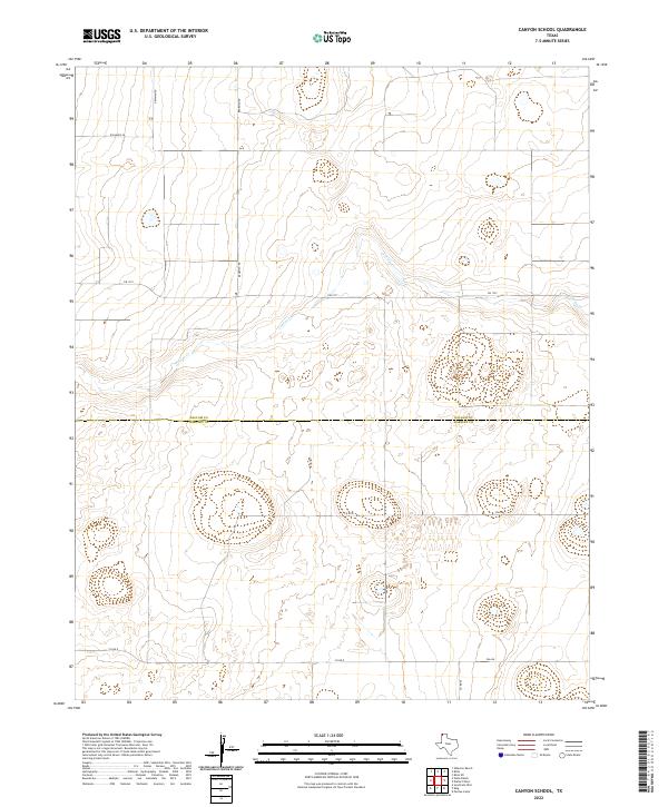
1973 Canyon School
Dallam County, TX
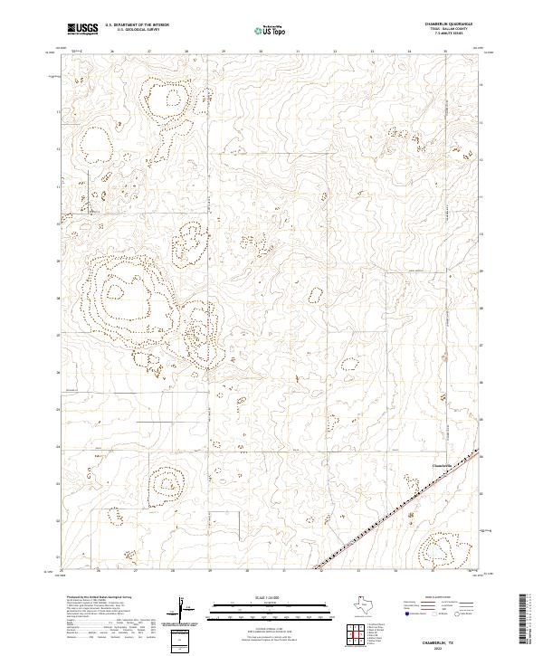
1973 Chamberlin
Dallam County, TX
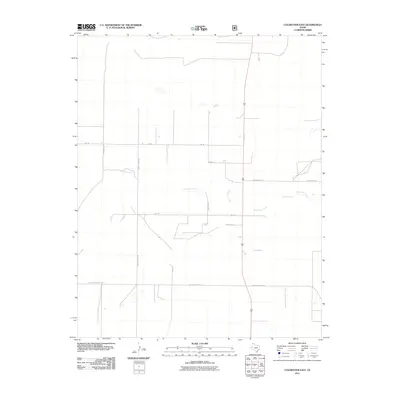
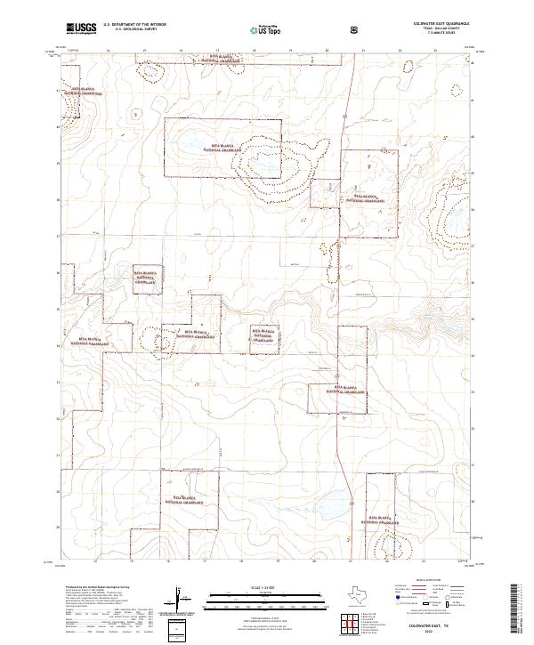
1973 Coldwater East
Dallam County, TX
1973 Coldwater West
Dallam County, TX
1973 Corlena
Dallam County, TX
1973 Corlena NW
Dallam County, TX
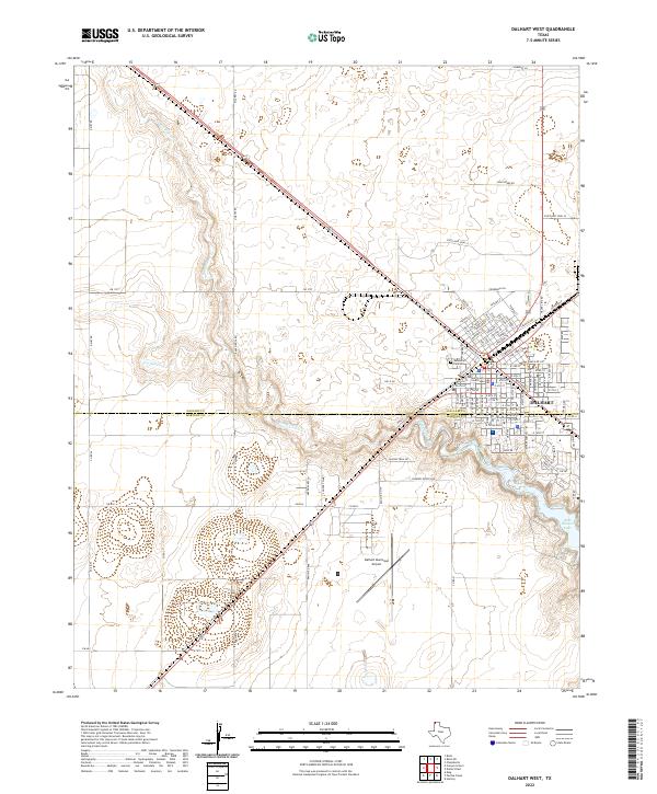
1973 Dalhart East
Dallam County, TX
1973 Dalhart West
Dallam County, TX
1973 North of Red Cow Draw
Dallam County, TX
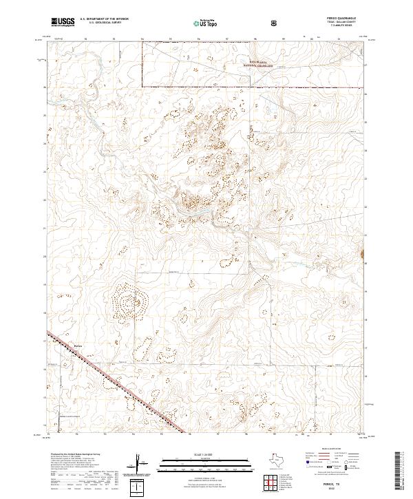
1973 Perico
Dallam County, TX
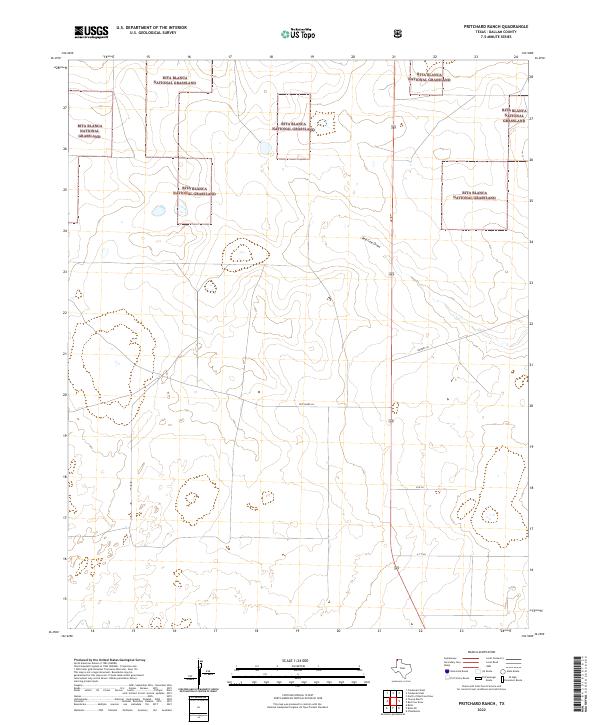
1973 Pritchard Ranch
Dallam County, TX
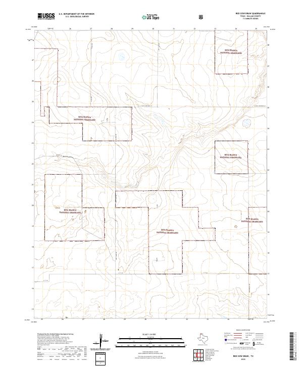
1973 Red Cow Draw
Dallam County, TX
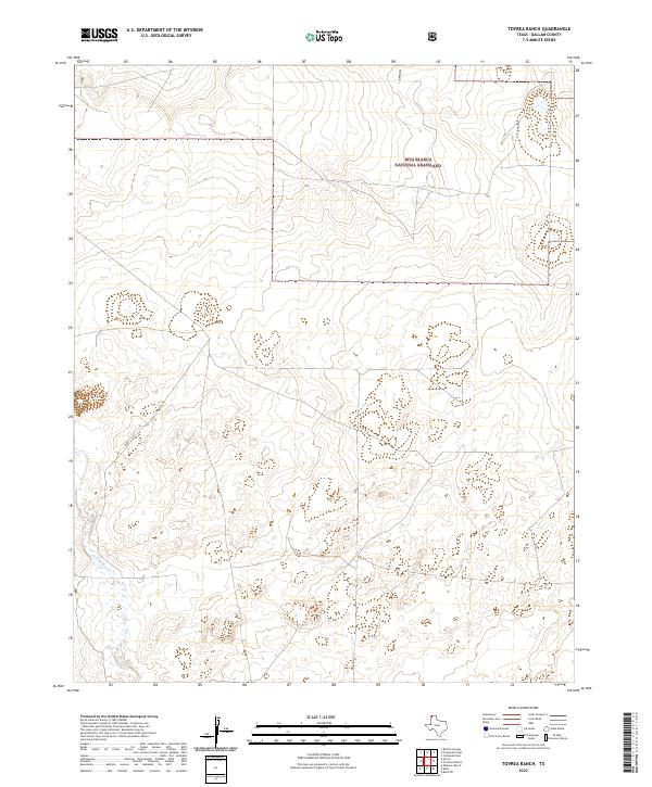
1973 Tovrea Ranch
Dallam County, TX
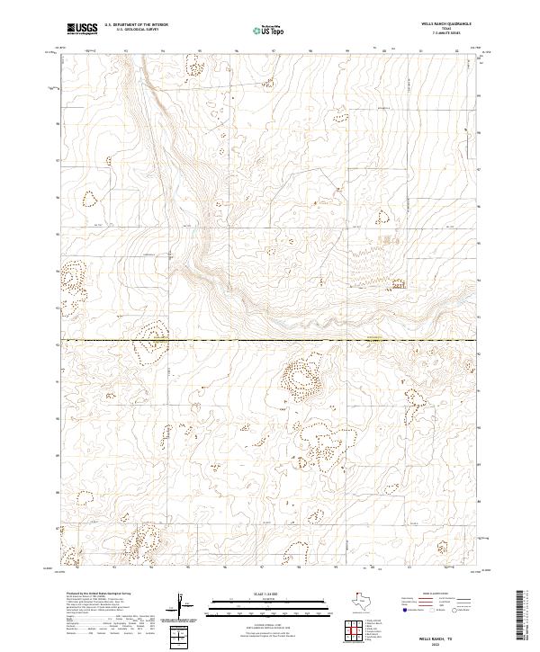
1973 Wells Ranch
Dallam County, TX
1973 Wharton Ranch
Dallam County, TX
1973 Windy Hill
Dallam County, TX
1973 Windy Hill NW
Dallam County, TX
1998 Brickel
Dallam County, TX
1998 Buffalo Springs
Dallam County, TX
1998 Coldwater East
Dallam County, TX
1998 Coldwater West
Dallam County, TX
1998 Corlena
Dallam County, TX
1998 Corlena NW
Dallam County, TX
1998 Kerrick
Dallam County, TX
1998 North of Red Cow Draw
Dallam County, TX
1998 Perico
Dallam County, TX
1998 Pritchard Ranch
Dallam County, TX
1998 Red Cow Draw
Dallam County, TX
1998 Tavrea Ranch
Dallam County, TX
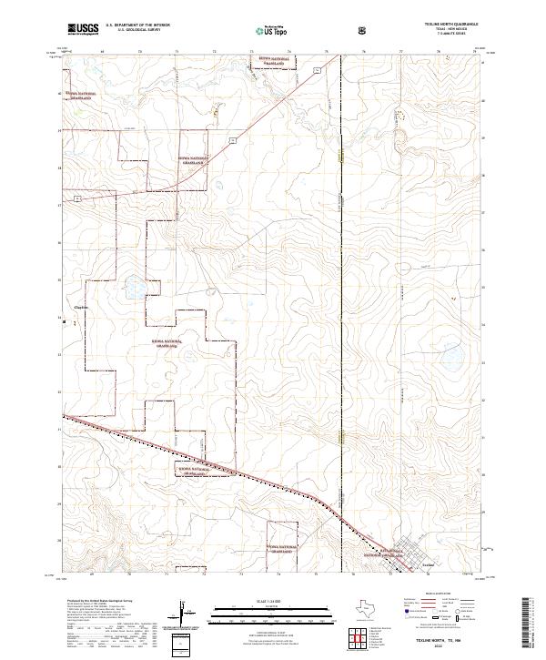
1998 Texline North
Dallam County, TX
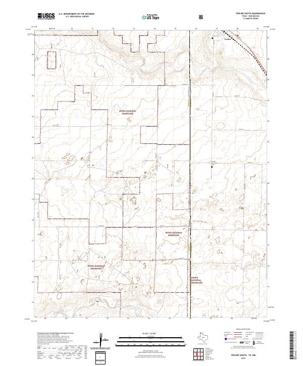
1998 Texline South
Dallam County, TX
1998 West of Brickel
Dallam County, TX
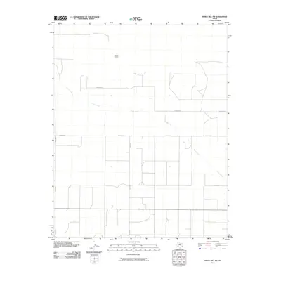
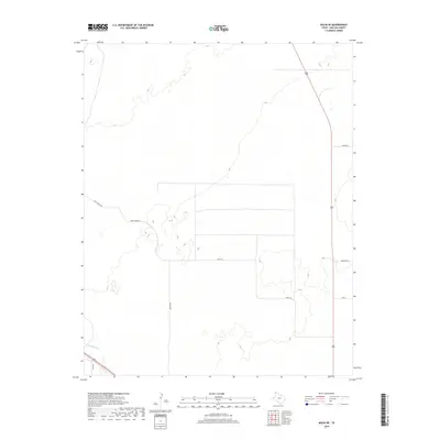
1998 West of Kerrick
Dallam County, TX
2010 Bolin
Dallam County, TX
2010 Bolin NE
Dallam County, TX
2010 Brickel
Dallam County, TX
2010 Canyon School
Dallam County, TX
2010 Chamberlin
Dallam County, TX
2010 Conlen
Dallam County, TX
2010 Corlena
Dallam County, TX
2010 Dalhart East
Dallam County, TX
2010 Dalhart West
Dallam County, TX
2010 Exum
Dallam County, TX
2010 Perico
Dallam County, TX
2010 Pritchard Ranch
Dallam County, TX
2010 Red Cow Draw
Dallam County, TX
2010 Tovrea Ranch
Dallam County, TX
2010 Wells Ranch
Dallam County, TX
2010 West of Brickel
Dallam County, TX
2010 Wharton Ranch
Dallam County, TX
2010 Wilco
Dallam County, TX
2010 Wilco NE
Dallam County, TX
2010 Windy Hill
Dallam County, TX
2010 Windy Hill NW
Dallam County, TX
2011 Buffalo Springs
Dallam County, TX
2011 Coldwater East
Dallam County, TX

2011 Coldwater West
Dallam County, TX
2011 Corlena NW
Dallam County, TX
2011 Kerrick
Dallam County, TX
2011 North of Red Cow Draw
Dallam County, TX
2011 Texline North
Dallam County, TX
2011 Texline South
Dallam County, TX
2011 West of Kerrick
Dallam County, TX
2012 Bolin
Dallam County, TX
2012 Bolin NE
Dallam County, TX
2012 Brickel
Dallam County, TX
2012 Buffalo Springs
Dallam County, TX
2012 Canyon School
Dallam County, TX
2012 Chamberlin
Dallam County, TX
2012 Coldwater East
Dallam County, TX
2012 Coldwater West
Dallam County, TX
2012 Conlen
Dallam County, TX
2012 Corlena
Dallam County, TX
2012 Corlena NW
Dallam County, TX
2012 Dalhart East
Dallam County, TX
2012 Dalhart West
Dallam County, TX
2012 Exum
Dallam County, TX
2012 Kerrick
Dallam County, TX
2012 North of Red Cow Draw
Dallam County, TX
2012 Perico
Dallam County, TX
2012 Pritchard Ranch
Dallam County, TX
2012 Red Cow Draw
Dallam County, TX
2012 Texline North
Dallam County, TX
2012 Texline South
Dallam County, TX
2012 Tovrea Ranch
Dallam County, TX
2012 Wells Ranch
Dallam County, TX
2012 West of Brickel
Dallam County, TX
2012 West of Kerrick
Dallam County, TX
2012 Wharton Ranch
Dallam County, TX
2012 Wilco
Dallam County, TX
2012 Wilco NE
Dallam County, TX
2012 Windy Hill
Dallam County, TX

2012 Windy Hill NW
Dallam County, TX
2016 Bolin
Dallam County, TX
2016 Bolin NE
Dallam County, TX
2016 Brickel
Dallam County, TX
2016 Buffalo Springs
Dallam County, TX
2016 Canyon School
Dallam County, TX
2016 Chamberlin
Dallam County, TX
2016 Coldwater East
Dallam County, TX
2016 Coldwater West
Dallam County, TX
2016 Conlen
Dallam County, TX
2016 Corlena
Dallam County, TX
2016 Corlena NW
Dallam County, TX
2016 Dalhart East
Dallam County, TX
2016 Dalhart West
Dallam County, TX

2016 Exum
Dallam County, TX
2016 Kerrick
Dallam County, TX
2016 North of Red Cow Draw
Dallam County, TX
2016 Perico
Dallam County, TX
2016 Pritchard Ranch
Dallam County, TX
2016 Red Cow Draw
Dallam County, TX
2016 Texline North
Dallam County, TX
2016 Texline South
Dallam County, TX
2016 Tovrea Ranch
Dallam County, TX
2016 Wells Ranch
Dallam County, TX
2016 West of Brickel
Dallam County, TX
2016 West of Kerrick
Dallam County, TX
2016 Wharton Ranch
Dallam County, TX
2016 Wilco
Dallam County, TX
2016 Wilco NE
Dallam County, TX
2016 Windy Hill
Dallam County, TX
2016 Windy Hill NW
Dallam County, TX
2019 Bolin
Dallam County, TX
2019 Bolin NE
Dallam County, TX
2019 Brickel
Dallam County, TX
2019 Buffalo Springs
Dallam County, TX
2019 Canyon School
Dallam County, TX
2019 Chamberlin
Dallam County, TX
2019 Coldwater East
Dallam County, TX
2019 Coldwater West
Dallam County, TX
2019 Conlen
Dallam County, TX
2019 Corlena
Dallam County, TX
2019 Corlena NW
Dallam County, TX
2019 Dalhart East
Dallam County, TX
2019 Dalhart West
Dallam County, TX
2019 Exum
Dallam County, TX
2019 Kerrick
Dallam County, TX
2019 North of Red Cow Draw
Dallam County, TX
2019 Perico
Dallam County, TX
2019 Pritchard Ranch
Dallam County, TX

2019 Red Cow Draw
Dallam County, TX
2019 Texline North
Dallam County, TX
2019 Texline South
Dallam County, TX
2019 Tovrea Ranch
Dallam County, TX
2019 Wells Ranch
Dallam County, TX
2019 West of Brickel
Dallam County, TX
2019 West of Kerrick
Dallam County, TX
2019 Wharton Ranch
Dallam County, TX
2019 Wilco
Dallam County, TX
2019 Wilco NE
Dallam County, TX
2019 Windy Hill
Dallam County, TX
2019 Windy Hill NW
Dallam County, TX
2022 Bolin
Dallam County, TX
2022 Bolin NE
Dallam County, TX
2022 Brickel
Dallam County, TX
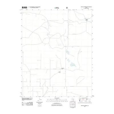
2022 Buffalo Springs
Dallam County, TX
2022 Canyon School
Dallam County, TX
2022 Chamberlin
Dallam County, TX
2022 Coldwater East
Dallam County, TX
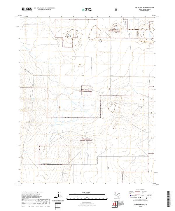
2022 Coldwater West
Dallam County, TX
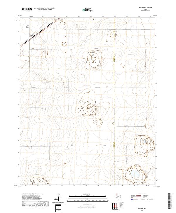
2022 Conlen
Dallam County, TX

2022 Corlena
Dallam County, TX
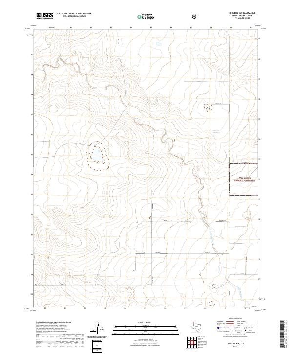
2022 Corlena NW
Dallam County, TX
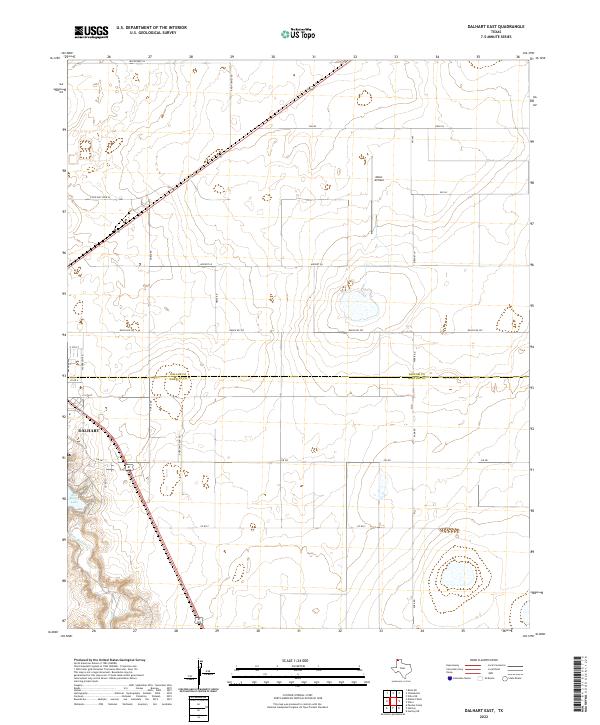
2022 Dalhart East
Dallam County, TX
2022 Dalhart West
Dallam County, TX
2022 Exum
Dallam County, TX
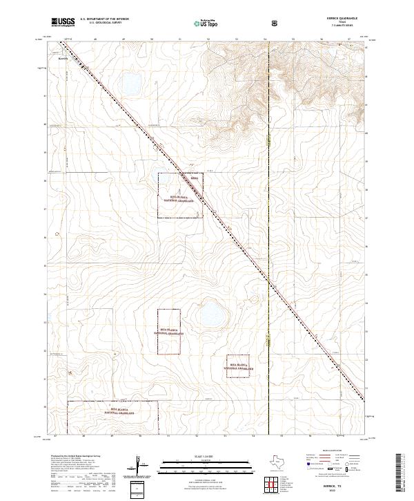
2022 Kerrick
Dallam County, TX
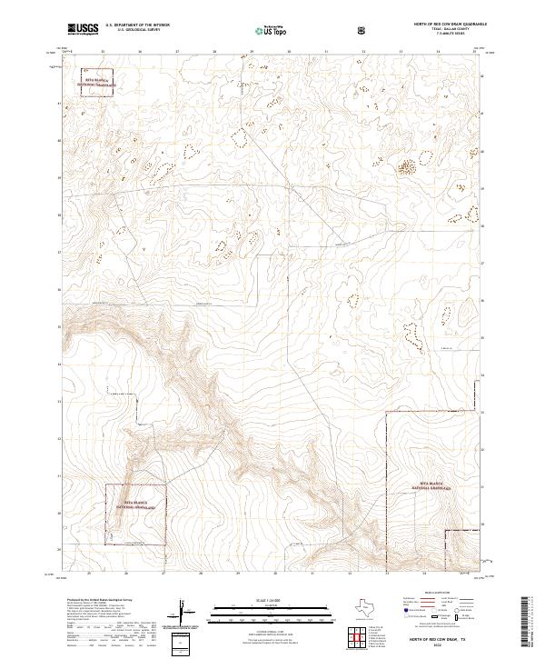
2022 North of Red Cow Draw
Dallam County, TX
2022 Perico
Dallam County, TX
2022 Pritchard Ranch
Dallam County, TX
2022 Red Cow Draw
Dallam County, TX
2022 Texline North
Dallam County, TX
2022 Texline South
Dallam County, TX
2022 Tovrea Ranch
Dallam County, TX
2022 Wells Ranch
Dallam County, TX
2022 West of Brickel
Dallam County, TX
2022 West of Kerrick
Dallam County, TX
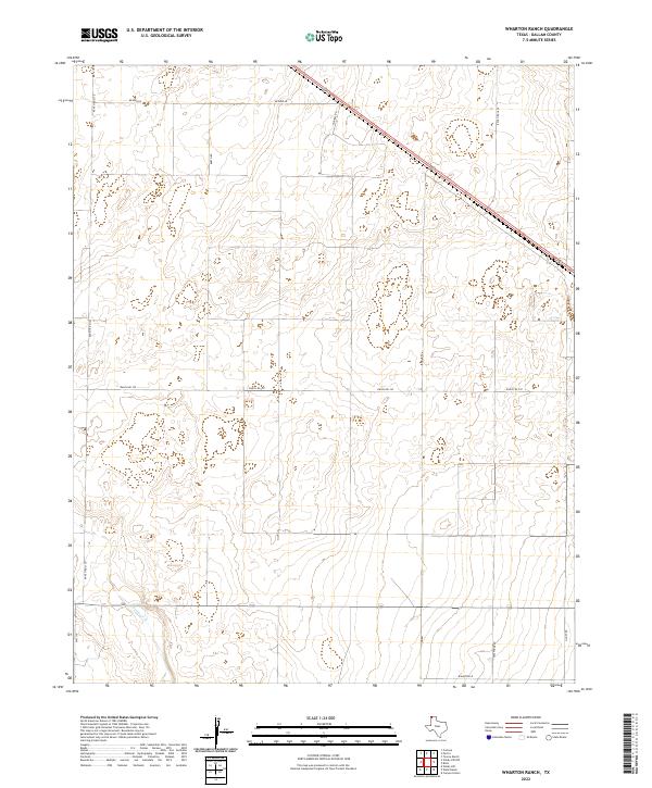
2022 Wharton Ranch
Dallam County, TX
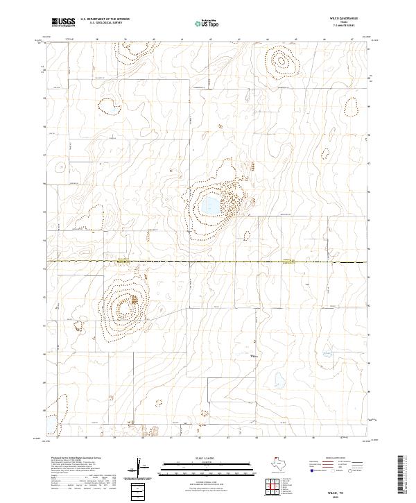
2022 Wilco
Dallam County, TX
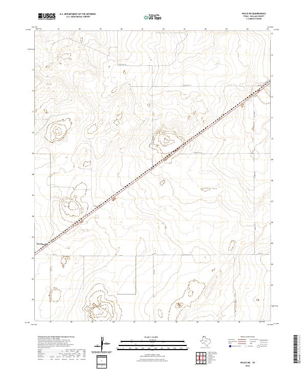
2022 Wilco NE
Dallam County, TX
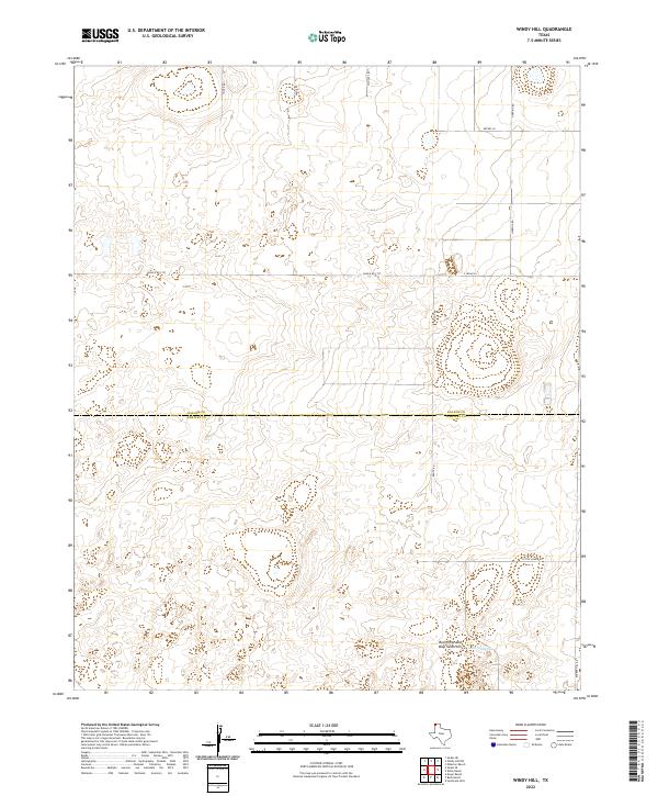
2022 Windy Hill
Dallam County, TX
2022 Windy Hill NW
Dallam County, TX