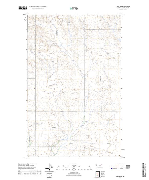
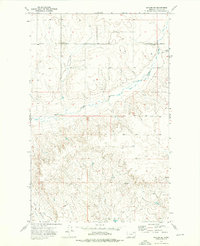
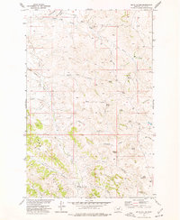
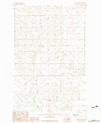
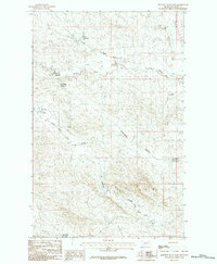
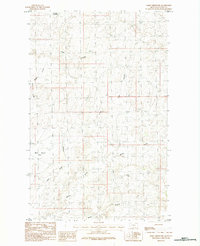
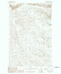
2024 Map of Larslan NW
USGS Topo · Published 2024About this map
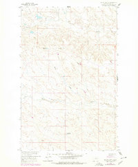
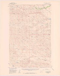
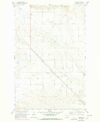
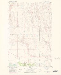
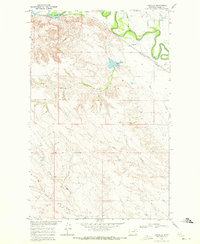
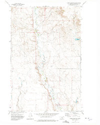
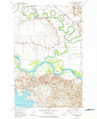
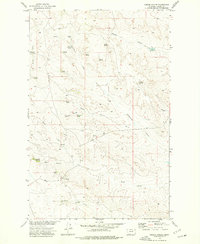
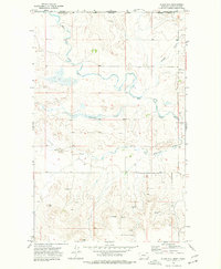
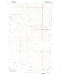
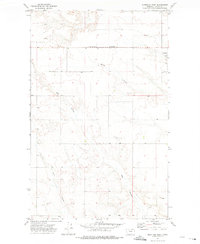
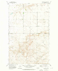
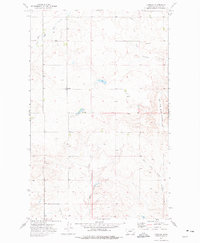
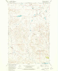
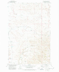
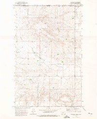
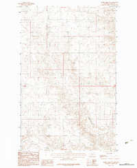
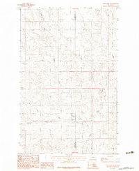
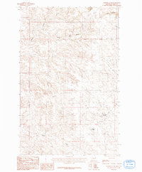
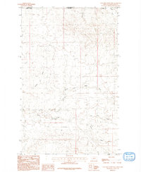
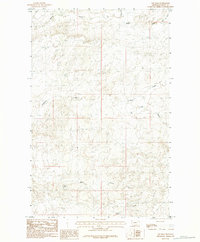
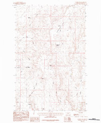
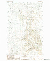
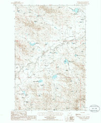
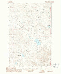
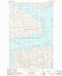
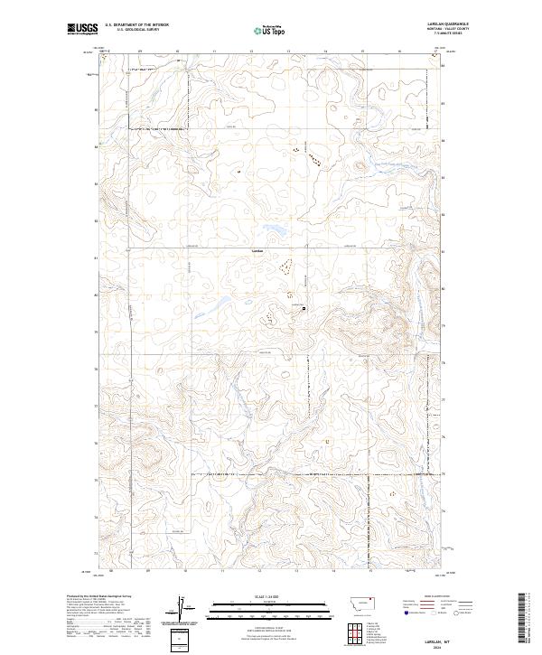
East Fork Snow Coulee and the main channel of Snow Coulee cut through the high plains of Valley County, defining the drainage patterns of this rural Montana landscape. The map reveals a highly structured grid of section lines and gravel roads, reflecting the systematic land division of the American West. Primary transit routes such as the Glentana-Nashua Rd and Baylor Rd connect disparate homesteads and agricultural tracts, while family-named local roads like Zemliska Rd, Dohlen Rd, and Alden Rd provide clues to the region's ranching and farming heritage. To the northeast, the terrain slopes toward Hell Creek, a prominent hydrological feature that breaks the symmetry of the surveyed townships. This map is particularly useful for identifying specific land parcels within the T34N and T35N ranges, as well as the network of secondary roads such as Sunnyside N Rd and Larslan Rd that serve this quiet corner of the Big Sky state.
Find a feature on this map
20 named features on this map. Tap any name to fly to it.
Don’t see what you’re looking for? This feature index may not catch every label — zoom into the map to look around manually.
Map Details
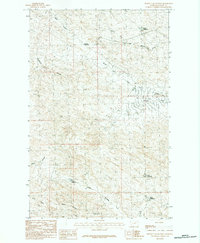
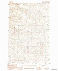
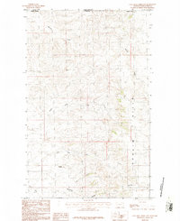
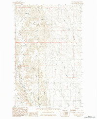
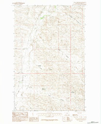
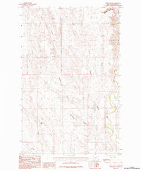
Editions of this 2024 Larslan NW Map
This is the sole edition of this map. No revisions or reprints were ever made.
Historical Maps of Frazer District Through Time
203 maps found
1910 Todd Lakes
Valley County, MT

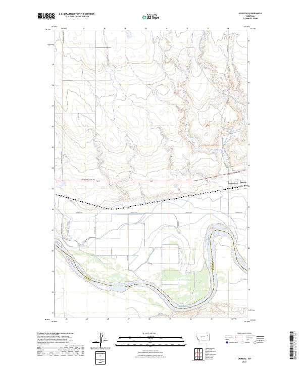
1915 Oswego
Valley County, MT
1915 Spring Creek
Valley County, MT

1915 Todd Lakes
Valley County, MT
1918 Porcupine Valley
Valley County, MT

1919 Boundary
Valley County, MT
1958 Billick Coulee
Valley County, MT
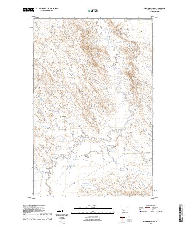
1958 Blanchard Ranch
Valley County, MT
1958 Engstrom Ranch
Valley County, MT
1958 Lewis Reservoir
Valley County, MT
1958 Miller Coulee
Valley County, MT
1958 Seventh Point Buttes
Valley County, MT
1958 Skunk Coulee
Valley County, MT
1958 Whately
Valley County, MT
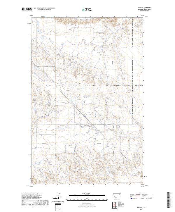
1958 Wheeler
Valley County, MT
1969 Chapman Coulee NE
Valley County, MT
1969 Chapman Coulee
Valley County, MT
1969 Cornwell Reservoir
Valley County, MT
1969 Ellsworth Coulee
Valley County, MT
1969 Hawk Coulee
Valley County, MT
1969 Tampico NE
Valley County, MT
1969 Tampico
Valley County, MT
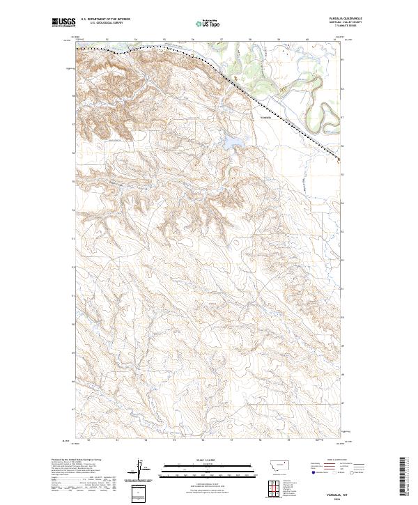
1969 Vandalia
Valley County, MT
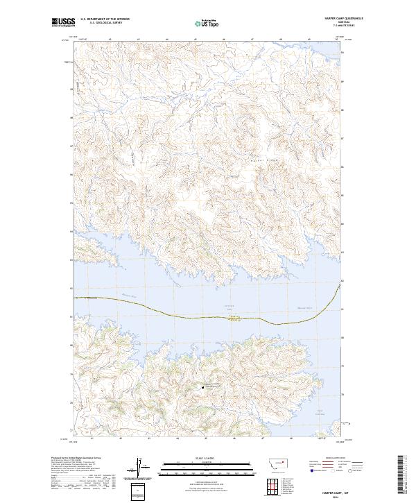
1971 Harper Camp
Valley County, MT
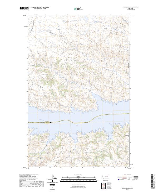
1971 Wagon Coulee
Valley County, MT
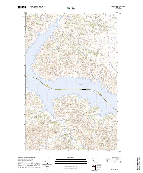
1971 Wolfe Coulee
Valley County, MT
1972 Dubbe Reservoir
Valley County, MT
1972 Kintyre
Valley County, MT
1972 Lindeke Coulee
Valley County, MT
1972 Milk River Coulee
Valley County, MT
1972 Milk River Hills
Valley County, MT
1972 Oswego NW
Valley County, MT
1972 Oswego
Valley County, MT
1973 Baylor NE
Valley County, MT
1973 Baylor SE
Valley County, MT
1973 Baylor
Valley County, MT
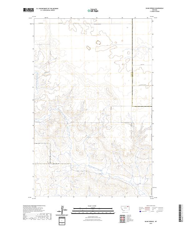
1973 Blink Springs
Valley County, MT
1973 Cameron Point
Valley County, MT
1973 Gibson Coulee
Valley County, MT
1973 Glass Hill
Valley County, MT
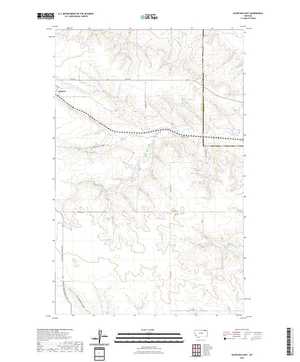
1973 Glentana East
Valley County, MT
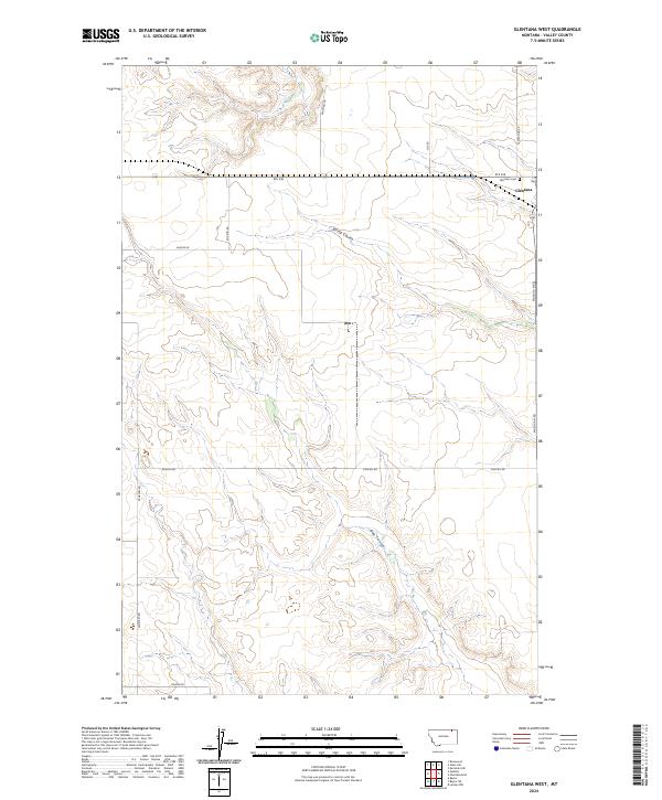
1973 Glentana West
Valley County, MT
1973 Haugens Hill
Valley County, MT
1973 Johnnys Hill
Valley County, MT
1973 Kaminski Hill
Valley County, MT
1973 Larslan NW
Valley County, MT
1973 Larslan
Valley County, MT
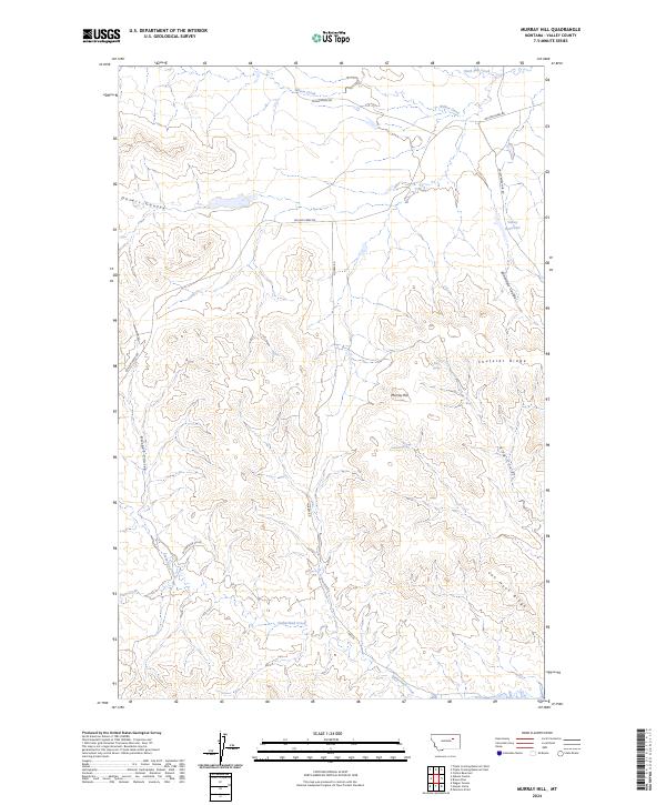
1973 Murray Hill
Valley County, MT
1973 Niles Coulee
Valley County, MT
1973 Roanwood
Valley County, MT
1973 Smith Coulee
Valley County, MT
1973 Triple Crossing Reservoir East
Valley County, MT
1973 Triple Crossing Reservoir West
Valley County, MT
1983 Bullhead Reservoir
Valley County, MT
1983 Hauck Coulee
Valley County, MT
1983 Lookout
Valley County, MT
1983 Lustre
Valley County, MT
1983 Sargent Creek
Valley County, MT
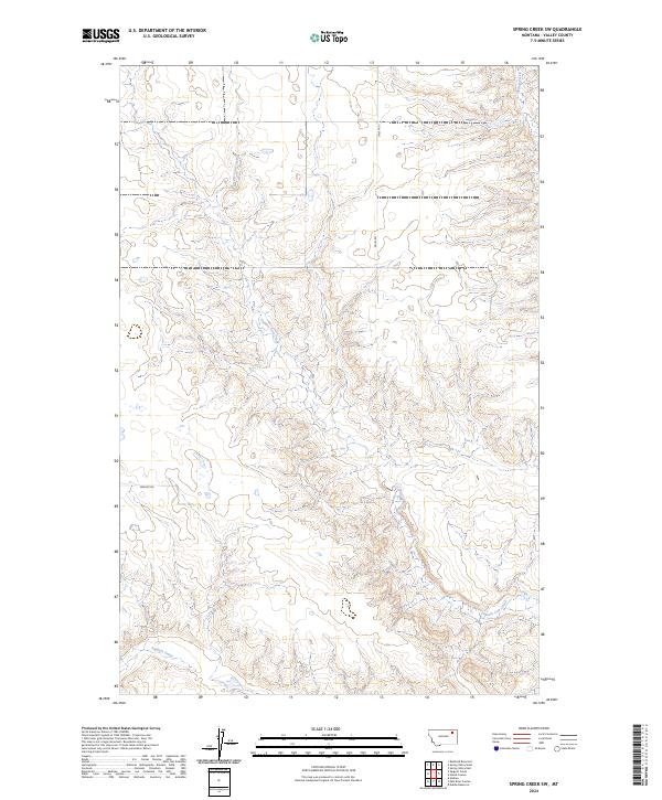
1983 Spring Creek SW
Valley County, MT
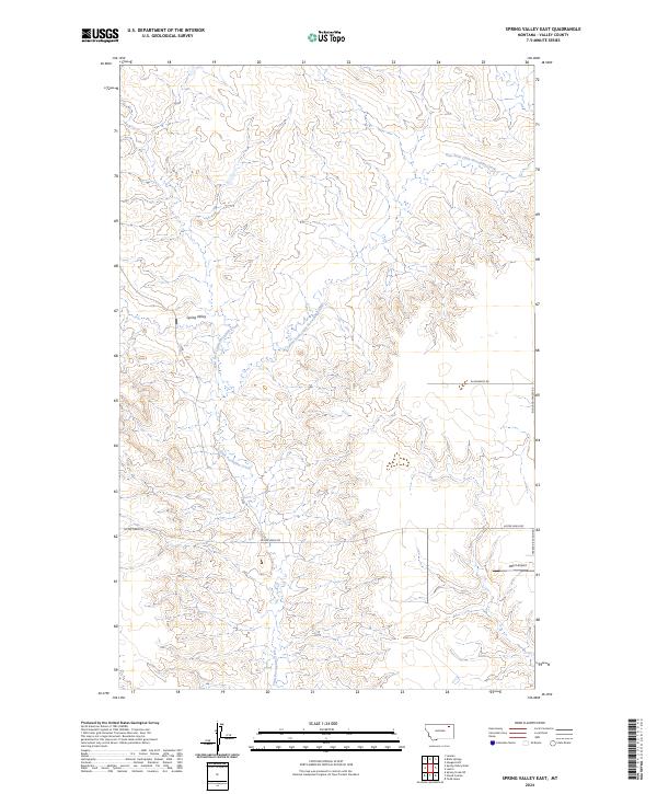
1983 Spring Valley East
Valley County, MT
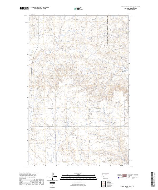
1983 Spring Valley West
Valley County, MT
1983 Todd Lakes NE
Valley County, MT
1983 Todd Lakes SE
Valley County, MT
1983 Todd Lakes
Valley County, MT
1983 Uhlan Coulee
Valley County, MT
1984 Antelope Pass
Valley County, MT
1984 Ashford Coulee
Valley County, MT
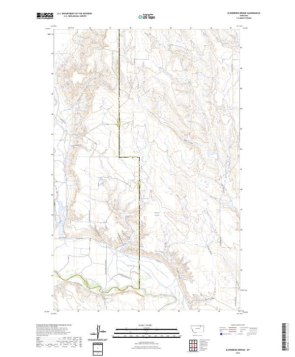
1984 Bjornberg Bridge
Valley County, MT
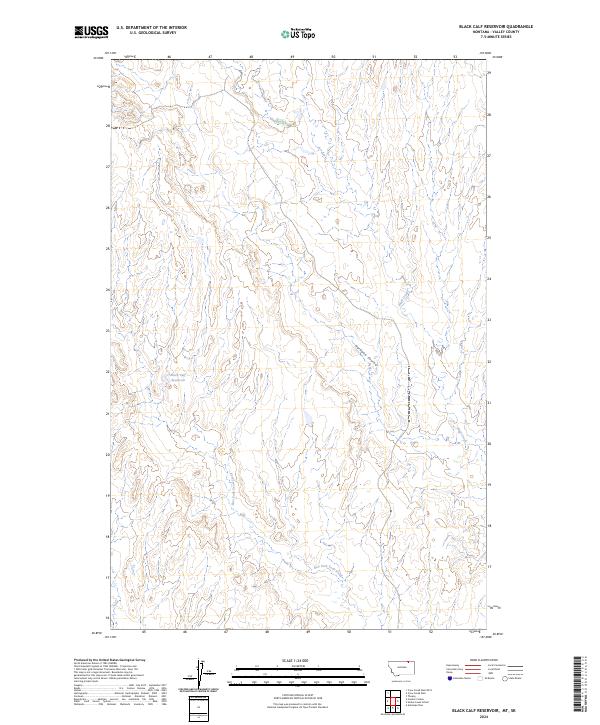
1984 Black Calf Reservoir
Valley County, MT
1984 Burnett Creek
Valley County, MT
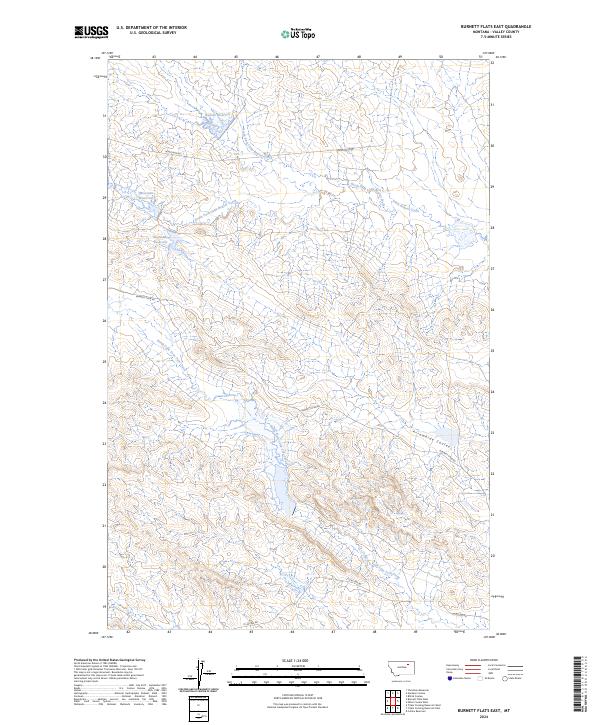
1984 Burnett Flats East
Valley County, MT
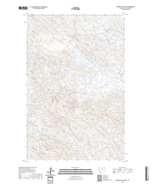
1984 Burnett Flats West
Valley County, MT
1984 Christmas Reservoir
Valley County, MT
1984 Coal Mine Creek East
Valley County, MT
1984 Coal Mine Creek West
Valley County, MT
1984 Coulter Coulee
Valley County, MT
1984 Craig Reservoir
Valley County, MT
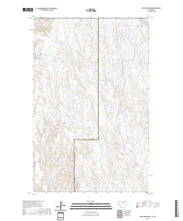
1984 Crow Creek Dam
Valley County, MT
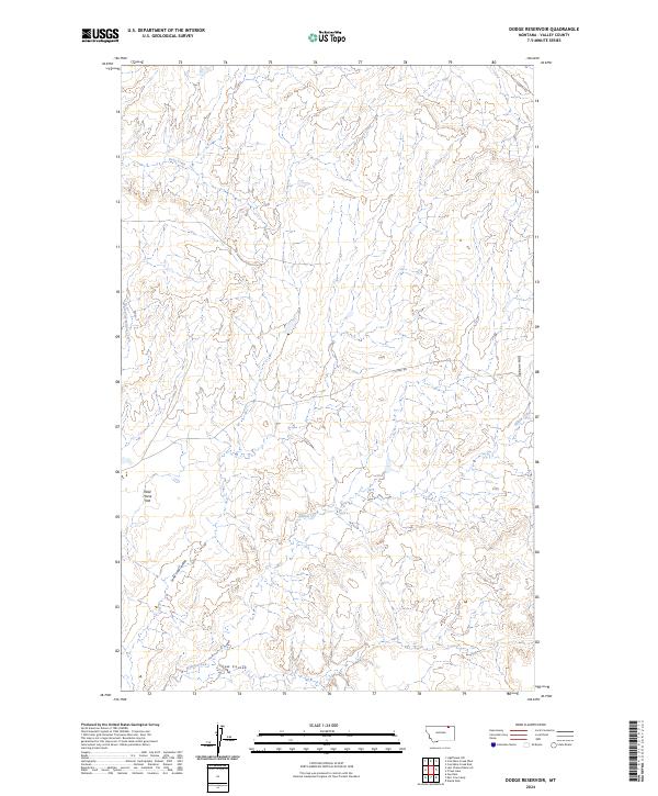
1984 Dodge Reservoir
Valley County, MT
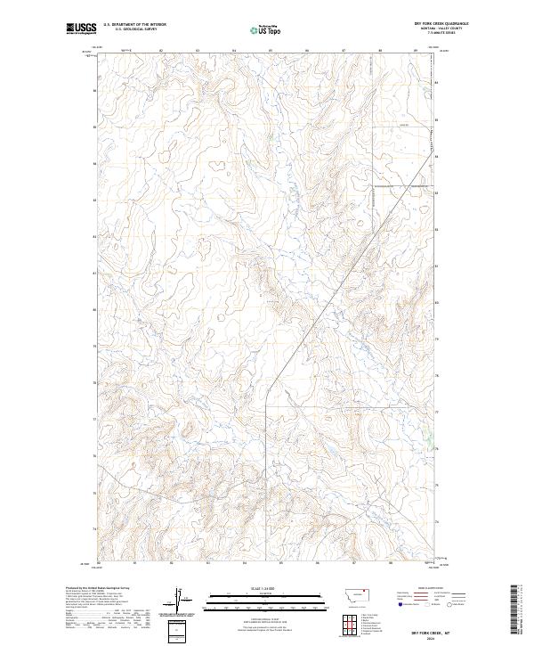
1984 Dry Fork Creek
Valley County, MT
1984 Flat Coulee
Valley County, MT
1984 Forsman Reservoir
Valley County, MT
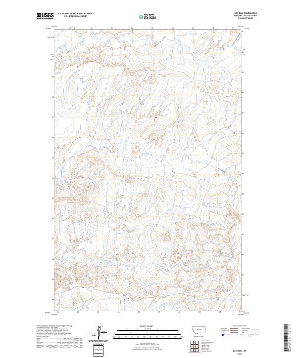
1984 Gay Dam
Valley County, MT
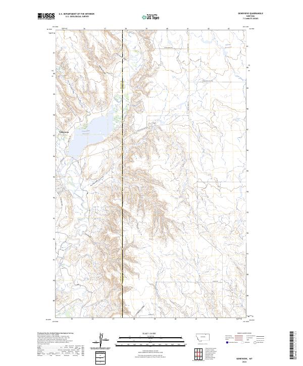
1984 Genevieve
Valley County, MT
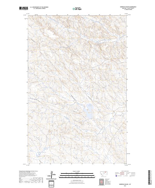
1984 Hardpan Coulee
Valley County, MT
1984 Hinsdale NW
Valley County, MT
1984 Hinsdale SE
Valley County, MT
1984 Jones Coulee
Valley County, MT
1984 Kerr Cow Camp
Valley County, MT
1984 Last Chance Reservoir
Valley County, MT
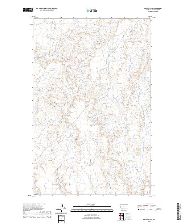
1984 Laundry Hill
Valley County, MT
1984 Lighthouse Hill
Valley County, MT
1984 Miller Springs
Valley County, MT
1984 O'Juel Lake
Valley County, MT
1984 Papoose Hills
Valley County, MT
1984 Snake Creek School
Valley County, MT
1984 Thoeny
Valley County, MT
1984 Wards Dam
Valley County, MT
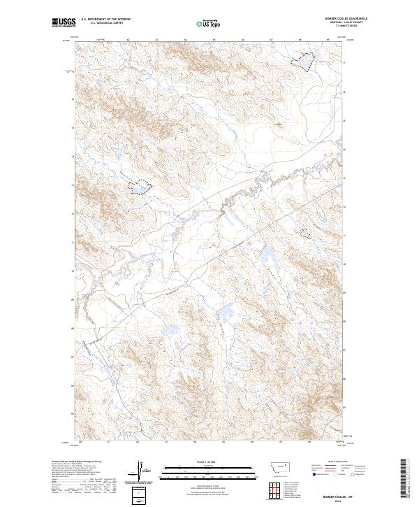
1985 Bomber Coulee
Valley County, MT
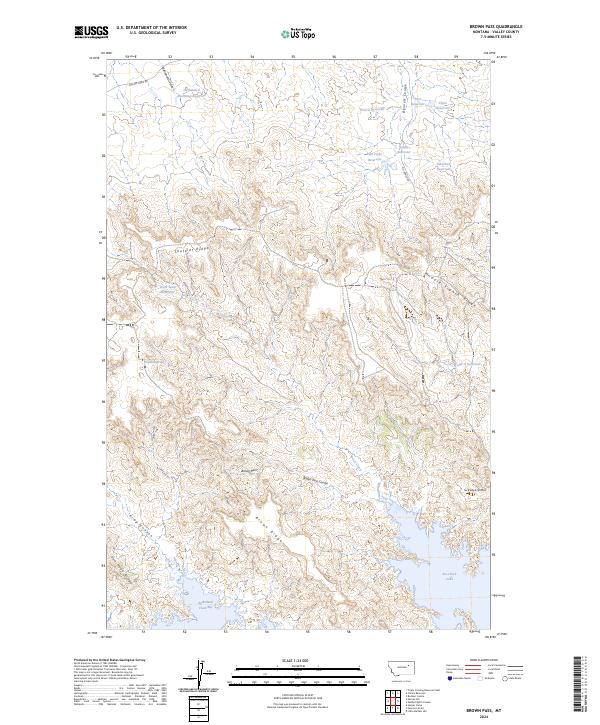
1985 Brown Pass
Valley County, MT
1985 Collins Reservoir
Valley County, MT

1985 Middle Eighth Coulee
Valley County, MT
1985 Miller Coulee East
Valley County, MT
1985 Miller Coulee West
Valley County, MT
1985 Peterson Point
Valley County, MT
2024 Antelope Pass
Valley County, MT
2024 Ashford Coulee
Valley County, MT
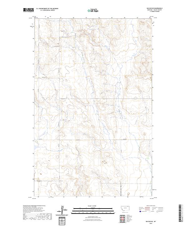
2024 Baylor NE
Valley County, MT
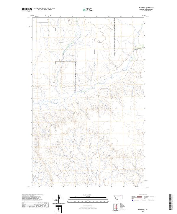
2024 Baylor SE
Valley County, MT
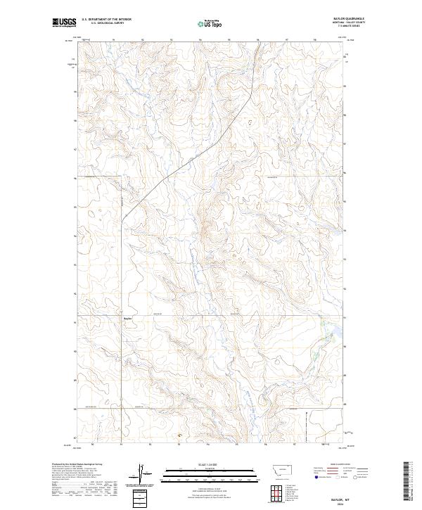
2024 Baylor
Valley County, MT
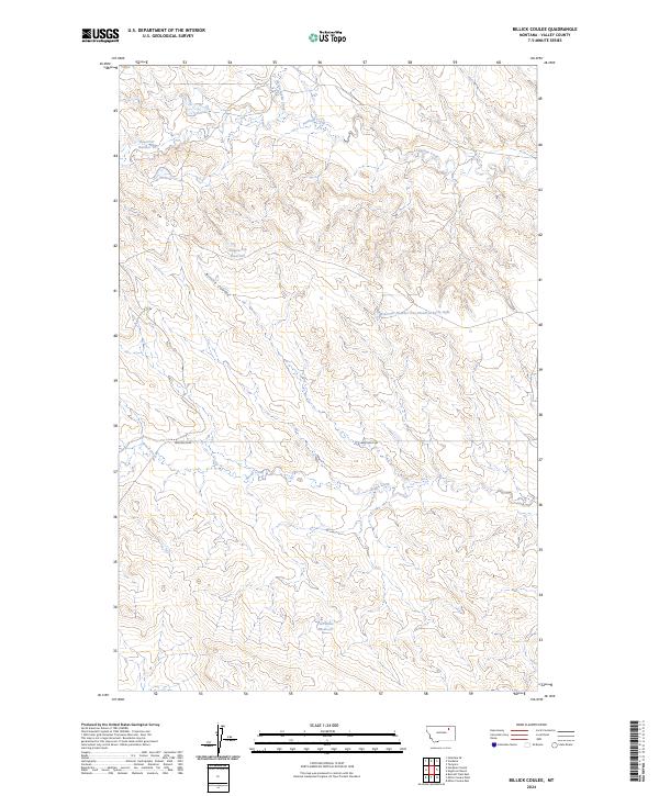
2024 Billick Coulee
Valley County, MT
2024 Bjornberg Bridge
Valley County, MT
2024 Black Calf Reservoir
Valley County, MT
2024 Blanchard Ranch
Valley County, MT
2024 Blink Springs
Valley County, MT
2024 Bomber Coulee
Valley County, MT
2024 Brown Pass
Valley County, MT
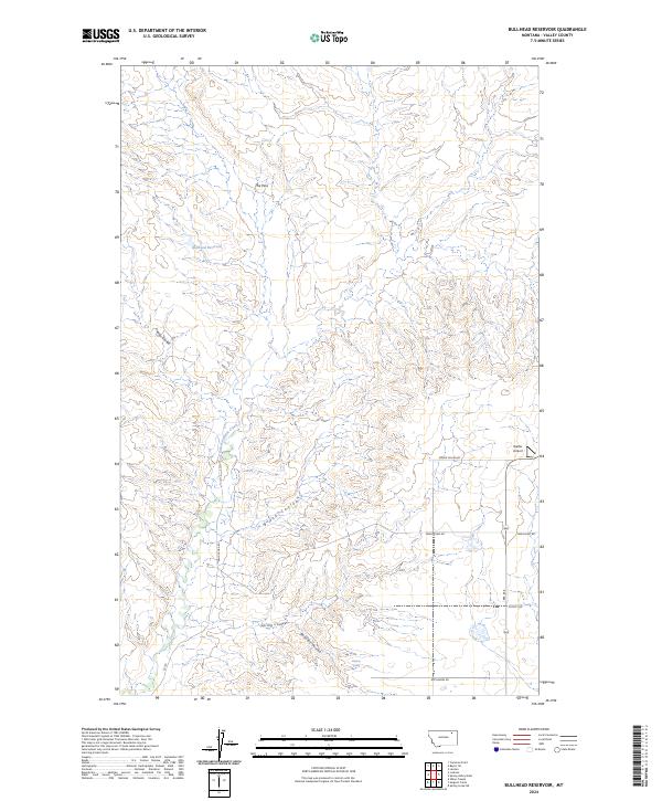
2024 Bullhead Reservoir
Valley County, MT
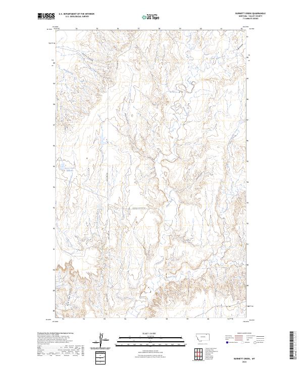
2024 Burnett Creek
Valley County, MT
2024 Burnett Flats East
Valley County, MT
2024 Burnett Flats West
Valley County, MT
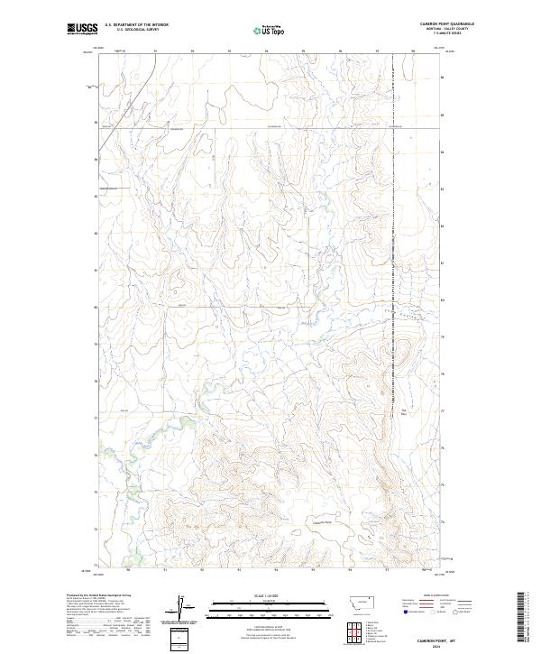
2024 Cameron Point
Valley County, MT
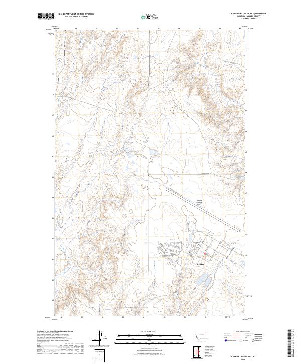
2024 Chapman Coulee NE
Valley County, MT
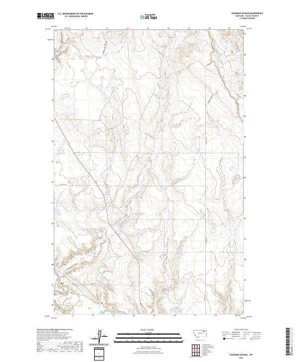
2024 Chapman Coulee
Valley County, MT
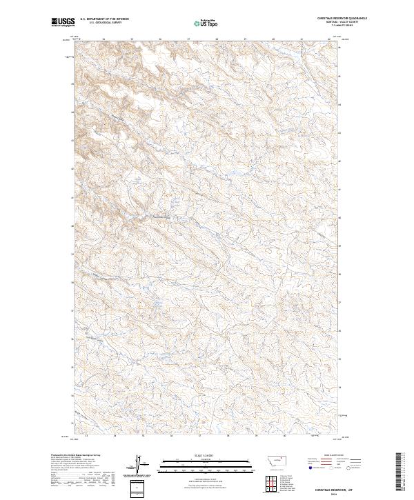
2024 Christmas Reservoir
Valley County, MT
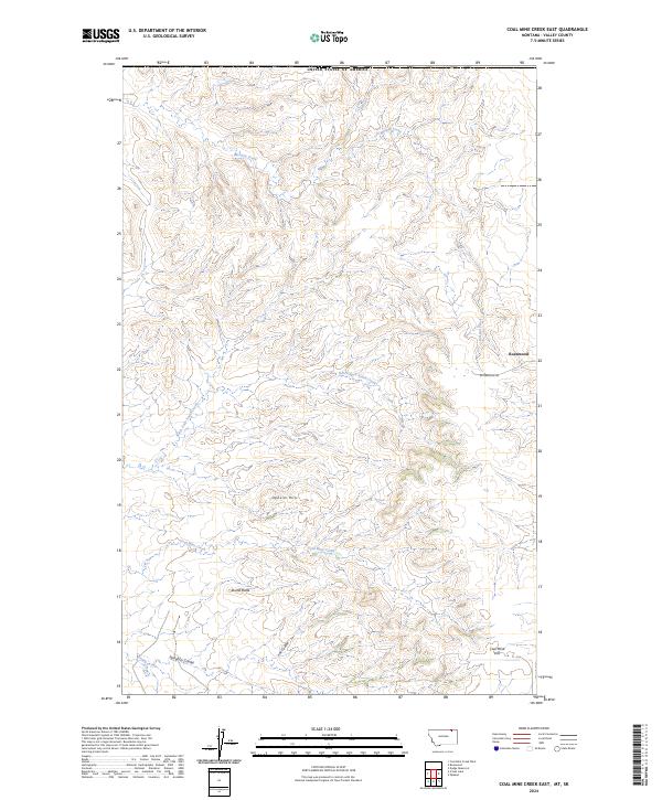
2024 Coal Mine Creek East
Valley County, MT
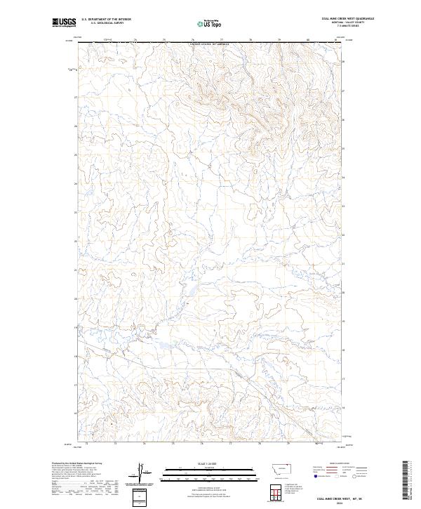
2024 Coal Mine Creek West
Valley County, MT
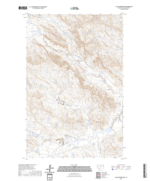
2024 Collins Reservoir
Valley County, MT
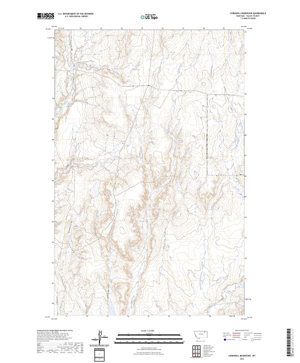
2024 Cornwell Reservoir
Valley County, MT
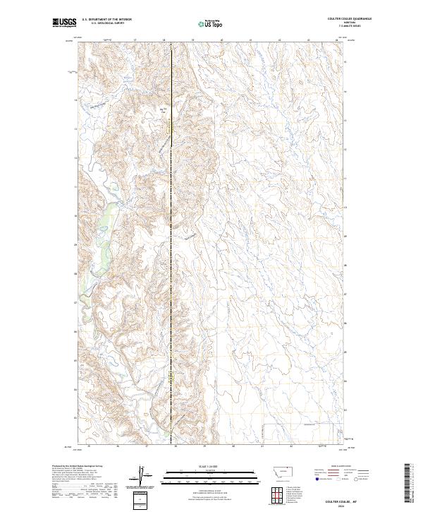
2024 Coulter Coulee
Valley County, MT
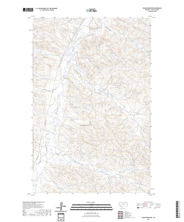
2024 Craig Reservoir
Valley County, MT
2024 Crow Creek Dam
Valley County, MT
2024 Dodge Reservoir
Valley County, MT
2024 Dry Fork Creek
Valley County, MT
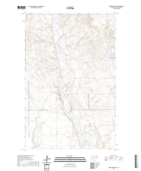
2024 Dubbe Reservoir
Valley County, MT
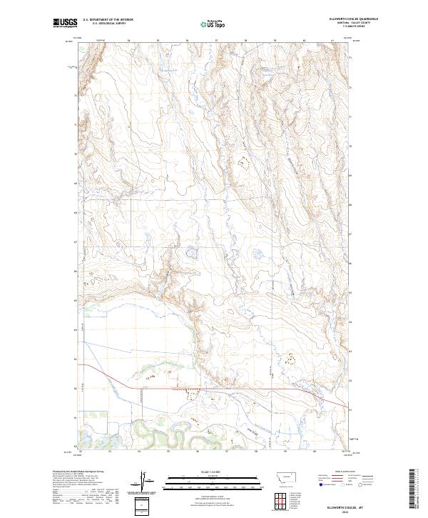
2024 Ellsworth Coulee
Valley County, MT
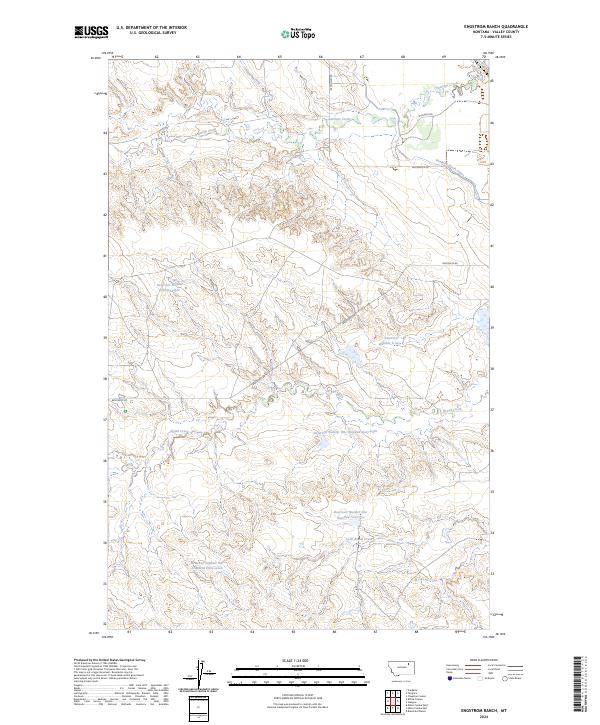
2024 Engstrom Ranch
Valley County, MT
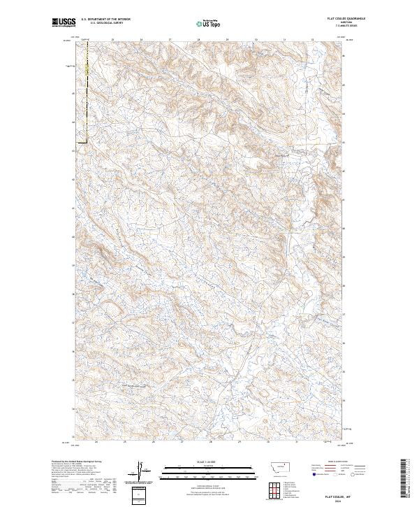
2024 Flat Coulee
Valley County, MT
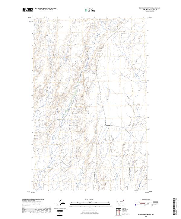
2024 Forsman Reservoir
Valley County, MT
2024 Gay Dam
Valley County, MT
2024 Genevieve
Valley County, MT
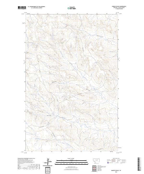
2024 Gibson Coulee
Valley County, MT
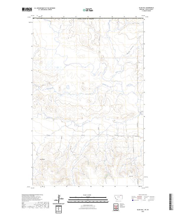
2024 Glass Hill
Valley County, MT
2024 Glentana East
Valley County, MT
2024 Glentana West
Valley County, MT
2024 Hardpan Coulee
Valley County, MT
2024 Harper Camp
Valley County, MT
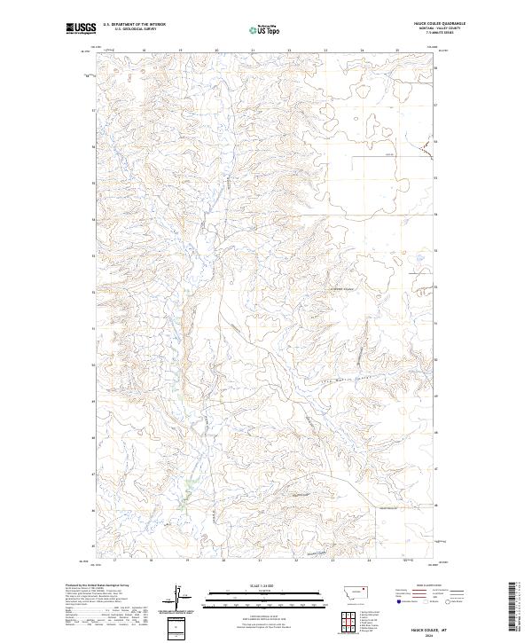
2024 Hauck Coulee
Valley County, MT
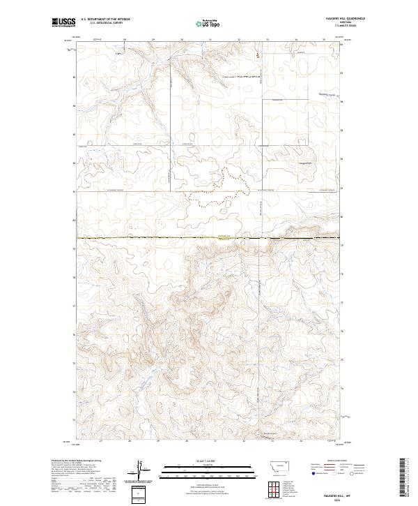
2024 Haugens Hill
Valley County, MT
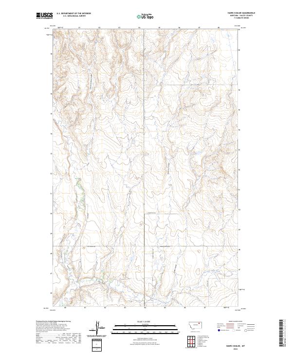
2024 Hawk Coulee
Valley County, MT
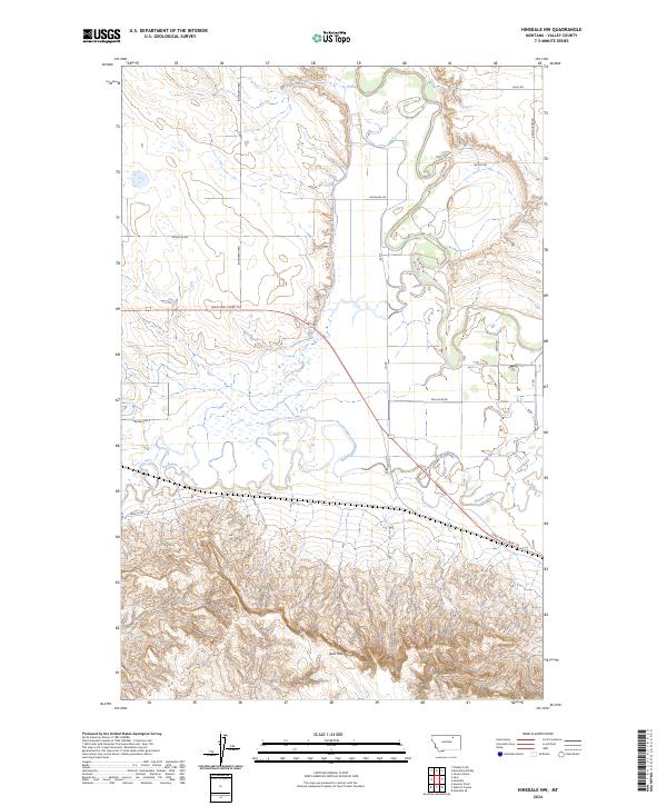
2024 Hinsdale NW
Valley County, MT
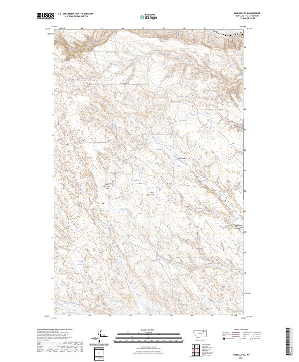
2024 Hinsdale SE
Valley County, MT
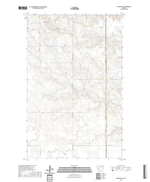
2024 Johnnys Hill
Valley County, MT
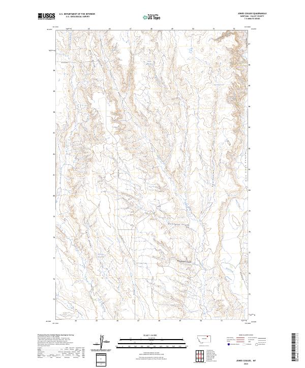
2024 Jones Coulee
Valley County, MT
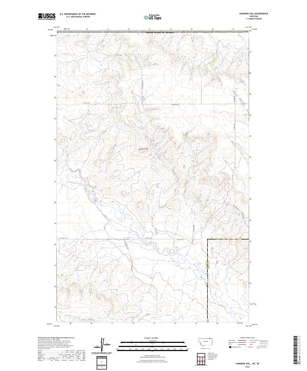
2024 Kaminski Hill
Valley County, MT
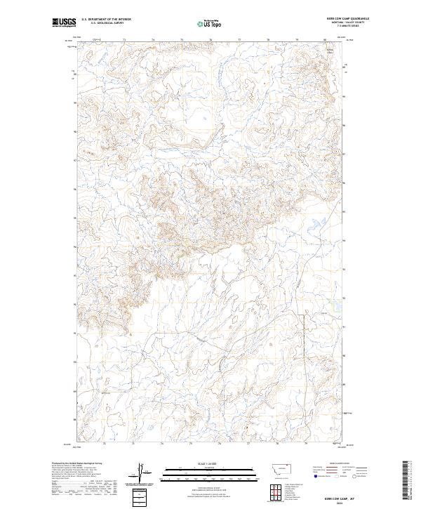
2024 Kerr Cow Camp
Valley County, MT
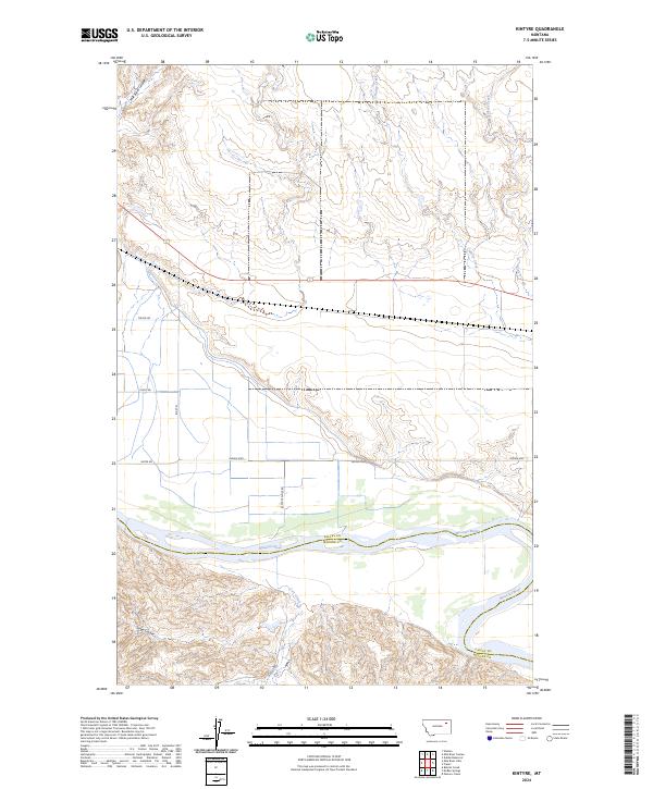
2024 Kintyre
Valley County, MT
2024 Larslan NW
Valley County, MT
2024 Larslan
Valley County, MT
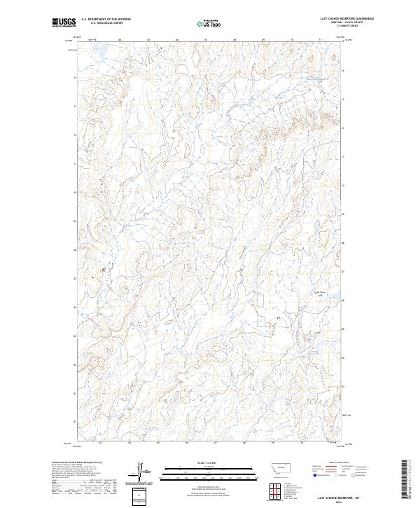
2024 Last Chance Reservoir
Valley County, MT
2024 Laundry Hill
Valley County, MT
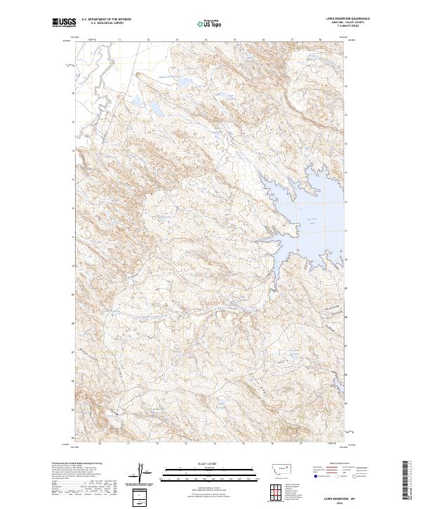
2024 Lewis Reservoir
Valley County, MT
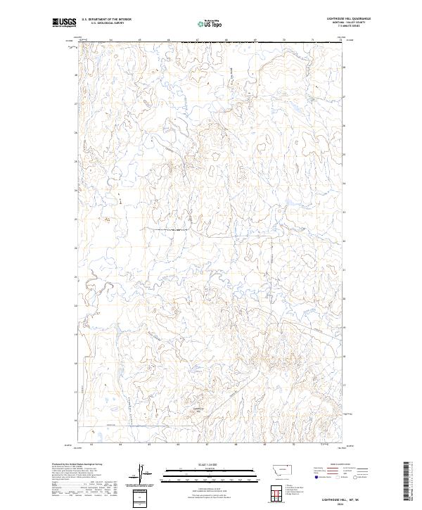
2024 Lighthouse Hill
Valley County, MT
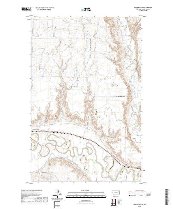
2024 Lindeke Coulee
Valley County, MT
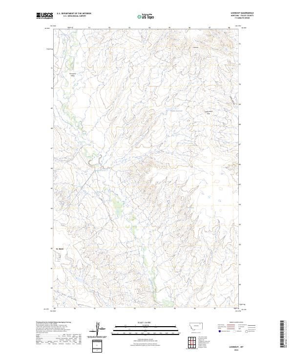
2024 Lookout
Valley County, MT
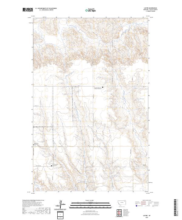
2024 Lustre
Valley County, MT
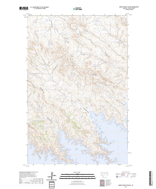
2024 Middle Eighth Coulee
Valley County, MT
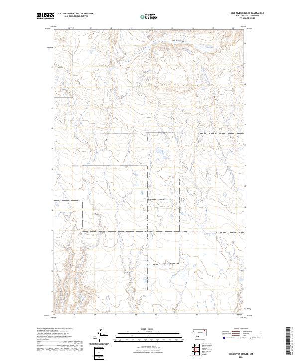
2024 Milk River Coulee
Valley County, MT
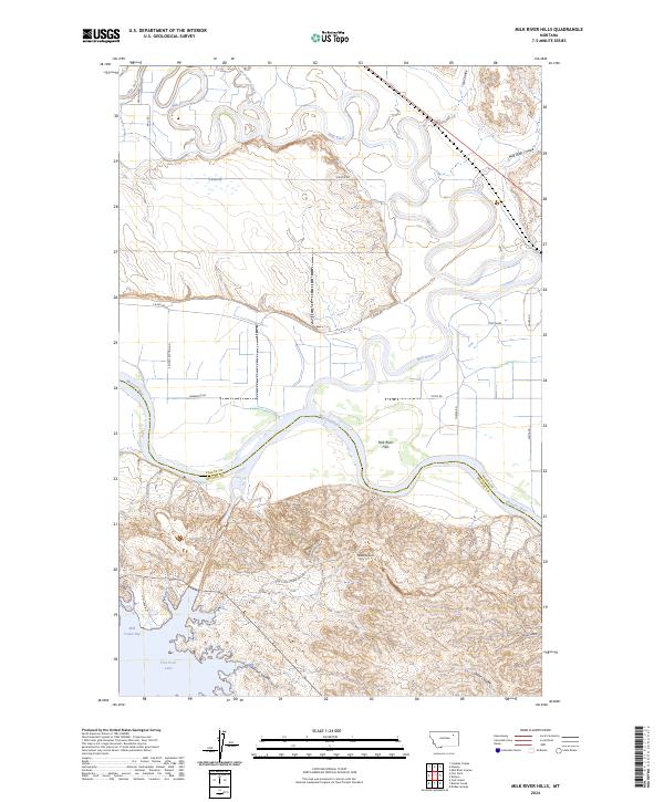
2024 Milk River Hills
Valley County, MT
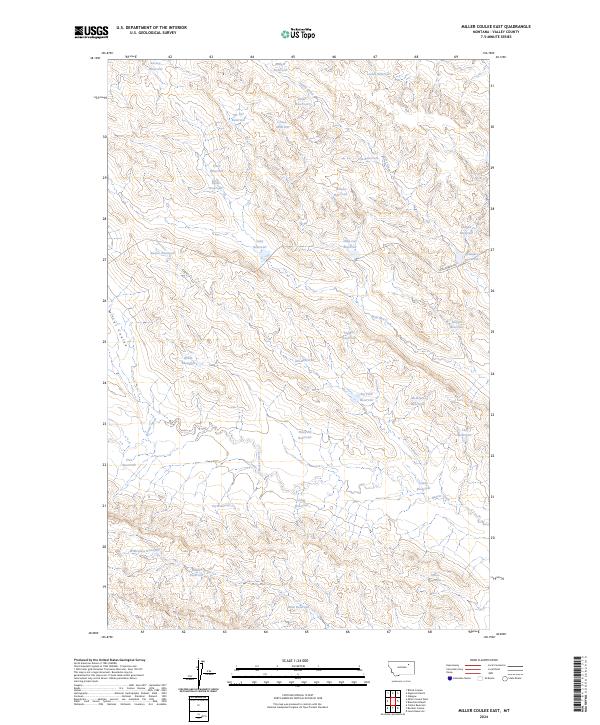
2024 Miller Coulee East
Valley County, MT
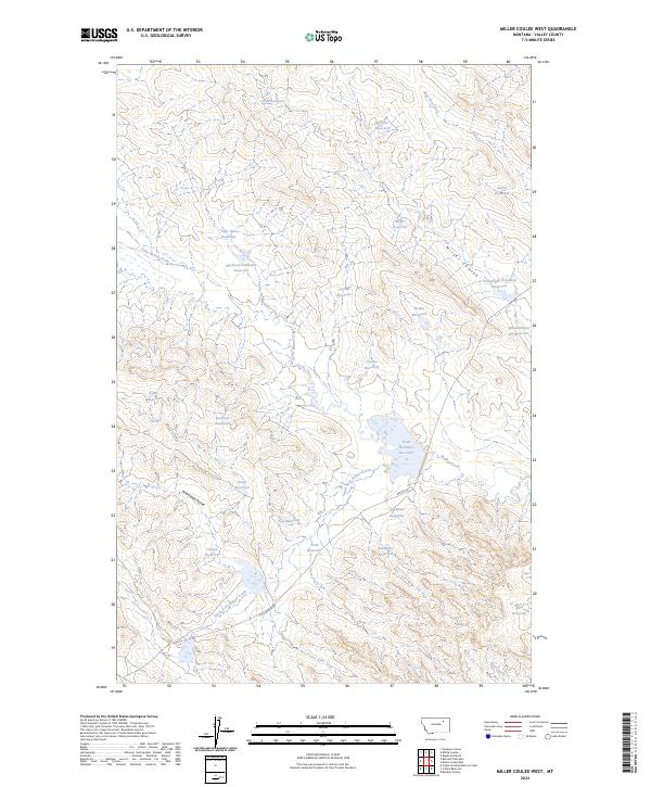
2024 Miller Coulee West
Valley County, MT
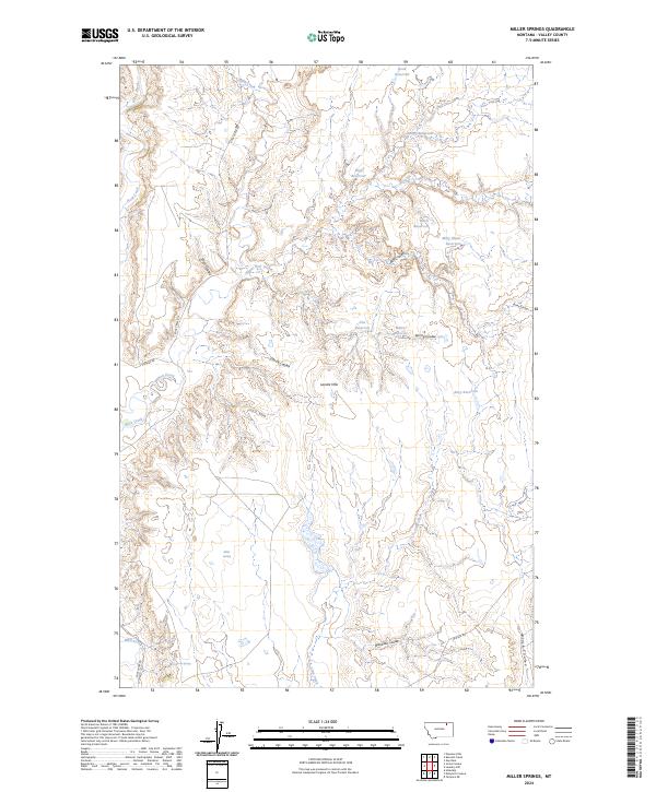
2024 Miller Springs
Valley County, MT
2024 Murray Hill
Valley County, MT
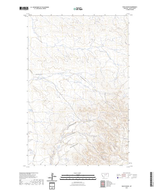
2024 Niles Coulee
Valley County, MT
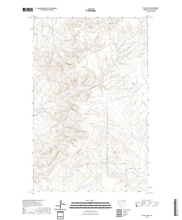
2024 O'Juel Lake
Valley County, MT

2024 Oswego NW
Valley County, MT
2024 Oswego
Valley County, MT
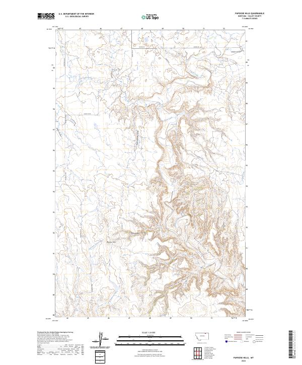
2024 Papoose Hills
Valley County, MT
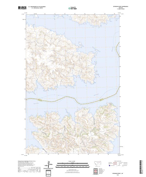
2024 Peterson Point
Valley County, MT
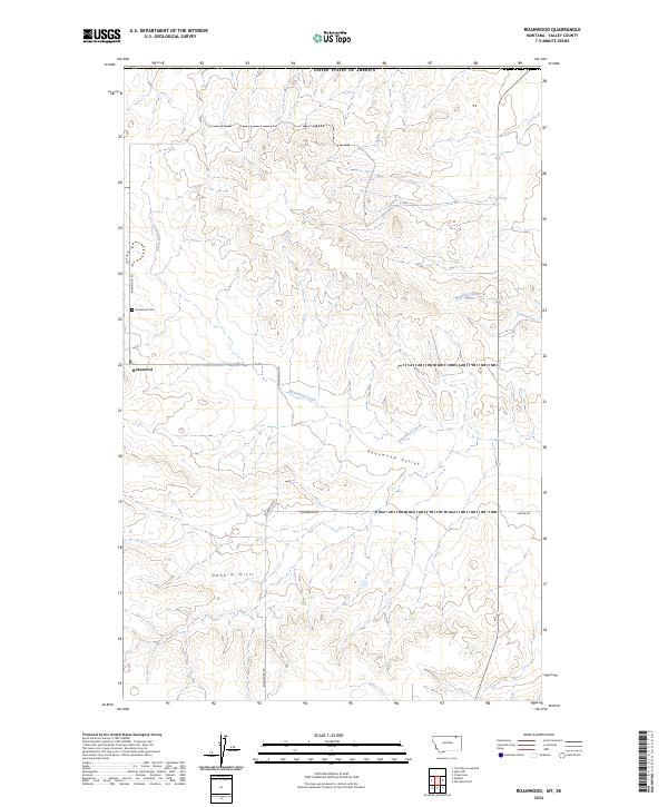
2024 Roanwood
Valley County, MT
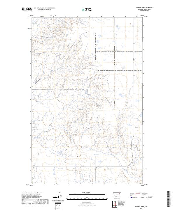
2024 Sargent Creek
Valley County, MT
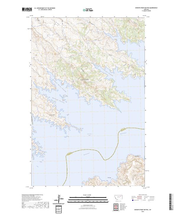
2024 Seventh Point Buttes
Valley County, MT
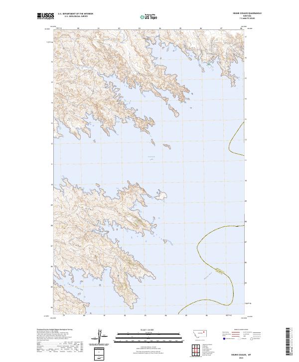
2024 Skunk Coulee
Valley County, MT
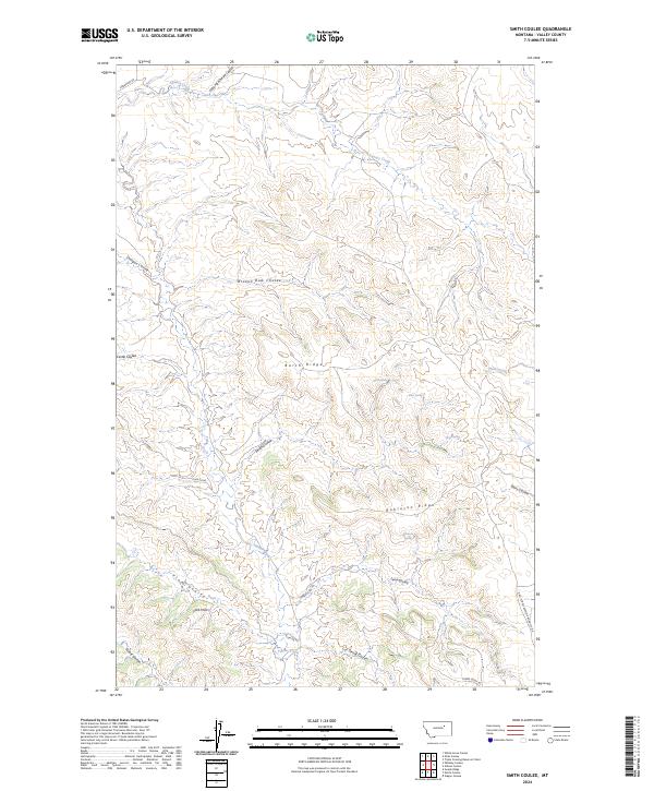
2024 Smith Coulee
Valley County, MT
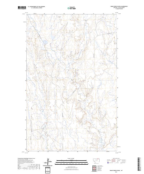
2024 Snake Creek School
Valley County, MT
2024 Spring Creek SW
Valley County, MT
2024 Spring Valley East
Valley County, MT
2024 Spring Valley West
Valley County, MT
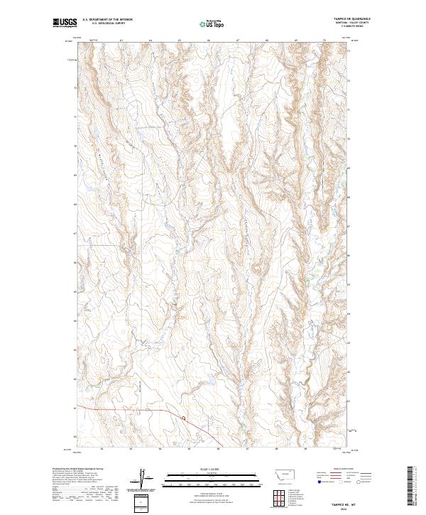
2024 Tampico NE
Valley County, MT
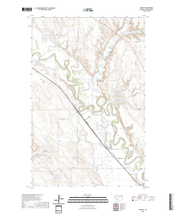
2024 Tampico
Valley County, MT
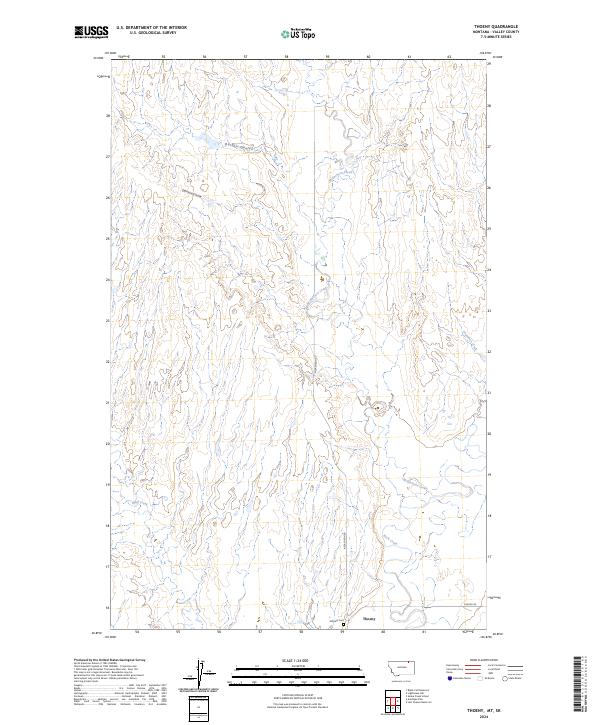
2024 Thoeny
Valley County, MT
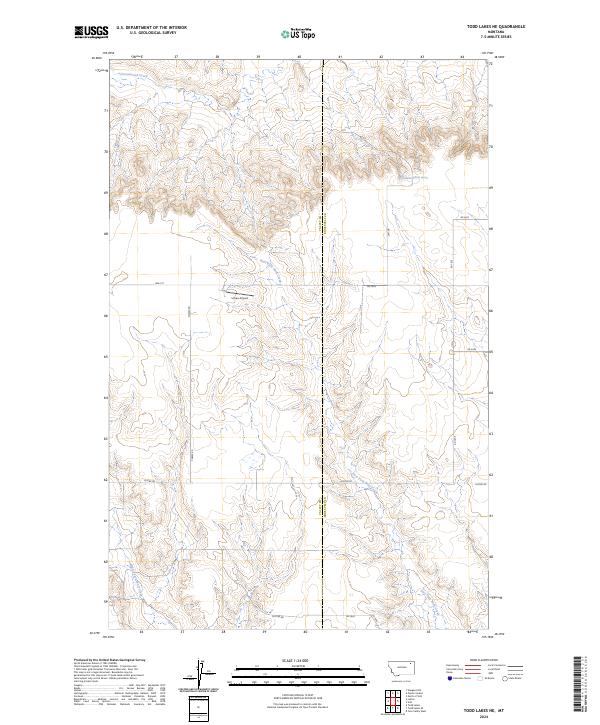
2024 Todd Lakes NE
Valley County, MT
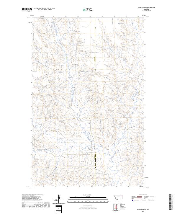
2024 Todd Lakes SE
Valley County, MT
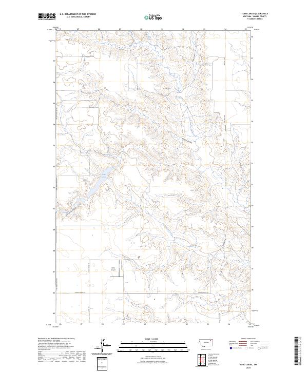
2024 Todd Lakes
Valley County, MT
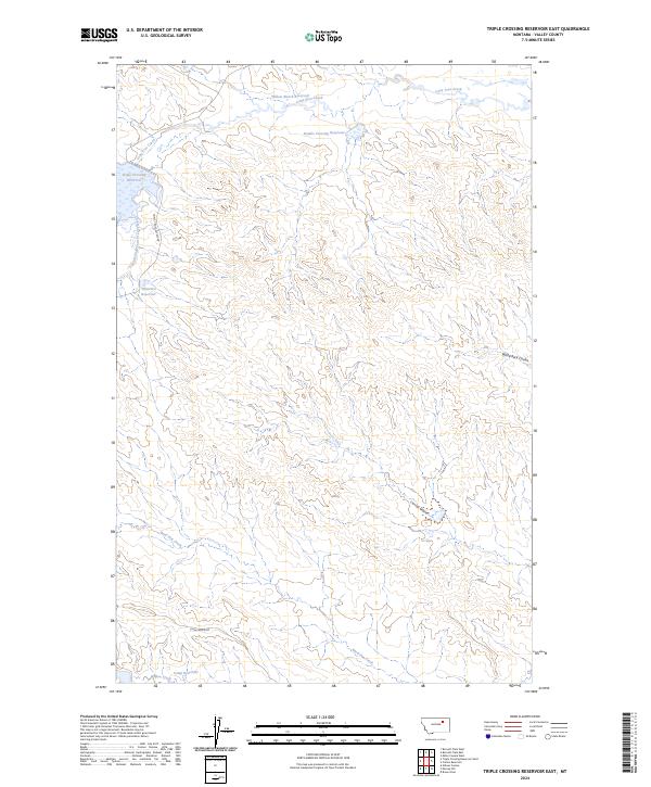
2024 Triple Crossing Reservoir East
Valley County, MT
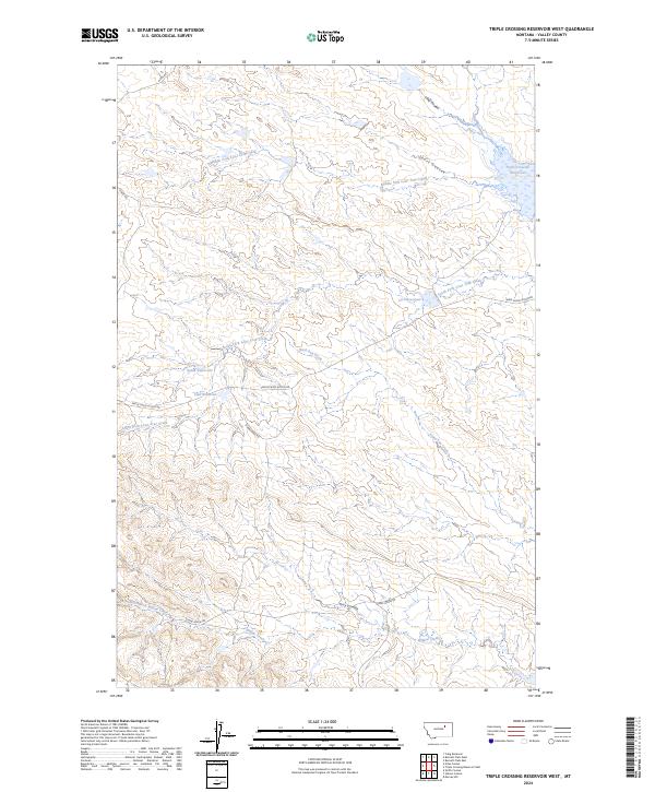
2024 Triple Crossing Reservoir West
Valley County, MT
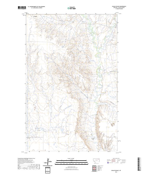
2024 Uhlan Coulee
Valley County, MT
2024 Vandalia
Valley County, MT
2024 Wagon Coulee
Valley County, MT
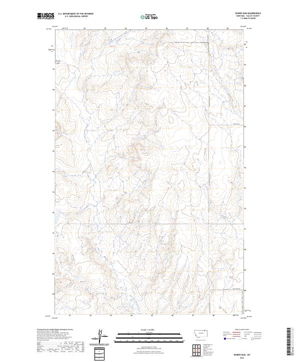
2024 Wards Dam
Valley County, MT
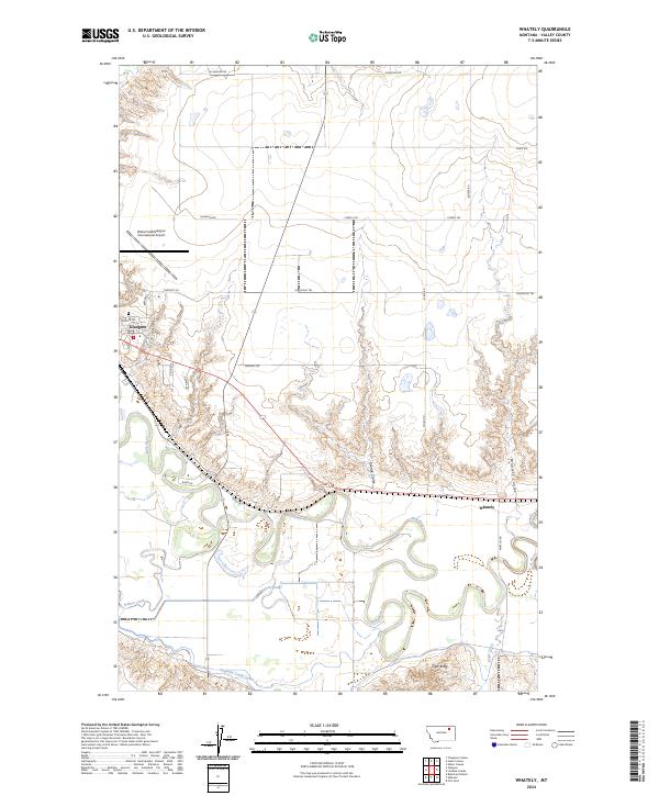
2024 Whately
Valley County, MT
2024 Wheeler
Valley County, MT
2024 Wolfe Coulee
Valley County, MT