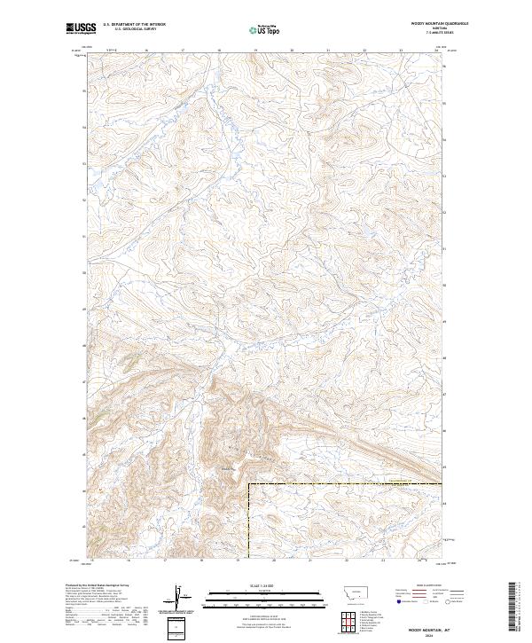
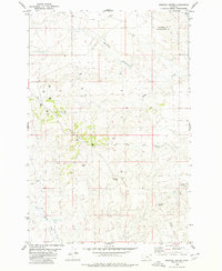
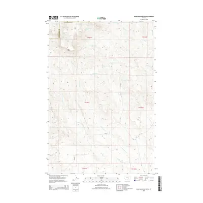
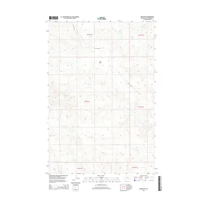
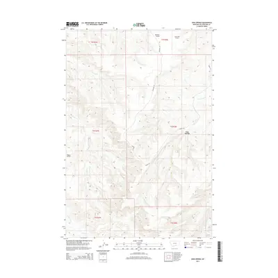
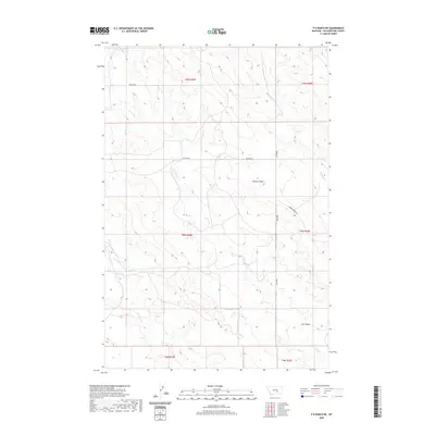
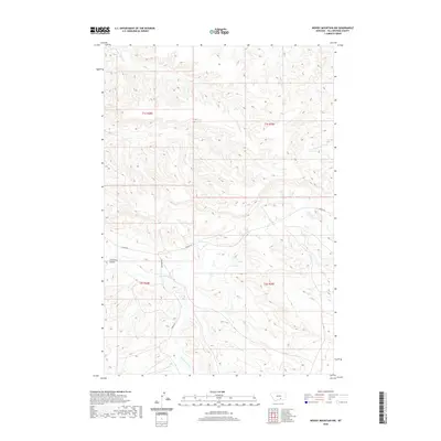
2024 Map of Woody Mountain
USGS Topo · Published 2024About this map
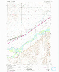
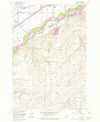
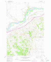
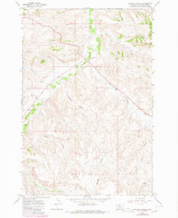
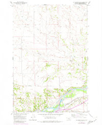
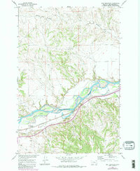
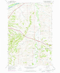
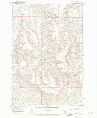
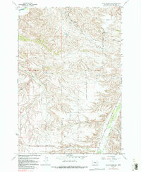
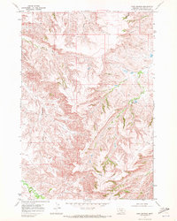
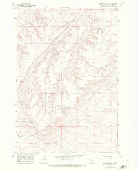
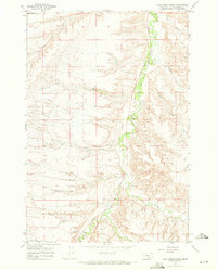
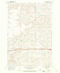
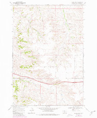
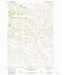
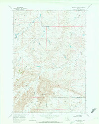
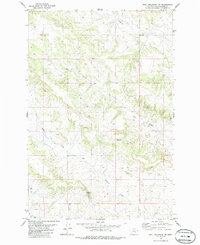
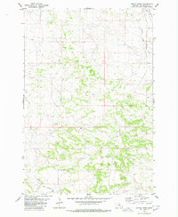
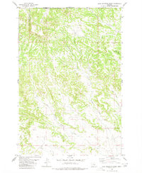
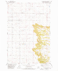
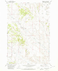
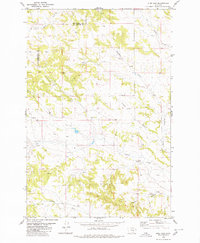
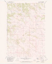
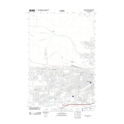
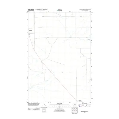
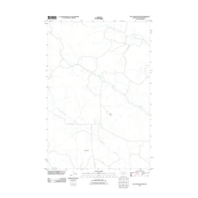
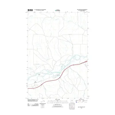
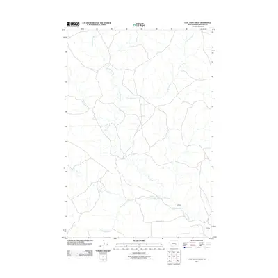
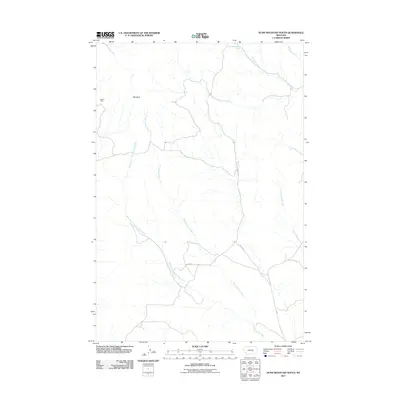
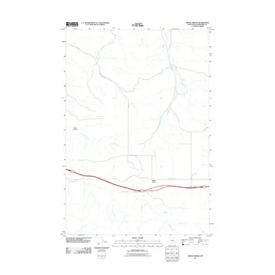
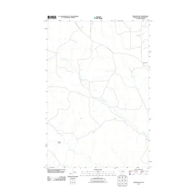
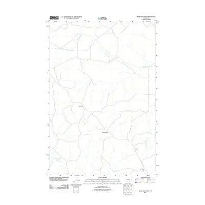
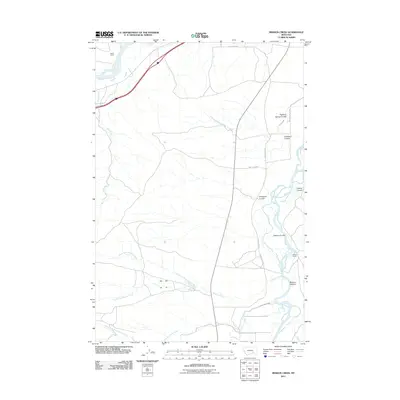
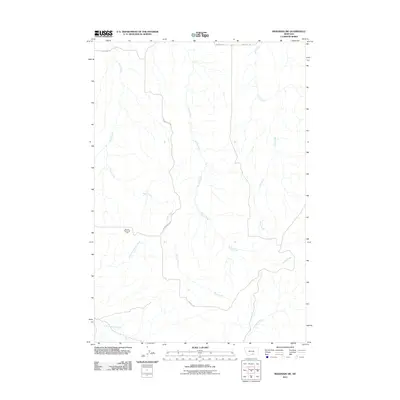
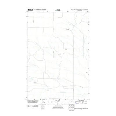
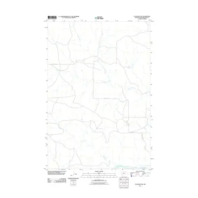
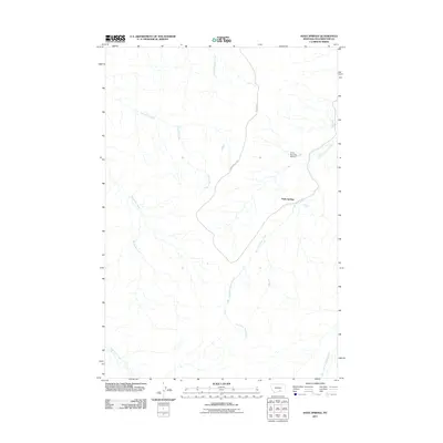
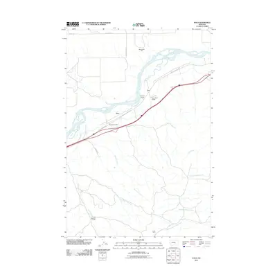
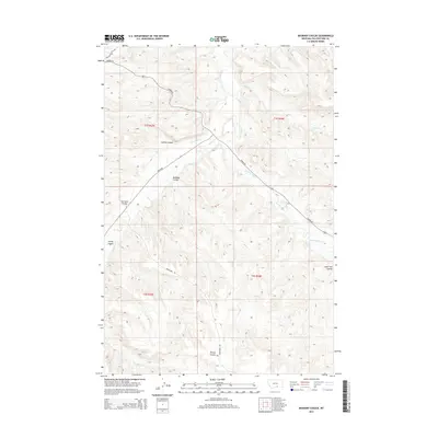
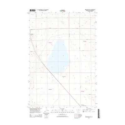
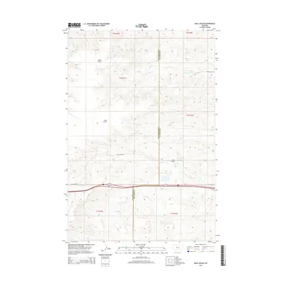
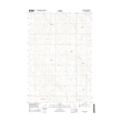
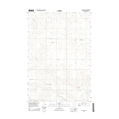
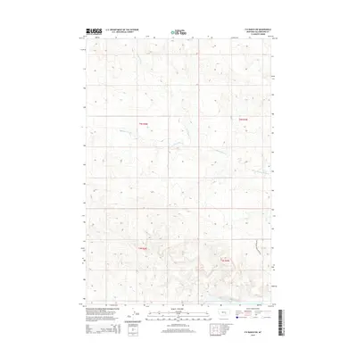
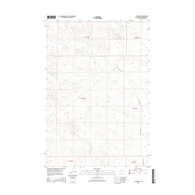
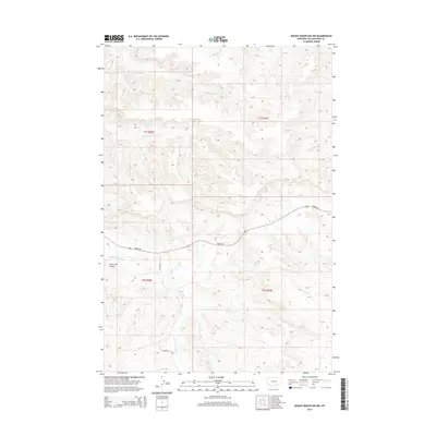
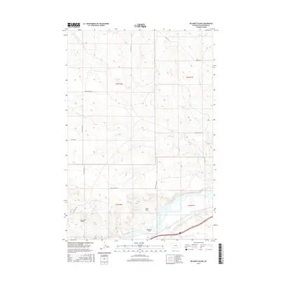
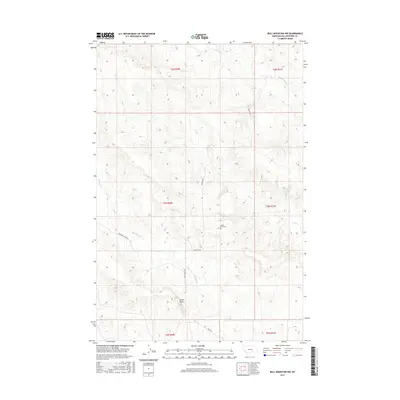
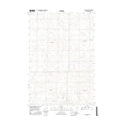
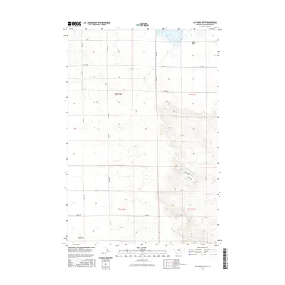
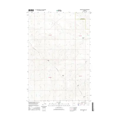
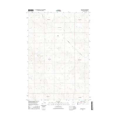
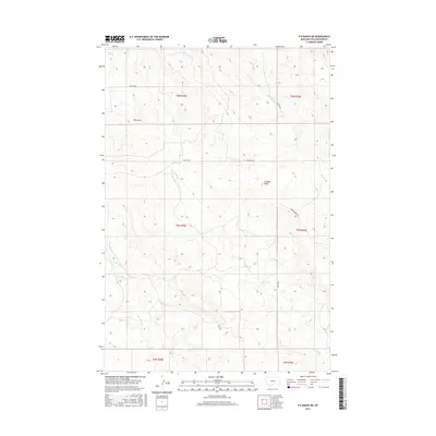
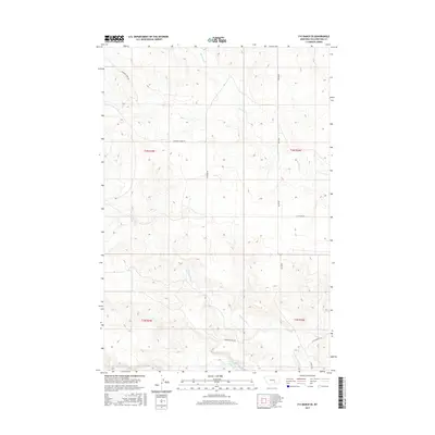
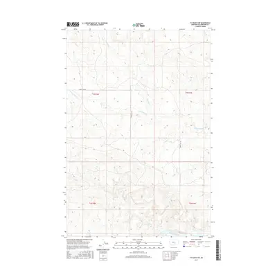
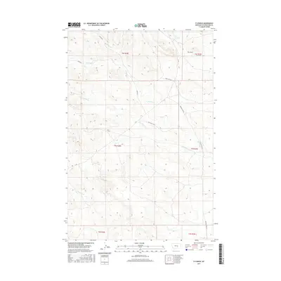
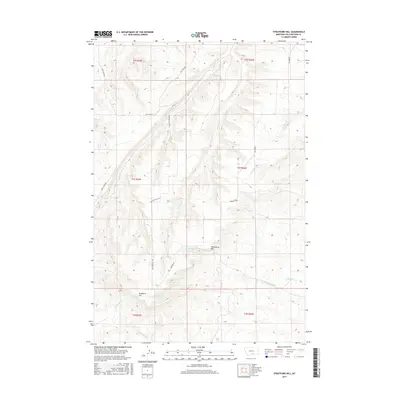
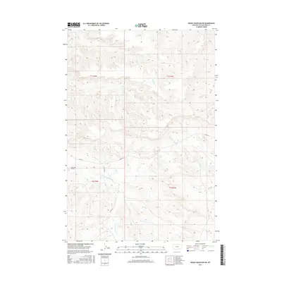
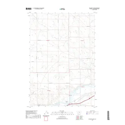
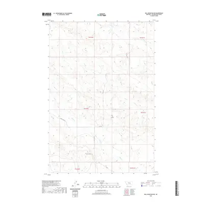
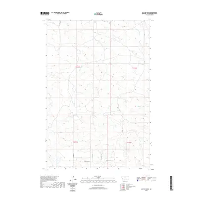
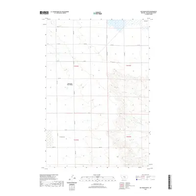
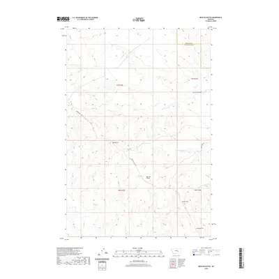
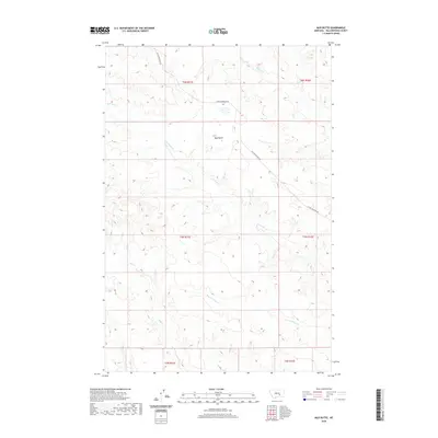
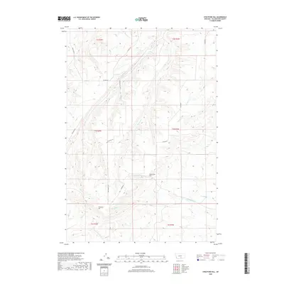
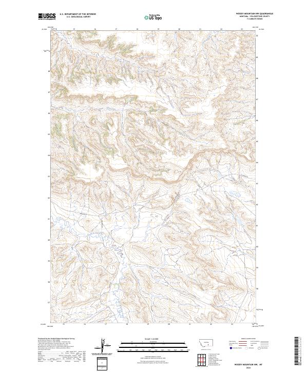
Wild Horse Ridge and Woody Mtn define this landscape in the high plains of the Yellowstone and Big Horn county border. The area is characterized by a complex drainage system where Big Woody Creek and its tributary, West Fork Big Woody Creek, carve through the terrain south of the ridge. Further north, the land slopes toward Fly Creek and Flat Creek, while Barnes Rd provides the primary overland access through the northern sections. This 2024 survey documents the modern boundaries between Yellowstone Co and Big Horn Co, illustrating the persistence of historical township and range lines across this sparsely populated section of Montana. The map serves as a detailed record of the watersheds that feed the larger river systems of the region, including the headwaters of the East Fork Pryor Creek.
Find a feature on this map
16 named features on this map. Tap any name to fly to it.
Don’t see what you’re looking for? This feature index may not catch every label — zoom into the map to look around manually.
Map Details
Editions of this 2024 Woody Mountain Map
This is the sole edition of this map. No revisions or reprints were ever made.
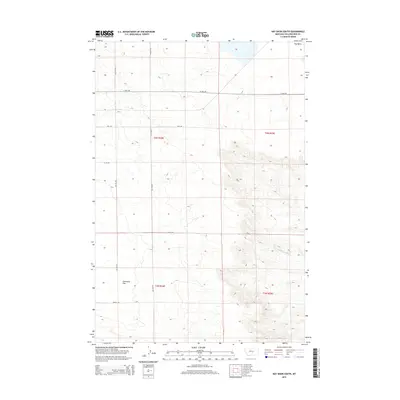
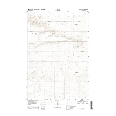
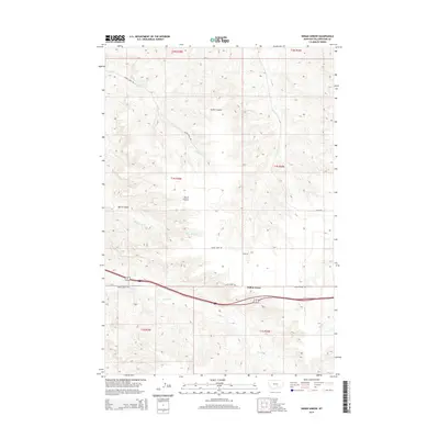
Historical Maps of Yellowstone County Through Time
242 maps found
1956 Billings East
Yellowstone County, MT
1956 Comanche
Yellowstone County, MT
1956 Hickson Ranch
Yellowstone County, MT
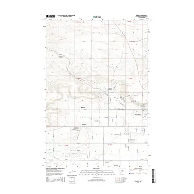
1956 Mossmain
Yellowstone County, MT
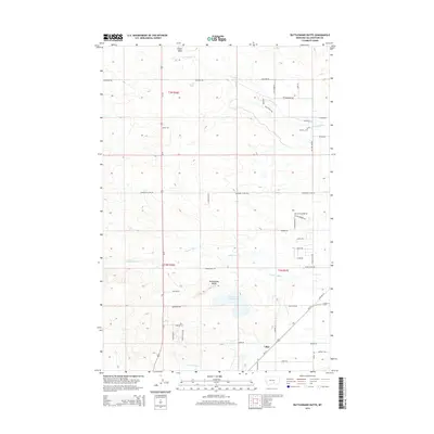
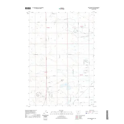
1956 Rattlesnake Butte
Yellowstone County, MT
1956 Rimrock
Yellowstone County, MT
1956 Two Pine School
Yellowstone County, MT
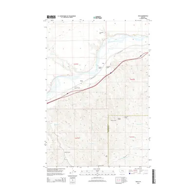
1956 Yegen
Yellowstone County, MT
1957 Billings West
Yellowstone County, MT
1960 Coal Bank Creek
Yellowstone County, MT
1960 Mission Creek
Yellowstone County, MT
1960 Waco
Yellowstone County, MT
1967 Badbaby Coulee
Yellowstone County, MT
1967 Big Marys Island
Yellowstone County, MT
1967 Bull Mountain
Yellowstone County, MT
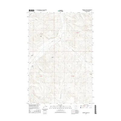
1967 Cottonwood Creek
Yellowstone County, MT
1967 Mossmain SW
Yellowstone County, MT
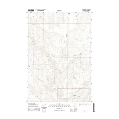
1967 Soda Springs NW
Yellowstone County, MT
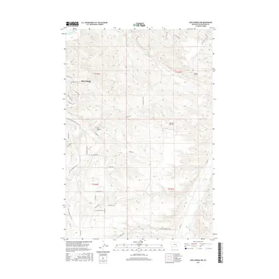
1967 Soda Springs
Yellowstone County, MT
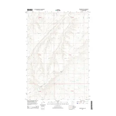
1967 Stratford Hill
Yellowstone County, MT
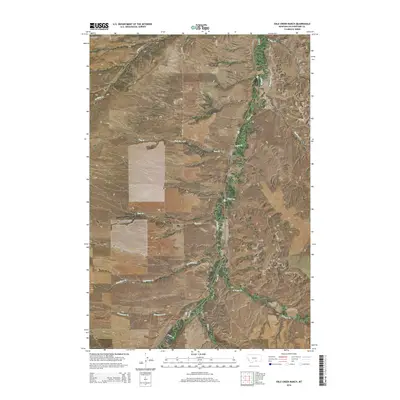
1967 Vale Creek Ranch
Yellowstone County, MT
1969 Gails Coulee
Yellowstone County, MT
1969 Indian Arrow
Yellowstone County, MT
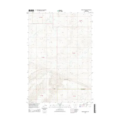
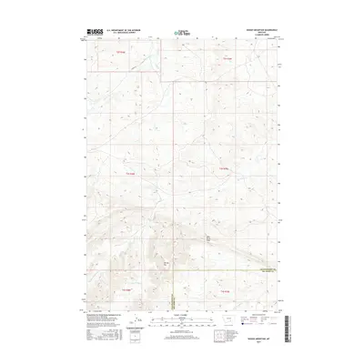
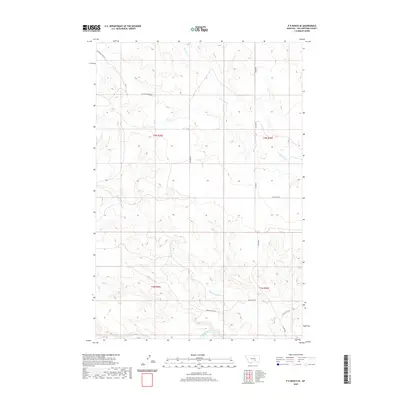
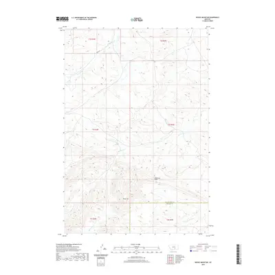
1969 Woody Mountain NW
Yellowstone County, MT
1969 Woody Mountain
Yellowstone County, MT
1979 Broadview East
Yellowstone County, MT
1980 Bull Mountain NW
Yellowstone County, MT
1980 Cotton Creek
Yellowstone County, MT
1980 Dunn Mountain South
Yellowstone County, MT
1980 Hay Basin South
Yellowstone County, MT
1980 Mailbox Hill
Yellowstone County, MT
1980 Mexican Buttes
Yellowstone County, MT
1980 Mud Butte
Yellowstone County, MT
1980 North Fork Crooked Creek East
Yellowstone County, MT
1980 North Fork Crooked Creek West
Yellowstone County, MT
1980 Pine View
Yellowstone County, MT
1980 P K Ranch NE
Yellowstone County, MT
1980 P K Ranch SE
Yellowstone County, MT
1980 P K Ranch SW
Yellowstone County, MT
1980 P K Ranch
Yellowstone County, MT
2011 Badbaby Coulee
Yellowstone County, MT
2011 Big Marys Island
Yellowstone County, MT
2011 Billings East
Yellowstone County, MT
2011 Billings West
Yellowstone County, MT
2011 Broadview East
Yellowstone County, MT
2011 Bull Mountain NW
Yellowstone County, MT
2011 Bull Mountain
Yellowstone County, MT
2011 Coal Bank Creek
Yellowstone County, MT
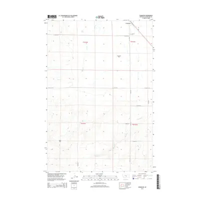
2011 Comanche
Yellowstone County, MT
2011 Cotton Creek
Yellowstone County, MT
2011 Cottonwood Creek
Yellowstone County, MT
2011 Dunn Mountain South
Yellowstone County, MT
2011 Gails Coulee
Yellowstone County, MT
2011 Hay Basin South
Yellowstone County, MT
2011 Hickson Ranch
Yellowstone County, MT
2011 Indian Arrow
Yellowstone County, MT
2011 Mailbox Hill
Yellowstone County, MT
2011 Mexican Buttes
Yellowstone County, MT
2011 Mission Creek
Yellowstone County, MT
2011 Mossmain SW
Yellowstone County, MT
2011 Mossmain
Yellowstone County, MT
2011 Mud Butte
Yellowstone County, MT
2011 North Fork Crooked Creek East
Yellowstone County, MT
2011 North Fork Crooked Creek West
Yellowstone County, MT
2011 Pine View
Yellowstone County, MT
2011 P K Ranch NE
Yellowstone County, MT
2011 P K Ranch SE
Yellowstone County, MT
2011 P K Ranch SW
Yellowstone County, MT
2011 P K Ranch
Yellowstone County, MT
2011 Rattlesnake Butte
Yellowstone County, MT

2011 Rimrock
Yellowstone County, MT
2011 Soda Springs NW
Yellowstone County, MT
2011 Soda Springs
Yellowstone County, MT
2011 Stratford Hill
Yellowstone County, MT
2011 Two Pine School
Yellowstone County, MT
2011 Vale Creek Ranch
Yellowstone County, MT
2011 Waco
Yellowstone County, MT
2011 Woody Mountain NW
Yellowstone County, MT
2011 Woody Mountain
Yellowstone County, MT
2011 Yegen
Yellowstone County, MT
2014 Badbaby Coulee
Yellowstone County, MT
2014 Big Marys Island
Yellowstone County, MT
2014 Billings East
Yellowstone County, MT
2014 Billings West
Yellowstone County, MT
2014 Broadview East
Yellowstone County, MT
2014 Bull Mountain NW
Yellowstone County, MT
2014 Bull Mountain
Yellowstone County, MT
2014 Coal Bank Creek
Yellowstone County, MT
2014 Comanche
Yellowstone County, MT
2014 Cotton Creek
Yellowstone County, MT
2014 Cottonwood Creek
Yellowstone County, MT
2014 Dunn Mountain South
Yellowstone County, MT
2014 Gails Coulee
Yellowstone County, MT
2014 Hay Basin South
Yellowstone County, MT
2014 Hickson Ranch
Yellowstone County, MT
2014 Indian Arrow
Yellowstone County, MT
2014 Mailbox Hill
Yellowstone County, MT
2014 Mexican Buttes
Yellowstone County, MT

2014 Mission Creek
Yellowstone County, MT
2014 Mossmain SW
Yellowstone County, MT
2014 Mossmain
Yellowstone County, MT
2014 Mud Butte
Yellowstone County, MT
2014 North Fork Crooked Creek East
Yellowstone County, MT
2014 North Fork Crooked Creek West
Yellowstone County, MT
2014 Pine View
Yellowstone County, MT
2014 P K Ranch NE
Yellowstone County, MT
2014 P K Ranch SE
Yellowstone County, MT
2014 P K Ranch SW
Yellowstone County, MT
2014 P K Ranch
Yellowstone County, MT
2014 Rattlesnake Butte
Yellowstone County, MT
2014 Rimrock
Yellowstone County, MT
2014 Soda Springs NW
Yellowstone County, MT
2014 Soda Springs
Yellowstone County, MT
2014 Stratford Hill
Yellowstone County, MT
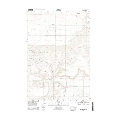
2014 Two Pine School
Yellowstone County, MT
2014 Vale Creek Ranch
Yellowstone County, MT
2014 Waco
Yellowstone County, MT
2014 Woody Mountain NW
Yellowstone County, MT
2014 Woody Mountain
Yellowstone County, MT
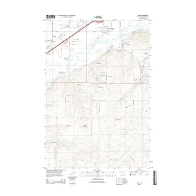
2014 Yegen
Yellowstone County, MT
2017 Badbaby Coulee
Yellowstone County, MT
2017 Big Marys Island
Yellowstone County, MT
2017 Billings East
Yellowstone County, MT
2017 Billings West
Yellowstone County, MT
2017 Broadview East
Yellowstone County, MT
2017 Bull Mountain NW
Yellowstone County, MT
2017 Bull Mountain
Yellowstone County, MT
2017 Coal Bank Creek
Yellowstone County, MT
2017 Comanche
Yellowstone County, MT
2017 Cotton Creek
Yellowstone County, MT
2017 Cottonwood Creek
Yellowstone County, MT
2017 Dunn Mountain South
Yellowstone County, MT
2017 Gails Coulee
Yellowstone County, MT
2017 Hay Basin South
Yellowstone County, MT
2017 Hickson Ranch
Yellowstone County, MT
2017 Indian Arrow
Yellowstone County, MT
2017 Mailbox Hill
Yellowstone County, MT
2017 Mexican Buttes
Yellowstone County, MT
2017 Mission Creek
Yellowstone County, MT
2017 Mossmain SW
Yellowstone County, MT
2017 Mossmain
Yellowstone County, MT
2017 Mud Butte
Yellowstone County, MT
2017 North Fork Crooked Creek East
Yellowstone County, MT
2017 North Fork Crooked Creek West
Yellowstone County, MT
2017 Pine View
Yellowstone County, MT
2017 P K Ranch NE
Yellowstone County, MT
2017 P K Ranch SE
Yellowstone County, MT
2017 P K Ranch SW
Yellowstone County, MT
2017 P K Ranch
Yellowstone County, MT
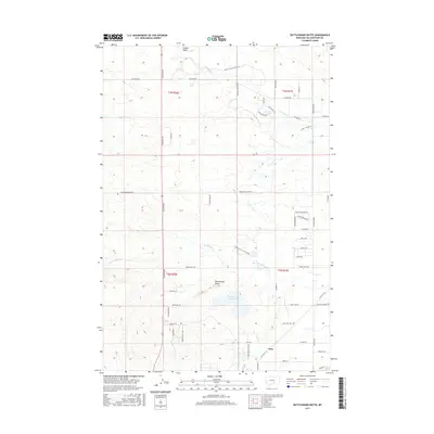
2017 Rattlesnake Butte
Yellowstone County, MT
2017 Rimrock
Yellowstone County, MT
2017 Soda Springs NW
Yellowstone County, MT
2017 Soda Springs
Yellowstone County, MT
2017 Stratford Hill
Yellowstone County, MT
2017 Two Pine School
Yellowstone County, MT
2017 Vale Creek Ranch
Yellowstone County, MT
2017 Waco
Yellowstone County, MT
2017 Woody Mountain NW
Yellowstone County, MT
2017 Woody Mountain
Yellowstone County, MT
2017 Yegen
Yellowstone County, MT
2020 Badbaby Coulee
Yellowstone County, MT
2020 Big Marys Island
Yellowstone County, MT
2020 Billings East
Yellowstone County, MT
2020 Billings West
Yellowstone County, MT
2020 Broadview East
Yellowstone County, MT
2020 Bull Mountain NW
Yellowstone County, MT
2020 Bull Mountain
Yellowstone County, MT
2020 Coal Bank Creek
Yellowstone County, MT
2020 Comanche
Yellowstone County, MT
2020 Cotton Creek
Yellowstone County, MT
2020 Cottonwood Creek
Yellowstone County, MT
2020 Dunn Mountain South
Yellowstone County, MT
2020 Gails Coulee
Yellowstone County, MT
2020 Hay Basin South
Yellowstone County, MT
2020 Hickson Ranch
Yellowstone County, MT
2020 Indian Arrow
Yellowstone County, MT
2020 Mailbox Hill
Yellowstone County, MT
2020 Mexican Buttes
Yellowstone County, MT
2020 Mission Creek
Yellowstone County, MT
2020 Mossmain SW
Yellowstone County, MT
2020 Mossmain
Yellowstone County, MT
2020 Mud Butte
Yellowstone County, MT
2020 North Fork Crooked Creek East
Yellowstone County, MT
2020 North Fork Crooked Creek West
Yellowstone County, MT
2020 Pine View
Yellowstone County, MT
2020 P K Ranch NE
Yellowstone County, MT
2020 P K Ranch SE
Yellowstone County, MT
2020 P K Ranch SW
Yellowstone County, MT
2020 P K Ranch
Yellowstone County, MT
2020 Rattlesnake Butte
Yellowstone County, MT
2020 Rimrock
Yellowstone County, MT
2020 Soda Springs NW
Yellowstone County, MT
2020 Soda Springs
Yellowstone County, MT
2020 Stratford Hill
Yellowstone County, MT
2020 Two Pine School
Yellowstone County, MT
2020 Vale Creek Ranch
Yellowstone County, MT
2020 Waco
Yellowstone County, MT
2020 Woody Mountain NW
Yellowstone County, MT
2020 Woody Mountain
Yellowstone County, MT

2020 Yegen
Yellowstone County, MT
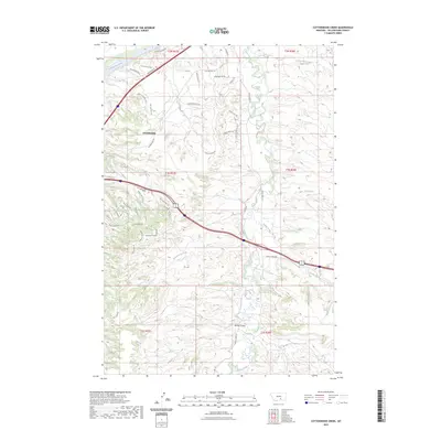
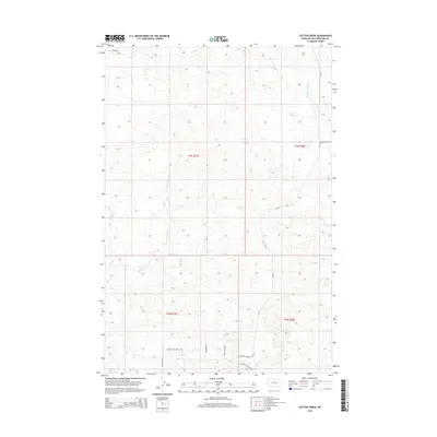
2023 Cottonwood Creek
Yellowstone County, MT
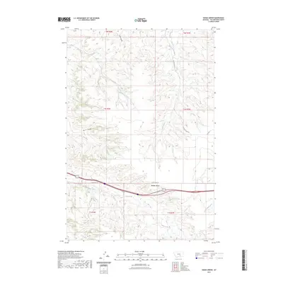
2023 Indian Arrow
Yellowstone County, MT
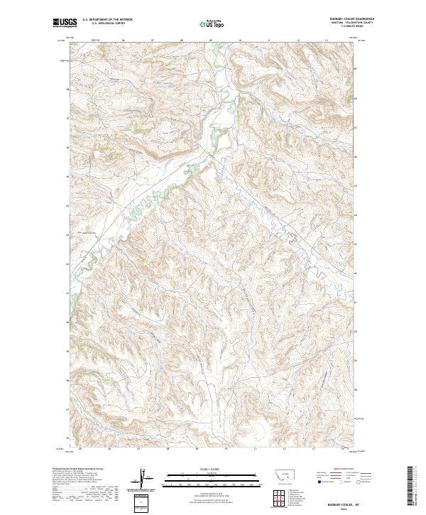
2024 Badbaby Coulee
Yellowstone County, MT
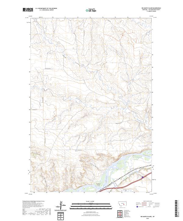
2024 Big Marys Island
Yellowstone County, MT
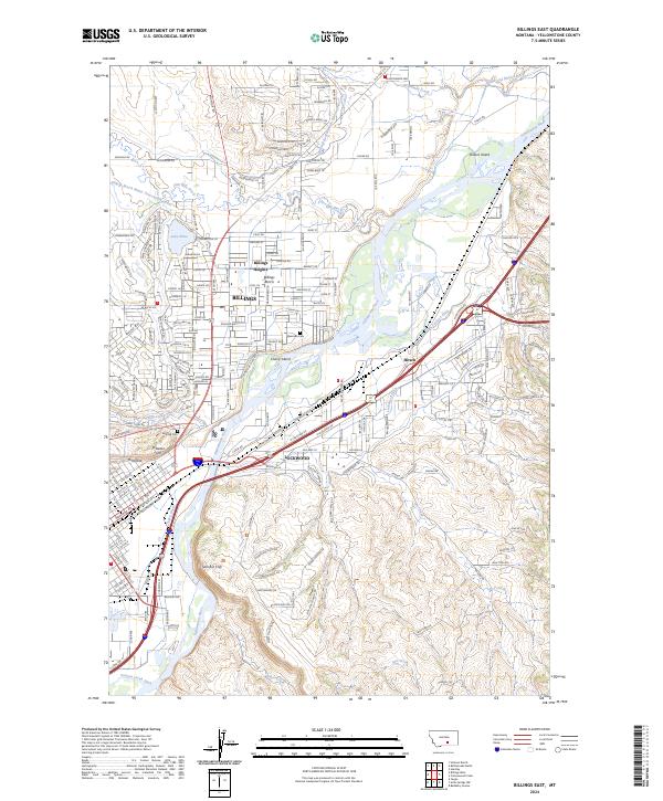
2024 Billings East
Yellowstone County, MT
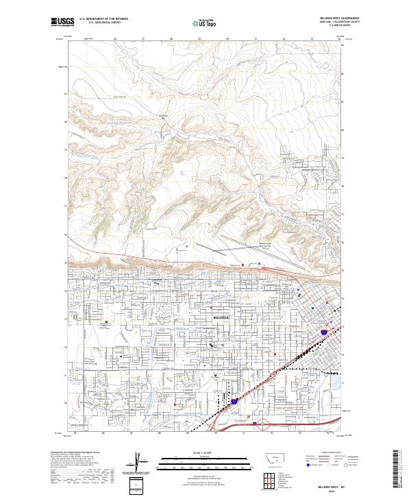
2024 Billings West
Yellowstone County, MT
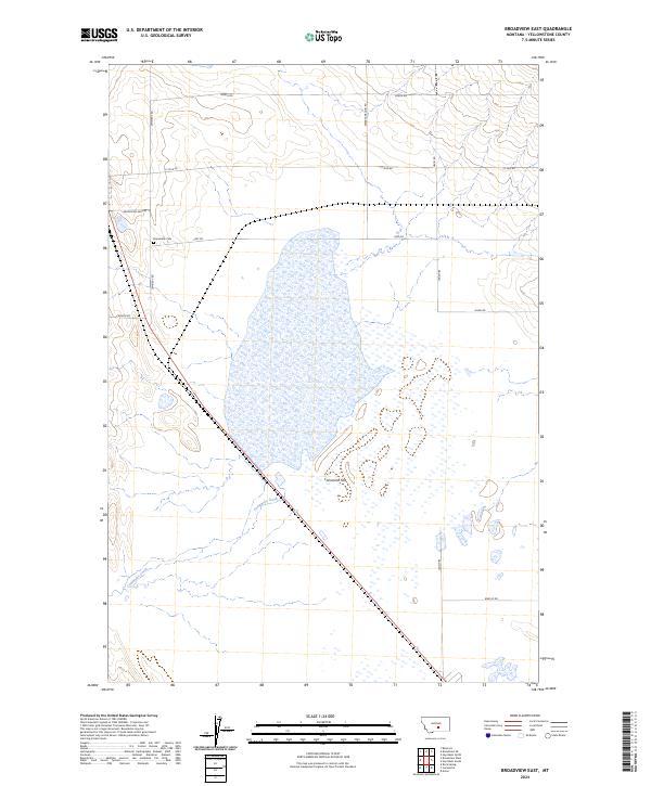
2024 Broadview East
Yellowstone County, MT
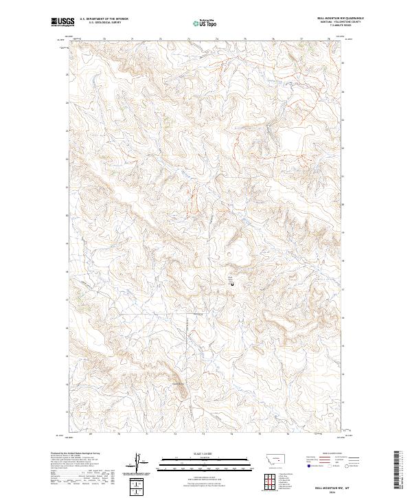
2024 Bull Mountain NW
Yellowstone County, MT
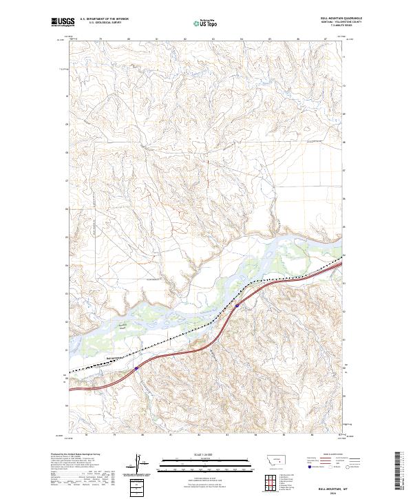
2024 Bull Mountain
Yellowstone County, MT
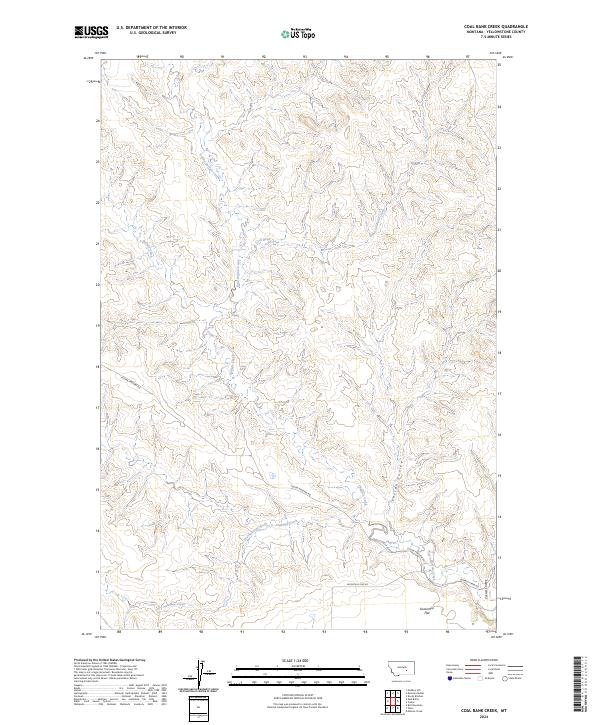
2024 Coal Bank Creek
Yellowstone County, MT
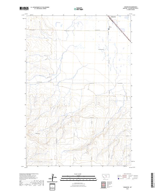
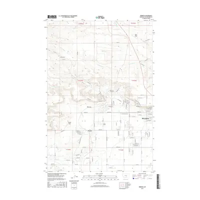
2024 Comanche
Yellowstone County, MT

2024 Cotton Creek
Yellowstone County, MT
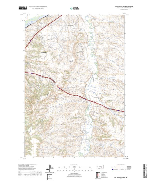
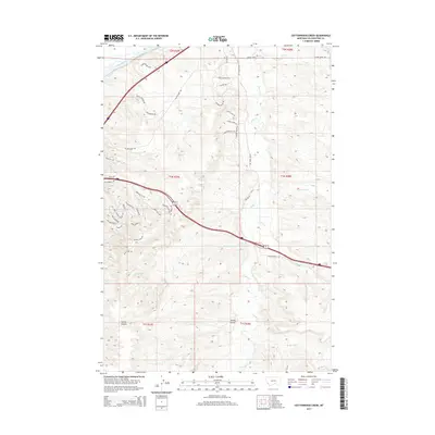
2024 Cottonwood Creek
Yellowstone County, MT
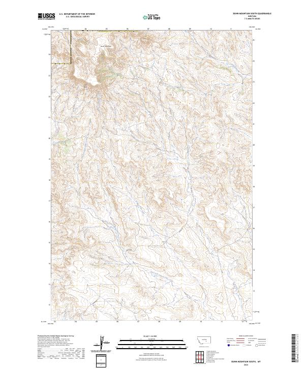
2024 Dunn Mountain South
Yellowstone County, MT
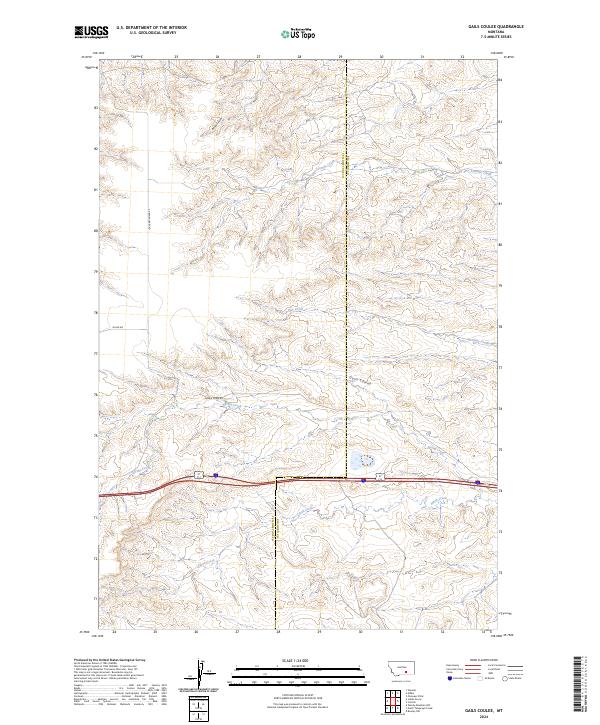
2024 Gails Coulee
Yellowstone County, MT
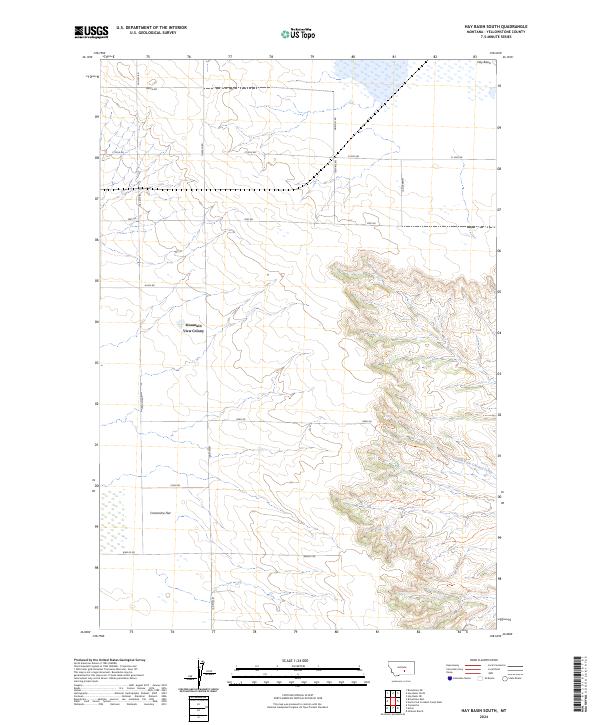
2024 Hay Basin South
Yellowstone County, MT
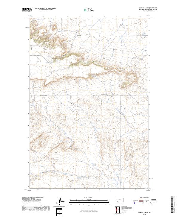
2024 Hickson Ranch
Yellowstone County, MT
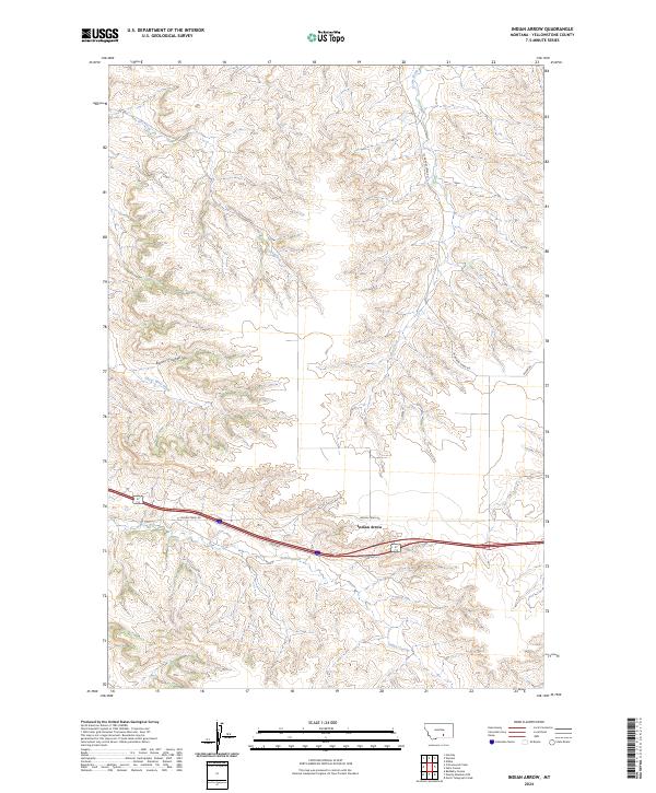
2024 Indian Arrow
Yellowstone County, MT
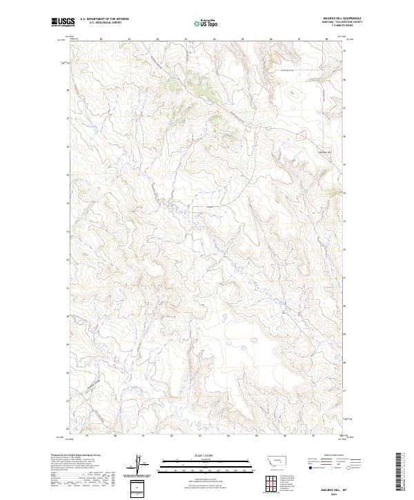
2024 Mailbox Hill
Yellowstone County, MT
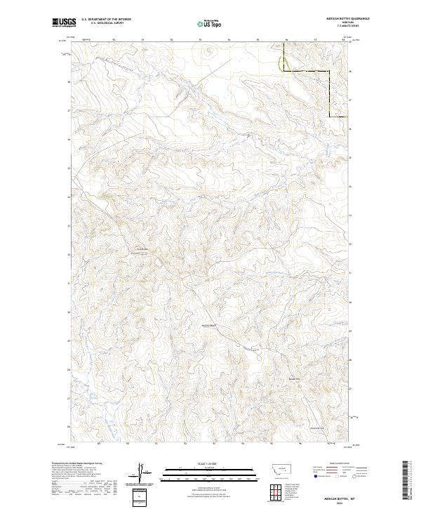
2024 Mexican Buttes
Yellowstone County, MT
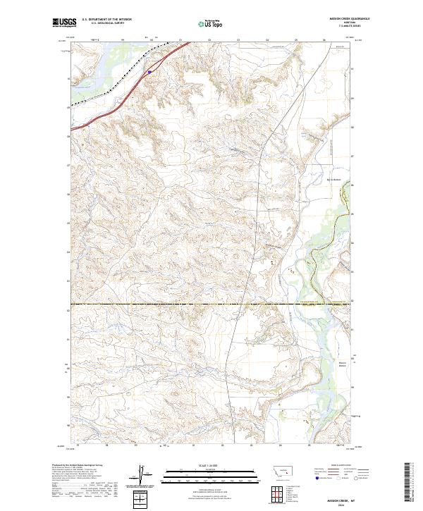
2024 Mission Creek
Yellowstone County, MT
2024 Mossmain SW
Yellowstone County, MT
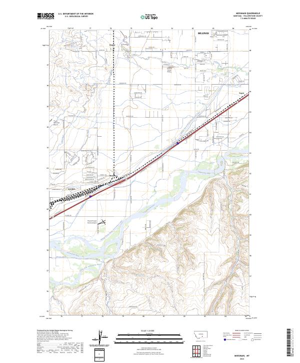
2024 Mossmain
Yellowstone County, MT
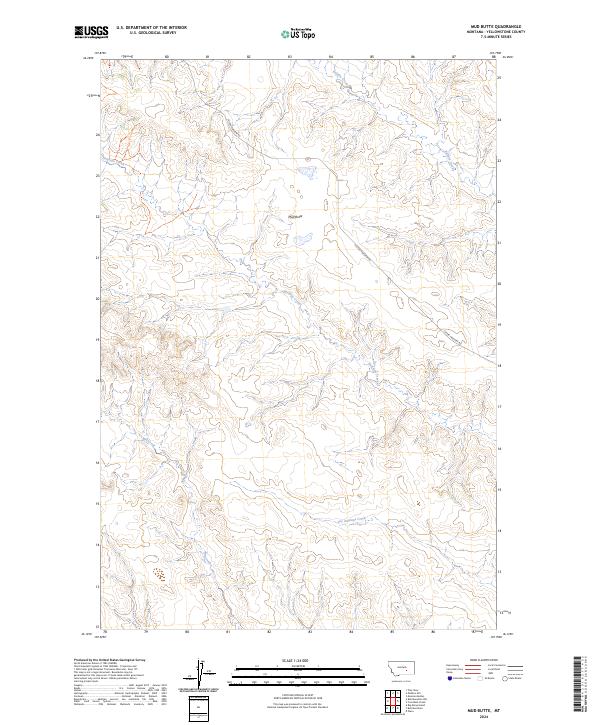
2024 Mud Butte
Yellowstone County, MT
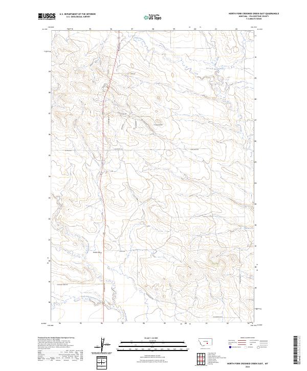
2024 North Fork Crooked Creek East
Yellowstone County, MT
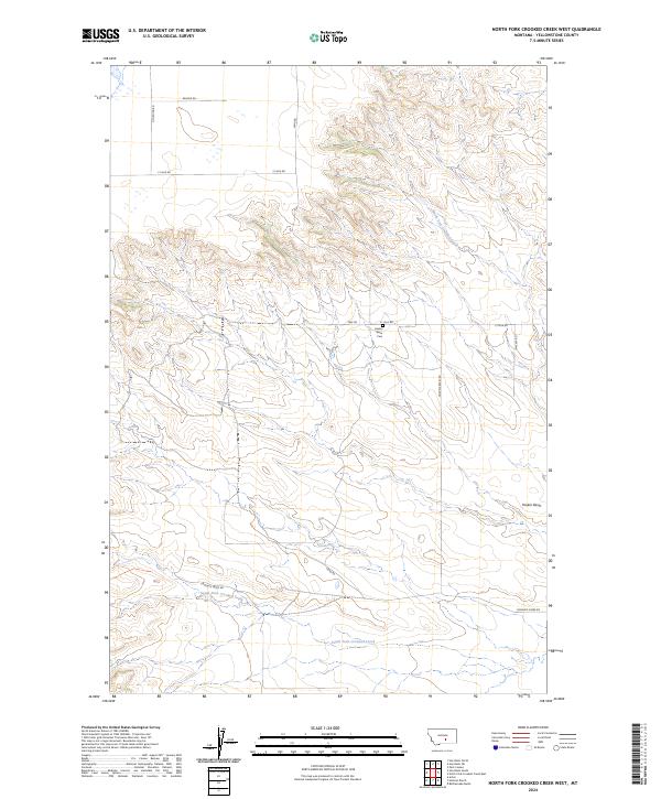
2024 North Fork Crooked Creek West
Yellowstone County, MT
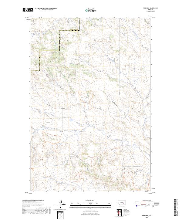
2024 Pine View
Yellowstone County, MT
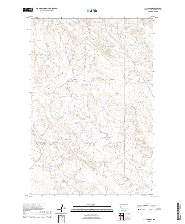
2024 P K Ranch NE
Yellowstone County, MT
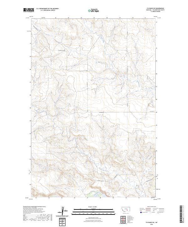
2024 P K Ranch SE
Yellowstone County, MT
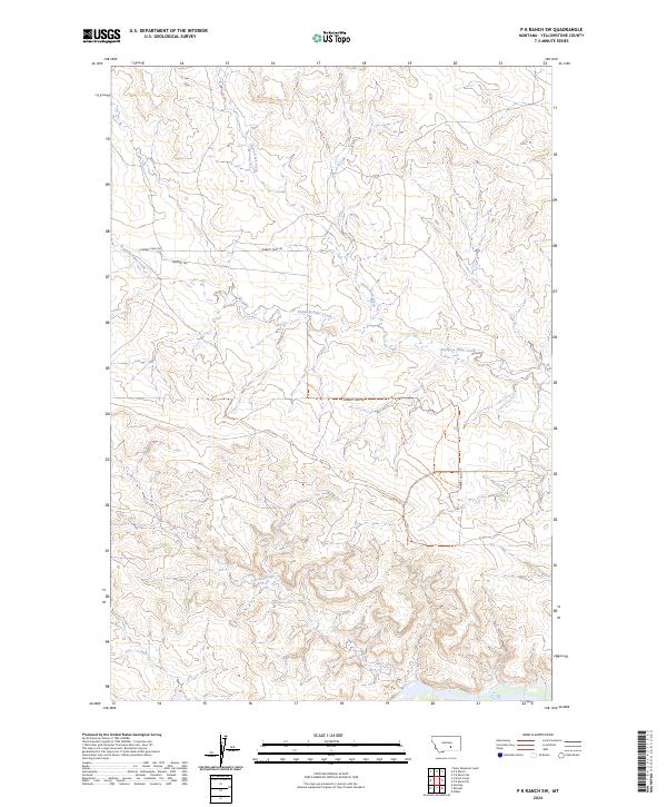
2024 P K Ranch SW
Yellowstone County, MT
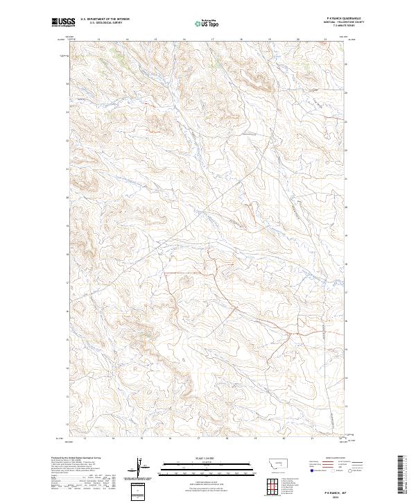
2024 P K Ranch
Yellowstone County, MT
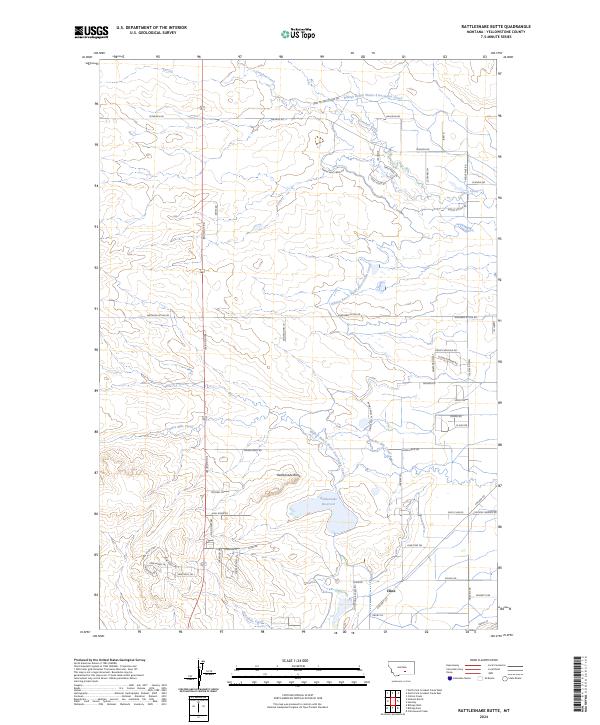
2024 Rattlesnake Butte
Yellowstone County, MT
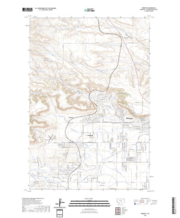
2024 Rimrock
Yellowstone County, MT
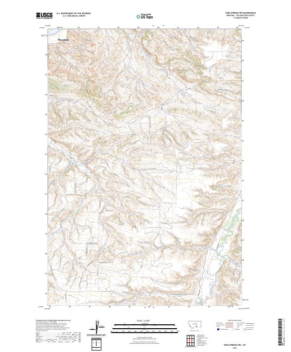
2024 Soda Springs NW
Yellowstone County, MT
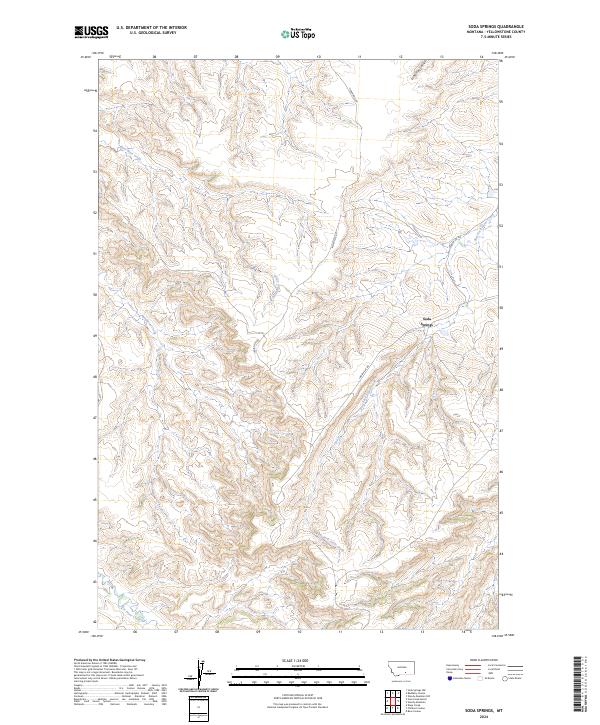
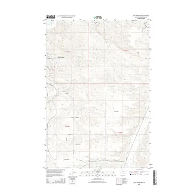
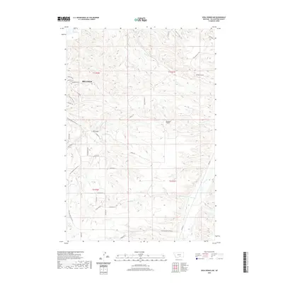
2024 Soda Springs
Yellowstone County, MT
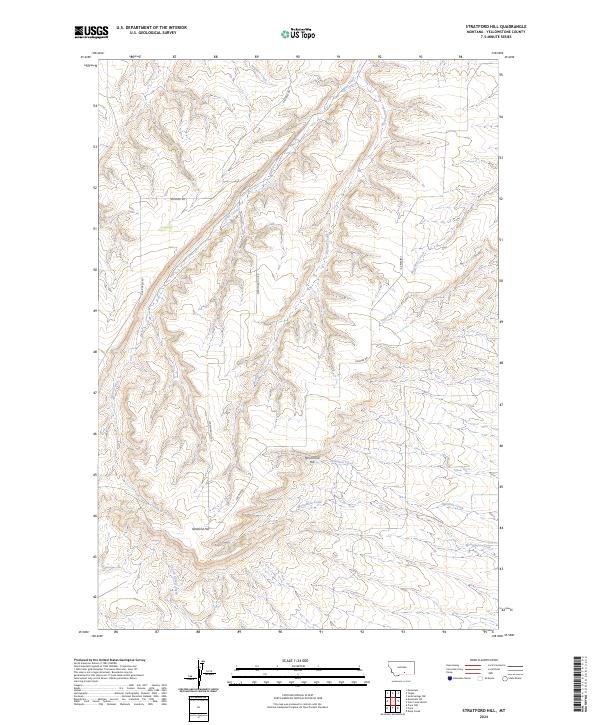
2024 Stratford Hill
Yellowstone County, MT
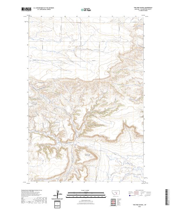
2024 Two Pine School
Yellowstone County, MT
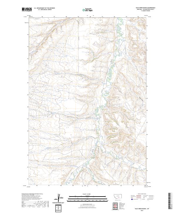
2024 Vale Creek Ranch
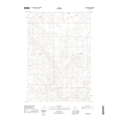
Yellowstone County, MT
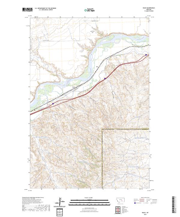
2024 Waco
Yellowstone County, MT
2024 Woody Mountain NW
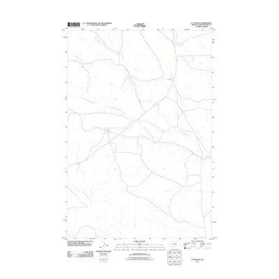
Yellowstone County, MT
2024 Woody Mountain
Yellowstone County, MT
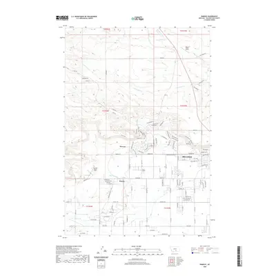
2024 Yegen
Yellowstone County, MT