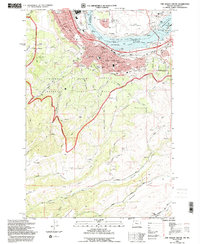
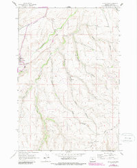
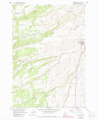
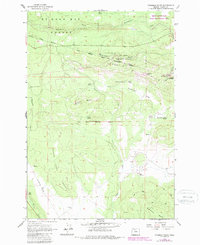
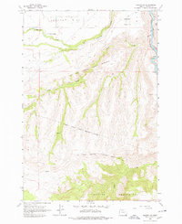
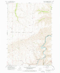
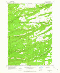
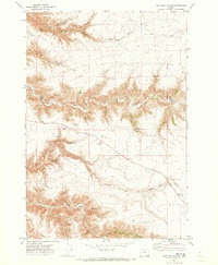
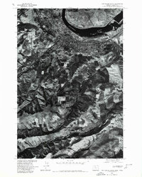
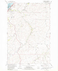
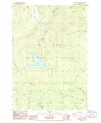
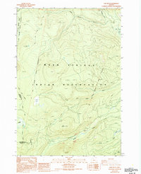
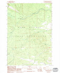
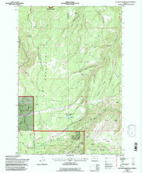
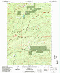
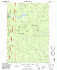
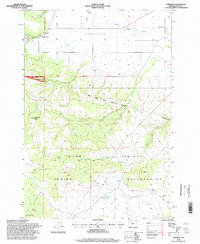
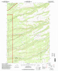
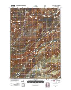
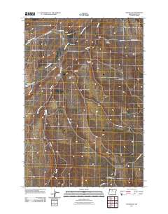
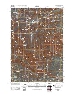
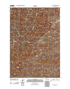
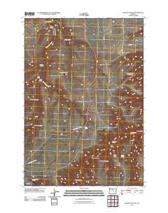
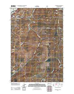
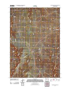
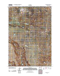
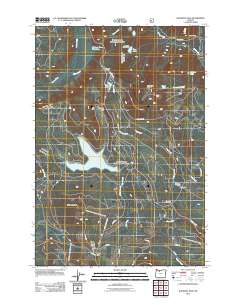
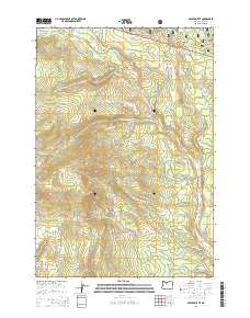
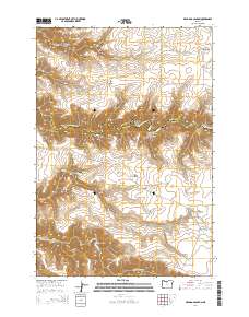
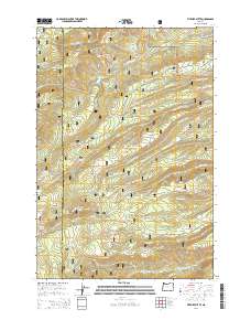
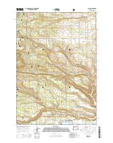
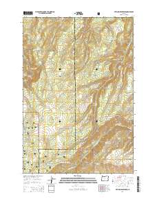
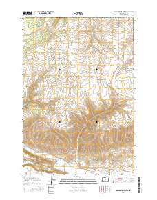
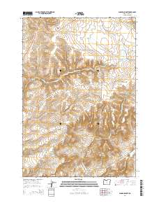
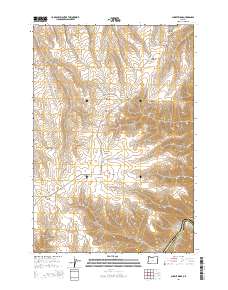
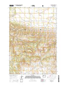
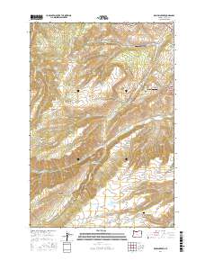
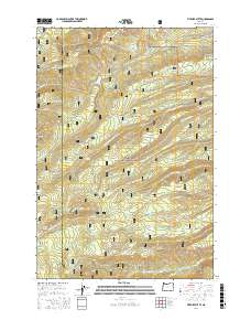
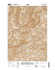
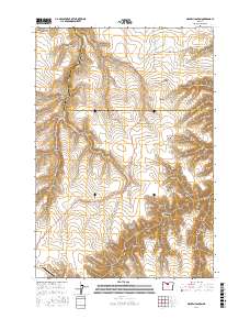
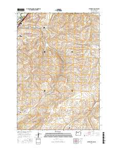
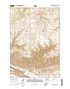
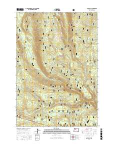
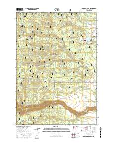
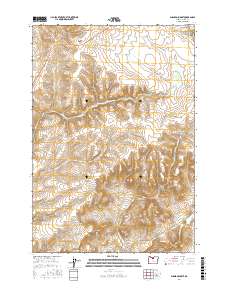
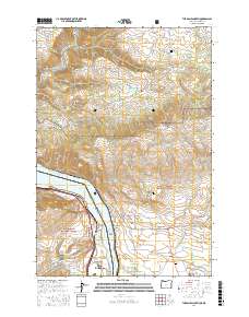
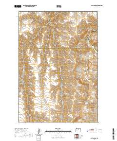
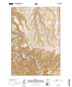
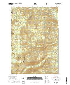
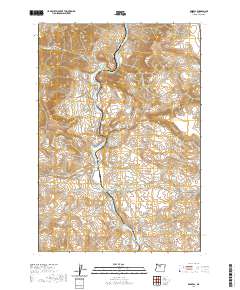
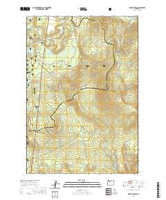
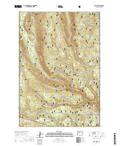
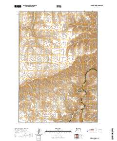
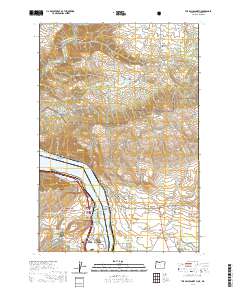
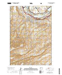
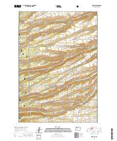
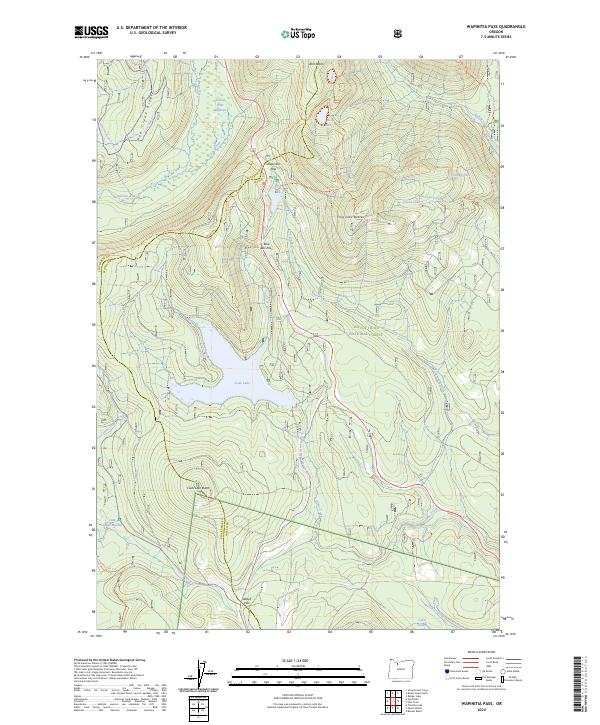
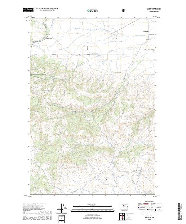
1994 Map of The Dalles South
USGS Topo · Published 1995About this map
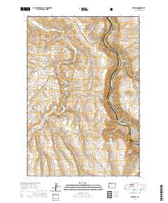
The Dalles serves as a critical Columbia River hub, where the The Dalles Bridge and The Dalles Dam anchor the regional economy. This 1990s survey illustrates a landscape of established civic life and agricultural transition, from the industrial grain elevators and Union Pacific rail lines near Lake Celilo to the surrounding orchards and heights. The map preserves the locations of several historic burial grounds, including the IOOF Cem and Pioneer Cem, alongside institutions like St Marys Academy.
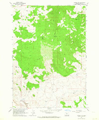
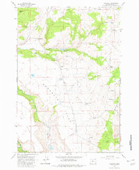
Find a feature on this map
48 named features on this map. Tap any name to fly to it.
Don’t see what you’re looking for? This feature index may not catch every label — zoom into the map to look around manually.
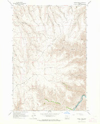
Map Details
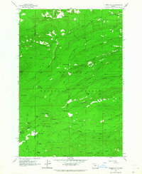
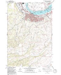
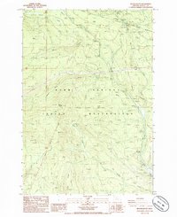
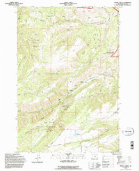
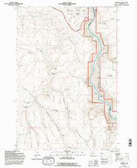
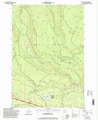
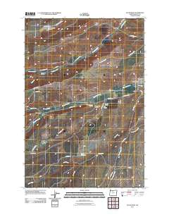
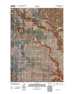
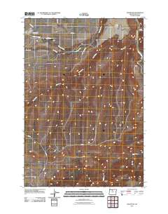
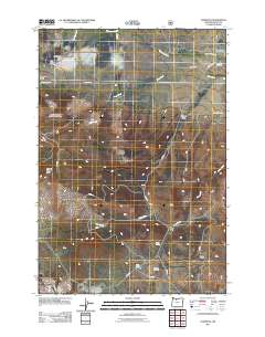
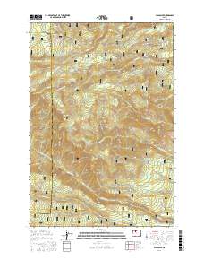
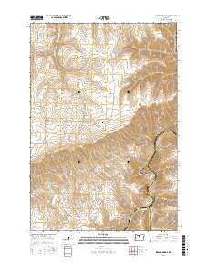
Editions of this 1994 The Dalles South Map
This is the sole edition of this map. No revisions or reprints were ever made.
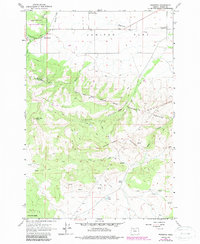
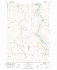
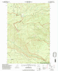
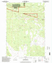
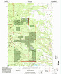
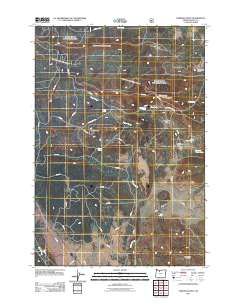
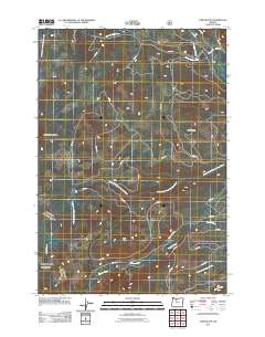
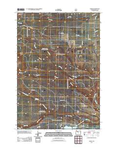
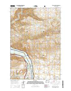
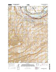
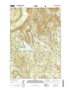
Historical Maps of The Dalles Through Time
246 maps found
1956 Mt. Wilson
Wasco County, OR
1961 Fort Butte
Wasco County, OR
1962 Dant
Wasco County, OR
1962 Dufur East
Wasco County, OR
1962 Dufur West
Wasco County, OR
1962 Fivemile Butte
Wasco County, OR
1962 Flag Point
Wasco County, OR
1962 Foreman Point
Wasco County, OR
1962 Friend
Wasco County, OR
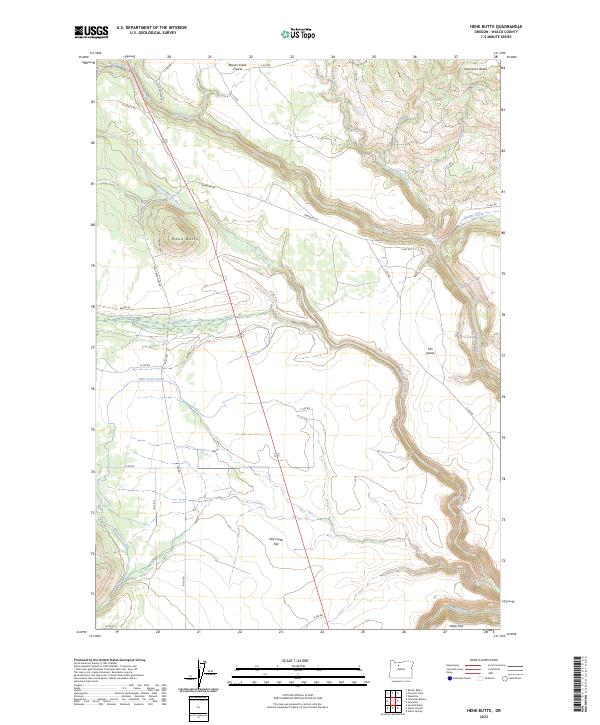
1962 Hehe Butte
Wasco County, OR
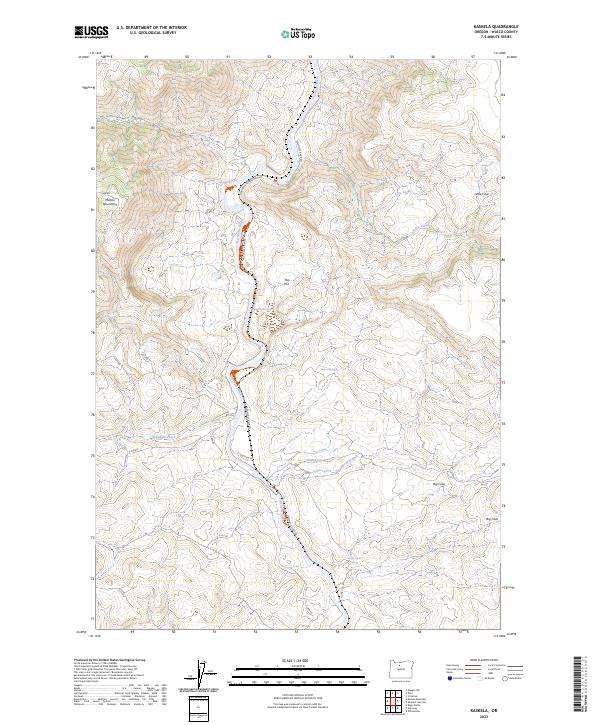
1962 Kaskela
Wasco County, OR
1962 Maupin SW
Wasco County, OR
1962 Mutton Mtn
Wasco County, OR
1962 Postage Stamp Butte
Wasco County, OR
1962 Rock Creek Reservoir
Wasco County, OR
1962 Sherars Bridge
Wasco County, OR
1962 Simnasho
Wasco County, OR
1962 Summit Ridge
Wasco County, OR
1962 Wapinitia
Wasco County, OR
1962 Wolf Run
Wasco County, OR
1966 Willowdale
Wasco County, OR
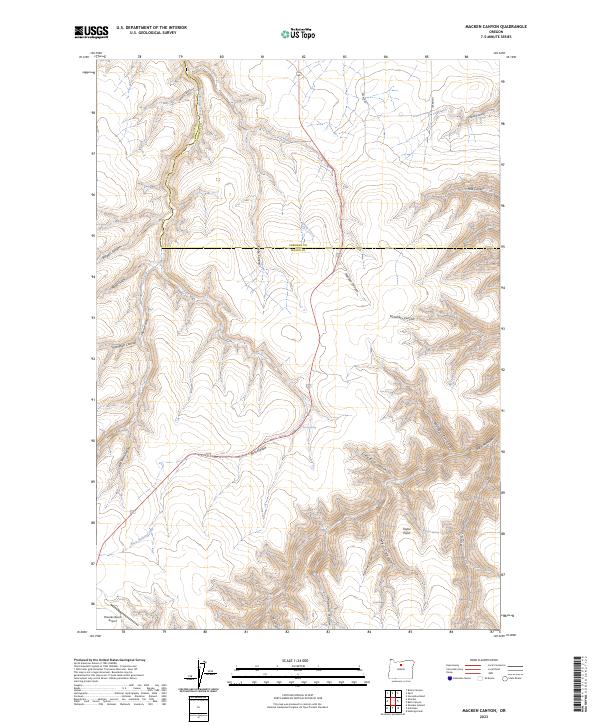
1970 Macken Canyon
Wasco County, OR

1971 Bath Canyon
Wasco County, OR
1971 Criterion
Wasco County, OR
1971 Dead Dog Canyon
Wasco County, OR
1974 Brown Creek
Wasco County, OR
1974 The Dalles North
Wasco County, OR
1975 The Dalles North
Wasco County, OR
1975 The Dalles South
Wasco County, OR
1977 Emerson
Wasco County, OR
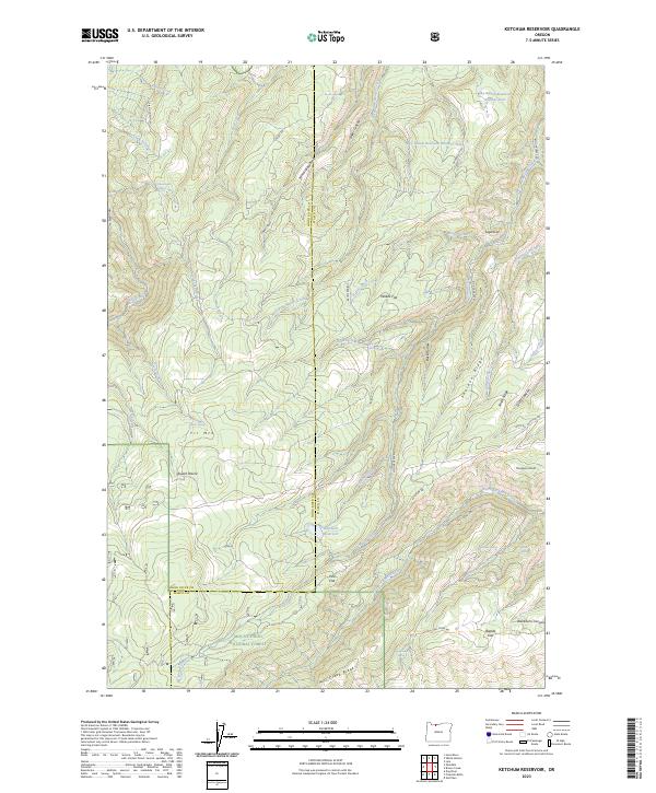
1977 Ketchum Reservoir
Wasco County, OR
1977 The Dalles South
Wasco County, OR
1978 Petersburg
Wasco County, OR
1985 Beaver Butte
Wasco County, OR
1985 Mt. Wilson
Wasco County, OR
1985 Post Point
Wasco County, OR
1985 Wapinitia Pass
Wasco County, OR
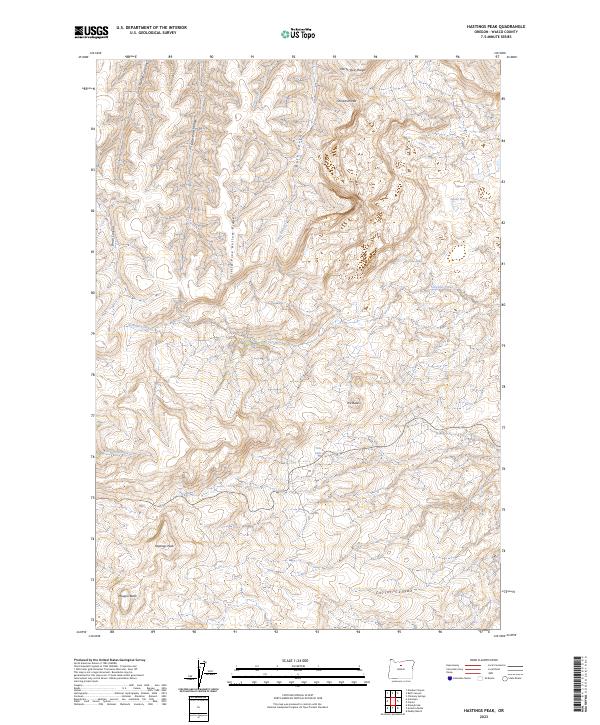
1987 Hastings Peak
Wasco County, OR
1987 Shaniko Junction
Wasco County, OR
1987 Shaniko Summit
Wasco County, OR
1988 Fort Butte
Wasco County, OR
1988 Sidwalter Buttes
Wasco County, OR
1994 Brown Creek
Wasco County, OR
1994 Emerson
Wasco County, OR
1994 Ketchum Reservoir
Wasco County, OR
1994 Petersburg
Wasco County, OR
1994 The Dalles North
Wasco County, OR
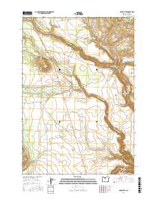
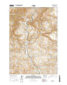
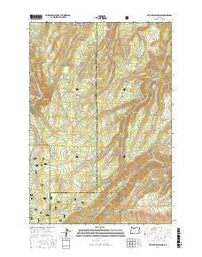
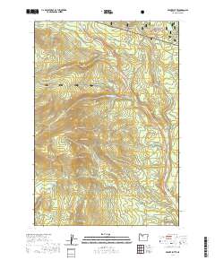
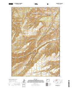
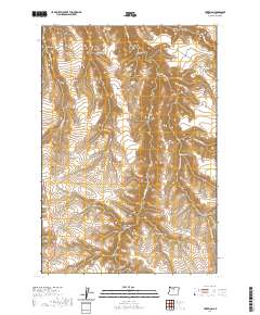
1994 The Dalles South
Wasco County, OR
1996 Beaver Butte
Wasco County, OR
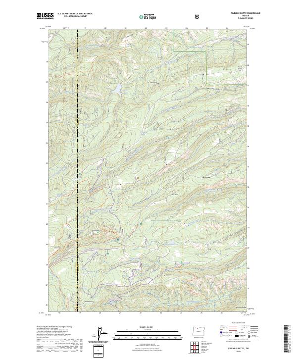
1996 Fivemile Butte
Wasco County, OR
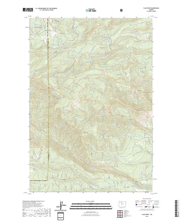
1996 Flag Point
Wasco County, OR
1996 Foreman Point
Wasco County, OR

1996 Fort Butte
Wasco County, OR
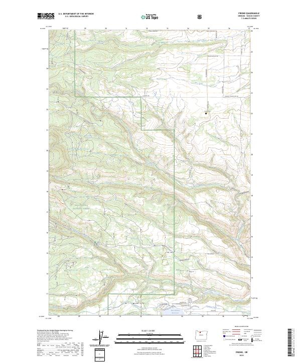
1996 Friend
Wasco County, OR
1996 Mount Wilson
Wasco County, OR
1996 Post Point
Wasco County, OR
1996 Rock Creek Reservoir
Wasco County, OR
1996 Wapinitia Pass
Wasco County, OR
1996 Wapinitia
Wasco County, OR
1996 Wolf Run
Wasco County, OR
2011 Bath Canyon
Wasco County, OR
2011 Beaver Butte
Wasco County, OR
2011 Brown Creek
Wasco County, OR
2011 Criterion
Wasco County, OR
2011 Dant
Wasco County, OR
2011 Dead Dog Canyon
Wasco County, OR
2011 Dufur East
Wasco County, OR
2011 Dufur West
Wasco County, OR
2011 Emerson
Wasco County, OR
2011 Fivemile Butte
Wasco County, OR
2011 Flag Point
Wasco County, OR
2011 Foreman Point
Wasco County, OR
2011 Fort Butte
Wasco County, OR
2011 Friend
Wasco County, OR
2011 Hastings Peak
Wasco County, OR
2011 Hehe Butte
Wasco County, OR
2011 Kaskela
Wasco County, OR
2011 Ketchum Reservoir
Wasco County, OR
2011 Macken Canyon
Wasco County, OR
2011 Maupin SW
Wasco County, OR
2011 Mount Wilson
Wasco County, OR
2011 Mutton Mountain
Wasco County, OR
2011 Petersburg
Wasco County, OR
2011 Postage Stamp Butte
Wasco County, OR
2011 Post Point
Wasco County, OR
2011 Rock Creek Reservoir
Wasco County, OR
2011 Shaniko Junction
Wasco County, OR
2011 Shaniko Summit
Wasco County, OR
2011 Sherars Bridge
Wasco County, OR
2011 Sidwalter Buttes
Wasco County, OR
2011 Simnasho
Wasco County, OR
2011 Summit Ridge
Wasco County, OR
2011 The Dalles North
Wasco County, OR
2011 The Dalles South
Wasco County, OR
2011 Wapinitia Pass
Wasco County, OR
2011 Wapinitia
Wasco County, OR
2011 Wolf Run
Wasco County, OR
2014 Bath Canyon
Wasco County, OR
2014 Beaver Butte
Wasco County, OR
2014 Brown Creek
Wasco County, OR
2014 Criterion
Wasco County, OR
2014 Dant
Wasco County, OR
2014 Dead Dog Canyon
Wasco County, OR
2014 Dufur East
Wasco County, OR
2014 Dufur West
Wasco County, OR
2014 Emerson
Wasco County, OR
2014 Fivemile Butte
Wasco County, OR
2014 Flag Point
Wasco County, OR
2014 Foreman Point
Wasco County, OR
2014 Fort Butte
Wasco County, OR
2014 Friend
Wasco County, OR
2014 Hastings Peak
Wasco County, OR
2014 Hehe Butte
Wasco County, OR
2014 Kaskela
Wasco County, OR
2014 Ketchum Reservoir
Wasco County, OR
2014 Macken Canyon
Wasco County, OR
2014 Maupin SW
Wasco County, OR
2014 Mount Wilson
Wasco County, OR

2014 Mutton Mountain
Wasco County, OR

2014 Petersburg
Wasco County, OR
2014 Postage Stamp Butte
Wasco County, OR
2014 Post Point
Wasco County, OR
2014 Rock Creek Reservoir
Wasco County, OR
2014 Shaniko Junction
Wasco County, OR
2014 Shaniko Summit
Wasco County, OR
2014 Sherars Bridge
Wasco County, OR
2014 Sidwalter Buttes
Wasco County, OR
2014 Simnasho
Wasco County, OR
2014 Summit Ridge
Wasco County, OR
2014 The Dalles North
Wasco County, OR
2014 The Dalles South
Wasco County, OR
2014 Wapinitia Pass
Wasco County, OR
2014 Wapinitia
Wasco County, OR
2014 Wolf Run
Wasco County, OR
2017 Bath Canyon
Wasco County, OR
2017 Beaver Butte
Wasco County, OR
2017 Brown Creek
Wasco County, OR

2017 Criterion
Wasco County, OR

2017 Dant
Wasco County, OR
2017 Dead Dog Canyon
Wasco County, OR

2017 Dufur East
Wasco County, OR
2017 Dufur West
Wasco County, OR
2017 Emerson
Wasco County, OR
2017 Fivemile Butte
Wasco County, OR
2017 Flag Point
Wasco County, OR
2017 Foreman Point
Wasco County, OR
2017 Fort Butte
Wasco County, OR

2017 Friend
Wasco County, OR
2017 Hastings Peak
Wasco County, OR
2017 Hehe Butte
Wasco County, OR
2017 Kaskela
Wasco County, OR
2017 Ketchum Reservoir
Wasco County, OR
2017 Macken Canyon
Wasco County, OR
2017 Maupin SW
Wasco County, OR
2017 Mount Wilson
Wasco County, OR
2017 Mutton Mountain
Wasco County, OR
2017 Petersburg
Wasco County, OR
2017 Postage Stamp Butte
Wasco County, OR
2017 Post Point
Wasco County, OR
2017 Rock Creek Reservoir
Wasco County, OR

2017 Shaniko Junction
Wasco County, OR
2017 Shaniko Summit
Wasco County, OR
2017 Sherars Bridge
Wasco County, OR
2017 Sidwalter Buttes
Wasco County, OR
2017 Simnasho
Wasco County, OR

2017 Summit Ridge
Wasco County, OR
2017 The Dalles North
Wasco County, OR
2017 The Dalles South
Wasco County, OR
2017 Wapinitia Pass
Wasco County, OR

2017 Wapinitia
Wasco County, OR
2017 Wolf Run
Wasco County, OR
2020 Bath Canyon
Wasco County, OR
2020 Beaver Butte
Wasco County, OR
2020 Brown Creek
Wasco County, OR
2020 Criterion
Wasco County, OR
2020 Dant
Wasco County, OR
2020 Dead Dog Canyon
Wasco County, OR
2020 Dufur East
Wasco County, OR
2020 Dufur West
Wasco County, OR
2020 Emerson
Wasco County, OR
2020 Fivemile Butte
Wasco County, OR
2020 Flag Point
Wasco County, OR
2020 Foreman Point
Wasco County, OR
2020 Fort Butte
Wasco County, OR
2020 Friend
Wasco County, OR
2020 Hastings Peak
Wasco County, OR
2020 Hehe Butte
Wasco County, OR
2020 Kaskela
Wasco County, OR
2020 Ketchum Reservoir
Wasco County, OR
2020 Macken Canyon
Wasco County, OR
2020 Maupin SW
Wasco County, OR
2020 Mount Wilson
Wasco County, OR
2020 Mutton Mountain
Wasco County, OR
2020 Petersburg
Wasco County, OR
2020 Postage Stamp Butte
Wasco County, OR
2020 Post Point
Wasco County, OR
2020 Rock Creek Reservoir
Wasco County, OR
2020 Shaniko Junction
Wasco County, OR
2020 Shaniko Summit
Wasco County, OR
2020 Sherars Bridge
Wasco County, OR
2020 Sidwalter Buttes
Wasco County, OR
2020 Simnasho
Wasco County, OR
2020 Summit Ridge
Wasco County, OR
2020 The Dalles North
Wasco County, OR
2020 The Dalles South
Wasco County, OR
2020 Wapinitia Pass
Wasco County, OR
2020 Wapinitia
Wasco County, OR
2020 Wolf Run
Wasco County, OR
2023 Bath Canyon
Wasco County, OR
2023 Beaver Butte
Wasco County, OR
2023 Criterion
Wasco County, OR
2023 Dant
Wasco County, OR
2023 Dead Dog Canyon
Wasco County, OR
2023 Dufur East
Wasco County, OR
2023 Emerson
Wasco County, OR
2023 Fivemile Butte
Wasco County, OR
2023 Flag Point
Wasco County, OR
2023 Friend
Wasco County, OR
2023 Hastings Peak
Wasco County, OR
2023 Hehe Butte
Wasco County, OR
2023 Kaskela
Wasco County, OR
2023 Ketchum Reservoir
Wasco County, OR
2023 Macken Canyon
Wasco County, OR
2023 Maupin SW
Wasco County, OR
2023 Mount Wilson
Wasco County, OR
2023 Petersburg
Wasco County, OR
2023 Postage Stamp Butte
Wasco County, OR
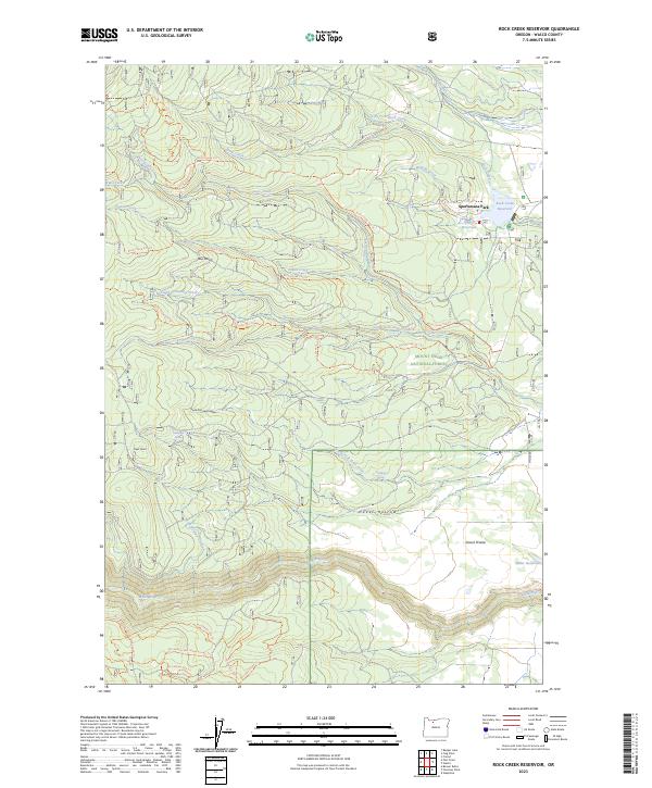
2023 Rock Creek Reservoir
Wasco County, OR
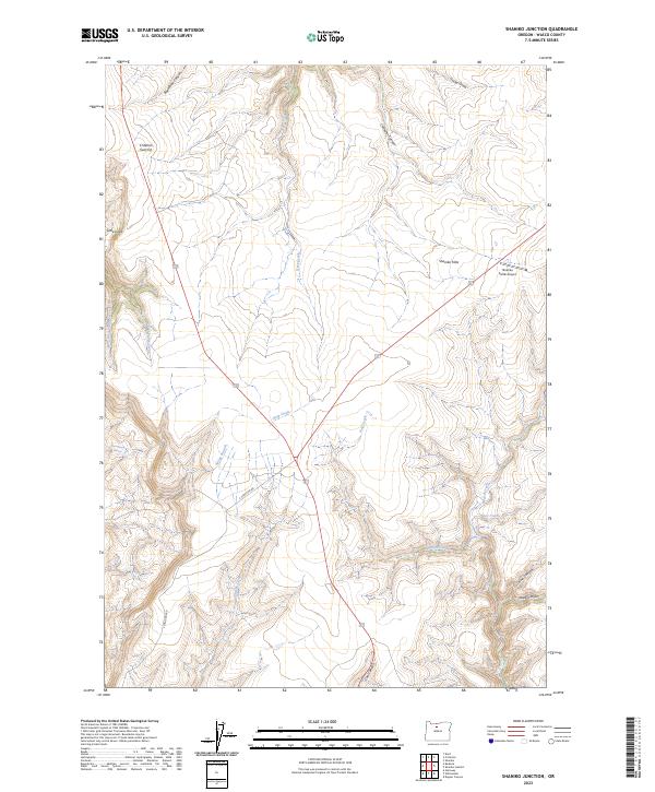
2023 Shaniko Junction
Wasco County, OR
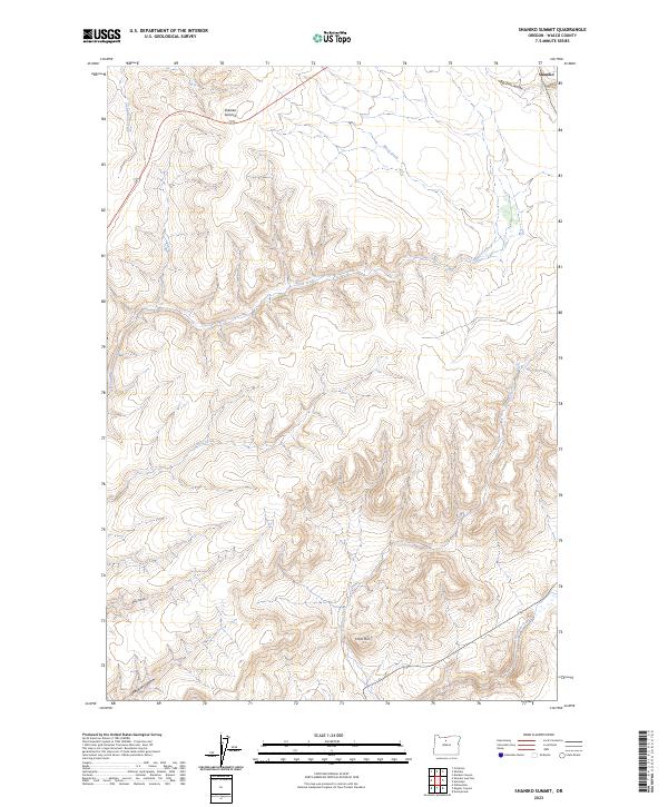
2023 Shaniko Summit
Wasco County, OR
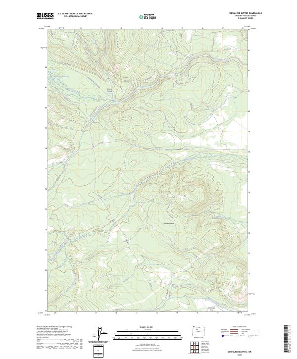
2023 Sidwalter Buttes
Wasco County, OR

2023 The Dalles North
Wasco County, OR
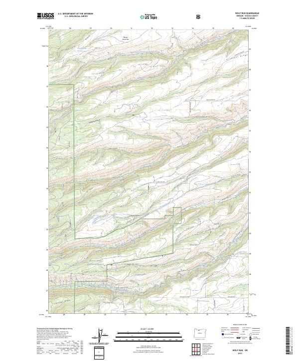
2023 Wolf Run
Wasco County, OR
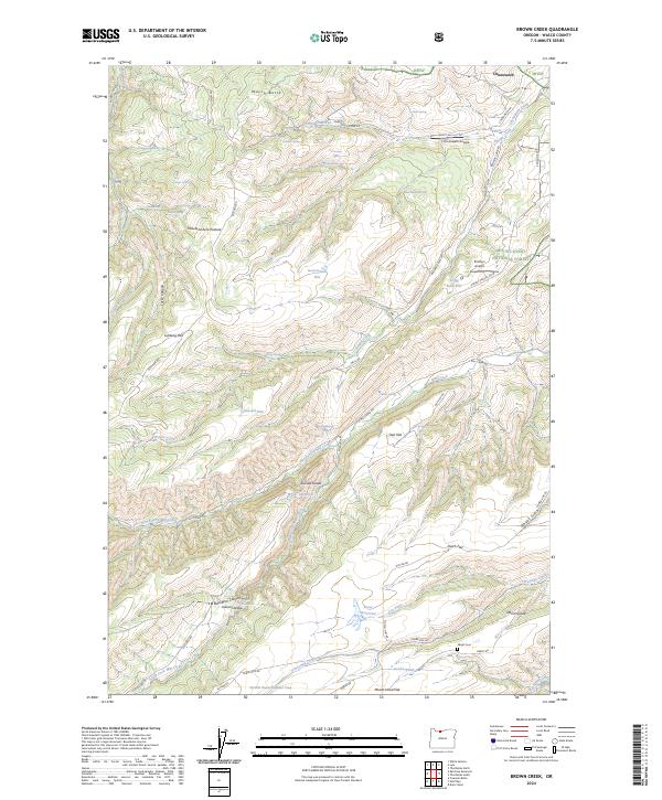
2024 Brown Creek
Wasco County, OR
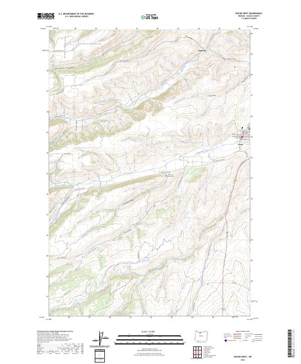
2024 Dufur West
Wasco County, OR
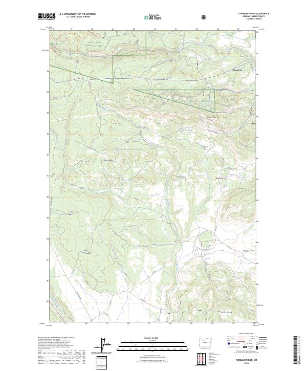
2024 Foreman Point
Wasco County, OR
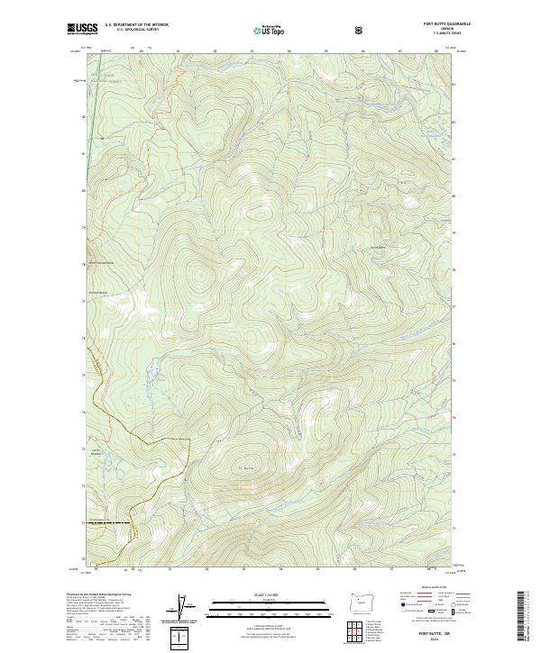
2024 Fort Butte
Wasco County, OR
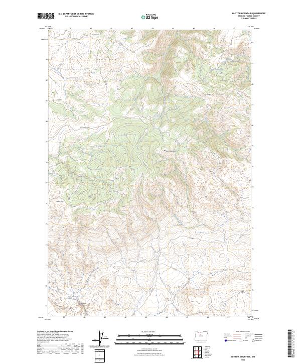
2024 Mutton Mountain
Wasco County, OR
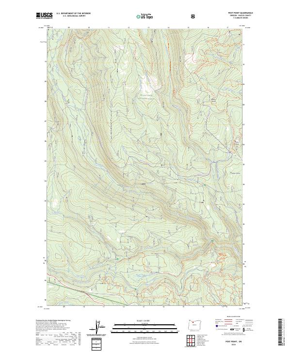
2024 Post Point
Wasco County, OR
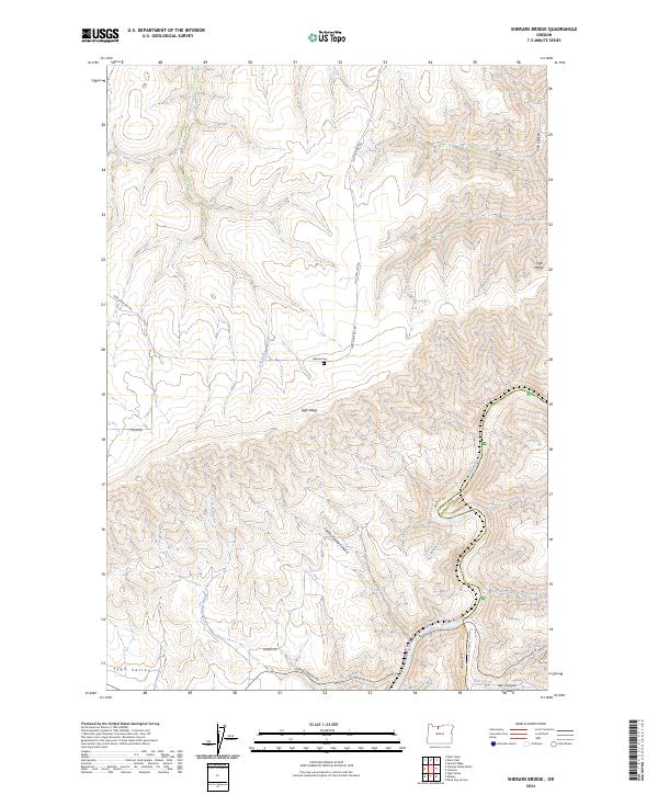
2024 Sherars Bridge
Wasco County, OR
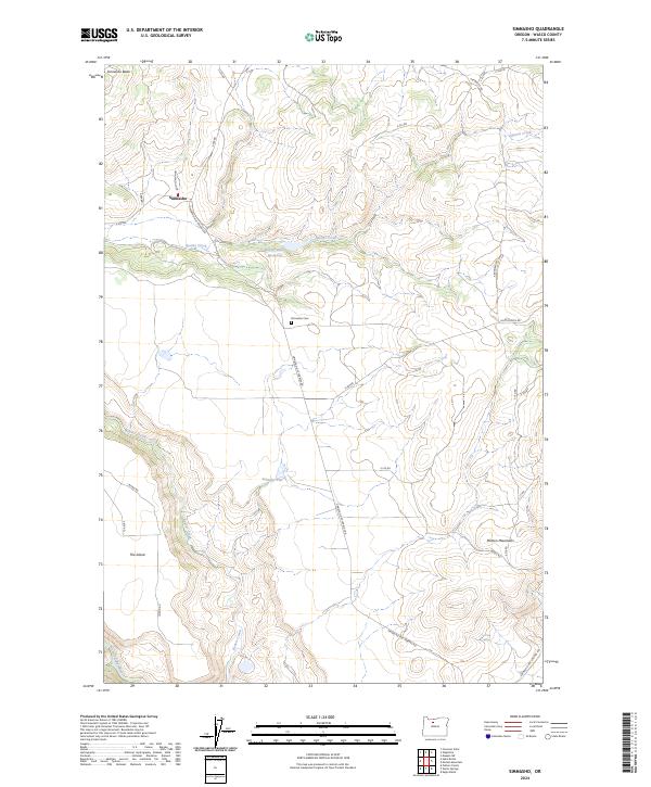
2024 Simnasho
Wasco County, OR
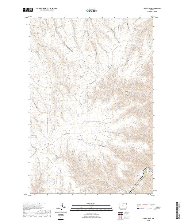
2024 Summit Ridge
Wasco County, OR
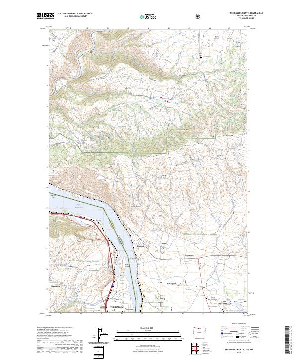
2024 The Dalles North
Wasco County, OR
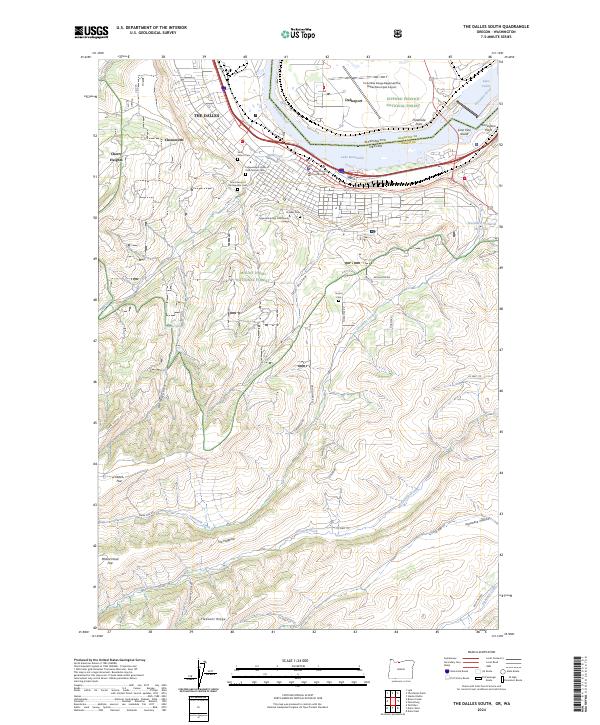
2024 The Dalles South
Wasco County, OR
2024 Wapinitia Pass
Wasco County, OR
2024 Wapinitia
Wasco County, OR