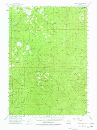
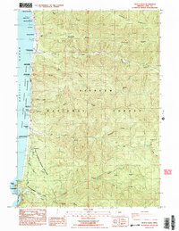
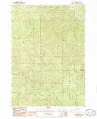
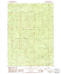
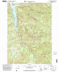
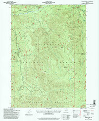
2023 Map of Vida
USGS Topo · Published 2023About this map
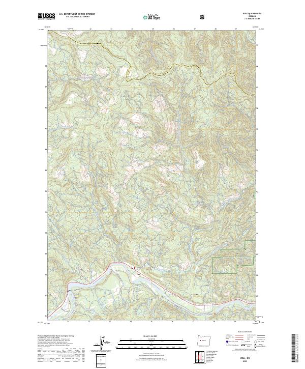
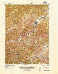
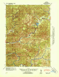
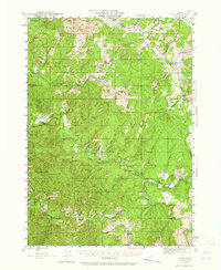
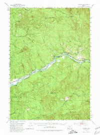
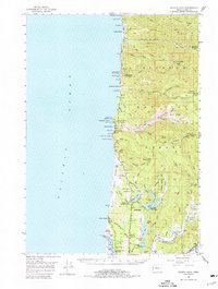
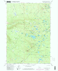
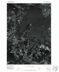
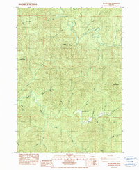
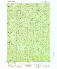
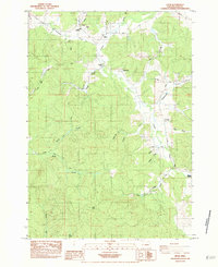
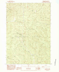
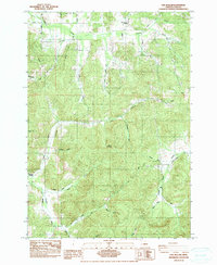
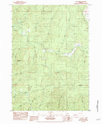
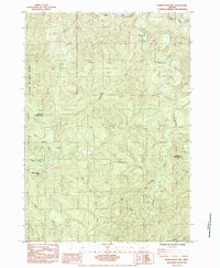
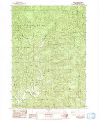
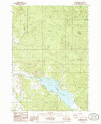
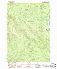
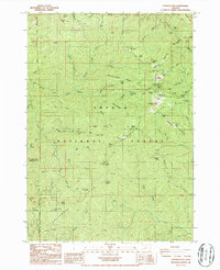
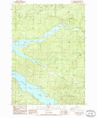
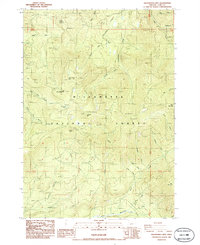
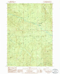
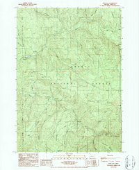
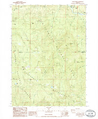
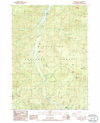
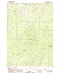
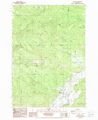
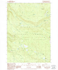
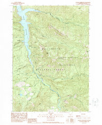
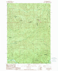
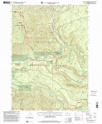
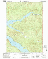
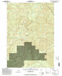
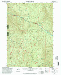
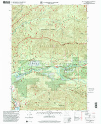
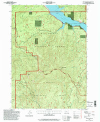
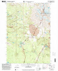
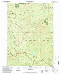
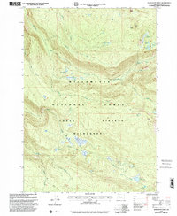
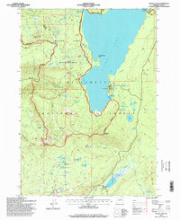
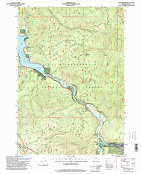
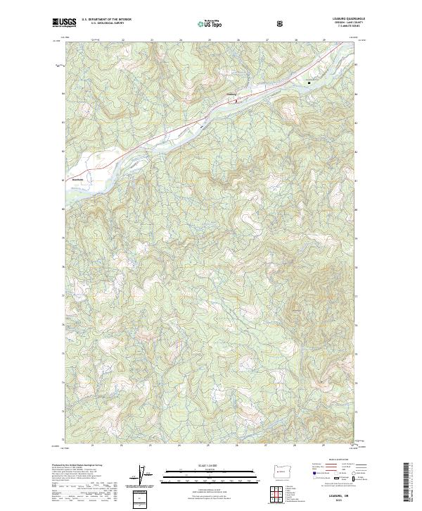
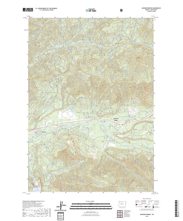
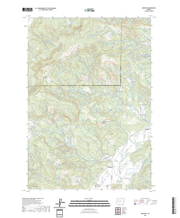
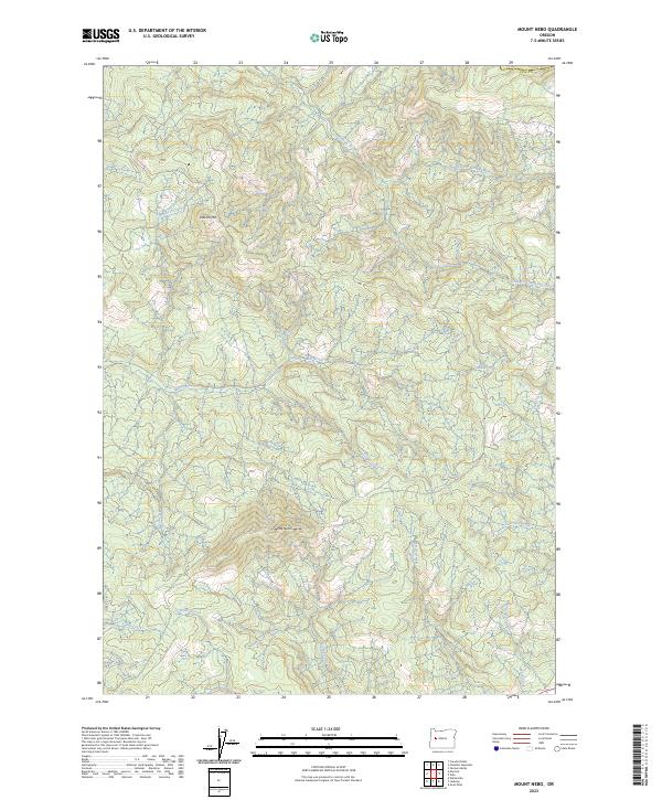
Vida is situated along the banks of the McKenzie River in the foothills of the Cascade Range. This 2023 survey illustrates the confluence of several significant drainage systems, where the North Fork Mohawk River and South Fork Mohawk River navigate the timbered landscape of Lane County. The southern portion of the sheet is dominated by the river corridor, featuring Marten Rapids and several small tributaries like Honey Creek and Granite Creek. Much of the eastern terrain falls within the Willamette National Forest, where steep ridges are defined by the North Fork Gate Creek and South Fork Gate Creek. Local transportation is centered on the river valley via Goodpasture Rd and N Gate Creek Rd, providing access to the various creeks and land tracts that have long supported the region's forestry and river-based identity.
Find a feature on this map
38 named features on this map. Tap any name to fly to it.
Don’t see what you’re looking for? This feature index may not catch every label — zoom into the map to look around manually.
Map Details
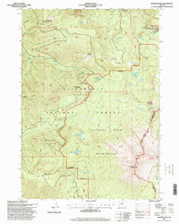
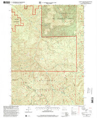
Editions of this 2023 Vida Map
This is the sole edition of this map. No revisions or reprints were ever made.
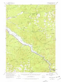
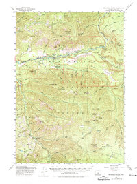
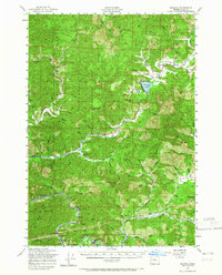
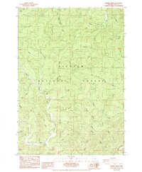
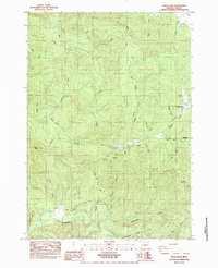
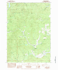
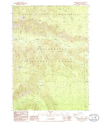
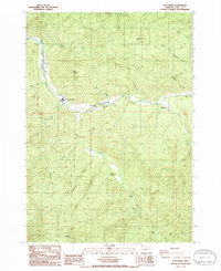
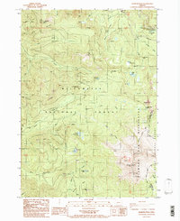
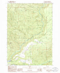
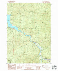
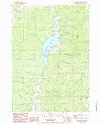
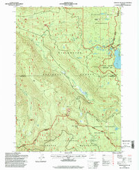
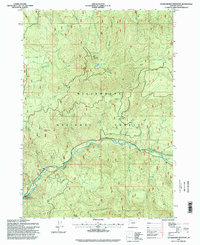
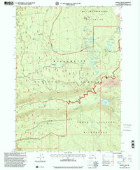
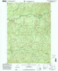
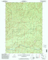
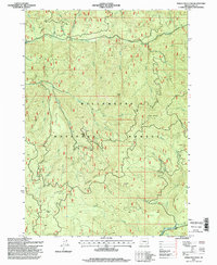
Historical Maps of Vida Through Time
222 maps found
1920 Heceta Head
Lane County, OR
1920 Siltcoos Lake
Lane County, OR
1925 Waldo Lake
Lane County, OR
1941 Blachly
Lane County, OR

1941 Siltcoos Lake
Lane County, OR
1942 Blachly
Lane County, OR
1942 Crow
Lane County, OR
1942 Heceta Head
Lane County, OR

1942 Siltcoos Lake
Lane County, OR

1945 Crow
Lane County, OR
1951 Leaburg
Lane County, OR
1955 Blue River
Lane County, OR
1955 Chucksney Mtn
Lane County, OR
1955 Culp Creek
Lane County, OR
1955 Fairview Peak
Lane County, OR
1955 Hardesty Mtn
Lane County, OR
1955 Mc Kenzie Bridge
Lane County, OR
1956 Blachly
Lane County, OR
1956 Heceta Head
Lane County, OR
1956 Sardine Butte
Lane County, OR
1956 Siltcoos Lake
Lane County, OR
1956 Waldo Lake
Lane County, OR

1959 Three Sisters
Lane County, OR
1963 Packsaddle Mtn
Lane County, OR
1967 Eugene East
Lane County, OR
1967 Eugene West
Lane County, OR
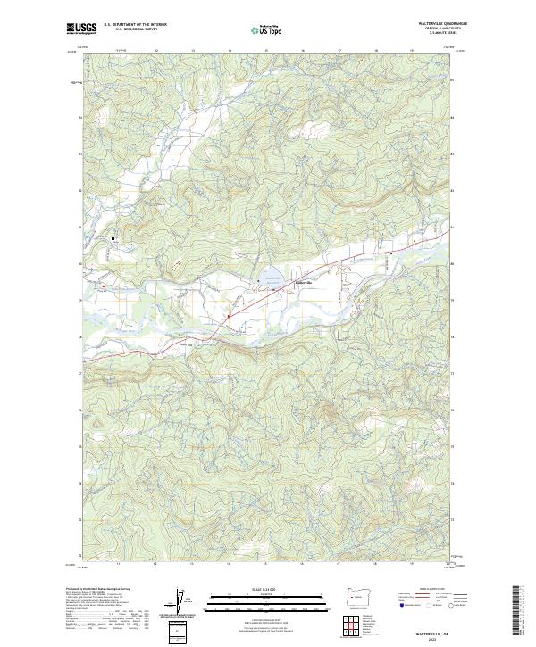
1967 Walterville
Lane County, OR
1975 Elmira SE
Lane County, OR
1975 Eugene East
Lane County, OR
1975 Eugene West
Lane County, OR
1984 Baldy Mtn
Lane County, OR
1984 Beaver Creek
Lane County, OR
1984 Clay Creek
Lane County, OR
1984 Crow
Lane County, OR
1984 Cummins Peak
Lane County, OR
1984 Fox Hollow
Lane County, OR
1984 Goodwin Peak
Lane County, OR
1984 Goose Pasture
Lane County, OR
1984 Greenleaf
Lane County, OR
1984 Heceta Head
Lane County, OR
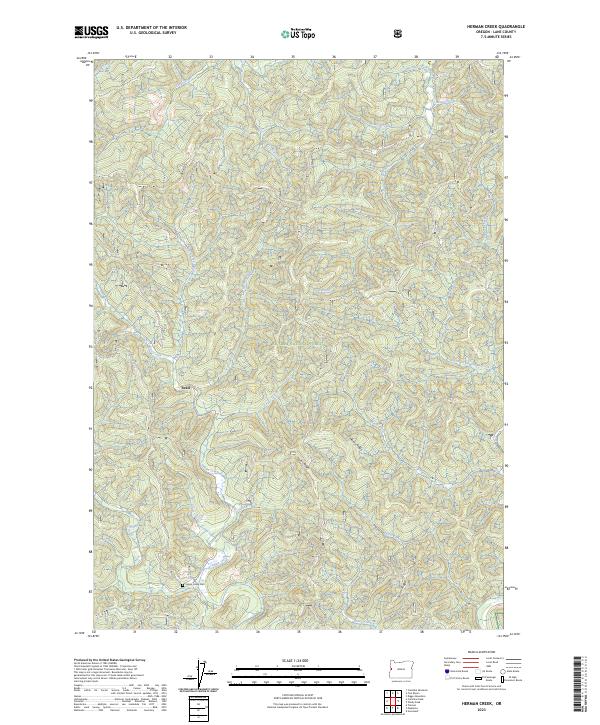
1984 Herman Creek
Lane County, OR
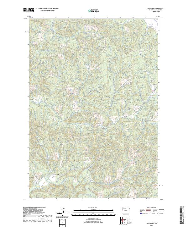
1984 High Point
Lane County, OR
1984 Horton
Lane County, OR
1984 Letz Creek
Lane County, OR
1984 Lorane
Lane County, OR
1984 Mercer Lake
Lane County, OR
1984 Noti
Lane County, OR
1984 Roman Nose Mtn
Lane County, OR
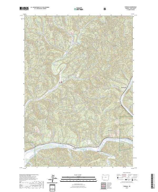
1984 Tiernan
Lane County, OR
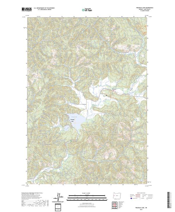
1984 Triangle Lake
Lane County, OR
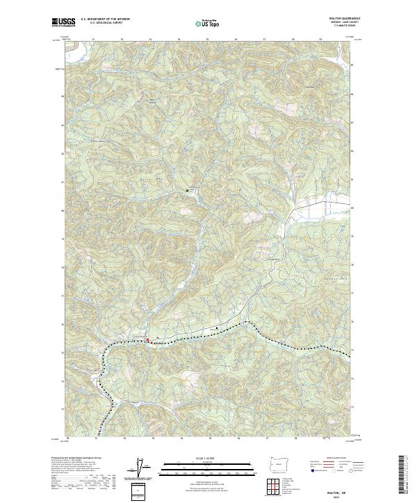
1984 Walton
Lane County, OR
1984 Windy Peak
Lane County, OR
1986 Bearbones Mtn
Lane County, OR
1986 Blair Lake
Lane County, OR
1986 Blue Mountain
Lane County, OR
1986 Burnt Mtn
Lane County, OR
1986 Chucksney Mountain
Lane County, OR
1986 Culp Creek
Lane County, OR
1986 Diamond Peak
Lane County, OR
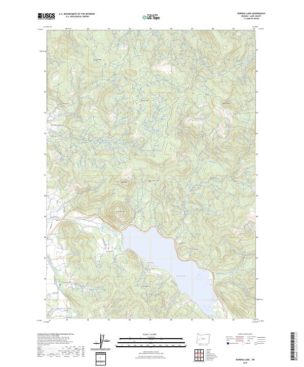
1986 Dorena Lake
Lane County, OR
1986 Emigrant Butte
Lane County, OR
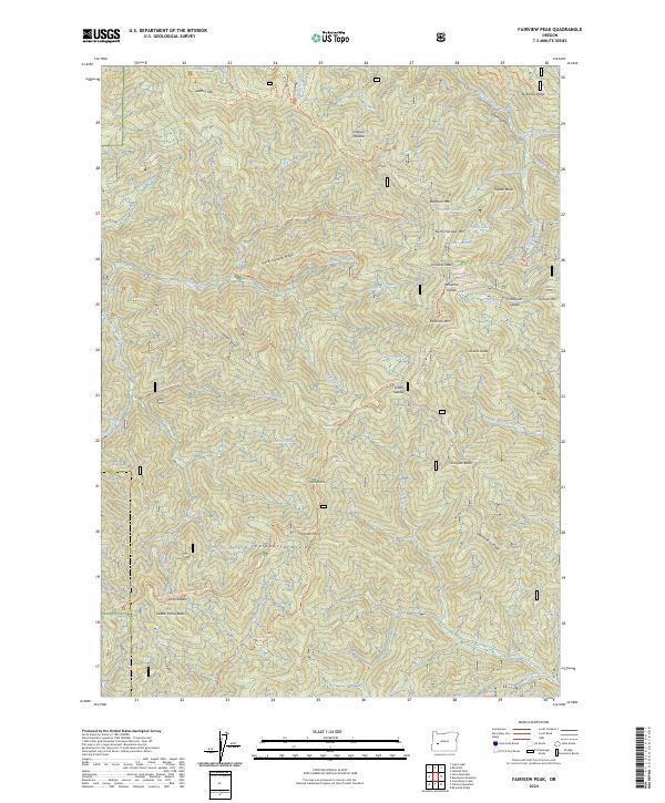
1986 Fairview Peak
Lane County, OR
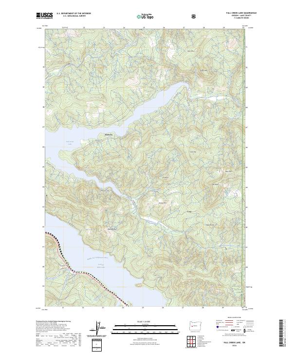
1986 Fall Creek Lake
Lane County, OR
1986 Groundhog Mountain
Lane County, OR
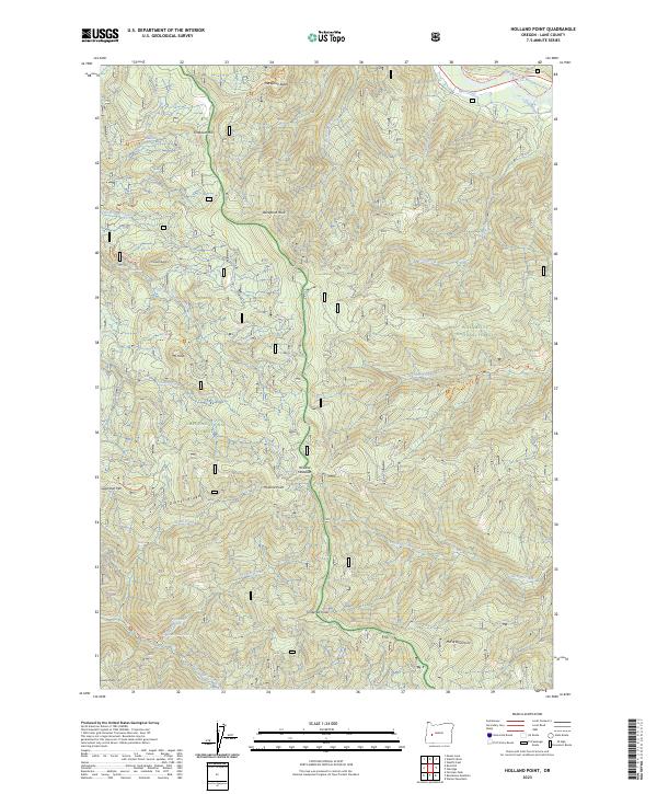
1986 Holland Point
Lane County, OR
1986 Huckleberry Mtn
Lane County, OR
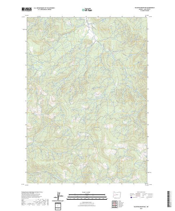
1986 Kloster Mtn
Lane County, OR
1986 Mc Credie Springs
Lane County, OR
1986 Mount June
Lane County, OR
1986 Mt. David Douglas
Lane County, OR
1986 Rigdon Point
Lane County, OR
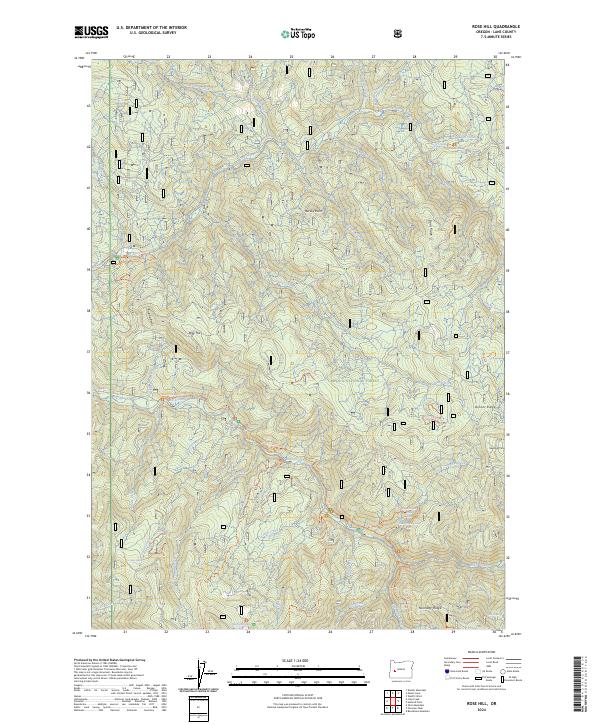
1986 Rose Hill
Lane County, OR
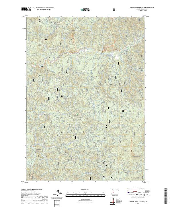
1986 Saddleblanket Mountain
Lane County, OR
1986 Sardine Butte
Lane County, OR
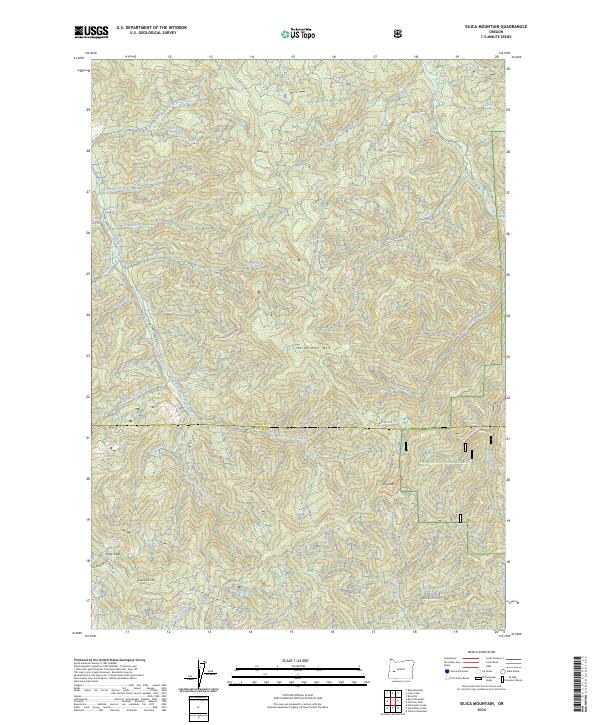
1986 Silica Mtn
Lane County, OR
1986 Sinker Mtn
Lane County, OR
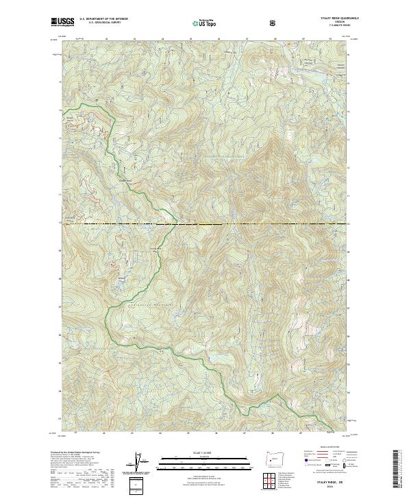
1986 Staley Ridge
Lane County, OR
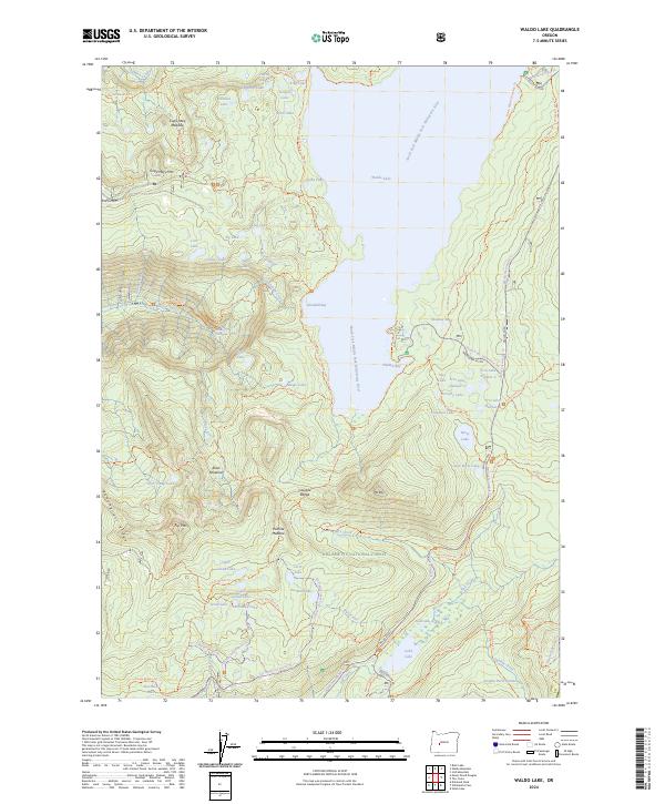
1986 Waldo Lake
Lane County, OR
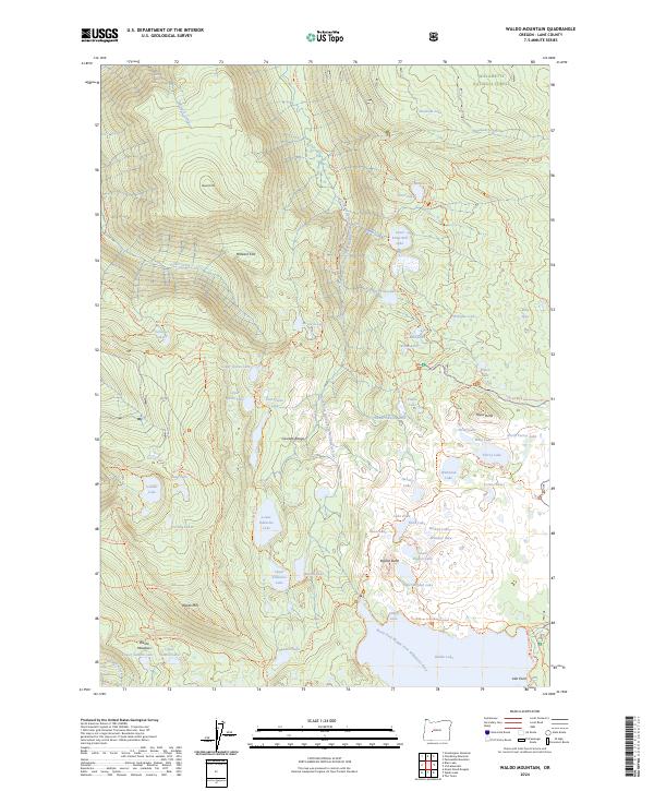
1986 Waldo Mountain
Lane County, OR
1986 Warner Mountain
Lane County, OR
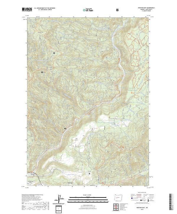
1986 Westfir East
Lane County, OR
1986 Westfir West
Lane County, OR
1987 Cottage Grove Lake
Lane County, OR
1987 Harness Mtn
Lane County, OR
1988 Goat Point
Lane County, OR
1988 Leaburg
Lane County, OR
1988 Linton Lake
Lane County, OR
1988 Mohawk
Lane County, OR
1988 Mount Nebo
Lane County, OR
1988 North Sister
Lane County, OR
1988 South Sister
Lane County, OR
1988 Substitute Point
Lane County, OR
1988 Vida
Lane County, OR
1989 Belknap Springs
Lane County, OR
1989 Blue River
Lane County, OR
1989 Cougar Reservoir
Lane County, OR
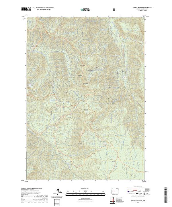
1989 French Mountain
Lane County, OR
1989 Harvey Mountain
Lane County, OR
1989 Mc Kenzie Bridge
Lane County, OR
1989 Mt. Hagan
Lane County, OR
1989 Nimrod
Lane County, OR
1989 Reynolds Ridge
Lane County, OR
1997 Bearbones Mountain
Lane County, OR
1997 Belknap Springs
Lane County, OR
1997 Blair Lake
Lane County, OR
1997 Blue River
Lane County, OR
1997 Chucksney Mountain
Lane County, OR
1997 Cougar Reservoir
Lane County, OR
1997 Diamond Peak
Lane County, OR
1997 Emigrant Butte
Lane County, OR
1997 Fairview Peak
Lane County, OR
1997 Fall Creek Lake
Lane County, OR
1997 French Mountain
Lane County, OR
1997 Goat Point
Lane County, OR
1997 Grasshopper Mountain
Lane County, OR
1997 Groundhog Mountain
Lane County, OR
1997 Harvey Mountain
Lane County, OR
1997 Huckleberry Mountain
Lane County, OR
1997 Linton Lake
Lane County, OR
1997 Mc Credie Springs
Lane County, OR
1997 Mc Kenzie Bridge
Lane County, OR
1997 Mount David Douglas
Lane County, OR
1997 Mount Hagan
Lane County, OR
1997 Mount June
Lane County, OR
1997 Nimrod
Lane County, OR
1997 North Sister
Lane County, OR
1997 Packsaddle Mountain
Lane County, OR
1997 Rigdon Point
Lane County, OR
1997 Saddleblanket Mountain
Lane County, OR
1997 Sardine Butte
Lane County, OR
1997 Sinker Mountain
Lane County, OR
1997 South Sister
Lane County, OR
1997 Staley Ridge
Lane County, OR
1997 Substitute Point
Lane County, OR
1997 Vida
Lane County, OR
1997 Waldo Lake
Lane County, OR
1997 Waldo Mountain
Lane County, OR
1997 Warner Mountain
Lane County, OR
1997 Westfir East
Lane County, OR
1997 Westfir West
Lane County, OR
1998 Reynolds Ridge
Lane County, OR
1998 Rose Hill
Lane County, OR
1998 Silica Mountain
Lane County, OR
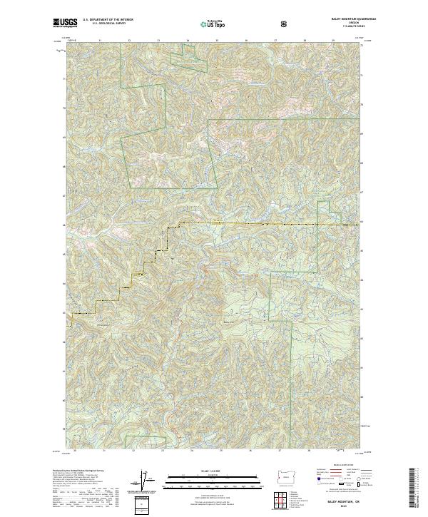
2023 Baldy Mountain
Lane County, OR
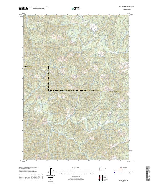
2023 Beaver Creek
Lane County, OR
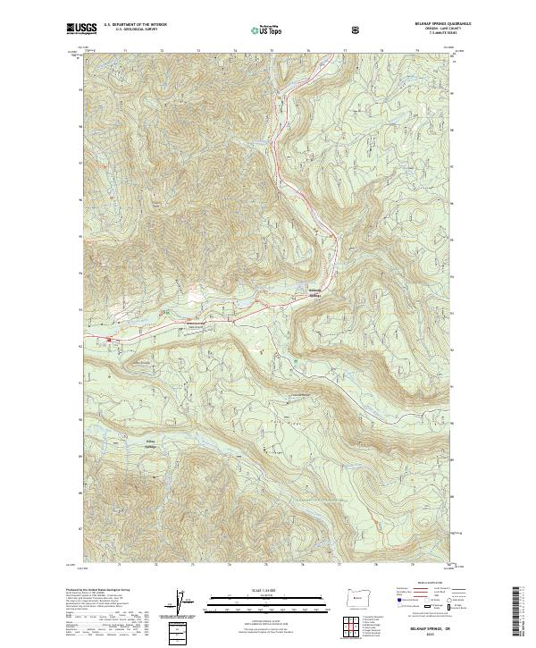
2023 Belknap Springs
Lane County, OR
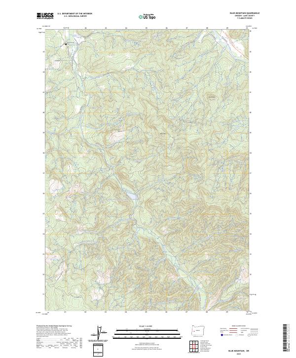
2023 Blue Mountain
Lane County, OR
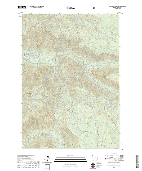
2023 Chucksney Mountain
Lane County, OR
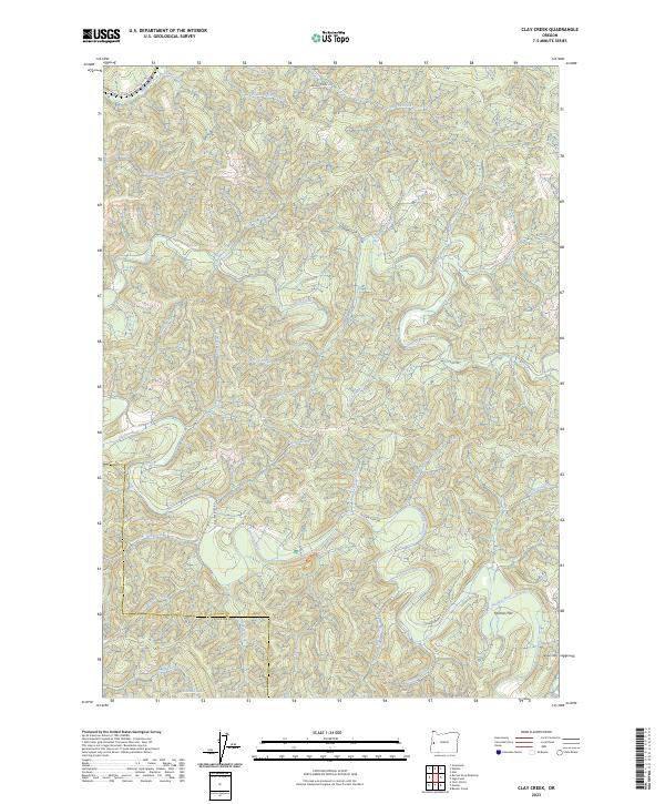
2023 Clay Creek
Lane County, OR
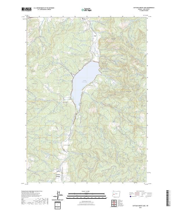
2023 Cottage Grove Lake
Lane County, OR
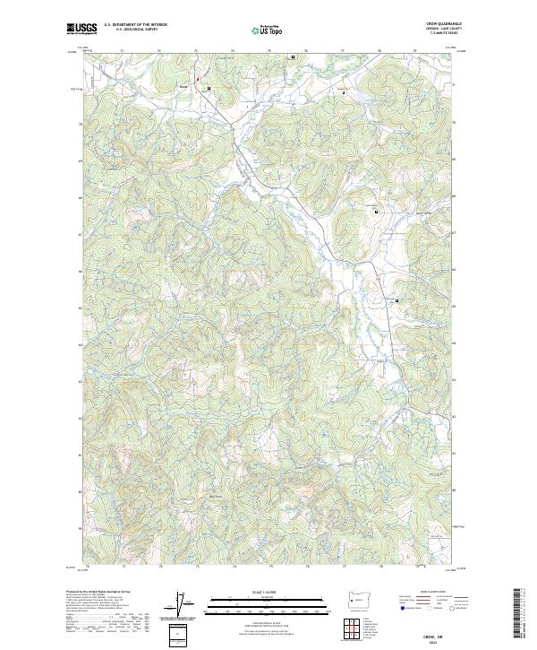
2023 Crow
Lane County, OR
2023 Emigrant Butte
Lane County, OR
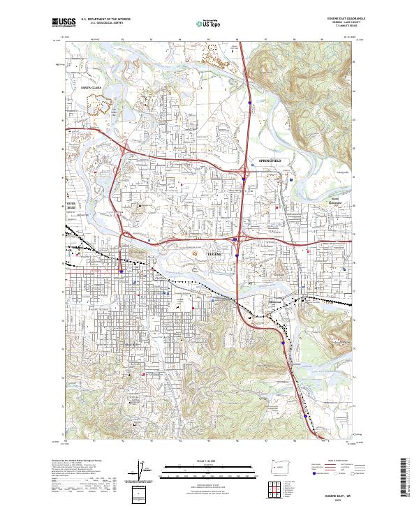
2023 Eugene East
Lane County, OR
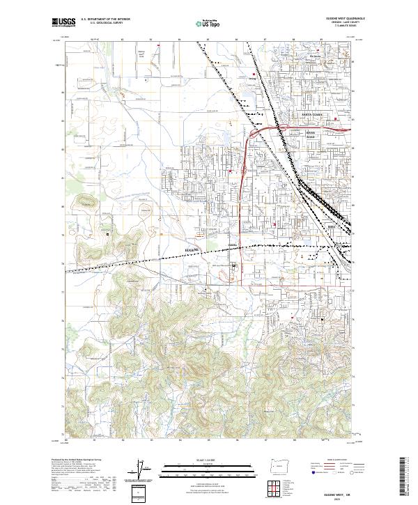
2023 Eugene West
Lane County, OR
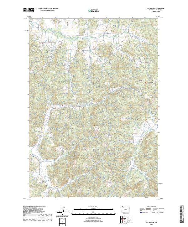
2023 Fox Hollow
Lane County, OR
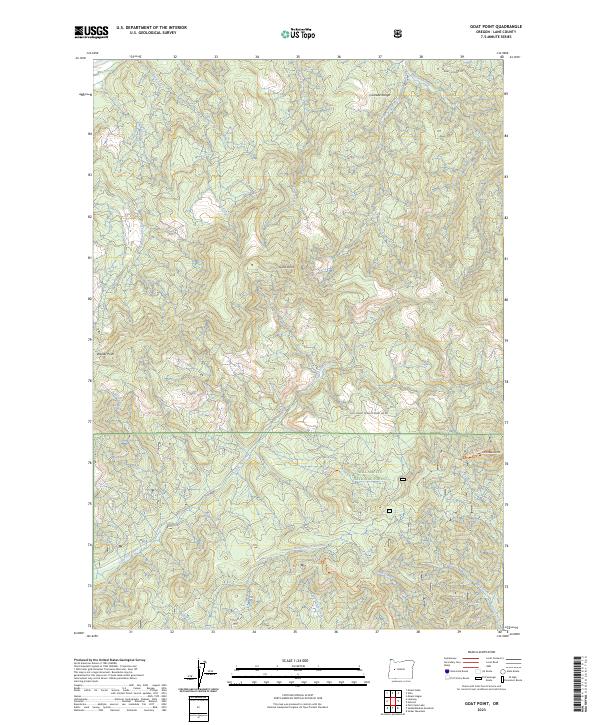
2023 Goat Point
Lane County, OR
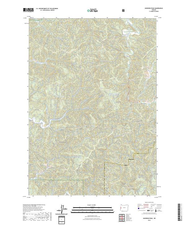
2023 Goodwin Peak
Lane County, OR
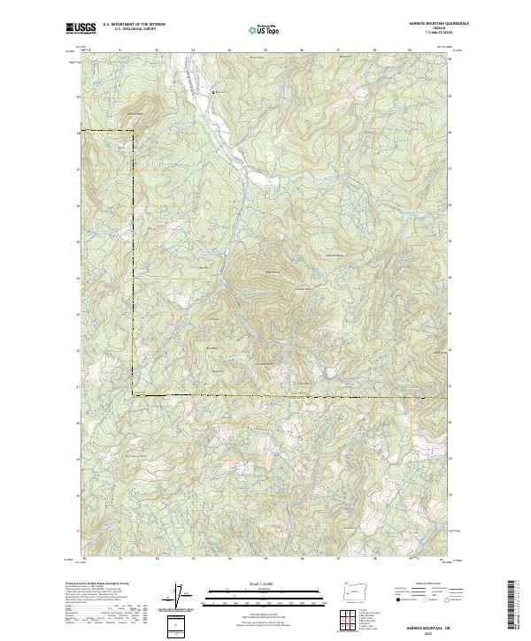
2023 Harness Mountain
Lane County, OR
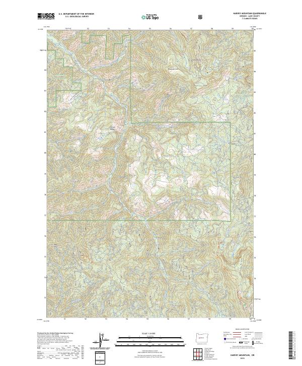
2023 Harvey Mountain
Lane County, OR
2023 Herman Creek
Lane County, OR
2023 High Point
Lane County, OR
2023 Holland Point
Lane County, OR
2023 Kloster Mountain
Lane County, OR
2023 Leaburg
Lane County, OR
2023 Letz Creek
Lane County, OR
2023 Lorane
Lane County, OR
2023 McCredie Springs
Lane County, OR
2023 McKenzie Bridge
Lane County, OR
2023 Mohawk
Lane County, OR
2023 Mount David Douglas
Lane County, OR
2023 Mount Hagan
Lane County, OR
2023 Mount Nebo
Lane County, OR
2023 Nimrod
Lane County, OR
2023 North Sister
Lane County, OR
2023 Noti
Lane County, OR
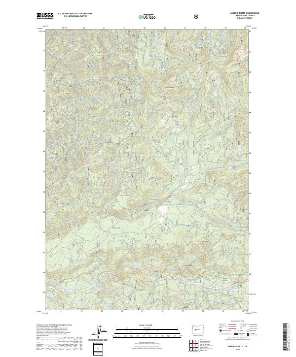
2023 Sardine Butte
Lane County, OR
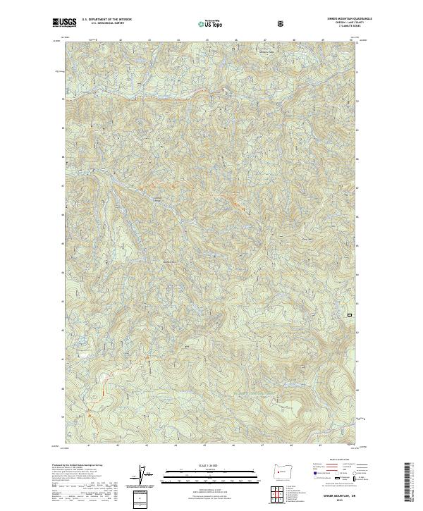
2023 Sinker Mountain
Lane County, OR
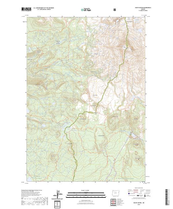
2023 South Sister
Lane County, OR
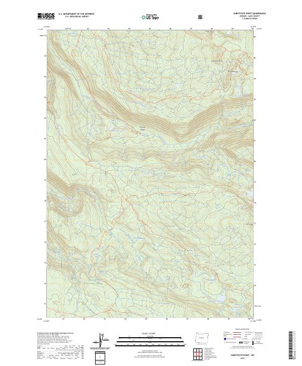
2023 Substitute Point
Lane County, OR
2023 Vida
Lane County, OR
2023 Walterville
Lane County, OR
2023 Walton
Lane County, OR
2023 Westfir East
Lane County, OR
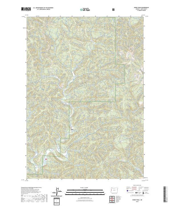
2023 Windy Peak
Lane County, OR
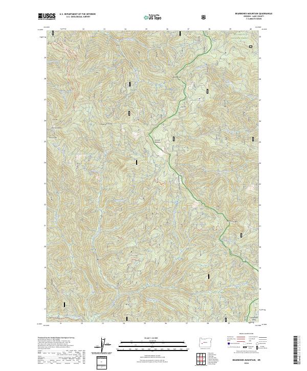
2024 Bearbones Mountain
Lane County, OR
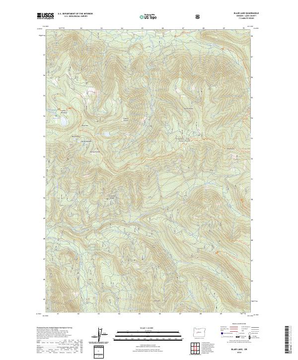
2024 Blair Lake
Lane County, OR
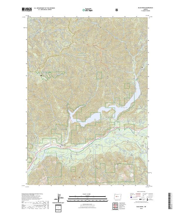
2024 Blue River
Lane County, OR
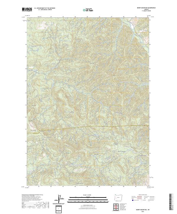
2024 Burnt Mountain
Lane County, OR
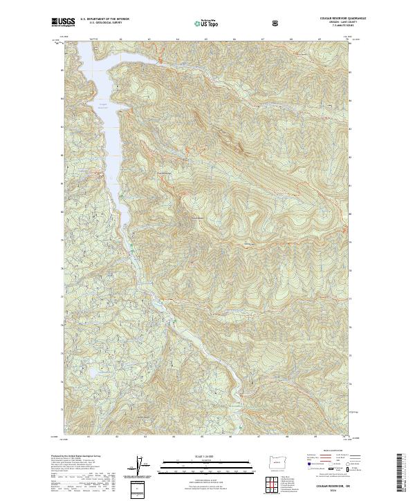
2024 Cougar Reservoir
Lane County, OR
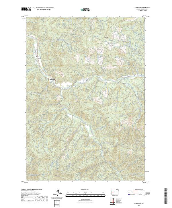
2024 Culp Creek
Lane County, OR
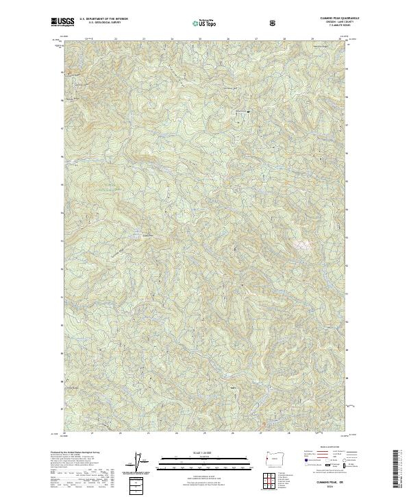
2024 Cummins Peak
Lane County, OR
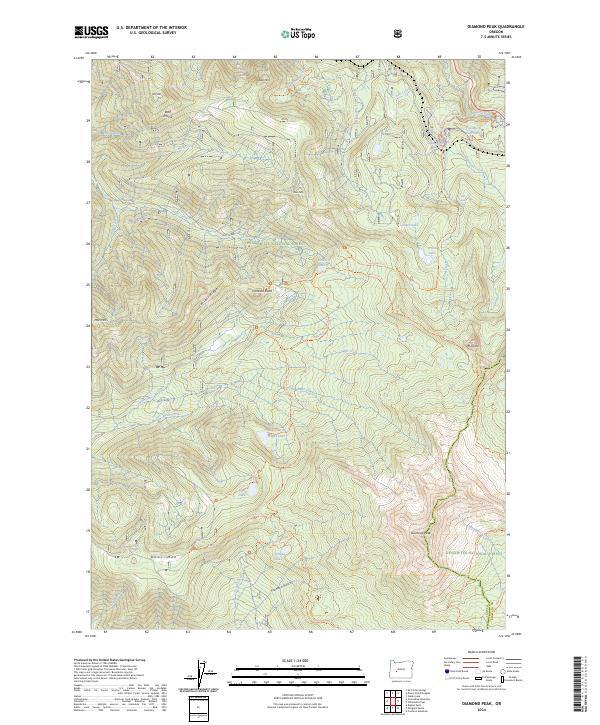
2024 Diamond Peak
Lane County, OR
2024 Dorena Lake
Lane County, OR
2024 Fairview Peak
Lane County, OR
2024 Fall Creek Lake
Lane County, OR
2024 French Mountain
Lane County, OR
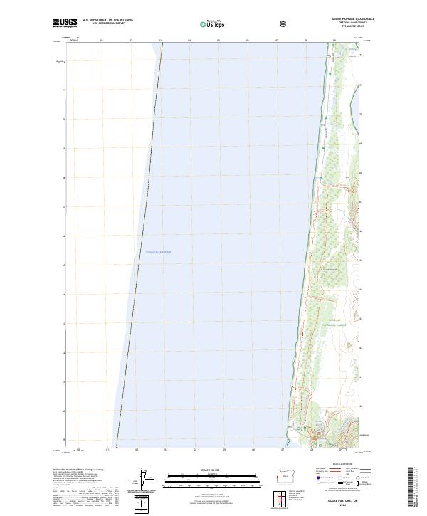
2024 Goose Pasture
Lane County, OR
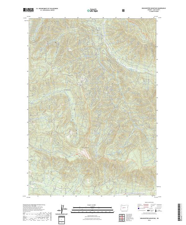
2024 Grasshopper Mountain
Lane County, OR
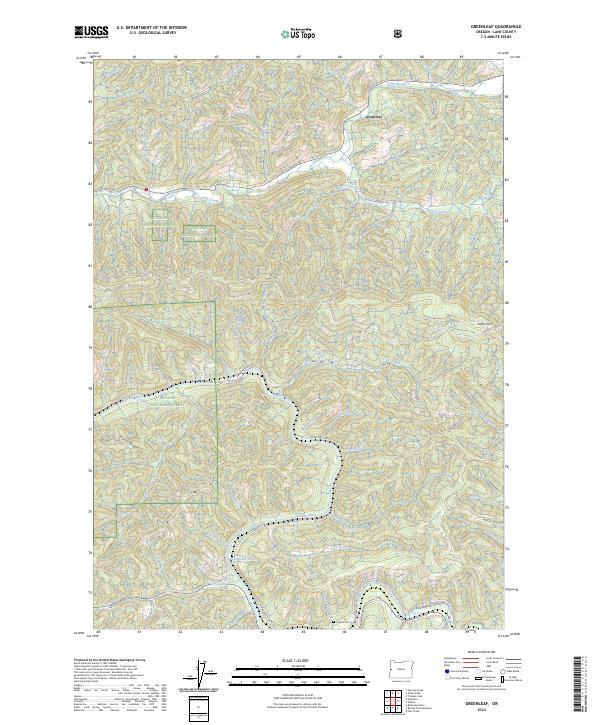
2024 Greenleaf
Lane County, OR
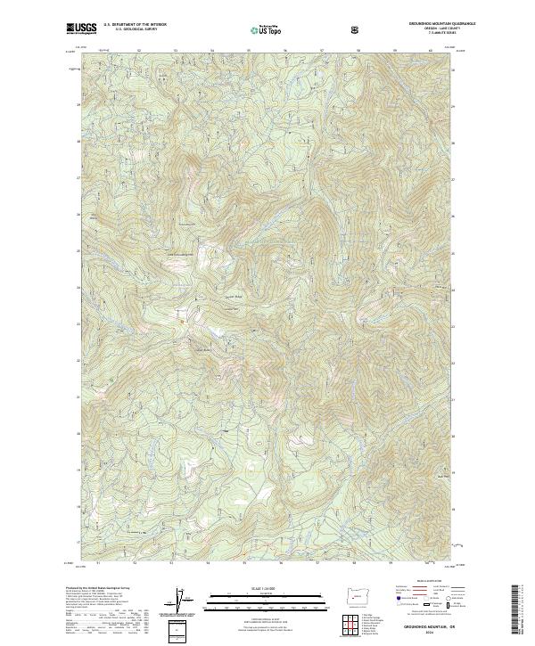
2024 Groundhog Mountain
Lane County, OR
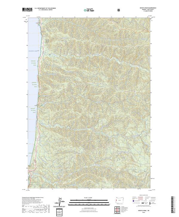
2024 Heceta Head
Lane County, OR
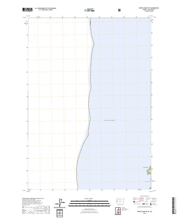
2024 Heceta Head OE W
Lane County, OR
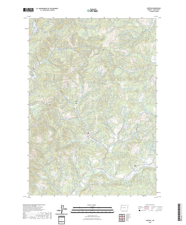
2024 Horton
Lane County, OR
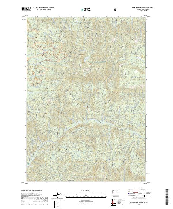
2024 Huckleberry Mountain
Lane County, OR
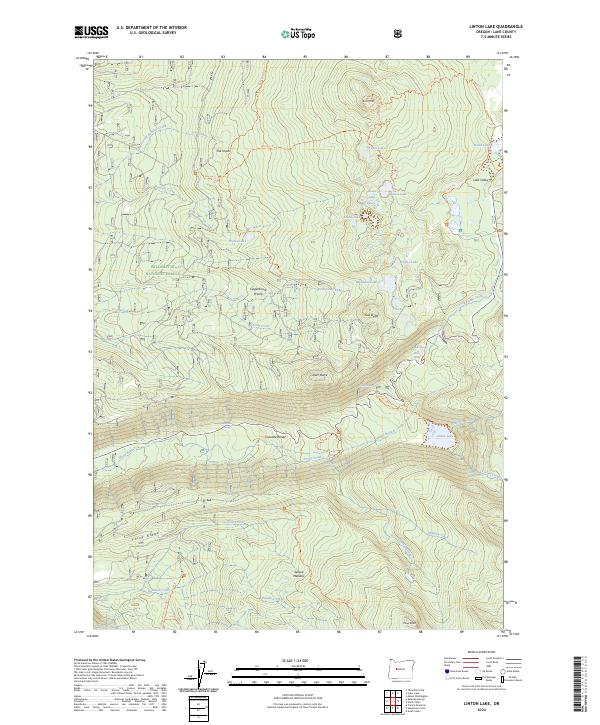
2024 Linton Lake
Lane County, OR
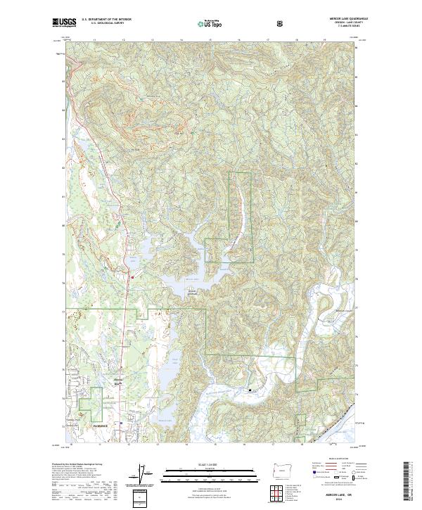
2024 Mercer Lake
Lane County, OR
2024 Mercer Lake OE W
Lane County, OR
2024 Mount June
Lane County, OR
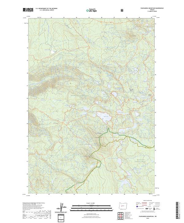
2024 Packsaddle Mountain
Lane County, OR
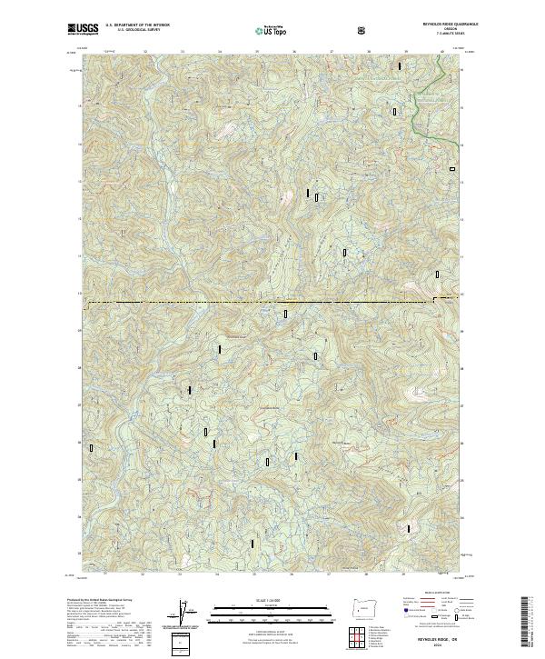
2024 Reynolds Ridge
Lane County, OR
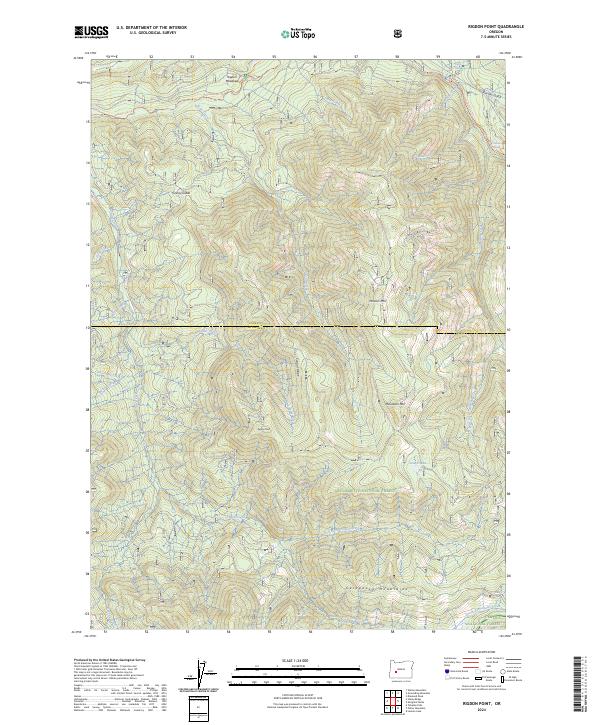
2024 Rigdon Point
Lane County, OR
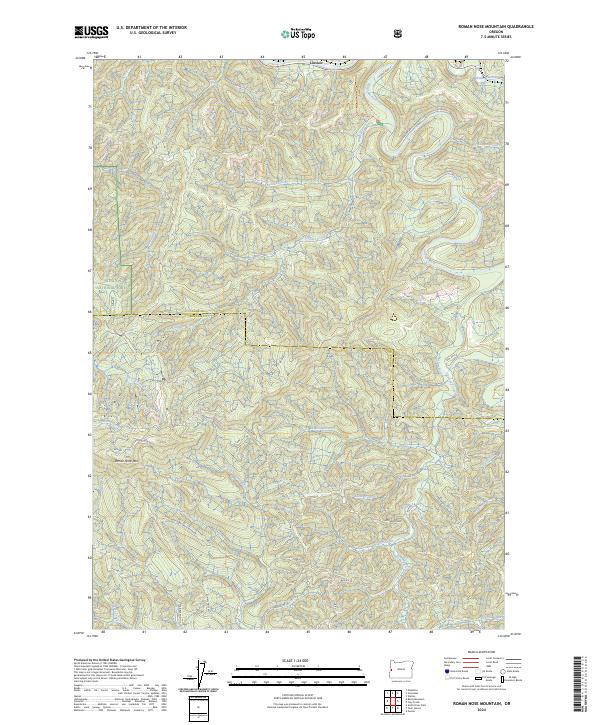
2024 Roman Nose Mountain
Lane County, OR
2024 Rose Hill
Lane County, OR
2024 Saddleblanket Mountain
Lane County, OR
2024 Silica Mountain
Lane County, OR
2024 Staley Ridge
Lane County, OR
2024 Tiernan
Lane County, OR
2024 Triangle Lake
Lane County, OR
2024 Waldo Lake
Lane County, OR
2024 Waldo Mountain
Lane County, OR
2024 Warner Mountain
Lane County, OR
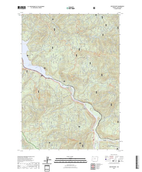
2024 Westfir West
Lane County, OR