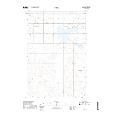
2024 Map of Mandaree SW
USGS Topo · Published 2024About this map
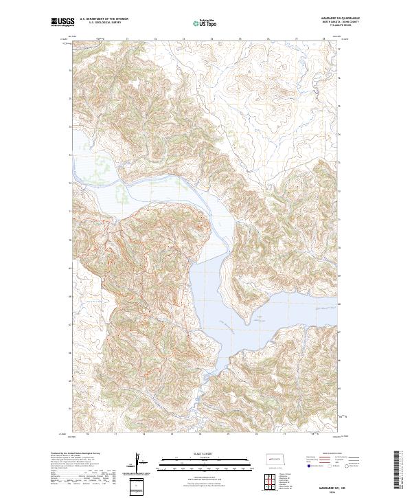
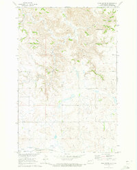
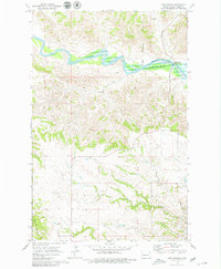
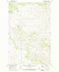
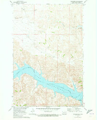
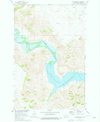
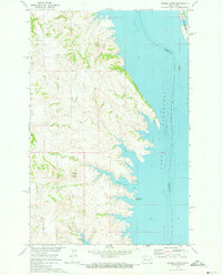
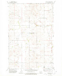
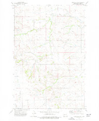
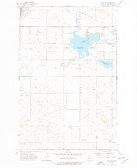
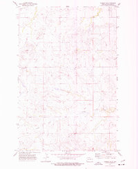
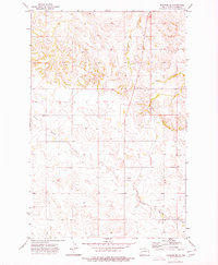
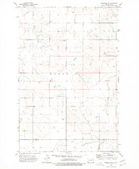
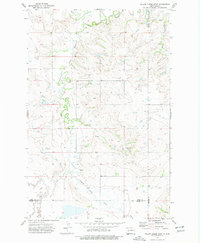
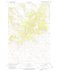
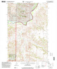
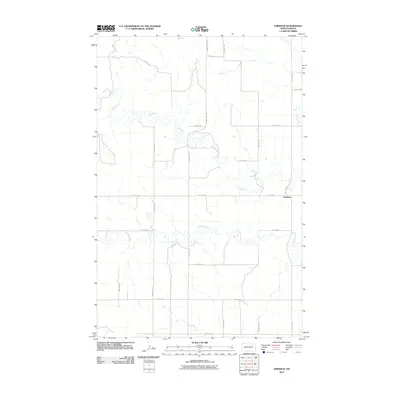
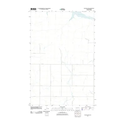
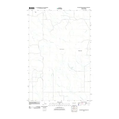
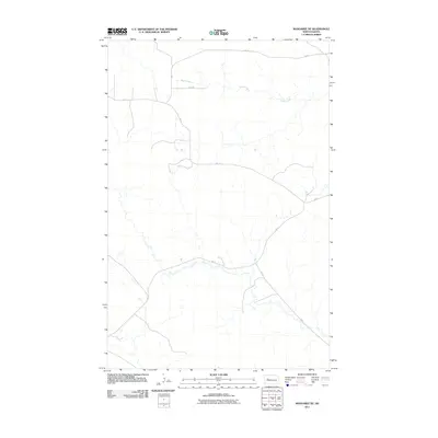
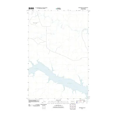
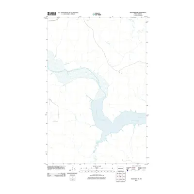
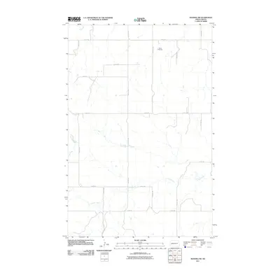
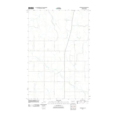
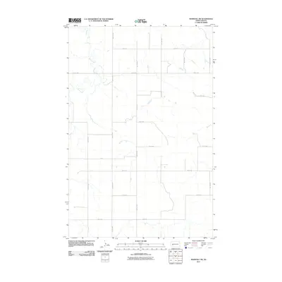
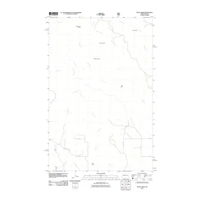
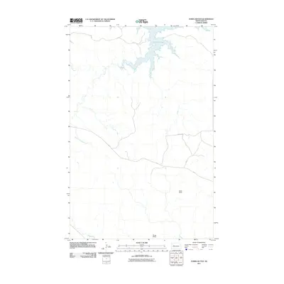
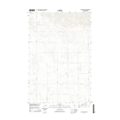
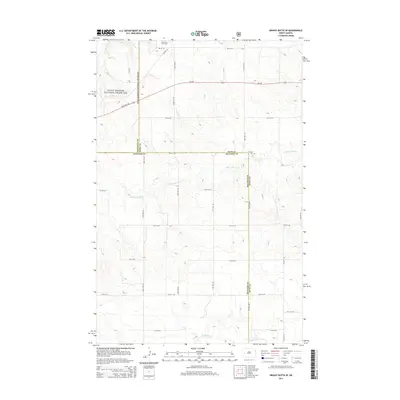
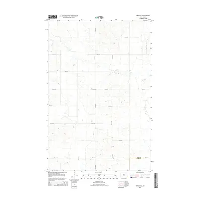
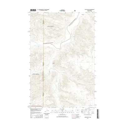
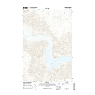
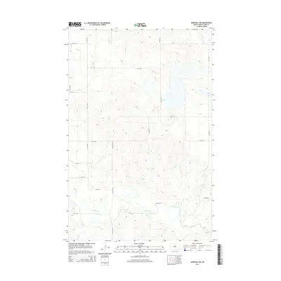
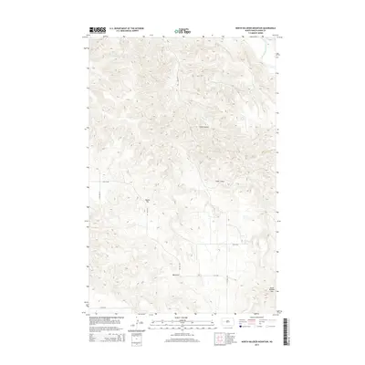
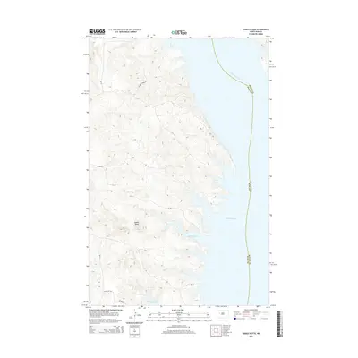
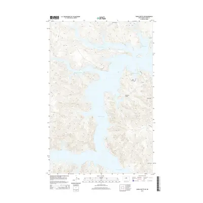
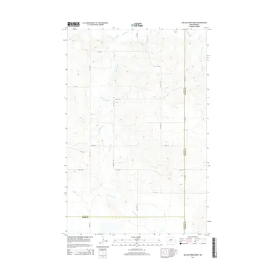
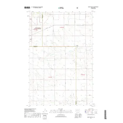
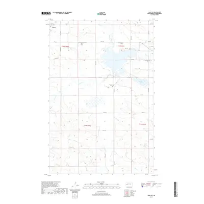
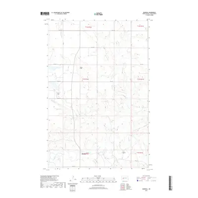
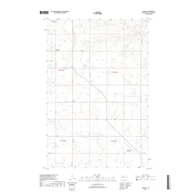
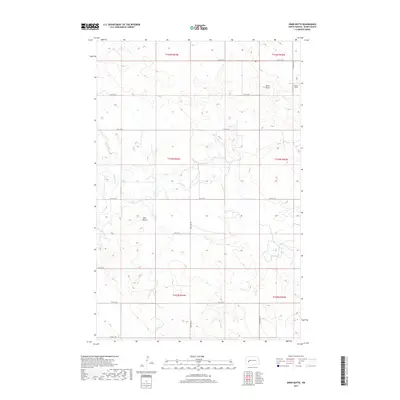
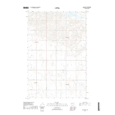
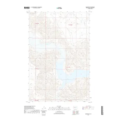
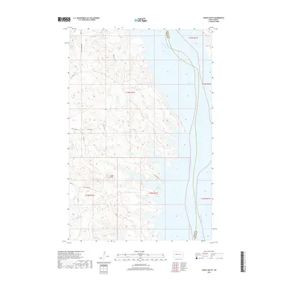
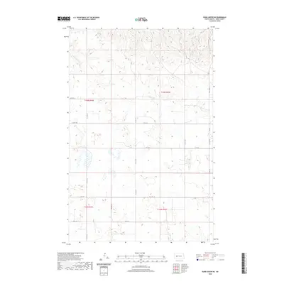
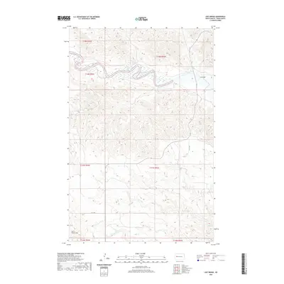
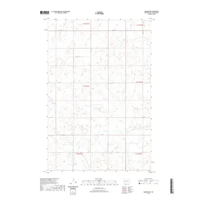
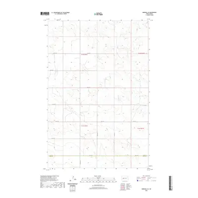
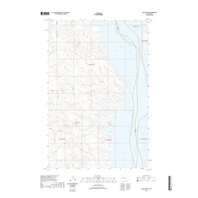
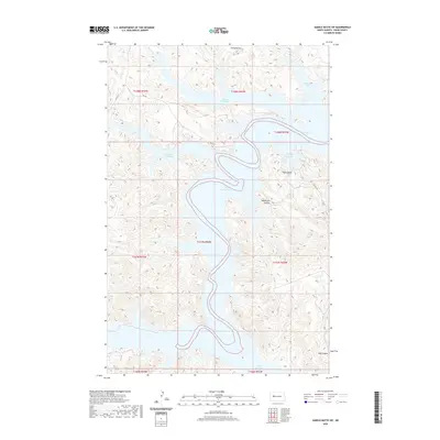
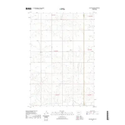
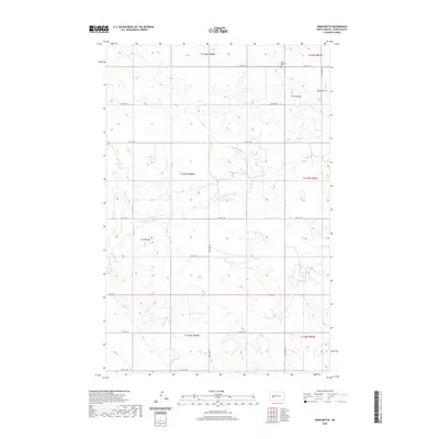
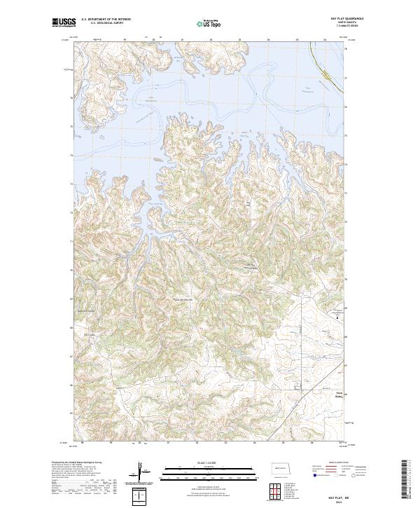
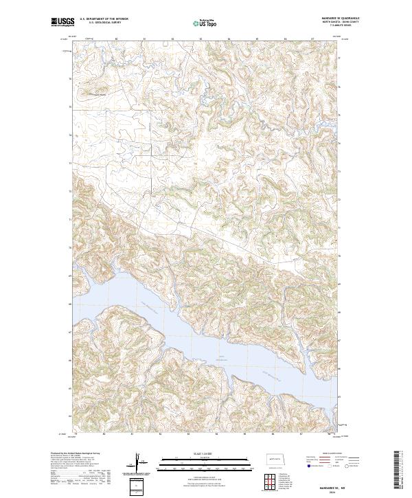
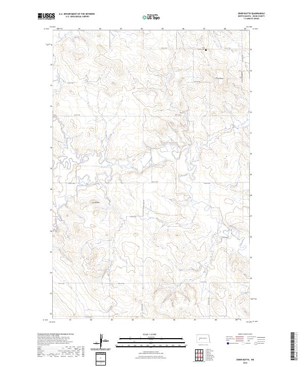
Lake Sakakawea dominates the southeastern quadrant of this map, marking the dramatic confluence where the Little Missouri River enters the reservoir system. This landscape in Dunn County is defined by the complex drainage patterns of the Missouri Plateau, where numerous coulees and draws feed into the river valley. The topography reveals the intricate erosion typical of the North Dakota badlands, with narrow ridges separating the basins of Dry Creek and Jim Creek. This modern survey illustrates the current shoreline of the lake and the winding, braided channel of the river upstream. The absence of named towns emphasizes the rural, undeveloped character of this section of the Mandaree SW area, where the primary human footprint is found in the section lines and township boundaries of the Public Land Survey System.
Find a feature on this map
10 named features on this map. Tap any name to fly to it.
Don’t see what you’re looking for? This feature index may not catch every label — zoom into the map to look around manually.
Map Details
Editions of this 2024 Mandaree SW Map
This is the sole edition of this map. No revisions or reprints were ever made.
Historical Maps of Mandaree Through Time
210 maps found
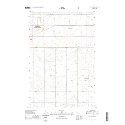
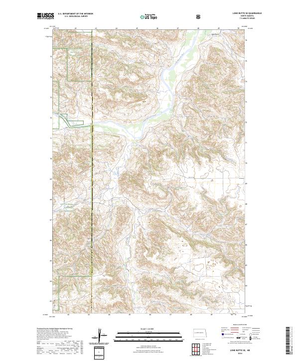
1958 Lone Butte SE
Dunn County, ND
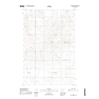
1958 North Killdeer Mountain
Dunn County, ND
1970 Dunn Center NE
Dunn County, ND
1970 Dunn Center NW
Dunn County, ND
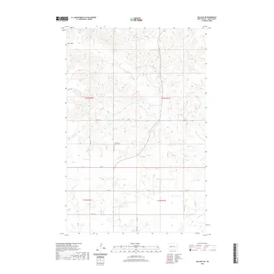
1970 Halliday NE
Dunn County, ND
1970 Halliday NW
Dunn County, ND
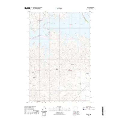
1970 Hay Flat
Dunn County, ND
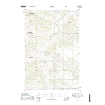
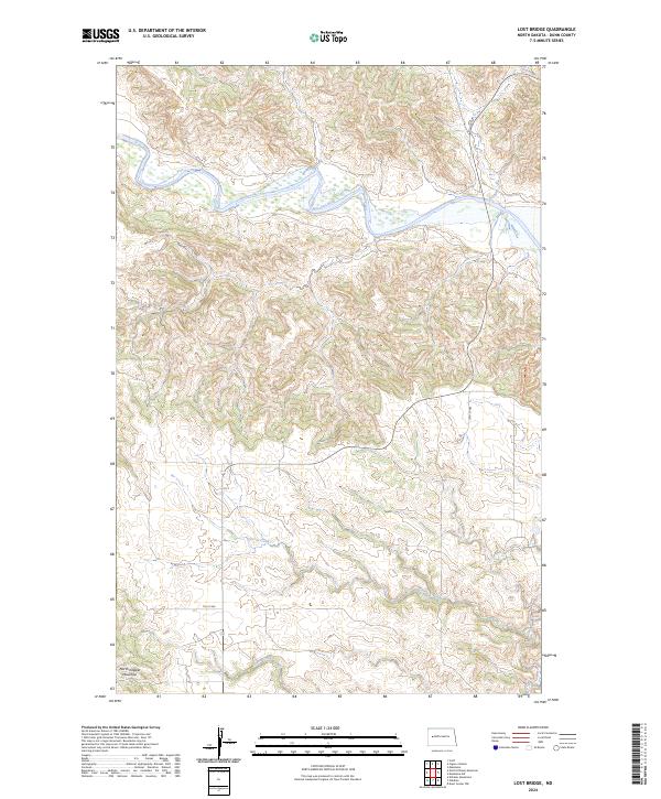
1970 Lost Bridge
Dunn County, ND
1970 Mandaree NE
Dunn County, ND
1970 Mandaree SE
Dunn County, ND
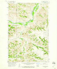
1970 Mandaree SW
Dunn County, ND
1970 Saddle Butte
Dunn County, ND
1970 Saddle Butte SW
Dunn County, ND
1970 String Buttes
Dunn County, ND
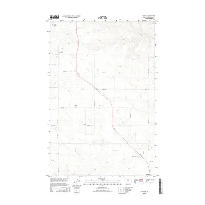
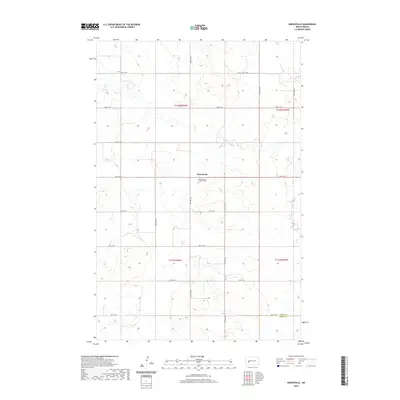
1973 Emerson
Dunn County, ND
1973 Hirschville
Dunn County, ND
1973 Hirschville SW
Dunn County, ND
1973 Lake Ilo
Dunn County, ND
1973 Manning NW
Dunn County, ND
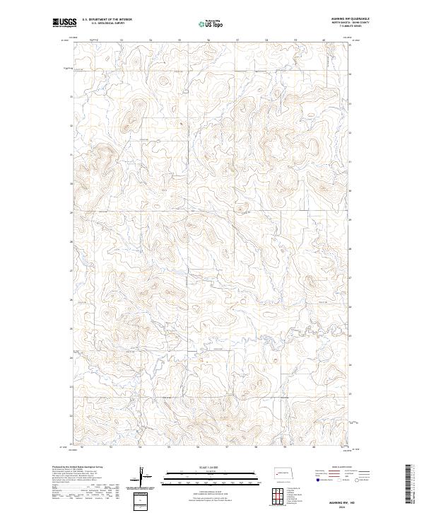
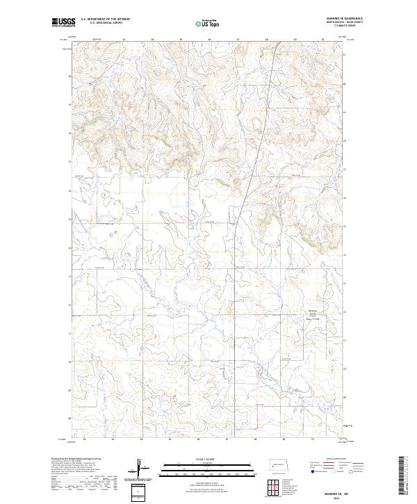
1973 Manning SE
Dunn County, ND
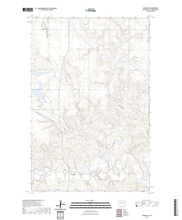
1973 Marshall
Dunn County, ND
1973 Marshall NW
Dunn County, ND
1973 Marshall SE
Dunn County, ND
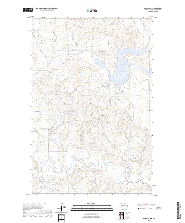
1973 Marshall SW
Dunn County, ND
1973 New Hradec North
Dunn County, ND
1973 Schaffner Creek
Dunn County, ND
1973 Werner
Dunn County, ND
1973 Willow Creek West
Dunn County, ND
1973 Ziner Butte
Dunn County, ND
1974 Fayette
Dunn County, ND
1974 Grassy Butte SE
Dunn County, ND
1974 Killdeer Mountains
Dunn County, ND
1974 Oakdale
Dunn County, ND
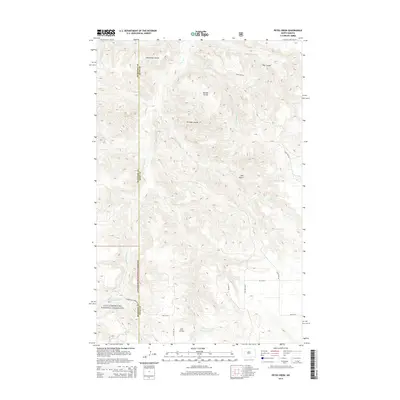
1974 Petes Creek
Dunn County, ND
1997 Grassy Butte SE
Dunn County, ND
1997 Lone Butte SE
Dunn County, ND
1997 Petes Creek
Dunn County, ND
2011 Dunn Center NE
Dunn County, ND
2011 Dunn Center NW
Dunn County, ND
2011 Emerson
Dunn County, ND
2011 Fayette
Dunn County, ND
2011 Grassy Butte SE
Dunn County, ND
2011 Halliday NE
Dunn County, ND
2011 Halliday NW
Dunn County, ND
2011 Hay Flat
Dunn County, ND
2011 Hirschville
Dunn County, ND
2011 Hirschville SW
Dunn County, ND
2011 Killdeer Mountains
Dunn County, ND
2011 Lake Ilo
Dunn County, ND
2011 Lone Butte SE
Dunn County, ND
2011 Lost Bridge
Dunn County, ND
2011 Mandaree NE
Dunn County, ND
2011 Mandaree SE
Dunn County, ND
2011 Mandaree SW
Dunn County, ND
2011 Manning NW
Dunn County, ND
2011 Manning SE
Dunn County, ND
2011 Marshall
Dunn County, ND
2011 Marshall NW
Dunn County, ND
2011 Marshall SE
Dunn County, ND
2011 Marshall SW
Dunn County, ND
2011 New Hradec North
Dunn County, ND
2011 North Killdeer Mountain
Dunn County, ND
2011 Oakdale
Dunn County, ND
2011 Petes Creek
Dunn County, ND
2011 Saddle Butte
Dunn County, ND
2011 Saddle Butte SW
Dunn County, ND
2011 Schaffner Creek
Dunn County, ND
2011 String Buttes
Dunn County, ND
2011 Werner
Dunn County, ND
2011 Willow Creek West
Dunn County, ND
2011 Ziner Butte
Dunn County, ND
2014 Dunn Center NE
Dunn County, ND
2014 Dunn Center NW
Dunn County, ND
2014 Emerson
Dunn County, ND
2014 Fayette
Dunn County, ND
2014 Grassy Butte SE
Dunn County, ND
2014 Halliday NE
Dunn County, ND
2014 Halliday NW
Dunn County, ND
2014 Hay Flat
Dunn County, ND
2014 Hirschville
Dunn County, ND
2014 Hirschville SW
Dunn County, ND
2014 Killdeer Mountains
Dunn County, ND
2014 Lake Ilo
Dunn County, ND
2014 Lone Butte SE
Dunn County, ND
2014 Lost Bridge
Dunn County, ND
2014 Mandaree NE
Dunn County, ND
2014 Mandaree SE
Dunn County, ND
2014 Mandaree SW
Dunn County, ND
2014 Manning NW
Dunn County, ND
2014 Manning SE
Dunn County, ND
2014 Marshall
Dunn County, ND
2014 Marshall NW
Dunn County, ND
2014 Marshall SE
Dunn County, ND
2014 Marshall SW
Dunn County, ND
2014 New Hradec North
Dunn County, ND
2014 North Killdeer Mountain
Dunn County, ND
2014 Oakdale
Dunn County, ND
2014 Petes Creek
Dunn County, ND
2014 Saddle Butte
Dunn County, ND
2014 Saddle Butte SW
Dunn County, ND
2014 Schaffner Creek
Dunn County, ND
2014 String Buttes
Dunn County, ND
2014 Werner
Dunn County, ND
2014 Willow Creek West
Dunn County, ND
2014 Ziner Butte
Dunn County, ND
2017 Emerson
Dunn County, ND
2017 Fayette
Dunn County, ND
2017 Grassy Butte SE
Dunn County, ND
2017 Hirschville
Dunn County, ND
2017 Hirschville SW
Dunn County, ND
2017 Killdeer Mountains
Dunn County, ND
2017 Lake Ilo
Dunn County, ND
2017 Lone Butte SE
Dunn County, ND
2017 Mandaree SE
Dunn County, ND
2017 Manning SE
Dunn County, ND
2017 Marshall
Dunn County, ND
2017 Marshall NW
Dunn County, ND
2017 Marshall SE
Dunn County, ND
2017 Marshall SW
Dunn County, ND
2017 Oakdale
Dunn County, ND
2017 Petes Creek
Dunn County, ND
2017 Schaffner Creek
Dunn County, ND
2017 Willow Creek West
Dunn County, ND
2017 Ziner Butte
Dunn County, ND
2018 Dunn Center NE
Dunn County, ND
2018 Dunn Center NW
Dunn County, ND
2018 Halliday NE
Dunn County, ND
2018 Halliday NW
Dunn County, ND
2018 Hay Flat
Dunn County, ND
2018 Lost Bridge
Dunn County, ND
2018 Mandaree NE
Dunn County, ND
2018 Mandaree SW
Dunn County, ND
2018 Manning NW
Dunn County, ND
2018 New Hradec North
Dunn County, ND
2018 North Killdeer Mountain
Dunn County, ND
2018 Saddle Butte
Dunn County, ND
2018 Saddle Butte SW
Dunn County, ND
2018 String Buttes
Dunn County, ND
2018 Werner
Dunn County, ND
2020 Dunn Center NE
Dunn County, ND
2020 Dunn Center NW
Dunn County, ND
2020 Emerson
Dunn County, ND
2020 Fayette
Dunn County, ND
2020 Grassy Butte SE
Dunn County, ND
2020 Halliday NE
Dunn County, ND

2020 Halliday NW
Dunn County, ND
2020 Hay Flat
Dunn County, ND
2020 Hirschville
Dunn County, ND
2020 Hirschville SW
Dunn County, ND
2020 Killdeer Mountains
Dunn County, ND
2020 Lake Ilo
Dunn County, ND
2020 Lone Butte SE
Dunn County, ND
2020 Lost Bridge
Dunn County, ND
2020 Mandaree NE
Dunn County, ND
2020 Mandaree SE
Dunn County, ND
2020 Mandaree SW
Dunn County, ND
2020 Manning NW
Dunn County, ND
2020 Manning SE
Dunn County, ND
2020 Marshall
Dunn County, ND
2020 Marshall NW
Dunn County, ND
2020 Marshall SE
Dunn County, ND
2020 Marshall SW
Dunn County, ND
2020 New Hradec North
Dunn County, ND
2020 North Killdeer Mountain
Dunn County, ND
2020 Oakdale
Dunn County, ND
2020 Petes Creek
Dunn County, ND
2020 Saddle Butte
Dunn County, ND
2020 Saddle Butte SW
Dunn County, ND
2020 Schaffner Creek
Dunn County, ND
2020 String Buttes
Dunn County, ND
2020 Werner
Dunn County, ND
2020 Willow Creek West
Dunn County, ND
2020 Ziner Butte
Dunn County, ND
2023 Mandaree NE
Dunn County, ND
2023 Saddle Butte SW
Dunn County, ND
2023 String Buttes
Dunn County, ND
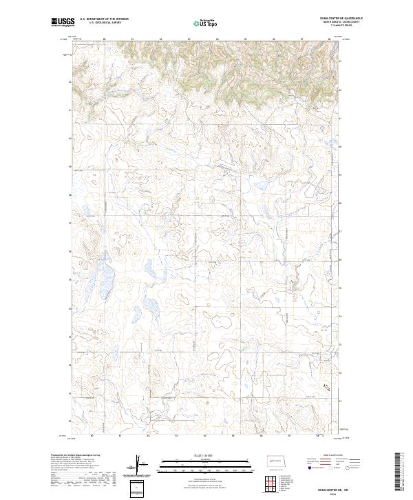
2024 Dunn Center NE
Dunn County, ND
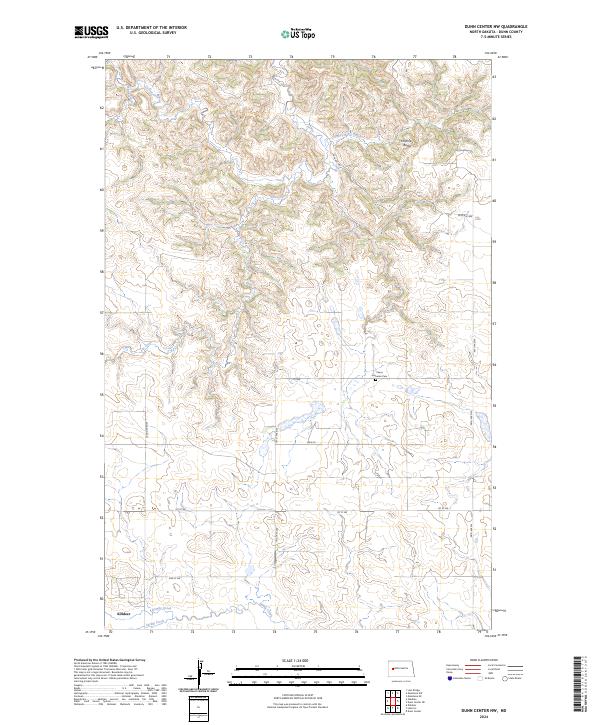
2024 Dunn Center NW
Dunn County, ND
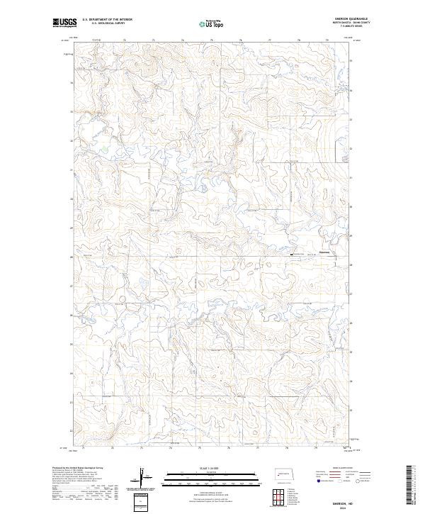
2024 Emerson
Dunn County, ND
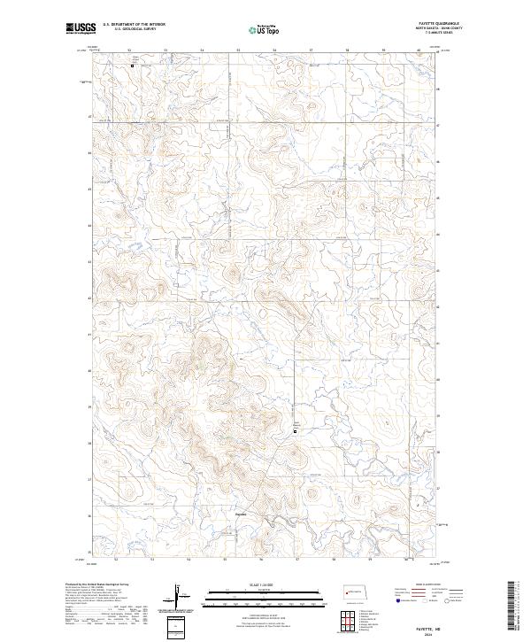
2024 Fayette
Dunn County, ND
2024 Grassy Butte SE
Dunn County, ND
2024 Halliday NE
Dunn County, ND
2024 Halliday NW
Dunn County, ND
2024 Hay Flat
Dunn County, ND
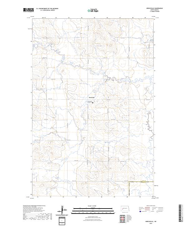
2024 Hirschville
Dunn County, ND
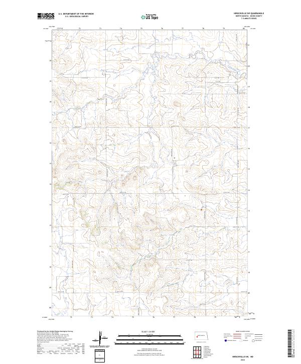
2024 Hirschville SW
Dunn County, ND
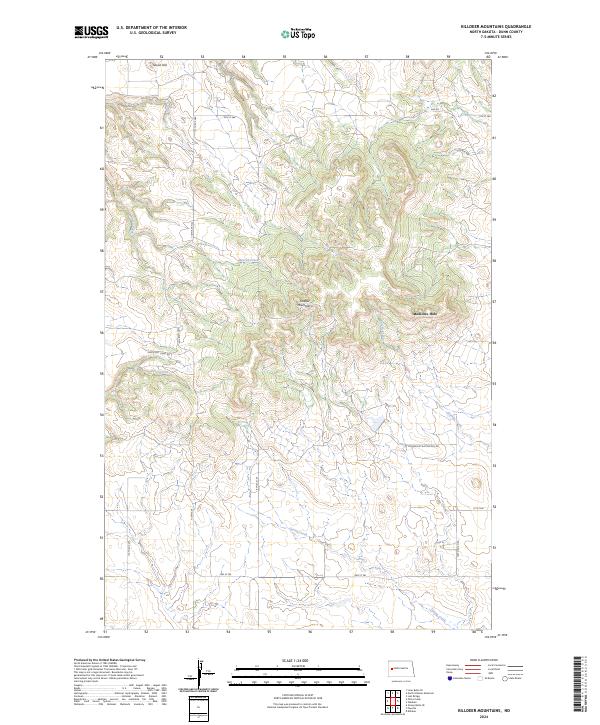
2024 Killdeer Mountains
Dunn County, ND
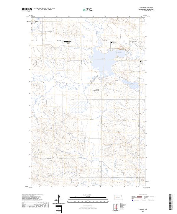
2024 Lake Ilo
Dunn County, ND
2024 Lone Butte SE
Dunn County, ND
2024 Lost Bridge
Dunn County, ND
2024 Mandaree NE
Dunn County, ND
2024 Mandaree SE
Dunn County, ND
2024 Mandaree SW
Dunn County, ND
2024 Manning NW
Dunn County, ND
2024 Manning SE
Dunn County, ND
2024 Marshall
Dunn County, ND
2024 Marshall NW
Dunn County, ND
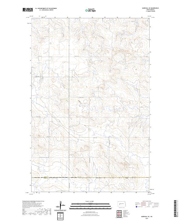
2024 Marshall SE
Dunn County, ND
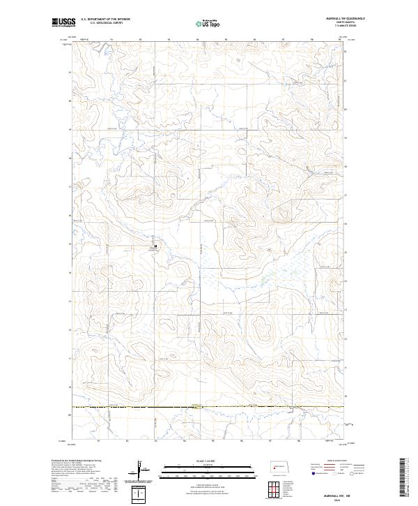
2024 Marshall SW
Dunn County, ND
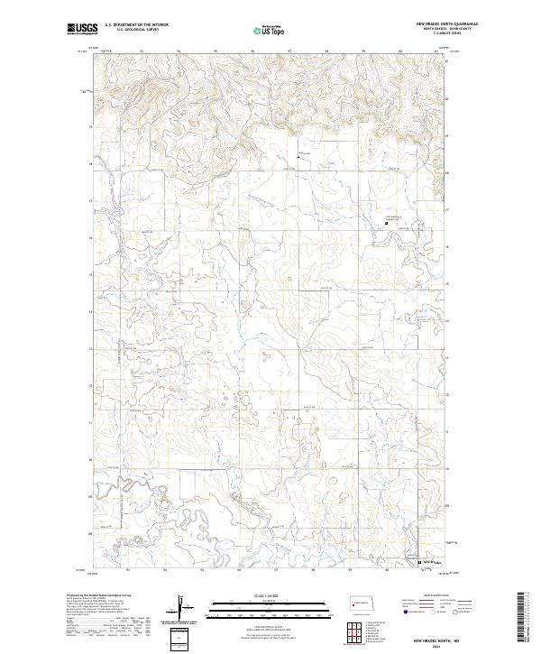
2024 New Hradec North
Dunn County, ND
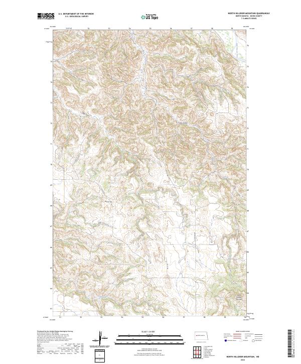
2024 North Killdeer Mountain
Dunn County, ND
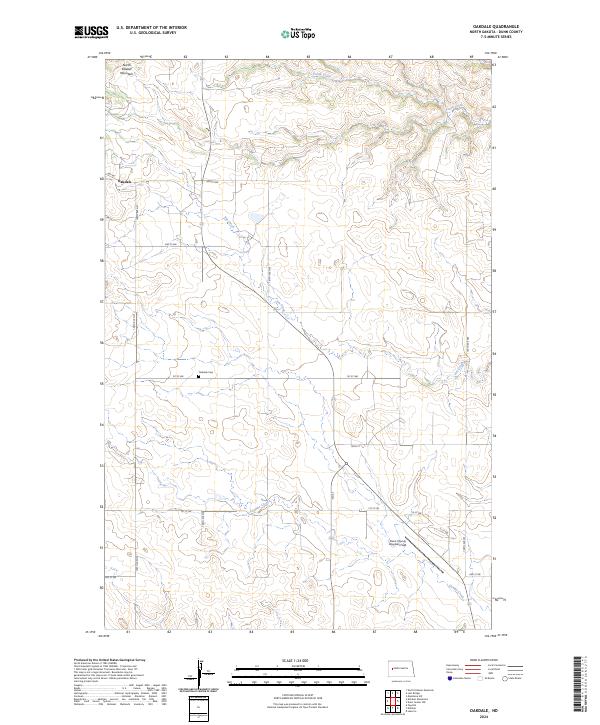
2024 Oakdale
Dunn County, ND
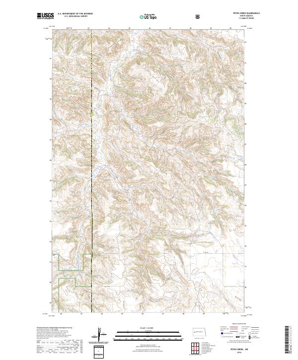
2024 Petes Creek
Dunn County, ND
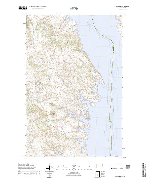
2024 Saddle Butte
Dunn County, ND
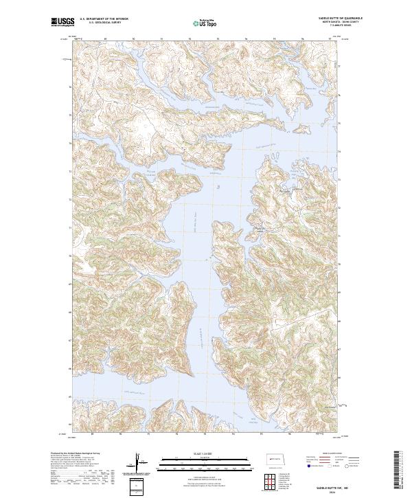
2024 Saddle Butte SW
Dunn County, ND
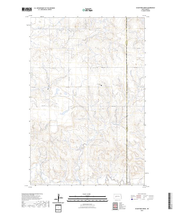
2024 Schaffner Creek
Dunn County, ND
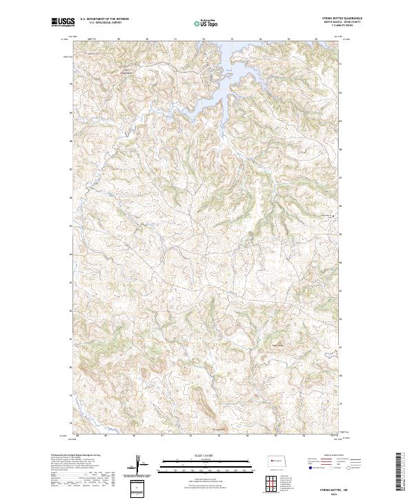
2024 String Buttes
Dunn County, ND
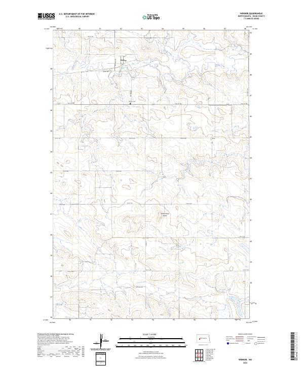
2024 Werner
Dunn County, ND
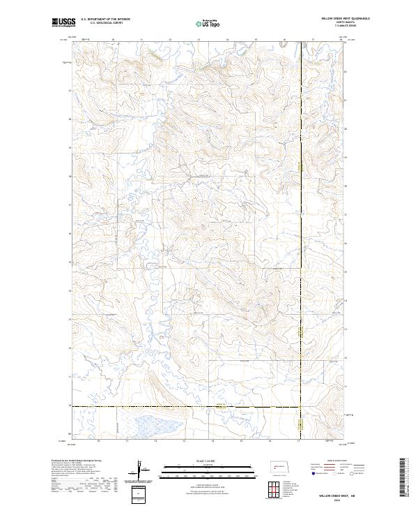
2024 Willow Creek West
Dunn County, ND
2024 Ziner Butte
Dunn County, ND