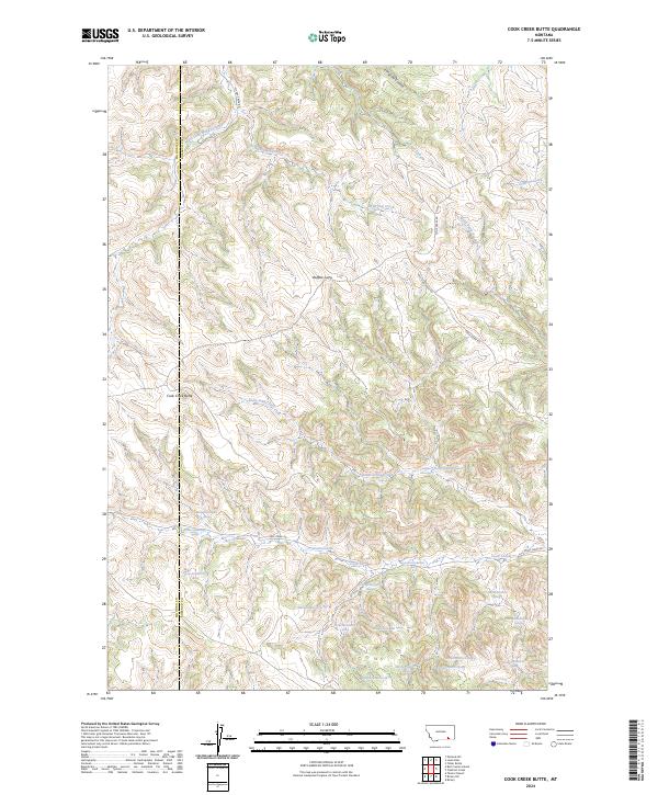
2024 Map of Cook Creek Butte
USGS Topo · Published 2024About this map
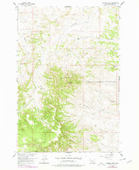
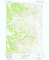
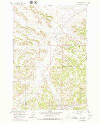
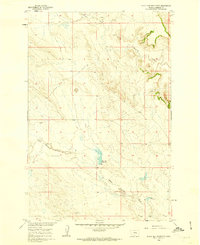
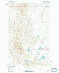
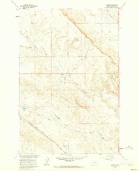
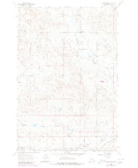
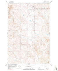
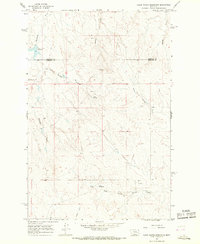
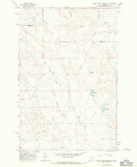
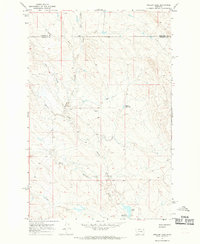
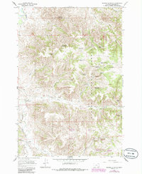
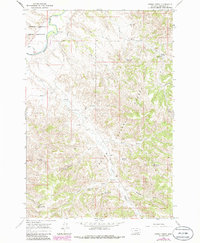
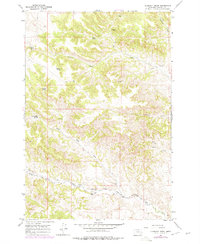
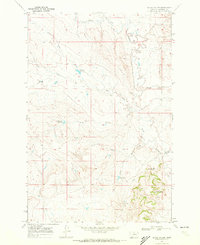
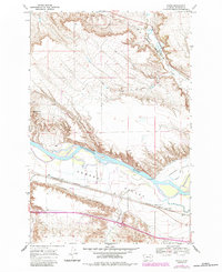
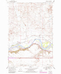
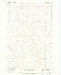
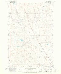
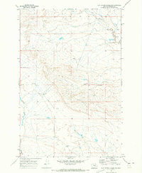
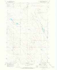
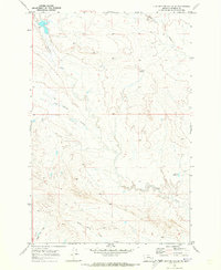
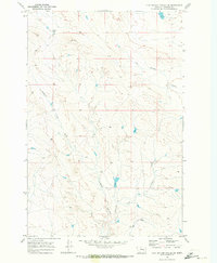
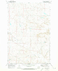
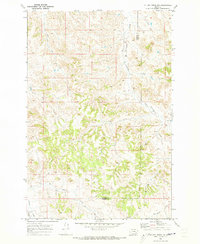
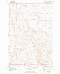
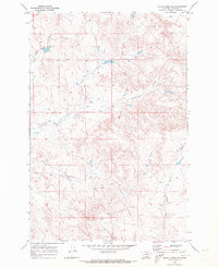
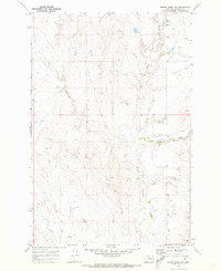
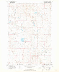
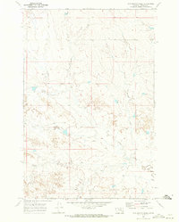
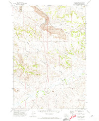
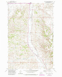
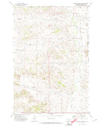
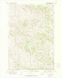
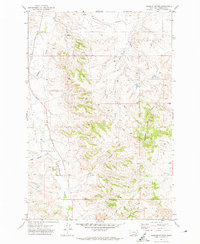
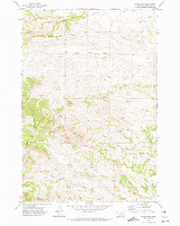
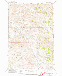
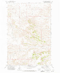
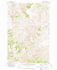
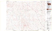
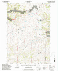
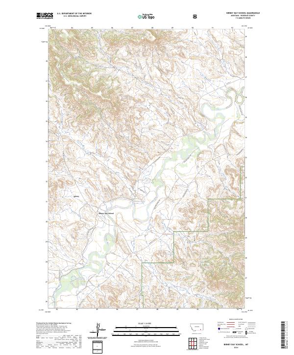
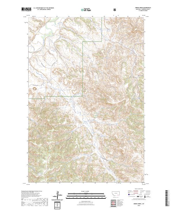
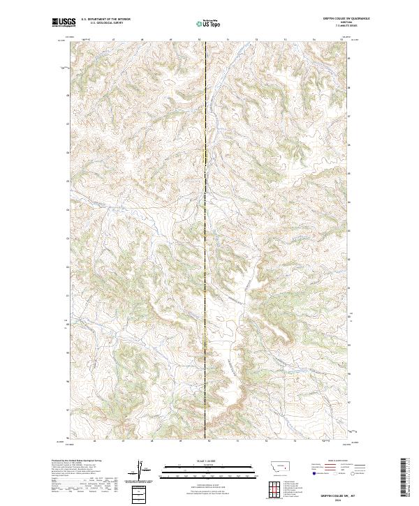
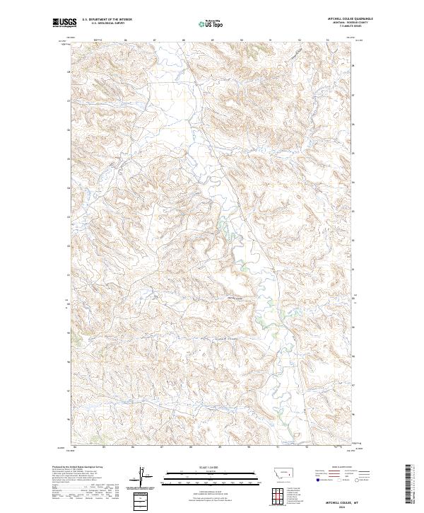
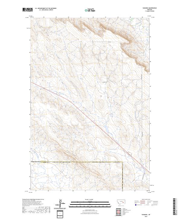
Buffalo Jump stands as a prominent archaeological landmark in this section of the Montana high plains, marking a site used for ancient bison hunting. The landscape is defined by the high point of Cook Creek Butte and the winding drainages of East Fork Muddy Creek and Wild Hog Creek. The 2024 survey documents the rugged county line between Big Horn Co and Rosebud Co, where the land is primarily characterized by natural water sources such as Saint Johns Spring. The intricate network of coulees and forks, including Longjaw Coulee and Black Eagle Fork, suggests a landscape where movement follows the natural contours of the stream beds. These drainages, such as Clubfoot Creek and Paddy Creek, provide vital water in a region defined by its sprawling, open-range topography and sparse road network along Cook Creek Rd.
Find a feature on this map
36 named features on this map. Tap any name to fly to it.
Don’t see what you’re looking for? This feature index may not catch every label — zoom into the map to look around manually.
Map Details
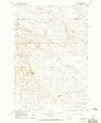
Editions of this 2024 Cook Creek Butte Map
This is the sole edition of this map. No revisions or reprints were ever made.
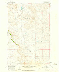
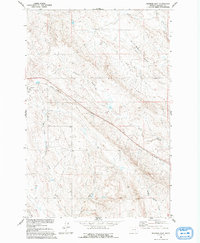
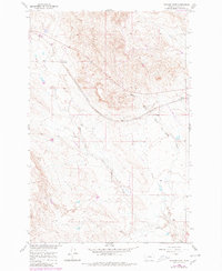
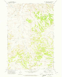
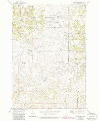
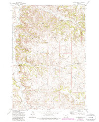
Historical Maps of Muddy District Through Time
197 maps found
1958 Badger Peak
Rosebud County, MT
1958 Black Spring
Rosebud County, MT
1958 Fisher Butte
Rosebud County, MT
1958 Garfield Peak
Rosebud County, MT
1958 Hollowwood Creek
Rosebud County, MT
1958 Jimtown
Rosebud County, MT
1960 Black Sea Reservoir
Rosebud County, MT
1960 Brown Coulee
Rosebud County, MT
1960 Hagen Ranch
Rosebud County, MT
1960 Ingomar East
Rosebud County, MT
1960 Ingomar West
Rosebud County, MT
1960 Thebes
Rosebud County, MT
1960 Vananda
Rosebud County, MT
1960 Yablonski Ranch
Rosebud County, MT
1960 Zempel Lake
Rosebud County, MT
1962 Grebe Ranch
Rosebud County, MT
1962 Guthridge Ranch
Rosebud County, MT
1962 Kincheloe Ranch
Rosebud County, MT
1962 Mosby SE
Rosebud County, MT
1962 Sumatra
Rosebud County, MT
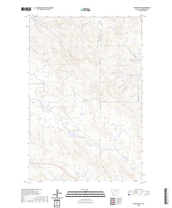
1963 Hecker Ranch
Rosebud County, MT
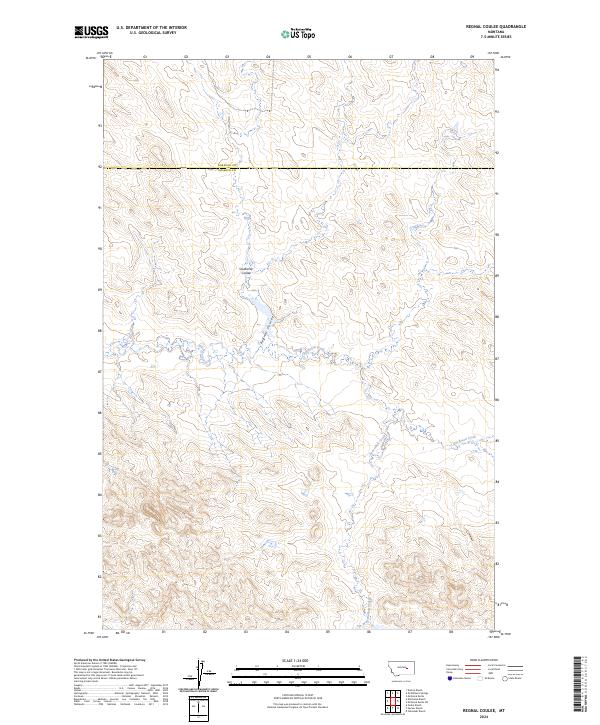
1963 Regnal Coulee
Rosebud County, MT
1965 Acorn Flats
Rosebud County, MT
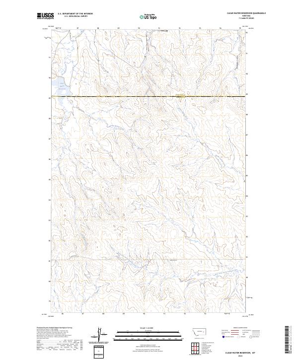
1965 Clear Water Reservoir
Rosebud County, MT
1965 Hole-In-The-Rock
Rosebud County, MT
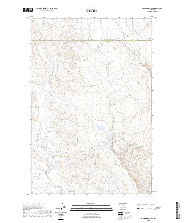
1965 Mc Ginnis Butte SE
Rosebud County, MT
1965 Mc Ginnis Butte SW
Rosebud County, MT
1965 Needle Butte Reservoir
Rosebud County, MT
1965 Needle Butte
Rosebud County, MT
1965 Red Buttes
Rosebud County, MT
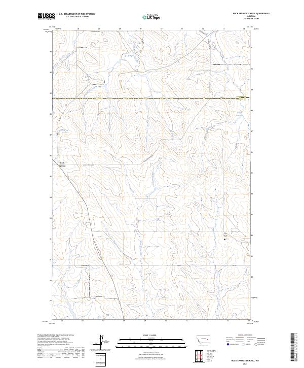
1965 Rock Springs School
Rosebud County, MT
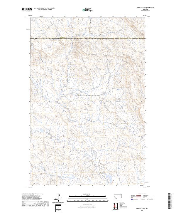
1965 Stellar Lake
Rosebud County, MT
1965 Vanstel
Rosebud County, MT
1966 Ashland NE
Rosebud County, MT
1966 Birney Day School
Rosebud County, MT
1966 Browns Mountain
Rosebud County, MT
1966 Green Creek
Rosebud County, MT
1966 Poker Jim Butte
Rosebud County, MT
1967 Birney SW
Rosebud County, MT
1967 Clubfoot Creek
Rosebud County, MT
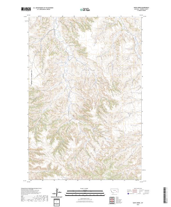
1967 Cook Creek Butte
Rosebud County, MT
1967 Lacey Gulch
Rosebud County, MT
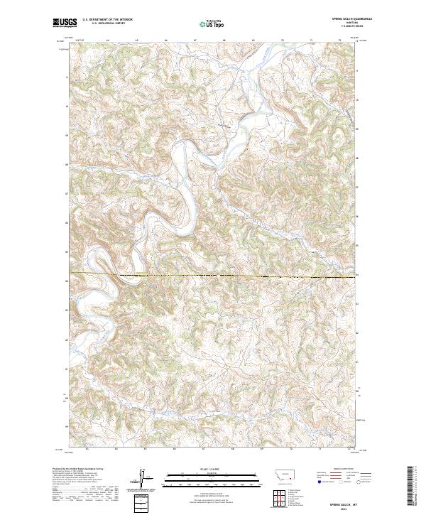
1967 Spring Gulch
Rosebud County, MT
1968 Black Coulee
Rosebud County, MT
1968 Box Canyon Coulee
Rosebud County, MT
1968 Donleys Reservoir
Rosebud County, MT
1968 Finch NE
Rosebud County, MT
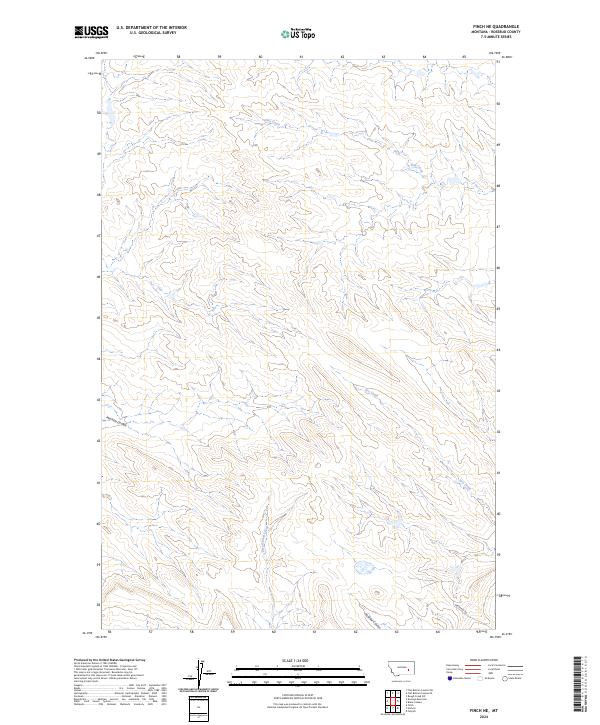
1968 Finch
Rosebud County, MT
1968 Hathaway NW
Rosebud County, MT
1968 Hathaway
Rosebud County, MT
1968 Nichols
Rosebud County, MT
1968 Orinoco
Rosebud County, MT
1968 Sand Buttes
Rosebud County, MT
1968 Schultz Coulee
Rosebud County, MT
1968 Thurlow
Rosebud County, MT
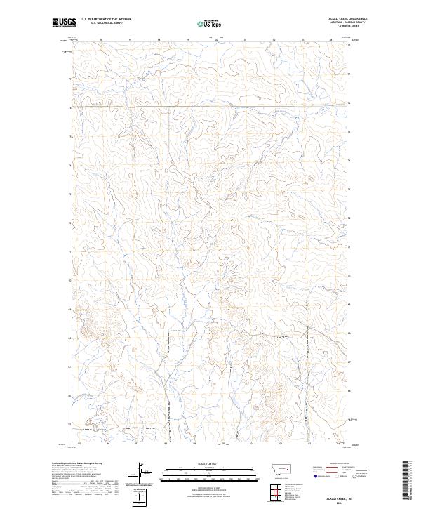
1969 Alkali Creek
Rosebud County, MT
1969 Angela
Rosebud County, MT
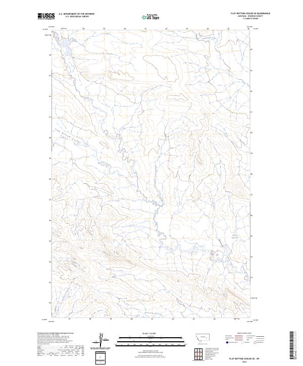
1969 Flat Bottom Coulee NE
Rosebud County, MT
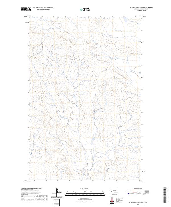
1969 Flat Bottom Coulee NW
Rosebud County, MT
1969 Flat Bottom Coulee SE
Rosebud County, MT
1969 Flat Bottom Coulee SW
Rosebud County, MT
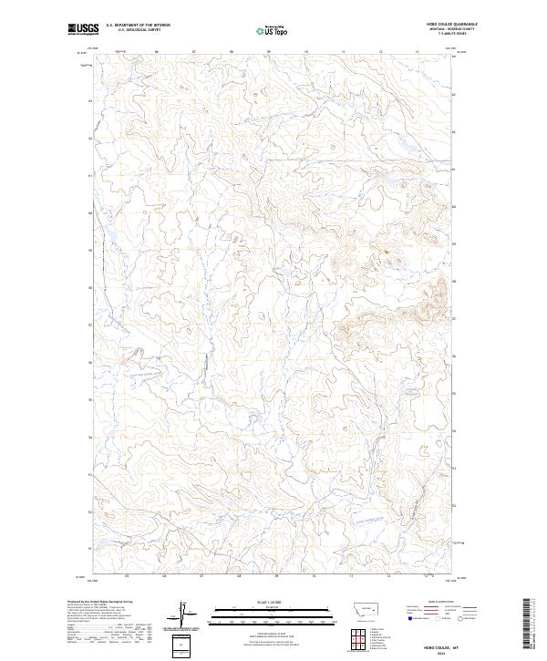
1969 Hobo Coulee
Rosebud County, MT
1969 Miller Creek NW
Rosebud County, MT
1969 Rough Creek NE
Rosebud County, MT
1969 Rough Creek SE
Rosebud County, MT
1969 Rough Creek SW
Rosebud County, MT
1969 Rudie Coulee
Rosebud County, MT
1969 Van Burton Creek
Rosebud County, MT
1969 Wild Horse Pass
Rosebud County, MT
1969 Wild Horse Pass SE
Rosebud County, MT
1971 Colstrip East
Rosebud County, MT
1971 Colstrip SE
Rosebud County, MT
1971 Colstrip SW
Rosebud County, MT
1971 Colstrip West
Rosebud County, MT
1971 Crain Place
Rosebud County, MT
1971 Griffin Coulee NE
Rosebud County, MT
1971 Griffin Coulee NW
Rosebud County, MT
1971 Griffin Coulee
Rosebud County, MT
1971 Griffin Coulee SW
Rosebud County, MT
1971 Hammond Draw NW
Rosebud County, MT
1971 Hammond Draw
Rosebud County, MT
1971 Hammond Draw SW
Rosebud County, MT
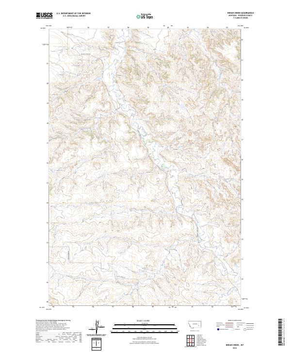
1971 Indian Creek
Rosebud County, MT
1971 John Hen Creek
Rosebud County, MT
1971 Mc Clure Creek
Rosebud County, MT
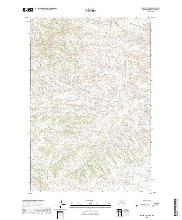
1971 Mc Kerlich Creek
Rosebud County, MT
1971 Mitchell Coulee
Rosebud County, MT
1971 Rosebud Buttes
Rosebud County, MT
1971 Rough Draw
Rosebud County, MT
1971 Sheep Creek Camp
Rosebud County, MT
1971 Smith Creek NE
Rosebud County, MT
1971 Smith Creek
Rosebud County, MT
1971 Trail Creek School
Rosebud County, MT
1972 Hamilton Draw
Rosebud County, MT
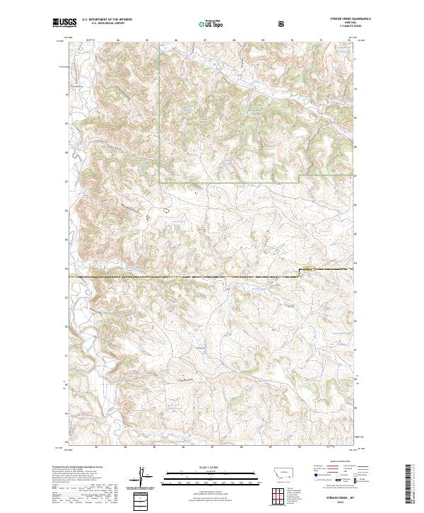
1972 Stroud Creek
Rosebud County, MT
1979 Angela
Rosebud County, MT
1995 Birney Day School
Rosebud County, MT
1995 Browns Mountain
Rosebud County, MT
1995 Green Creek
Rosebud County, MT
1995 Hamilton Draw
Rosebud County, MT
1995 Poker Jim Butte
Rosebud County, MT
1995 Stroud Creek
Rosebud County, MT
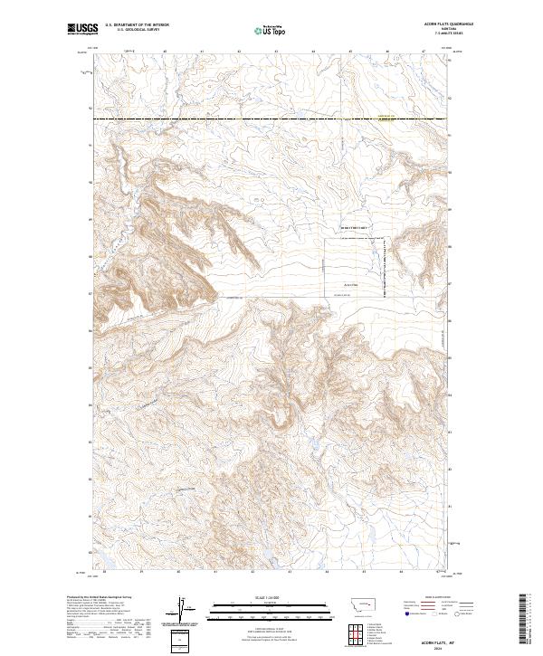
2024 Acorn Flats
Rosebud County, MT
2024 Alkali Creek
Rosebud County, MT
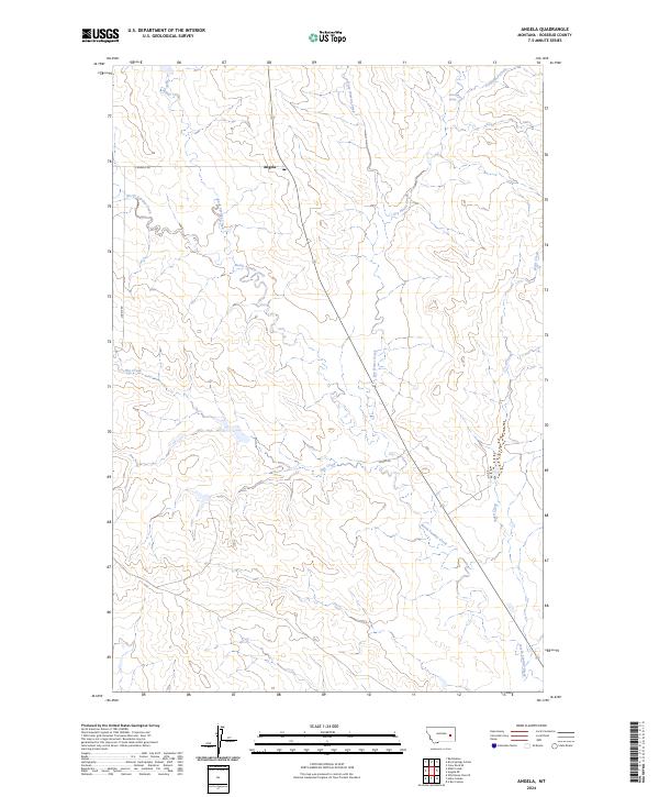
2024 Angela
Rosebud County, MT
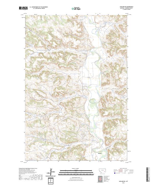
2024 Ashland NE
Rosebud County, MT
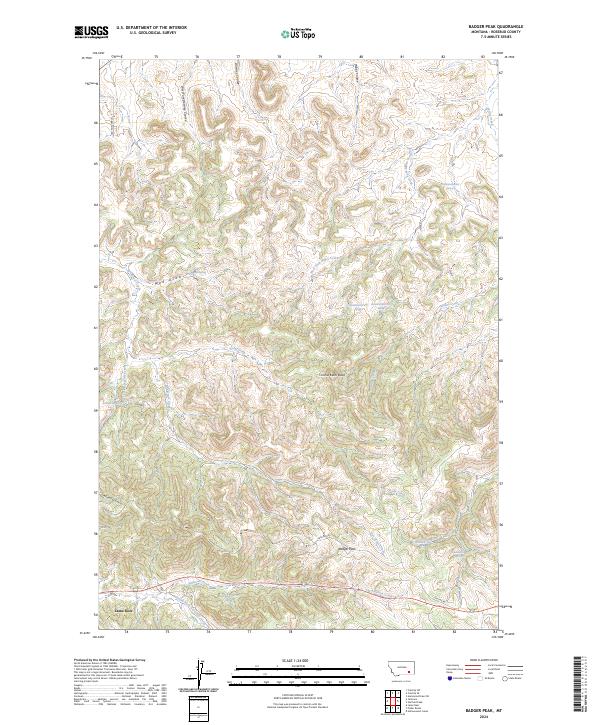
2024 Badger Peak
Rosebud County, MT
2024 Birney Day School
Rosebud County, MT
2024 Birney SW
Rosebud County, MT
2024 Black Coulee
Rosebud County, MT
2024 Black Sea Reservoir
Rosebud County, MT
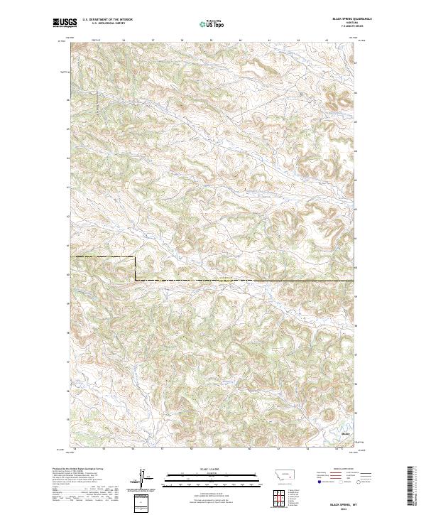
2024 Black Spring
Rosebud County, MT
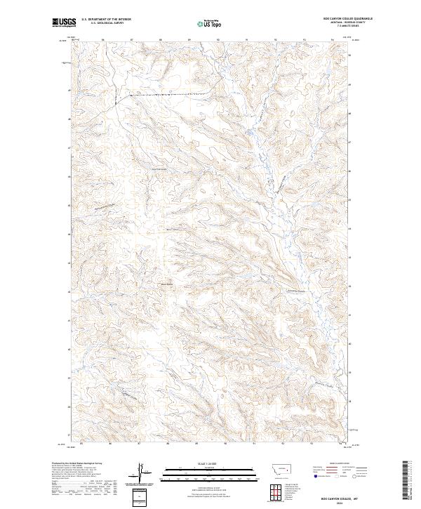
2024 Box Canyon Coulee
Rosebud County, MT
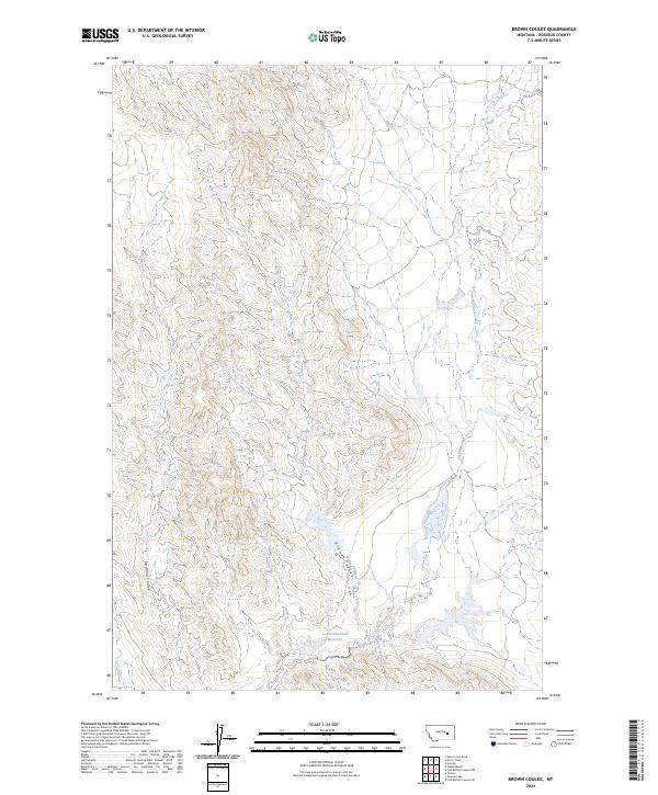
2024 Brown Coulee
Rosebud County, MT
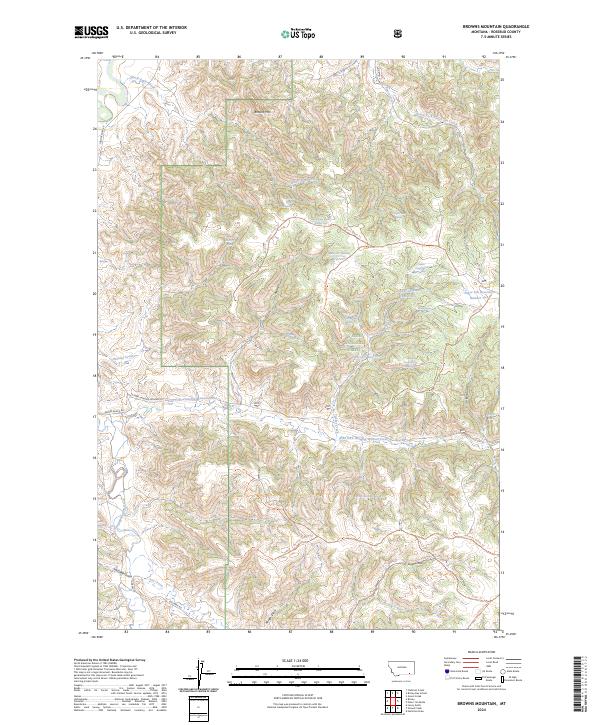
2024 Browns Mountain
Rosebud County, MT
2024 Clear Water Reservoir
Rosebud County, MT
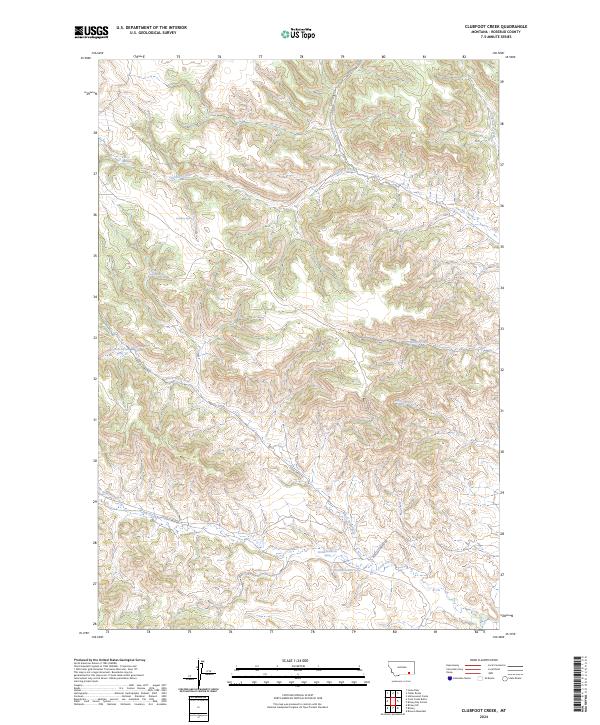
2024 Clubfoot Creek
Rosebud County, MT
2024 Colstrip East
Rosebud County, MT
2024 Colstrip SE
Rosebud County, MT
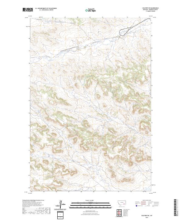
2024 Colstrip SW
Rosebud County, MT

2024 Colstrip West
Rosebud County, MT
2024 Cook Creek Butte
Rosebud County, MT
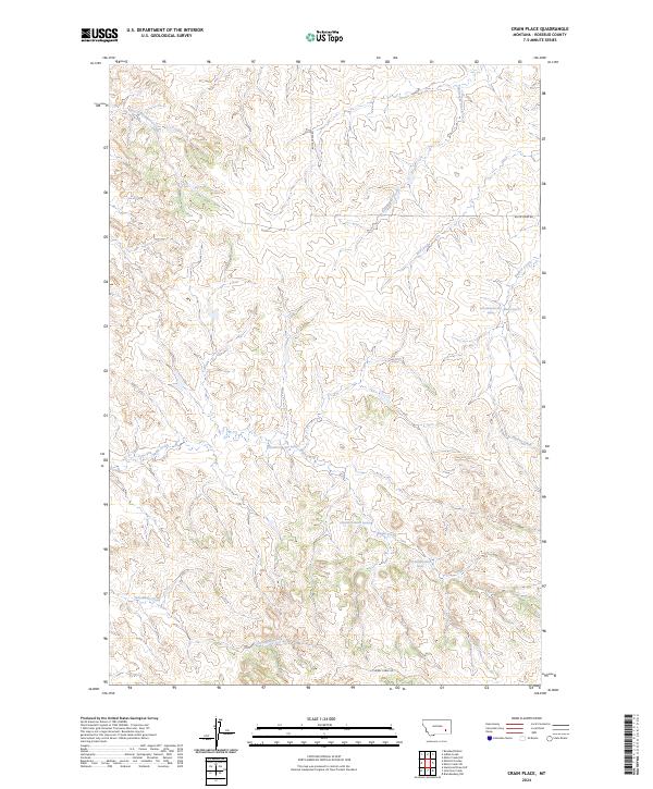
2024 Crain Place
Rosebud County, MT
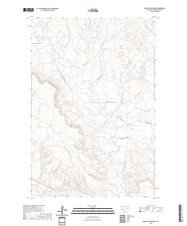
2024 Donleys Reservoir
Rosebud County, MT
2024 Finch NE
Rosebud County, MT
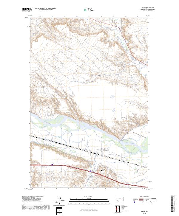
2024 Finch
Rosebud County, MT
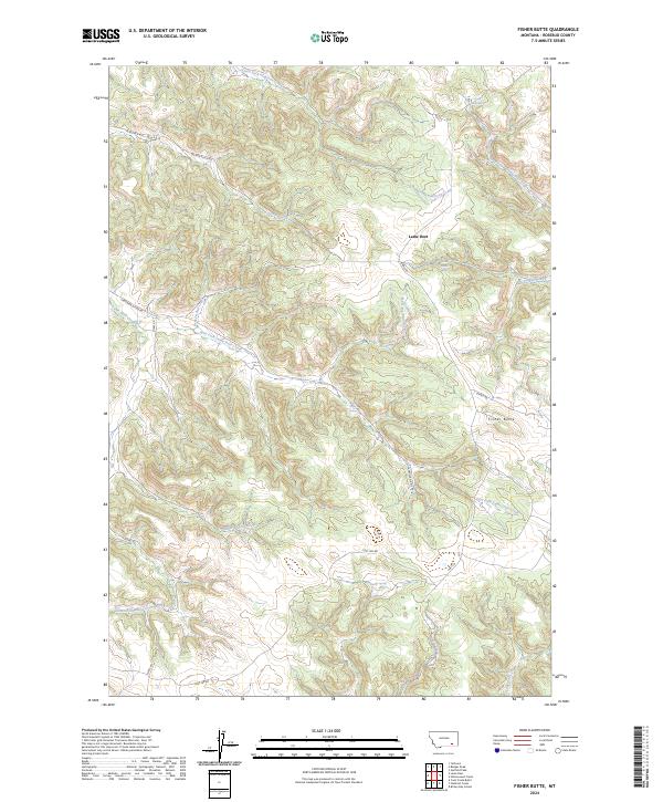
2024 Fisher Butte
Rosebud County, MT
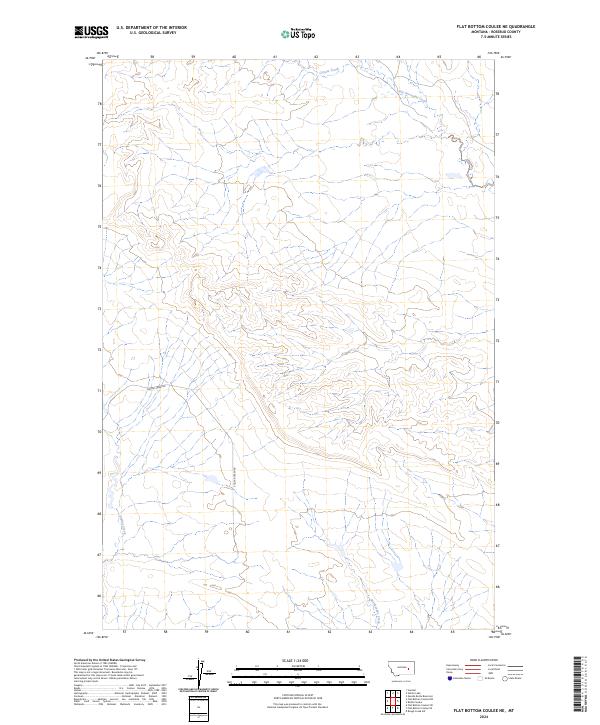
2024 Flat Bottom Coulee NE
Rosebud County, MT
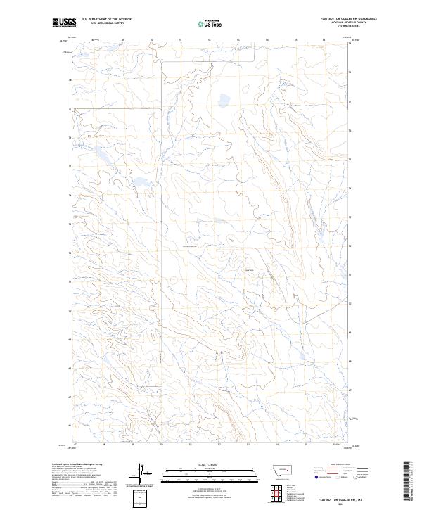
2024 Flat Bottom Coulee NW
Rosebud County, MT
2024 Flat Bottom Coulee SE
Rosebud County, MT
2024 Flat Bottom Coulee SW
Rosebud County, MT
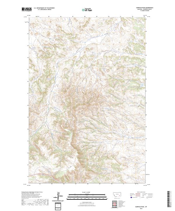
2024 Garfield Peak
Rosebud County, MT
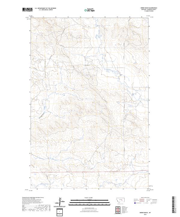
2024 Grebe Ranch
Rosebud County, MT
2024 Green Creek
Rosebud County, MT
2024 Griffin Coulee NE
Rosebud County, MT
2024 Griffin Coulee NW
Rosebud County, MT
2024 Griffin Coulee
Rosebud County, MT
2024 Griffin Coulee SW
Rosebud County, MT
2024 Guthridge Ranch
Rosebud County, MT
2024 Hagen Ranch
Rosebud County, MT
2024 Hamilton Draw
Rosebud County, MT
2024 Hammond Draw NW
Rosebud County, MT
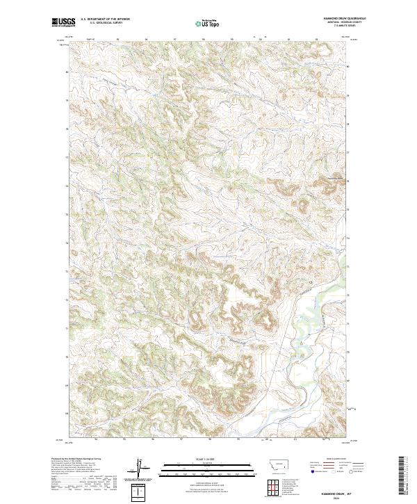
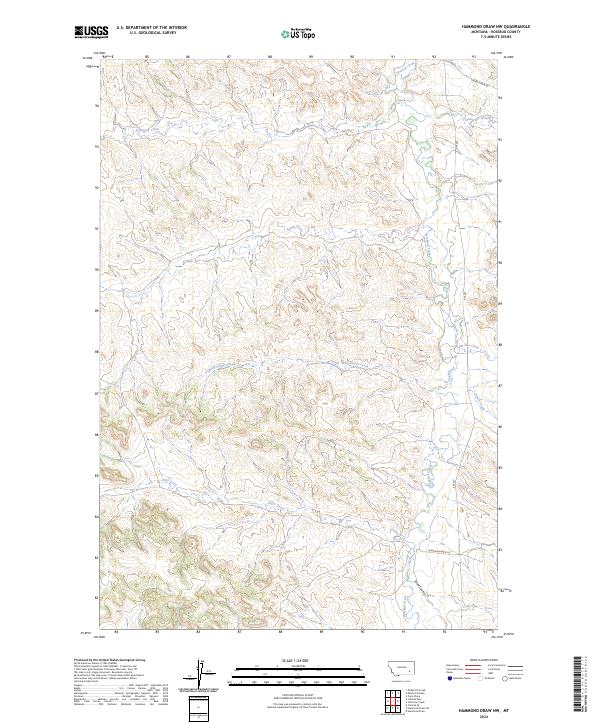
2024 Hammond Draw
Rosebud County, MT

2024 Hammond Draw SW
Rosebud County, MT
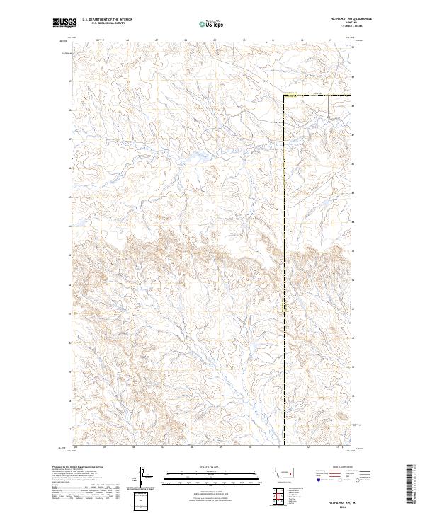
2024 Hathaway NW
Rosebud County, MT
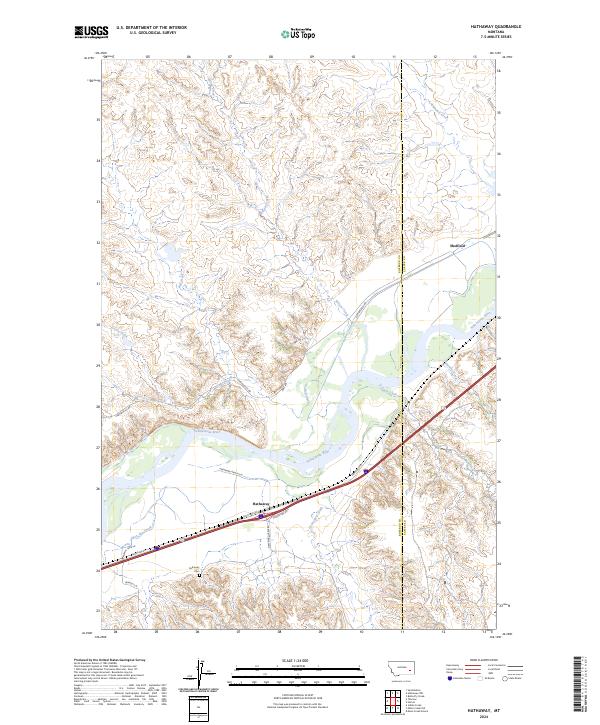
2024 Hathaway
Rosebud County, MT
2024 Hecker Ranch
Rosebud County, MT
2024 Hobo Coulee
Rosebud County, MT
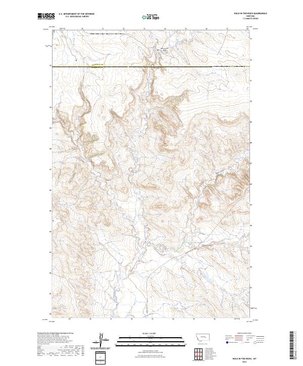
2024 Hole-in-the-Rock
Rosebud County, MT
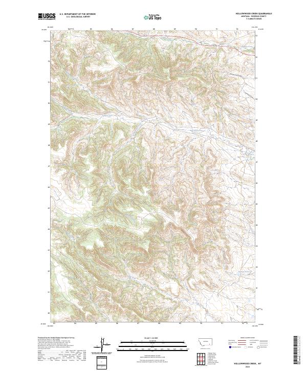
2024 Hollowwood Creek
Rosebud County, MT
2024 Indian Creek
Rosebud County, MT
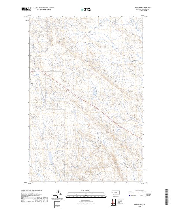
2024 Ingomar East
Rosebud County, MT
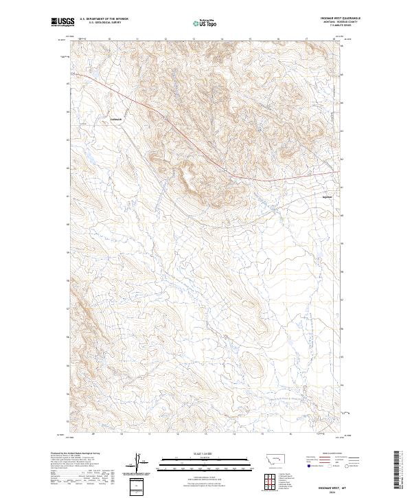
2024 Ingomar West
Rosebud County, MT
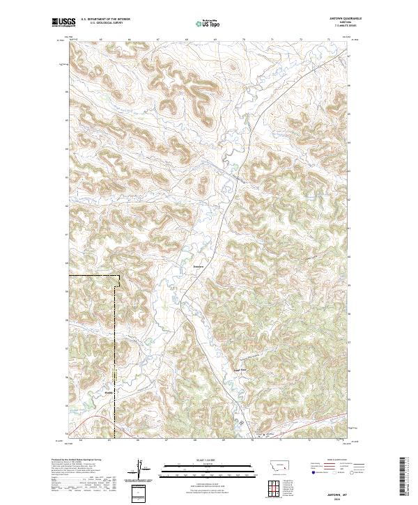
2024 Jimtown
Rosebud County, MT
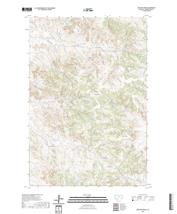
2024 John Hen Creek
Rosebud County, MT
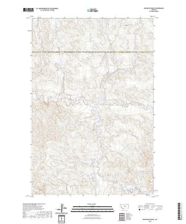
2024 Kincheloe Ranch
Rosebud County, MT
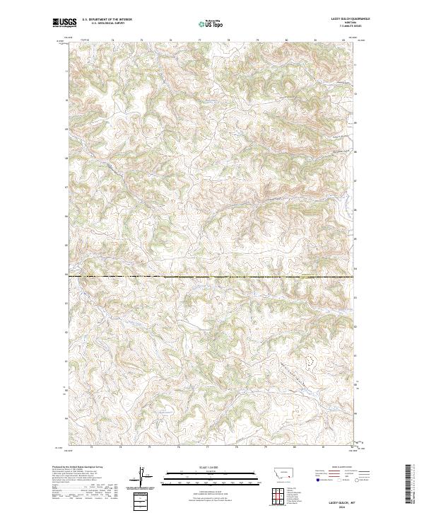
2024 Lacey Gulch
Rosebud County, MT
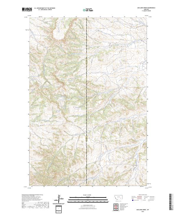
2024 McClure Creek
Rosebud County, MT
2024 McGinnis Butte SE
Rosebud County, MT
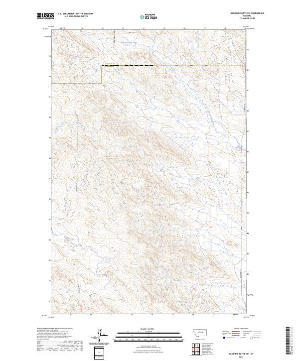
2024 McGinnis Butte SW
Rosebud County, MT
2024 McKerlich Creek
Rosebud County, MT
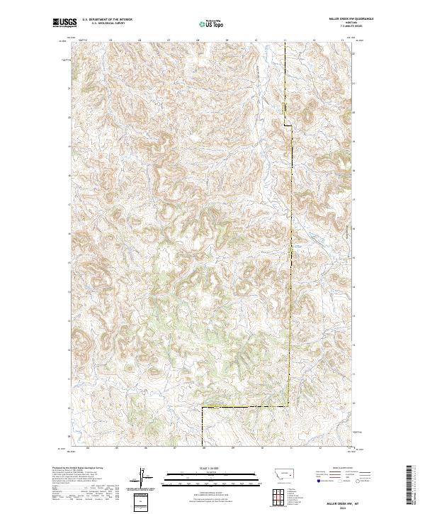
2024 Miller Creek NW
Rosebud County, MT
2024 Mitchell Coulee
Rosebud County, MT
2024 Mosby SE
Rosebud County, MT
2024 Needle Butte Reservoir
Rosebud County, MT
2024 Needle Butte
Rosebud County, MT
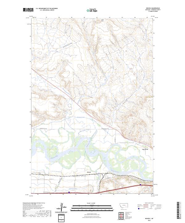
2024 Nichols
Rosebud County, MT
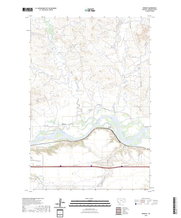
2024 Orinoco
Rosebud County, MT
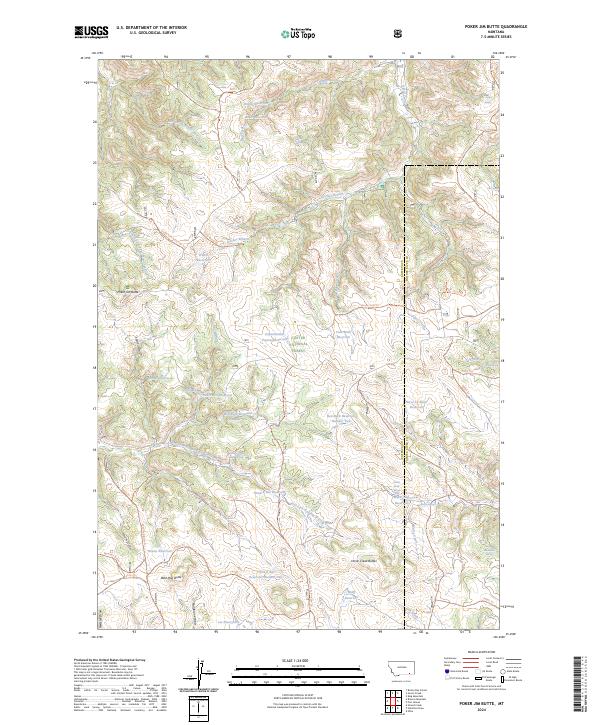
2024 Poker Jim Butte
Rosebud County, MT
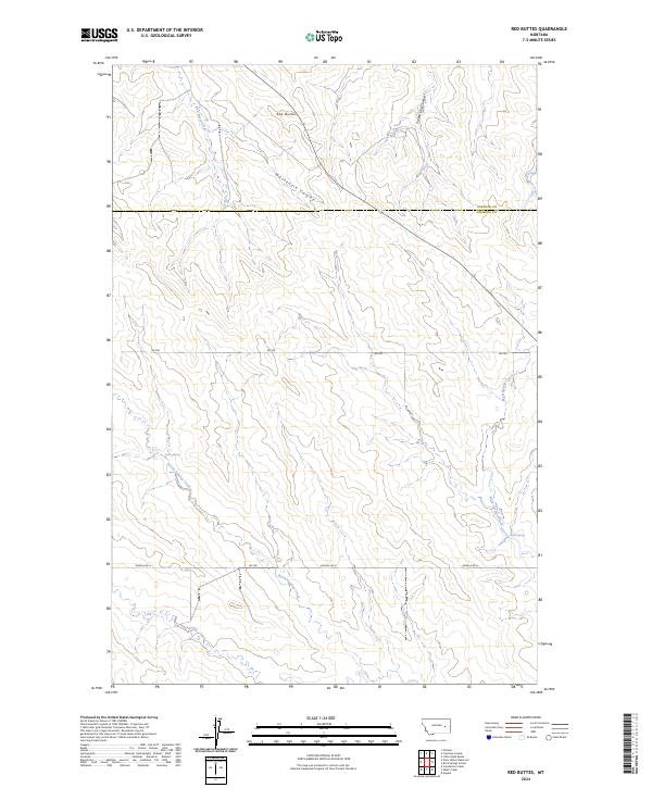
2024 Red Buttes
Rosebud County, MT
2024 Regnal Coulee
Rosebud County, MT
2024 Rock Springs School
Rosebud County, MT
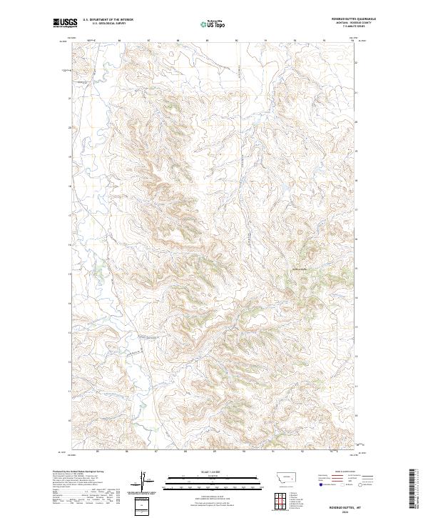
2024 Rosebud Buttes
Rosebud County, MT
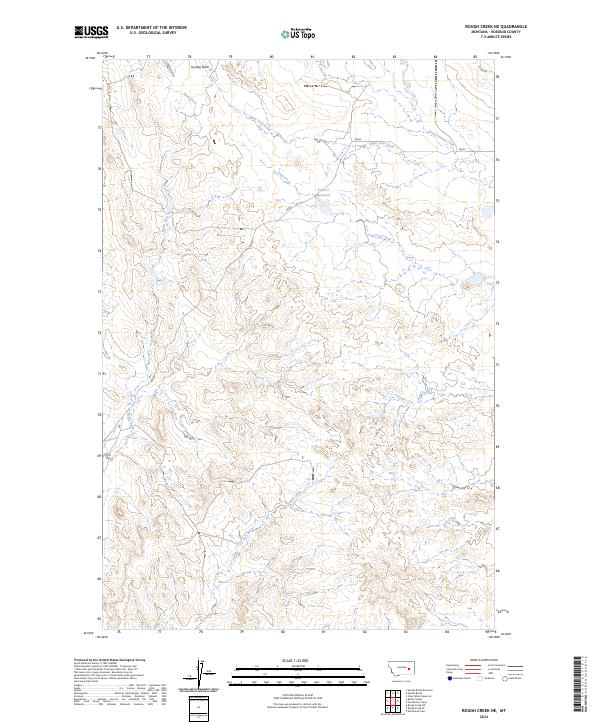
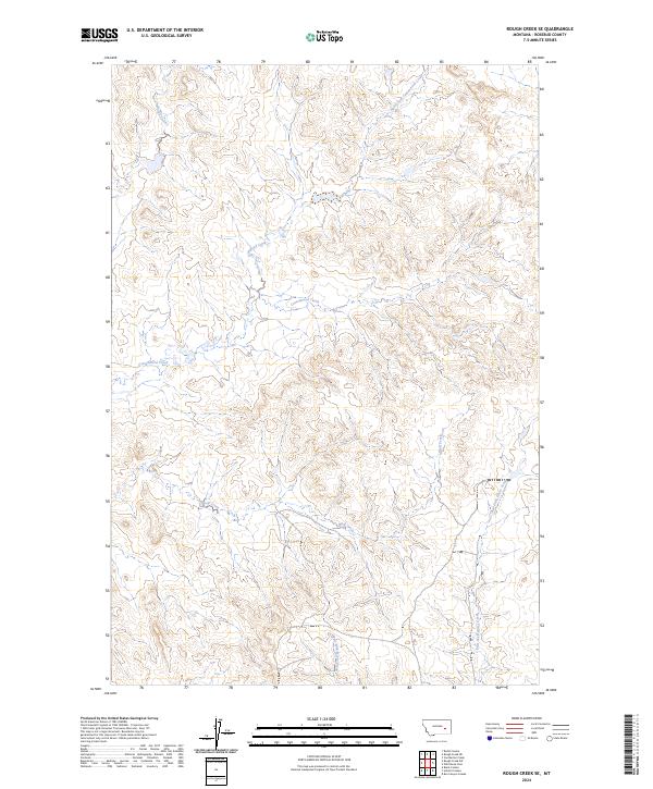
2024 Rough Creek NE
Rosebud County, MT
2024 Rough Creek SE
Rosebud County, MT
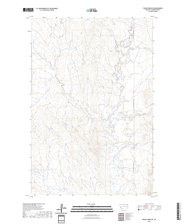
2024 Rough Creek SW
Rosebud County, MT
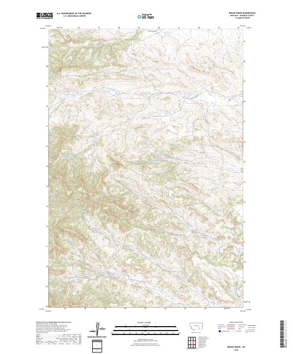
2024 Rough Draw
Rosebud County, MT
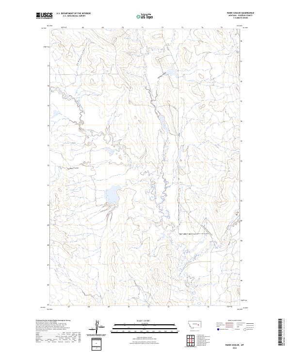
2024 Rudie Coulee
Rosebud County, MT
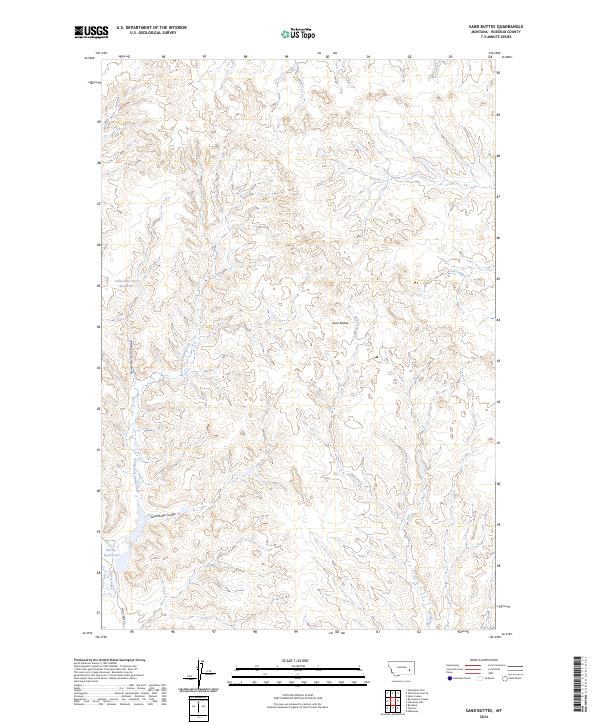
2024 Sand Buttes
Rosebud County, MT
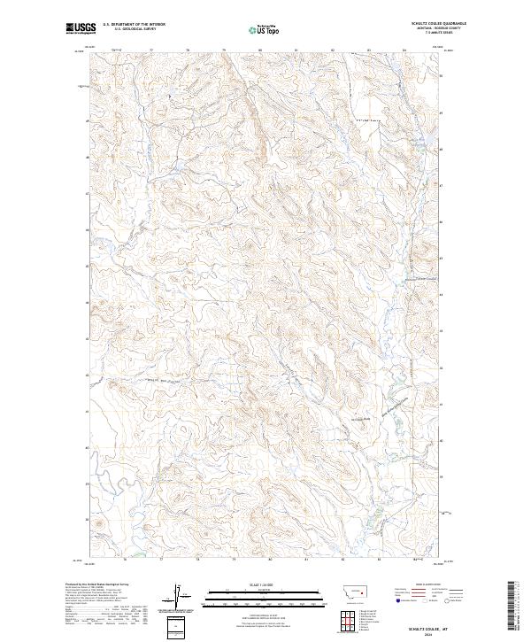
2024 Schultz Coulee
Rosebud County, MT
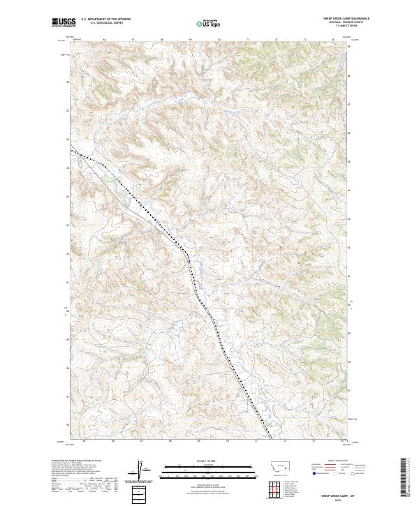
2024 Sheep Creek Camp
Rosebud County, MT
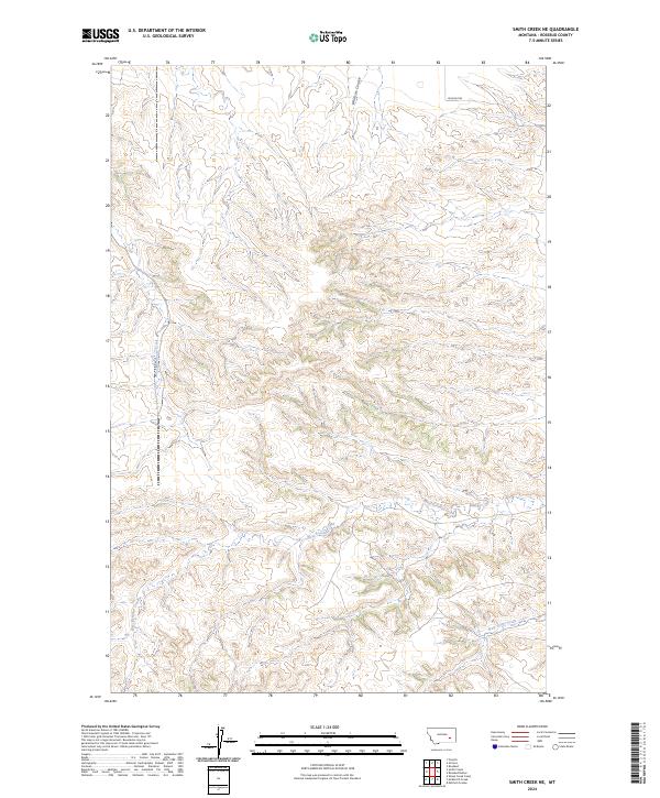
2024 Smith Creek NE
Rosebud County, MT
2024 Smith Creek
Rosebud County, MT
2024 Spring Gulch
Rosebud County, MT
2024 Stellar Lake
Rosebud County, MT
2024 Stroud Creek
Rosebud County, MT
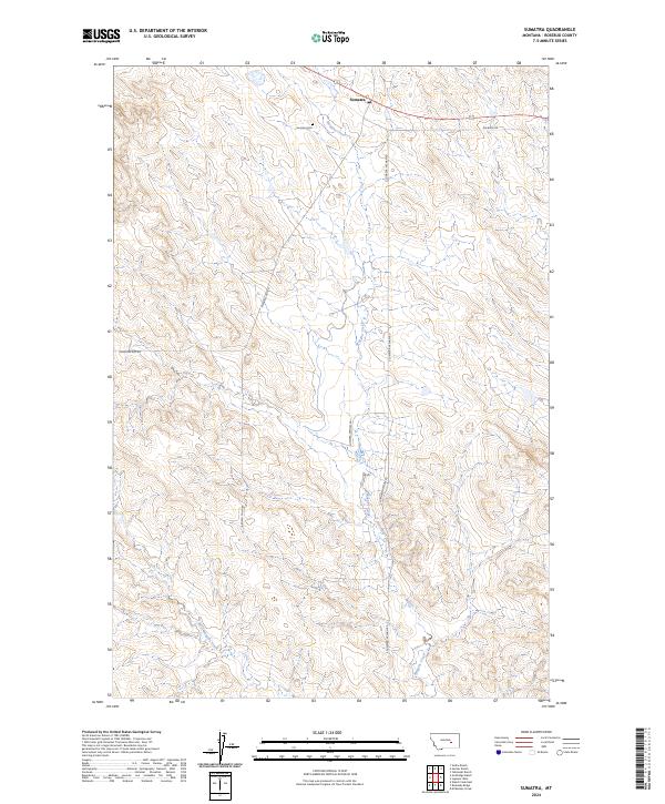
2024 Sumatra
Rosebud County, MT
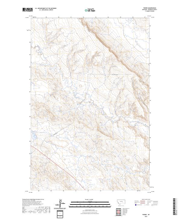
2024 Thebes
Rosebud County, MT
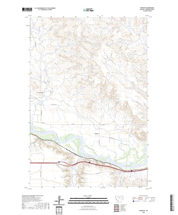
2024 Thurlow
Rosebud County, MT
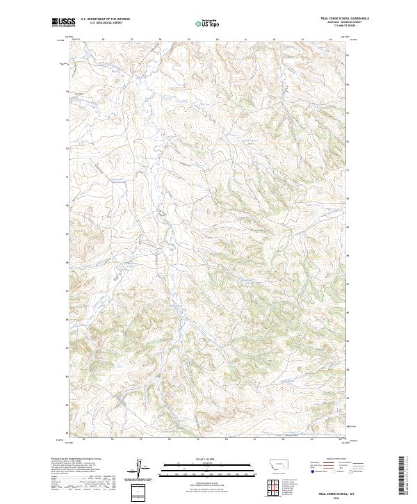
2024 Trail Creek School
Rosebud County, MT
2024 Vananda
Rosebud County, MT
2024 Van Burton Creek
Rosebud County, MT
2024 Vanstel
Rosebud County, MT
2024 Wild Horse Pass
Rosebud County, MT
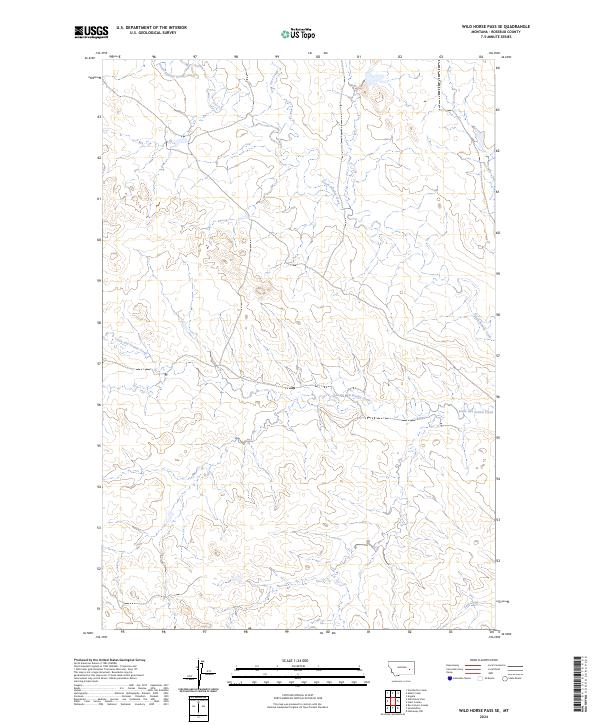
2024 Wild Horse Pass SE
Rosebud County, MT
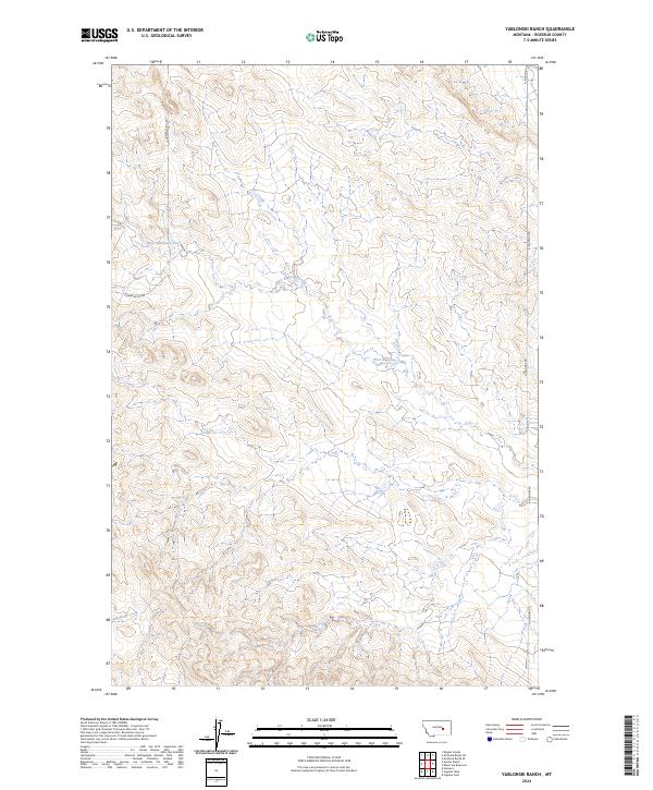
2024 Yablonski Ranch
Rosebud County, MT
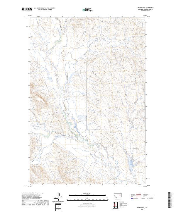
2024 Zempel Lake
Rosebud County, MT