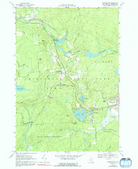
1966 Map of Oswegatchie
USGS Topo · Published 1992About this map
The Oswegatchie River dominates this landscape, winding through the northern reaches of the Adirondack State Forest Preserve Park at a time when the region's industrial and wilderness identities were deeply intertwined. The Penn Central railroad cuts across the terrain, serving the massive industrial footprint of Benson Mines and its associated Strip Mine and Mine Dump. These heavy industrial features stand in contrast to the quiet settlements of Aldrich and Coffins Mills, and the recreational character of the Golf Course at Star Lake. Local heritage is preserved in the cemeteries of St Michaels Cem and Woodland Cem near the northern riverbanks. The infrastructure of the era is evidenced by the Browns Fall Powerplant and various gaging stations, reflecting a managed wilderness utilized for power and mineral extraction during the mid-twentieth century.
Find a feature on this map
50 named features on this map. Tap any name to fly to it.
Don’t see what you’re looking for? This feature index may not catch every label — zoom into the map to look around manually.
Map Details
Editions of this 1966 Oswegatchie Map
3 editions found
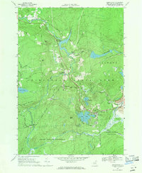
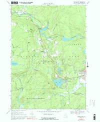
Other maps of this area

1915 · Russell
USGS Topo · 1:62,500

1916 · Oswegatchie
USGS Topo · 1:62,500

1918 · Russell
USGS Topo · 1:62,500

1918 · Oswegatchie
USGS Topo · 1:62,500

1919 · Cranberry Lake
USGS Topo · 1:62,500

1921 · Cranberry Lake
USGS Topo · 1:62,500

1921 · Stark
USGS Topo · 1:62,500

1923 · Stark
USGS Topo · 1:62,500

1931 · Cranberry Lake
USGS Topo · 1:62,500

1940 · Stark
USGS Topo · 1:62,500