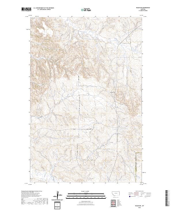
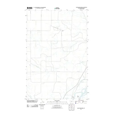
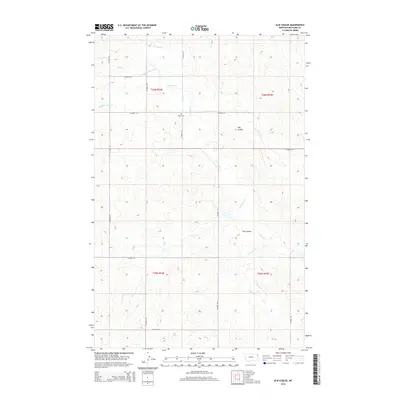
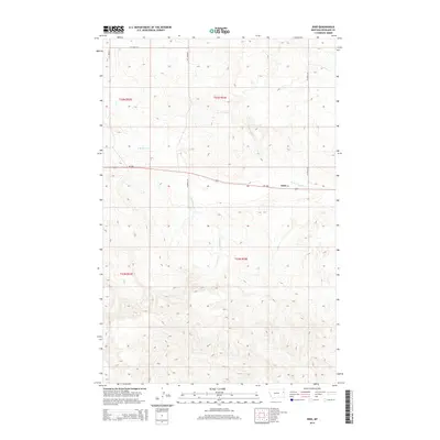
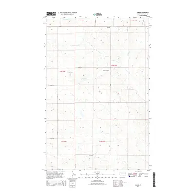
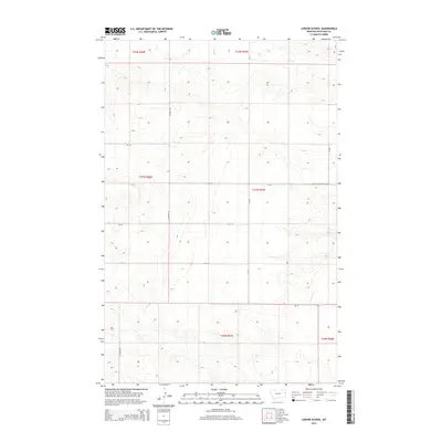
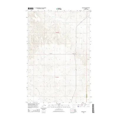
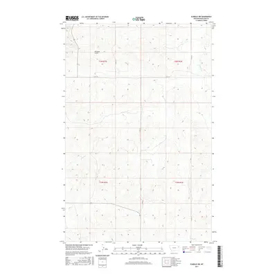
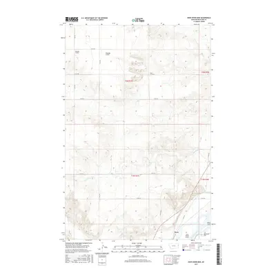
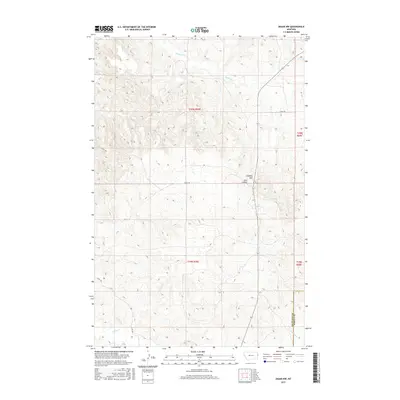
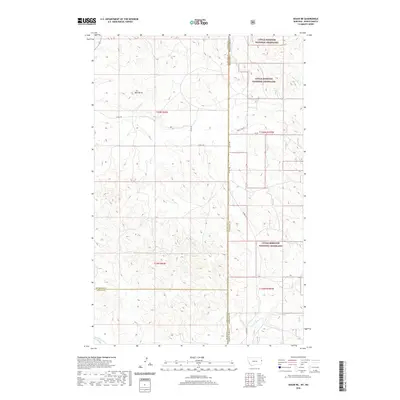
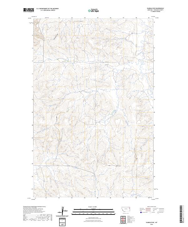
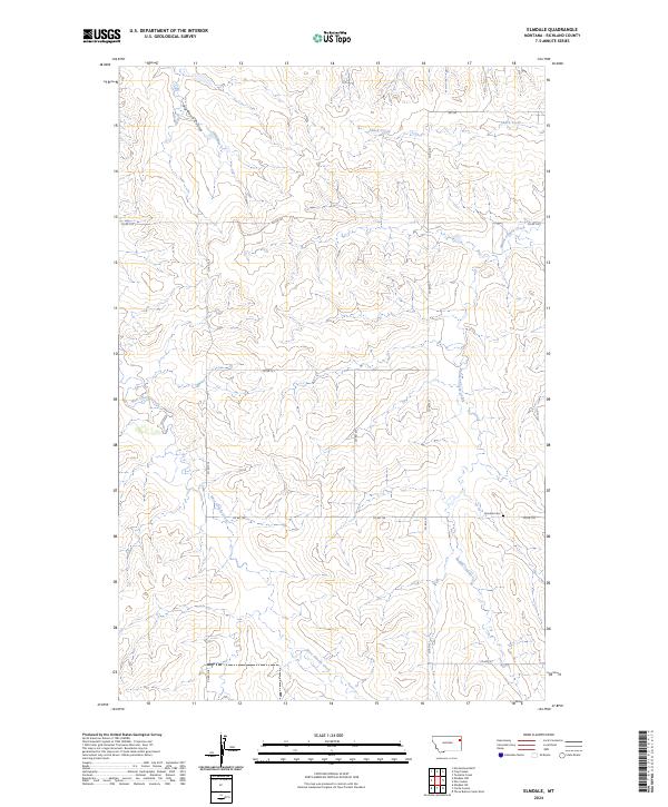
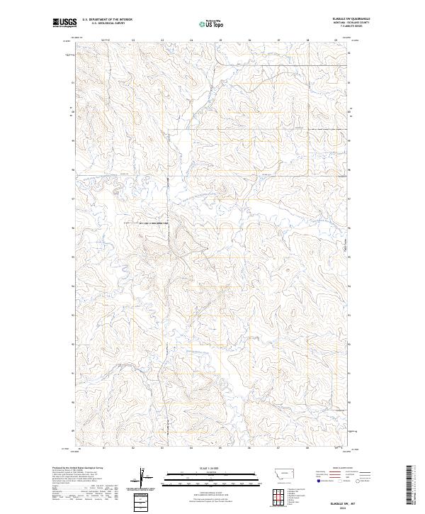
2024 Map of Skaar NW
USGS Topo · Published 2024About this map
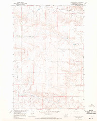
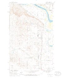
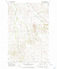
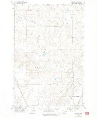
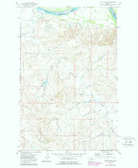
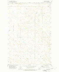
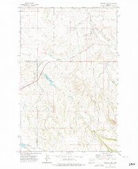
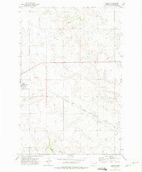
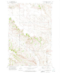
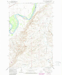
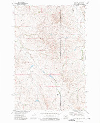
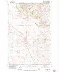
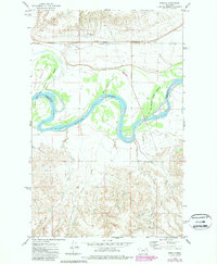
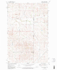
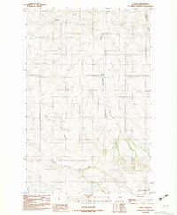
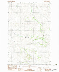
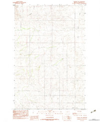
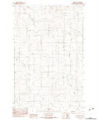
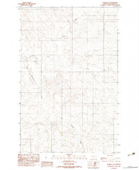
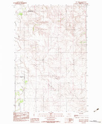
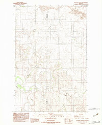
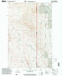
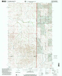
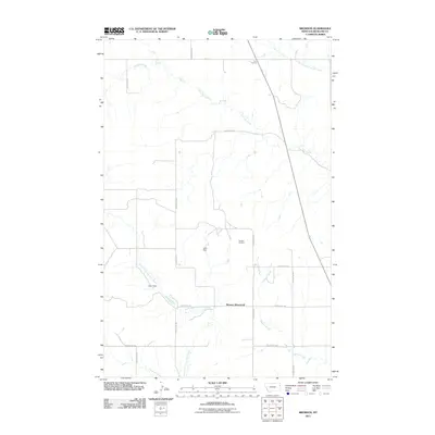
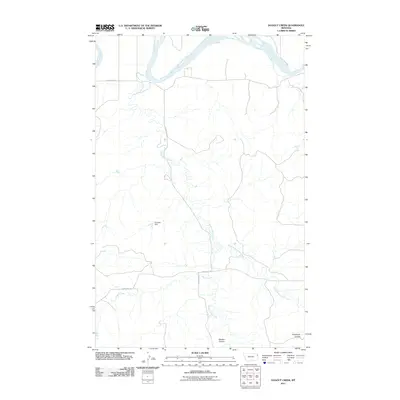
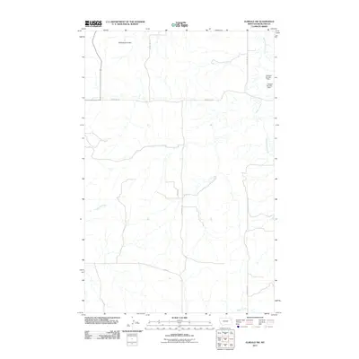
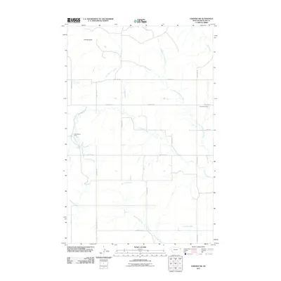
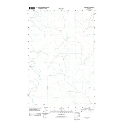
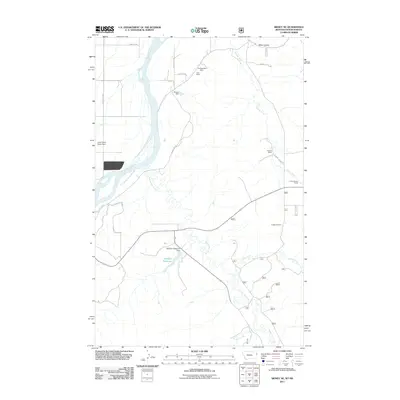
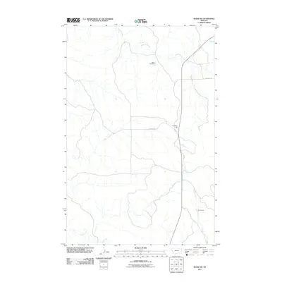
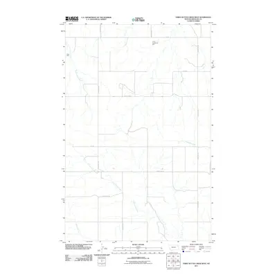
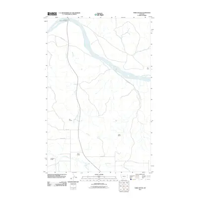
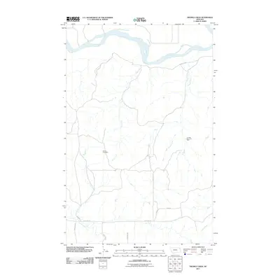
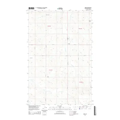
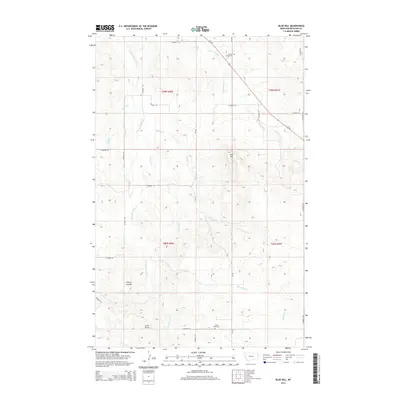
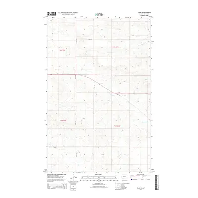
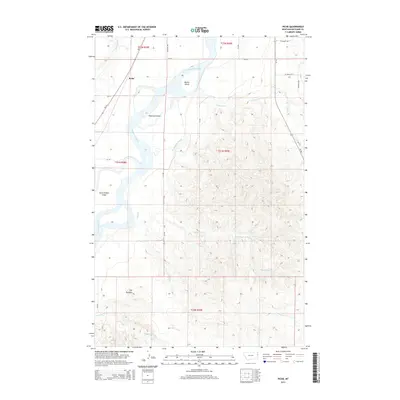
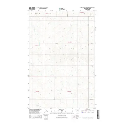
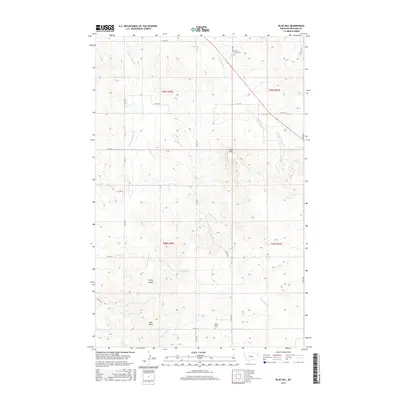
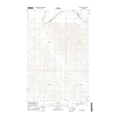
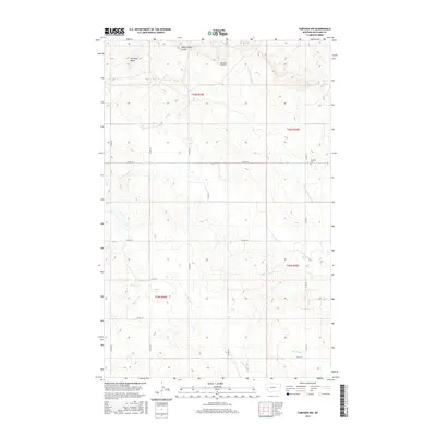
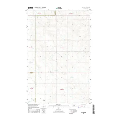
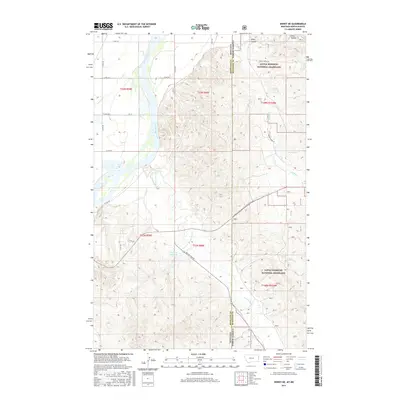
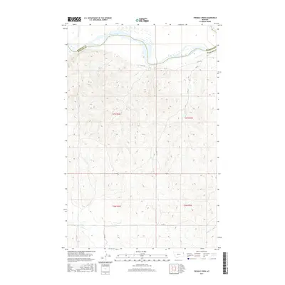
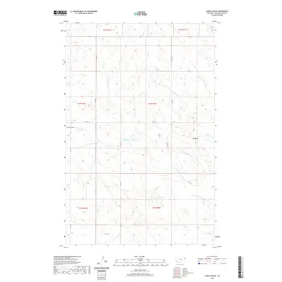
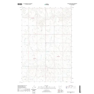
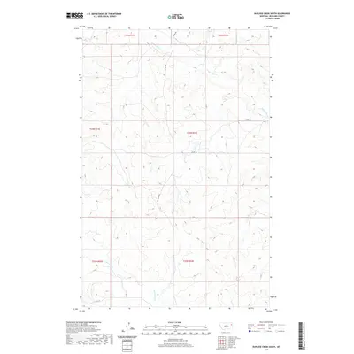
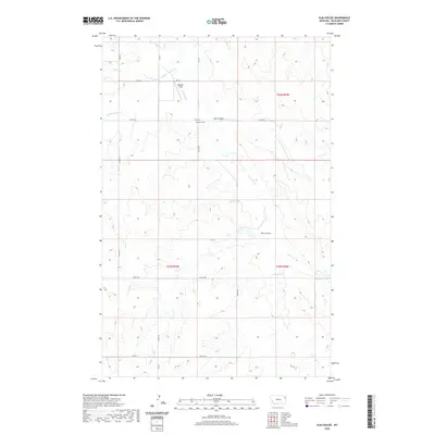
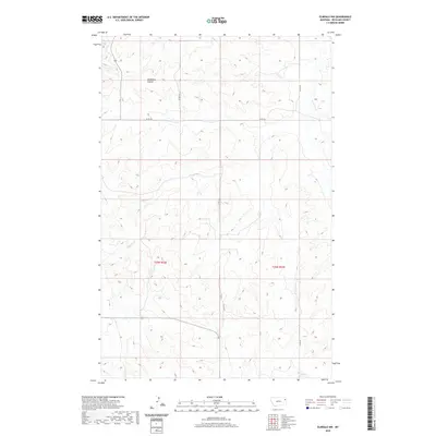
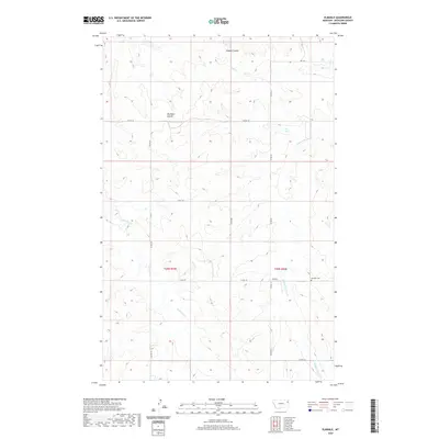
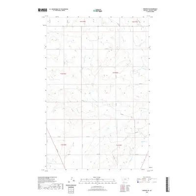
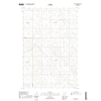
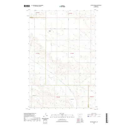
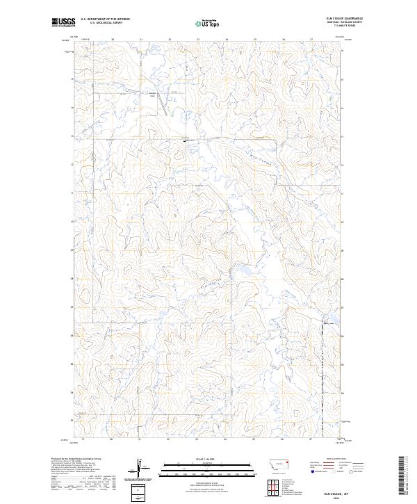
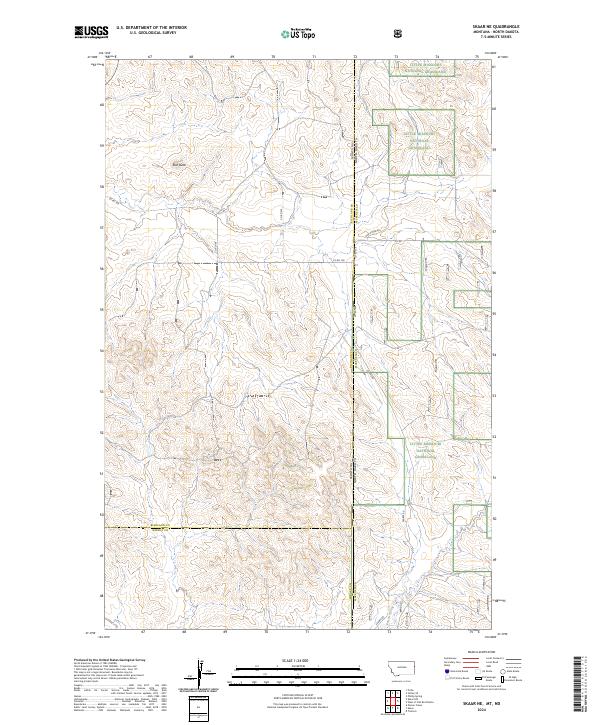
Lindberg Hill rises above a landscape defined by deeply incised drainages and the expansive high plains of eastern Montana. This area, straddling the boundary between Richland and Wibaux counties, is marked by a network of seasonal watercourses including Shadwell Creek, Smith Creek, and the prominent Elm Coulee. The terrain reveals a sparse, high-country ranching or agricultural layout typical of the region, where connectivity depends on gravel routes such as Co Rd 106 and Burma Rd. The Public Land Survey System grid remains the primary organizing feature of this territory, visible in the alignment of section lines like t20n r59e and t19n r60e, reflecting the enduring homesteading patterns of the Northern Plains.
Find a feature on this map
14 named features on this map. Tap any name to fly to it.
Don’t see what you’re looking for? This feature index may not catch every label — zoom into the map to look around manually.
Map Details
Editions of this 2024 Skaar NW Map
This is the sole edition of this map. No revisions or reprints were ever made.
Historical Maps of Richland County Through Time
226 maps found
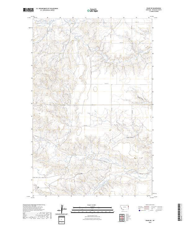
1966 Crane NE
Richland County, MT
1966 Crane NW
Richland County, MT
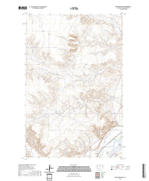
1966 Knife River Mine
Richland County, MT
1966 Larson School
Richland County, MT
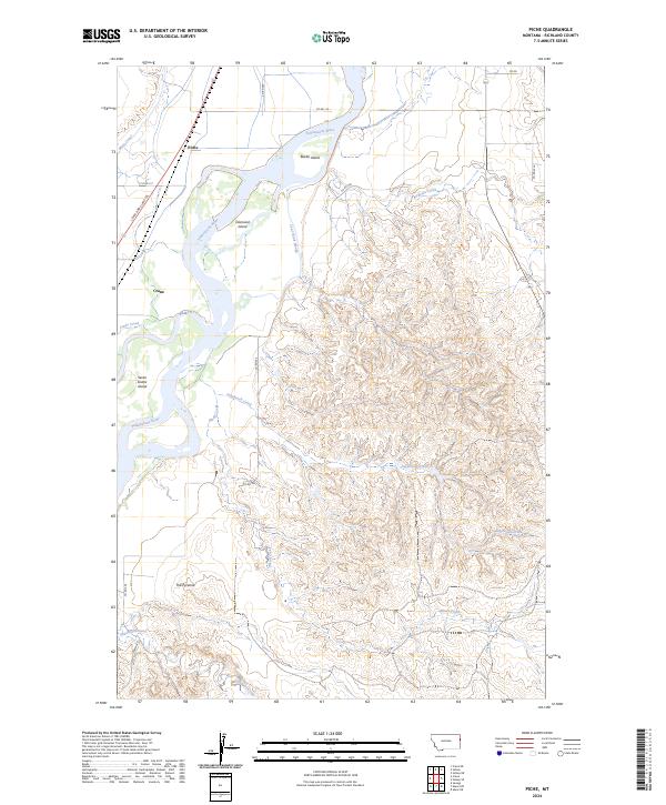
1966 Piche
Richland County, MT
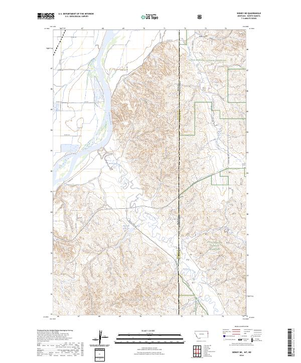
1966 Sidney NE
Richland County, MT
1966 Skaar NW
Richland County, MT
1968 Dore
Richland County, MT
1969 Dugout Creek
Richland County, MT
1969 Three Buttes
Richland County, MT
1969 Twomile Creek
Richland County, MT
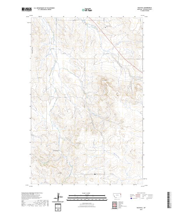
1972 Blue Hill
Richland County, MT
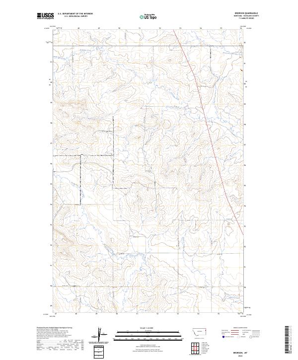
1972 Brorson
Richland County, MT
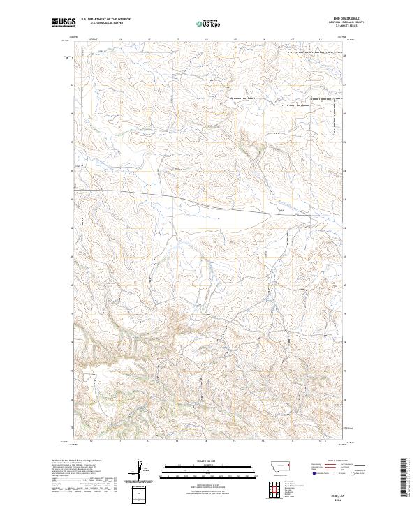
1972 Enid
Richland County, MT
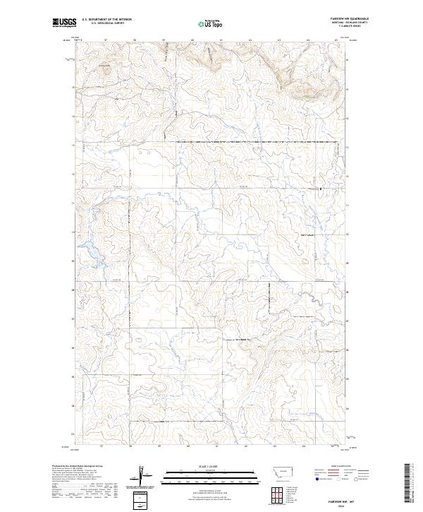
1972 Fairview NW
Richland County, MT
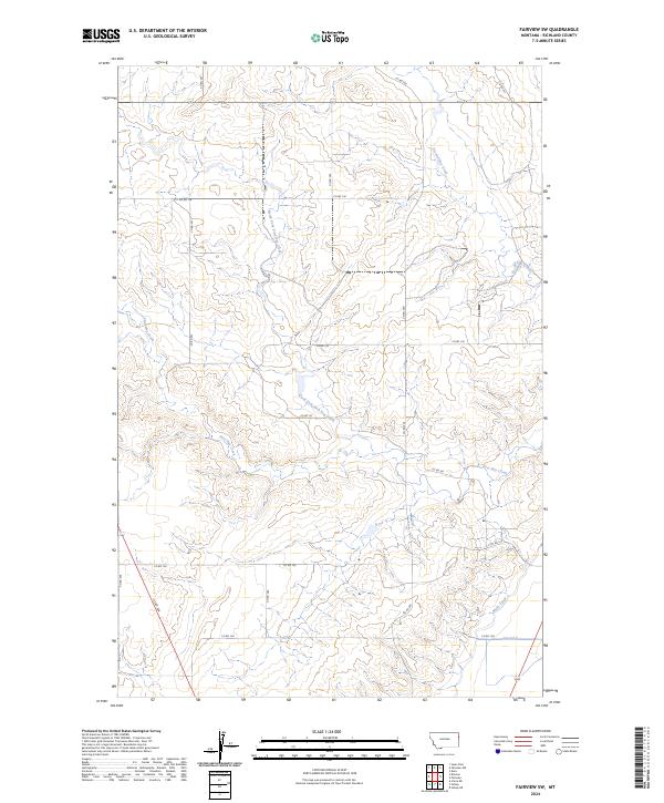
1972 Fairview SW
Richland County, MT
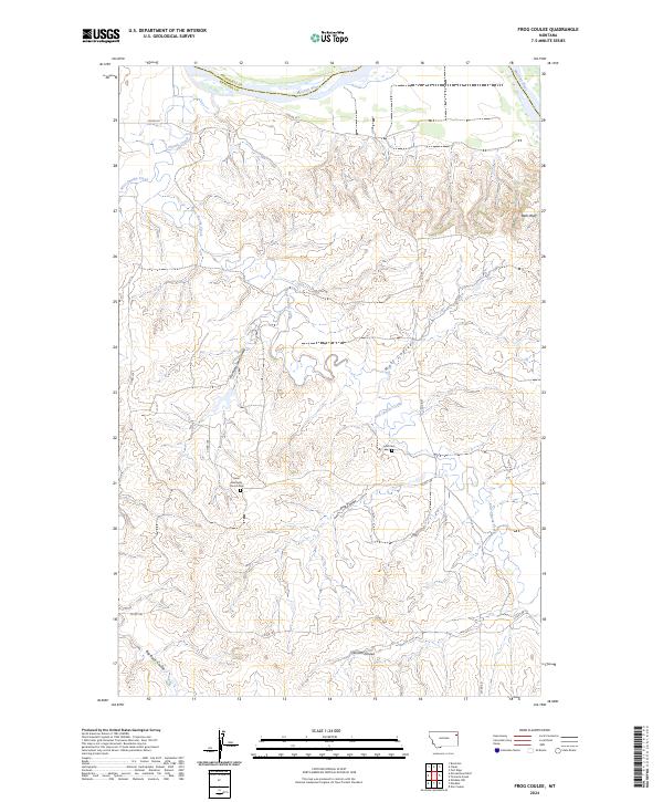
1972 Frog Coulee
Richland County, MT
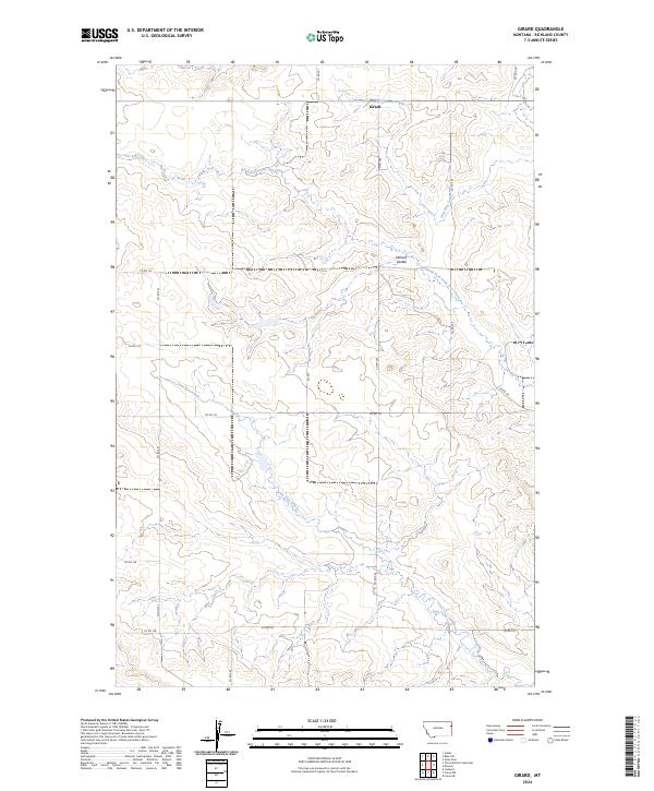
1972 Girard
Richland County, MT
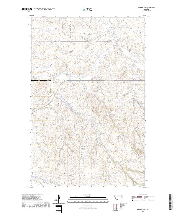
1972 Kuester Lake
Richland County, MT
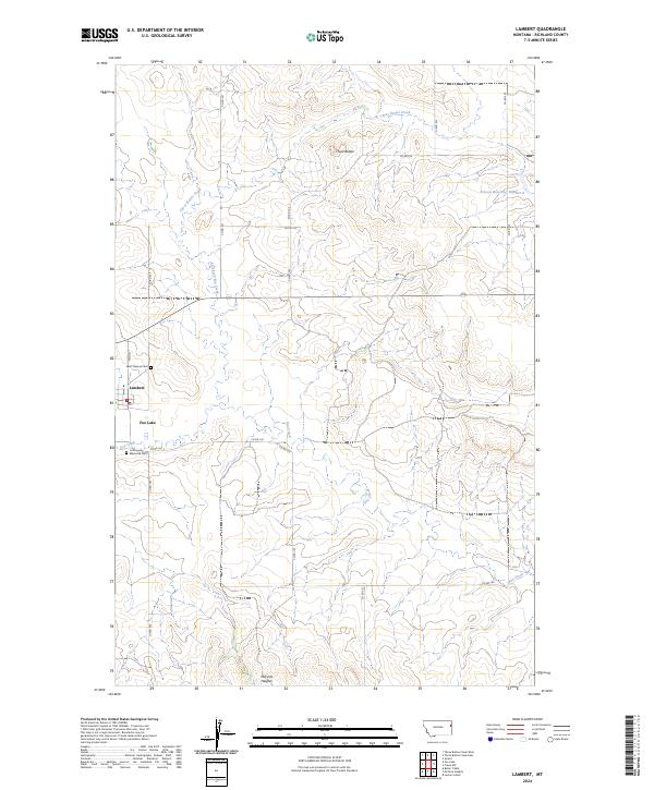
1972 Lambert
Richland County, MT
1972 Mc Cone Heights
Richland County, MT
1972 Mortarstone Bluff
Richland County, MT
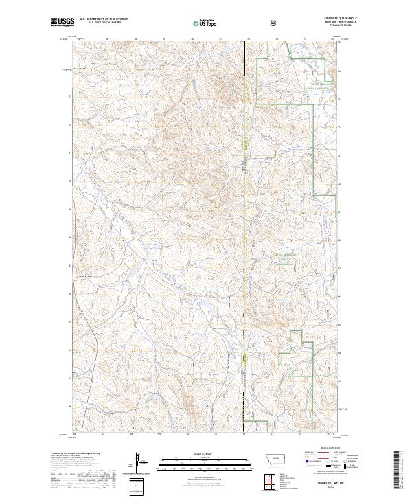
1972 Sidney SE
Richland County, MT
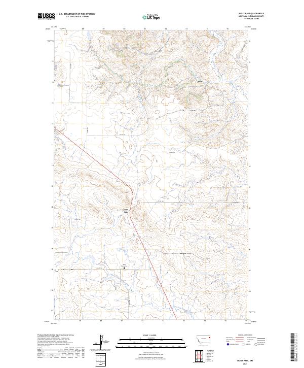
1972 Sioux Pass
Richland County, MT
1972 Sprole
Richland County, MT
1974 Skaar NE
Richland County, MT
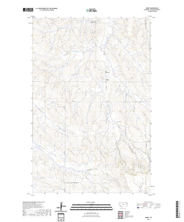
1983 Andes
Richland County, MT
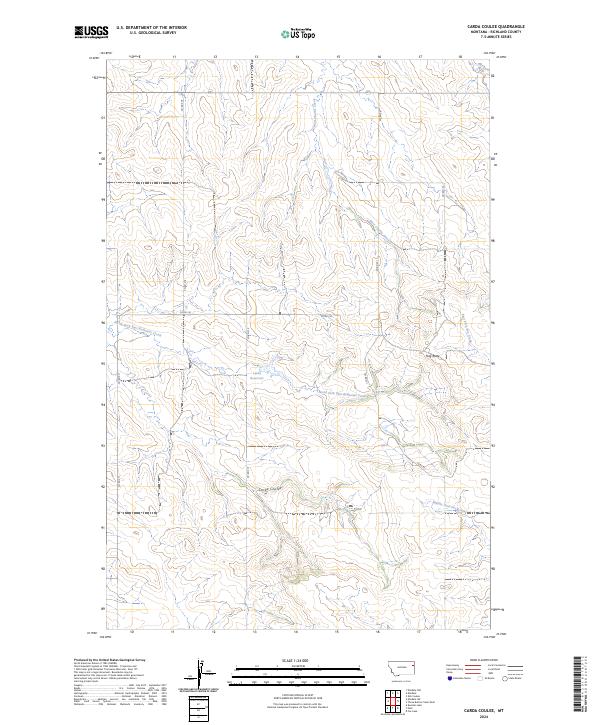
1983 Carda Coulee
Richland County, MT
1983 Duplisse Creek North
Richland County, MT
1983 Duplisse Creek South
Richland County, MT
1983 Elm Coulee
Richland County, MT
1983 Elmdale NW
Richland County, MT
1983 Elmdale
Richland County, MT
1983 Elmdale SW
Richland County, MT
1983 Lisk Creek
Richland County, MT
1983 Sullivan Coulee
Richland County, MT
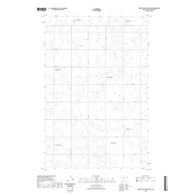
1983 Three Buttes Creek East
Richland County, MT
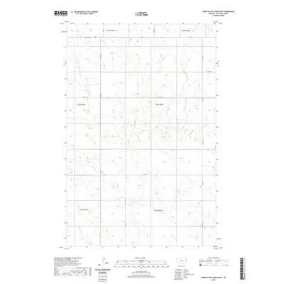
1983 Three Buttes Creek West
Richland County, MT
1997 Sidney NE
Richland County, MT
1997 Sidney SE
Richland County, MT
1997 Skaar NE
Richland County, MT
2011 Andes
Richland County, MT
2011 Blue Hill
Richland County, MT
2011 Brorson
Richland County, MT
2011 Carda Coulee
Richland County, MT
2011 Crane NE
Richland County, MT
2011 Crane NW
Richland County, MT
2011 Dugout Creek
Richland County, MT
2011 Duplisse Creek North
Richland County, MT
2011 Duplisse Creek South
Richland County, MT
2011 Elm Coulee
Richland County, MT
2011 Elmdale NW
Richland County, MT
2011 Elmdale
Richland County, MT
2011 Elmdale SW
Richland County, MT
2011 Enid
Richland County, MT
2011 Fairview NW
Richland County, MT
2011 Fairview SW
Richland County, MT
2011 Frog Coulee
Richland County, MT
2011 Girard
Richland County, MT
2011 Knife River Mine
Richland County, MT
2011 Kuester Lake
Richland County, MT
2011 Lambert
Richland County, MT
2011 Larson School
Richland County, MT
2011 Lisk Creek
Richland County, MT
2011 McCone Heights
Richland County, MT
2011 Mortarstone Bluff
Richland County, MT
2011 Piche
Richland County, MT
2011 Sidney NE
Richland County, MT
2011 Sidney SE
Richland County, MT
2011 Sioux Pass
Richland County, MT
2011 Skaar NE
Richland County, MT
2011 Skaar NW
Richland County, MT
2011 Sprole
Richland County, MT
2011 Sullivan Coulee
Richland County, MT
2011 Three Buttes Creek East
Richland County, MT
2011 Three Buttes Creek West
Richland County, MT
2011 Three Buttes
Richland County, MT
2011 Twomile Creek
Richland County, MT
2014 Andes
Richland County, MT
2014 Blue Hill
Richland County, MT
2014 Brorson
Richland County, MT
2014 Carda Coulee
Richland County, MT
2014 Crane NE
Richland County, MT
2014 Crane NW
Richland County, MT
2014 Dugout Creek
Richland County, MT
2014 Duplisse Creek North
Richland County, MT
2014 Duplisse Creek South
Richland County, MT
2014 Elm Coulee
Richland County, MT
2014 Elmdale NW
Richland County, MT
2014 Elmdale
Richland County, MT
2014 Elmdale SW
Richland County, MT
2014 Enid
Richland County, MT
2014 Fairview NW
Richland County, MT
2014 Fairview SW
Richland County, MT
2014 Frog Coulee
Richland County, MT
2014 Girard
Richland County, MT
2014 Knife River Mine
Richland County, MT
2014 Kuester Lake
Richland County, MT
2014 Lambert
Richland County, MT
2014 Larson School
Richland County, MT
2014 Lisk Creek
Richland County, MT
2014 McCone Heights
Richland County, MT
2014 Mortarstone Bluff
Richland County, MT
2014 Piche
Richland County, MT
2014 Sidney NE
Richland County, MT

2014 Sidney SE
Richland County, MT
2014 Sioux Pass
Richland County, MT
2014 Skaar NE
Richland County, MT
2014 Skaar NW
Richland County, MT
2014 Sprole
Richland County, MT
2014 Sullivan Coulee
Richland County, MT
2014 Three Buttes Creek East
Richland County, MT
2014 Three Buttes Creek West
Richland County, MT
2014 Three Buttes
Richland County, MT
2014 Twomile Creek
Richland County, MT
2017 Andes
Richland County, MT
2017 Blue Hill
Richland County, MT
2017 Brorson
Richland County, MT
2017 Carda Coulee
Richland County, MT

2017 Crane NE
Richland County, MT
2017 Crane NW
Richland County, MT
2017 Dugout Creek
Richland County, MT
2017 Duplisse Creek North
Richland County, MT
2017 Duplisse Creek South
Richland County, MT
2017 Elm Coulee
Richland County, MT
2017 Elmdale NW
Richland County, MT
2017 Elmdale
Richland County, MT
2017 Elmdale SW
Richland County, MT
2017 Enid
Richland County, MT
2017 Fairview NW
Richland County, MT
2017 Fairview SW
Richland County, MT
2017 Frog Coulee
Richland County, MT
2017 Girard
Richland County, MT
2017 Knife River Mine
Richland County, MT
2017 Kuester Lake
Richland County, MT
2017 Lambert
Richland County, MT
2017 Larson School
Richland County, MT
2017 Lisk Creek
Richland County, MT
2017 McCone Heights
Richland County, MT
2017 Mortarstone Bluff
Richland County, MT
2017 Piche
Richland County, MT
2017 Sidney NE
Richland County, MT
2017 Sidney SE
Richland County, MT
2017 Sioux Pass
Richland County, MT
2017 Skaar NE
Richland County, MT
2017 Skaar NW
Richland County, MT

2017 Sprole
Richland County, MT

2017 Sullivan Coulee
Richland County, MT
2017 Three Buttes Creek East
Richland County, MT
2017 Three Buttes Creek West
Richland County, MT
2017 Three Buttes
Richland County, MT
2017 Twomile Creek
Richland County, MT
2020 Andes
Richland County, MT
2020 Blue Hill
Richland County, MT
2020 Brorson
Richland County, MT
2020 Carda Coulee
Richland County, MT
2020 Crane NE
Richland County, MT
2020 Crane NW
Richland County, MT
2020 Dugout Creek
Richland County, MT
2020 Duplisse Creek North
Richland County, MT
2020 Duplisse Creek South
Richland County, MT
2020 Elm Coulee
Richland County, MT
2020 Elmdale NW
Richland County, MT
2020 Elmdale
Richland County, MT
2020 Elmdale SW
Richland County, MT
2020 Enid
Richland County, MT
2020 Fairview NW
Richland County, MT
2020 Fairview SW
Richland County, MT
2020 Frog Coulee
Richland County, MT
2020 Girard
Richland County, MT
2020 Knife River Mine
Richland County, MT
2020 Kuester Lake
Richland County, MT
2020 Lambert
Richland County, MT
2020 Larson School
Richland County, MT
2020 Lisk Creek
Richland County, MT
2020 McCone Heights
Richland County, MT
2020 Mortarstone Bluff
Richland County, MT
2020 Piche
Richland County, MT
2020 Sidney NE
Richland County, MT

2020 Sidney SE
Richland County, MT

2020 Sioux Pass
Richland County, MT
2020 Skaar NE
Richland County, MT
2020 Skaar NW
Richland County, MT
2020 Sprole
Richland County, MT
2020 Sullivan Coulee
Richland County, MT
2020 Three Buttes Creek East
Richland County, MT
2020 Three Buttes Creek West
Richland County, MT

2020 Three Buttes
Richland County, MT
2020 Twomile Creek
Richland County, MT
2024 Andes
Richland County, MT
2024 Blue Hill
Richland County, MT
2024 Brorson
Richland County, MT
2024 Carda Coulee
Richland County, MT
2024 Crane NE
Richland County, MT
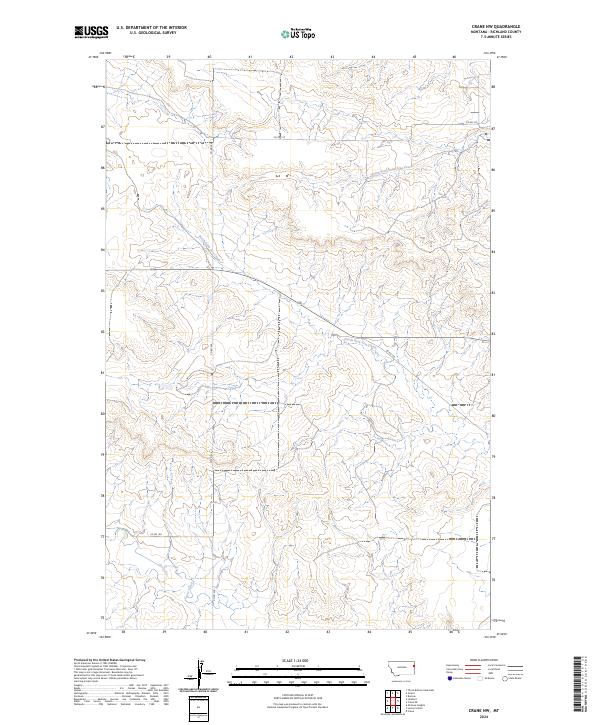
2024 Crane NW
Richland County, MT
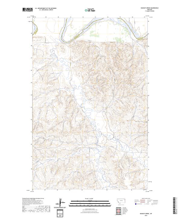
2024 Dugout Creek
Richland County, MT
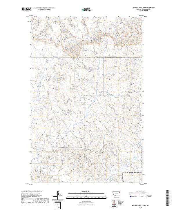
2024 Duplisse Creek North
Richland County, MT
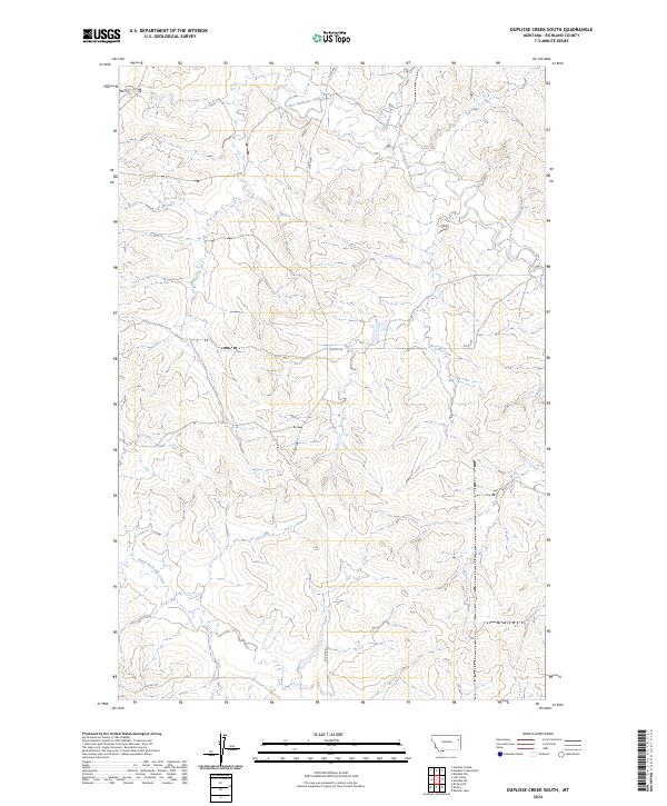
2024 Duplisse Creek South
Richland County, MT
2024 Elm Coulee
Richland County, MT
2024 Elmdale NW
Richland County, MT
2024 Elmdale
Richland County, MT
2024 Elmdale SW
Richland County, MT
2024 Enid
Richland County, MT
2024 Fairview NW
Richland County, MT
2024 Fairview SW
Richland County, MT
2024 Frog Coulee
Richland County, MT
2024 Girard
Richland County, MT
2024 Knife River Mine
Richland County, MT
2024 Kuester Lake
Richland County, MT
2024 Lambert
Richland County, MT
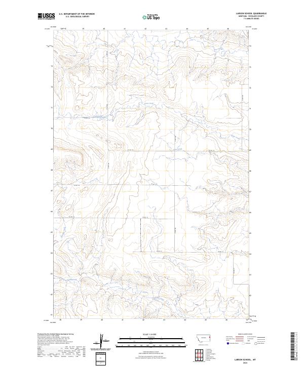
2024 Larson School
Richland County, MT
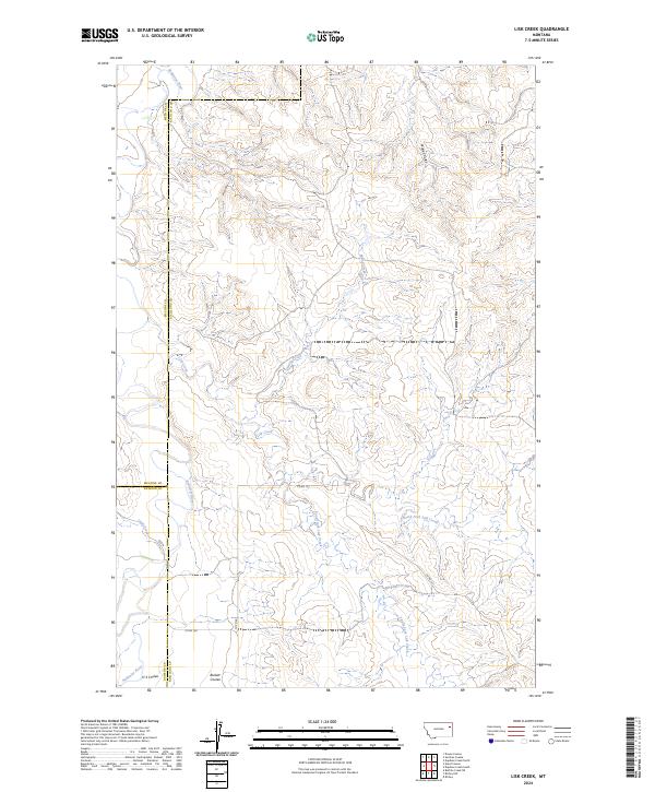
2024 Lisk Creek
Richland County, MT
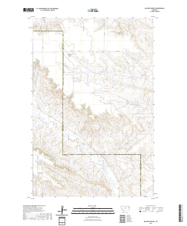
2024 McCone Heights
Richland County, MT
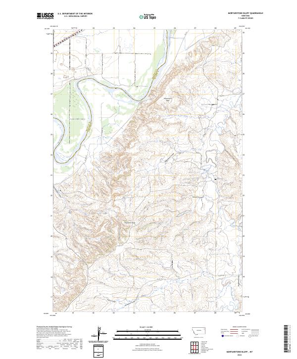
2024 Mortarstone Bluff
Richland County, MT
2024 Piche
Richland County, MT
2024 Sidney NE
Richland County, MT
2024 Sidney SE
Richland County, MT
2024 Sioux Pass
Richland County, MT
2024 Skaar NE
Richland County, MT
2024 Skaar NW
Richland County, MT
2024 Sprole
Richland County, MT
2024 Sullivan Coulee
Richland County, MT
2024 Three Buttes Creek East
Richland County, MT
2024 Three Buttes Creek West
Richland County, MT
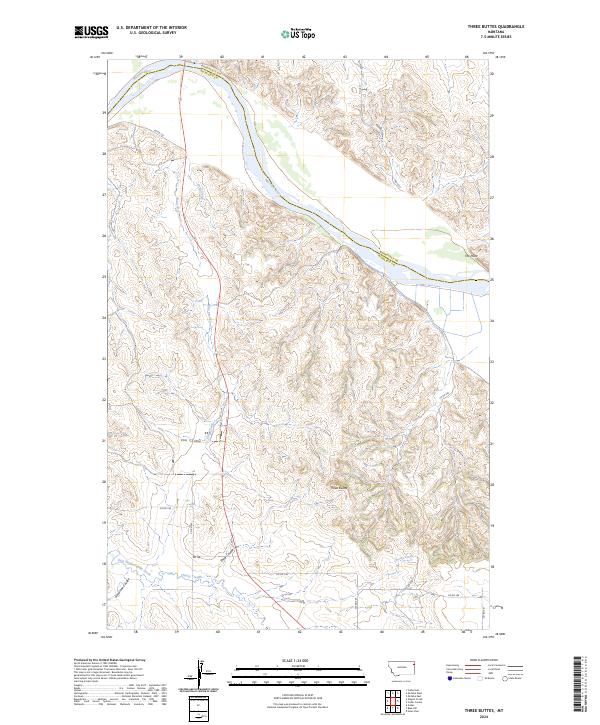
2024 Three Buttes
Richland County, MT
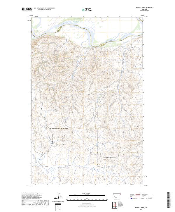
2024 Twomile Creek
Richland County, MT