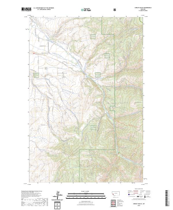
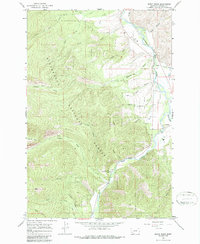
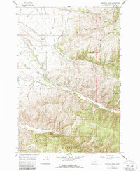
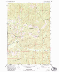
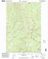
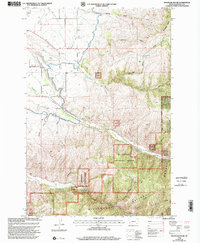
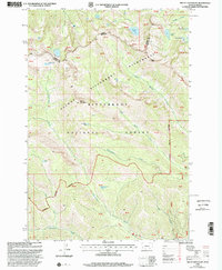
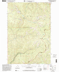
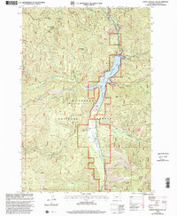
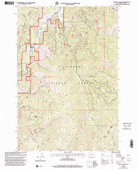
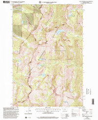
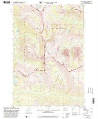
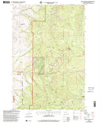
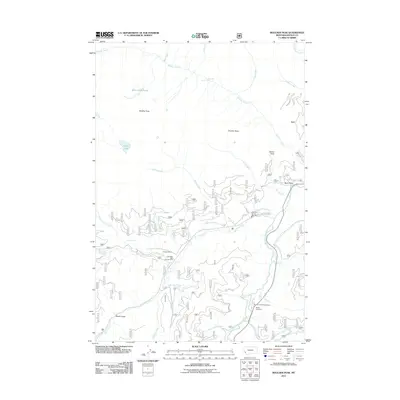
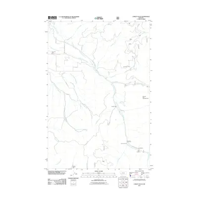
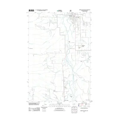
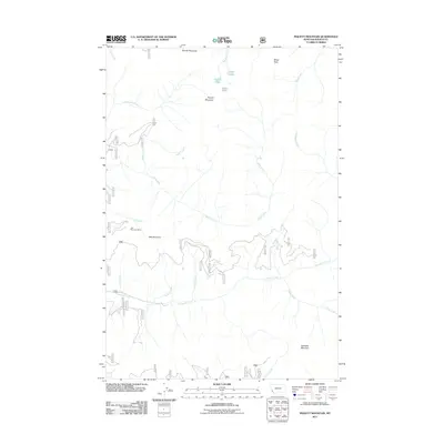
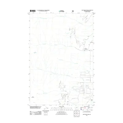
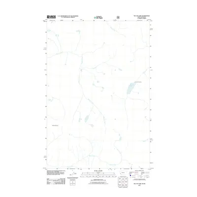
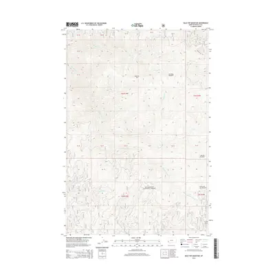
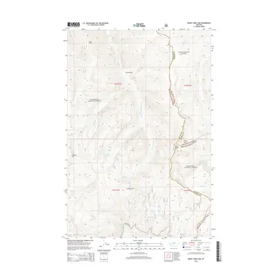
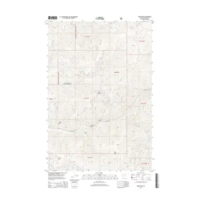
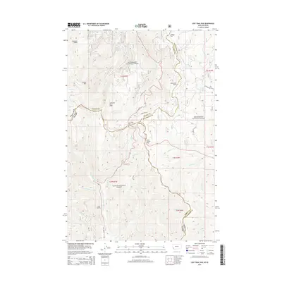
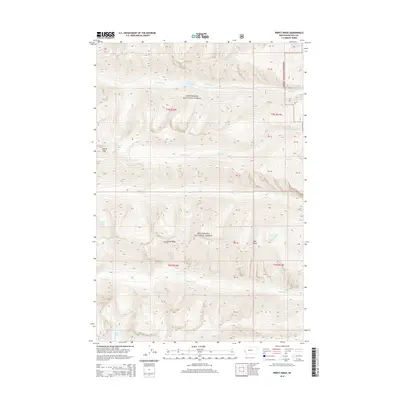
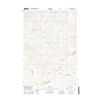
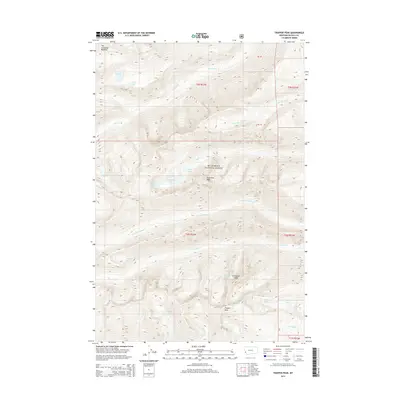
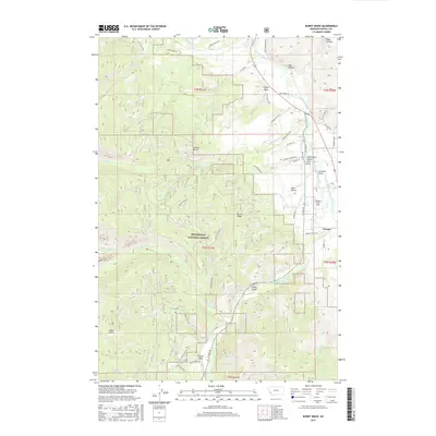
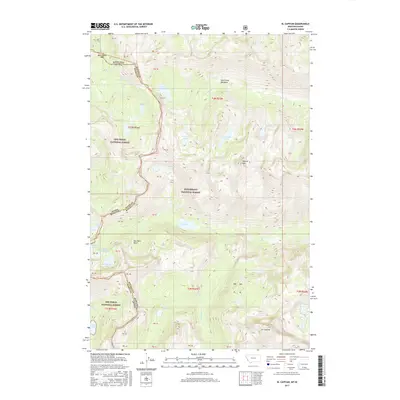
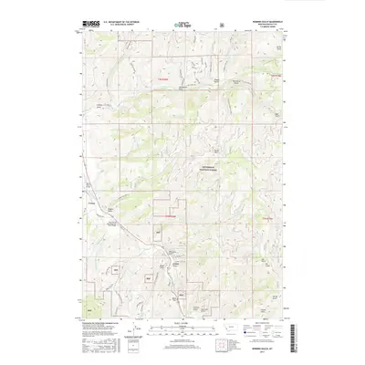
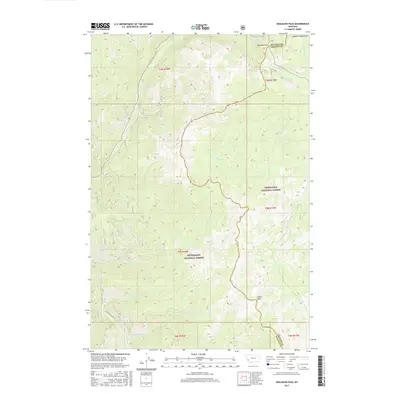
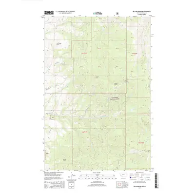
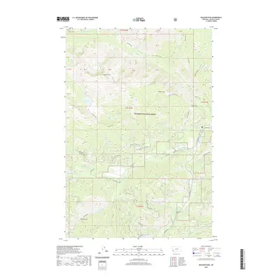
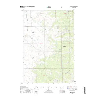
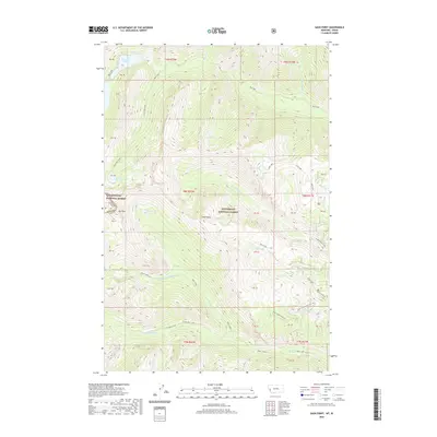
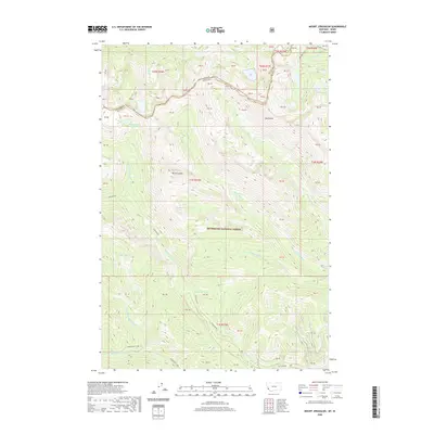
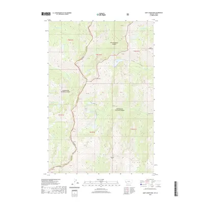
2024 Map of Corley Gulch
USGS Topo · Published 2024About this map
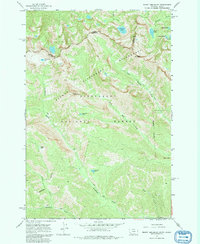
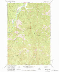
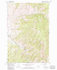
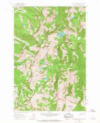
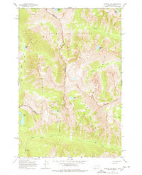
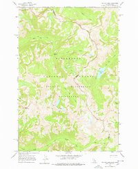
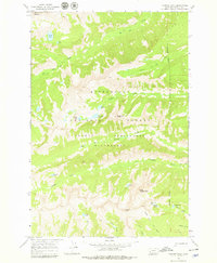
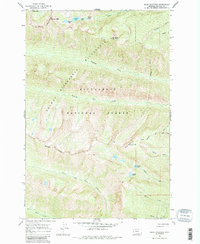
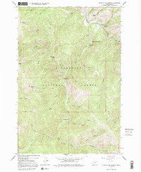
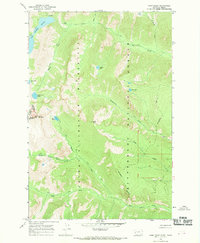
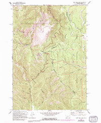
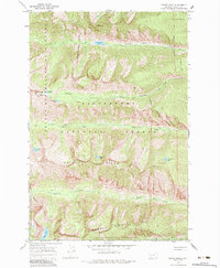
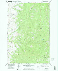
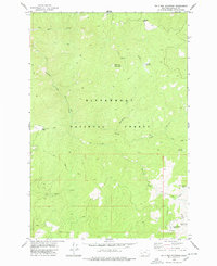
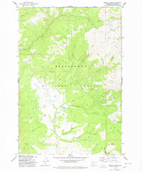
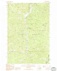
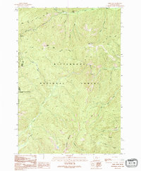
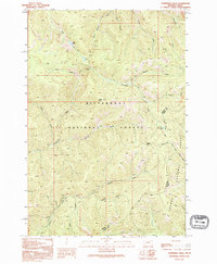
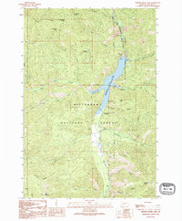
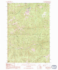
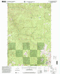
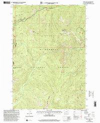
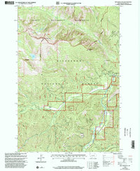
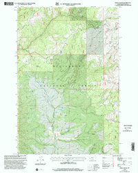
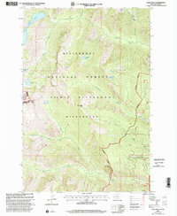
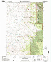
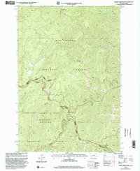
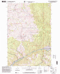
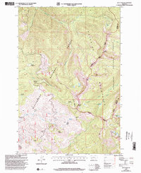
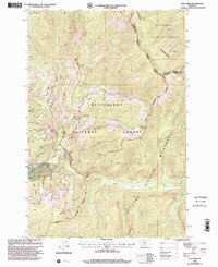
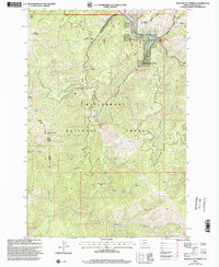
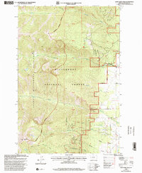
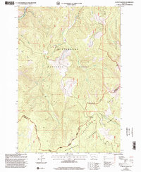
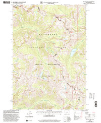
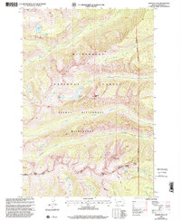
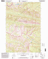
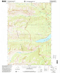
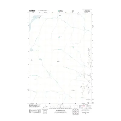
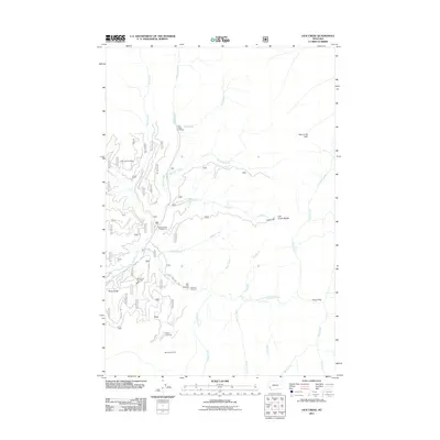
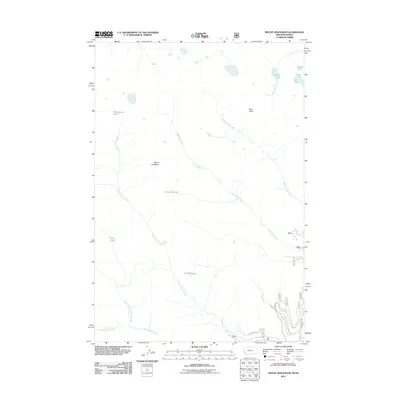
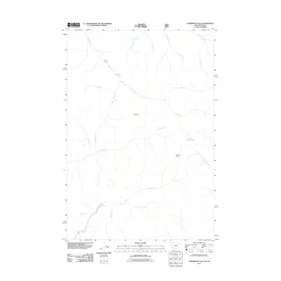
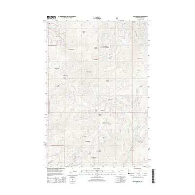
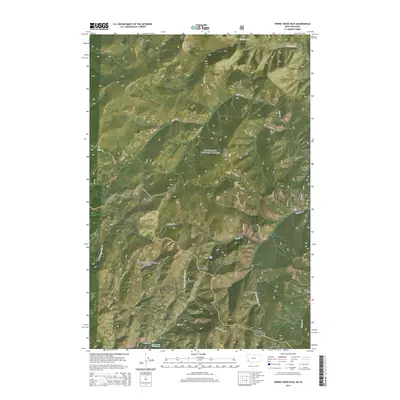
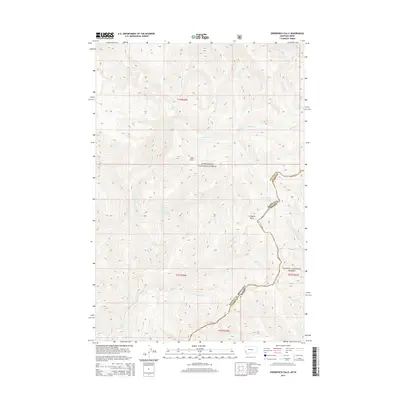
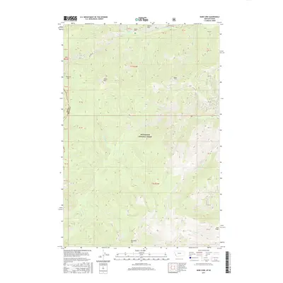
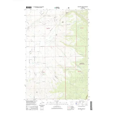
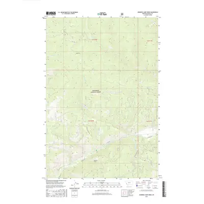
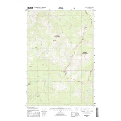
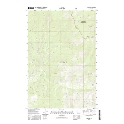
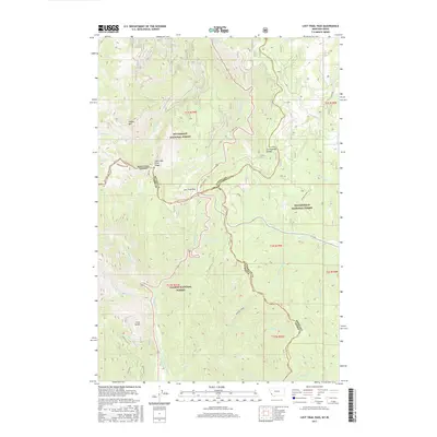
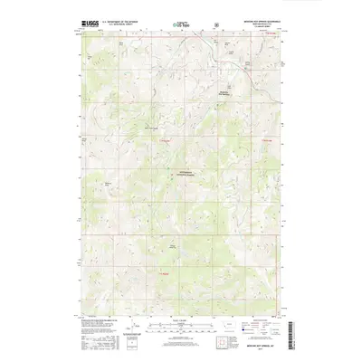
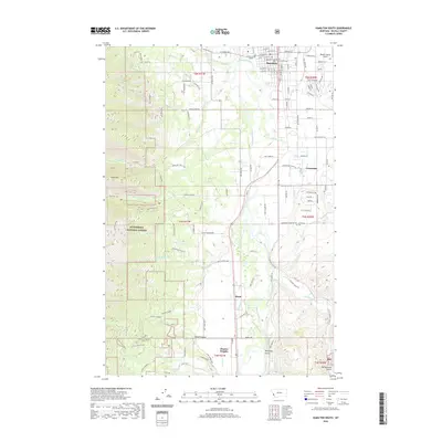
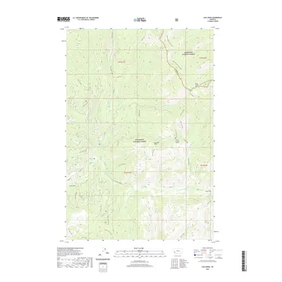
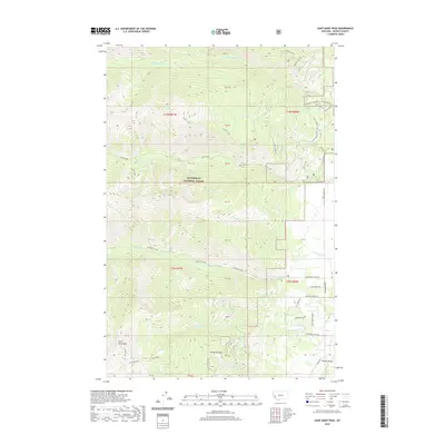
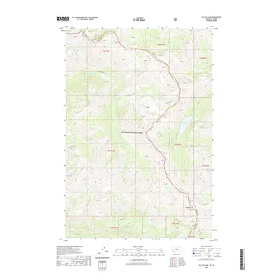
Bitterroot National Forest dominates the eastern half of this terrain, where the slopes of the Sapphire Mountains rise toward Whe-lhd-kleh-tseen Mtn. The landscape is defined by the complex drainage systems of the Middle Burnt Fork-Burnt Fork-Bitterroot River and its many tributaries, including Claremont Creek and Sawmill Creek. To the west, the land transitions into a network of rural roads and homestead tracts, notably along Sunset Bench. The map records a distinct intersection of national forest management and local land use, with access points like Corley Gulch Rd and trails such as the Little Threemile Trl and Gold Creek Trl providing passage through the wooded gulches. Local history is evidenced by family and place-named roads like Upper Burnt Fork School Rd, Rosemont, and Chantillac Rd, indicating the persistent footprint of mountain valley settlement.
Find a feature on this map
57 named features on this map. Tap any name to fly to it.
Don’t see what you’re looking for? This feature index may not catch every label — zoom into the map to look around manually.
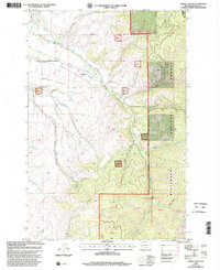
Map Details
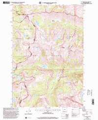
Editions of this 2024 Corley Gulch Map
This is the sole edition of this map. No revisions or reprints were ever made.
Historical Maps of Ravalli County Through Time
287 maps found
1959 Cleveland Mountain
Ravalli County, MT
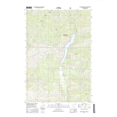
1960 Painted Rocks Lake
Ravalli County, MT
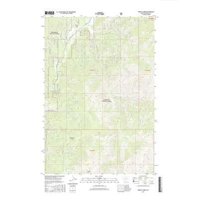
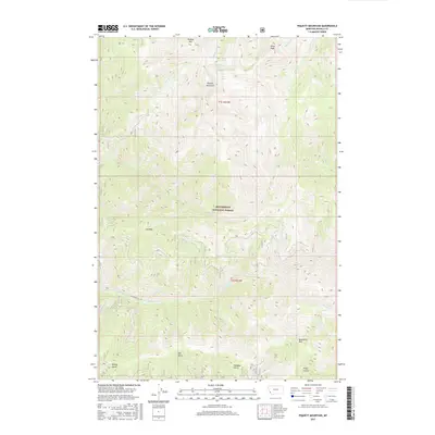
1960 Piquett Mountain
Ravalli County, MT

1964 Boulder Peak
Ravalli County, MT
1964 Burnt Ridge
Ravalli County, MT
1964 Como Peaks
Ravalli County, MT
1964 Deer Mountain
Ravalli County, MT
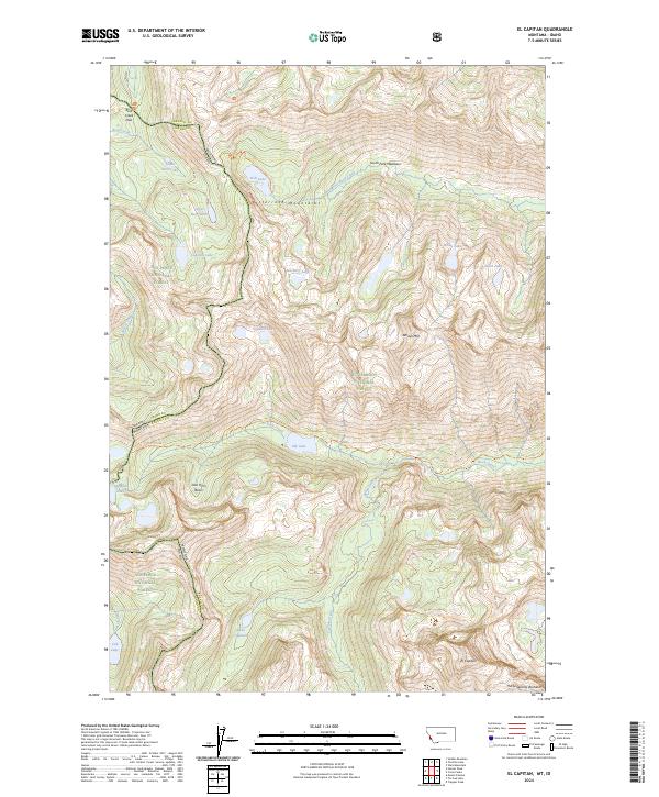
1964 El Capitan
Ravalli County, MT

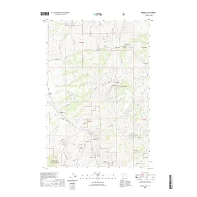
1964 Hamilton South
Ravalli County, MT
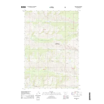
1964 Mountain House
Ravalli County, MT
1964 Mount Jerusalem
Ravalli County, MT
1964 Piquett Creek
Ravalli County, MT
1964 Robbins Gulch
Ravalli County, MT
1964 St. Joseph Peak
Ravalli County, MT
1964 Tenmile Lake
Ravalli County, MT
1964 Tin Cup Lake
Ravalli County, MT
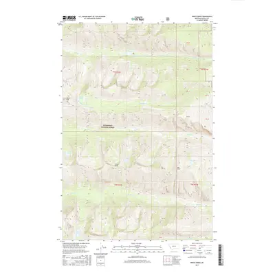
1964 Trapper Peak
Ravalli County, MT
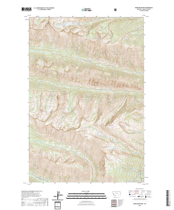
1964 Ward Mountain
Ravalli County, MT
1965 Medicine Hot Springs
Ravalli County, MT
1966 Gash Point
Ravalli County, MT
1966 Lost Trail Pass
Ravalli County, MT
1966 Printz Ridge
Ravalli County, MT
1967 Bing
Ravalli County, MT
1967 Hamilton North
Ravalli County, MT
1967 Saint Mary Peak
Ravalli County, MT

1974 Burnt Fork Lake
Ravalli County, MT

1974 Gird Point
Ravalli County, MT

1974 Kent Peak
Ravalli County, MT
1974 Lick Creek
Ravalli County, MT
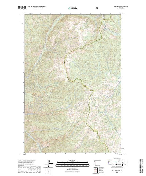
1974 Skalkaho Pass
Ravalli County, MT
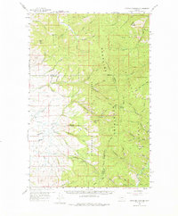
1977 Corley Gulch
Ravalli County, MT
1977 Jennings Camp Creek
Ravalli County, MT

1977 Schultz Saddle
Ravalli County, MT
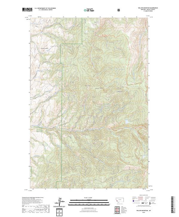
1977 Willow Mountain
Ravalli County, MT
1978 Bald Top Mountain
Ravalli County, MT
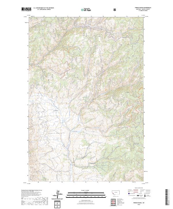
1978 French Basin
Ravalli County, MT

1989 Grayhorse Creek
Ravalli County, MT
1991 Alta
Ravalli County, MT
1991 Bare Cone
Ravalli County, MT

1991 Boulder Peak
Ravalli County, MT

1991 Horse Creek Pass
Ravalli County, MT

1991 Mount Jerusalem
Ravalli County, MT
1991 Overwhich Falls
Ravalli County, MT
1991 Painted Rocks Lake
Ravalli County, MT
1991 Piquett Mountain
Ravalli County, MT

1994 Horse Creek Pass
Ravalli County, MT

1997 Lost Trail Pass
Ravalli County, MT

1998 Alta
Ravalli County, MT
1998 Bald Top Mountain
Ravalli County, MT
1998 Bare Cone
Ravalli County, MT
1998 Bing
Ravalli County, MT
1998 Boulder Peak
Ravalli County, MT
1998 Burnt Fork Lake
Ravalli County, MT

1998 Burnt Ridge
Ravalli County, MT
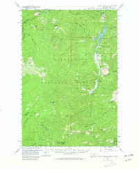
1998 Corley Gulch
Ravalli County, MT
1998 Deer Mountain
Ravalli County, MT
1998 El Capitan
Ravalli County, MT
1998 French Basin
Ravalli County, MT
1998 Gash Point
Ravalli County, MT

1998 Gird Point
Ravalli County, MT
1998 Grayhorse Creek
Ravalli County, MT

1998 Hamilton North
Ravalli County, MT

1998 Hamilton South
Ravalli County, MT
1998 Horse Creek Pass
Ravalli County, MT
1998 Jennings Camp Creek
Ravalli County, MT
1998 Kent Peak
Ravalli County, MT
1998 Lick Creek
Ravalli County, MT
1998 Medicine Hot Springs
Ravalli County, MT
1998 Mountain House
Ravalli County, MT
1998 Mount Jerusalem
Ravalli County, MT
1998 Overwhich Falls
Ravalli County, MT
1998 Painted Rocks Lake
Ravalli County, MT
1998 Piquett Creek
Ravalli County, MT
1998 Piquett Mountain
Ravalli County, MT
1998 Printz Ridge
Ravalli County, MT
1998 Robbins Gulch
Ravalli County, MT
1998 Saint Joseph Peak
Ravalli County, MT
1998 Saint Mary Peak
Ravalli County, MT
1998 Schultz Saddle
Ravalli County, MT
1998 Skalkaho Pass
Ravalli County, MT
1998 Tenmile Lake
Ravalli County, MT
1998 Tin Cup Lake
Ravalli County, MT
1998 Trapper Peak
Ravalli County, MT
1998 Ward Mountain
Ravalli County, MT
1998 Willow Mountain
Ravalli County, MT
1999 Como Peaks
Ravalli County, MT

2011 Alta
Ravalli County, MT

2011 Bald Top Mountain
Ravalli County, MT
2011 Bare Cone
Ravalli County, MT
2011 Bing
Ravalli County, MT
2011 Boulder Peak
Ravalli County, MT
2011 Burnt Fork Lake
Ravalli County, MT
2011 Burnt Ridge
Ravalli County, MT
2011 Como Peaks
Ravalli County, MT
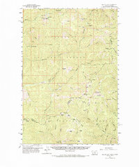
2011 Corley Gulch
Ravalli County, MT
2011 Deer Mountain
Ravalli County, MT
2011 El Capitan
Ravalli County, MT
2011 French Basin
Ravalli County, MT
2011 Gash Point
Ravalli County, MT
2011 Gird Point
Ravalli County, MT
2011 Grayhorse Creek
Ravalli County, MT
2011 Hamilton North
Ravalli County, MT
2011 Hamilton South
Ravalli County, MT
2011 Horse Creek Pass
Ravalli County, MT
2011 Jennings Camp Creek
Ravalli County, MT
2011 Kent Peak
Ravalli County, MT
2011 Lick Creek
Ravalli County, MT
2011 Lost Trail Pass
Ravalli County, MT
2011 Medicine Hot Springs
Ravalli County, MT
2011 Mountain House
Ravalli County, MT
2011 Mount Jerusalem
Ravalli County, MT
2011 Overwhich Falls
Ravalli County, MT
2011 Painted Rocks Lake
Ravalli County, MT
2011 Piquett Creek
Ravalli County, MT
2011 Piquett Mountain
Ravalli County, MT
2011 Printz Ridge
Ravalli County, MT
2011 Robbins Gulch
Ravalli County, MT
2011 Saint Joseph Peak
Ravalli County, MT
2011 Saint Mary Peak
Ravalli County, MT
2011 Schultz Saddle
Ravalli County, MT
2011 Skalkaho Pass
Ravalli County, MT
2011 Tenmile Lake
Ravalli County, MT
2011 Tin Cup Lake
Ravalli County, MT
2011 Trapper Peak
Ravalli County, MT
2011 Ward Mountain
Ravalli County, MT
2011 Willow Mountain
Ravalli County, MT

2014 Alta
Ravalli County, MT
2014 Bald Top Mountain
Ravalli County, MT
2014 Bare Cone
Ravalli County, MT
2014 Bing
Ravalli County, MT
2014 Boulder Peak
Ravalli County, MT
2014 Burnt Fork Lake
Ravalli County, MT
2014 Burnt Ridge
Ravalli County, MT
2014 Como Peaks
Ravalli County, MT
2014 Corley Gulch
Ravalli County, MT
2014 Deer Mountain
Ravalli County, MT
2014 El Capitan
Ravalli County, MT
2014 French Basin
Ravalli County, MT
2014 Gash Point
Ravalli County, MT
2014 Gird Point
Ravalli County, MT
2014 Grayhorse Creek
Ravalli County, MT
2014 Hamilton North
Ravalli County, MT
2014 Hamilton South
Ravalli County, MT
2014 Horse Creek Pass
Ravalli County, MT
2014 Jennings Camp Creek
Ravalli County, MT
2014 Kent Peak
Ravalli County, MT
2014 Lick Creek
Ravalli County, MT
2014 Lost Trail Pass
Ravalli County, MT
2014 Medicine Hot Springs
Ravalli County, MT
2014 Mountain House
Ravalli County, MT
2014 Mount Jerusalem
Ravalli County, MT
2014 Overwhich Falls
Ravalli County, MT
2014 Painted Rocks Lake
Ravalli County, MT
2014 Piquett Creek
Ravalli County, MT
2014 Piquett Mountain
Ravalli County, MT
2014 Printz Ridge
Ravalli County, MT
2014 Robbins Gulch
Ravalli County, MT
2014 Saint Joseph Peak
Ravalli County, MT
2014 Saint Mary Peak
Ravalli County, MT
2014 Schultz Saddle
Ravalli County, MT
2014 Skalkaho Pass
Ravalli County, MT
2014 Tenmile Lake
Ravalli County, MT
2014 Tin Cup Lake
Ravalli County, MT
2014 Trapper Peak
Ravalli County, MT
2014 Ward Mountain
Ravalli County, MT
2014 Willow Mountain
Ravalli County, MT

2017 Alta
Ravalli County, MT
2017 Bald Top Mountain
Ravalli County, MT
2017 Bare Cone
Ravalli County, MT
2017 Bing
Ravalli County, MT
2017 Boulder Peak
Ravalli County, MT
2017 Burnt Fork Lake
Ravalli County, MT
2017 Burnt Ridge
Ravalli County, MT
2017 Como Peaks
Ravalli County, MT
2017 Corley Gulch
Ravalli County, MT
2017 Deer Mountain
Ravalli County, MT
2017 El Capitan
Ravalli County, MT
2017 French Basin
Ravalli County, MT
2017 Gash Point
Ravalli County, MT
2017 Gird Point
Ravalli County, MT
2017 Grayhorse Creek
Ravalli County, MT
2017 Hamilton North
Ravalli County, MT
2017 Hamilton South
Ravalli County, MT
2017 Horse Creek Pass
Ravalli County, MT
2017 Jennings Camp Creek
Ravalli County, MT
2017 Kent Peak
Ravalli County, MT
2017 Lick Creek
Ravalli County, MT
2017 Lost Trail Pass
Ravalli County, MT
2017 Medicine Hot Springs
Ravalli County, MT
2017 Mountain House
Ravalli County, MT
2017 Mount Jerusalem
Ravalli County, MT
2017 Overwhich Falls
Ravalli County, MT
2017 Painted Rocks Lake
Ravalli County, MT
2017 Piquett Creek
Ravalli County, MT
2017 Piquett Mountain
Ravalli County, MT
2017 Printz Ridge
Ravalli County, MT
2017 Robbins Gulch
Ravalli County, MT
2017 Saint Joseph Peak
Ravalli County, MT
2017 Saint Mary Peak
Ravalli County, MT
2017 Schultz Saddle
Ravalli County, MT
2017 Skalkaho Pass
Ravalli County, MT
2017 Tenmile Lake
Ravalli County, MT
2017 Tin Cup Lake
Ravalli County, MT
2017 Trapper Peak
Ravalli County, MT

2017 Ward Mountain
Ravalli County, MT
2017 Willow Mountain
Ravalli County, MT

2020 Alta
Ravalli County, MT
2020 Bald Top Mountain
Ravalli County, MT
2020 Bare Cone
Ravalli County, MT
2020 Bing
Ravalli County, MT
2020 Boulder Peak
Ravalli County, MT
2020 Burnt Fork Lake
Ravalli County, MT
2020 Burnt Ridge
Ravalli County, MT
2020 Como Peaks
Ravalli County, MT
2020 Corley Gulch
Ravalli County, MT
2020 Deer Mountain
Ravalli County, MT
2020 El Capitan
Ravalli County, MT
2020 French Basin
Ravalli County, MT
2020 Gash Point
Ravalli County, MT
2020 Gird Point
Ravalli County, MT
2020 Grayhorse Creek
Ravalli County, MT
2020 Hamilton North
Ravalli County, MT
2020 Hamilton South
Ravalli County, MT
2020 Horse Creek Pass
Ravalli County, MT
2020 Jennings Camp Creek
Ravalli County, MT
2020 Kent Peak
Ravalli County, MT
2020 Lick Creek
Ravalli County, MT
2020 Lost Trail Pass
Ravalli County, MT
2020 Medicine Hot Springs
Ravalli County, MT
2020 Mountain House
Ravalli County, MT
2020 Mount Jerusalem
Ravalli County, MT
2020 Overwhich Falls
Ravalli County, MT
2020 Painted Rocks Lake
Ravalli County, MT
2020 Piquett Creek
Ravalli County, MT
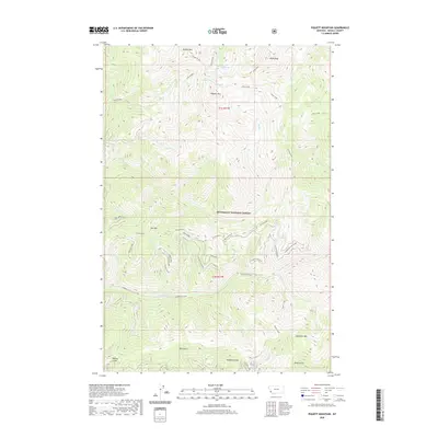
2020 Piquett Mountain
Ravalli County, MT
2020 Printz Ridge
Ravalli County, MT
2020 Robbins Gulch
Ravalli County, MT
2020 Saint Joseph Peak
Ravalli County, MT
2020 Saint Mary Peak
Ravalli County, MT
2020 Schultz Saddle
Ravalli County, MT
2020 Skalkaho Pass
Ravalli County, MT
2020 Tenmile Lake
Ravalli County, MT
2020 Tin Cup Lake
Ravalli County, MT
2020 Trapper Peak
Ravalli County, MT
2020 Ward Mountain
Ravalli County, MT
2020 Willow Mountain
Ravalli County, MT

2023 Alta
Ravalli County, MT

2024 Alta
Ravalli County, MT
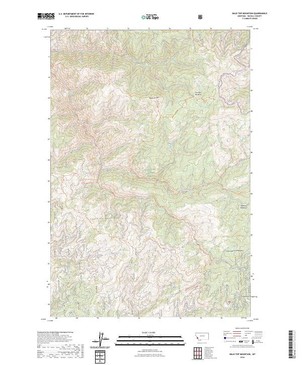
2024 Bald Top Mountain
Ravalli County, MT
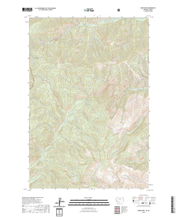
2024 Bare Cone
Ravalli County, MT
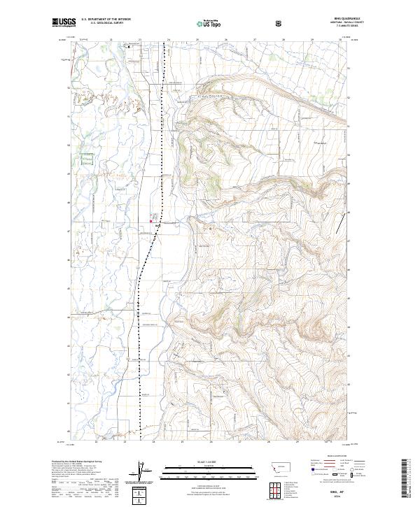
2024 Bing
Ravalli County, MT
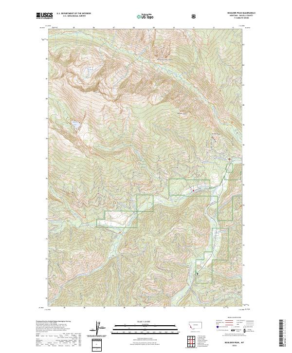
2024 Boulder Peak
Ravalli County, MT
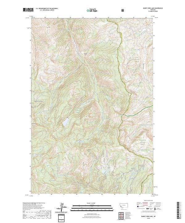
2024 Burnt Fork Lake
Ravalli County, MT
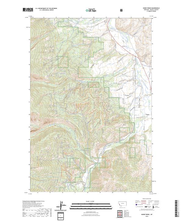
2024 Burnt Ridge
Ravalli County, MT
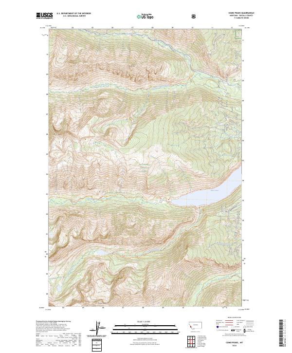
2024 Como Peaks
Ravalli County, MT
2024 Corley Gulch
Ravalli County, MT
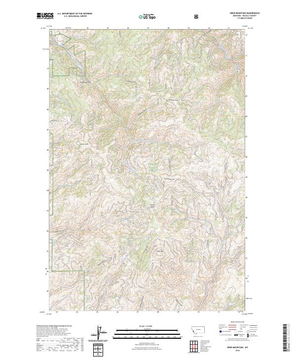
2024 Deer Mountain
Ravalli County, MT
2024 El Capitan
Ravalli County, MT
2024 French Basin
Ravalli County, MT
2024 Gash Point
Ravalli County, MT
2024 Gird Point
Ravalli County, MT
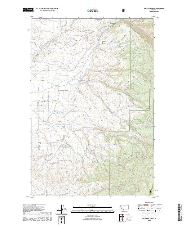
2024 Grayhorse Creek
Ravalli County, MT
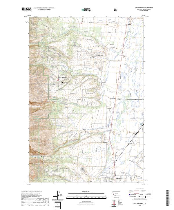
2024 Hamilton North
Ravalli County, MT
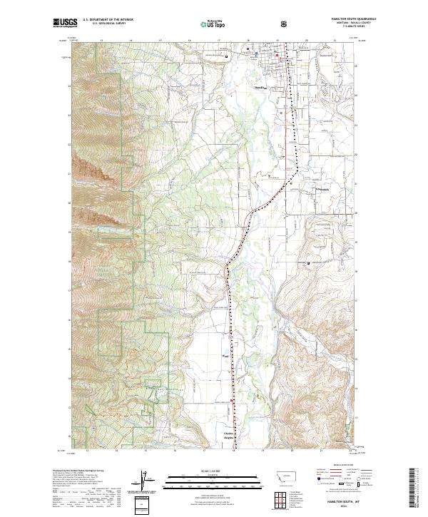
2024 Hamilton South
Ravalli County, MT
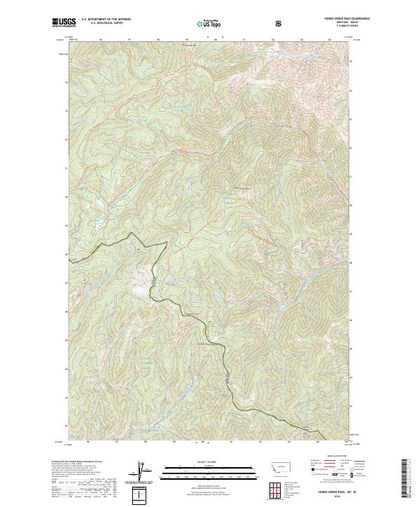
2024 Horse Creek Pass
Ravalli County, MT
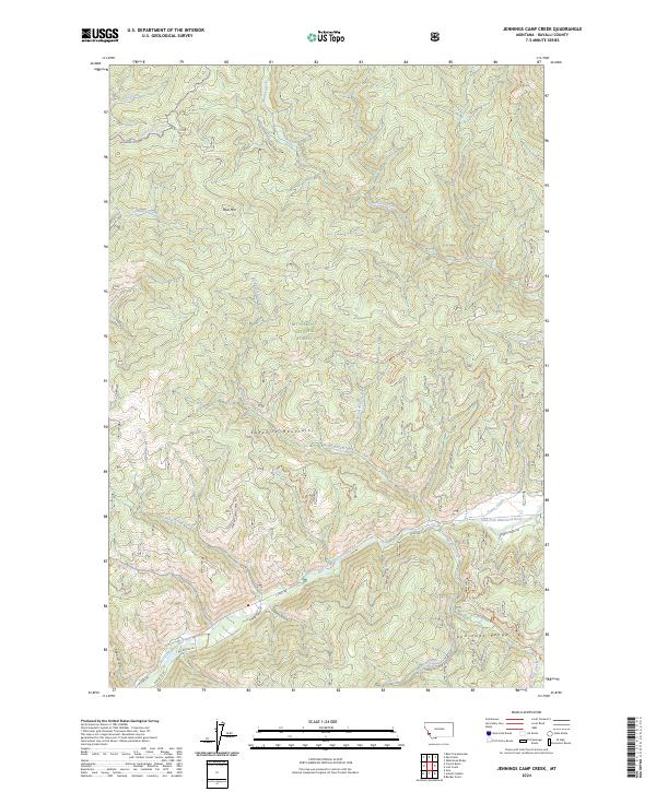
2024 Jennings Camp Creek
Ravalli County, MT
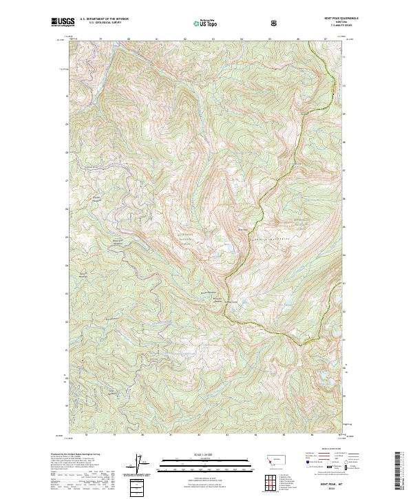
2024 Kent Peak
Ravalli County, MT
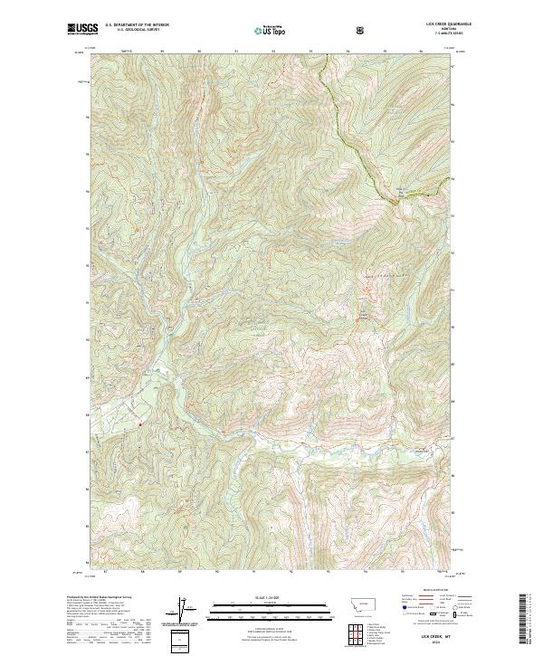
2024 Lick Creek
Ravalli County, MT
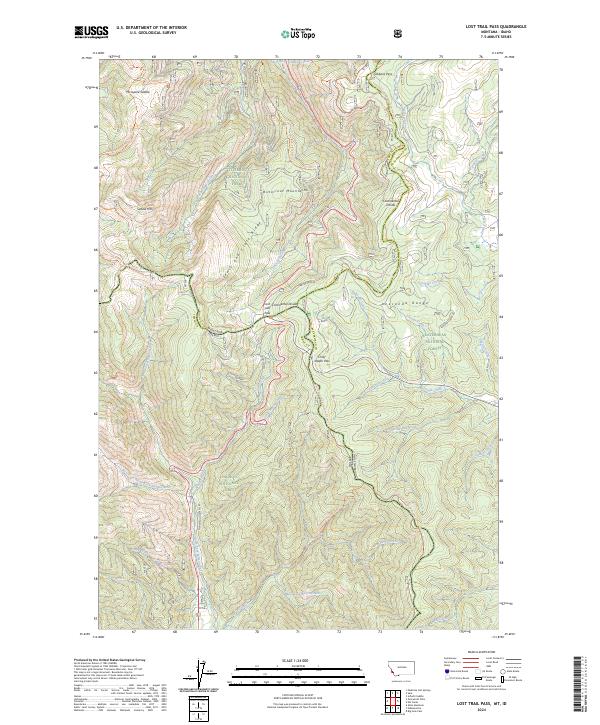
2024 Lost Trail Pass
Ravalli County, MT
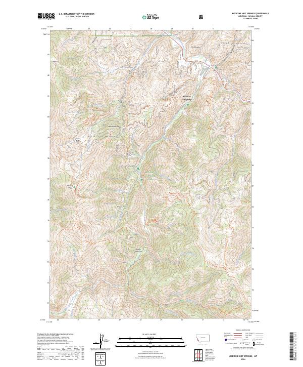
2024 Medicine Hot Springs
Ravalli County, MT
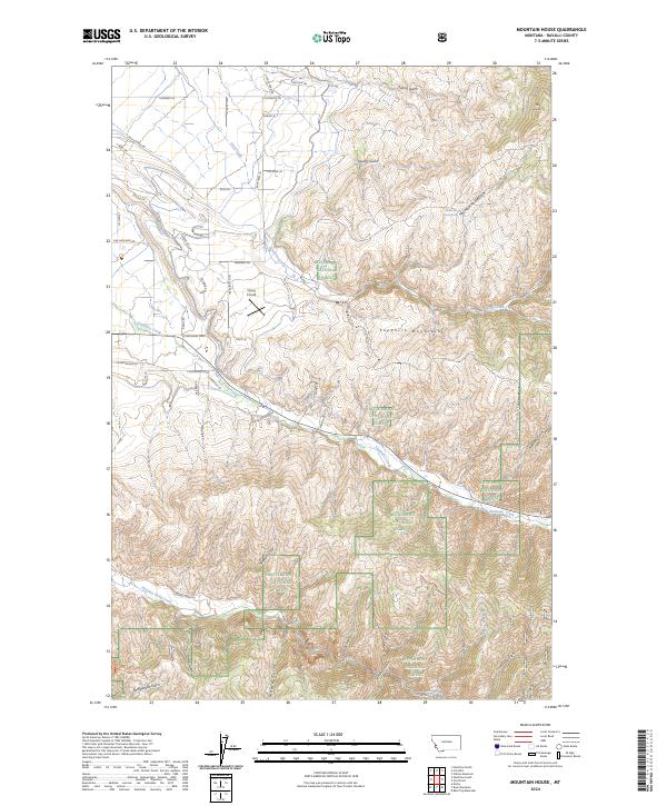
2024 Mountain House
Ravalli County, MT
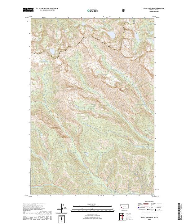
2024 Mount Jerusalem
Ravalli County, MT
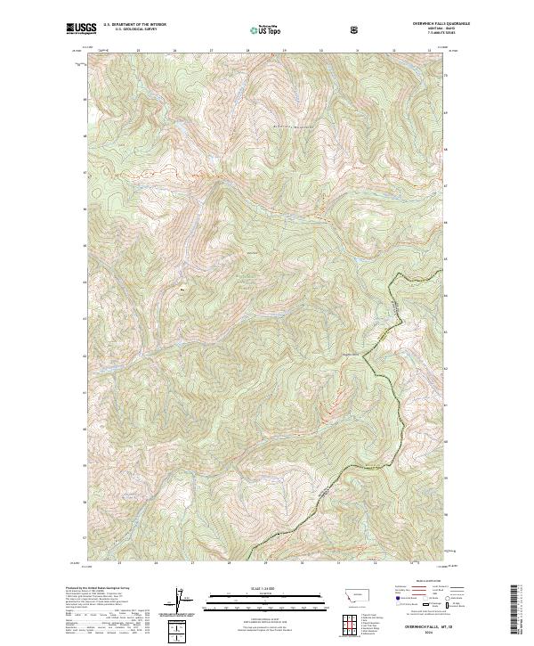
2024 Overwhich Falls
Ravalli County, MT
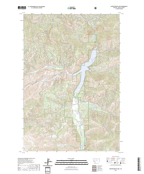
2024 Painted Rocks Lake
Ravalli County, MT
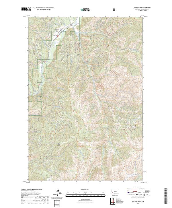
2024 Piquett Creek
Ravalli County, MT
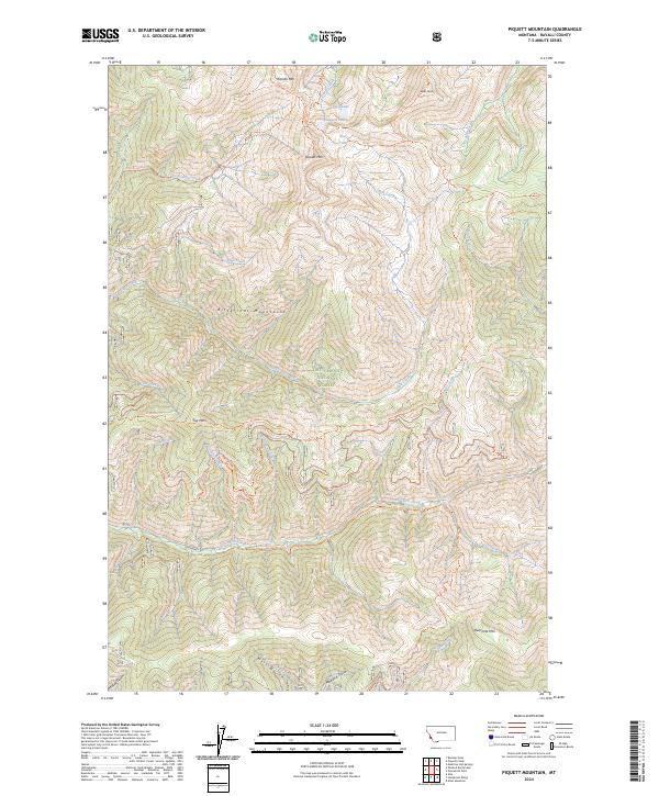
2024 Piquett Mountain
Ravalli County, MT
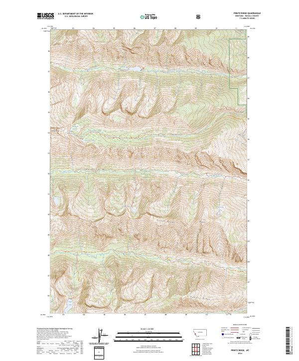
2024 Printz Ridge
Ravalli County, MT
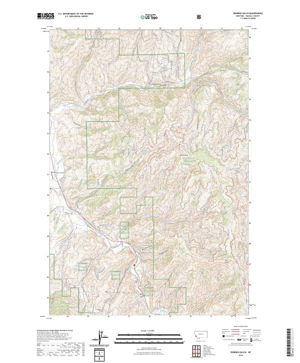
2024 Robbins Gulch
Ravalli County, MT
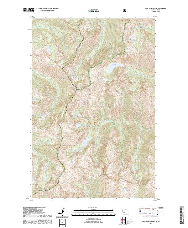
2024 Saint Joseph Peak
Ravalli County, MT
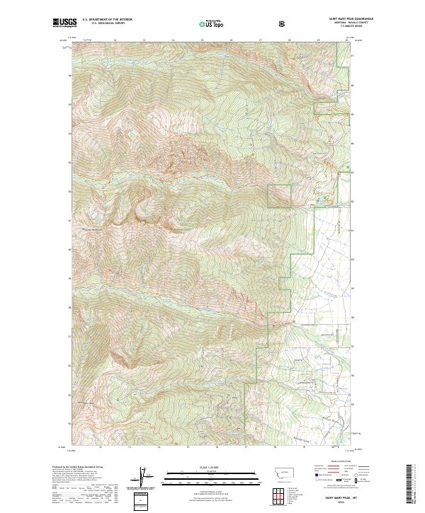
2024 Saint Mary Peak
Ravalli County, MT
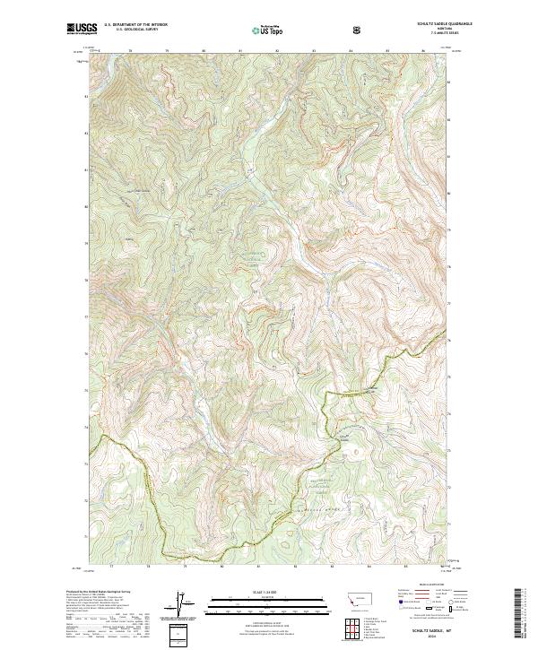
2024 Schultz Saddle
Ravalli County, MT
2024 Skalkaho Pass
Ravalli County, MT
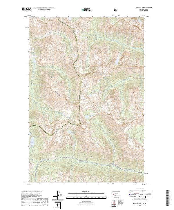
2024 Tenmile Lake
Ravalli County, MT
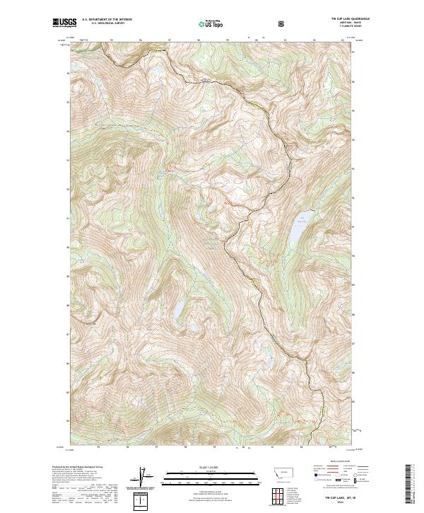
2024 Tin Cup Lake
Ravalli County, MT
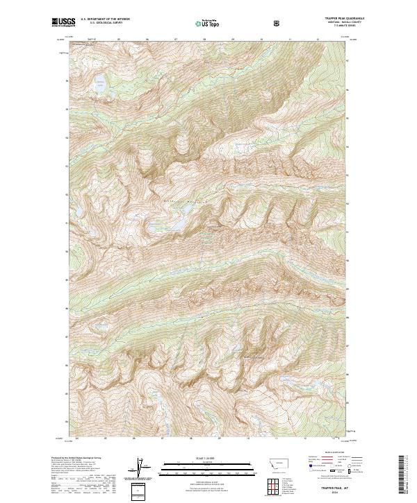
2024 Trapper Peak
Ravalli County, MT
2024 Ward Mountain
Ravalli County, MT
2024 Willow Mountain
Ravalli County, MT