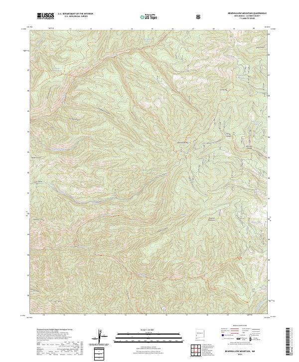
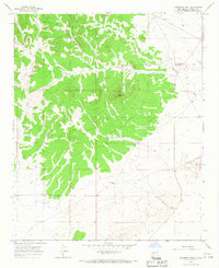
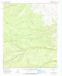
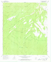
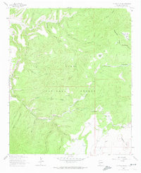
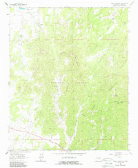
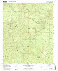
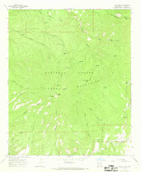
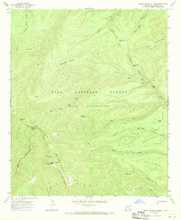
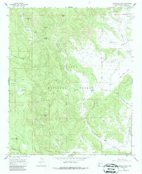
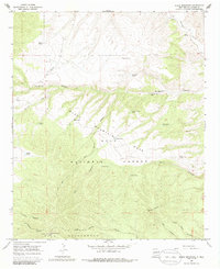
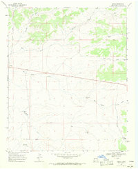
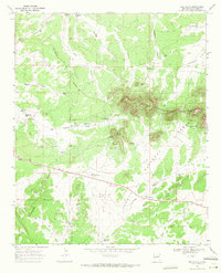
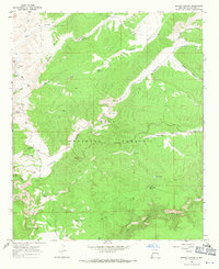
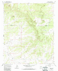
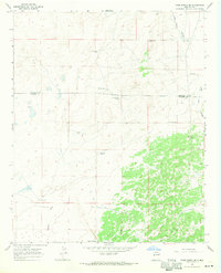
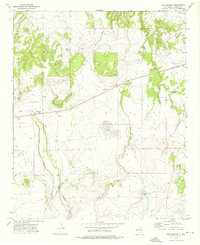
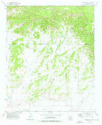
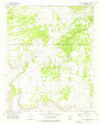
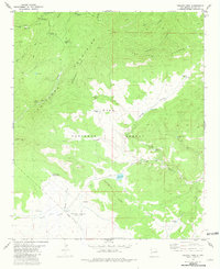
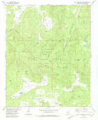
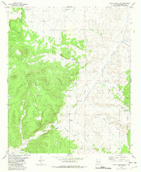
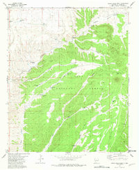
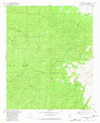
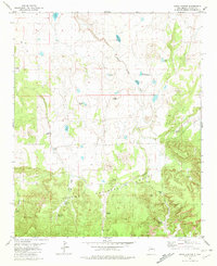
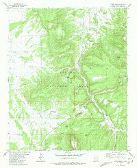
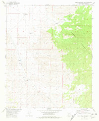
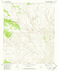
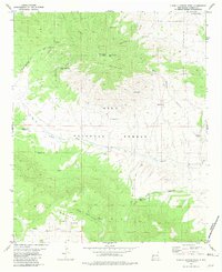
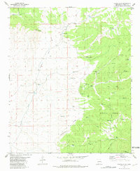
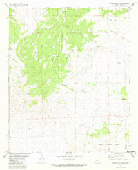
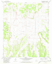
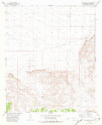
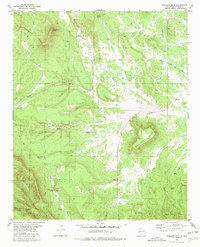
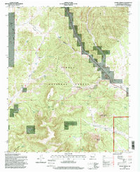
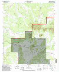
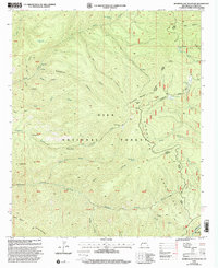
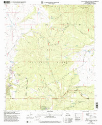
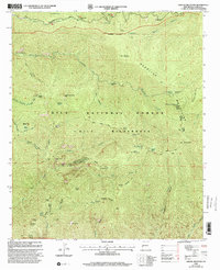
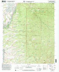
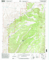
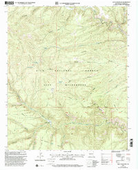
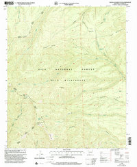
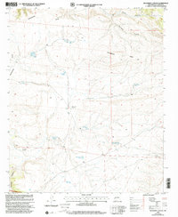
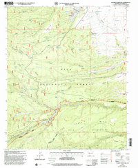
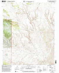
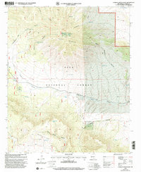
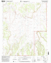
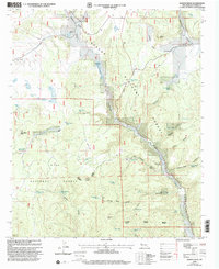
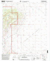
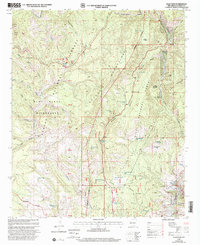
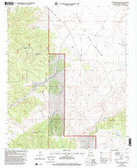
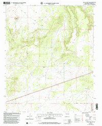
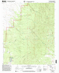
2023 Map of Bearwallow Mountain
USGS Topo · Published 2023About this map
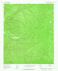
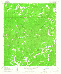
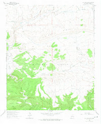
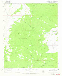
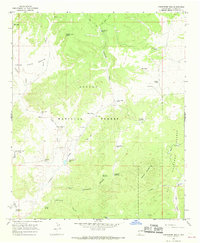
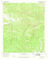
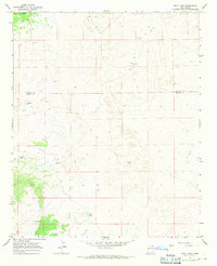
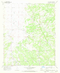
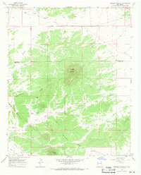
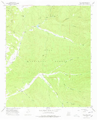
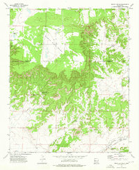
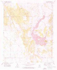
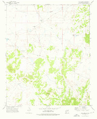
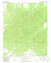
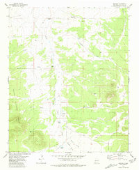
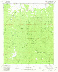
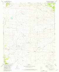
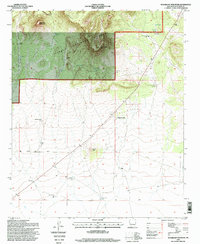
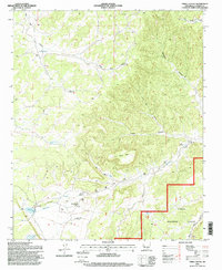
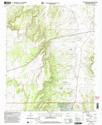
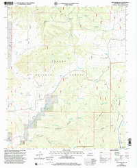
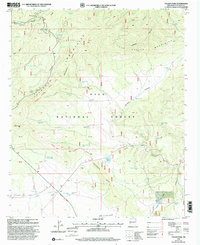
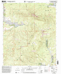
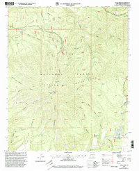
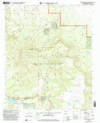
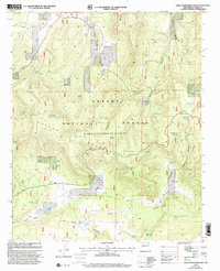
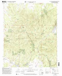
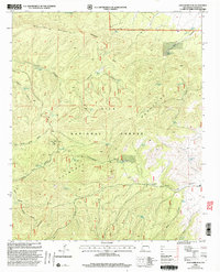
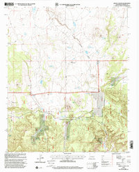
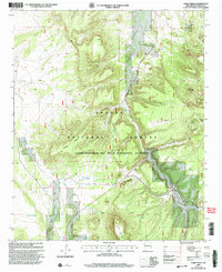
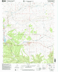
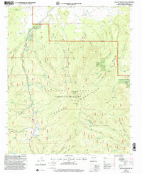
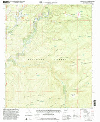
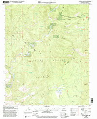
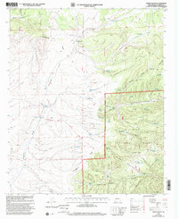
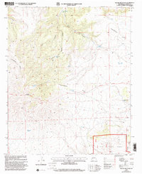
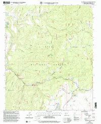
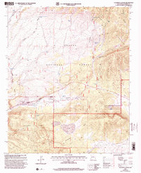
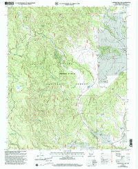
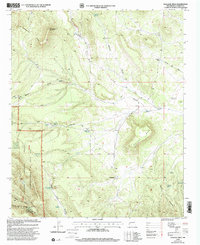
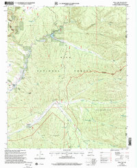
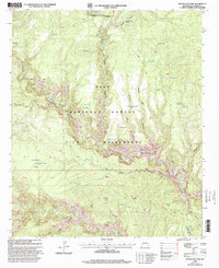
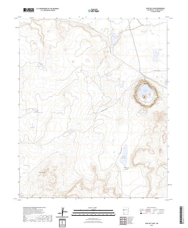
The Mogollon Mountains dominate this high-elevation landscape within the Gila National Forest, where steep canyons and volcanic peaks define the terrain. Notable features like Bearwallow Mtn and Cooney Peak are connected by a network of forest service routes, including the Bearwallow Lookout Rd. The area is characterized by its complex drainage systems, with Mineral Creek and Bearwallow Creek carving through the mountains. Small wetlands and livestock water sources, such as Turkey Cienega, Bill Lewis Cienega, and Hogwallow Pit Tank, are scattered throughout the region, reflecting the land's utility for seasonal grazing. This survey provides a contemporary view of the Gila Wilderness boundary, showing the enduring primitive nature of the terrain through named landmarks like Savage Canyon and Gooseberry Canyon.
Find a feature on this map
50 named features on this map. Tap any name to fly to it.
Don’t see what you’re looking for? This feature index may not catch every label — zoom into the map to look around manually.
Map Details
Editions of this 2023 Bearwallow Mountain Map
This is the sole edition of this map. No revisions or reprints were ever made.
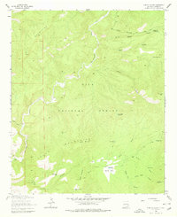
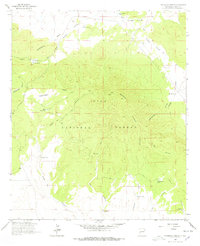
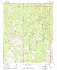
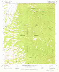
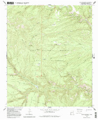
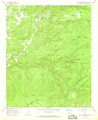
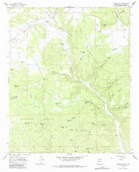
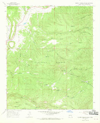
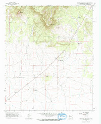
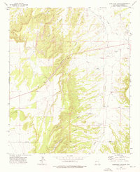
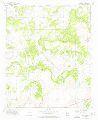
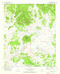
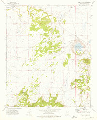
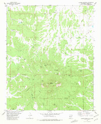
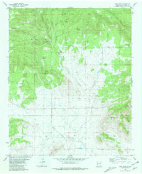
Historical Maps of Old Waterman Place Through Time
256 maps found

1911 Alum Mountain
Catron County, NM
1913 Alum Mountain
Catron County, NM
1918 Pelona
Catron County, NM
1955 Red Hill
Catron County, NM
1963 Anderson Peak
Catron County, NM
1963 Bearwallow Mountain
Catron County, NM
1963 Cal Ship Mesa
Catron County, NM
1963 Loco Mountain
Catron County, NM
1963 Negrito Mountain
Catron County, NM
1963 O Block Canyon
Catron County, NM
1963 Pitchfork Canyon
Catron County, NM
1963 Saliz Pass
Catron County, NM
1963 Sign Camp Mountain
Catron County, NM
1963 Telephone Canyon
Catron County, NM
1964 Bonine Canyon
Catron County, NM
1964 Crosby Springs
Catron County, NM
1964 Madre Mountain
Catron County, NM
1964 Pasture Canyon
Catron County, NM
1964 Third Canyon
Catron County, NM
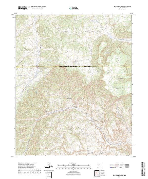
1964 Wild Horse Canyon
Catron County, NM
1965 Bull Basin
Catron County, NM
1965 Canyon Creek Mountains
Catron County, NM
1965 Centerfire Bog
Catron County, NM
1965 Dillon Mountain
Catron County, NM
1965 Eagle Peak
Catron County, NM

1965 Grouse Mountain
Catron County, NM
1965 Holt Mountain
Catron County, NM
1965 Lilley Mountain
Catron County, NM
1965 Milligan Mountain
Catron County, NM
1965 Mogollon Baldy Peak
Catron County, NM
1965 Queens Head
Catron County, NM
1965 Squirrel Springs Canyon
Catron County, NM
1965 Sugarloaf Mountain
Catron County, NM
1965 Underwood Lake
Catron County, NM
1965 Wahoo Peak
Catron County, NM
1965 Woodland Park
Catron County, NM
1967 Adams Diggings
Catron County, NM
1967 Black Mountain
Catron County, NM
1967 Blue Hills
Catron County, NM
1967 Burnt Corral Canyon
Catron County, NM
1967 Mariano Springs
Catron County, NM
1967 Omega
Catron County, NM
1967 Red Flats
Catron County, NM
1967 Spring Canyon
Catron County, NM
1967 Techado
Catron County, NM
1967 Trail Lake
Catron County, NM
1967 Tres Lagunas
Catron County, NM
1967 Veteado Mountain
Catron County, NM
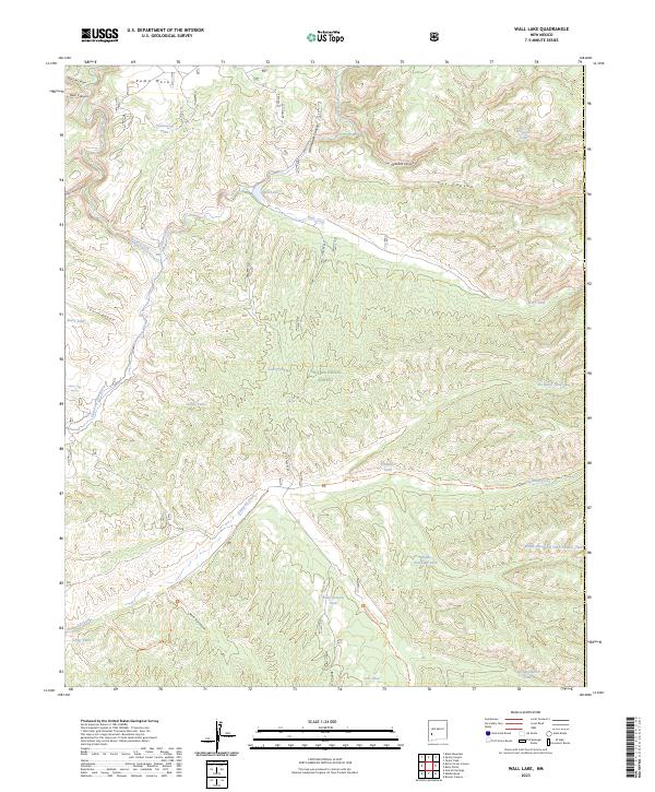
1967 Wall Lake
Catron County, NM
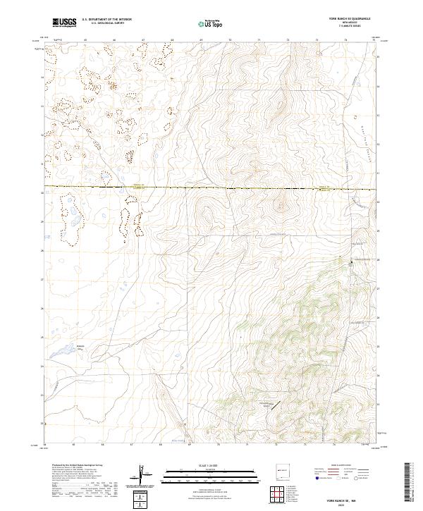
1967 York Ranch SE
Catron County, NM
1972 Armstrong Canyon
Catron County, NM
1972 Blaines Lake
Catron County, NM
1972 Cerro Prieto
Catron County, NM
1972 Cow Springs
Catron County, NM
1972 Fence Lake SW
Catron County, NM
1972 Goat Spring
Catron County, NM
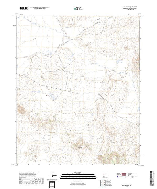
1972 Lake Armijo
Catron County, NM
1972 Moreno Hill
Catron County, NM
1972 Red Hill
Catron County, NM
1972 Salazar Canyon
Catron County, NM
1972 Tejana Mesa
Catron County, NM
1972 Twentytwo Spring
Catron County, NM
1972 Zuni Salt Lake
Catron County, NM
1981 Alegres Mountain
Catron County, NM
1981 Bell Peak
Catron County, NM

1981 C-N Lake
Catron County, NM
1981 Collins Park
Catron County, NM
1981 Cox Peak
Catron County, NM
1981 Escondido Mountain
Catron County, NM
1981 Fullerton
Catron County, NM
1981 Gallo Mountains East
Catron County, NM
1981 Gallo Mountains West
Catron County, NM
1981 Horse Mountain East
Catron County, NM
1981 Horse Mountain West
Catron County, NM
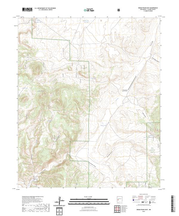
1981 Indian Peaks East
Catron County, NM
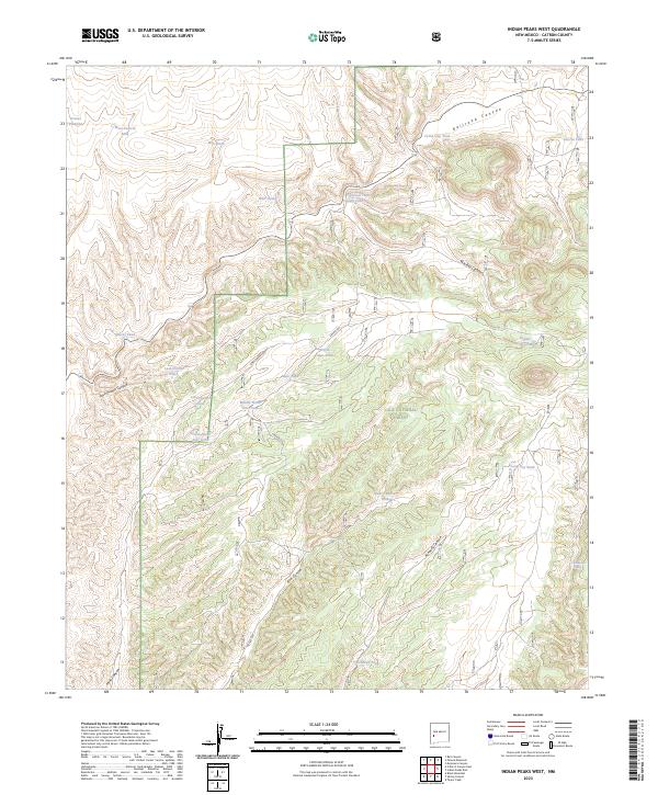
1981 Indian Peaks West
Catron County, NM
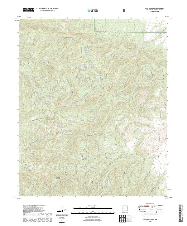
1981 John Kerr Peak
Catron County, NM
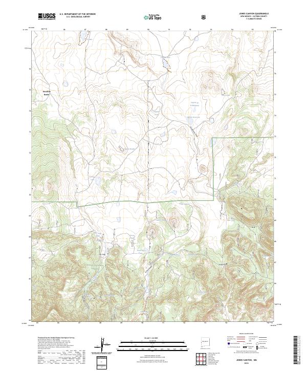
1981 Jones Canyon
Catron County, NM
1981 Largo Mesa
Catron County, NM
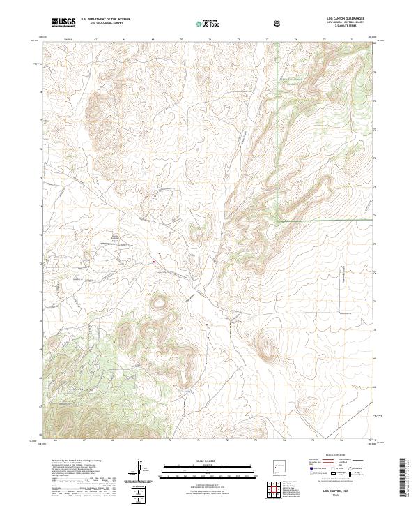
1981 Log Canyon
Catron County, NM
1981 Luera Mountains East
Catron County, NM
1981 Luera Mountains NW
Catron County, NM
1981 Luera Mountains West
Catron County, NM
1981 Mangas
Catron County, NM
1981 Mangas Mountain
Catron County, NM
1981 Mojonera Canyon
Catron County, NM
1981 O Bar O Canyon East
Catron County, NM
1981 O Bar O Canyon West
Catron County, NM
1981 Paddys Hole
Catron County, NM
1981 Pelona Mountain
Catron County, NM
1981 Ponderosa Tank
Catron County, NM
1981 Rael Spring
Catron County, NM
1981 Rail Canyon
Catron County, NM
1981 Salvation Peak
Catron County, NM
1981 Shaw Mountain
Catron County, NM
1981 Slaughter Mesa
Catron County, NM
1981 Tularosa Canyon
Catron County, NM
1981 Wahoo Peak
Catron County, NM
1981 Wallace Mesa
Catron County, NM
1983 Tularosa Mountains
Catron County, NM

1985 Mogollon Mountains
Catron County, NM
1995 Cal Ship Mesa
Catron County, NM
1995 Cox Peak
Catron County, NM
1995 Crosby Springs
Catron County, NM
1995 Log Canyon
Catron County, NM
1995 Madre Mountain
Catron County, NM
1995 Pasture Canyon
Catron County, NM
1995 Red Flats
Catron County, NM
1995 Sugarloaf Mountain
Catron County, NM
1995 Third Canyon
Catron County, NM
1999 Armstrong Canyon
Catron County, NM
1999 Bearwallow Mountain
Catron County, NM
1999 Black Peak
Catron County, NM
1999 Bull Basin
Catron County, NM
1999 Burnt Corral Canyon
Catron County, NM
1999 Canyon Creek Mountains
Catron County, NM
1999 Centerfire Bog
Catron County, NM
1999 Collins Parks
Catron County, NM
1999 Dillon Mountain
Catron County, NM
1999 Eagle Peak
Catron County, NM
1999 Escondido Mountain
Catron County, NM
1999 Gallo Mountains East
Catron County, NM
1999 Gallo Mountains West
Catron County, NM
1999 Grouse Mountain
Catron County, NM
1999 Holt Mountain
Catron County, NM
1999 Horse Mountain West
Catron County, NM
1999 Indian Peaks East
Catron County, NM
1999 Indian Peaks West
Catron County, NM
1999 John Kerr Peak
Catron County, NM
1999 Jones Canyon
Catron County, NM
1999 Largo Mesa
Catron County, NM
1999 Lilley Mountain
Catron County, NM
1999 Loco Mountain
Catron County, NM
1999 Mangas Mountain
Catron County, NM
1999 Milligan Mountain
Catron County, NM
1999 Mogollon Baldy Peak
Catron County, NM
1999 Mojonera Canyon
Catron County, NM
1999 Negrito Mountain
Catron County, NM
1999 O Bar O Canyon East
Catron County, NM
1999 O Bar O Canyon West
Catron County, NM
1999 O Block Canyon
Catron County, NM
1999 Paddys Hole
Catron County, NM
1999 Pelona Mountain
Catron County, NM

1999 Pitchfork Canyon
Catron County, NM
1999 Ponderosa Tank
Catron County, NM
1999 Queens Head
Catron County, NM
1999 Rael Spring
Catron County, NM
1999 Saliz Pass
Catron County, NM
1999 Salvation Peak
Catron County, NM
1999 Sign Camp Mountain
Catron County, NM
1999 Slaughter Mesa
Catron County, NM
1999 Squirrel Springs Canyon
Catron County, NM
1999 Tejana Mesa SW
Catron County, NM
1999 Telephone Canyon
Catron County, NM
1999 Tularosa Canyon
Catron County, NM
1999 Underwood Lake
Catron County, NM
1999 Wahoo Peak
Catron County, NM
1999 Wallace Mesa
Catron County, NM
1999 Wall Lake
Catron County, NM
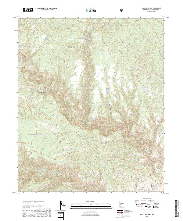
1999 Woodland Park
Catron County, NM
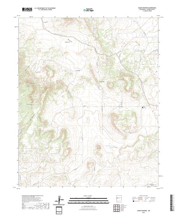
2023 Adams Diggings
Catron County, NM
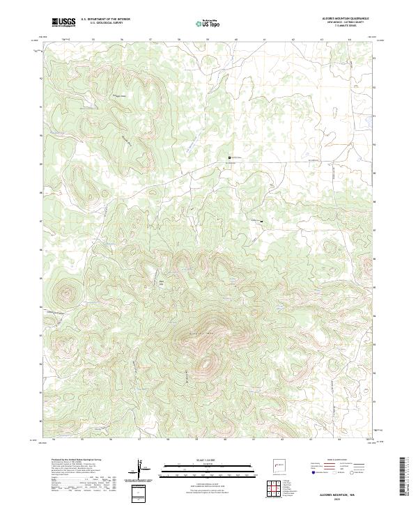
2023 Alegres Mountain
Catron County, NM
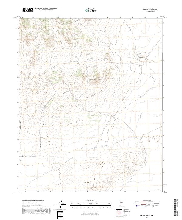
2023 Anderson Peak
Catron County, NM
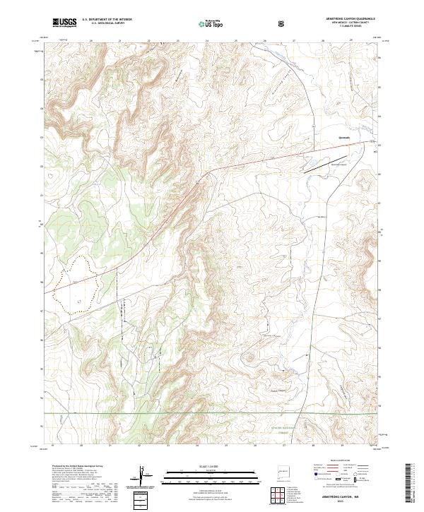
2023 Armstrong Canyon
Catron County, NM
2023 Bearwallow Mountain
Catron County, NM
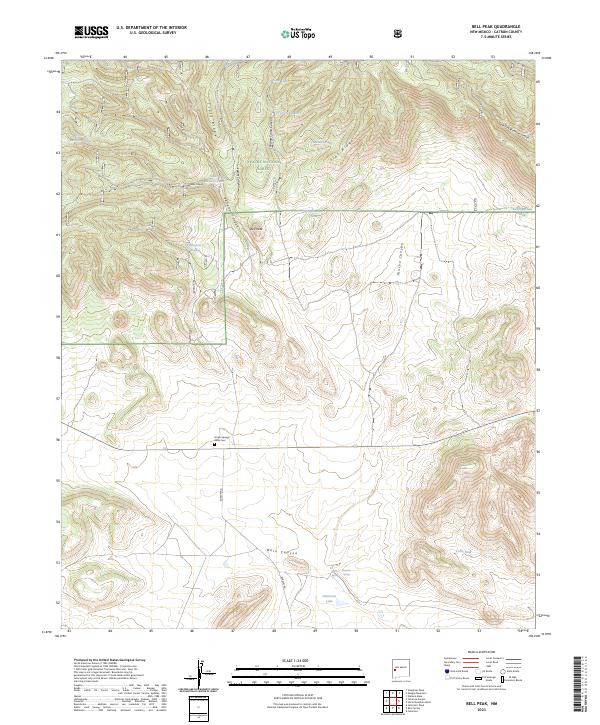
2023 Bell Peak
Catron County, NM
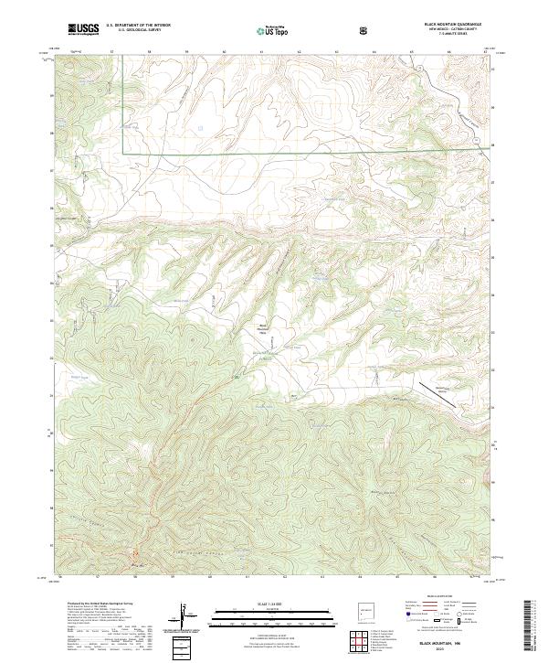
2023 Black Mountain
Catron County, NM
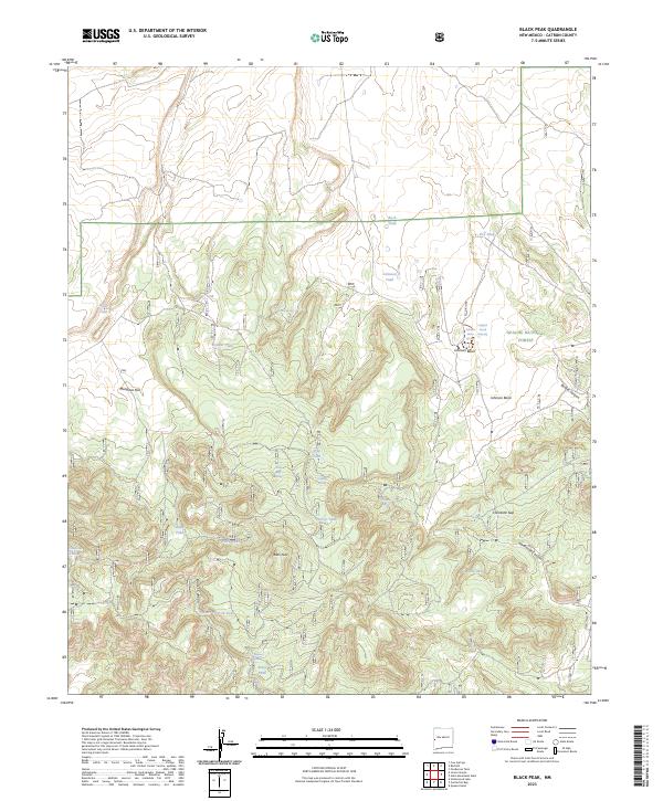
2023 Black Peak
Catron County, NM
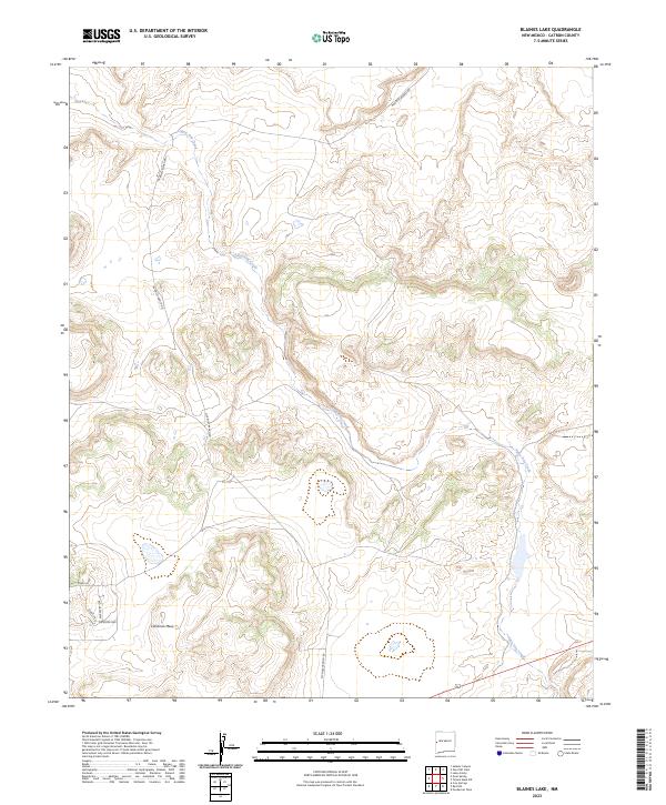
2023 Blaines Lake
Catron County, NM
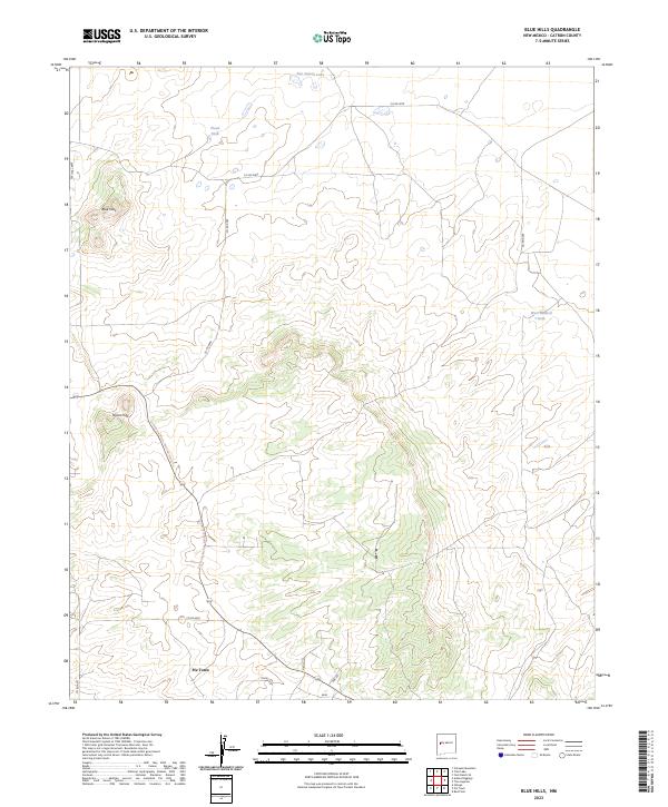
2023 Blue Hills
Catron County, NM
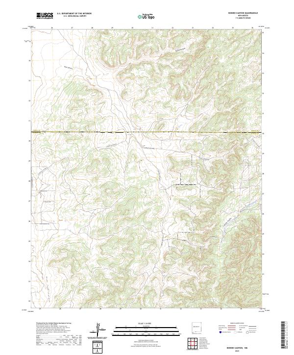
2023 Bonine Canyon
Catron County, NM
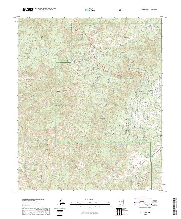
2023 Bull Basin
Catron County, NM
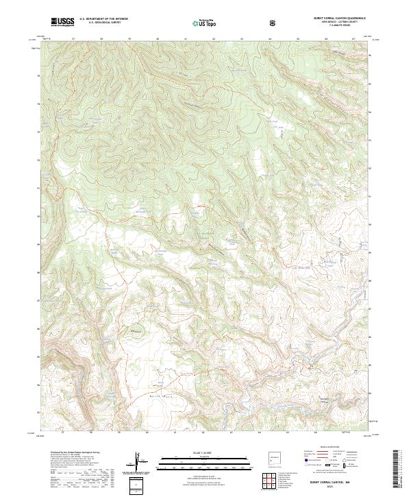
2023 Burnt Corral Canyon
Catron County, NM
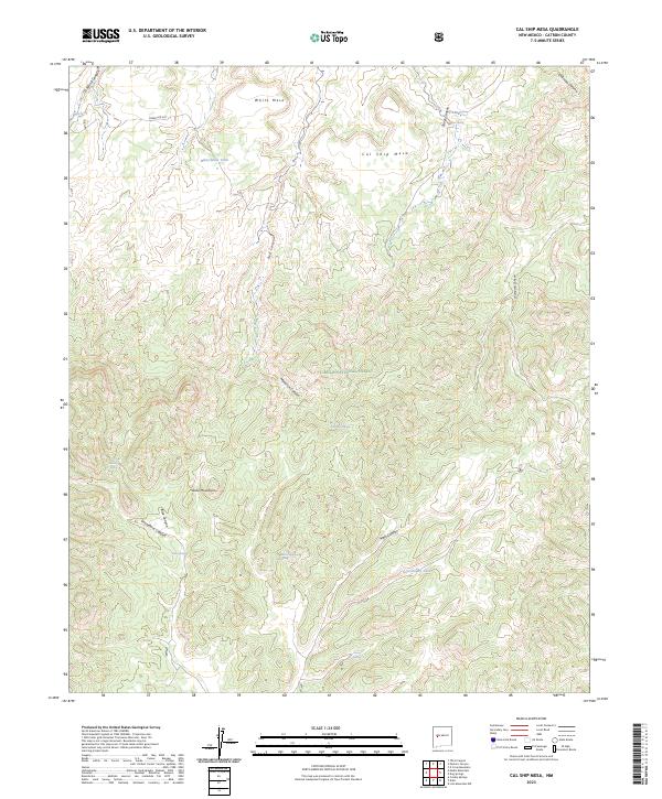
2023 Cal Ship Mesa
Catron County, NM
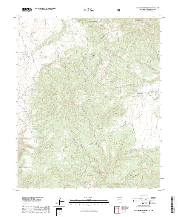
2023 Canyon Creek Mountains
Catron County, NM
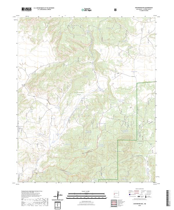
2023 Centerfire Bog
Catron County, NM
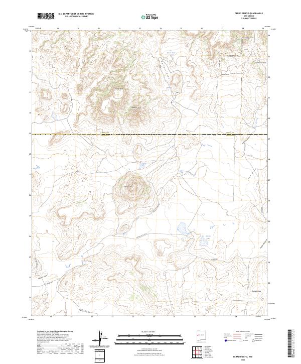
2023 Cerro Prieto
Catron County, NM
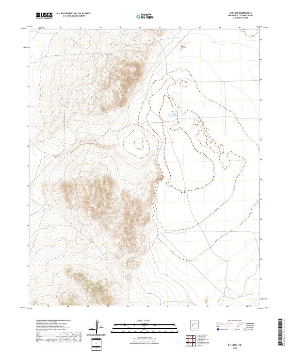
2023 C-N Lake
Catron County, NM
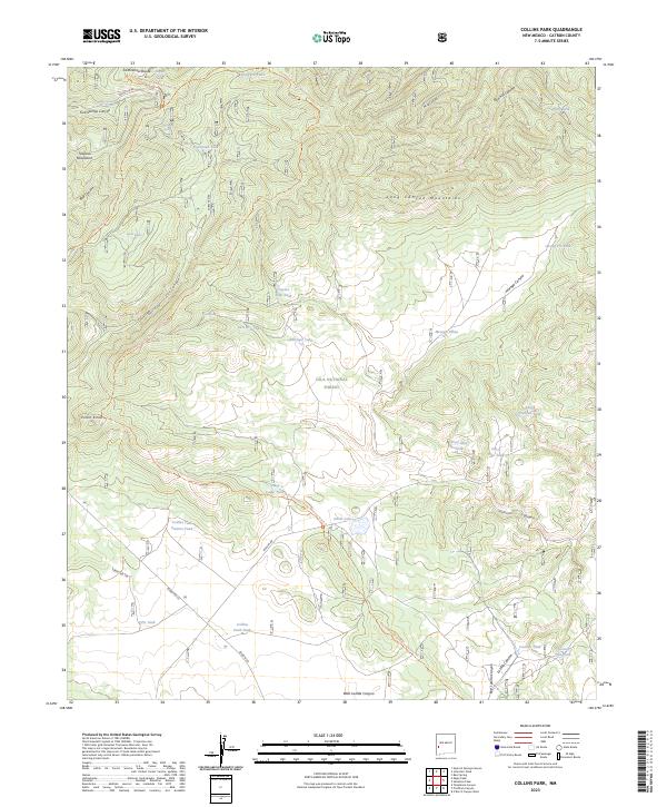
2023 Collins Park
Catron County, NM
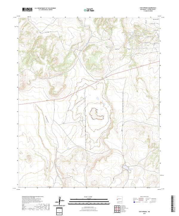
2023 Cow Springs
Catron County, NM
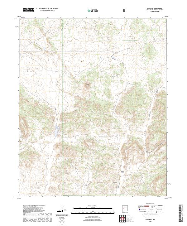
2023 Cox Peak
Catron County, NM
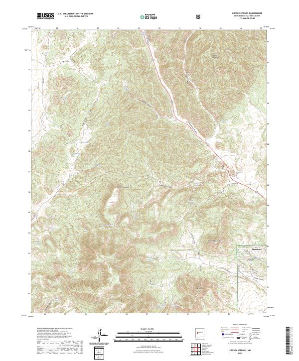
2023 Crosby Springs
Catron County, NM
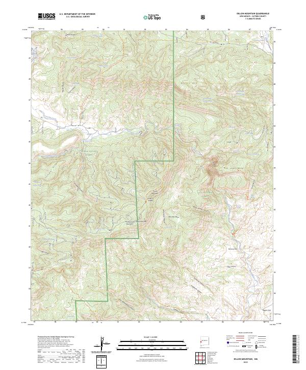
2023 Dillon Mountain
Catron County, NM
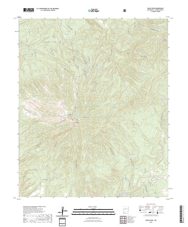
2023 Eagle Peak
Catron County, NM
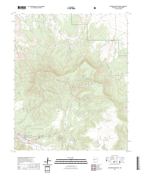
2023 Escondido Mountain
Catron County, NM
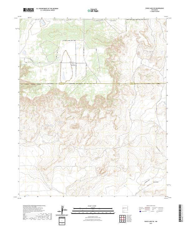
2023 Fence Lake SW
Catron County, NM
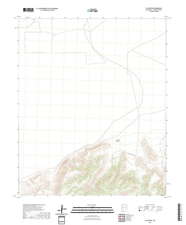
2023 Fullerton
Catron County, NM
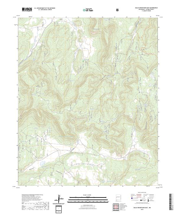
2023 Gallo Mountains East
Catron County, NM
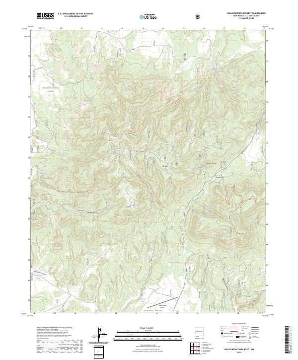
2023 Gallo Mountains West
Catron County, NM
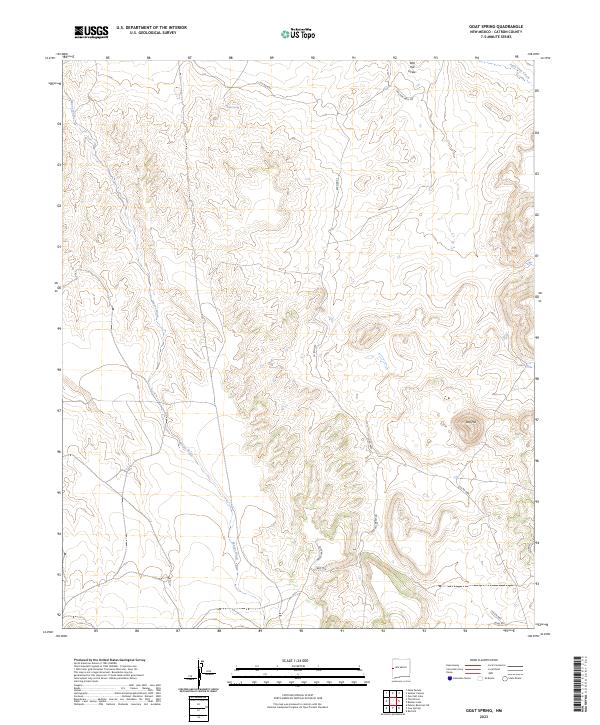
2023 Goat Spring
Catron County, NM
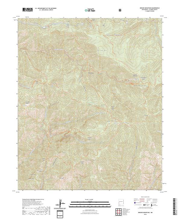
2023 Grouse Mountain
Catron County, NM
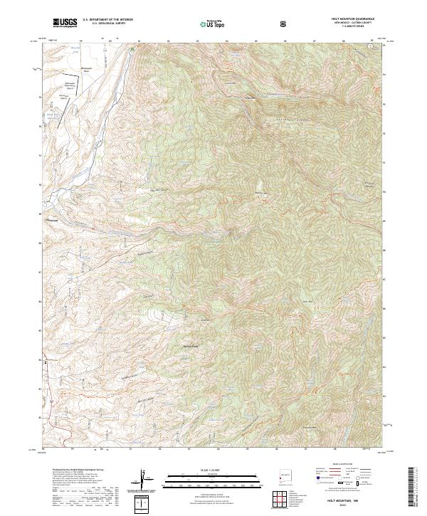
2023 Holt Mountain
Catron County, NM

2023 Horse Mountain East
Catron County, NM
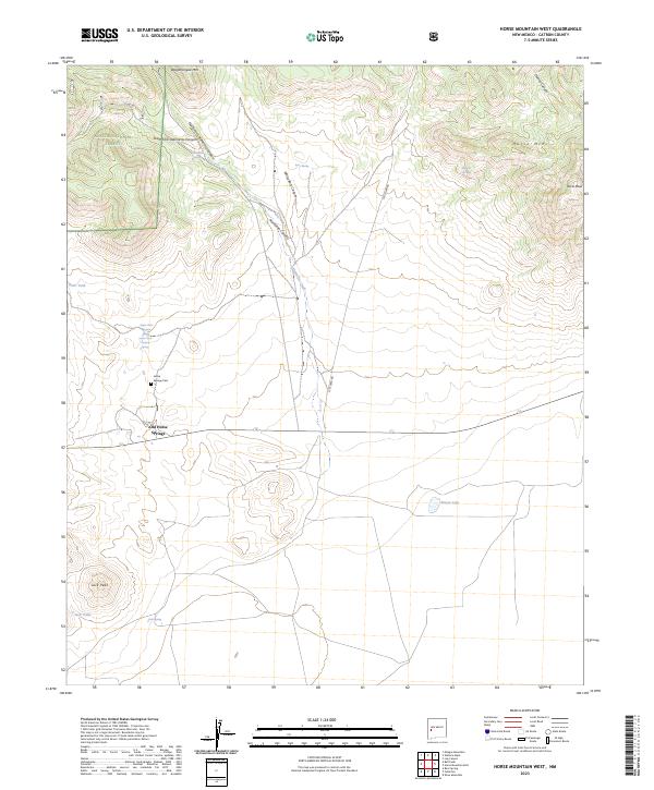
2023 Horse Mountain West
Catron County, NM
2023 Indian Peaks East
Catron County, NM
2023 Indian Peaks West
Catron County, NM
2023 John Kerr Peak
Catron County, NM
2023 Jones Canyon
Catron County, NM
2023 Lake Armijo
Catron County, NM
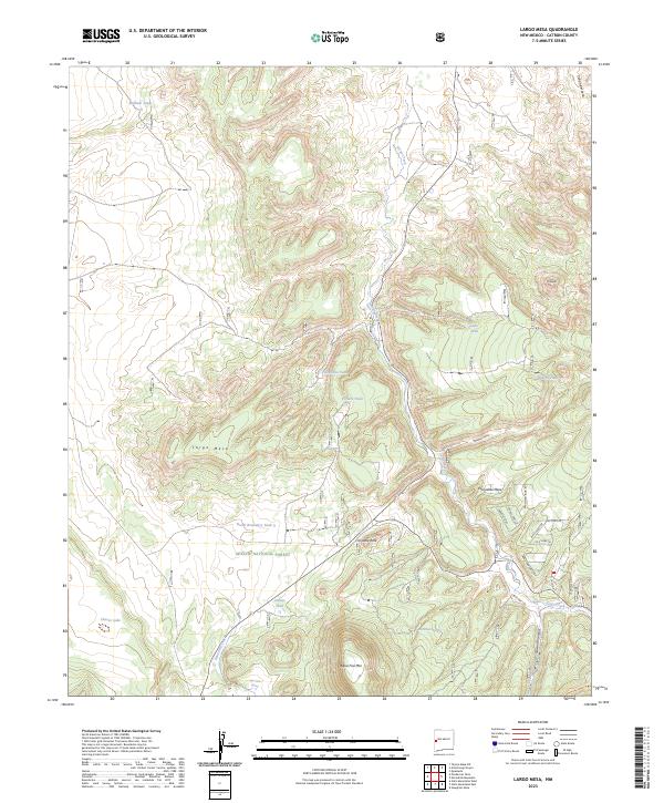
2023 Largo Mesa
Catron County, NM
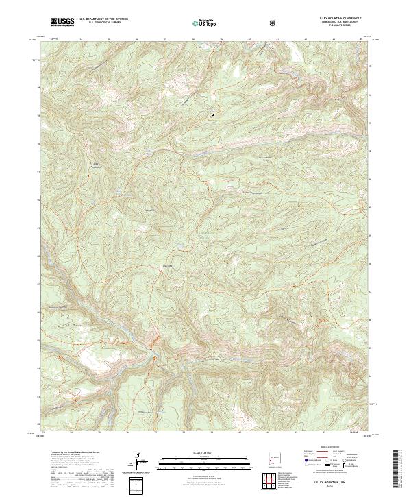
2023 Lilley Mountain
Catron County, NM
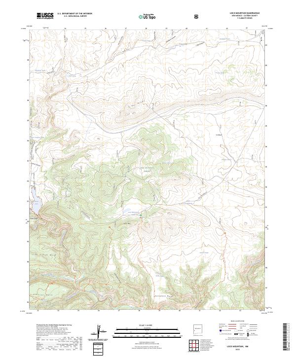
2023 Loco Mountain
Catron County, NM
2023 Log Canyon
Catron County, NM
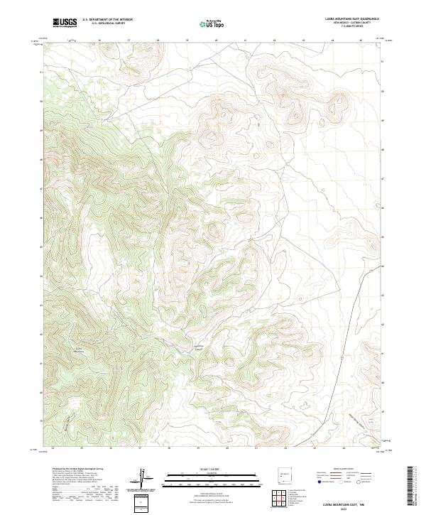
2023 Luera Mountains East
Catron County, NM
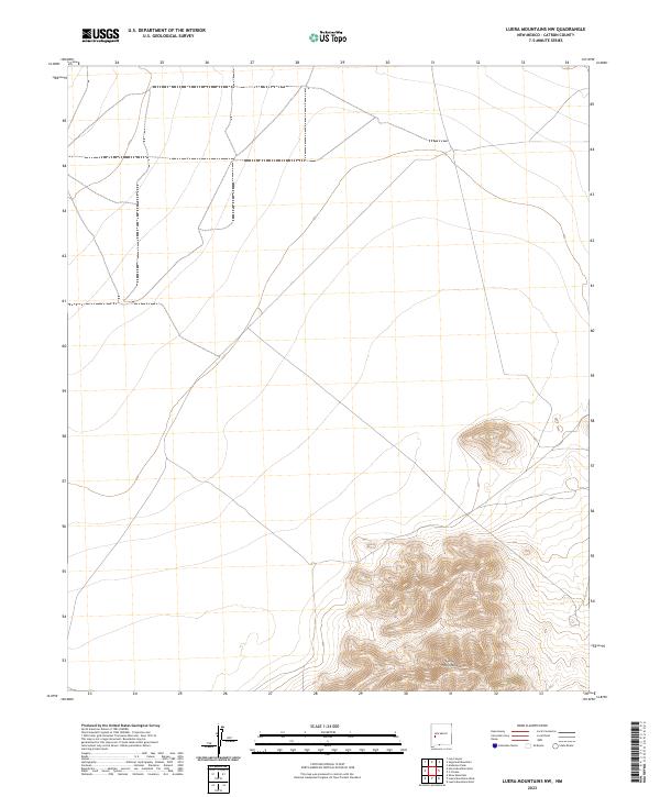
2023 Luera Mountains NW
Catron County, NM
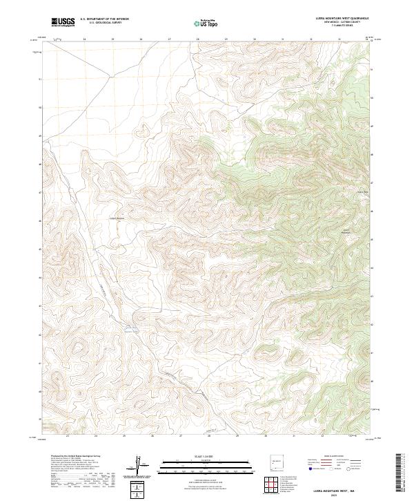
2023 Luera Mountains West
Catron County, NM
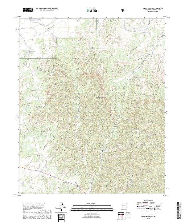
2023 Madre Mountain
Catron County, NM
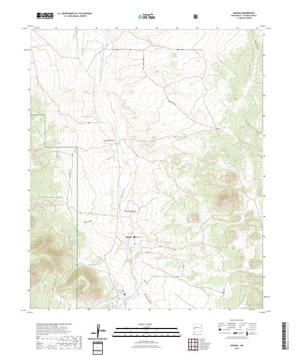
2023 Mangas
Catron County, NM
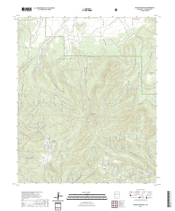
2023 Mangas Mountain
Catron County, NM
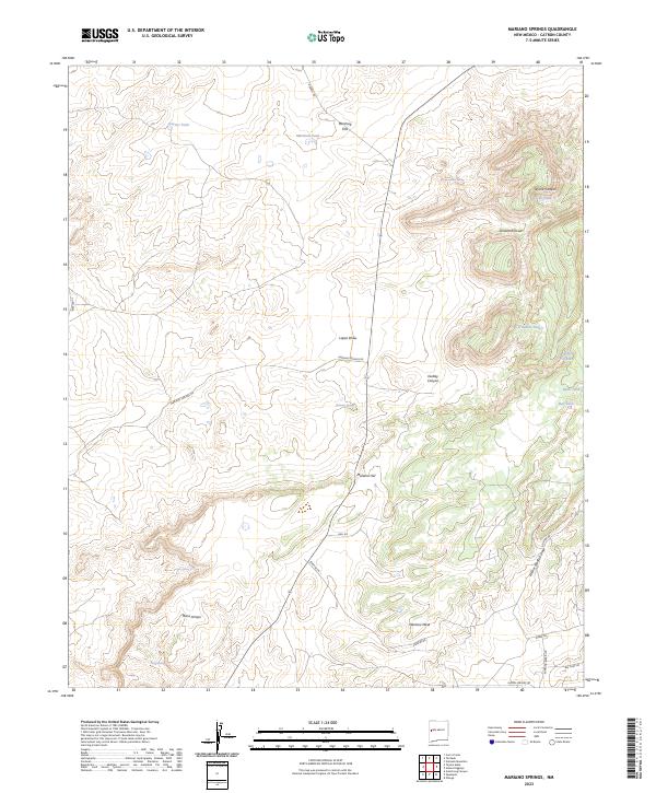
2023 Mariano Springs
Catron County, NM
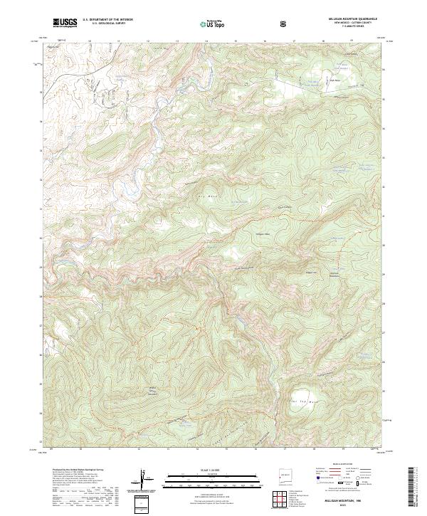
2023 Milligan Mountain
Catron County, NM
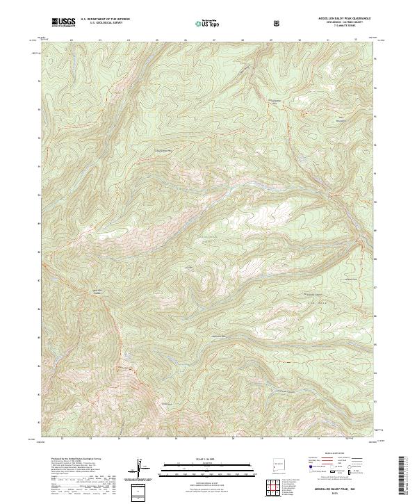
2023 Mogollon Baldy Peak
Catron County, NM

2023 Mojonera Canyon
Catron County, NM
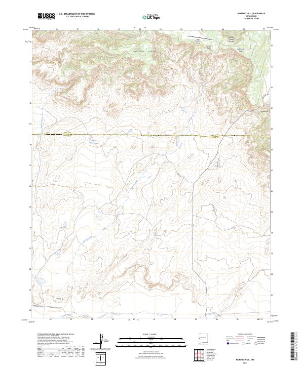
2023 Moreno Hill
Catron County, NM
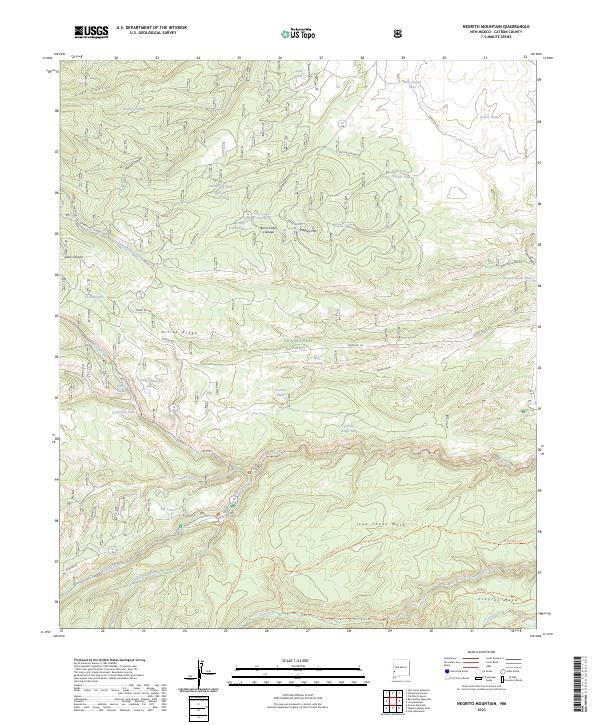
2023 Negrito Mountain
Catron County, NM
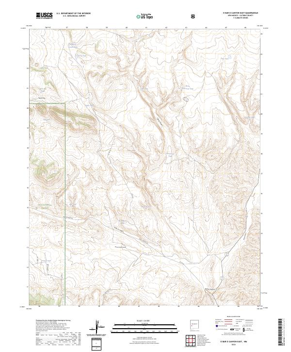
2023 O Bar O Canyon East
Catron County, NM
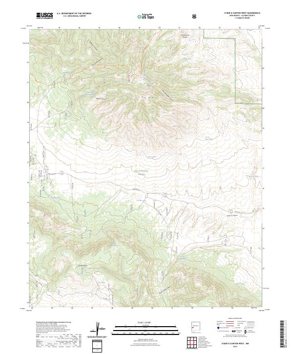
2023 O Bar O Canyon West
Catron County, NM
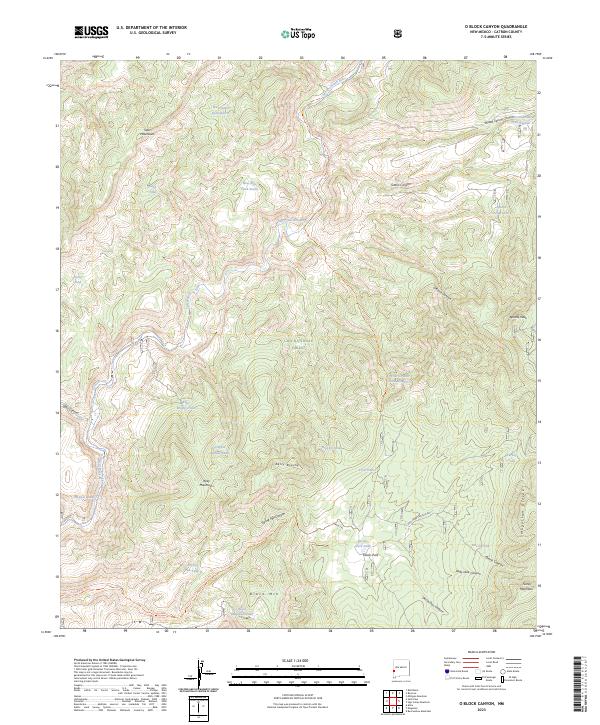
2023 O Block Canyon
Catron County, NM
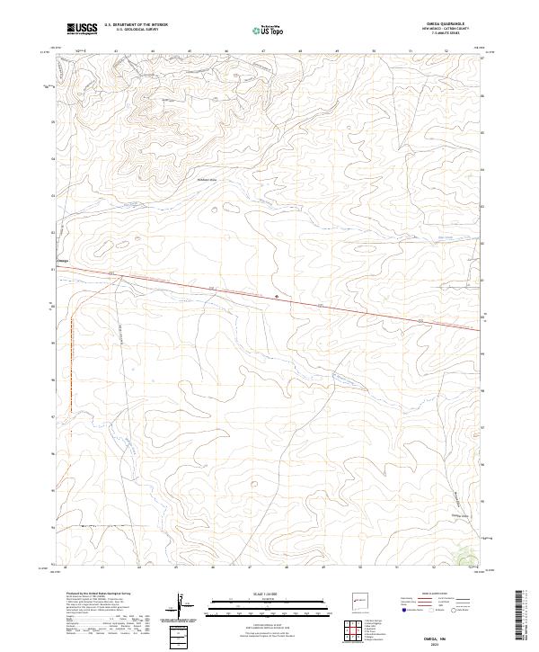
2023 Omega
Catron County, NM
2023 Paddys Hole
Catron County, NM
2023 Pasture Canyon
Catron County, NM
2023 Pelona Mountain
Catron County, NM
2023 Pitchfork Canyon
Catron County, NM
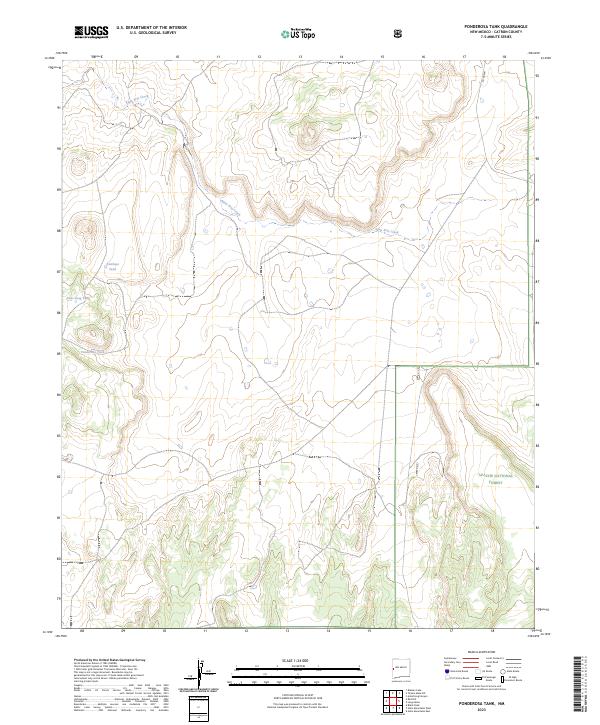
2023 Ponderosa Tank
Catron County, NM
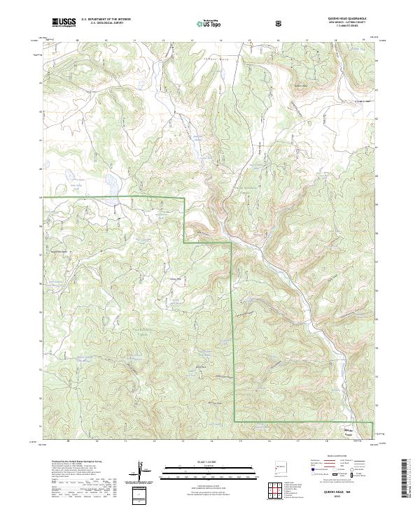
2023 Queens Head
Catron County, NM
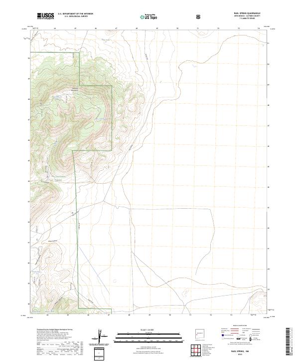
2023 Rael Spring
Catron County, NM
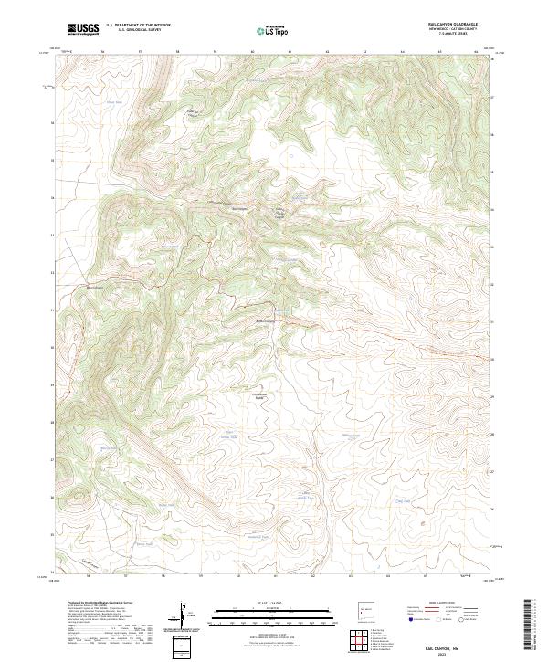
2023 Rail Canyon
Catron County, NM
2023 Red Flats
Catron County, NM
2023 Red Hill
Catron County, NM
2023 Salazar Canyon
Catron County, NM
2023 Saliz Pass
Catron County, NM
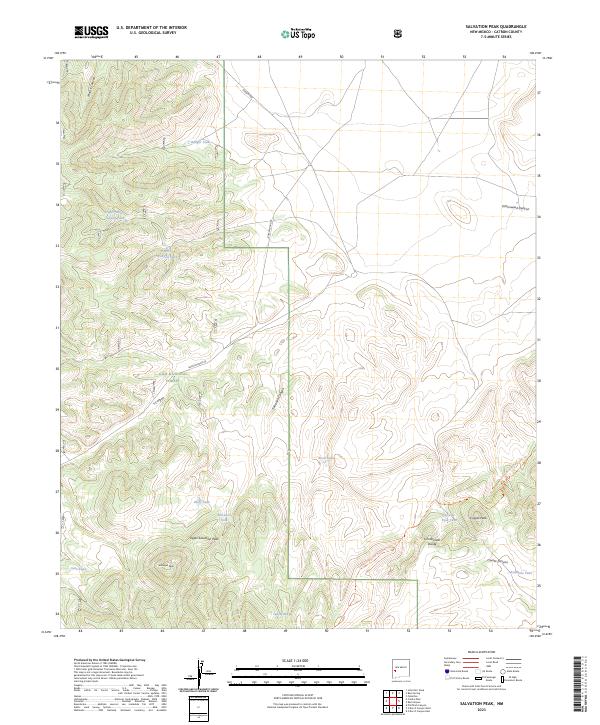
2023 Salvation Peak
Catron County, NM
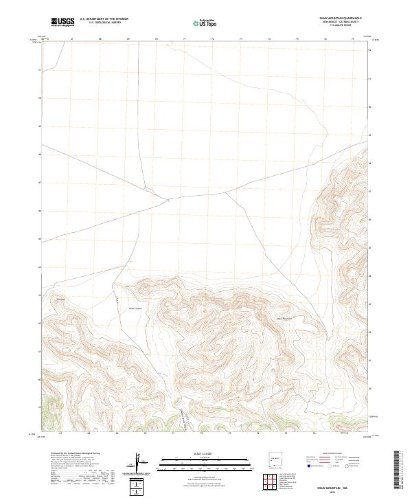
2023 Shaw Mountain
Catron County, NM
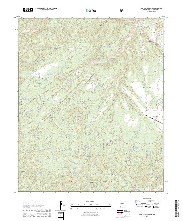
2023 Sign Camp Mountain
Catron County, NM
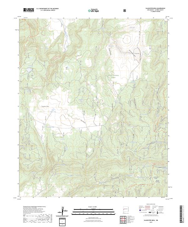
2023 Slaughter Mesa
Catron County, NM
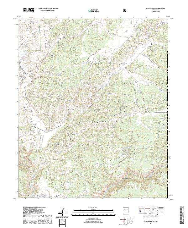
2023 Spring Canyon
Catron County, NM
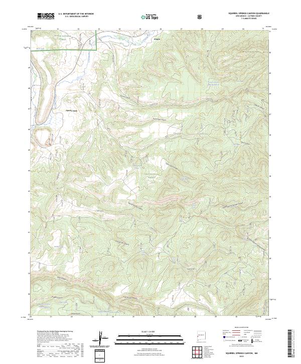
2023 Squirrel Springs Canyon
Catron County, NM
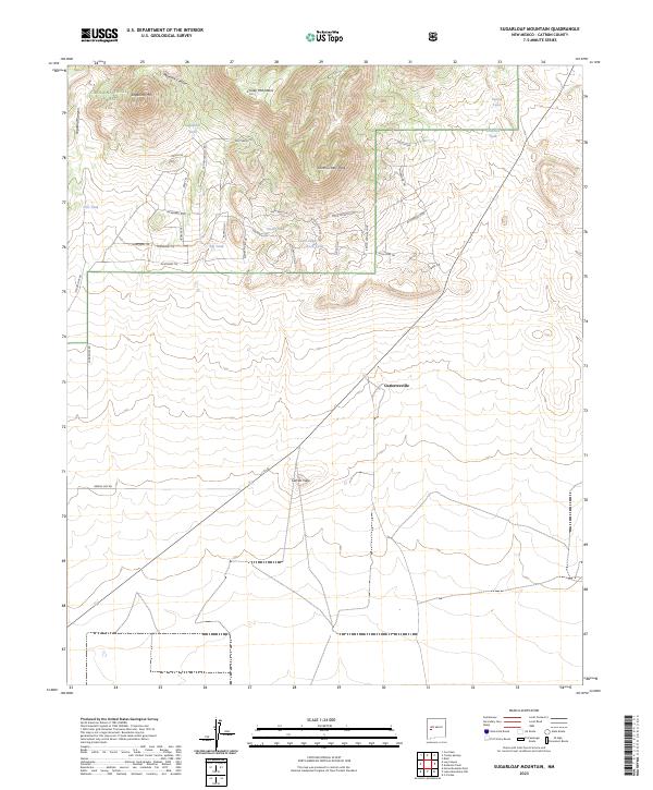
2023 Sugarloaf Mountain
Catron County, NM
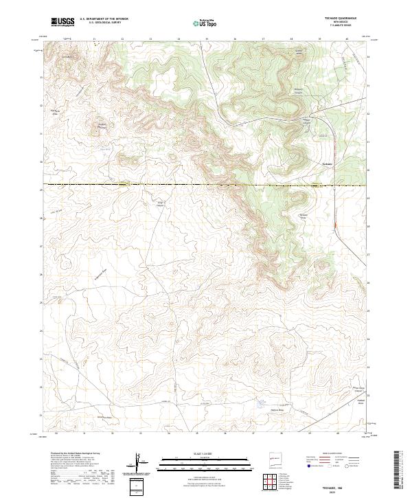
2023 Techado
Catron County, NM
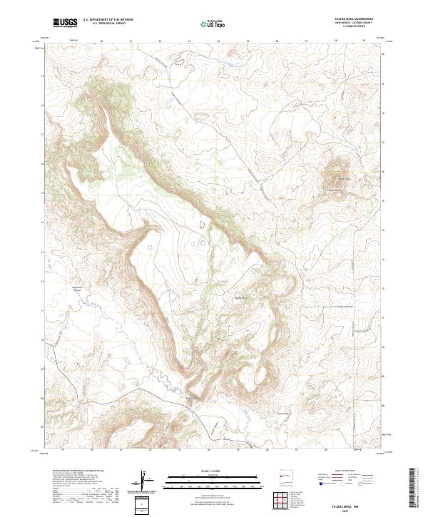
2023 Tejana Mesa
Catron County, NM
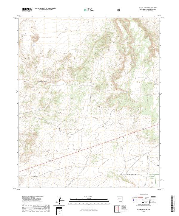
2023 Tejana Mesa SW
Catron County, NM
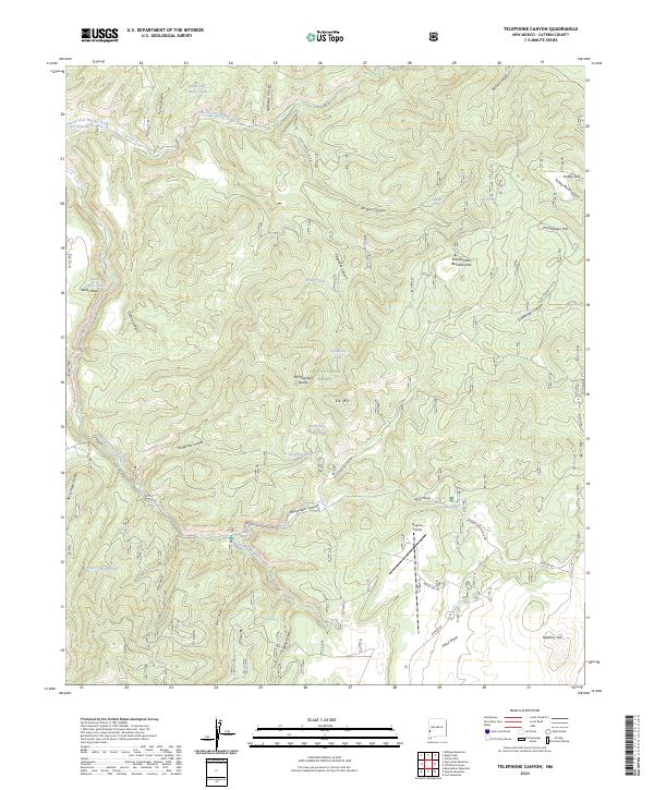
2023 Telephone Canyon
Catron County, NM
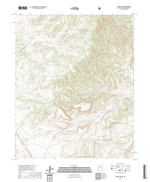
2023 Third Canyon
Catron County, NM
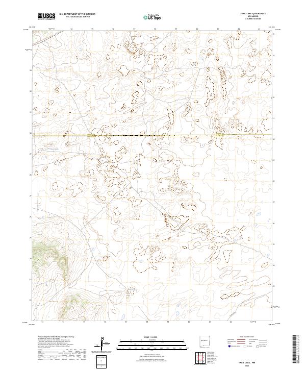
2023 Trail Lake
Catron County, NM
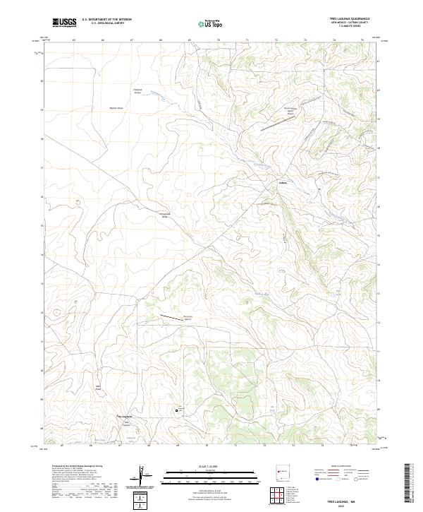
2023 Tres Lagunas
Catron County, NM
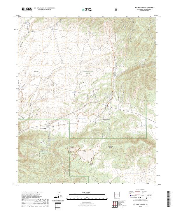
2023 Tularosa Canyon
Catron County, NM
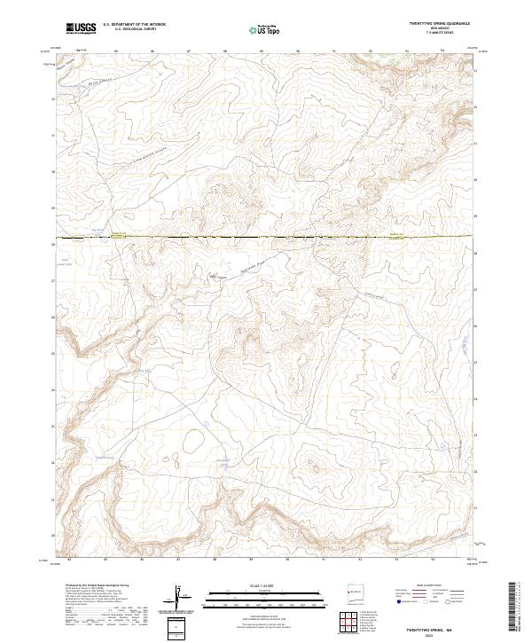
2023 Twentytwo Spring
Catron County, NM
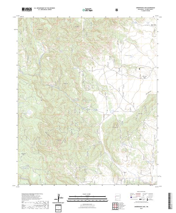
2023 Underwood Lake
Catron County, NM
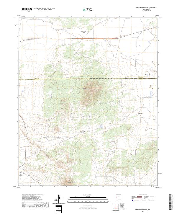
2023 Veteado Mountain
Catron County, NM
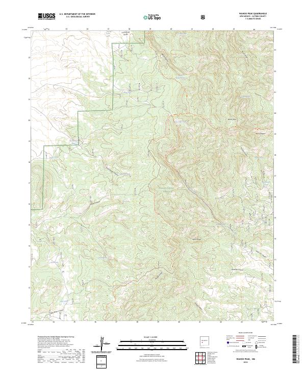
2023 Wahoo Peak
Catron County, NM
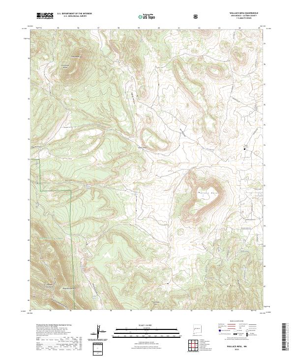
2023 Wallace Mesa
Catron County, NM
2023 Wall Lake
Catron County, NM
2023 Wild Horse Canyon
Catron County, NM
2023 Woodland Park
Catron County, NM
2023 York Ranch SE
Catron County, NM
2023 Zuni Salt Lake
Catron County, NM